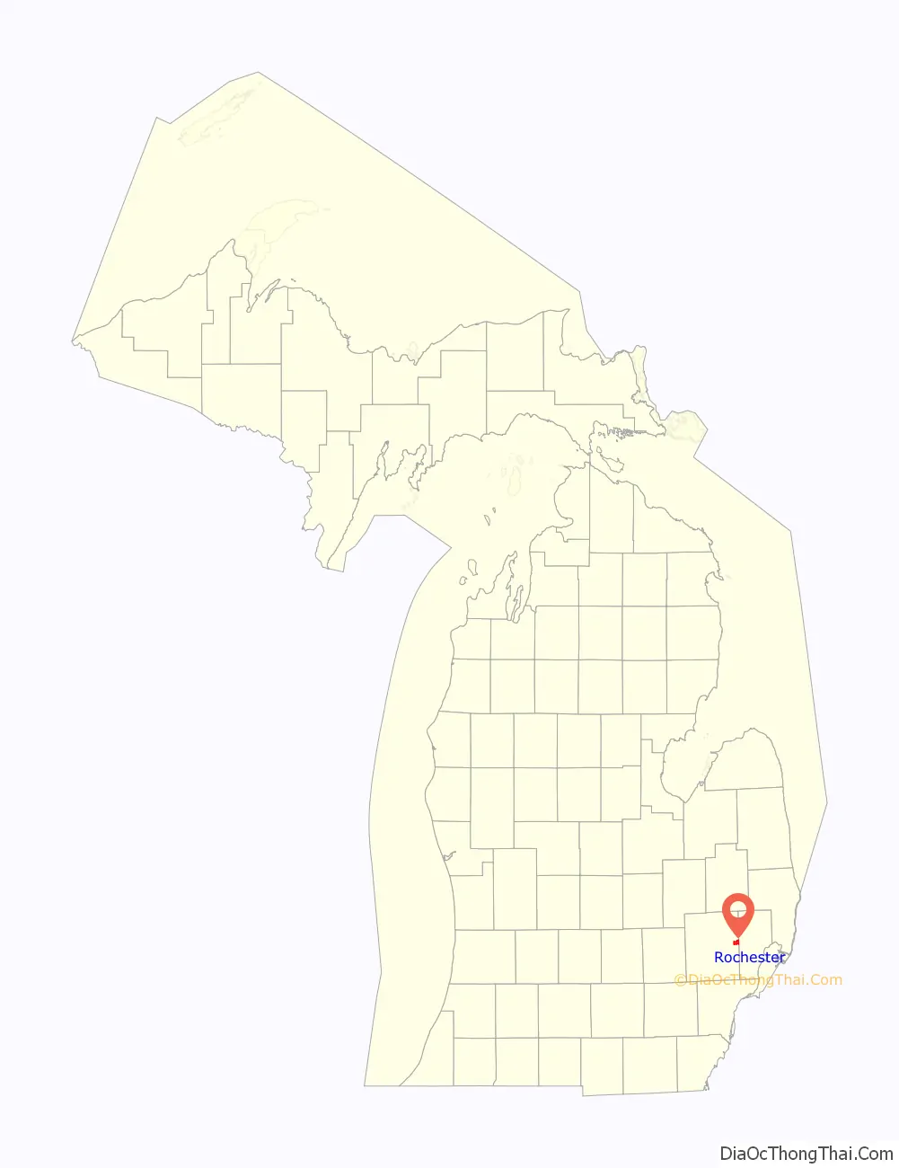
Rochester is a city in Oakland County in the U.S. state of Michigan. The population was 12,711 at the 2010 census. It is a northern suburb in Metro Detroit located 20 miles north of the city of Detroit.
Rochester was the first European settlement in Oakland County when it was founded in 1818. It became part of the Avon Township in 1835 and incorporated as an autonomous city in 1967. It is mostly surrounded by the city of Rochester Hills and also borders Shelby Township to the east.
| Name: | Rochester city |
|---|---|
| LSAD Code: | 25 |
| LSAD Description: | city (suffix) |
| State: | Michigan |
| County: | Oakland County |
| Elevation: | 751 ft (229 m) |
| Land Area: | 3.83 sq mi (9.92 km²) |
| Water Area: | 0.00 sq mi (0.00 km²) |
| Population Density: | 3,402.51/sq mi (1,313.75/km²) |
| Area code: | 248 and 947 |
| FIPS code: | 2669020 |
| GNISfeature ID: | 0636069 |
Online Interactive Map
Click on ![]() to view map in "full screen" mode.
to view map in "full screen" mode.
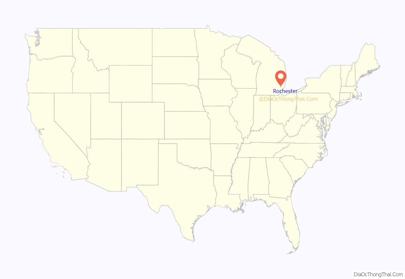
Rochester location map. Where is Rochester city?
History
The Odawa, Ojibwe, Potawatomi and Wyandot peoples all resided in the Rochester area. All of them ceded land claims by the early 19th century. The first settlers in what would become Rochester, the Graham family, built a log cabin in 1817. The cabin was located on present-day 3rd St., just west of Main. The city was named for Rochester, New York, just like Rochester, Minnesota, as many early settlers to the area were formerly from the state of New York.
The city became an industrial center with abundant water power from the Clinton River and Paint Creek. The interconnected waterways are no longer used for travel or local industry, but provide natural beauty, some fishing, and a healthy portion of the Clinton Watershed. Historically, past industries formerly located in Rochester included a refinery for sugar beets, a paper products company, and the Western Knitting Mills factory, which was later adapted and utilized during World War II for incendiary production—businesses that no longer exist in the area. Rochester was served by two railroads as well as the Detroit United Railway, an interurban to Royal Oak and Detroit.
Chapman Mill Pond, east of downtown, disappeared into the Paint Creek when the dam broke during the flood of 1946. The reclaimed land is the site of the current post office, Rochester Hills library, and Olde Towne Road. Water Street, formerly situated at the edge of the large pond, remains by its name a reminder of the pond’s former existence.
Michigan became the 26th state in 1837, and the Village of Rochester was formed on April 12, 1869, within the boundaries of Avon Township. By 1895, Rochester’s population was 900. The village became the city of Rochester in 1967, breaking away from Avon Township. Avon Township became the City of Rochester Hills in 1984, following a long court battle, where the city of Rochester annexed 2.2 square miles (5.7 km) of Avon Township’s land. It more than doubled the city of Rochester’s size.
Rochester Road Map

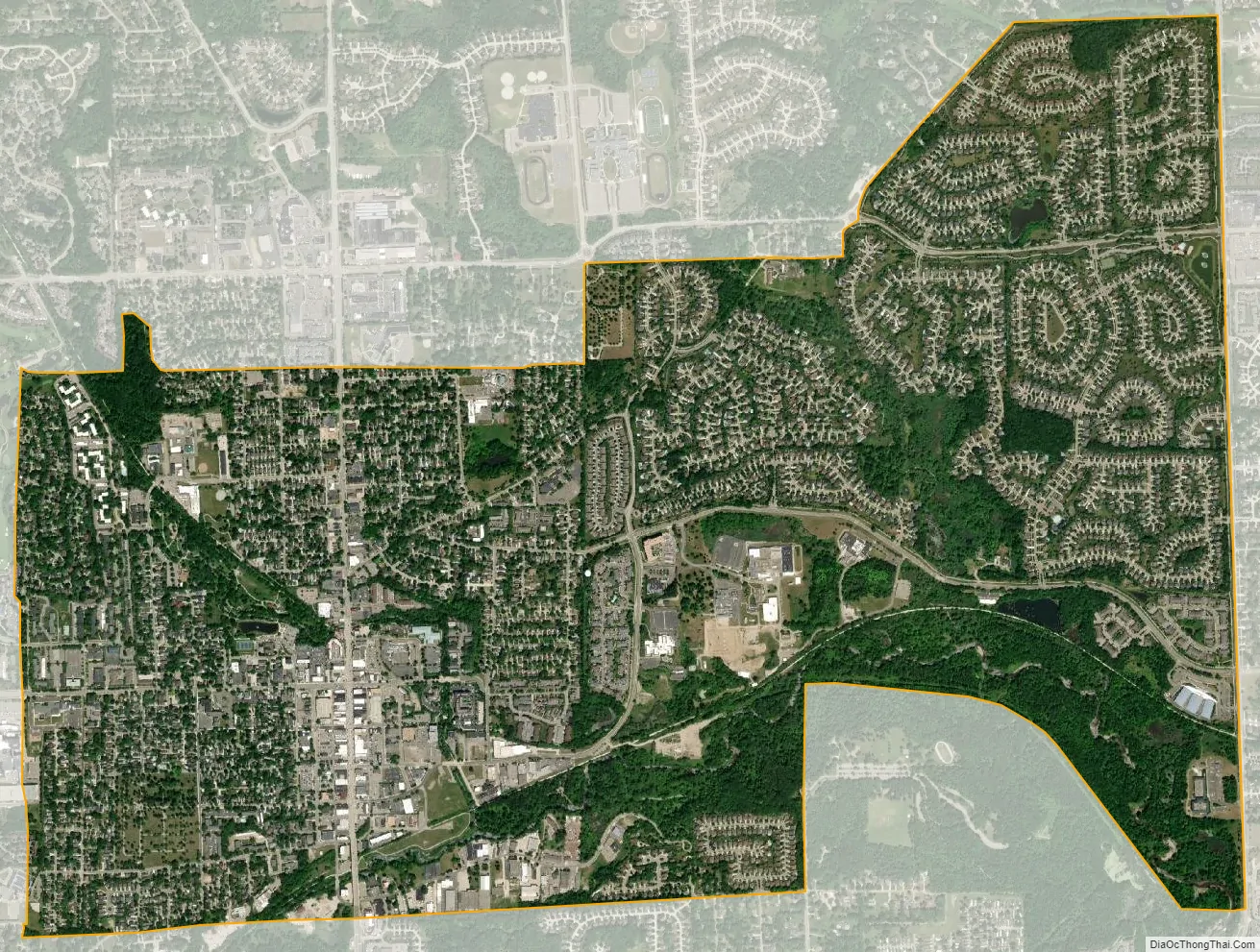
Rochester city Satellite Map
Geography
According to the United States Census Bureau, the city has a total area of 3.82 square miles (9.89 km), all land.
Since an annexation of a section of Avon Township (now Rochester Hills), the city has an eastern boundary that extends to the border with Macomb County.
See also
Map of Michigan State and its subdivision:- Alcona
- Alger
- Allegan
- Alpena
- Antrim
- Arenac
- Baraga
- Barry
- Bay
- Benzie
- Berrien
- Branch
- Calhoun
- Cass
- Charlevoix
- Cheboygan
- Chippewa
- Clare
- Clinton
- Crawford
- Delta
- Dickinson
- Eaton
- Emmet
- Genesee
- Gladwin
- Gogebic
- Grand Traverse
- Gratiot
- Hillsdale
- Houghton
- Huron
- Ingham
- Ionia
- Iosco
- Iron
- Isabella
- Jackson
- Kalamazoo
- Kalkaska
- Kent
- Keweenaw
- Lake
- Lake Hurron
- Lake Michigan
- Lake St. Clair
- Lake Superior
- Lapeer
- Leelanau
- Lenawee
- Livingston
- Luce
- Mackinac
- Macomb
- Manistee
- Marquette
- Mason
- Mecosta
- Menominee
- Midland
- Missaukee
- Monroe
- Montcalm
- Montmorency
- Muskegon
- Newaygo
- Oakland
- Oceana
- Ogemaw
- Ontonagon
- Osceola
- Oscoda
- Otsego
- Ottawa
- Presque Isle
- Roscommon
- Saginaw
- Saint Clair
- Saint Joseph
- Sanilac
- Schoolcraft
- Shiawassee
- Tuscola
- Van Buren
- Washtenaw
- Wayne
- Wexford
- Alabama
- Alaska
- Arizona
- Arkansas
- California
- Colorado
- Connecticut
- Delaware
- District of Columbia
- Florida
- Georgia
- Hawaii
- Idaho
- Illinois
- Indiana
- Iowa
- Kansas
- Kentucky
- Louisiana
- Maine
- Maryland
- Massachusetts
- Michigan
- Minnesota
- Mississippi
- Missouri
- Montana
- Nebraska
- Nevada
- New Hampshire
- New Jersey
- New Mexico
- New York
- North Carolina
- North Dakota
- Ohio
- Oklahoma
- Oregon
- Pennsylvania
- Rhode Island
- South Carolina
- South Dakota
- Tennessee
- Texas
- Utah
- Vermont
- Virginia
- Washington
- West Virginia
- Wisconsin
- Wyoming


