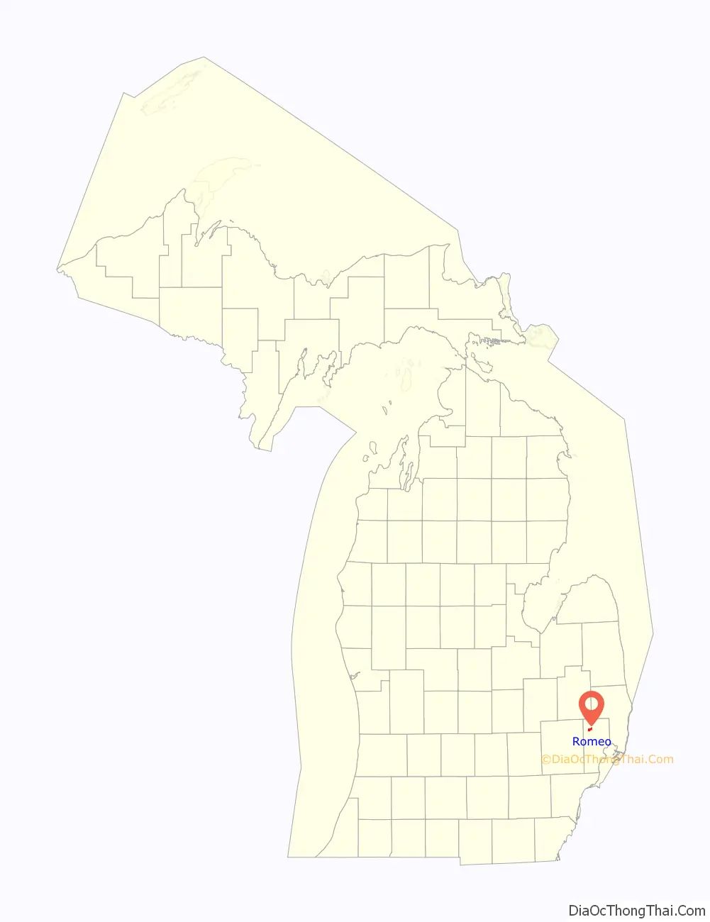
Romeo is a village in Macomb County in the U.S. state of Michigan. The population was 3,596 at the 2010 census. The village is situated at the southeast corner of Bruce Township, with a portion extending south into Washington Township. Armada Township is adjacent to the east and Ray Township to the southeast. Romeo is located on the rural-urban fringe of the Detroit metropolitan area, and many of its residents commute to jobs closer to the city.
Romeo is known for its Peach Festival, which takes place every year during Labor Day weekend. This event dates back to 1931 and includes a car show, floral parade, craft show, and many other events.
Tillson Street in Romeo is known for its elaborate Halloween decorations. Thousands trick-or-treat Tillson Street every Halloween to see the homeowners’ one-of-a-kind Halloween stages.
On February 14 of each year, the village of Romeo offers a special dual postmark with the community of Juliette, Georgia. This tradition began in 1994, as a nod to the William Shakespeare play, Romeo and Juliet.
| Name: | Romeo village |
|---|---|
| LSAD Code: | 47 |
| LSAD Description: | village (suffix) |
| State: | Michigan |
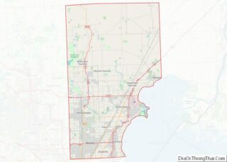
| County: | Macomb County |
| Elevation: | 810 ft (250 m) |
| Total Area: | 2.05 sq mi (5.32 km²) |
| Land Area: | 2.05 sq mi (5.31 km²) |
| Water Area: | 0.00 sq mi (0.01 km²) |
| Total Population: | 3,767 |
| Population Density: | 1,835.77/sq mi (708.89/km²) |
| Area code: | 586 |
| FIPS code: | 2669400 |
| GNISfeature ID: | 0636145 |
Online Interactive Map
Click on ![]() to view map in "full screen" mode.
to view map in "full screen" mode.
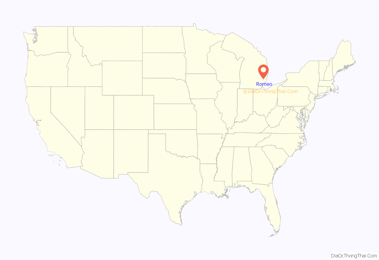
Romeo location map. Where is Romeo village?
History
A settlement here was originally occupied by the indigenous Chippewa (Ojibwe), an Algonquian-speaking people who were part of a large language family of tribes extending to the Atlantic Coast. Those tribes around the Great Lakes are thought to have migrated to this area by the 12th century.
The early European-American settlers in this area referred to the Chippewa settlement as Indian Village. In the 1820s and 1830s more migrant European-American families began to settle in the area, building homes and establishing businesses. They renamed the community as Hoxie’s Settlement, named after a man who opened an inn on main street. In 1839, Hoxie’s Settlement became incorporated and was renamed as the village of Romeo. The name was suggested by the wife of local merchant Nathaniel Taylor because it was “short, musical, classical and uncommon.”. Romeo celebrated its 175th anniversary as of March 9, 2013.
Romeo once served as a trading center for the timber industry, and had many mills processing lumber from the region. Many wealthy timber families resided there. Dozens of stately Victorian mansions survive. Romeo is distinct in the area for having a fairly robust, traditional downtown, which has never suffered a major fire. Because of this, some stores and restaurants downtown have features such as original tin ceilings from the Civil War. In the early 20th century, Romeo was the site of an early business devoted to the new automobile industry: the Detroit Auto Vehicle Company operated here from 1904 until 1908.
Romeo Road Map
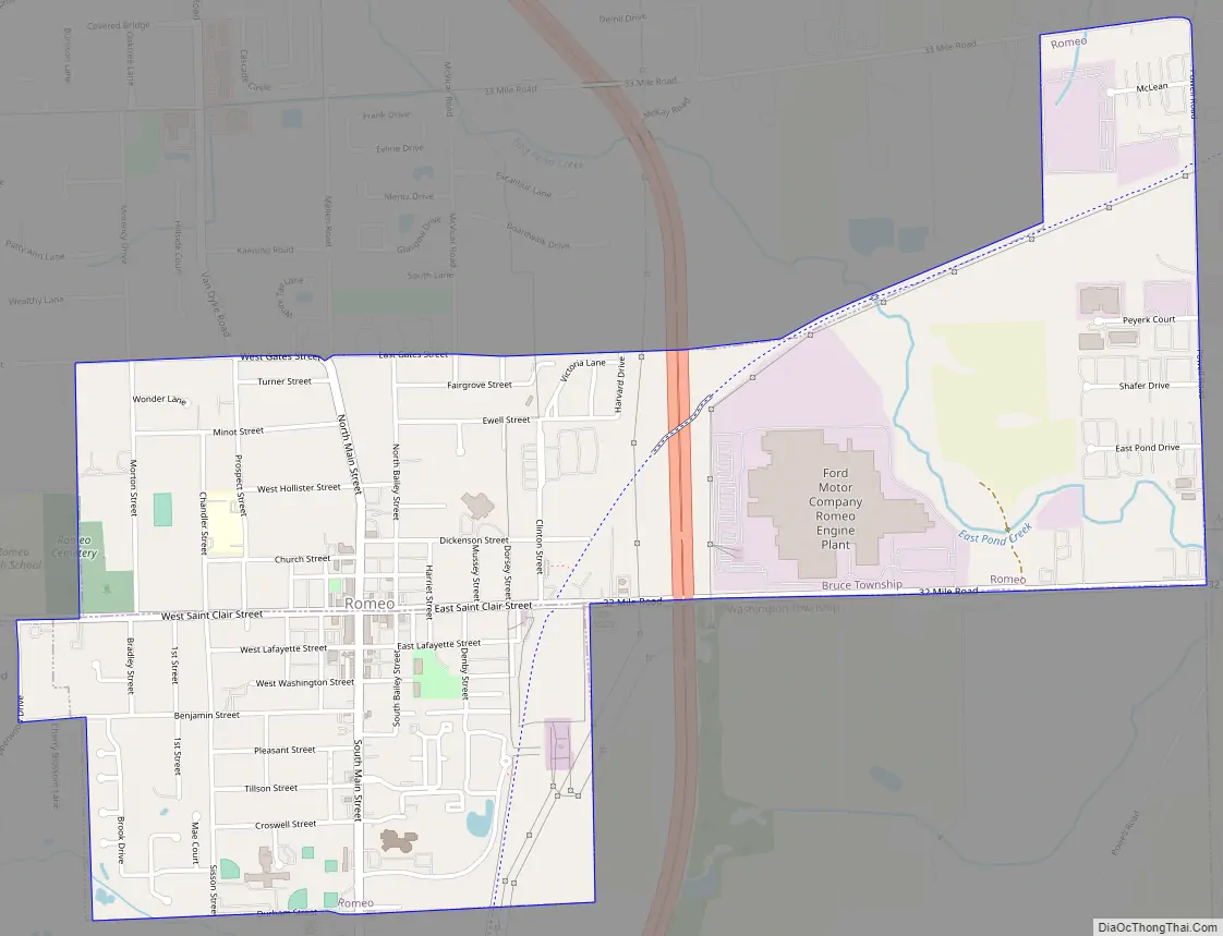
Romeo city Satellite Map

Geography
According to the United States Census Bureau, the village has a total area of 2.02 square miles (5.23 km), all land.
See also
Map of Michigan State and its subdivision:- Alcona
- Alger
- Allegan
- Alpena
- Antrim
- Arenac
- Baraga
- Barry
- Bay
- Benzie
- Berrien
- Branch
- Calhoun
- Cass
- Charlevoix
- Cheboygan
- Chippewa
- Clare
- Clinton
- Crawford
- Delta
- Dickinson
- Eaton
- Emmet
- Genesee
- Gladwin
- Gogebic
- Grand Traverse
- Gratiot
- Hillsdale
- Houghton
- Huron
- Ingham
- Ionia
- Iosco
- Iron
- Isabella
- Jackson
- Kalamazoo
- Kalkaska
- Kent
- Keweenaw
- Lake
- Lake Hurron
- Lake Michigan
- Lake St. Clair
- Lake Superior
- Lapeer
- Leelanau
- Lenawee
- Livingston
- Luce
- Mackinac
- Macomb
- Manistee
- Marquette
- Mason
- Mecosta
- Menominee
- Midland
- Missaukee
- Monroe
- Montcalm
- Montmorency
- Muskegon
- Newaygo
- Oakland
- Oceana
- Ogemaw
- Ontonagon
- Osceola
- Oscoda
- Otsego
- Ottawa
- Presque Isle
- Roscommon
- Saginaw
- Saint Clair
- Saint Joseph
- Sanilac
- Schoolcraft
- Shiawassee
- Tuscola
- Van Buren
- Washtenaw
- Wayne
- Wexford
- Alabama
- Alaska
- Arizona
- Arkansas
- California
- Colorado
- Connecticut
- Delaware
- District of Columbia
- Florida
- Georgia
- Hawaii
- Idaho
- Illinois
- Indiana
- Iowa
- Kansas
- Kentucky
- Louisiana
- Maine
- Maryland
- Massachusetts
- Michigan
- Minnesota
- Mississippi
- Missouri
- Montana
- Nebraska
- Nevada
- New Hampshire
- New Jersey
- New Mexico
- New York
- North Carolina
- North Dakota
- Ohio
- Oklahoma
- Oregon
- Pennsylvania
- Rhode Island
- South Carolina
- South Dakota
- Tennessee
- Texas
- Utah
- Vermont
- Virginia
- Washington
- West Virginia
- Wisconsin
- Wyoming