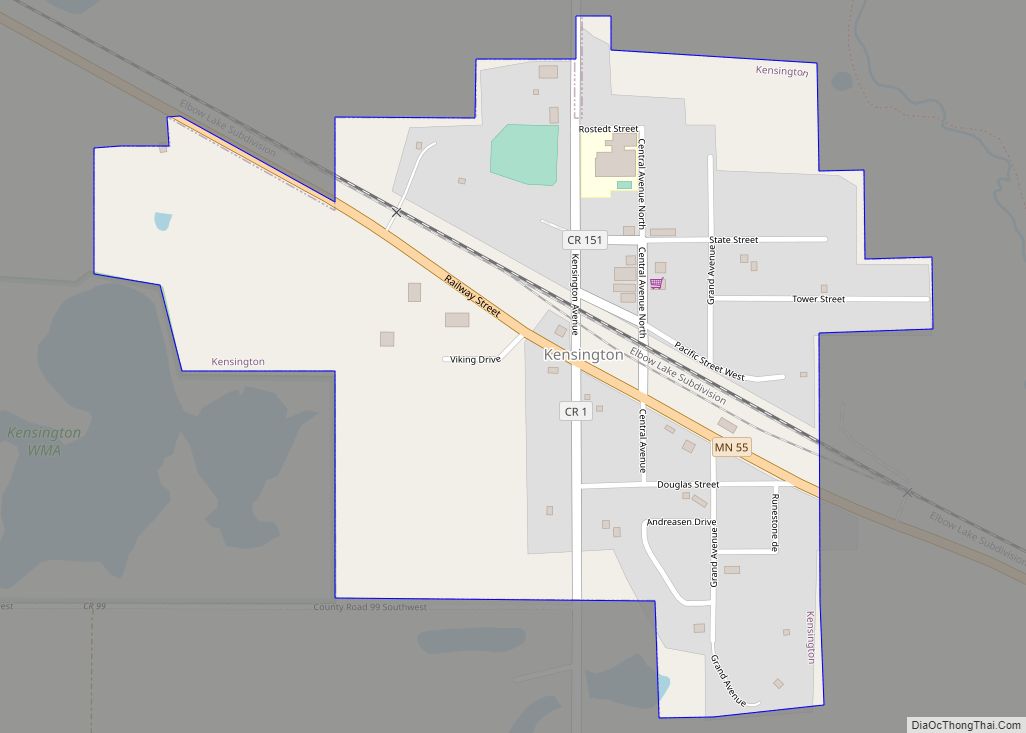
Kensington is a city in Douglas County, Minnesota, United States. The population was 266 at the 2020 census. The city is notable in Minnesota history for being the place where the Kensington Runestone was first displayed. It is now at a museum in nearby Alexandria, Minnesota. Kensington city overview: Name: Kensington city LSAD Code: 25 ... Read more
Minnesota Cities and Places
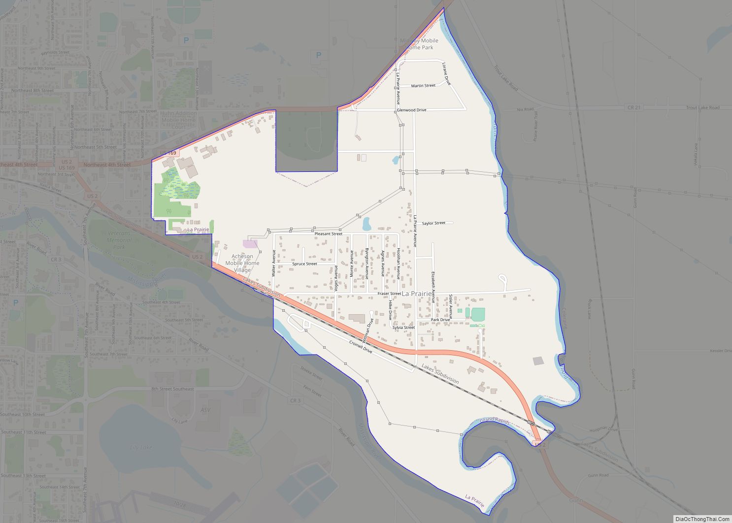
La Prairie is a city in Itasca County, Minnesota, United States. The population was 665 at the 2010 census. U.S. Highways 2 and 169 are two of the main routes in La Prairie. La Prairie city overview: Name: La Prairie city LSAD Code: 25 LSAD Description: city (suffix) State: Minnesota County: Itasca County Elevation: 1,283 ft ... Read more
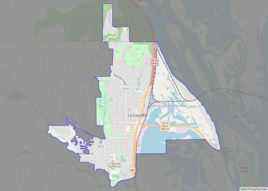
La Crescent is a city in Houston and Winona counties in the U.S. state of Minnesota. The population was 5,276 at the 2020 census. La Crescent is located in the northeast portion of Houston County; the northern edge of the city falls into Winona County. The city is known as the “Apple Capital of Minnesota” ... Read more
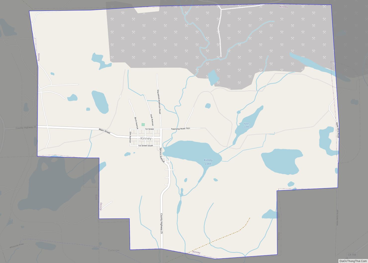
Kinney is a city in Saint Louis County, Minnesota, United States. The population was 169 at the time of the 2010 census. Kinney city overview: Name: Kinney city LSAD Code: 25 LSAD Description: city (suffix) State: Minnesota County: St. Louis County Elevation: 1,545 ft (471 m) Total Area: 4.13 sq mi (10.68 km²) Land Area: 3.91 sq mi (10.13 km²) Water Area: 0.21 sq mi ... Read more
Kingston is a city in Meeker County, Minnesota, United States, located along the North Fork of the Crow River. The population was 161 at the 2010 census. Kingston city overview: Name: Kingston city LSAD Code: 25 LSAD Description: city (suffix) State: Minnesota County: Meeker County Elevation: 1,034 ft (315 m) Total Area: 0.56 sq mi (1.44 km²) Land Area: 0.55 sq mi ... Read more
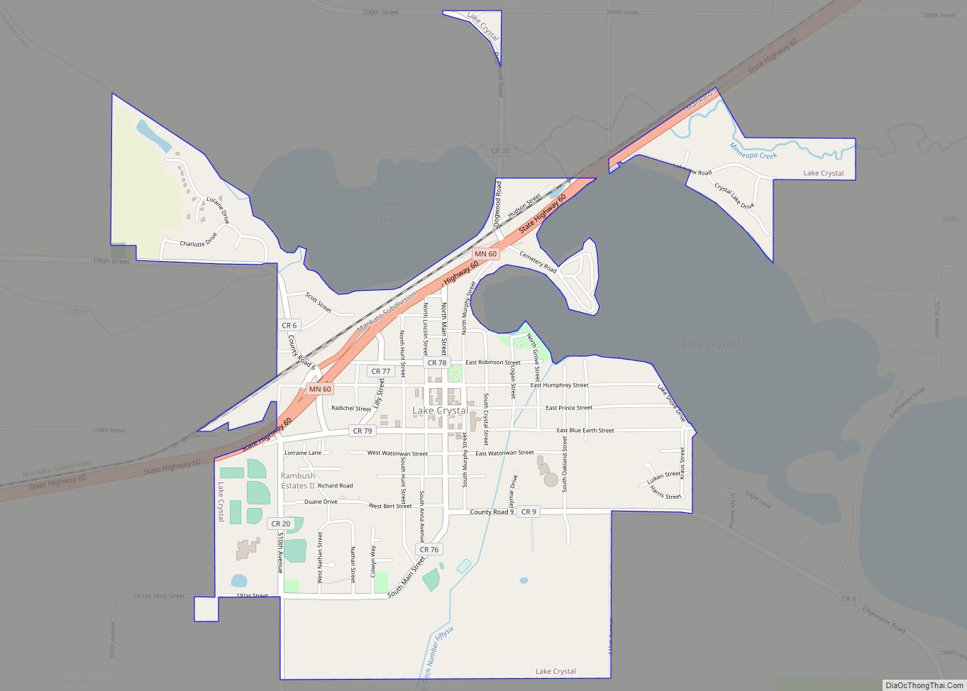
Lake Crystal is a city in Blue Earth County, Minnesota, United States, established in 1869. The population was 2,539 at the 2020 census. It is part of the Mankato–North Mankato Metropolitan Statistical Area. Lake Crystal city overview: Name: Lake Crystal city LSAD Code: 25 LSAD Description: city (suffix) State: Minnesota County: Blue Earth County Elevation: ... Read more
Lake City is a city in Goodhue and Wabasha counties in the U.S. state of Minnesota. It lies along Lake Pepin, a wide portion of the Mississippi River. The population was 5,063 at the 2010 census. Most of Lake City is located within Wabasha County with only a small portion in Goodhue County. Lake City ... Read more
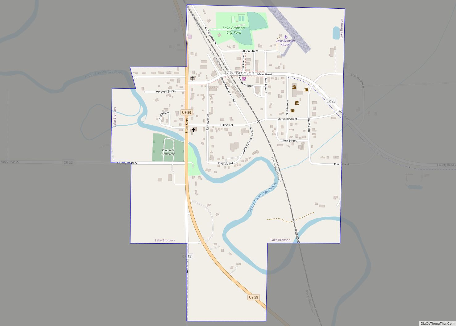
Lake Bronson is a city in Kittson County, Minnesota, United States. The population was 178 at the 2020 census. Lake Bronson State Park is nearby. Lake Bronson city overview: Name: Lake Bronson city LSAD Code: 25 LSAD Description: city (suffix) State: Minnesota County: Kittson County Elevation: 961 ft (293 m) Total Area: 0.55 sq mi (1.42 km²) Land Area: 0.53 sq mi ... Read more
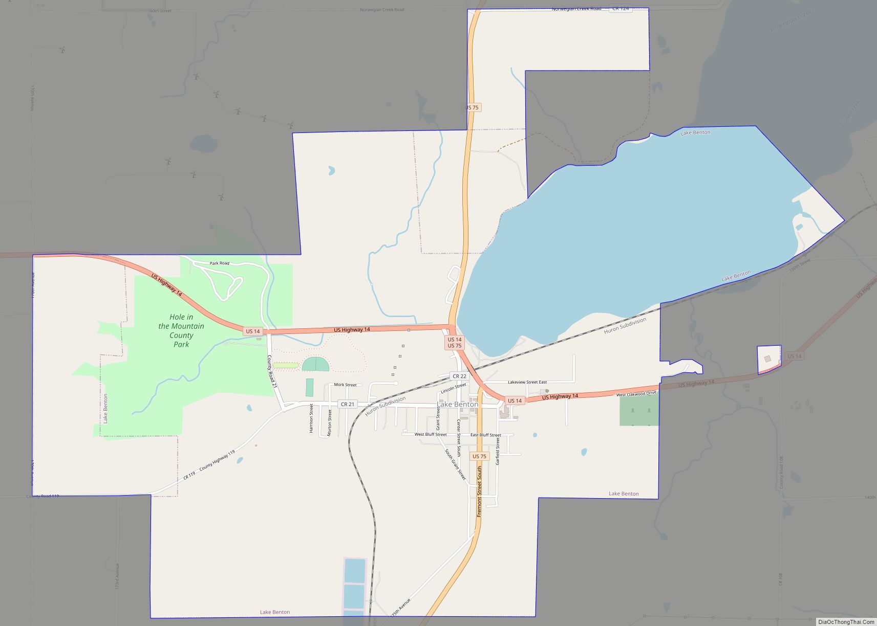
Lake Benton is a city in Lincoln County, Minnesota, United States. The population was 683 at the 2010 census. Lake Benton is also the name of the approximately seven-mile-long (11 km) lake adjacent to the city of Lake Benton. The town is on the Buffalo Ridge, and is the site for the radio tower of KKCK-FM ... Read more
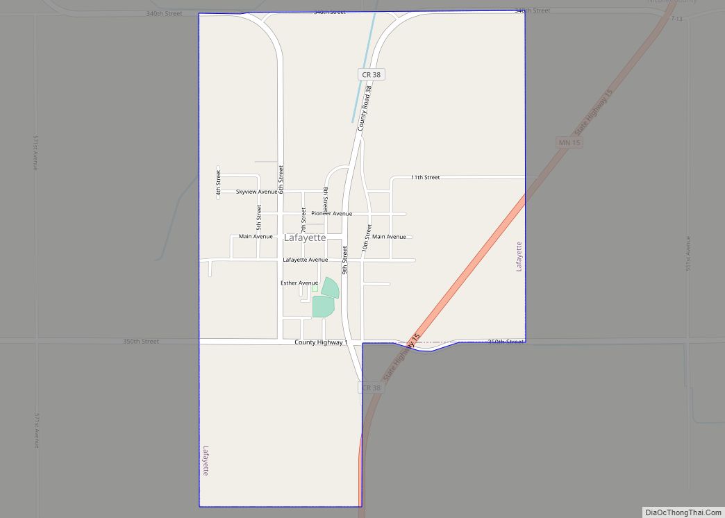
Lafayette is a city in Nicollet County, Minnesota, United States. The population was 492 at the 2020 census. It is a farming community just outside the larger town of New Ulm. Lafayette is part of the Mankato—North Mankato Metropolitan Statistical Area. Lafayette city overview: Name: Lafayette city LSAD Code: 25 LSAD Description: city (suffix) State: ... Read more
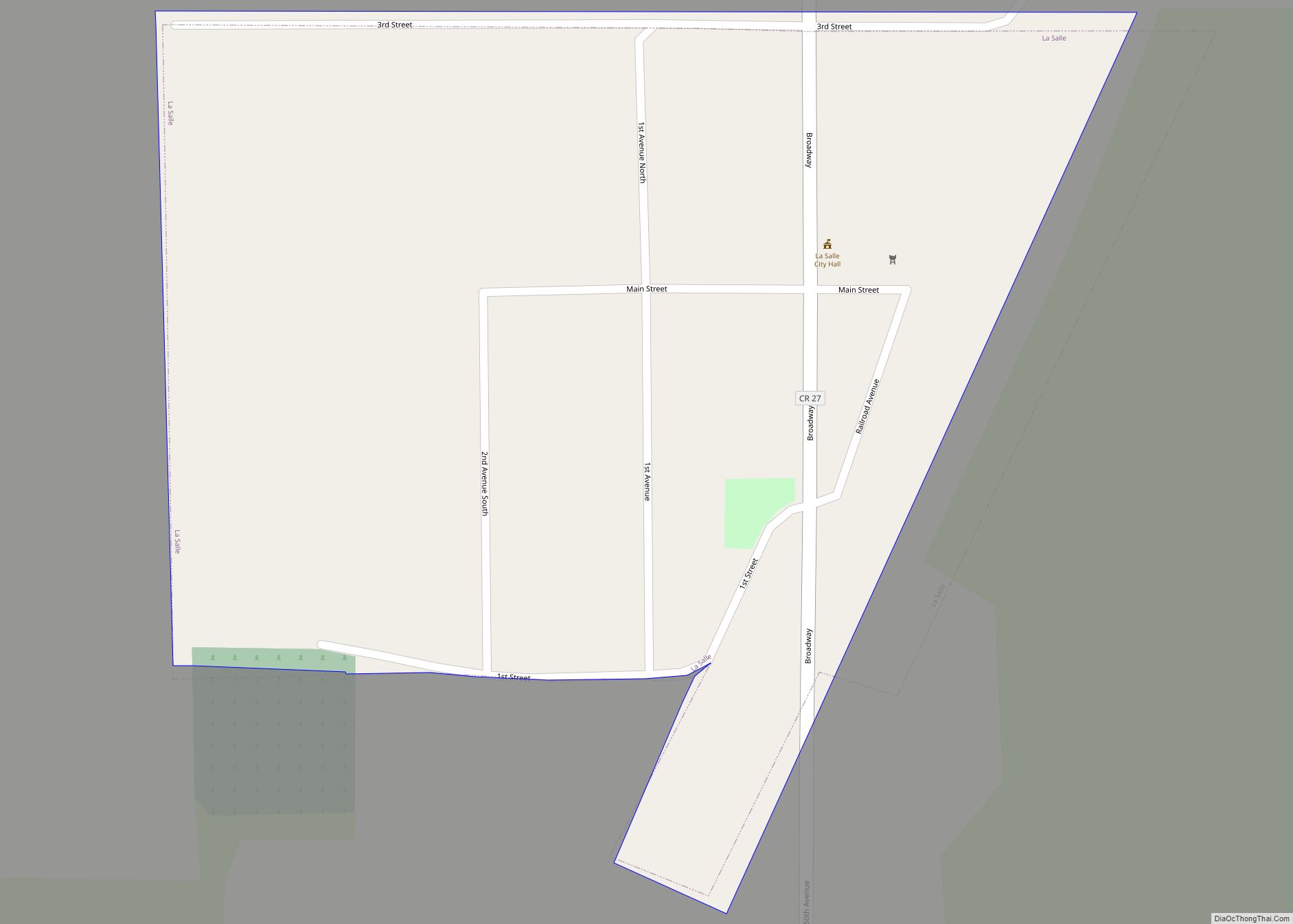
La Salle (/ləˈsæl/ lə-SAL) is a city in Watonwan County, Minnesota, United States. The population was 79 at the 2020 census. La Salle city overview: Name: La Salle city LSAD Code: 25 LSAD Description: city (suffix) State: Minnesota County: Watonwan County Elevation: 1,037 ft (316 m) Total Area: 0.09 sq mi (0.22 km²) Land Area: 0.09 sq mi (0.22 km²) Water Area: 0.00 sq mi ... Read more
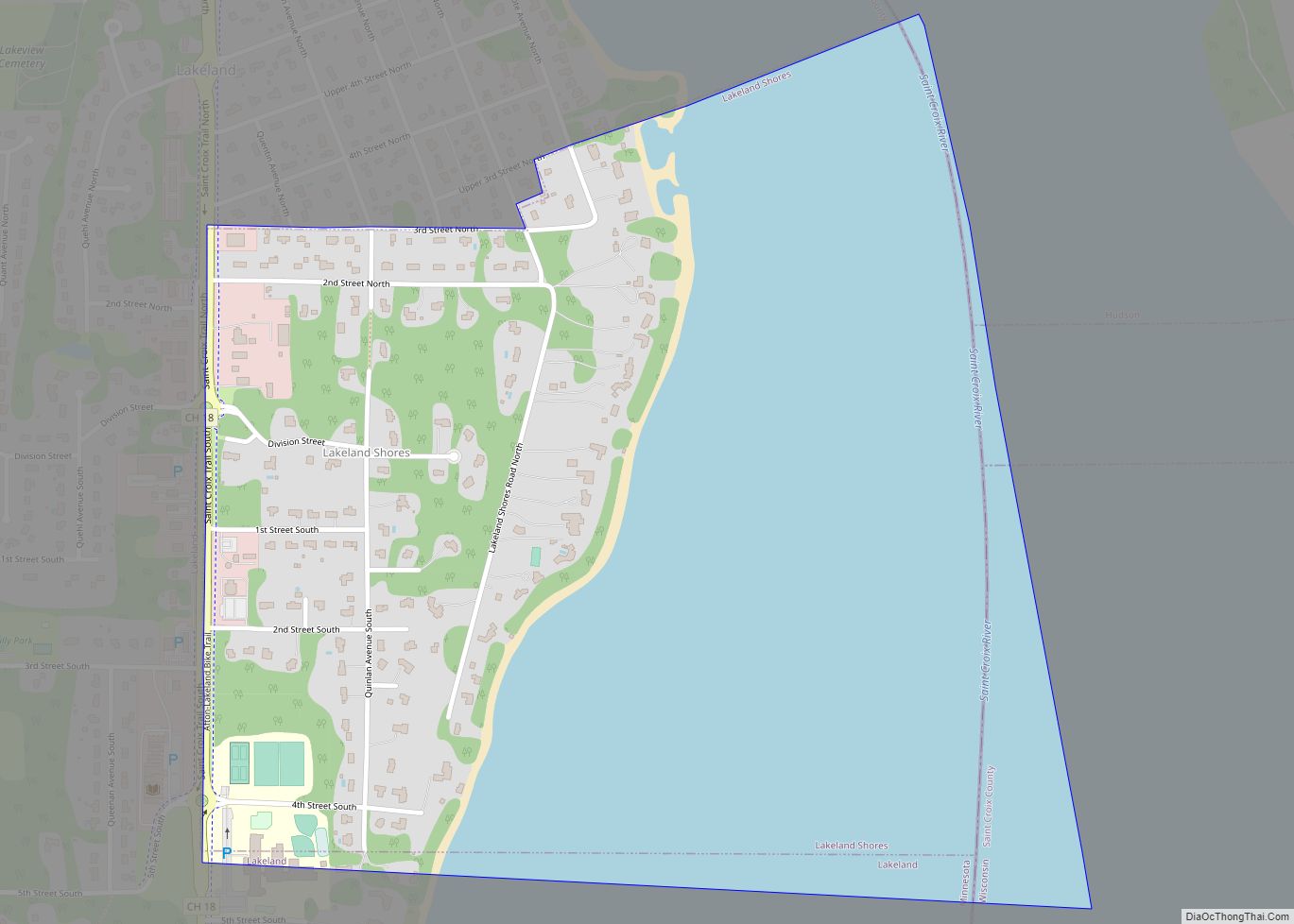
Lakeland Shores is a city in Washington County, Minnesota, United States. The population was 311 at the 2010 census. Lakeland Shores city overview: Name: Lakeland Shores city LSAD Code: 25 LSAD Description: city (suffix) State: Minnesota County: Washington County Elevation: 676 ft (206 m) Total Area: 0.74 sq mi (1.91 km²) Land Area: 0.32 sq mi (0.82 km²) Water Area: 0.42 sq mi (1.09 km²) Total ... Read more
