Lake City is a city in Goodhue and Wabasha counties in the U.S. state of Minnesota. It lies along Lake Pepin, a wide portion of the Mississippi River. The population was 5,063 at the 2010 census. Most of Lake City is located within Wabasha County with only a small portion in Goodhue County. Lake City is part of the Rochester, Minnesota Metropolitan Statistical Area.
| Name: | Lake City city |
|---|---|
| LSAD Code: | 25 |
| LSAD Description: | city (suffix) |
| State: | Minnesota |
| County: | Goodhue County, Wabasha County |
| Elevation: | 690 ft (210 m) |
| Total Area: | 4.50 sq mi (11.64 km²) |
| Land Area: | 4.48 sq mi (11.60 km²) |
| Water Area: | 0.02 sq mi (0.04 km²) |
| Total Population: | 5,252 |
| Population Density: | 1,172.58/sq mi (452.74/km²) |
| ZIP code: | 55041 |
| Area code: | 651 |
| FIPS code: | 2734172 |
| GNISfeature ID: | 0646338 |
Online Interactive Map
Click on ![]() to view map in "full screen" mode.
to view map in "full screen" mode.
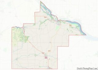
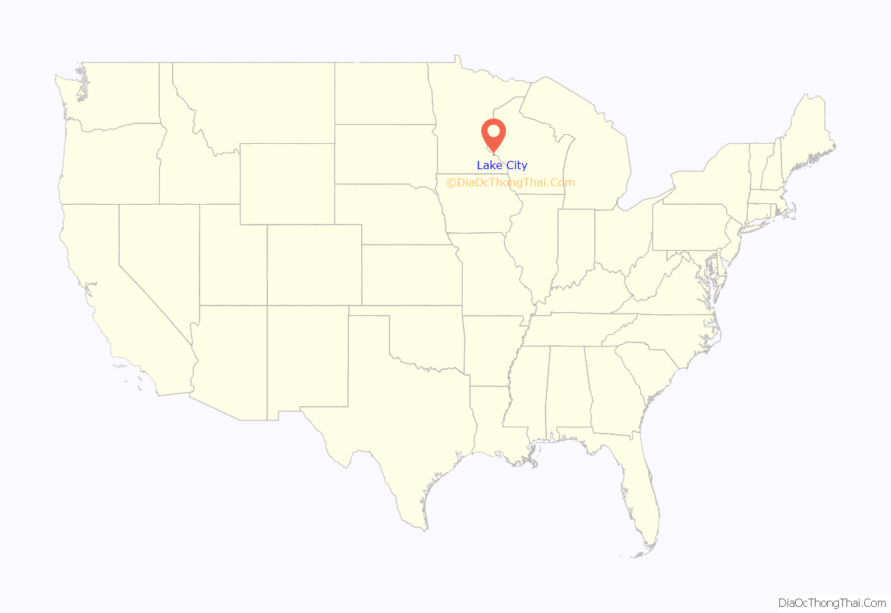
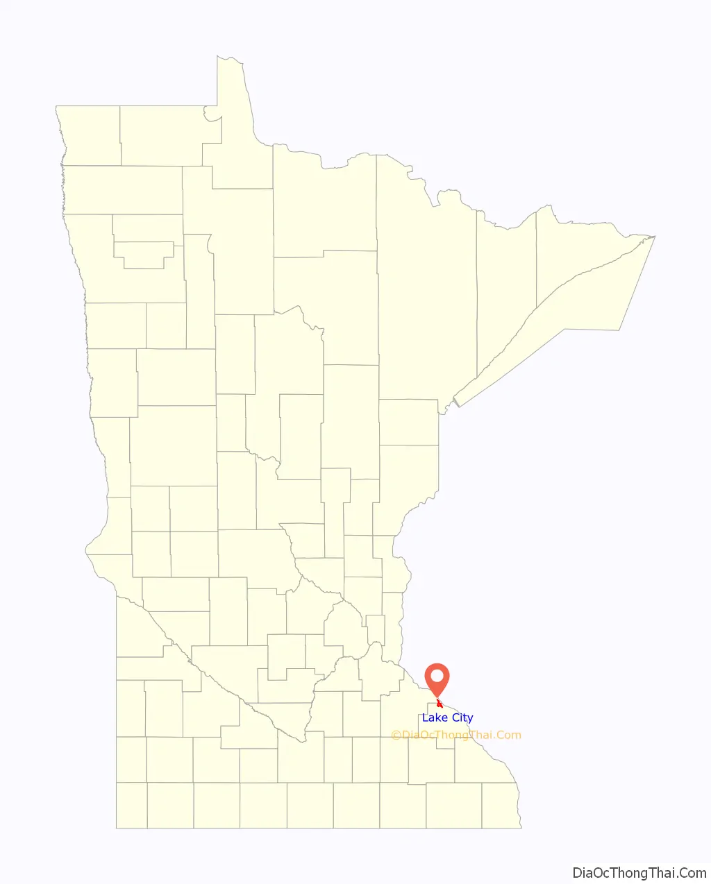
Lake City location map. Where is Lake City city?
History
Lake City is located 65 miles (105 km) southeast of the Twin Cities at the intersection of U.S. Highways 61 and 63 on the Mississippi River at Lake Pepin. Lac de Pleurs (Lake of Tears) was the name given to Lake Pepin by Father Louis Hennepin, who camped on the shore of the lake in 1680. He christened the large body of water Lac de Pleurs after observing his Sioux captors weeping near the lake over the death of a chief’s son. The war party of Isanti Sioux had captured Hennepin and his two companions several miles south along the Mississippi and were camping near the lake on their return north to their Sioux villages near present-day Mille Lacs.
The first known settler was Jacob Boody, who arrived in 1853. In the years to follow, several explorers passed through this area. The town was platted in 1855. The waters of Lake Pepin are deep enough to allow for a port, and in 1864 the Lake City town supervisors were given special powers by the State Legislature to create a port market for grain. Soon after, Lake City became noted as a profitable market for grain with the volume of trade in 1866 bringing in a little over a million and a half dollars.
Lake City became incorporated in 1872 and has become widely known for its attractive surroundings and bountiful fishing. The Sea Wing disaster occurred on July 13, 1890 when a strong squall line overturned the excursion vessel Sea Wing on Lake Pepin near Lake City. Over 200 people were aboard the vessel when it was overturned, and as a result 98 people drowned.
Water skiing was invented in Lake City by area resident, Ralph Samuelson, which he first performed in Lake Pepin during the summer of 1922. To commemorate this event, Lake City has adopted the nickname “The Birthplace of Water Skiing” and holds an annual town festival, called Water Ski Days. Water Ski Days typically includes three days of water skiing exhibitions, live music and a beer garden, a street carnival, sports tournaments, and Grand Parade; it is held annually during the last full-weekend in June. In 2020 Water Ski Days was slated to be held June 26-28 but was cancelled due to COVID-19. The festival that will be held in 2021 would have been the 50th, but will be the 49th because of the cancellation.
Lake City has three properties listed on the National Register of Historic Places: the 1872 James C. and Agnes M. Stout House, the 1899 Lake City City Hall, and the 1910 Williamson–Russell–Rahilly House.
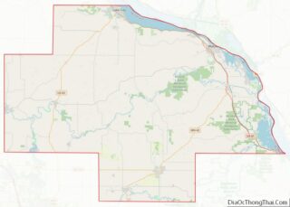
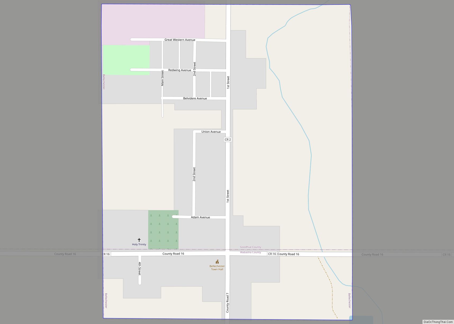
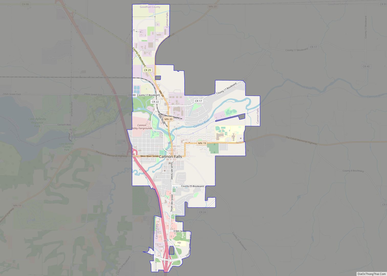
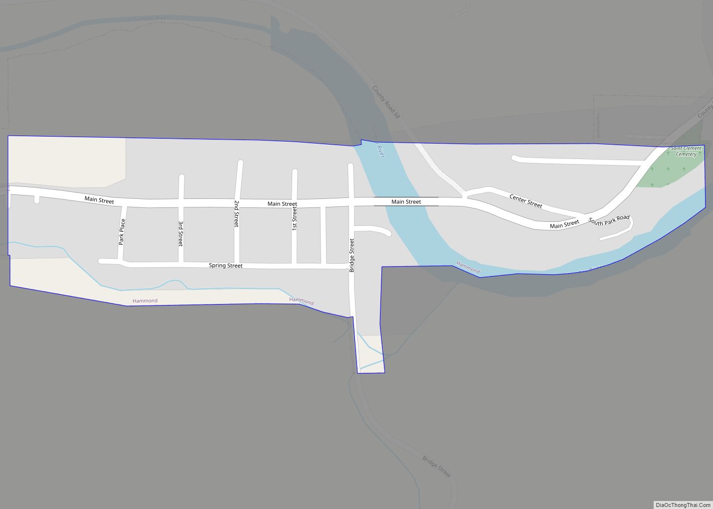
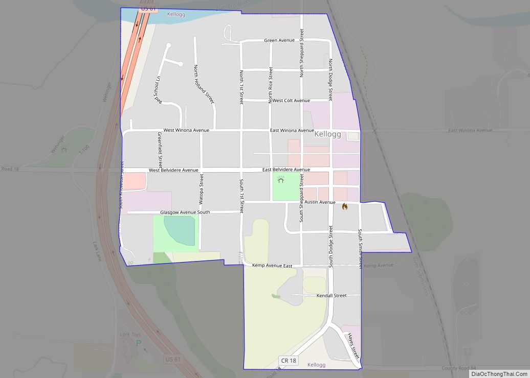
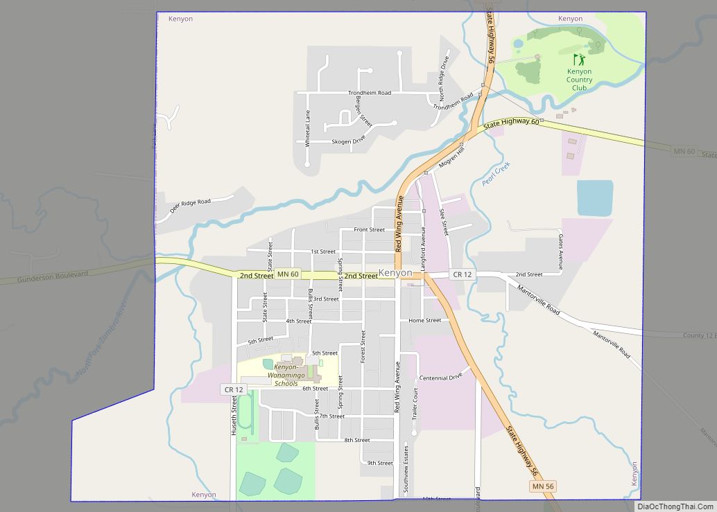
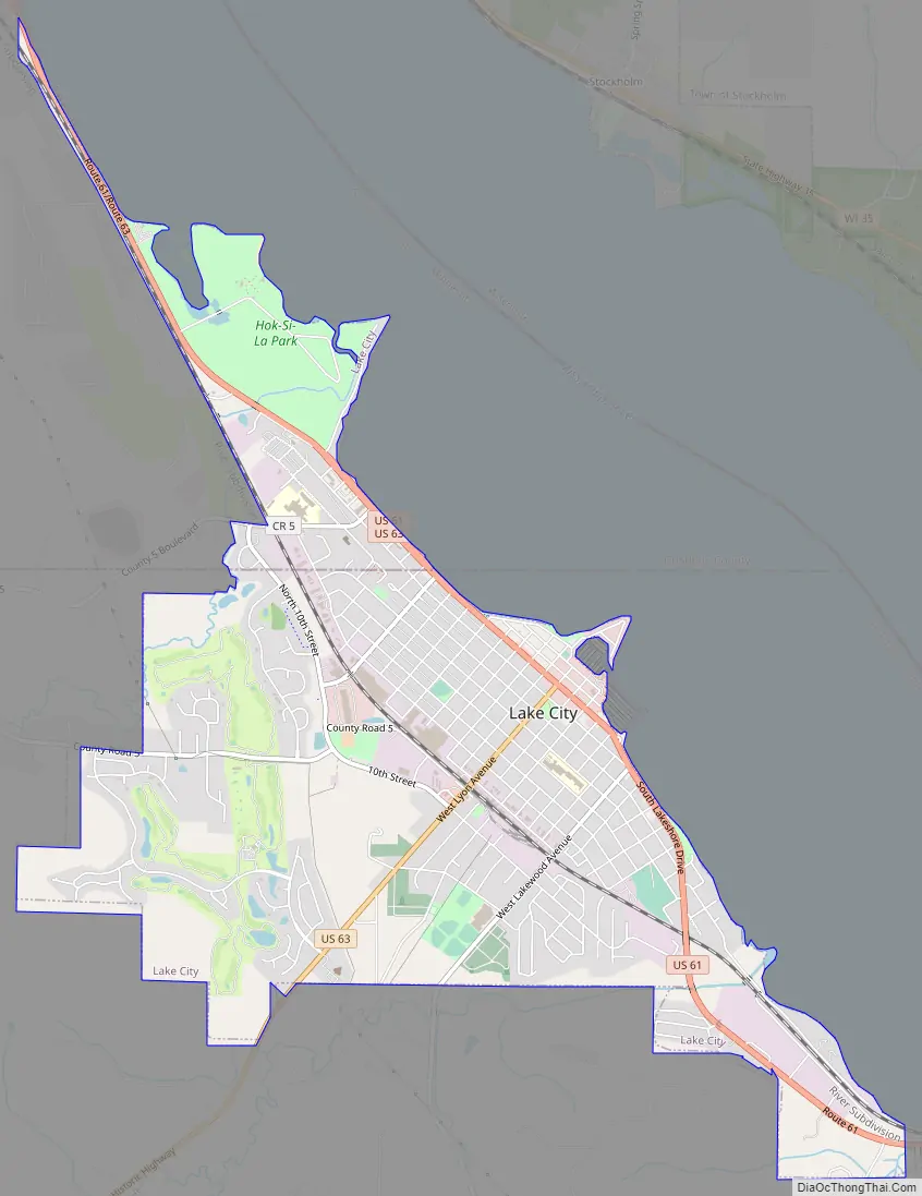
Lake City Road Map
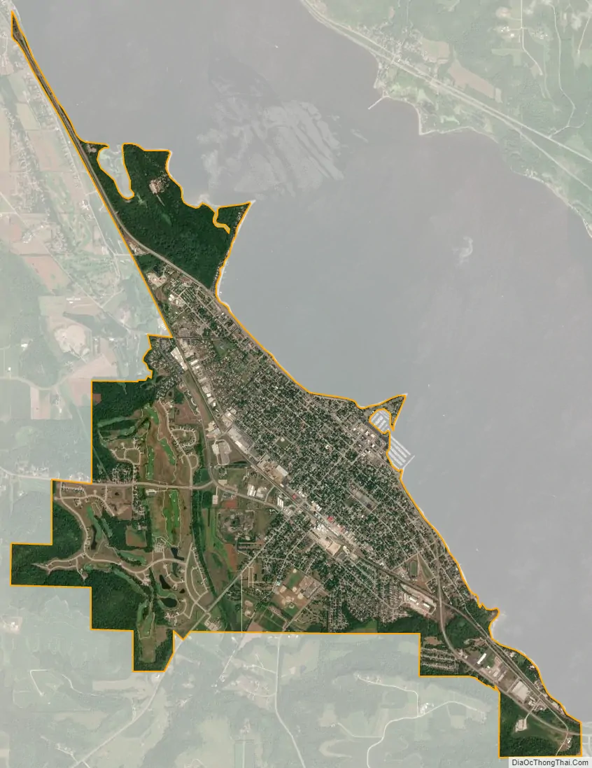
Lake City city Satellite Map
Geography
According to the United States Census Bureau, the city has a total area of 4.56 square miles (11.81 km); 4.50 square miles (11.65 km) is land and 0.06 square miles (0.16 km) is water. U.S. Highways 61 and 63 are two of the main routes in the community.
See also
Map of Minnesota State and its subdivision:- Aitkin
- Anoka
- Becker
- Beltrami
- Benton
- Big Stone
- Blue Earth
- Brown
- Carlton
- Carver
- Cass
- Chippewa
- Chisago
- Clay
- Clearwater
- Cook
- Cottonwood
- Crow Wing
- Dakota
- Dodge
- Douglas
- Faribault
- Fillmore
- Freeborn
- Goodhue
- Grant
- Hennepin
- Houston
- Hubbard
- Isanti
- Itasca
- Jackson
- Kanabec
- Kandiyohi
- Kittson
- Koochiching
- Lac qui Parle
- Lake
- Lake of the Woods
- Lake Superior
- Le Sueur
- Lincoln
- Lyon
- Mahnomen
- Marshall
- Martin
- McLeod
- Meeker
- Mille Lacs
- Morrison
- Mower
- Murray
- Nicollet
- Nobles
- Norman
- Olmsted
- Otter Tail
- Pennington
- Pine
- Pipestone
- Polk
- Pope
- Ramsey
- Red Lake
- Redwood
- Renville
- Rice
- Rock
- Roseau
- Saint Louis
- Scott
- Sherburne
- Sibley
- Stearns
- Steele
- Stevens
- Swift
- Todd
- Traverse
- Wabasha
- Wadena
- Waseca
- Washington
- Watonwan
- Wilkin
- Winona
- Wright
- Yellow Medicine
- Alabama
- Alaska
- Arizona
- Arkansas
- California
- Colorado
- Connecticut
- Delaware
- District of Columbia
- Florida
- Georgia
- Hawaii
- Idaho
- Illinois
- Indiana
- Iowa
- Kansas
- Kentucky
- Louisiana
- Maine
- Maryland
- Massachusetts
- Michigan
- Minnesota
- Mississippi
- Missouri
- Montana
- Nebraska
- Nevada
- New Hampshire
- New Jersey
- New Mexico
- New York
- North Carolina
- North Dakota
- Ohio
- Oklahoma
- Oregon
- Pennsylvania
- Rhode Island
- South Carolina
- South Dakota
- Tennessee
- Texas
- Utah
- Vermont
- Virginia
- Washington
- West Virginia
- Wisconsin
- Wyoming