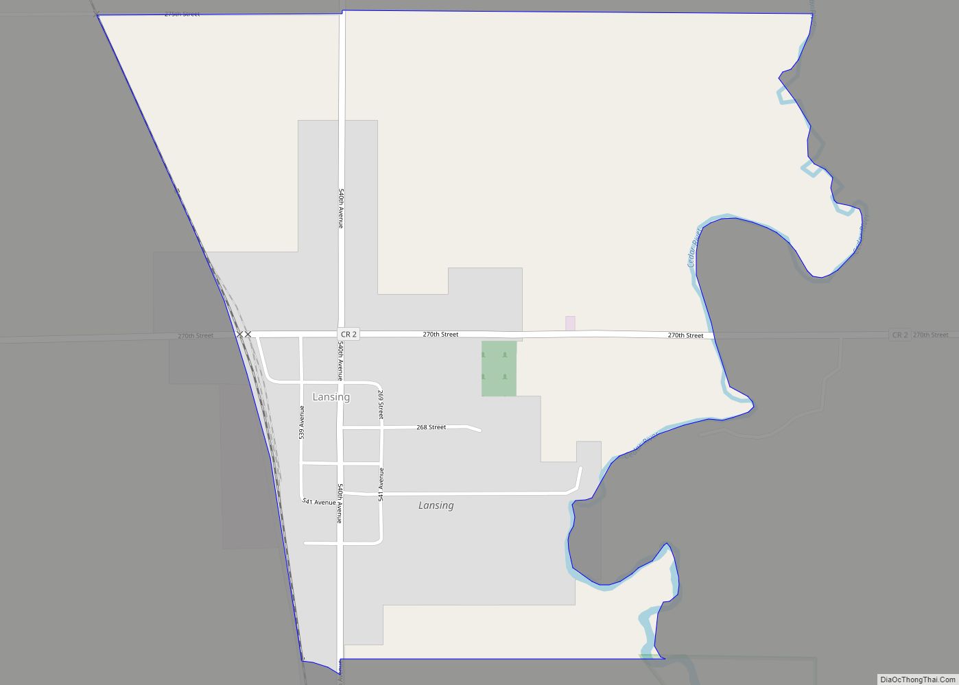
Lansing is a census-designated place and unincorporated community in Lansing Township, Mower County, Minnesota, United States. Its population was 181 as of the 2010 census. Lansing was platted in 1858, and named after Lansing, Michigan. A post office has been in operation at Lansing since 1857. Lansing CDP overview: Name: Lansing CDP LSAD Code: 57 ... Read more
Minnesota Cities and Places
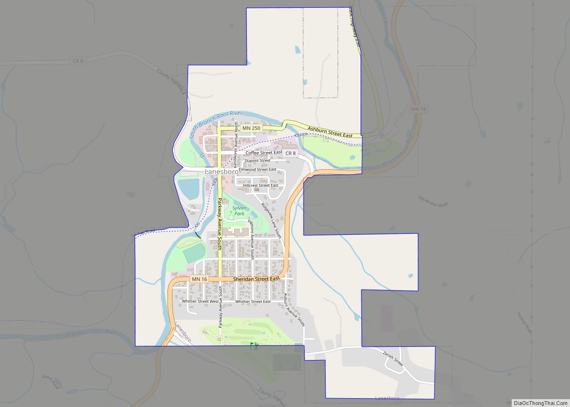
Lanesboro is a city in Fillmore County, Minnesota, United States. The population was 754 at the 2010 census. It was named after F. A. Lane, an early landowner. The South Fork of the Root River flows through it, with a waterfall dam across from Sylvan Park. The Root River State Trail and other bike paths ... Read more
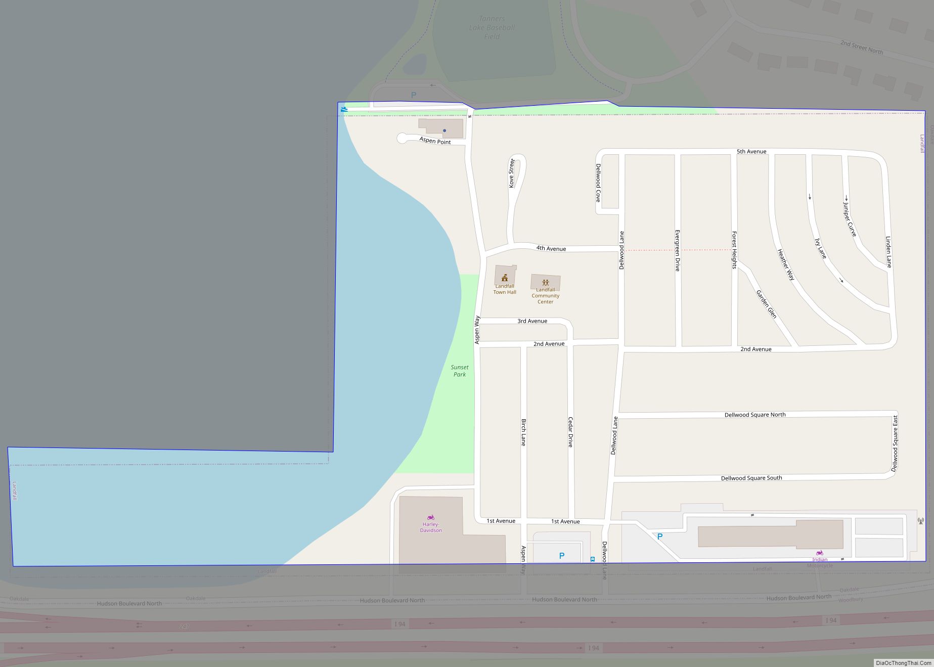
Landfall is a city in Washington County, Minnesota, United States. The population was 686 at the 2010 census and is the smallest community in Washington County in terms of area. It lies on the eastern shore of Tanner’s Lake on Interstate 94. Landfall is an incorporation of a manufactured home community, contributing to its reputation ... Read more
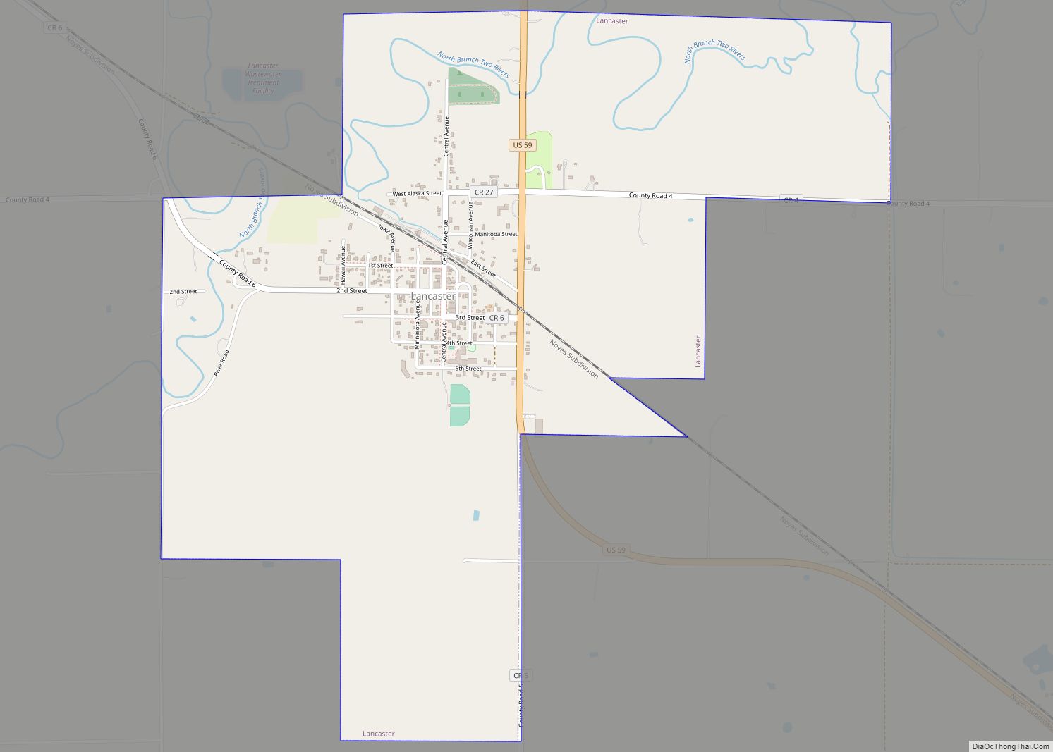
Lancaster is a city in Kittson County, Minnesota, United States. As of the 2020 census, the city population was 364. Lancaster city overview: Name: Lancaster city LSAD Code: 25 LSAD Description: city (suffix) State: Minnesota County: Kittson County Elevation: 909 ft (277 m) Total Area: 2.33 sq mi (6.05 km²) Land Area: 2.33 sq mi (6.05 km²) Water Area: 0.00 sq mi (0.00 km²) Total Population: ... Read more
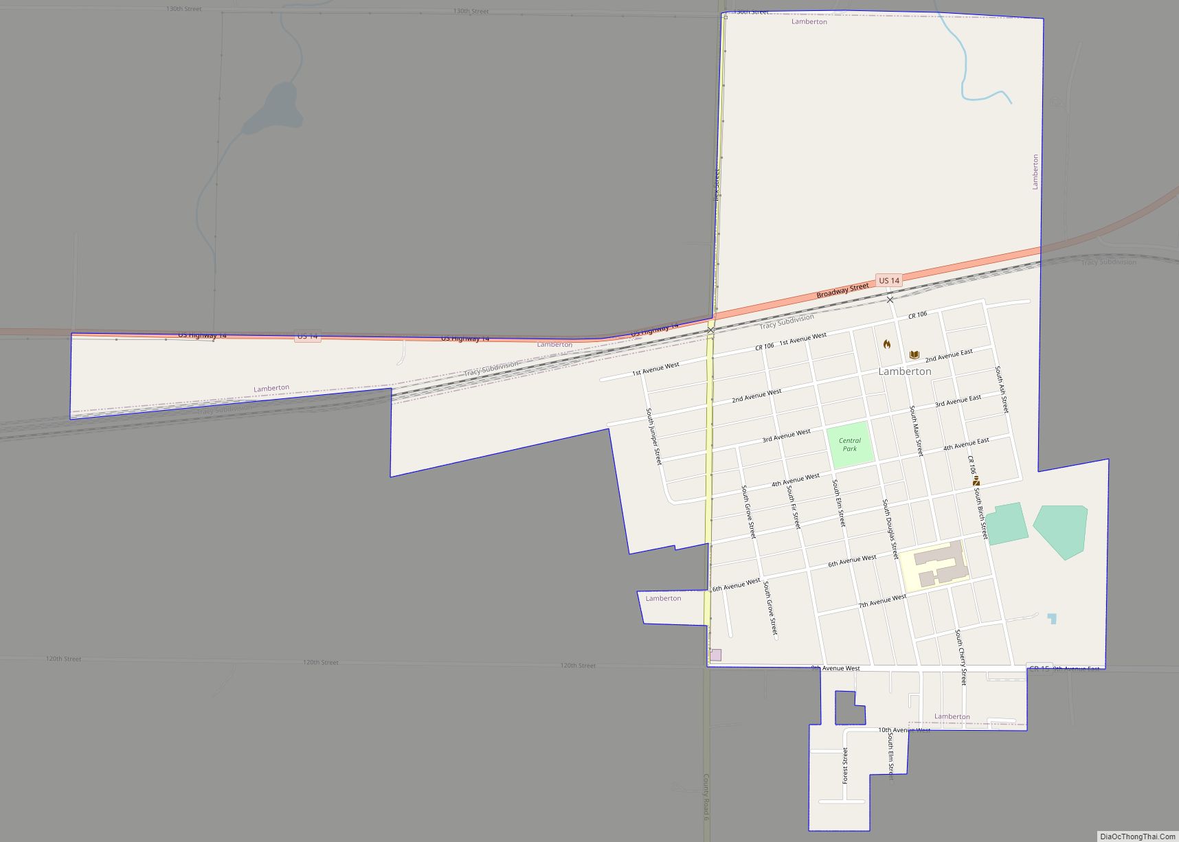
Lamberton is a town in Redwood County, Minnesota, United States. The population was 824 at the 2010 census. Lamberton city overview: Name: Lamberton city LSAD Code: 25 LSAD Description: city (suffix) State: Minnesota County: Redwood County Elevation: 1,142 ft (348 m) Total Area: 0.76 sq mi (1.98 km²) Land Area: 0.76 sq mi (1.98 km²) Water Area: 0.00 sq mi (0.00 km²) Total Population: 792 Population ... Read more
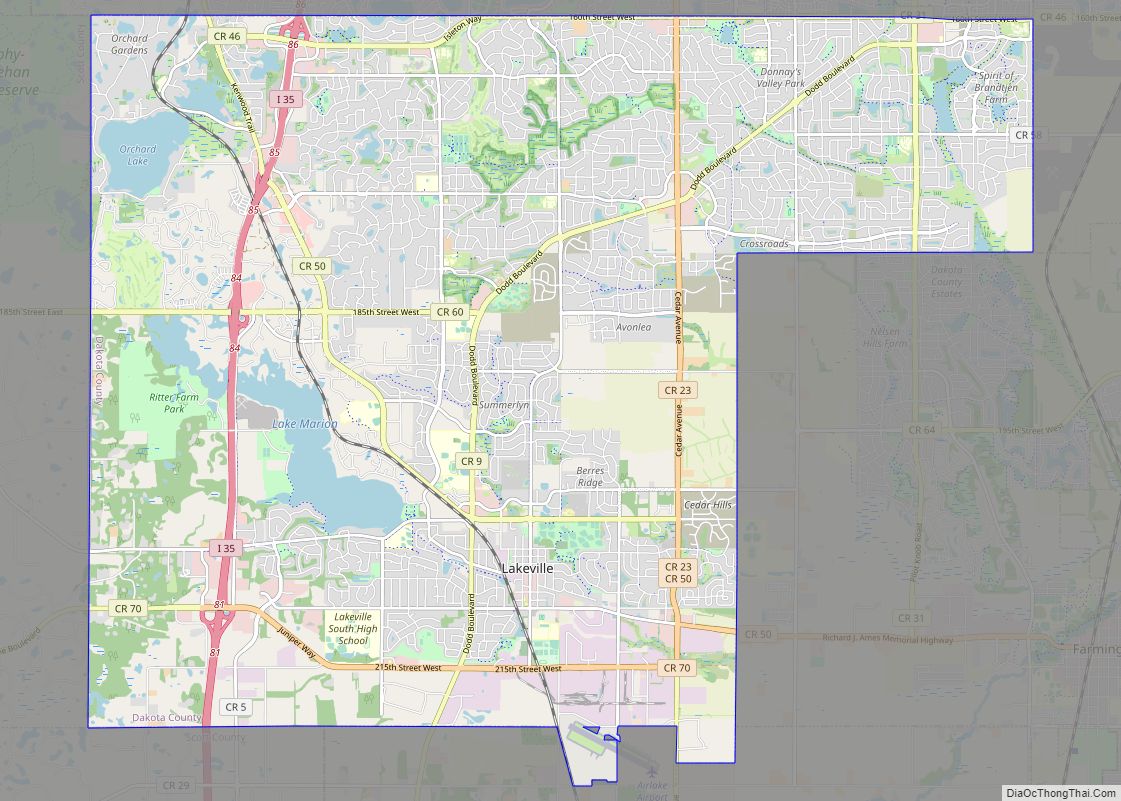
Lakeville /ˈleɪkvɪl/ is an exurb of Minneapolis-Saint Paul, and the largest city in Dakota County, Minnesota, United States. It is approximately 20 miles (32 km) south of both downtown Minneapolis and downtown St. Paul along Interstate Highway 35. Starting as a flourishing milling center, its agriculture industry and other major industries are still in operation. Lakeville ... Read more
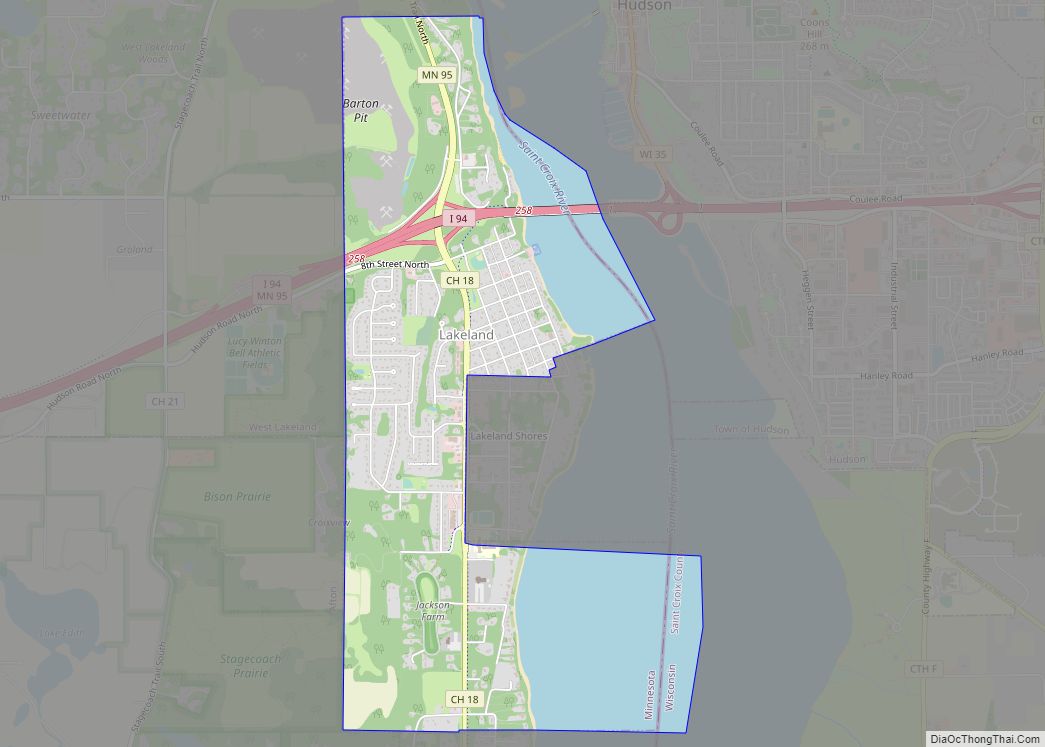
Lakeland is a city in Washington County, Minnesota, United States. The population was 1,796 at the 2010 census. Lakeland city overview: Name: Lakeland city LSAD Code: 25 LSAD Description: city (suffix) State: Minnesota County: Washington County Elevation: 676 ft (206 m) Total Area: 2.92 sq mi (7.57 km²) Land Area: 2.08 sq mi (5.37 km²) Water Area: 0.85 sq mi (2.19 km²) Total Population: 1,710 Population ... Read more
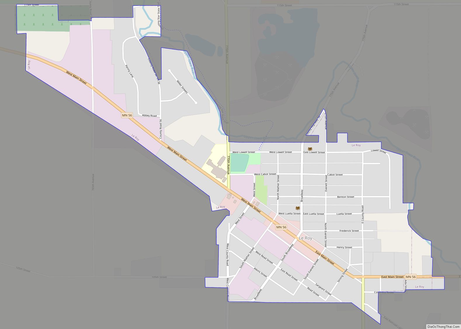
Le Roy (/ˈliˌrɔɪ/ LEE-ROY) is a city in Mower County, Minnesota, United States, surrounded by Le Roy Township. The population was 929 at the 2010 census. Lake Louise State Park is just outside the town. Le Roy city overview: Name: Le Roy city LSAD Code: 25 LSAD Description: city (suffix) State: Minnesota County: Mower County ... Read more
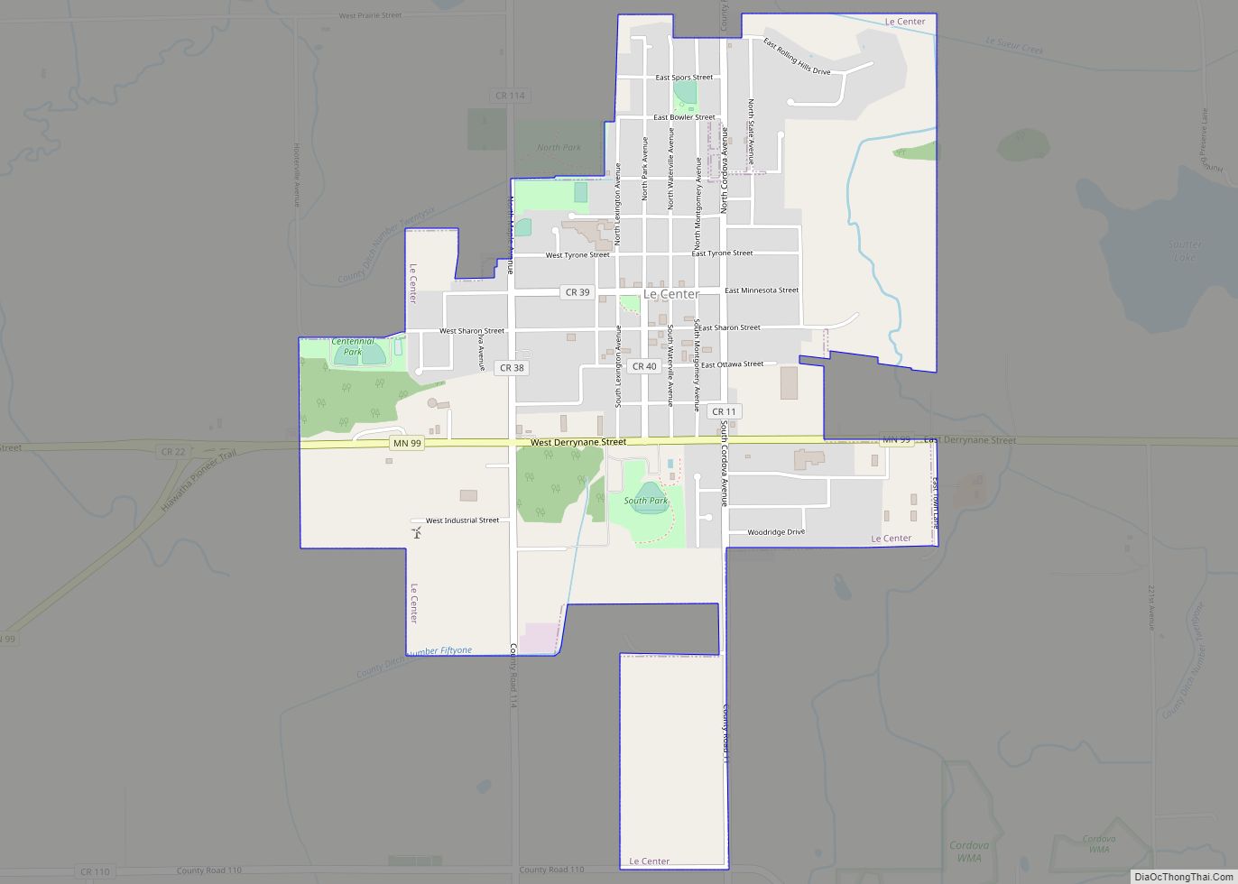
Le Center is a city in Le Sueur County, Minnesota, United States. The population was 2,517 at the 2020 census. It is the county seat of Le Sueur County. The Le Sueur County Courthouse and Jail are listed on the National Register of Historic Places. Le Center city overview: Name: Le Center city LSAD Code: ... Read more
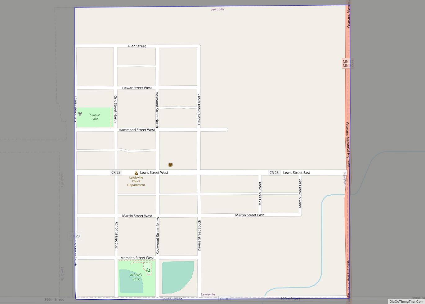
Lewisville is a city in Watonwan County, Minnesota, United States. The population was 250 at the 2010 census. Lewisville city overview: Name: Lewisville city LSAD Code: 25 LSAD Description: city (suffix) State: Minnesota County: Watonwan County Elevation: 1,066 ft (325 m) Total Area: 0.24 sq mi (0.64 km²) Land Area: 0.24 sq mi (0.64 km²) Water Area: 0.00 sq mi (0.00 km²) Total Population: 204 Population ... Read more
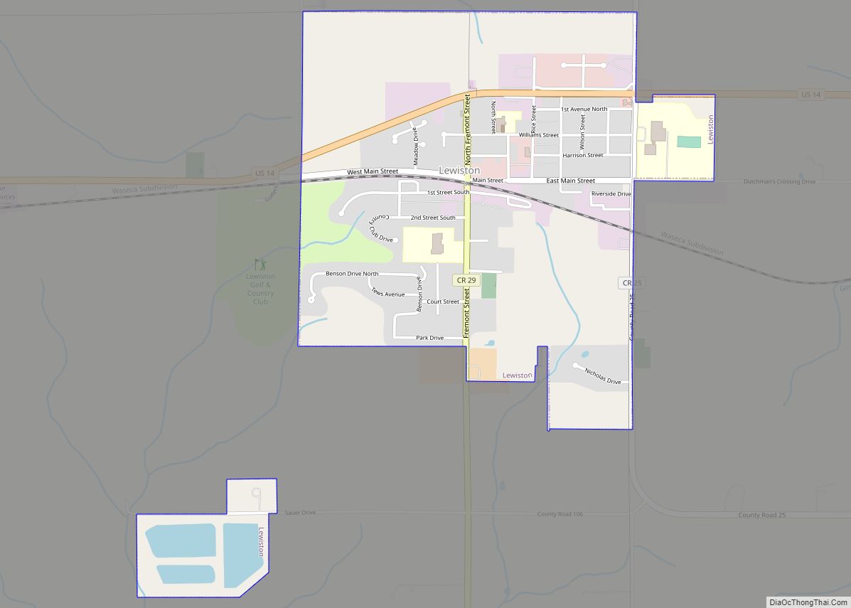
Lewiston is a city in Winona County, Minnesota, United States. The population was 1,620 at the 2010 census. Lewiston city overview: Name: Lewiston city LSAD Code: 25 LSAD Description: city (suffix) State: Minnesota County: Winona County Elevation: 1,214 ft (370 m) Total Area: 1.26 sq mi (3.28 km²) Land Area: 1.26 sq mi (3.28 km²) Water Area: 0.00 sq mi (0.00 km²) Total Population: 1,533 Population ... Read more
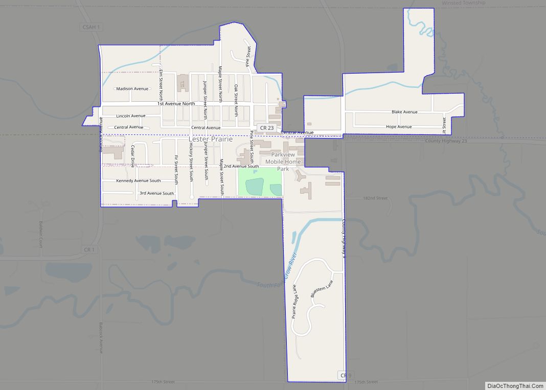
Lester Prairie is a city in McLeod County, Minnesota, United States, along the South Fork of the Crow River. The population was 1,730 at the 2010 census. Noted composer and conductor of The Concordia Choir, Rene Clausen was raised in Lester Prairie. Lester Prairie city overview: Name: Lester Prairie city LSAD Code: 25 LSAD Description: ... Read more
