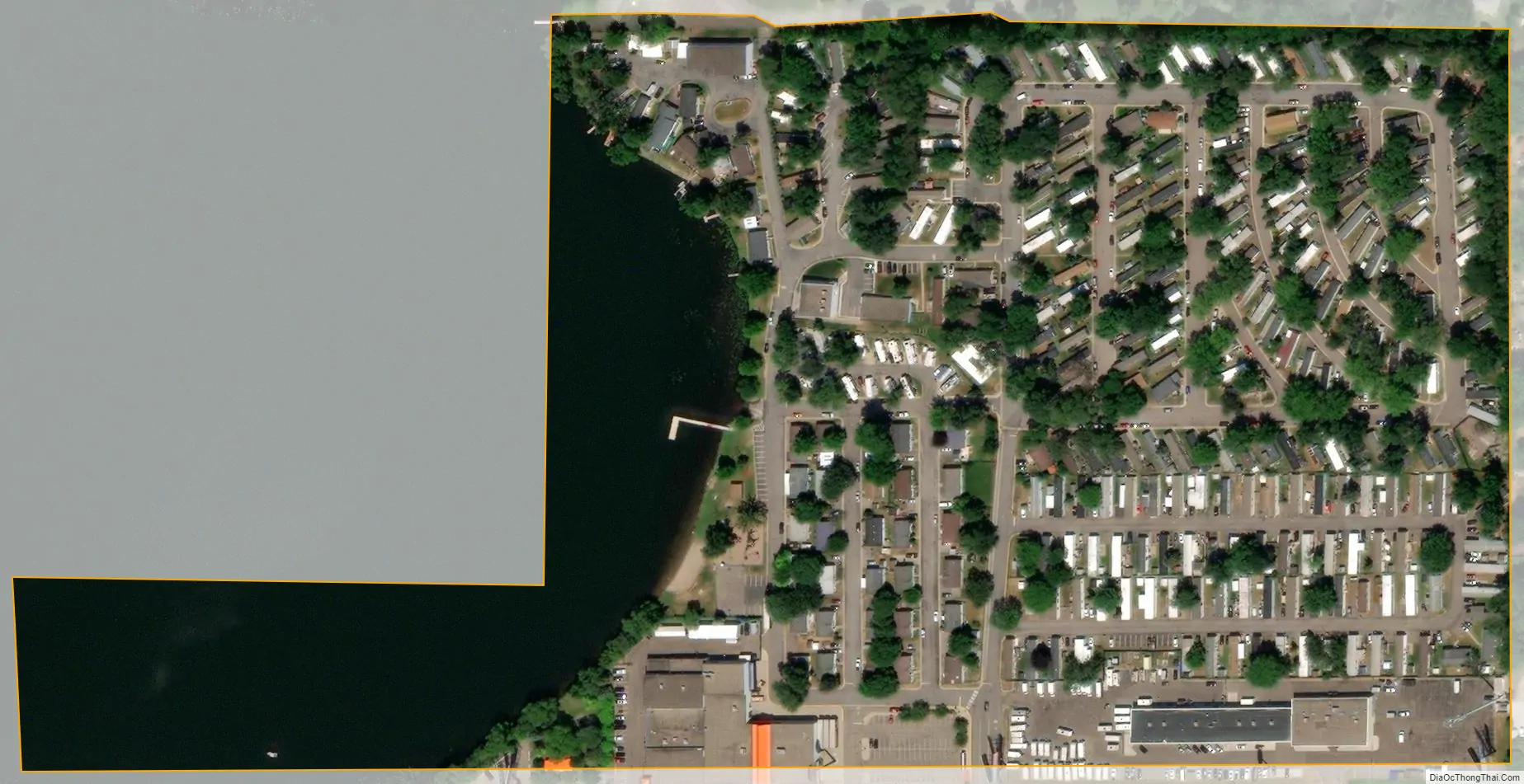
Landfall is a city in Washington County, Minnesota, United States. The population was 686 at the 2010 census and is the smallest community in Washington County in terms of area. It lies on the eastern shore of Tanner’s Lake on Interstate 94.
Landfall is an incorporation of a manufactured home community, contributing to its reputation as the most affordable community in the Twin Cities. In 2008 and 2010, the city was named one of the 100 best communities for young people by America’s Promise.
Landfall is one of only two incorporated cities in Minnesota that consist primarily of manufactured housing; the other is the Twin Cities suburb of Hilltop.
| Name: | Landfall city |
|---|---|
| LSAD Code: | 25 |
| LSAD Description: | city (suffix) |
| State: | Minnesota |
| County: | Washington County |
| Elevation: | 968 ft (295 m) |
| Total Area: | 0.08 sq mi (0.21 km²) |
| Land Area: | 0.07 sq mi (0.17 km²) |
| Water Area: | 0.02 sq mi (0.04 km²) |
| Total Population: | 843 |
| Population Density: | 12,772.73/sq mi (4,959.73/km²) |
| FIPS code: | 2735414 |
| GNISfeature ID: | 2395626 |
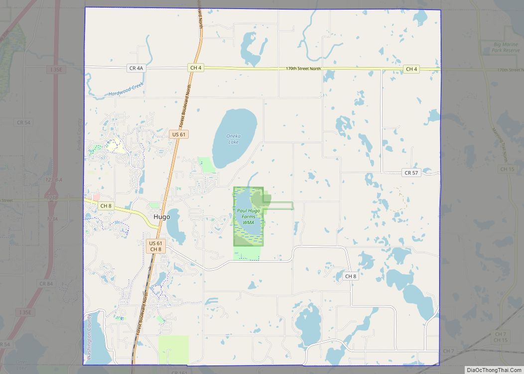
Online Interactive Map
Click on ![]() to view map in "full screen" mode.
to view map in "full screen" mode.
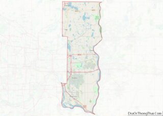
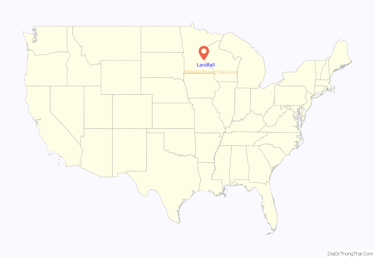
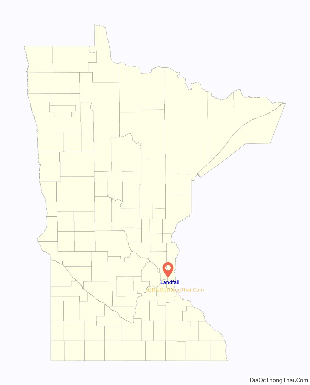
Landfall location map. Where is Landfall city?
History
From 1953 to 1997 all of the land in Landfall was owned by one family. Mobile homes were built on the land after there was a shortage of affordable housing. The city was incorporated in 1959. In the early 1990s a developer attempted to purchase the city for a shopping mall. The Washington County Housing and Redevelopment Authority purchased the land and sold it to the city in 1997. Since then the city has rented mobile home lots to residents. All homes in the city are owner occupied. Rental of mobile homes is prohibited.
Landfall Road Map

Landfall city Satellite Map
Geography
According to the United States Census Bureau, the city has a total area of 0.09 square miles (0.23 km); 0.07 square miles (0.18 km) is land and 0.02 square miles (0.05 km) is water. Interstate Highway 94 serves as a main route in the community. Interstate Highways 494 and 694 are in close proximity to the community. The boundary line between Ramsey and Washington counties is nearby.
See also
Map of Minnesota State and its subdivision:- Aitkin
- Anoka
- Becker
- Beltrami
- Benton
- Big Stone
- Blue Earth
- Brown
- Carlton
- Carver
- Cass
- Chippewa
- Chisago
- Clay
- Clearwater
- Cook
- Cottonwood
- Crow Wing
- Dakota
- Dodge
- Douglas
- Faribault
- Fillmore
- Freeborn
- Goodhue
- Grant
- Hennepin
- Houston
- Hubbard
- Isanti
- Itasca
- Jackson
- Kanabec
- Kandiyohi
- Kittson
- Koochiching
- Lac qui Parle
- Lake
- Lake of the Woods
- Lake Superior
- Le Sueur
- Lincoln
- Lyon
- Mahnomen
- Marshall
- Martin
- McLeod
- Meeker
- Mille Lacs
- Morrison
- Mower
- Murray
- Nicollet
- Nobles
- Norman
- Olmsted
- Otter Tail
- Pennington
- Pine
- Pipestone
- Polk
- Pope
- Ramsey
- Red Lake
- Redwood
- Renville
- Rice
- Rock
- Roseau
- Saint Louis
- Scott
- Sherburne
- Sibley
- Stearns
- Steele
- Stevens
- Swift
- Todd
- Traverse
- Wabasha
- Wadena
- Waseca
- Washington
- Watonwan
- Wilkin
- Winona
- Wright
- Yellow Medicine
- Alabama
- Alaska
- Arizona
- Arkansas
- California
- Colorado
- Connecticut
- Delaware
- District of Columbia
- Florida
- Georgia
- Hawaii
- Idaho
- Illinois
- Indiana
- Iowa
- Kansas
- Kentucky
- Louisiana
- Maine
- Maryland
- Massachusetts
- Michigan
- Minnesota
- Mississippi
- Missouri
- Montana
- Nebraska
- Nevada
- New Hampshire
- New Jersey
- New Mexico
- New York
- North Carolina
- North Dakota
- Ohio
- Oklahoma
- Oregon
- Pennsylvania
- Rhode Island
- South Carolina
- South Dakota
- Tennessee
- Texas
- Utah
- Vermont
- Virginia
- Washington
- West Virginia
- Wisconsin
- Wyoming