Lancaster is a city in Kittson County, Minnesota, United States. As of the 2020 census, the city population was 364.
| Name: | Lancaster city |
|---|---|
| LSAD Code: | 25 |
| LSAD Description: | city (suffix) |
| State: | Minnesota |
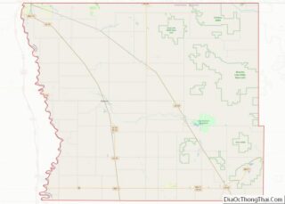
| County: | Kittson County |
| Elevation: | 909 ft (277 m) |
| Total Area: | 2.33 sq mi (6.05 km²) |
| Land Area: | 2.33 sq mi (6.05 km²) |
| Water Area: | 0.00 sq mi (0.00 km²) |
| Total Population: | 364 |
| Population Density: | 155.96/sq mi (60.21/km²) |
| ZIP code: | 56735 |
| Area code: | 218 |
| FIPS code: | 2735378 |
| GNISfeature ID: | 0646463 |
| Website: | lancastermn.org |
Online Interactive Map
Click on ![]() to view map in "full screen" mode.
to view map in "full screen" mode.
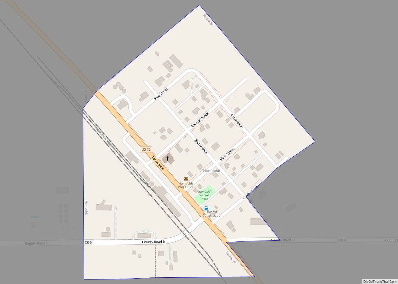
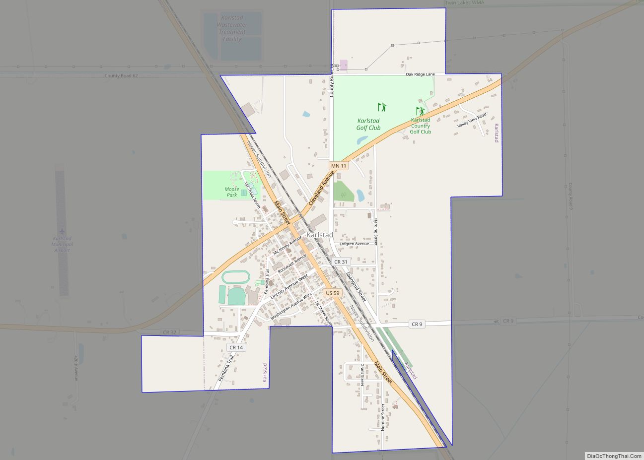
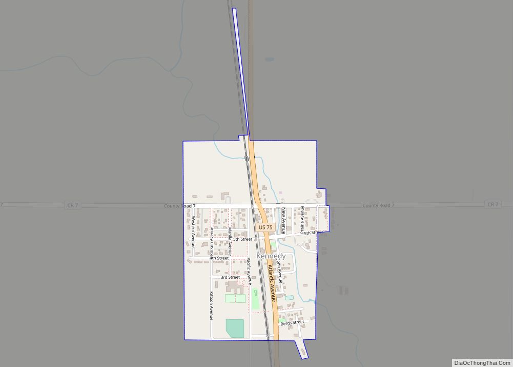
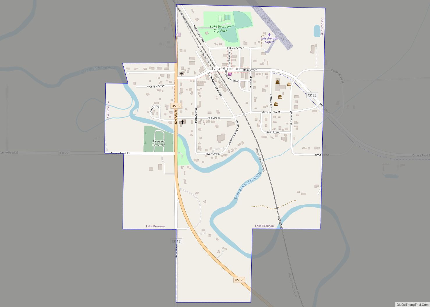
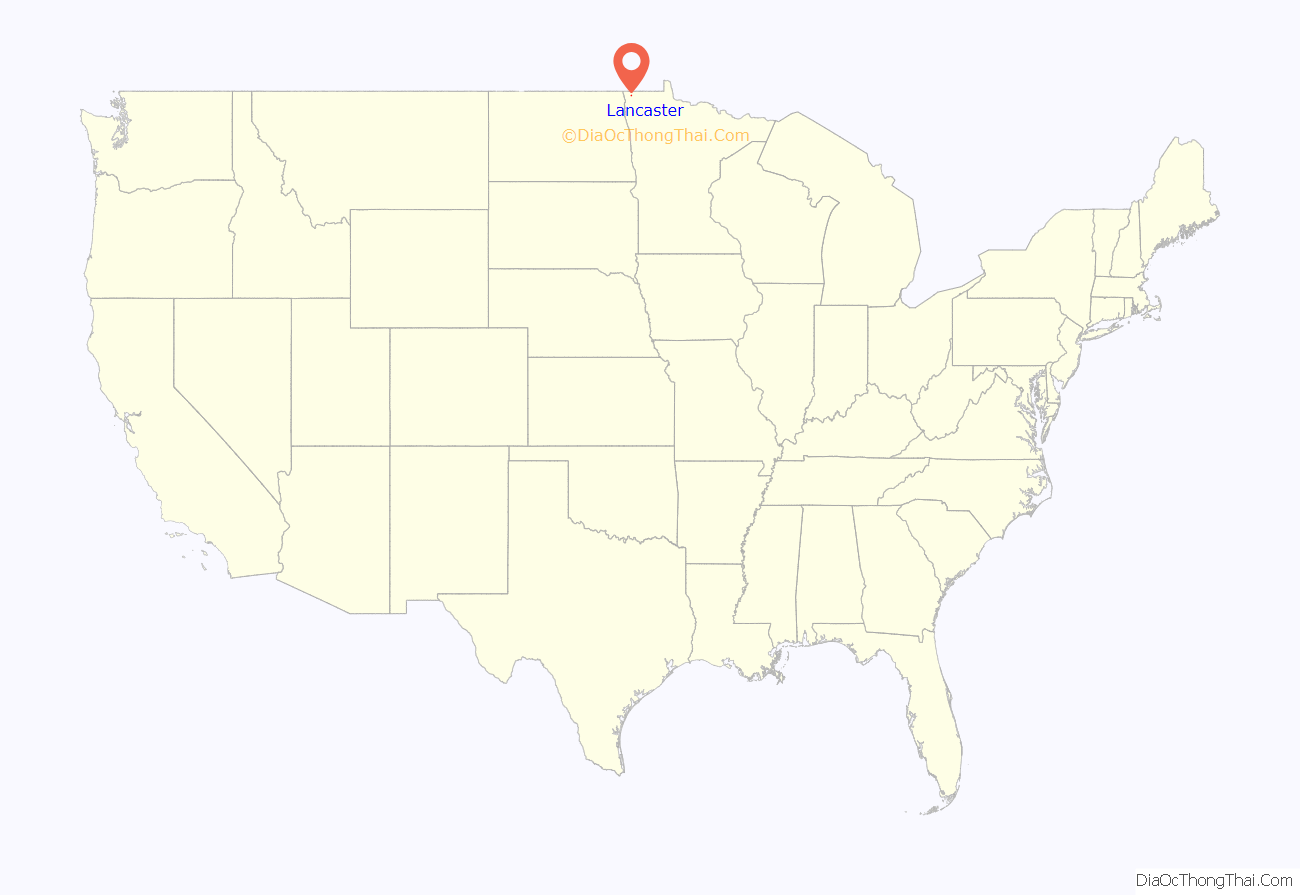
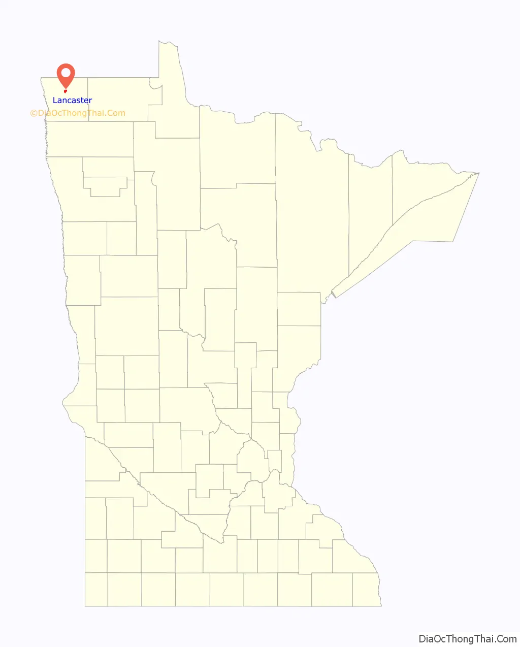
Lancaster location map. Where is Lancaster city?
History
Lancaster was incorporated in 1904 along a Soo Line Railroad line running from Glenwood to the Canada–US border. The city was named after a railroad official believed to have come from Lancashire County in England.
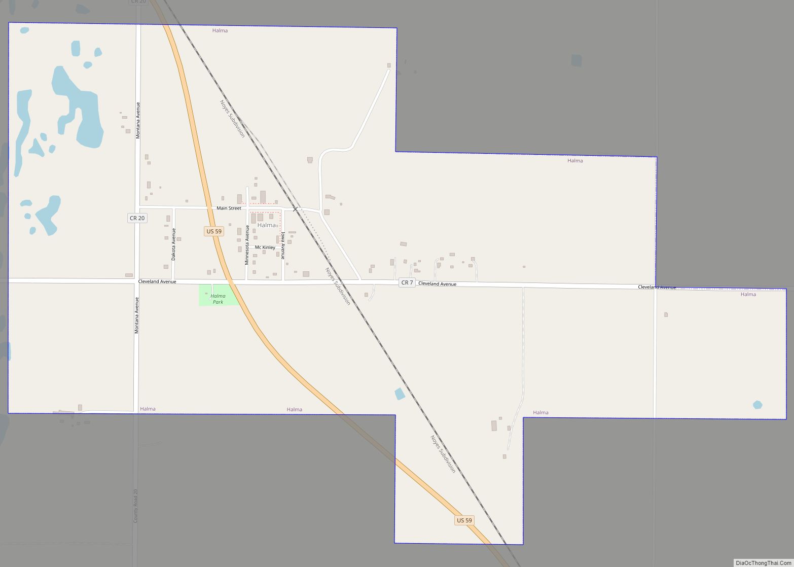
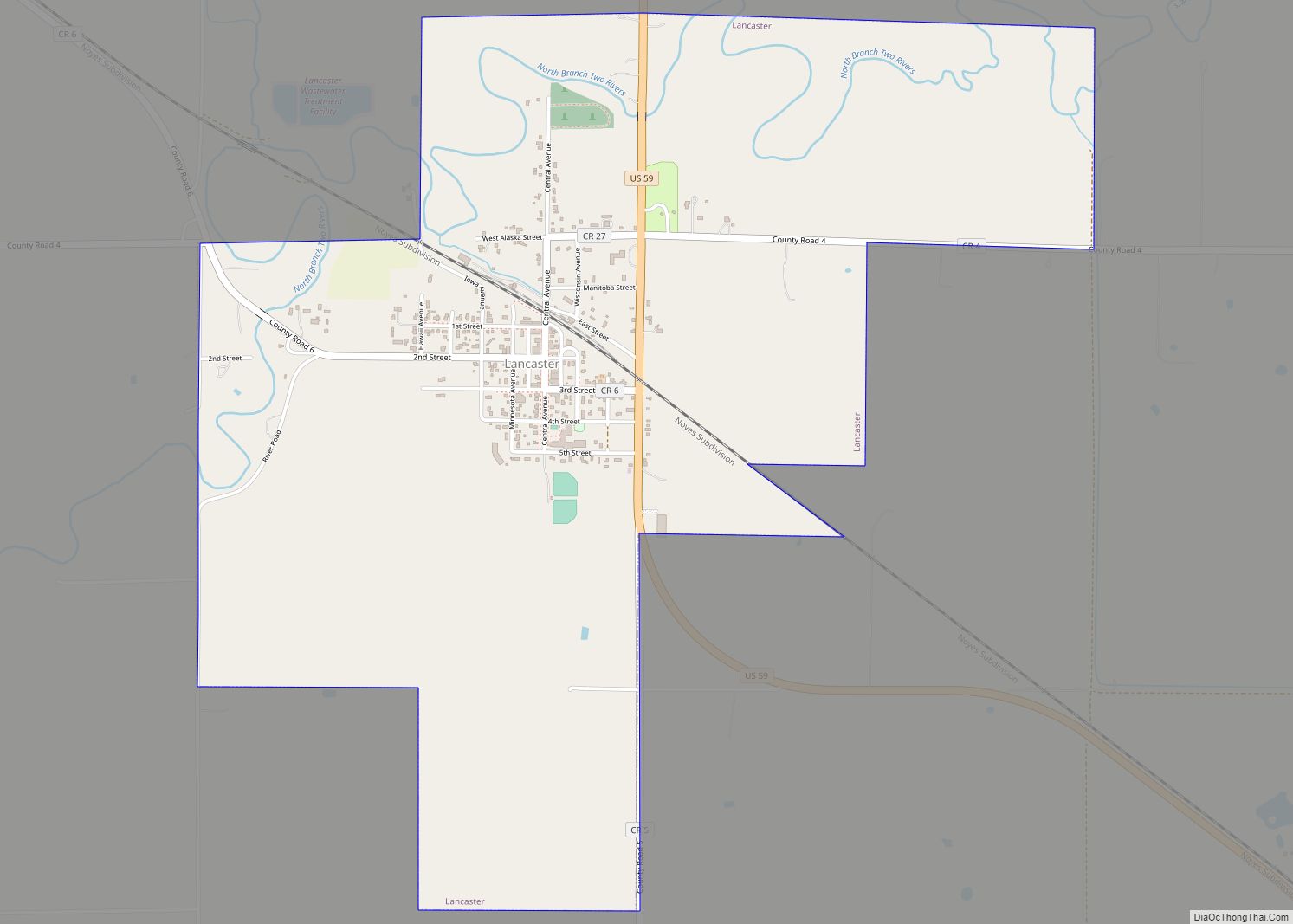
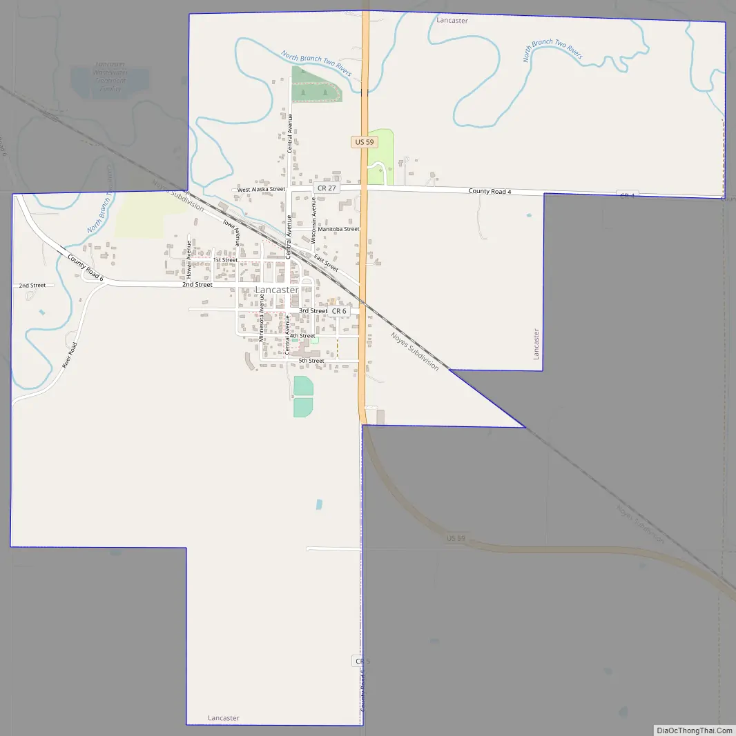
Lancaster Road Map
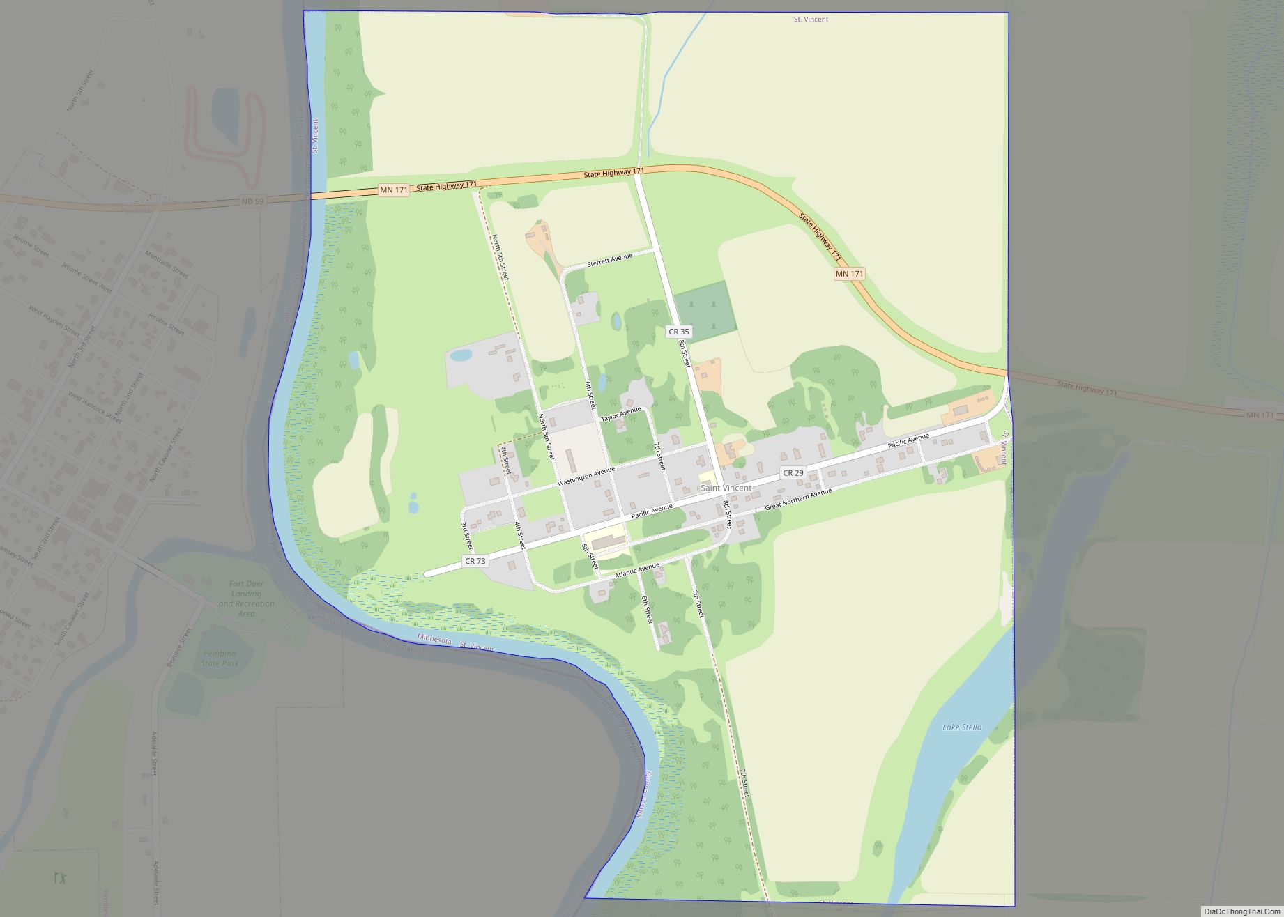
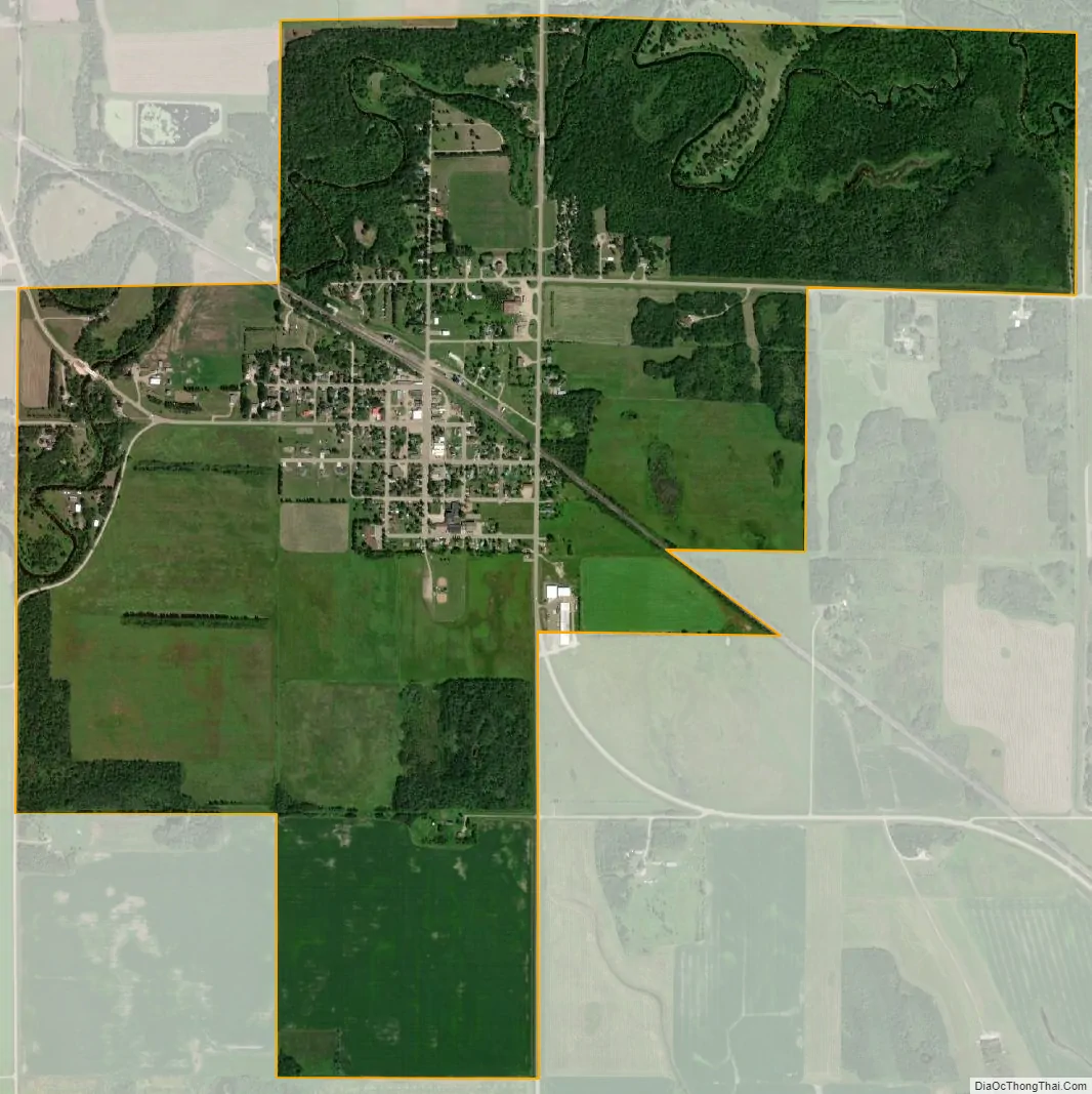
Lancaster city Satellite Map
Geography
According to the United States Census Bureau, the city has an area of 2.30 square miles (5.96 km), all land.
Lancaster is along U.S. Highway 59, at the junction with Kittson County Roads 4, 5, and 6. The North Branch Two Rivers flows nearby. The Canadian border is nine miles north.
See also
Map of Minnesota State and its subdivision:- Aitkin
- Anoka
- Becker
- Beltrami
- Benton
- Big Stone
- Blue Earth
- Brown
- Carlton
- Carver
- Cass
- Chippewa
- Chisago
- Clay
- Clearwater
- Cook
- Cottonwood
- Crow Wing
- Dakota
- Dodge
- Douglas
- Faribault
- Fillmore
- Freeborn
- Goodhue
- Grant
- Hennepin
- Houston
- Hubbard
- Isanti
- Itasca
- Jackson
- Kanabec
- Kandiyohi
- Kittson
- Koochiching
- Lac qui Parle
- Lake
- Lake of the Woods
- Lake Superior
- Le Sueur
- Lincoln
- Lyon
- Mahnomen
- Marshall
- Martin
- McLeod
- Meeker
- Mille Lacs
- Morrison
- Mower
- Murray
- Nicollet
- Nobles
- Norman
- Olmsted
- Otter Tail
- Pennington
- Pine
- Pipestone
- Polk
- Pope
- Ramsey
- Red Lake
- Redwood
- Renville
- Rice
- Rock
- Roseau
- Saint Louis
- Scott
- Sherburne
- Sibley
- Stearns
- Steele
- Stevens
- Swift
- Todd
- Traverse
- Wabasha
- Wadena
- Waseca
- Washington
- Watonwan
- Wilkin
- Winona
- Wright
- Yellow Medicine
- Alabama
- Alaska
- Arizona
- Arkansas
- California
- Colorado
- Connecticut
- Delaware
- District of Columbia
- Florida
- Georgia
- Hawaii
- Idaho
- Illinois
- Indiana
- Iowa
- Kansas
- Kentucky
- Louisiana
- Maine
- Maryland
- Massachusetts
- Michigan
- Minnesota
- Mississippi
- Missouri
- Montana
- Nebraska
- Nevada
- New Hampshire
- New Jersey
- New Mexico
- New York
- North Carolina
- North Dakota
- Ohio
- Oklahoma
- Oregon
- Pennsylvania
- Rhode Island
- South Carolina
- South Dakota
- Tennessee
- Texas
- Utah
- Vermont
- Virginia
- Washington
- West Virginia
- Wisconsin
- Wyoming