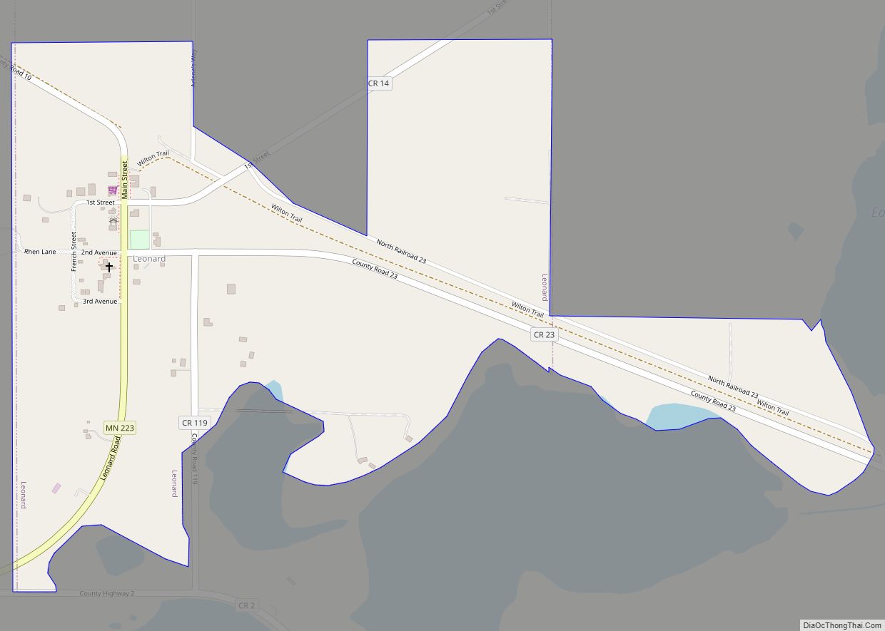
Leonard is a city in Clearwater County, Minnesota, United States. The population was 41 at the 2020 census. Leonard city overview: Name: Leonard city LSAD Code: 25 LSAD Description: city (suffix) State: Minnesota County: Clearwater County Founded: 1899 Elevation: 1,453 ft (443 m) Total Area: 0.46 sq mi (1.20 km²) Land Area: 0.46 sq mi (1.20 km²) Water Area: 0.00 sq mi (0.00 km²) Total Population: ... Read more
Minnesota Cities and Places
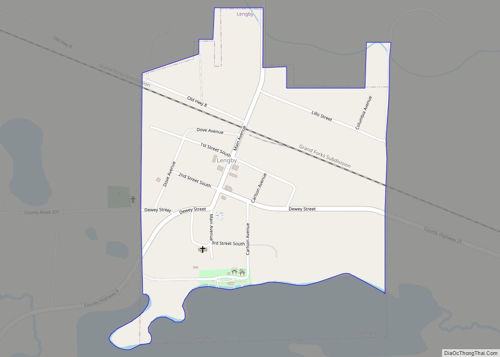
Lengby (pronounced lang – bee) is a city in Polk County, Minnesota, United States. It is part of the Grand Forks ND–MN Metropolitan Statistical Area. The population was 92 at the 2020 census. Lengby city overview: Name: Lengby city LSAD Code: 25 LSAD Description: city (suffix) State: Minnesota County: Polk County Elevation: 1,385 ft (422 m) Total ... Read more
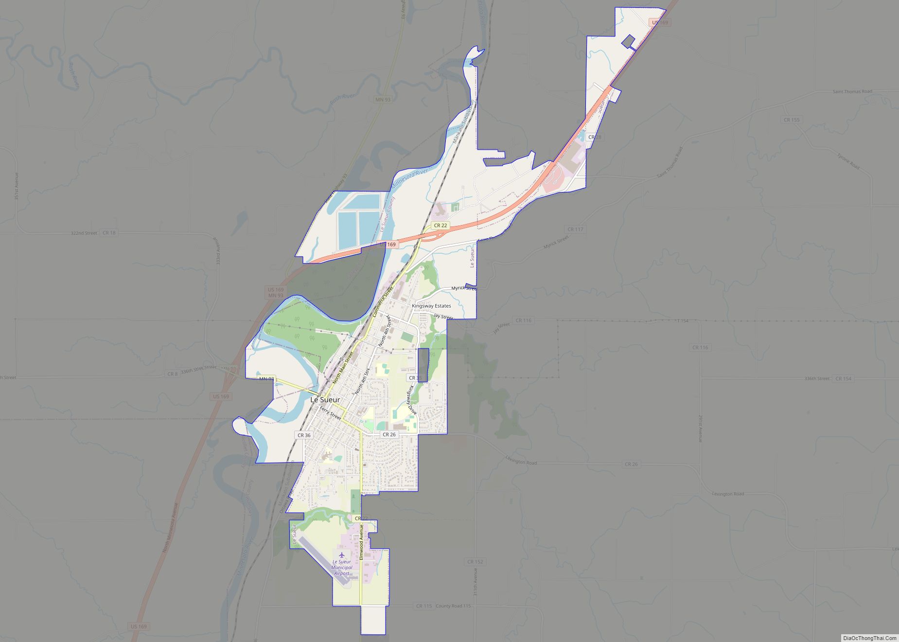
Le Sueur (/ləsʊər/ lə-SOOR) is a city in Le Sueur County in the U.S. state of Minnesota, between Mankato and the Twin Cities. It lies along the Minnesota River and U.S. Highway 169. Le Sueur was named in honor of the French explorer Pierre-Charles Le Sueur. The population was 4,213 at the 2020 census. The ... Read more
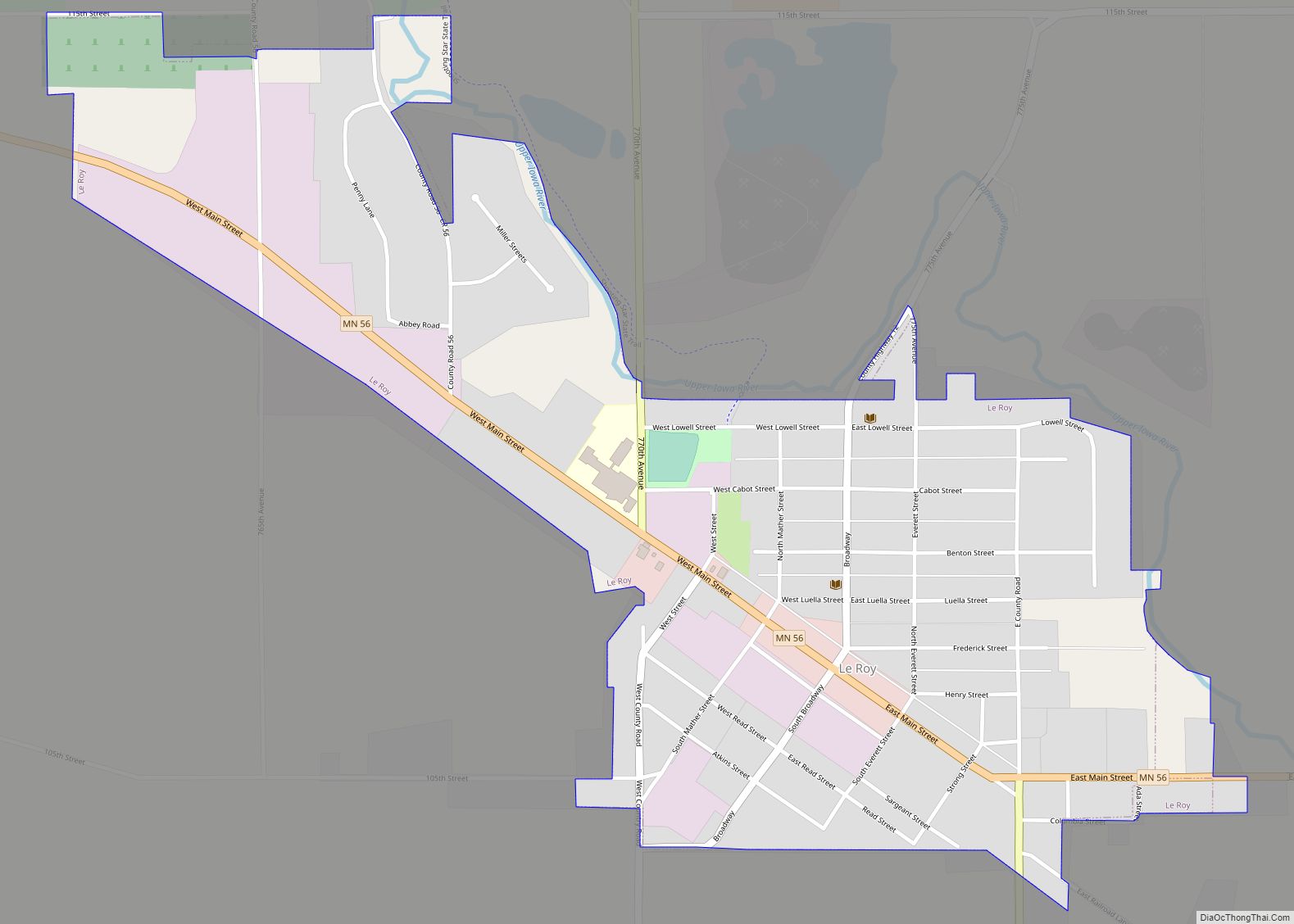
Le Roy (/ˈliˌrɔɪ/ LEE-ROY) is a city in Mower County, Minnesota, United States, surrounded by Le Roy Township. The population was 929 at the 2010 census. Lake Louise State Park is just outside the town. Le Roy city overview: Name: Le Roy city LSAD Code: 25 LSAD Description: city (suffix) State: Minnesota County: Mower County ... Read more
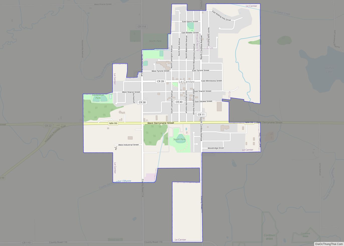
Le Center is a city in Le Sueur County, Minnesota, United States. The population was 2,517 at the 2020 census. It is the county seat of Le Sueur County. The Le Sueur County Courthouse and Jail are listed on the National Register of Historic Places. Le Center city overview: Name: Le Center city LSAD Code: ... Read more
Lindström (also spelled Lindstrom) is a city in Chisago County, Minnesota, United States, located 35 miles northeast of the Twin Cities. The population was 4,442 at the 2010 census. Lindström’s motto is America’s Little [Sweden]. U.S. Highway 8 serves as a main route for the community. Lindstrom city overview: Name: Lindstrom city LSAD Code: 25 ... Read more
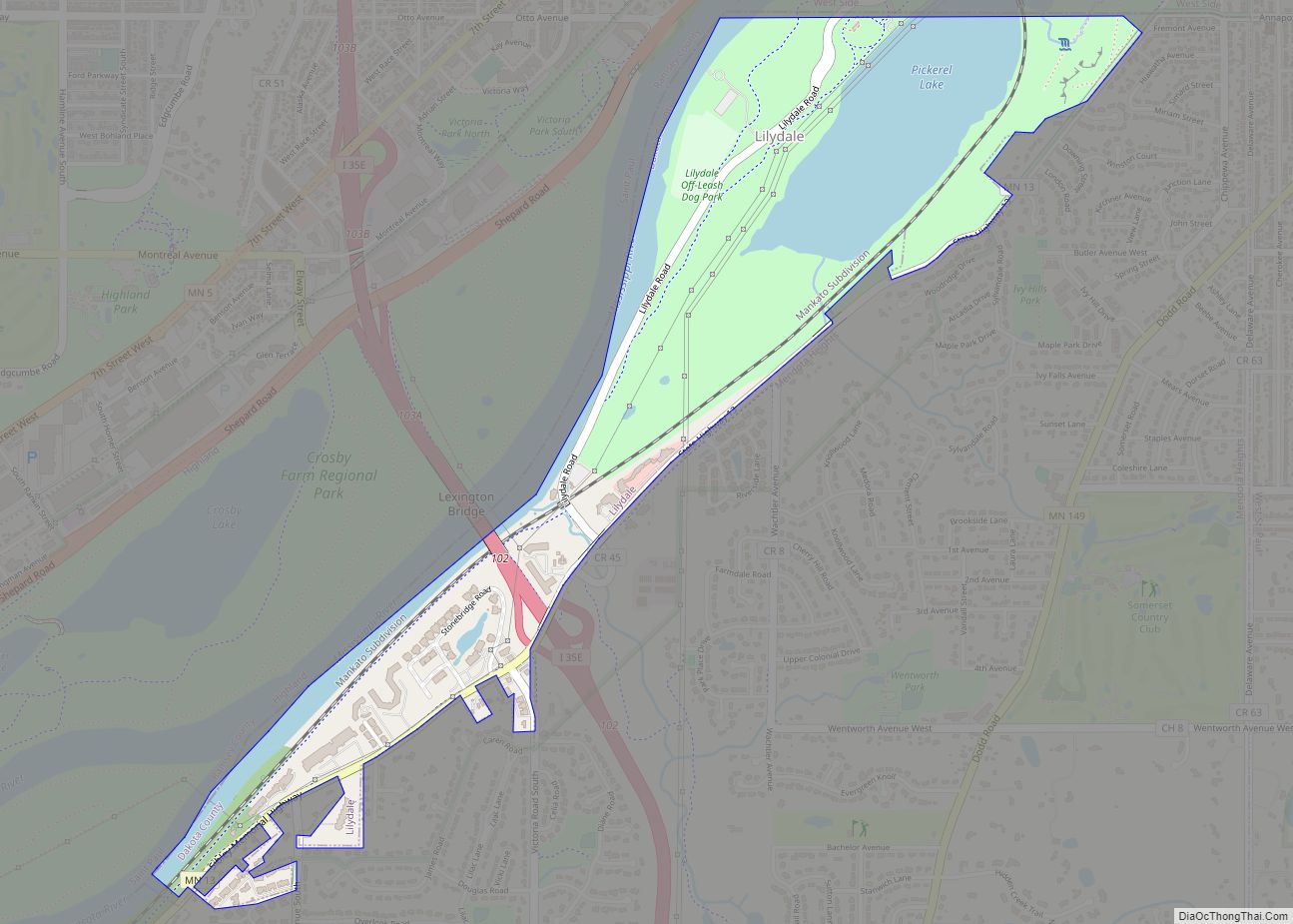
Lilydale is a city in Dakota County, Minnesota, United States. The population was 623 at the 2010 census. Lilydale city overview: Name: Lilydale city LSAD Code: 25 LSAD Description: city (suffix) State: Minnesota County: Dakota County Elevation: 702 ft (214 m) Total Area: 0.88 sq mi (2.28 km²) Land Area: 0.55 sq mi (1.43 km²) Water Area: 0.33 sq mi (0.85 km²) Total Population: 809 Population ... Read more
Lexington is a city in Anoka County, Minnesota, United States, and is a northern suburb of the Twin Cities metropolitan area. The population was 2,049 at the 2010 census. Lexington city overview: Name: Lexington city LSAD Code: 25 LSAD Description: city (suffix) State: Minnesota County: Anoka County Elevation: 912 ft (278 m) Total Area: 0.69 sq mi (1.79 km²) Land ... Read more
Littlefork is a city in Koochiching County, Minnesota, United States. The population was 553 at the 2020 census. U.S. Highway 71 and state highways 65 and 217 are three of the main routes in Littlefork. Littlefork city overview: Name: Littlefork city LSAD Code: 25 LSAD Description: city (suffix) State: Minnesota County: Koochiching County Elevation: 1,115 ft ... Read more
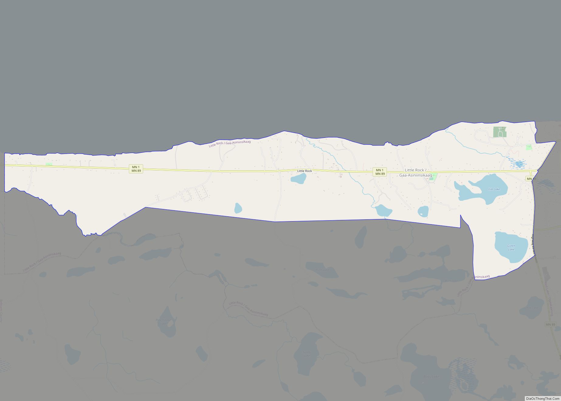
Little Rock (Ojibwe: Gaa-Asiniinsikaag) is a census-designated place (CDP) within the Lower Red Lake unorganized territory in Beltrami County, Minnesota, United States. The population was 1,208 at the 2010 census. Little Rock CDP overview: Name: Little Rock CDP LSAD Code: 57 LSAD Description: CDP (suffix) State: Minnesota County: Beltrami County Elevation: 1,197 ft (365 m) Total Area: ... Read more
Little Falls is a city in Morrison County, Minnesota, United States, near the geographic center of the state. Established in 1848, Little Falls is one of the oldest European-American cities in Minnesota. It is the county seat of Morrison County. The population was 9,140 at the 2020 census. Little Falls was the boyhood home of ... Read more
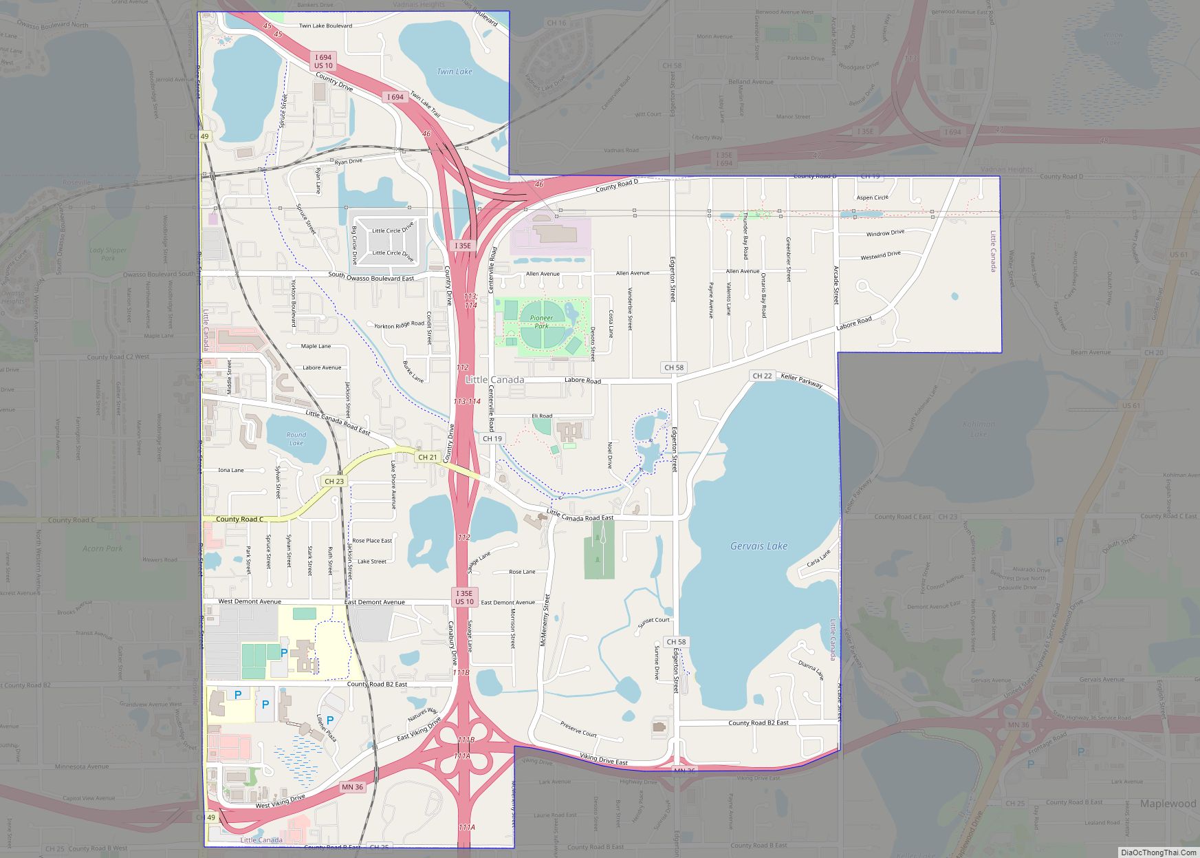
Little Canada is a city in Ramsey County, Minnesota, United States. It is a second-ring suburb of Minneapolis-Saint Paul. The population was 10,819 at the 2020 census. Little Canada city overview: Name: Little Canada city LSAD Code: 25 LSAD Description: city (suffix) State: Minnesota County: Ramsey County Founded: 1858 Elevation: 912 ft (278 m) Total Area: 4.49 sq mi ... Read more
