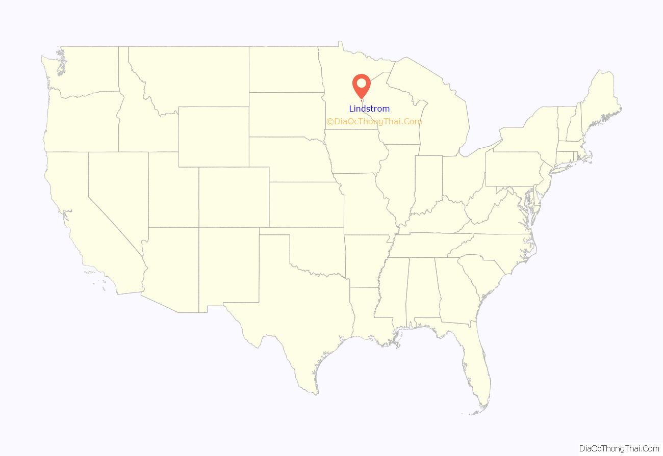
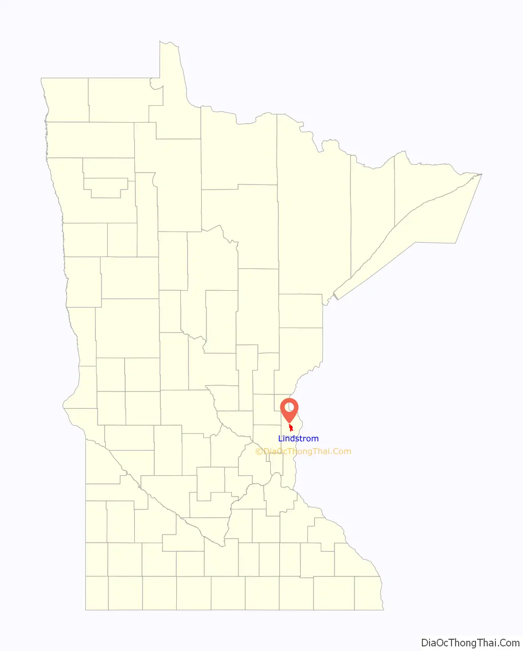
Lindström (also spelled Lindstrom) is a city in Chisago County, Minnesota, United States, located 35 miles northeast of the Twin Cities. The population was 4,442 at the 2010 census. Lindström’s motto is America’s Little [Sweden]. U.S. Highway 8 serves as a main route for the community.
| Name: | Lindstrom city |
|---|---|
| LSAD Code: | 25 |
| LSAD Description: | city (suffix) |
| State: | Minnesota |
| County: | Chisago County |
| Elevation: | 909 ft (277 m) |
| Total Area: | 3.88 sq mi (10.04 km²) |
| Land Area: | 3.81 sq mi (9.86 km²) |
| Water Area: | 0.07 sq mi (0.17 km²) |
| Total Population: | 4,888 |
| Population Density: | 1,283.61/sq mi (495.60/km²) |
| ZIP code: | 55045 |
| Area code: | 651 |
| FIPS code: | 2737304 |
| GNISfeature ID: | 2395717 |
| Website: | http://www.cityoflindstrom.us/ |
Online Interactive Map
Click on ![]() to view map in "full screen" mode.
to view map in "full screen" mode.
Lindstrom location map. Where is Lindstrom city?
History
Lindström was settled predominantly by Swedish (and a few Norwegian) immigrants and their families. In 1853, Daniel Lindström left Sweden in search of a nice piece of land to settle in the United States. Lindström was platted in 1880. The town of Lindström was incorporated in 1894. Many other Swedish emigrants traveled with Daniel Lindström. Joris Per Anderson, half brother to Daniel Lindström, came in 1850 leading a party from Hassela, Sweden. In the party was Eric Norelius, whose personal journals in part formed the basis of Vilhelm Moberg’s novels of the Swedish emigration to the United States, The Emigrants. Moberg’s novels have two main characters, Karl Oskar and Kristina Nilsson. The novels depict the hardships Swedish emigrants endured en route to the United States and their first ten years in their new home country. A bronze statue of the author, holding his bicycle as if ready to ride away, stands on a stepped platform in Chisago City’s town park. An image of Karl Oskar and Kristina remains Lindström’s logo today. Since 1990, anyone who has taken U.S. Highway 8 from north of Forest Lake to Lindström has driven on the Moberg Trail.
Lindström celebrates Karl Oskar and Kristina annually with Karl Oskar Days. This event takes place mid-July and includes such activities as the coronation of a “Karl Oskar Princess”, parades, a street dance, and fireworks. There are still statues of Karl Oskar and Kristina in Lindström, as a tribute to the early Swedish immigrants whose descendants continue to populate the area. These statues are the main attraction for tourists from all over the world who come to Lindström because of its Swedish heritage.
In April 2015, Minnesota Governor Mark Dayton signed an executive order to restore the umlaut (¨) over the “o” on the Lindström city limits sign. (However, both the USGS and the US Census Bureau record the city’s name as “Lindstrom”.)
Lindstrom Road Map
Lindstrom city Satellite Map

Geography
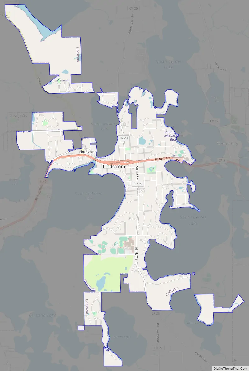
According to the United States Census Bureau, the city has a total area of 3.69 square miles (9.56 km), of which 3.60 square miles (9.32 km) is land and 0.09 square miles (0.23 km) is water.
Lindström is located 10 miles (16 km) from the Wisconsin state line, and less than two hours from cities including Duluth, St. Cloud, and the Twin Cities area. When looking at the town from above, it looks like it could be an island due to the surrounding lakes. The landmass of Lindström consists mainly of lakes (including South Lindström Lake, North Lindström Lake, and Green Lake). With so many lakes, Lindström is a destination for fishers from all over the world.
See also
Map of Minnesota State and its subdivision:- Aitkin
- Anoka
- Becker
- Beltrami
- Benton
- Big Stone
- Blue Earth
- Brown
- Carlton
- Carver
- Cass
- Chippewa
- Chisago
- Clay
- Clearwater
- Cook
- Cottonwood
- Crow Wing
- Dakota
- Dodge
- Douglas
- Faribault
- Fillmore
- Freeborn
- Goodhue
- Grant
- Hennepin
- Houston
- Hubbard
- Isanti
- Itasca
- Jackson
- Kanabec
- Kandiyohi
- Kittson
- Koochiching
- Lac qui Parle
- Lake
- Lake of the Woods
- Lake Superior
- Le Sueur
- Lincoln
- Lyon
- Mahnomen
- Marshall
- Martin
- McLeod
- Meeker
- Mille Lacs
- Morrison
- Mower
- Murray
- Nicollet
- Nobles
- Norman
- Olmsted
- Otter Tail
- Pennington
- Pine
- Pipestone
- Polk
- Pope
- Ramsey
- Red Lake
- Redwood
- Renville
- Rice
- Rock
- Roseau
- Saint Louis
- Scott
- Sherburne
- Sibley
- Stearns
- Steele
- Stevens
- Swift
- Todd
- Traverse
- Wabasha
- Wadena
- Waseca
- Washington
- Watonwan
- Wilkin
- Winona
- Wright
- Yellow Medicine
- Alabama
- Alaska
- Arizona
- Arkansas
- California
- Colorado
- Connecticut
- Delaware
- District of Columbia
- Florida
- Georgia
- Hawaii
- Idaho
- Illinois
- Indiana
- Iowa
- Kansas
- Kentucky
- Louisiana
- Maine
- Maryland
- Massachusetts
- Michigan
- Minnesota
- Mississippi
- Missouri
- Montana
- Nebraska
- Nevada
- New Hampshire
- New Jersey
- New Mexico
- New York
- North Carolina
- North Dakota
- Ohio
- Oklahoma
- Oregon
- Pennsylvania
- Rhode Island
- South Carolina
- South Dakota
- Tennessee
- Texas
- Utah
- Vermont
- Virginia
- Washington
- West Virginia
- Wisconsin
- Wyoming


