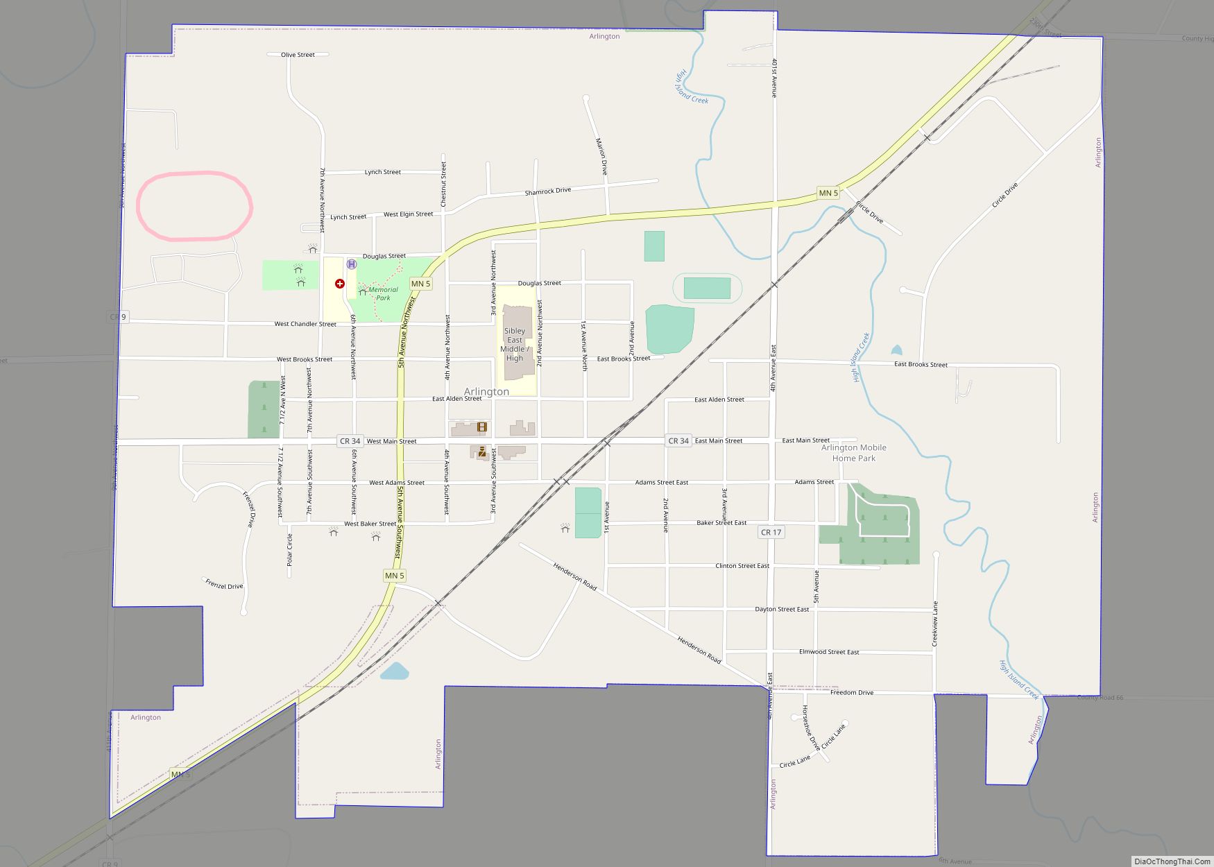
Le Sueur (/ləsʊər/ lə-SOOR) is a city in Le Sueur County in the U.S. state of Minnesota, between Mankato and the Twin Cities. It lies along the Minnesota River and U.S. Highway 169. Le Sueur was named in honor of the French explorer Pierre-Charles Le Sueur. The population was 4,213 at the 2020 census.
The community is known locally as the “Valley of the Jolly Green Giant”. A large billboard, with the caption “Welcome to the Valley” and Green Giant logo, remains even after the company and Green Giant label were bought by Pillsbury in 1979. Pillsbury merged with General Mills in 2001. In 2016, General Mills spun off Green Giant to B&G Foods and the canning is done in Montgomery, Minnesota. The old canning processing plant in Le Sueur was used until 1995. It is still used for Ag related research for corn varieties. Peas are no longer researched at the Le Sueur plant. The sugar snap pea variety was developed by a scientist at the Le Sueur plant.
| Name: | Le Sueur city |
|---|---|
| LSAD Code: | 25 |
| LSAD Description: | city (suffix) |
| State: | Minnesota |
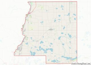
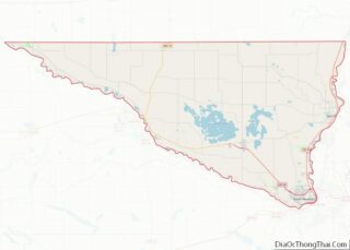
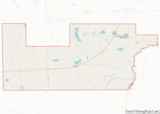
| County: | Le Sueur County, Nicollet County, Sibley County |
| Elevation: | 774 ft (236 m) |
| Total Area: | 5.44 sq mi (14.09 km²) |
| Land Area: | 5.20 sq mi (13.46 km²) |
| Water Area: | 0.24 sq mi (0.63 km²) |
| Total Population: | 4,213 |
| Population Density: | 810.50/sq mi (312.91/km²) |
| ZIP code: | 56058 |
| Area code: | 507 |
| FIPS code: | 2736746 |
| GNISfeature ID: | 0654787 |
| Website: | cityoflesueur.com |
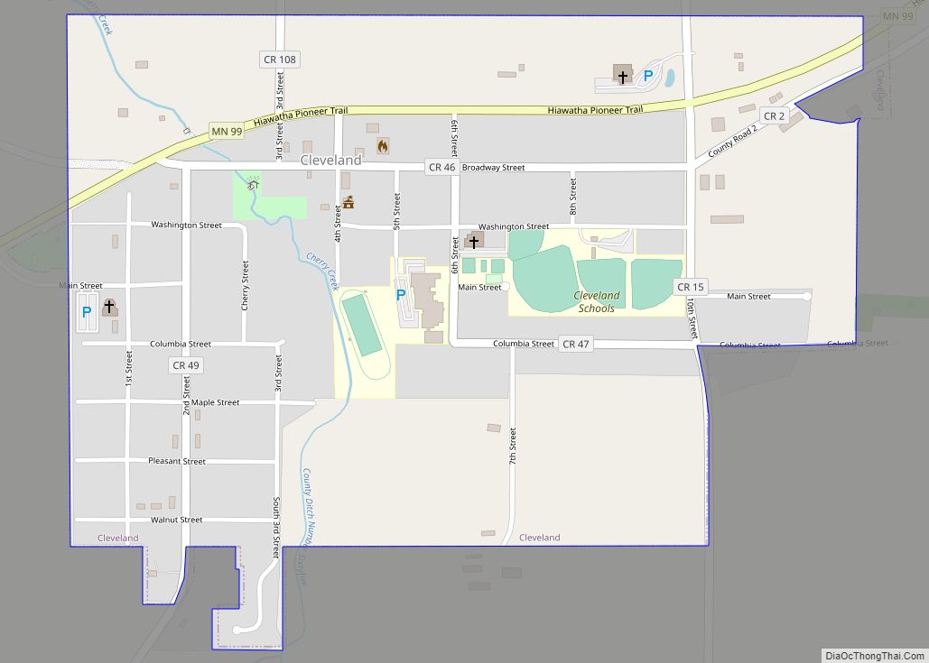
Online Interactive Map
Click on ![]() to view map in "full screen" mode.
to view map in "full screen" mode.
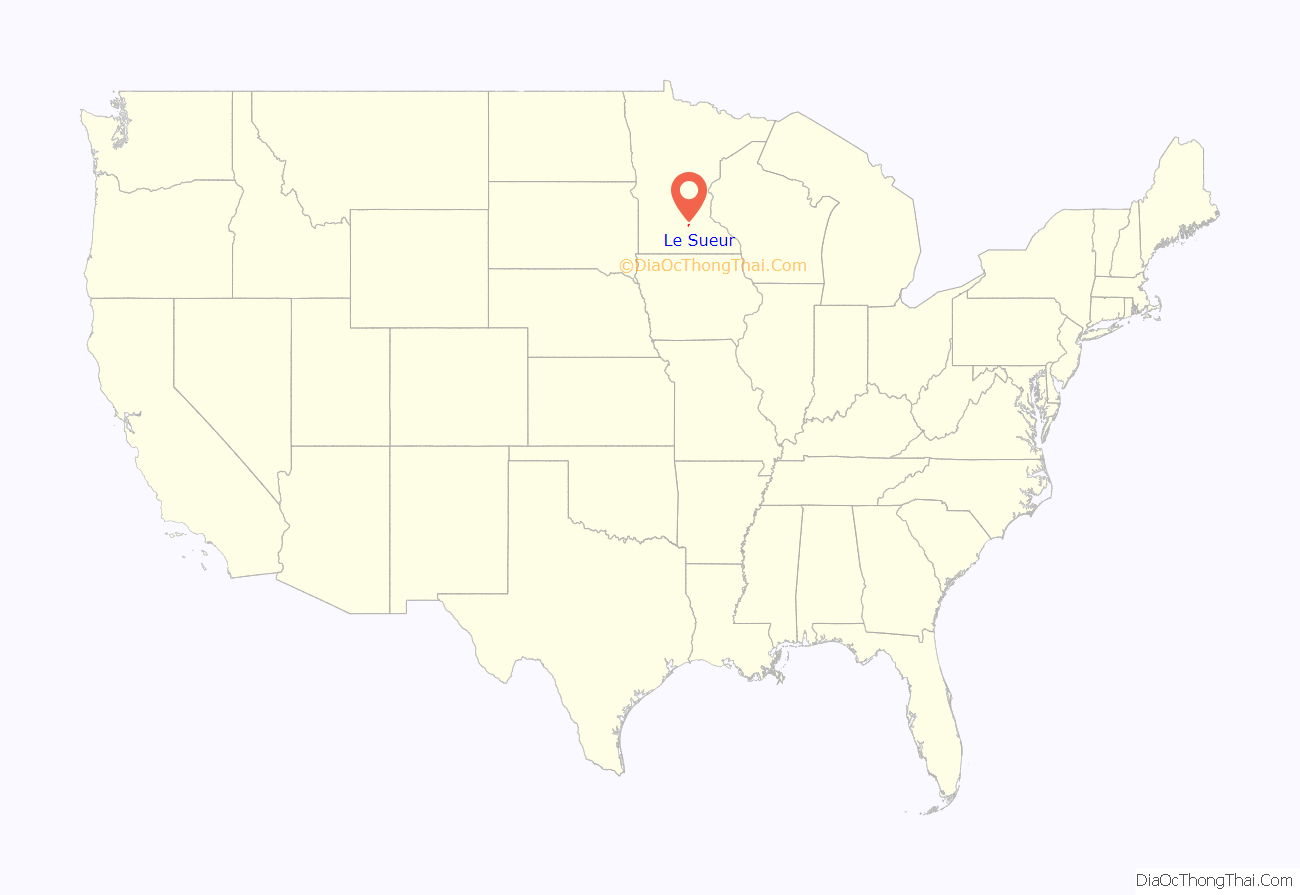
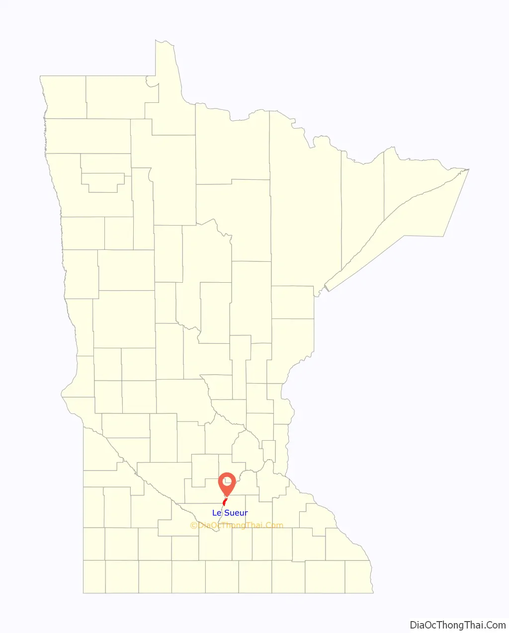
Le Sueur location map. Where is Le Sueur city?
History
Le Sueur was named its current name in 1853 by the community there at the time after the explorer Pierre-Charles Le Sueur who explored this area from 1683 to 1722. Before this, the area was known by the French as Prairie La Fleche, or “prairie the arrow”. It is believed this place name originates from a translation of the native Dakota name for the area, Wahinoge, or “flint quarry”, a material used to make arrowheads.
In 1852, the first claim on the area that is now the city of Le Sueur was made by George W. Thompson. Soon after Thompson settled here, Henry McLean, presenting a license from the governor for him to operate with natives of the area, demanded Thompson’s vacation. Despite his vacation, Thompson was able to claim lands one mile upriver. Within that year, Thompson, accompanied by a party led by J.M. Farmer, founded the village of Le Sueur. McLean, accompanied by John Christy and John Catheart and unaware of the village upriver, attempted to found his own village of Le Sueur. However, as an identically named settlement had already been legally platted upriver, McLean was required to settle for the name Le Sueur City. Rivalry over the righteous claim of Le Sueur caused both cities to legislate civil matters separately and deterred the incorporation of either community. However, in 1867, a special act by Minnesota Legislature was able to remedy this by uniting both communities into one borough town, Le Sueur.
William Worrall Mayo was an early resident who began his practice in Le Sueur. He eventually founded the world-famous Mayo Clinic in Rochester, Minnesota, with his sons William and Charles. His old home, the Dr. William W. Mayo House, was restored to its mid-1800 appearance and turned into a museum; it, along with several other buildings in Le Sueur, is listed on the National Register of Historic Places.
The company that is now known as Green Giant was founded in 1903 as The Minnesota Valley Canning Company, by 14 Le Sueur local merchants. In 1925, along with the introduction of “Green Giant Great Big Tender Peas”, a company mascot based on Paul Bunyan was introduced called “The Jolly Green Giant”. The new mascot spurred the company to change its name to “Green Giant Co.” in 1950. The canning company flourished in Le Sueur until Pillsbury’s purchase of Green Giant 1979 which moved Green Giant headquarters from Le Sueur to Minneapolis. In January 1995, Pillsbury officially announced the closure of the entirety of the original Green Giant processing plant, with the exception of a Green Giant research center. Of note, the more-than-55-foot fiberglass Jolly Green Giant statue resides not Le Sueur but 60 miles away in Blue Earth, Minnesota.
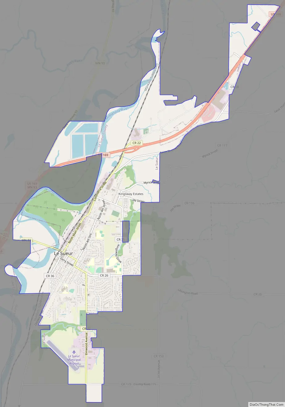
Le Sueur Road Map
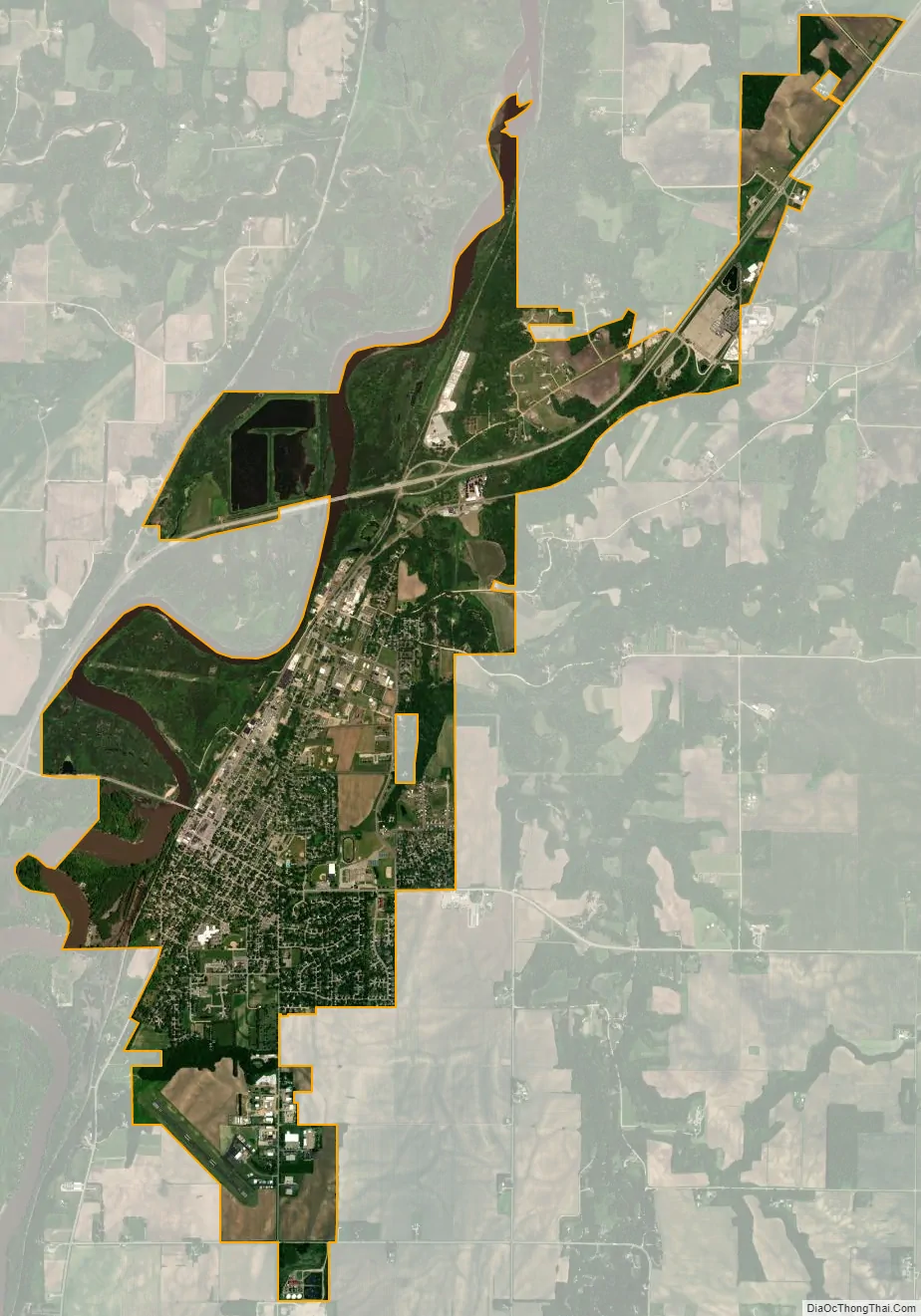
Le Sueur city Satellite Map
Geography
According to the United States Census Bureau, the city has a total area of 5.62 square miles (14.56 km); 5.37 square miles (13.91 km) is land and 0.25 square miles (0.65 km) is water. A small part of the city extends into Sibley County.
U.S. Highway 169, Minnesota State Highway 93, and County Highway 22 (Formerly Minnesota State Highway 112) are three of the main routes in the community.
See also
Map of Minnesota State and its subdivision:- Aitkin
- Anoka
- Becker
- Beltrami
- Benton
- Big Stone
- Blue Earth
- Brown
- Carlton
- Carver
- Cass
- Chippewa
- Chisago
- Clay
- Clearwater
- Cook
- Cottonwood
- Crow Wing
- Dakota
- Dodge
- Douglas
- Faribault
- Fillmore
- Freeborn
- Goodhue
- Grant
- Hennepin
- Houston
- Hubbard
- Isanti
- Itasca
- Jackson
- Kanabec
- Kandiyohi
- Kittson
- Koochiching
- Lac qui Parle
- Lake
- Lake of the Woods
- Lake Superior
- Le Sueur
- Lincoln
- Lyon
- Mahnomen
- Marshall
- Martin
- McLeod
- Meeker
- Mille Lacs
- Morrison
- Mower
- Murray
- Nicollet
- Nobles
- Norman
- Olmsted
- Otter Tail
- Pennington
- Pine
- Pipestone
- Polk
- Pope
- Ramsey
- Red Lake
- Redwood
- Renville
- Rice
- Rock
- Roseau
- Saint Louis
- Scott
- Sherburne
- Sibley
- Stearns
- Steele
- Stevens
- Swift
- Todd
- Traverse
- Wabasha
- Wadena
- Waseca
- Washington
- Watonwan
- Wilkin
- Winona
- Wright
- Yellow Medicine
- Alabama
- Alaska
- Arizona
- Arkansas
- California
- Colorado
- Connecticut
- Delaware
- District of Columbia
- Florida
- Georgia
- Hawaii
- Idaho
- Illinois
- Indiana
- Iowa
- Kansas
- Kentucky
- Louisiana
- Maine
- Maryland
- Massachusetts
- Michigan
- Minnesota
- Mississippi
- Missouri
- Montana
- Nebraska
- Nevada
- New Hampshire
- New Jersey
- New Mexico
- New York
- North Carolina
- North Dakota
- Ohio
- Oklahoma
- Oregon
- Pennsylvania
- Rhode Island
- South Carolina
- South Dakota
- Tennessee
- Texas
- Utah
- Vermont
- Virginia
- Washington
- West Virginia
- Wisconsin
- Wyoming