Little Falls is a city in Morrison County, Minnesota, United States, near the geographic center of the state. Established in 1848, Little Falls is one of the oldest European-American cities in Minnesota. It is the county seat of Morrison County. The population was 9,140 at the 2020 census. Little Falls was the boyhood home of noted aviator Charles Lindbergh. Just across from his former home is Charles A. Lindbergh State Park, named after Lindbergh’s father, prominent Minnesota lawyer and U.S. Congressman Charles August Lindbergh.
The town developed at falls on the Mississippi River, and was named after them. Several different dams have been built over the falls during the town’s history, some of which powered sawmills in the 19th century. Today, the Little Falls Dam is a hydroelectric station that generates power for the surrounding area.
| Name: | Little Falls city |
|---|---|
| LSAD Code: | 25 |
| LSAD Description: | city (suffix) |
| State: | Minnesota |
| County: | Morrison County |
| Elevation: | 1,112 ft (339 m) |
| Total Area: | 8.95 sq mi (23.18 km²) |
| Land Area: | 8.04 sq mi (20.82 km²) |
| Water Area: | 0.91 sq mi (2.36 km²) |
| Total Population: | 9,140 |
| Population Density: | 1,137.24/sq mi (439.11/km²) |
| ZIP code: | 56345 |
| Area code: | 320 |
| FIPS code: | 2737556 |
| GNISfeature ID: | 0646801 |
Online Interactive Map
Click on ![]() to view map in "full screen" mode.
to view map in "full screen" mode.
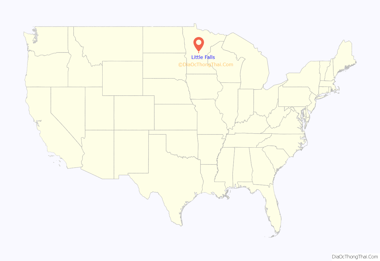
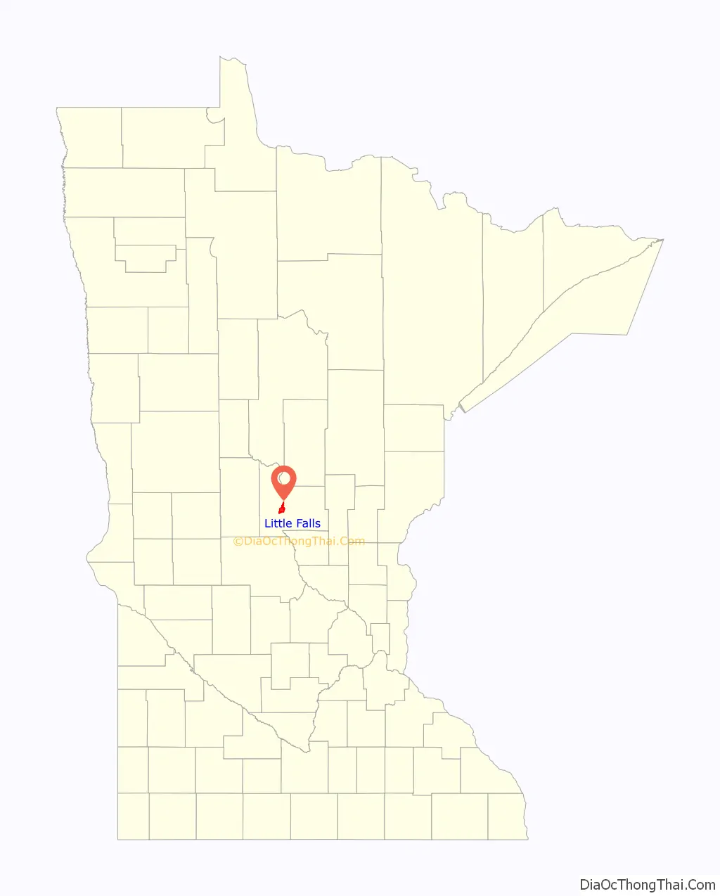
Little Falls location map. Where is Little Falls city?
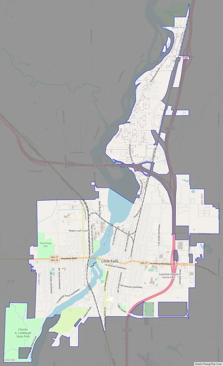
Little Falls Road Map
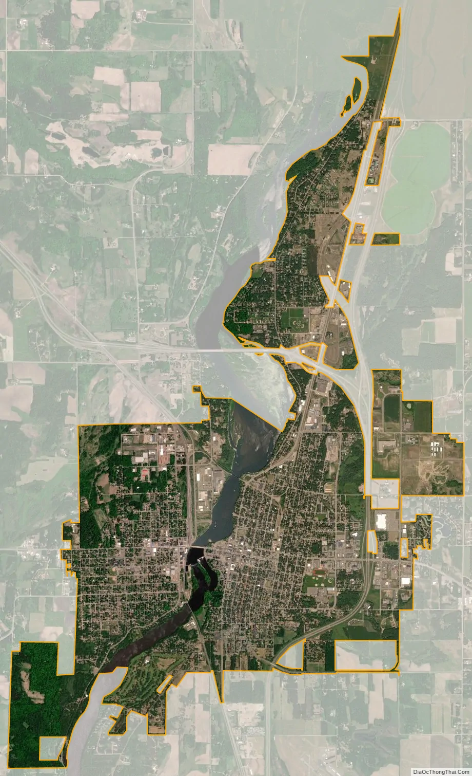
Little Falls city Satellite Map
Geography
According to the United States Census Bureau, the city has a total area of 7.78 square miles (20.15 km), of which 7.24 square miles (18.75 km) is land and 0.54 square miles (1.40 km) is water.
U.S. Highway 10 and Minnesota State Highways 27 and 371 are three of the main routes in the city.
Little Falls is also the eastern terminus of Minnesota Highway 28, which heads to Browns Valley at its western terminus at the Minnesota–South Dakota border. Highway 28 is co-signed with Highway 27, 12 miles west of town, until it turns towards Swanville. Highway 28 is unsigned until outside the city limits.
Minnesota Highway 238 is also nearby, linking Minnesota Highway 27 at Little Falls to Interstate 94 (I-94) in Albany, 35 miles south of Little Falls. Coordinates: 45°58′35″N 94°21′45″W / 45.97639°N 94.36250°W / 45.97639; -94.36250
A large ravine used to run through the east side business district, past the Morrison County Courthouse and the original Little Falls City Hall. The ravine served as an outflow for excess water from Fletcher Creek, which flows into the Mississippi River approximately six miles north of the city. Filling of the ravine began in the 1880s, to allow city development, and continued until the 1950s. It was directly filled with dirt in some locations, while in other places, buildings were built over the ravine.
See also
Map of Minnesota State and its subdivision:- Aitkin
- Anoka
- Becker
- Beltrami
- Benton
- Big Stone
- Blue Earth
- Brown
- Carlton
- Carver
- Cass
- Chippewa
- Chisago
- Clay
- Clearwater
- Cook
- Cottonwood
- Crow Wing
- Dakota
- Dodge
- Douglas
- Faribault
- Fillmore
- Freeborn
- Goodhue
- Grant
- Hennepin
- Houston
- Hubbard
- Isanti
- Itasca
- Jackson
- Kanabec
- Kandiyohi
- Kittson
- Koochiching
- Lac qui Parle
- Lake
- Lake of the Woods
- Lake Superior
- Le Sueur
- Lincoln
- Lyon
- Mahnomen
- Marshall
- Martin
- McLeod
- Meeker
- Mille Lacs
- Morrison
- Mower
- Murray
- Nicollet
- Nobles
- Norman
- Olmsted
- Otter Tail
- Pennington
- Pine
- Pipestone
- Polk
- Pope
- Ramsey
- Red Lake
- Redwood
- Renville
- Rice
- Rock
- Roseau
- Saint Louis
- Scott
- Sherburne
- Sibley
- Stearns
- Steele
- Stevens
- Swift
- Todd
- Traverse
- Wabasha
- Wadena
- Waseca
- Washington
- Watonwan
- Wilkin
- Winona
- Wright
- Yellow Medicine
- Alabama
- Alaska
- Arizona
- Arkansas
- California
- Colorado
- Connecticut
- Delaware
- District of Columbia
- Florida
- Georgia
- Hawaii
- Idaho
- Illinois
- Indiana
- Iowa
- Kansas
- Kentucky
- Louisiana
- Maine
- Maryland
- Massachusetts
- Michigan
- Minnesota
- Mississippi
- Missouri
- Montana
- Nebraska
- Nevada
- New Hampshire
- New Jersey
- New Mexico
- New York
- North Carolina
- North Dakota
- Ohio
- Oklahoma
- Oregon
- Pennsylvania
- Rhode Island
- South Carolina
- South Dakota
- Tennessee
- Texas
- Utah
- Vermont
- Virginia
- Washington
- West Virginia
- Wisconsin
- Wyoming


