Taopi is a city in Lodi Township, Mower County, Minnesota, United States. The population was 58 at the 2010 census. It is located near the source of the Wapsipinicon River. Taopi city overview: Name: Taopi city LSAD Code: 25 LSAD Description: city (suffix) State: Minnesota County: Mower County Elevation: 1,345 ft (410 m) Total Area: 0.39 sq mi (1.01 km²) ... Read more
Minnesota Cities and Places
Tenstrike is a city in Beltrami County, Minnesota, United States. The population was 201 at the 2010 census. It is 21 miles northeast of Bemidji. Tenstrike city overview: Name: Tenstrike city LSAD Code: 25 LSAD Description: city (suffix) State: Minnesota County: Beltrami County Elevation: 1,421 ft (433 m) Total Area: 4.50 sq mi (11.66 km²) Land Area: 3.31 sq mi (8.57 km²) Water ... Read more
Taylors Falls is a city in Chisago County, Minnesota, United States, located at the junction of U.S. Highway 8 and Minnesota State Highway 95. The population was 1,055 at the 2020 census. Taylors Falls city overview: Name: Taylors Falls city LSAD Code: 25 LSAD Description: city (suffix) State: Minnesota County: Chisago County Elevation: 945 ft (288 m) ... Read more
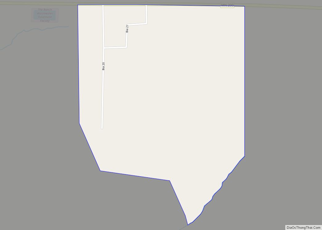
The Ranch is a census-designated place in La Garde Township, Mahnomen County, Minnesota, United States. Its population was 9 as of the 2010 census. The Ranch CDP overview: Name: The Ranch CDP LSAD Code: 57 LSAD Description: CDP (suffix) State: Minnesota County: Mahnomen County Elevation: 1,444 ft (440 m) Total Area: 0.31 sq mi (0.80 km²) Land Area: 0.31 sq mi (0.80 km²) ... Read more
The Lakes is an unincorporated community and census-designated place (CDP) in Murray County, Minnesota, United States located just north of Currie, Minnesota. The population was 667 at the 2010 census. The community is centered about Lake Shetek, the largest lake in southwestern Minnesota. The lake and the community are located in parts of four townships ... Read more
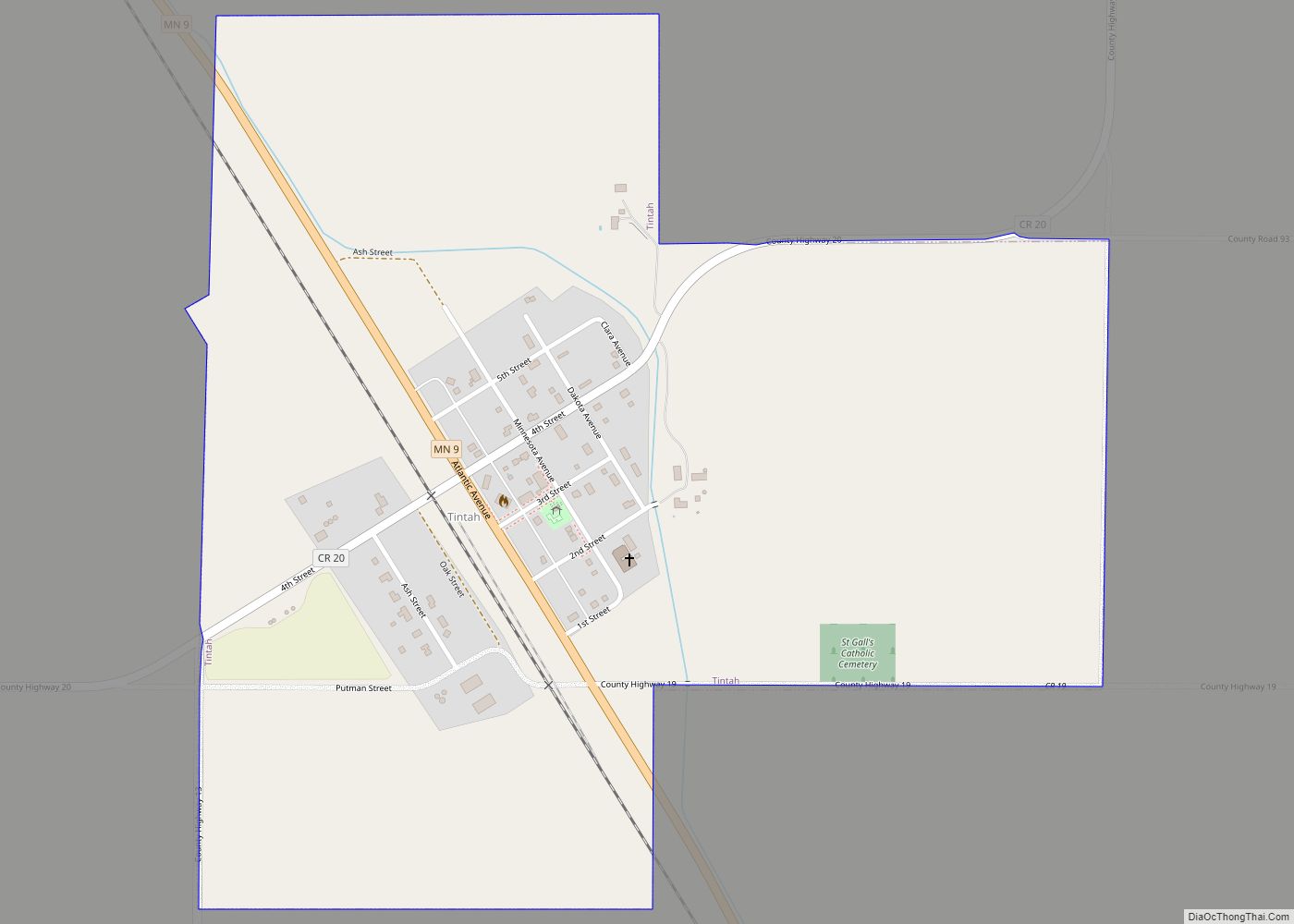
Tintah is a city in Traverse County, Minnesota, United States. The population was 67 at the 2020 census. Tintah city overview: Name: Tintah city LSAD Code: 25 LSAD Description: city (suffix) State: Minnesota County: Traverse County Elevation: 1,001 ft (305 m) Total Area: 0.75 sq mi (1.95 km²) Land Area: 0.75 sq mi (1.95 km²) Water Area: 0.00 sq mi (0.00 km²) Total Population: 67 Population ... Read more
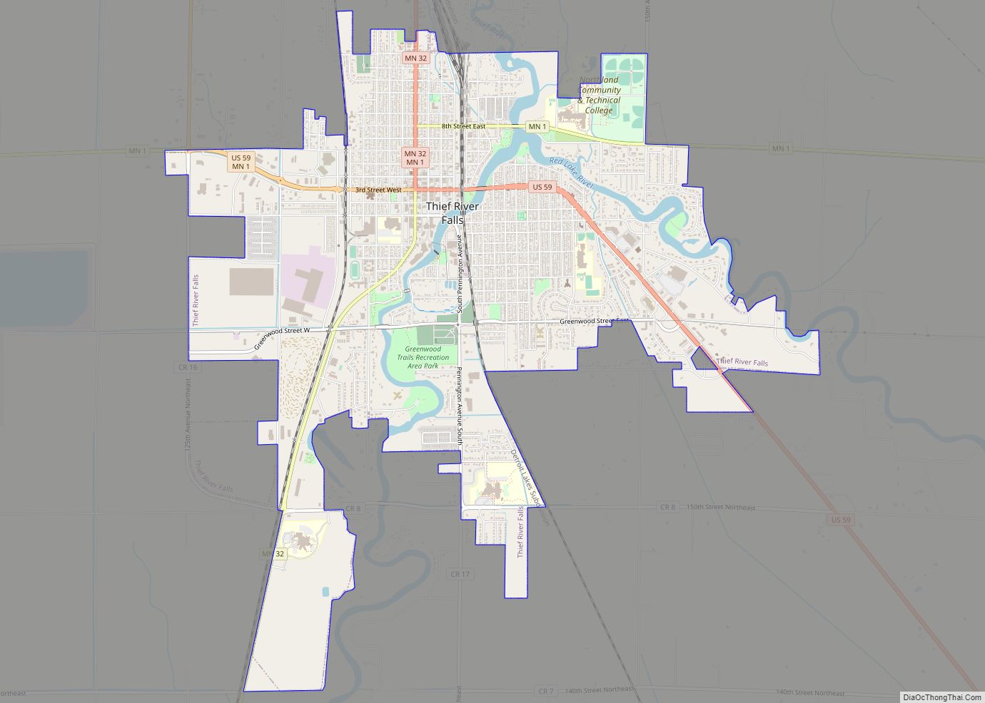
Thief River Falls, sometimes referred to as Thief River or abbreviated as TRF, is a city in Pennington County in the northwest portion of the U.S. state of Minnesota. The population was 8,749 at the 2020 census. Thief River Falls is the county seat for Pennington County. Thief River Falls city overview: Name: Thief River ... Read more
Tower is a city located in Saint Louis County, Minnesota, United States. As of the 2020 census, the city had a total population of 430. State Highways 1 (MN 1), 169 (MN 169), and 135 (MN 135) are three of the main routes in Tower. Tower is located on the southern shore of Lake Vermilion. ... Read more
Tonka Bay is a city in Hennepin County, Minnesota, United States. It is located on Lake Minnetonka between the upper and lower lakes. It gained some popularity in the 1880s and 1890s as a summer lake resort. The population of Tonka Bay was 1,475 at the 2010 census. Tonka Bay city overview: Name: Tonka Bay ... Read more
Trail is a city in Polk County, Minnesota, United States. It is part of the Grand Forks, ND–MN Metropolitan Statistical Area. The population was 40 at the 2020 census. Trail city overview: Name: Trail city LSAD Code: 25 LSAD Description: city (suffix) State: Minnesota County: Polk County Elevation: 1,211 ft (369 m) Total Area: 1.00 sq mi (2.59 km²) Land ... Read more
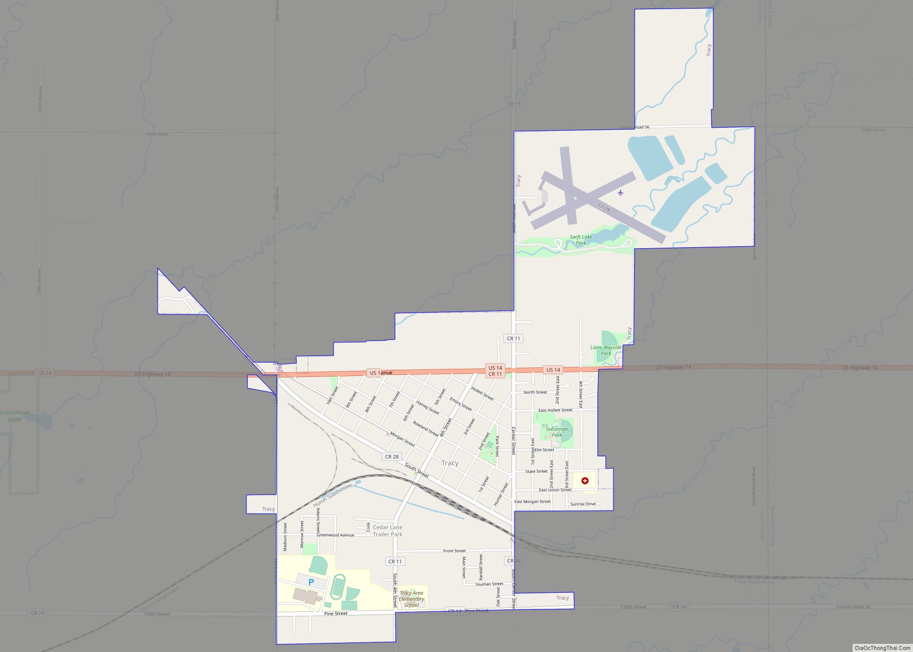
Tracy is a city in Lyon County, Minnesota, United States. The population was 2,163 at the 2010 census. U.S. Route 14 serves as a main arterial route in the community. Tracy city overview: Name: Tracy city LSAD Code: 25 LSAD Description: city (suffix) State: Minnesota County: Lyon County Elevation: 1,391 ft (424 m) Total Area: 2.44 sq mi (6.33 km²) ... Read more
Trommald is a city in Crow Wing County, Minnesota, United States. The population was 98 at the 2010 census. It is part of the Brainerd Micropolitan Statistical Area. Trommald was founded as a mining town on the western end of the Cuyuna iron range, just north of Ironton. Trommald city overview: Name: Trommald city LSAD ... Read more


