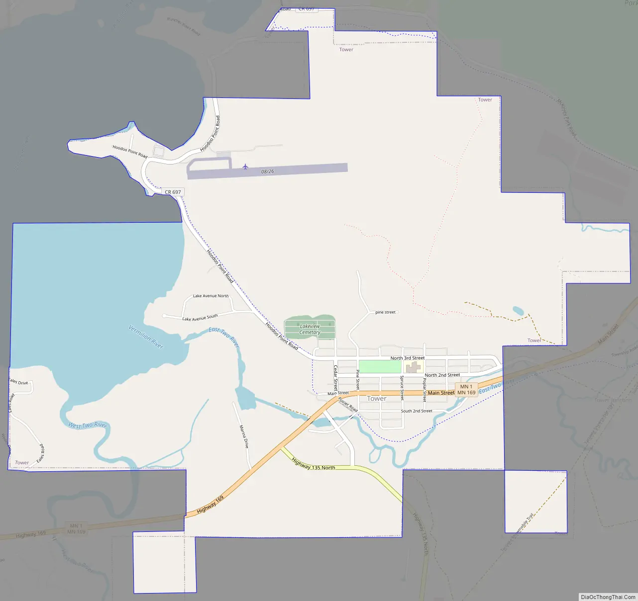
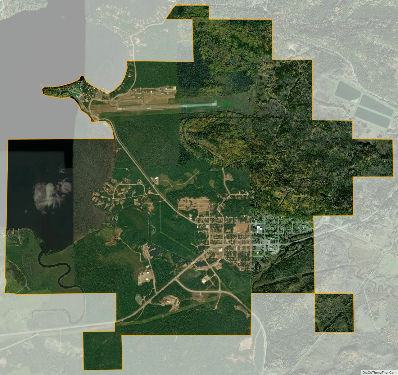
Tower is a city located in Saint Louis County, Minnesota, United States. As of the 2020 census, the city had a total population of 430. State Highways 1 (MN 1), 169 (MN 169), and 135 (MN 135) are three of the main routes in Tower. Tower is located on the southern shore of Lake Vermilion.
| Name: | Tower city |
|---|---|
| LSAD Code: | 25 |
| LSAD Description: | city (suffix) |
| State: | Minnesota |
| County: | St. Louis County |
| Incorporated: | March 13, 1889 |
| Elevation: | 1,398 ft (426 m) |
| Total Area: | 2.92 sq mi (7.56 km²) |
| Land Area: | 2.92 sq mi (7.56 km²) |
| Water Area: | 0.00 sq mi (0.00 km²) |
| Total Population: | 430 |
| Population Density: | 147.31/sq mi (56.88/km²) |
| ZIP code: | 55790 |
| Area code: | 218 |
| FIPS code: | 2765272 |
| GNISfeature ID: | 0662661 |
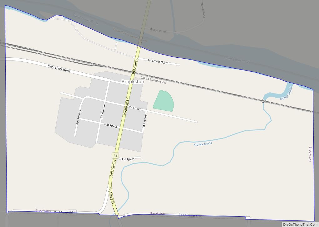
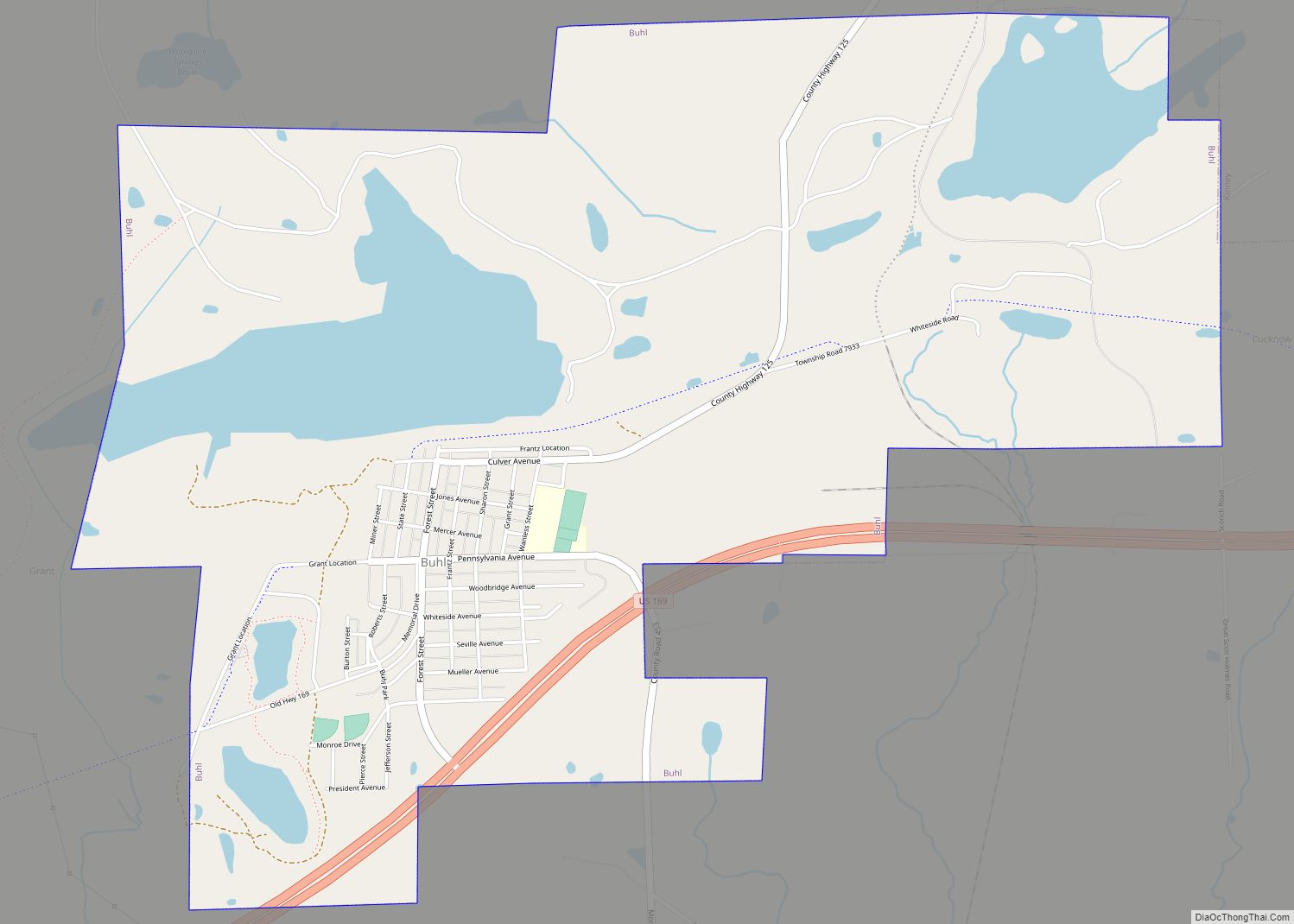
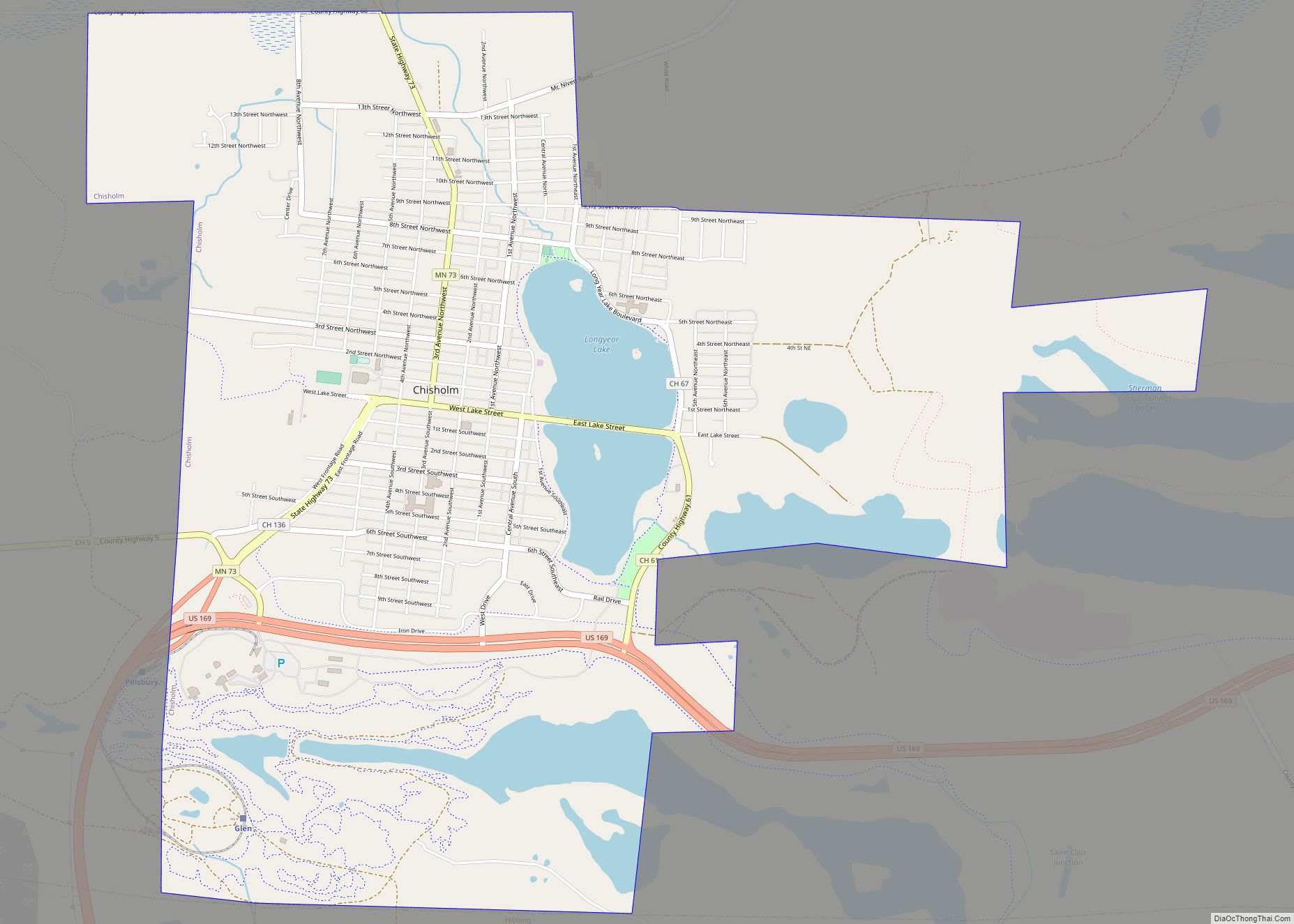
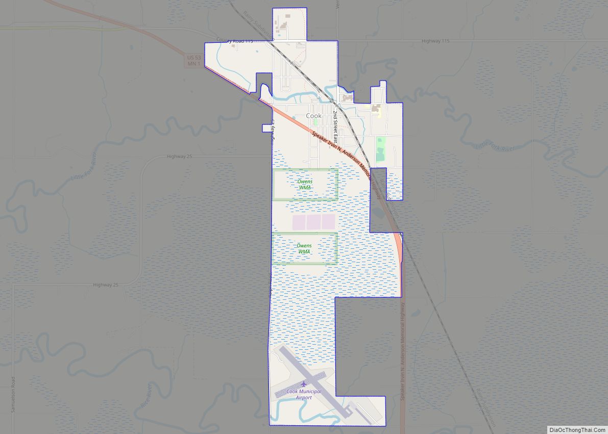
Online Interactive Map
Click on ![]() to view map in "full screen" mode.
to view map in "full screen" mode.
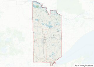
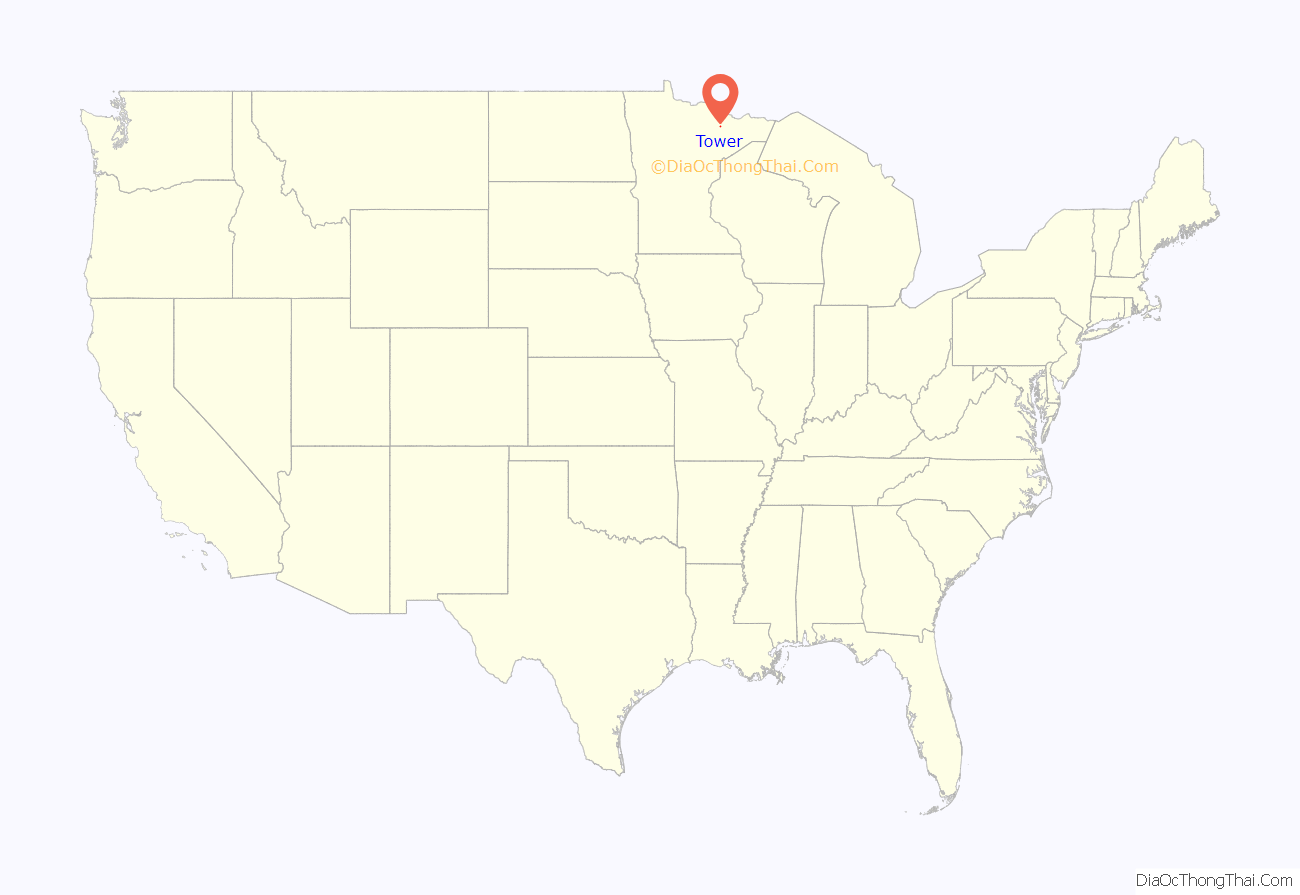
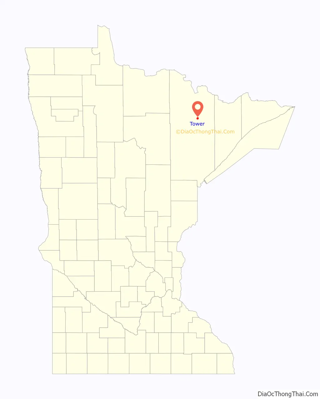
Tower location map. Where is Tower city?
History
The city was incorporated March 13, 1889, which makes it the oldest city in the Arrowhead region. It owes its establishment to the Soudan Mine, and was named after mining financier Charlemagne Tower. Tower is home to the Tower Train Museum; near the museum is McKinley Monument, the first erected in honor of former U.S. President William McKinley shortly after his assassination in 1901. President McKinley was in office from 1897 to 1901.
Tower set the Minnesota record for coldest temperature on February 2, 1996, when the temperature dropped to -60 °F (-51 °C). This was the lowest temperature ever recorded in the United States east of the Great Plains. Tower and the Embarrass Valley to the south are the coldest inhabited locations in the Lower 48 states, based on average winter temperatures.
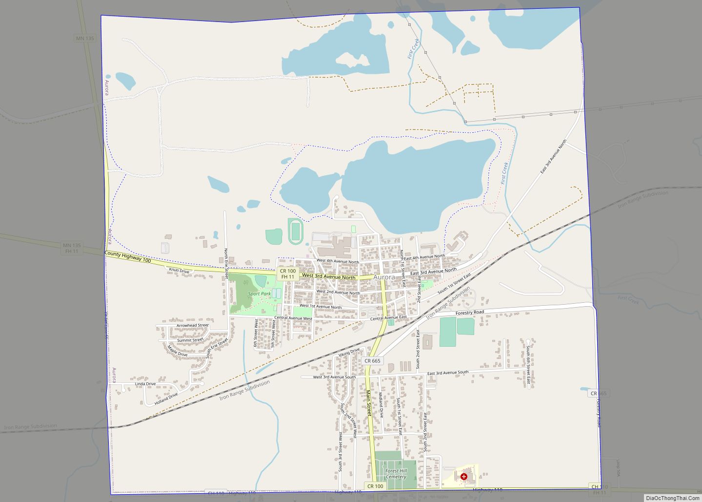
Tower Road Map
Tower city Satellite Map
Geography
According to the United States Census Bureau, the city has a total area of 3.41 square miles (8.83 km), 3.00 square miles (7.77 km) is land and 0.41 square miles (1.06 km) is water.
Climate
Tower has a humid continental climate (Köppen Dfb), with long, bitterly cold winters and warm summers. January averages 4.9 °F or −15.1 °C, and lows reach 0 °F or −17.8 °C on 67 nights annually. Highs only reach the freezing point 18–19 days during December to February, and in combination with a seasonal snowfall of 68.7 inches or 1.74 metres, snow cover is thick and long−lasting. Spring, and more especially autumn, are short but mild transition seasons. July averages 64.0 °F or 17.8 °C, with highs reaching 90 °F or 32.2 °C on only 3.2 days annually, with only about four-fifths of all years seeing temperatures that high. Summer nights are cool despite the warm days, with the average window for freezing temperatures August 25 thru June 22. Precipitation averages about 28.18 inches or 715.8 millimetres per year, and is concentrated in the warmer months. The all−time record high temperature is 101 °F (38.3 °C), while the all−time record low is −60 °F (−51.1 °C), a range of 161 °F (89 °C), the second highest temperature variation in the state behind Federal Dam, Minnesota. Tower is slightly colder than International Falls, but a half of a degree warmer overall than Embarrass.
See also
Map of Minnesota State and its subdivision:- Aitkin
- Anoka
- Becker
- Beltrami
- Benton
- Big Stone
- Blue Earth
- Brown
- Carlton
- Carver
- Cass
- Chippewa
- Chisago
- Clay
- Clearwater
- Cook
- Cottonwood
- Crow Wing
- Dakota
- Dodge
- Douglas
- Faribault
- Fillmore
- Freeborn
- Goodhue
- Grant
- Hennepin
- Houston
- Hubbard
- Isanti
- Itasca
- Jackson
- Kanabec
- Kandiyohi
- Kittson
- Koochiching
- Lac qui Parle
- Lake
- Lake of the Woods
- Lake Superior
- Le Sueur
- Lincoln
- Lyon
- Mahnomen
- Marshall
- Martin
- McLeod
- Meeker
- Mille Lacs
- Morrison
- Mower
- Murray
- Nicollet
- Nobles
- Norman
- Olmsted
- Otter Tail
- Pennington
- Pine
- Pipestone
- Polk
- Pope
- Ramsey
- Red Lake
- Redwood
- Renville
- Rice
- Rock
- Roseau
- Saint Louis
- Scott
- Sherburne
- Sibley
- Stearns
- Steele
- Stevens
- Swift
- Todd
- Traverse
- Wabasha
- Wadena
- Waseca
- Washington
- Watonwan
- Wilkin
- Winona
- Wright
- Yellow Medicine
- Alabama
- Alaska
- Arizona
- Arkansas
- California
- Colorado
- Connecticut
- Delaware
- District of Columbia
- Florida
- Georgia
- Hawaii
- Idaho
- Illinois
- Indiana
- Iowa
- Kansas
- Kentucky
- Louisiana
- Maine
- Maryland
- Massachusetts
- Michigan
- Minnesota
- Mississippi
- Missouri
- Montana
- Nebraska
- Nevada
- New Hampshire
- New Jersey
- New Mexico
- New York
- North Carolina
- North Dakota
- Ohio
- Oklahoma
- Oregon
- Pennsylvania
- Rhode Island
- South Carolina
- South Dakota
- Tennessee
- Texas
- Utah
- Vermont
- Virginia
- Washington
- West Virginia
- Wisconsin
- Wyoming