Taylors Falls is a city in Chisago County, Minnesota, United States, located at the junction of U.S. Highway 8 and Minnesota State Highway 95. The population was 1,055 at the 2020 census.
| Name: | Taylors Falls city |
|---|---|
| LSAD Code: | 25 |
| LSAD Description: | city (suffix) |
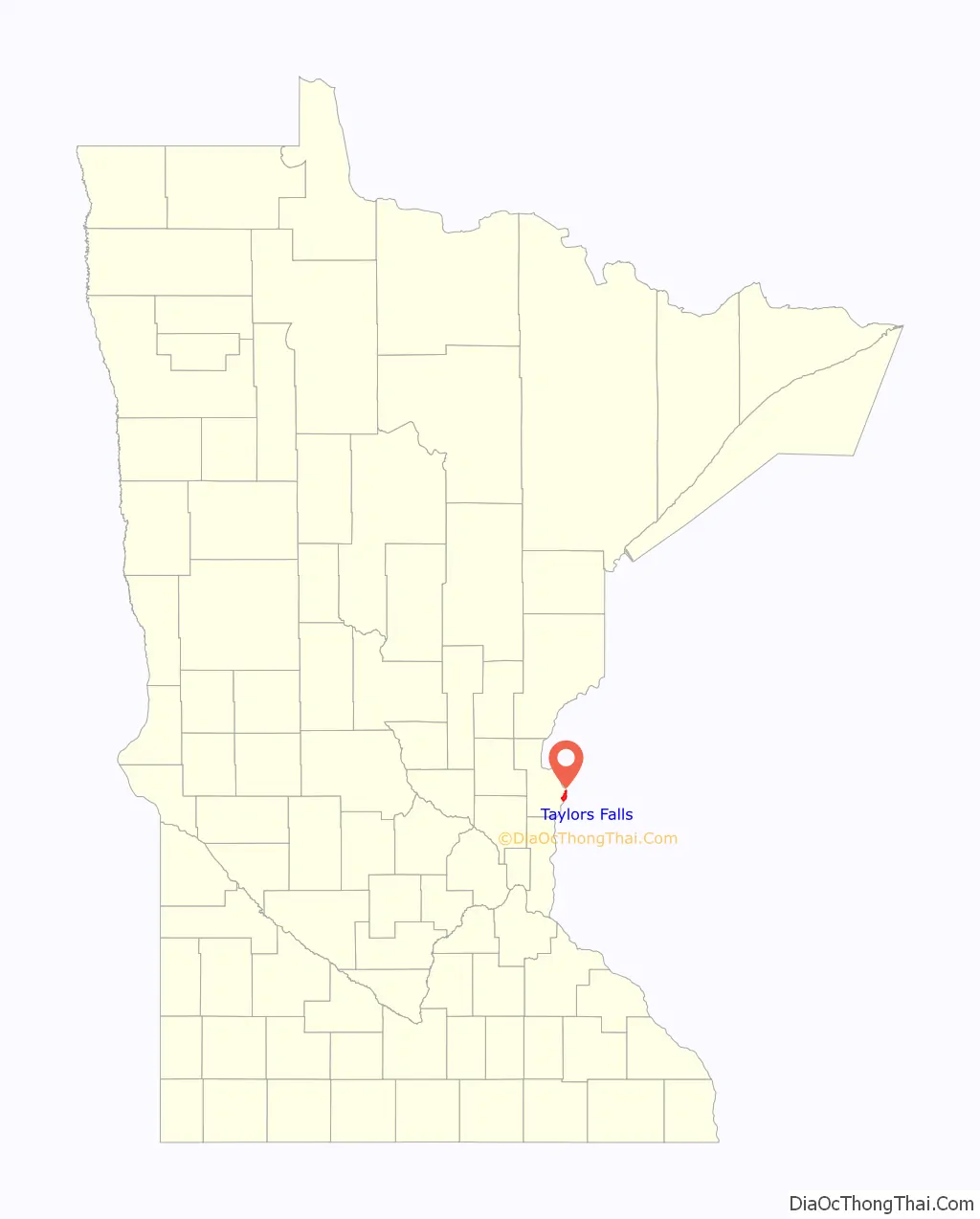
| State: | Minnesota |
| County: | Chisago County |
| Elevation: | 945 ft (288 m) |
| Total Area: | 4.236 sq mi (10.97 km²) |
| Land Area: | 3.941 sq mi (10.21 km²) |
| Water Area: | 0.295 sq mi (0.76 km²) |
| Total Population: | 1,055 |
| Population Density: | 267.7/sq mi (103.4/km²) |
| ZIP code: | 55084 |
| Area code: | 651 |
| FIPS code: | 2764318 |
| GNISfeature ID: | 2396034 |
| Website: | www.ci.taylors-falls.mn.us |
Online Interactive Map
Click on ![]() to view map in "full screen" mode.
to view map in "full screen" mode.
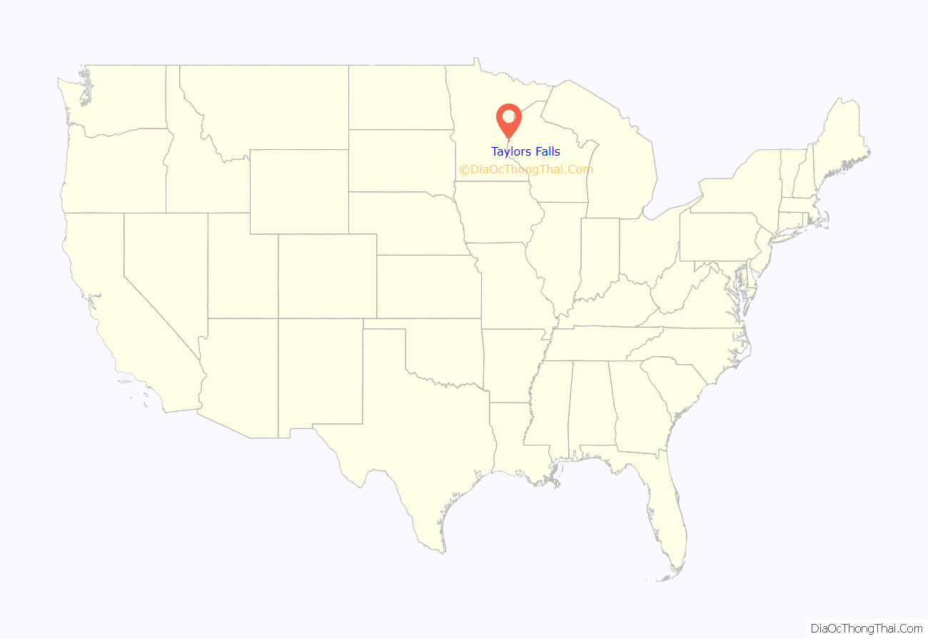
Taylors Falls location map. Where is Taylors Falls city?
History
Taylors Falls was platted in 1850 or 1851, and incorporated in 1858. The city was named for Jesse Taylor, a territorial politician. A post office has been in operation in Taylors Falls since 1851.
During the logging era, Taylors Falls was the site of numerous log jams, most notably the 1886 St. Croix river log jam, a major tourist attraction.
Taylors Falls Road Map
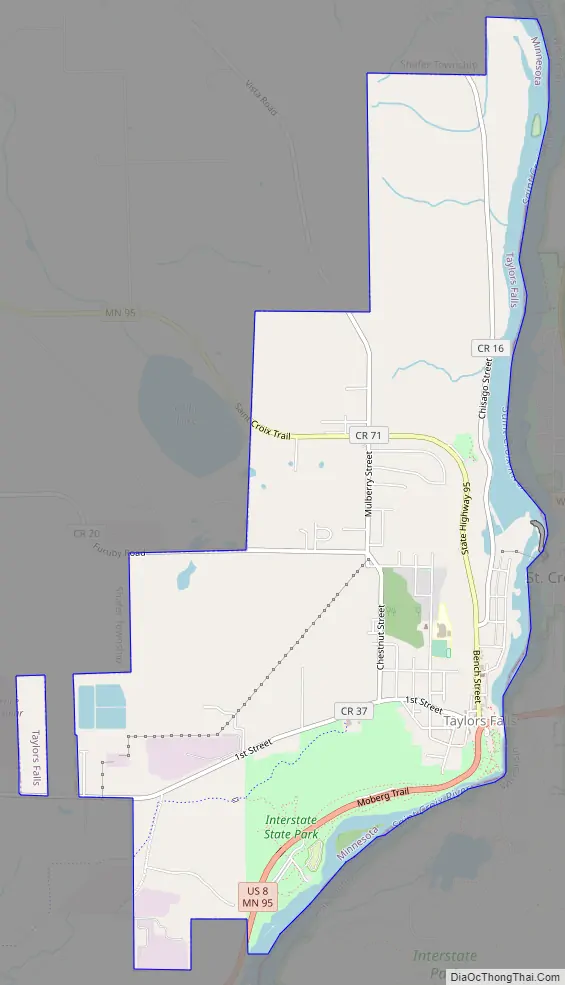
Taylors Falls city Satellite Map

Geography
According to the United States Census Bureau, the city has a total area of 4.24 square miles (10.98 km), of which 3.94 square miles (10.20 km) is land and 0.29 square miles (0.75 km) is water.
Taylors Falls is located adjacent to St. Croix Falls, Wisconsin, at the Dalles of the St. Croix River, an area of forested bluffs and high cliffs. The first interstate state park in the United States, aptly named Interstate Park, was jointly founded by the states of Minnesota and Wisconsin in 1895, and straddles the border of the two states immediately south of the city.
See also
Map of Minnesota State and its subdivision:- Aitkin
- Anoka
- Becker
- Beltrami
- Benton
- Big Stone
- Blue Earth
- Brown
- Carlton
- Carver
- Cass
- Chippewa
- Chisago
- Clay
- Clearwater
- Cook
- Cottonwood
- Crow Wing
- Dakota
- Dodge
- Douglas
- Faribault
- Fillmore
- Freeborn
- Goodhue
- Grant
- Hennepin
- Houston
- Hubbard
- Isanti
- Itasca
- Jackson
- Kanabec
- Kandiyohi
- Kittson
- Koochiching
- Lac qui Parle
- Lake
- Lake of the Woods
- Lake Superior
- Le Sueur
- Lincoln
- Lyon
- Mahnomen
- Marshall
- Martin
- McLeod
- Meeker
- Mille Lacs
- Morrison
- Mower
- Murray
- Nicollet
- Nobles
- Norman
- Olmsted
- Otter Tail
- Pennington
- Pine
- Pipestone
- Polk
- Pope
- Ramsey
- Red Lake
- Redwood
- Renville
- Rice
- Rock
- Roseau
- Saint Louis
- Scott
- Sherburne
- Sibley
- Stearns
- Steele
- Stevens
- Swift
- Todd
- Traverse
- Wabasha
- Wadena
- Waseca
- Washington
- Watonwan
- Wilkin
- Winona
- Wright
- Yellow Medicine
- Alabama
- Alaska
- Arizona
- Arkansas
- California
- Colorado
- Connecticut
- Delaware
- District of Columbia
- Florida
- Georgia
- Hawaii
- Idaho
- Illinois
- Indiana
- Iowa
- Kansas
- Kentucky
- Louisiana
- Maine
- Maryland
- Massachusetts
- Michigan
- Minnesota
- Mississippi
- Missouri
- Montana
- Nebraska
- Nevada
- New Hampshire
- New Jersey
- New Mexico
- New York
- North Carolina
- North Dakota
- Ohio
- Oklahoma
- Oregon
- Pennsylvania
- Rhode Island
- South Carolina
- South Dakota
- Tennessee
- Texas
- Utah
- Vermont
- Virginia
- Washington
- West Virginia
- Wisconsin
- Wyoming


