Map of Marion town, Mississippi

Map of Marion town, Mississippi

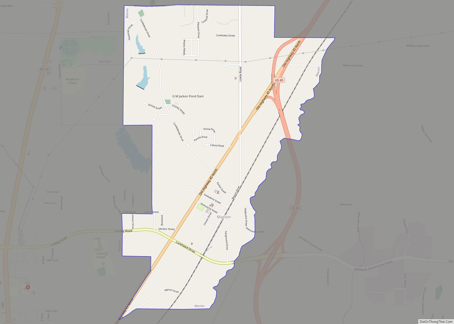
Marion is a town in Lauderdale County, Mississippi, United States. It is a northeastern suburb of Meridian, the county seat. The population of Marion was 1,479 at the 2010 census. Marion town overview: Name: Marion town LSAD Code: 43 LSAD Description: town (suffix) State: Mississippi County: Lauderdale County Elevation: 367 ft (112 m) Total Area: 3.62 sq mi (9.38 km²) … Read more

Map of Marietta town, Mississippi

Map of Marietta town, Mississippi

Marietta is a town in Prentiss County, Mississippi, United States. The population was 248 at the 2000 census. Marietta town overview: Name: Marietta town LSAD Code: 43 LSAD Description: town (suffix) State: Mississippi County: Prentiss County Elevation: 381 ft (116 m) Total Area: 1.78 sq mi (4.61 km²) Land Area: 1.78 sq mi (4.61 km²) Water Area: 0.00 sq mi (0.00 km²) Total Population: 198 Population … Read more

Map of Mantee village

Map of Mantee village

Mantee is a village in Webster County, Mississippi. The population was 232 at the 2010 census. Mantee village overview: Name: Mantee village LSAD Code: 47 LSAD Description: village (suffix) State: Mississippi County: Webster County Elevation: 335 ft (102 m) Total Area: 4.60 sq mi (11.93 km²) Land Area: 4.55 sq mi (11.79 km²) Water Area: 0.05 sq mi (0.13 km²) Total Population: 237 Population Density: 52.05/sq mi … Read more

Map of Mantachie town

Map of Mantachie town

Mantachie is a town in Itawamba County, Mississippi, United States. The population was 1,121 in the 2020 census. It is located 14 miles (23 km) northeast of Tupelo at the intersection of Mississippi Highways 363 and 371 and 5 miles (8 km) north of Interstate 22. The town began as a crossroads store owned and operated by … Read more

Map of McLain town

Map of McLain town

McLain is a town in Greene County, Mississippi, United States. The population was 441 at the 2010 census, down from 603 at the 2000 census. McLain town overview: Name: McLain town LSAD Code: 43 LSAD Description: town (suffix) State: Mississippi County: Greene County Elevation: 72 ft (22 m) Total Area: 3.45 sq mi (8.95 km²) Land Area: 3.39 sq mi (8.78 km²) Water … Read more

Map of McCool town

Map of McCool town

McCool is a town in Attala County, Mississippi. The population was 135 at the 2010 census. McCool town overview: Name: McCool town LSAD Code: 43 LSAD Description: town (suffix) State: Mississippi County: Attala County Elevation: 466 ft (142 m) Total Area: 0.94 sq mi (2.44 km²) Land Area: 0.94 sq mi (2.43 km²) Water Area: 0.00 sq mi (0.01 km²) Total Population: 103 Population Density: 109.69/sq mi … Read more

Map of McComb city

Map of McComb city, Mississippi

McComb is a city in Pike County, Mississippi, United States. The city is approximately 80 miles (130 km) south of Jackson. As of the 2010 census, the city had a total population of 12,790. It is the principal city of the McComb, Mississippi Micropolitan Statistical Area. McComb city overview: Name: McComb city LSAD Code: 25 LSAD … Read more

Map of Mayersville town

Map of Mayersville town

Mayersville is a town on the east bank of the Mississippi River, and the county seat for Issaquena County, Mississippi, United States. It is located in the Mississippi Delta region, known for cotton cultivation in the antebellum era. Once the trading center for the county, the town was superseded when railroads were built into the … Read more

Map of Mathiston town

Map of Mathiston town

Mathiston is a town in Choctaw and Webster counties, Mississippi. The population was 698 at the 2010 census. Mathiston town overview: Name: Mathiston town LSAD Code: 43 LSAD Description: town (suffix) State: Mississippi County: Choctaw County, Webster County Elevation: 420 ft (128 m) Total Area: 2.53 sq mi (6.56 km²) Land Area: 2.50 sq mi (6.48 km²) Water Area: 0.03 sq mi (0.07 km²) Total Population: … Read more

Map of Meadville town, Mississippi

Map of Meadville town, Mississippi

Meadville is a town in and the county seat of Franklin County, Mississippi, United States, in the southwest part of the state. The population was 449 at the 2010 census, down from 519 at the 2000 census. It is situated north of the Homochitto River, which runs from the northeast to the southwest through the … Read more

Map of Merigold town

Map of Merigold town

Merigold (sometimes misspelled as Marigold or Merrigold) is a town in Bolivar County, Mississippi, United States. Per the 2020 census, the population was 379. Merigold town overview: Name: Merigold town LSAD Code: 43 LSAD Description: town (suffix) State: Mississippi County: Bolivar County Elevation: 144 ft (44 m) Total Area: 0.97 sq mi (2.51 km²) Land Area: 0.97 sq mi (2.51 km²) Water Area: … Read more

Map of Meridian city, Mississippi

Map of Meridian city, Mississippi

Meridian is the seventh largest city in the U.S. state of Mississippi, with a population of 41,148 at the 2010 census and an estimated population in 2018 of 36,347. It is the county seat of Lauderdale County and the principal city of the Meridian, Mississippi Micropolitan Statistical Area. Along major highways, the city is 93 mi … Read more