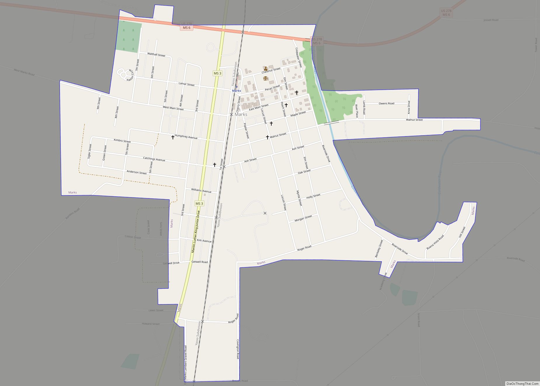
Marks is a city in and the county seat of Quitman County, Mississippi. As of the 2010 census, the city population was 1,735.
| Name: | Marks city |
|---|---|
| LSAD Code: | 25 |
| LSAD Description: | city (suffix) |
| State: | Mississippi |
| County: | Quitman County |
| Elevation: | 161 ft (49 m) |
| Total Area: | 1.28 sq mi (3.32 km²) |
| Land Area: | 1.28 sq mi (3.32 km²) |
| Water Area: | 0.00 sq mi (0.00 km²) |
| Total Population: | 1,444 |
| Population Density: | 1,125.49/sq mi (434.69/km²) |
| ZIP code: | 38646 |
| Area code: | 662 |
| FIPS code: | 2845240 |
| GNISfeature ID: | 0673138 |
Online Interactive Map
Click on ![]() to view map in "full screen" mode.
to view map in "full screen" mode.
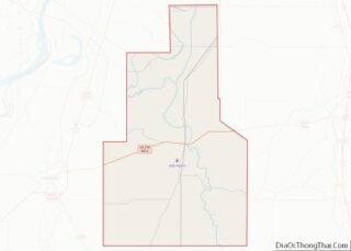
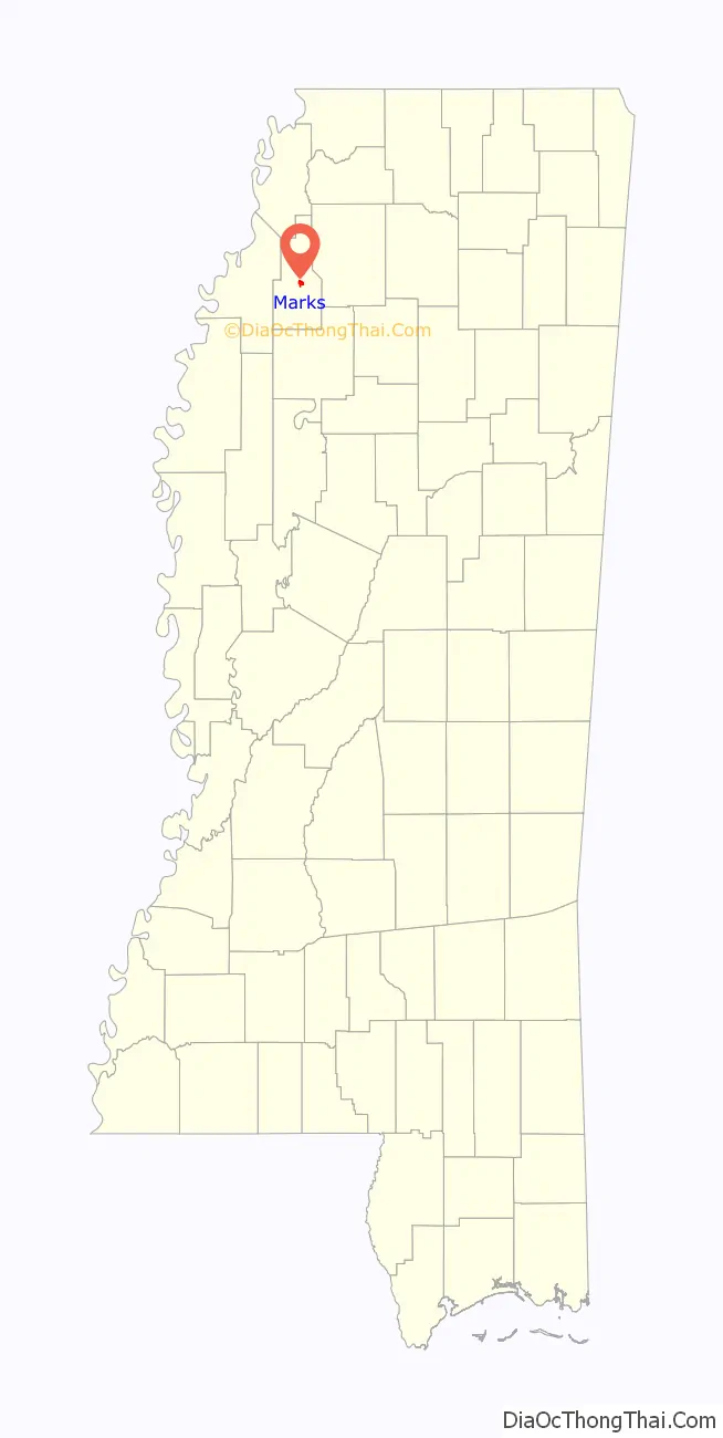
Marks location map. Where is Marks city?

History
The town of Marks was named after Leopold Marks (1851-1910) who left Germany to avoid conscription by the German army. He arrived in New York in 1868. Marks, a Jew, became Quitman County’s first representative to the state legislature and served for eight years. He encouraged the Yazoo and Mississippi Valley Railroad to come to the area by giving the railroad company, without cost, the right-of-way through his plantation plus 10 acres (40,000 m) of land. Leopold Marks’ son Henry donated land to the town to be used as a cemetery.
The official “founding” of the town is considered to be May 12, 1907; on May 12, 2007, the town celebrated its centennial.
On September 26, 1913 a black man named Walter Brownloe, accused of attacking a white farmer’s wife, was taken from the town prison by a mob and hanged.
Marks was the starting point of Dr. Martin Luther King Jr’s Poor People’s Campaign in 1968.
Amtrak’s City of New Orleans began stopping at Marks on April 4, 2018. A new station was built for passengers to get on or get off.
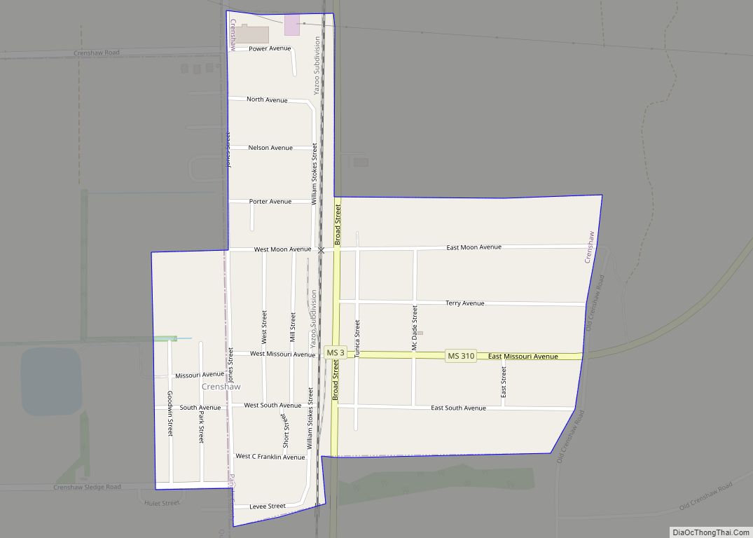
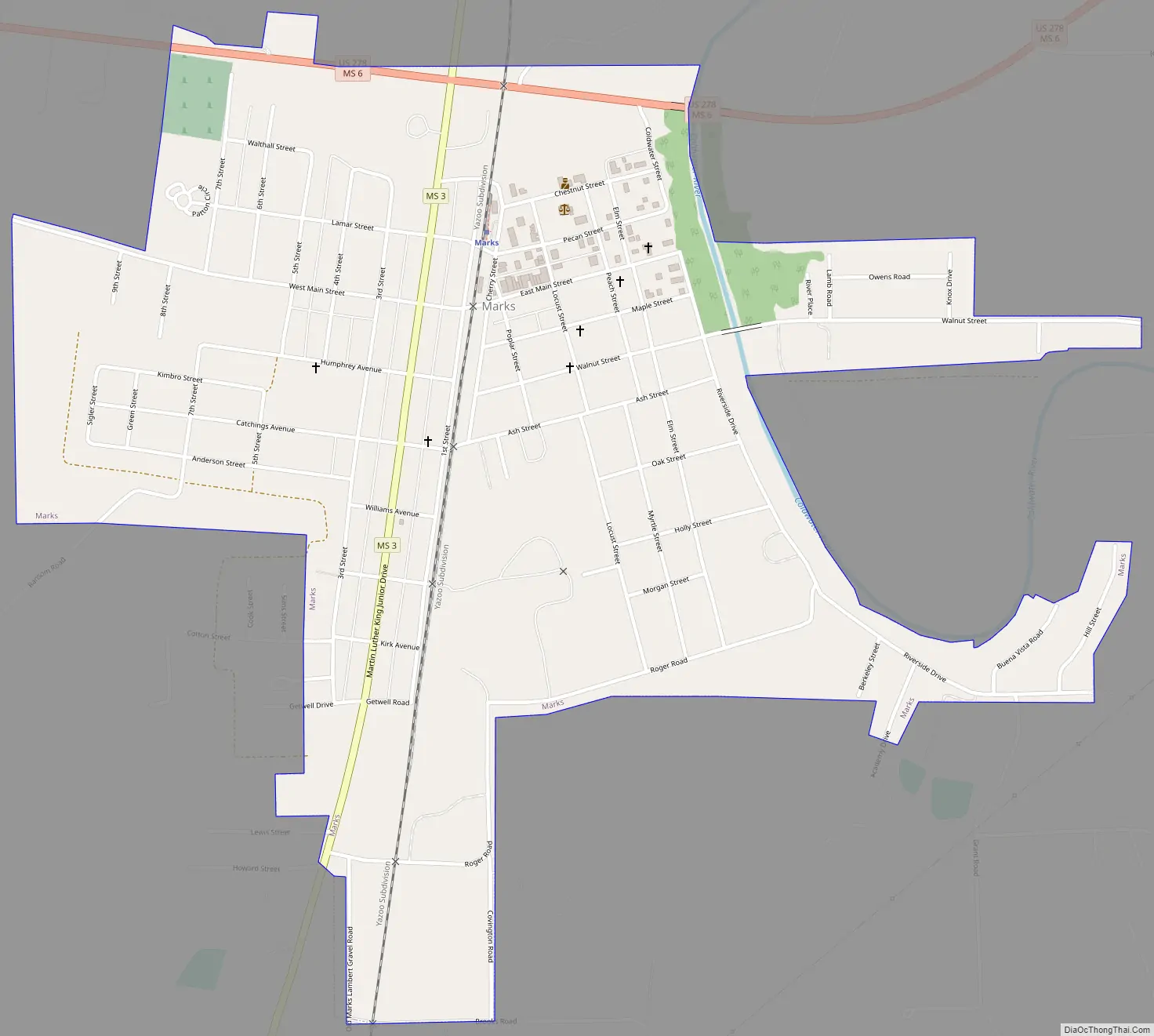
Marks Road Map
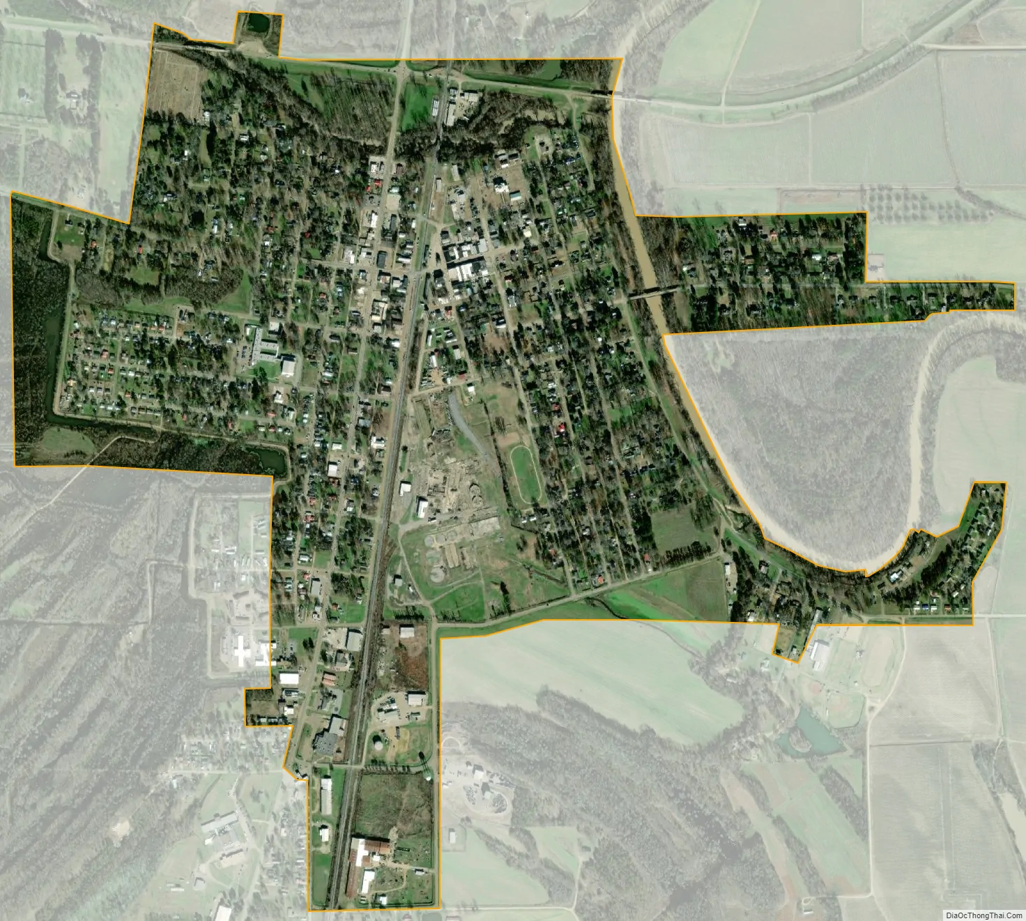
Marks city Satellite Map
Geography
According to the United States Census Bureau, the city has a total area of 1.0 square mile (2.6 km), all land.
Climate
See also
Map of Mississippi State and its subdivision:- Adams
- Alcorn
- Amite
- Attala
- Benton
- Bolivar
- Calhoun
- Carroll
- Chickasaw
- Choctaw
- Claiborne
- Clarke
- Clay
- Coahoma
- Copiah
- Covington
- Desoto
- Forrest
- Franklin
- George
- Greene
- Grenada
- Hancock
- Harrison
- Hinds
- Holmes
- Humphreys
- Issaquena
- Itawamba
- Jackson
- Jasper
- Jefferson
- Jefferson Davis
- Jones
- Kemper
- Lafayette
- Lamar
- Lauderdale
- Lawrence
- Leake
- Lee
- Leflore
- Lincoln
- Lowndes
- Madison
- Marion
- Marshall
- Monroe
- Montgomery
- Neshoba
- Newton
- Noxubee
- Oktibbeha
- Panola
- Pearl River
- Perry
- Pike
- Pontotoc
- Prentiss
- Quitman
- Rankin
- Scott
- Sharkey
- Simpson
- Smith
- Stone
- Sunflower
- Tallahatchie
- Tate
- Tippah
- Tishomingo
- Tunica
- Union
- Walthall
- Warren
- Washington
- Wayne
- Webster
- Wilkinson
- Winston
- Yalobusha
- Yazoo
- Alabama
- Alaska
- Arizona
- Arkansas
- California
- Colorado
- Connecticut
- Delaware
- District of Columbia
- Florida
- Georgia
- Hawaii
- Idaho
- Illinois
- Indiana
- Iowa
- Kansas
- Kentucky
- Louisiana
- Maine
- Maryland
- Massachusetts
- Michigan
- Minnesota
- Mississippi
- Missouri
- Montana
- Nebraska
- Nevada
- New Hampshire
- New Jersey
- New Mexico
- New York
- North Carolina
- North Dakota
- Ohio
- Oklahoma
- Oregon
- Pennsylvania
- Rhode Island
- South Carolina
- South Dakota
- Tennessee
- Texas
- Utah
- Vermont
- Virginia
- Washington
- West Virginia
- Wisconsin
- Wyoming