Mathiston is a town in Choctaw and Webster counties, Mississippi. The population was 698 at the 2010 census.
| Name: | Mathiston town |
|---|---|
| LSAD Code: | 43 |
| LSAD Description: | town (suffix) |
| State: | Mississippi |
| County: | Choctaw County, Webster County |
| Elevation: | 420 ft (128 m) |
| Total Area: | 2.53 sq mi (6.56 km²) |
| Land Area: | 2.50 sq mi (6.48 km²) |
| Water Area: | 0.03 sq mi (0.07 km²) |
| Total Population: | 831 |
| Population Density: | 332.00/sq mi (128.21/km²) |
| ZIP code: | 39752 |
| Area code: | 662 |
| FIPS code: | 2845720 |
| GNISfeature ID: | 0673240 |
Online Interactive Map
Click on ![]() to view map in "full screen" mode.
to view map in "full screen" mode.
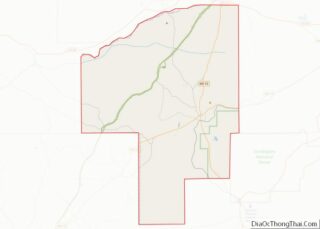
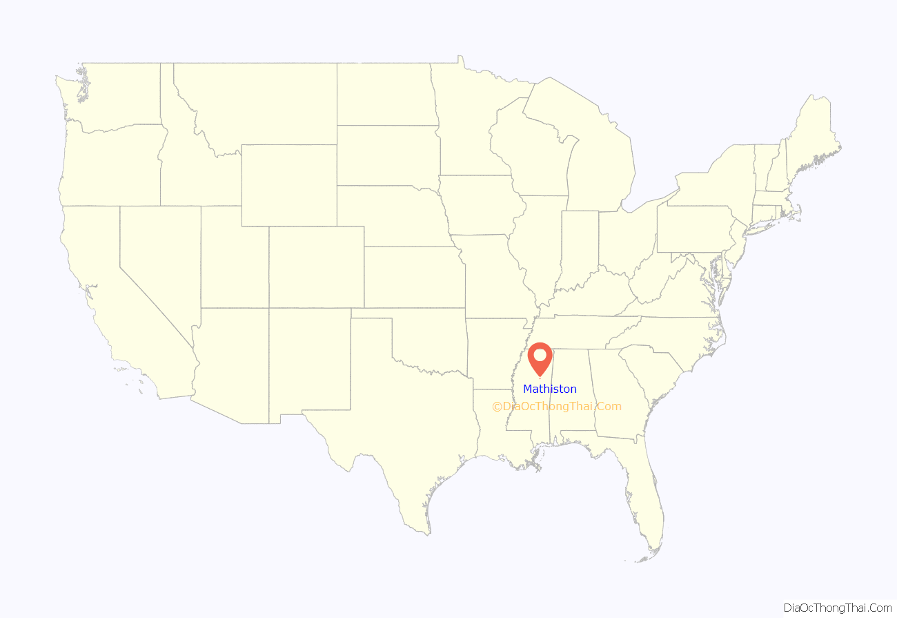
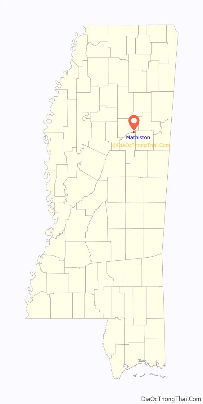
Mathiston location map. Where is Mathiston town?
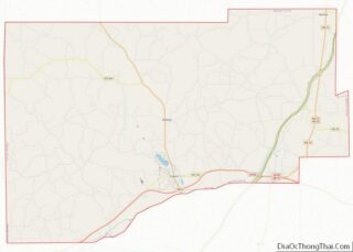
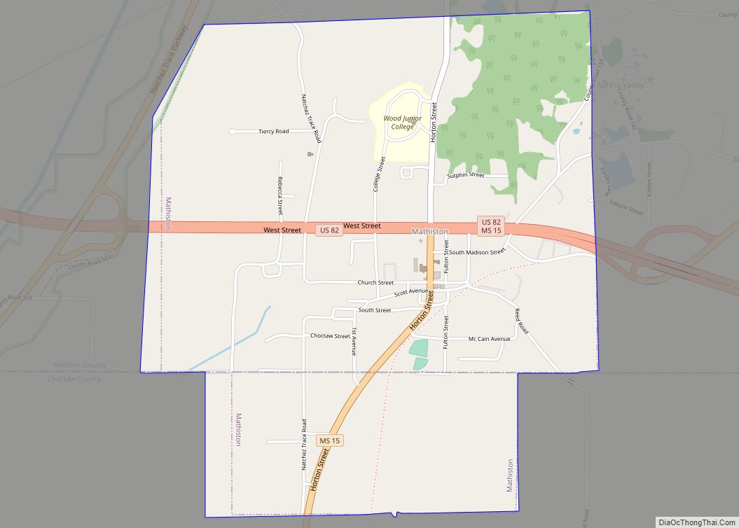
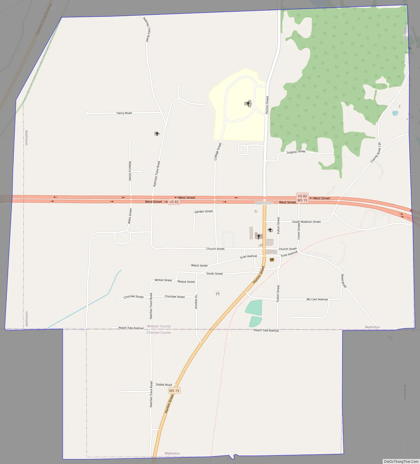
Mathiston Road Map
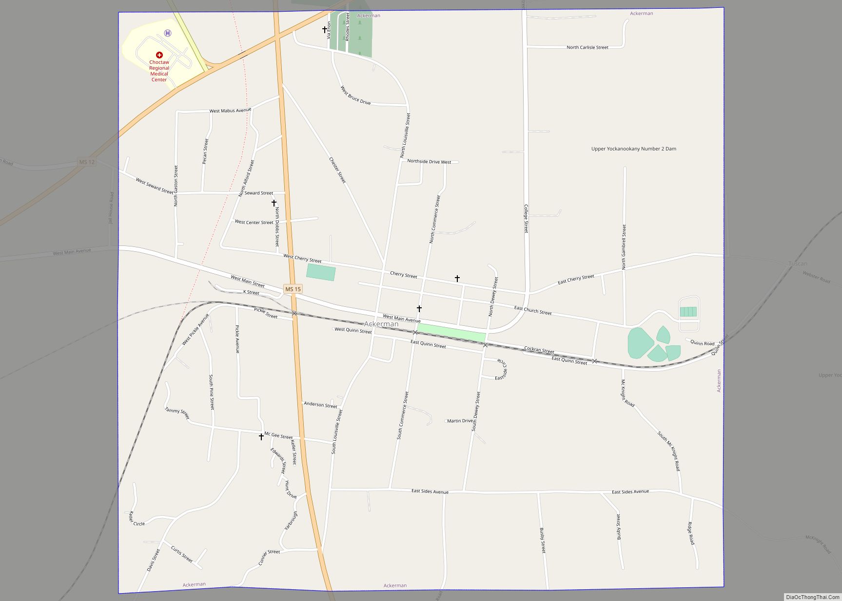
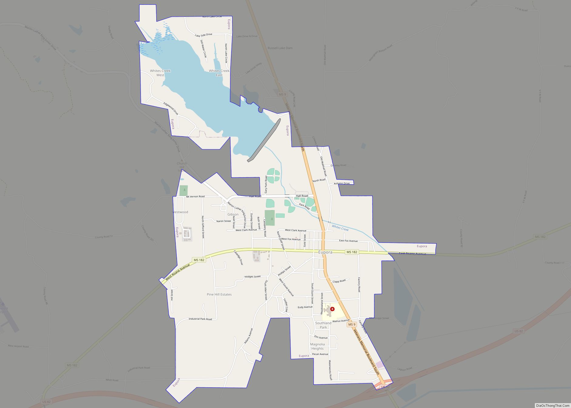
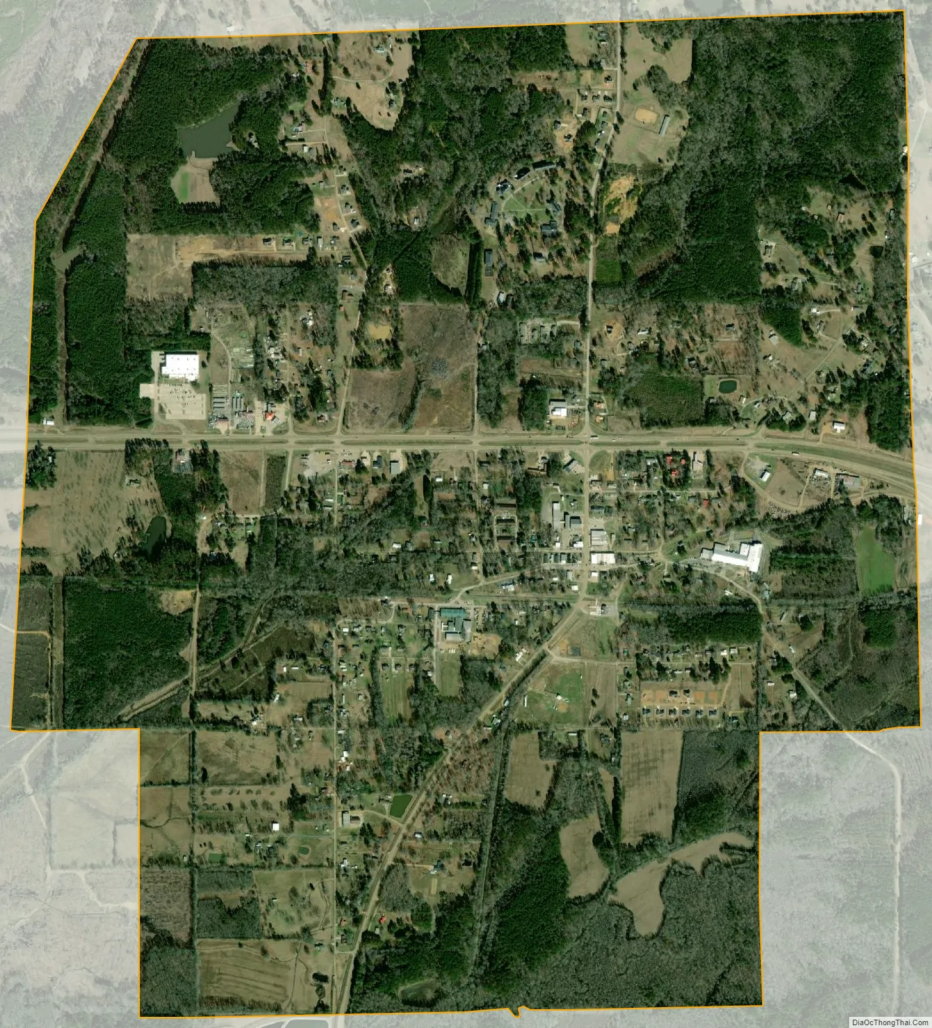
Mathiston city Satellite Map
Geography
Most of the town is in Webster County with a portion on the south side extending into Choctaw County. In the 2000 census, 643 of the town’s 720 residents (89.3%) lived in Webster County and 77 (10.7%) in Choctaw County.
According to the United States Census Bureau, the town has a total area of 2.5 square miles (6.4 km), all land.
Climate
The climate in this area is characterized by hot, humid summers and generally mild to cool winters. According to the Köppen Climate Classification system, Mathiston has a humid subtropical climate, abbreviated “Cfa” on climate maps.
See also
Map of Mississippi State and its subdivision:- Adams
- Alcorn
- Amite
- Attala
- Benton
- Bolivar
- Calhoun
- Carroll
- Chickasaw
- Choctaw
- Claiborne
- Clarke
- Clay
- Coahoma
- Copiah
- Covington
- Desoto
- Forrest
- Franklin
- George
- Greene
- Grenada
- Hancock
- Harrison
- Hinds
- Holmes
- Humphreys
- Issaquena
- Itawamba
- Jackson
- Jasper
- Jefferson
- Jefferson Davis
- Jones
- Kemper
- Lafayette
- Lamar
- Lauderdale
- Lawrence
- Leake
- Lee
- Leflore
- Lincoln
- Lowndes
- Madison
- Marion
- Marshall
- Monroe
- Montgomery
- Neshoba
- Newton
- Noxubee
- Oktibbeha
- Panola
- Pearl River
- Perry
- Pike
- Pontotoc
- Prentiss
- Quitman
- Rankin
- Scott
- Sharkey
- Simpson
- Smith
- Stone
- Sunflower
- Tallahatchie
- Tate
- Tippah
- Tishomingo
- Tunica
- Union
- Walthall
- Warren
- Washington
- Wayne
- Webster
- Wilkinson
- Winston
- Yalobusha
- Yazoo
- Alabama
- Alaska
- Arizona
- Arkansas
- California
- Colorado
- Connecticut
- Delaware
- District of Columbia
- Florida
- Georgia
- Hawaii
- Idaho
- Illinois
- Indiana
- Iowa
- Kansas
- Kentucky
- Louisiana
- Maine
- Maryland
- Massachusetts
- Michigan
- Minnesota
- Mississippi
- Missouri
- Montana
- Nebraska
- Nevada
- New Hampshire
- New Jersey
- New Mexico
- New York
- North Carolina
- North Dakota
- Ohio
- Oklahoma
- Oregon
- Pennsylvania
- Rhode Island
- South Carolina
- South Dakota
- Tennessee
- Texas
- Utah
- Vermont
- Virginia
- Washington
- West Virginia
- Wisconsin
- Wyoming