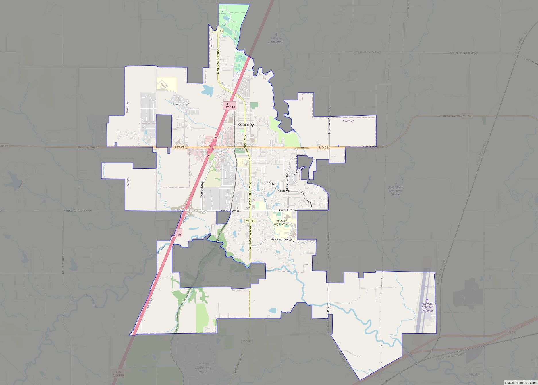
Kearney /ˈkɑːrni/ is a city in Clay County, Missouri, United States. The population per the 2020 U.S. Census was 10,404. The city was the birthplace of Jesse James, and there is an annual festival in the third weekend of September to recognize the outlaw. It is part of the Kansas City metropolitan area. Kearney city ... Read more
Missouri Cities and Places
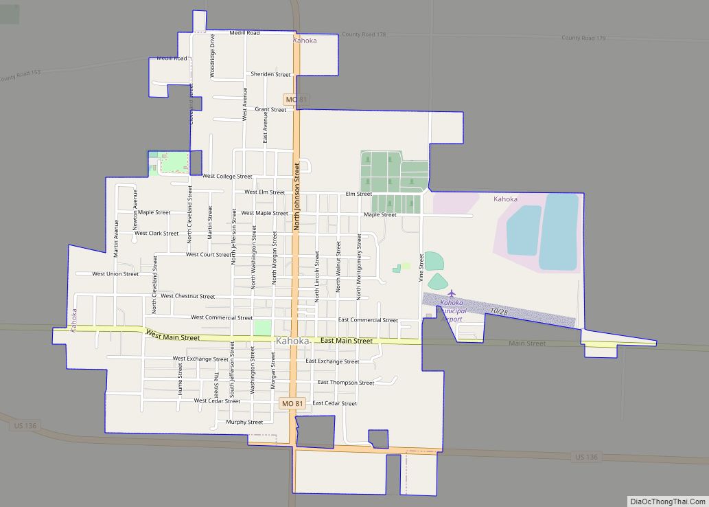
Kahoka is a city in and the county seat of Clark County, in the northeast tip of Missouri, United States. As of the 2020 census, its population was 1,961. Kahoka city overview: Name: Kahoka city LSAD Code: 25 LSAD Description: city (suffix) State: Missouri County: Clark County Elevation: 696 ft (212 m) Total Area: 1.62 sq mi (4.19 km²) Land ... Read more
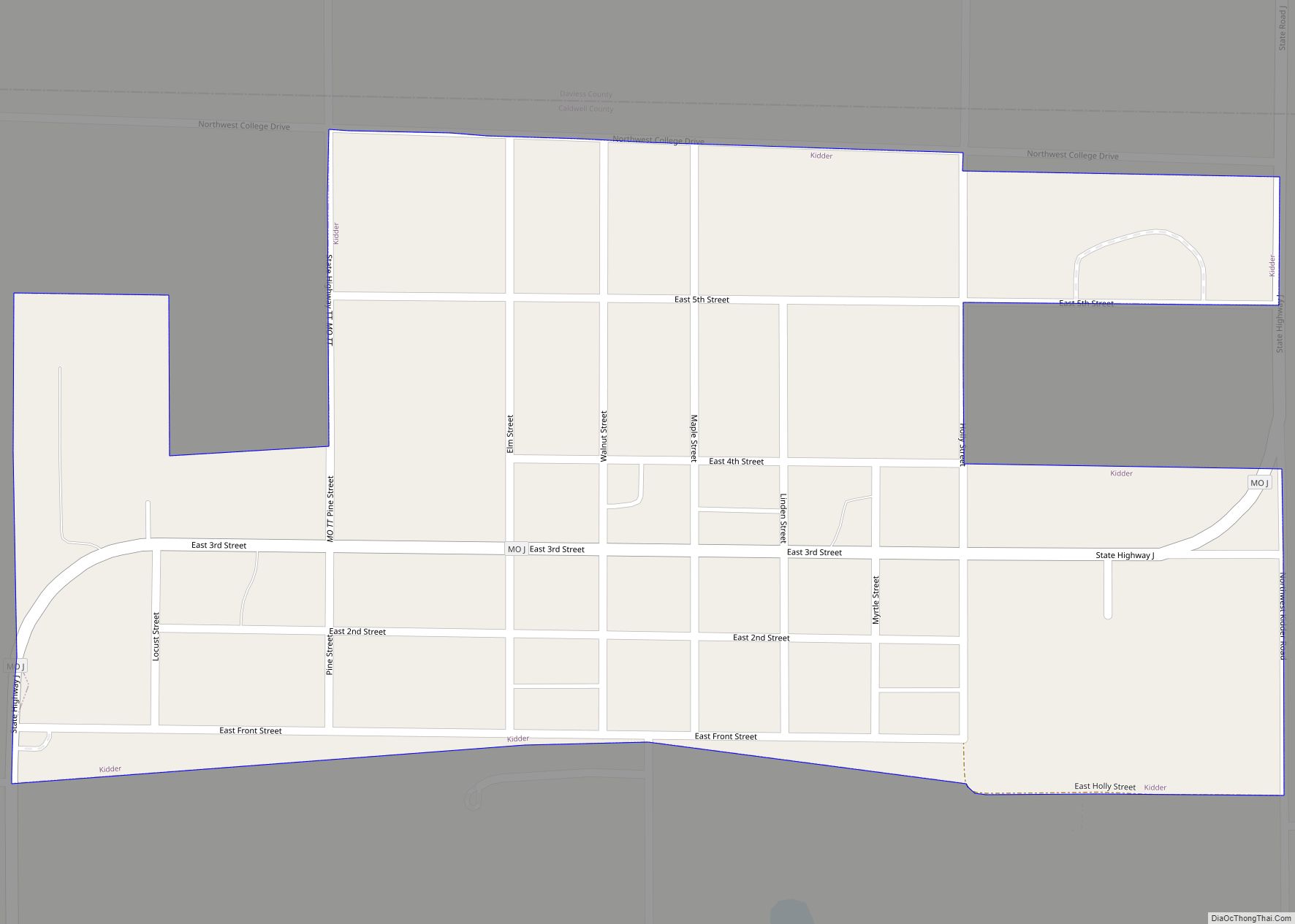
Kidder is a city in northwest Caldwell County, Missouri, The population was 267 at the 2020 census. The city was laid out in 1860 by H.B. Kidder of the Kidder Land Company in Boston, which was seeking to encourage non-slave owning European immigrants to settle along the Hannibal and St. Joseph Railroad which at the ... Read more
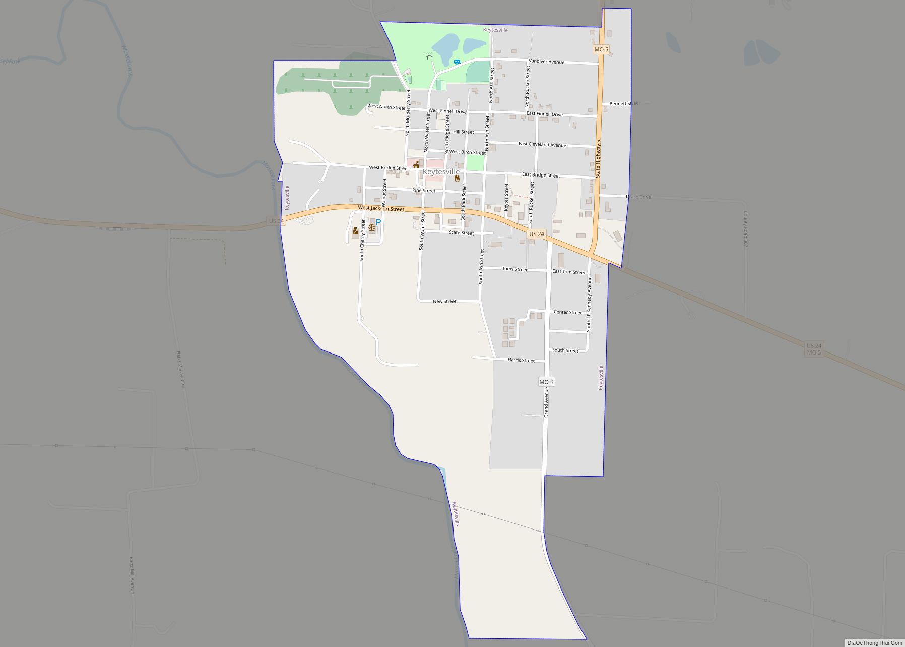
Keytesville is a city in and the county seat of Chariton County, Missouri, United States. The population was 440 as of the 2020 census. Keytesville is the hometown of U.S. Army General Maxwell D. Taylor, who commanded the “Screaming Eagles” 101st Airborne division during the Normandy invasion of World War II. Confederate General Sterling Price, ... Read more
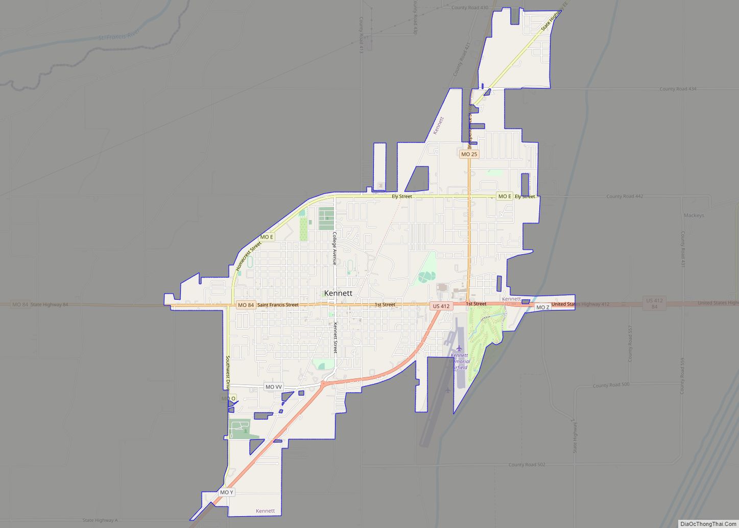
Kennett is a city in and the county seat of Dunklin County, Missouri, United States. The city is located in the southeast corner (or “Bootheel”) of Missouri, 4 miles (6.4 km) east of Arkansas and 20 miles (32 km) from the Mississippi River. It has a population of 10,932 according to the 2010 Census. Kennett is the ... Read more
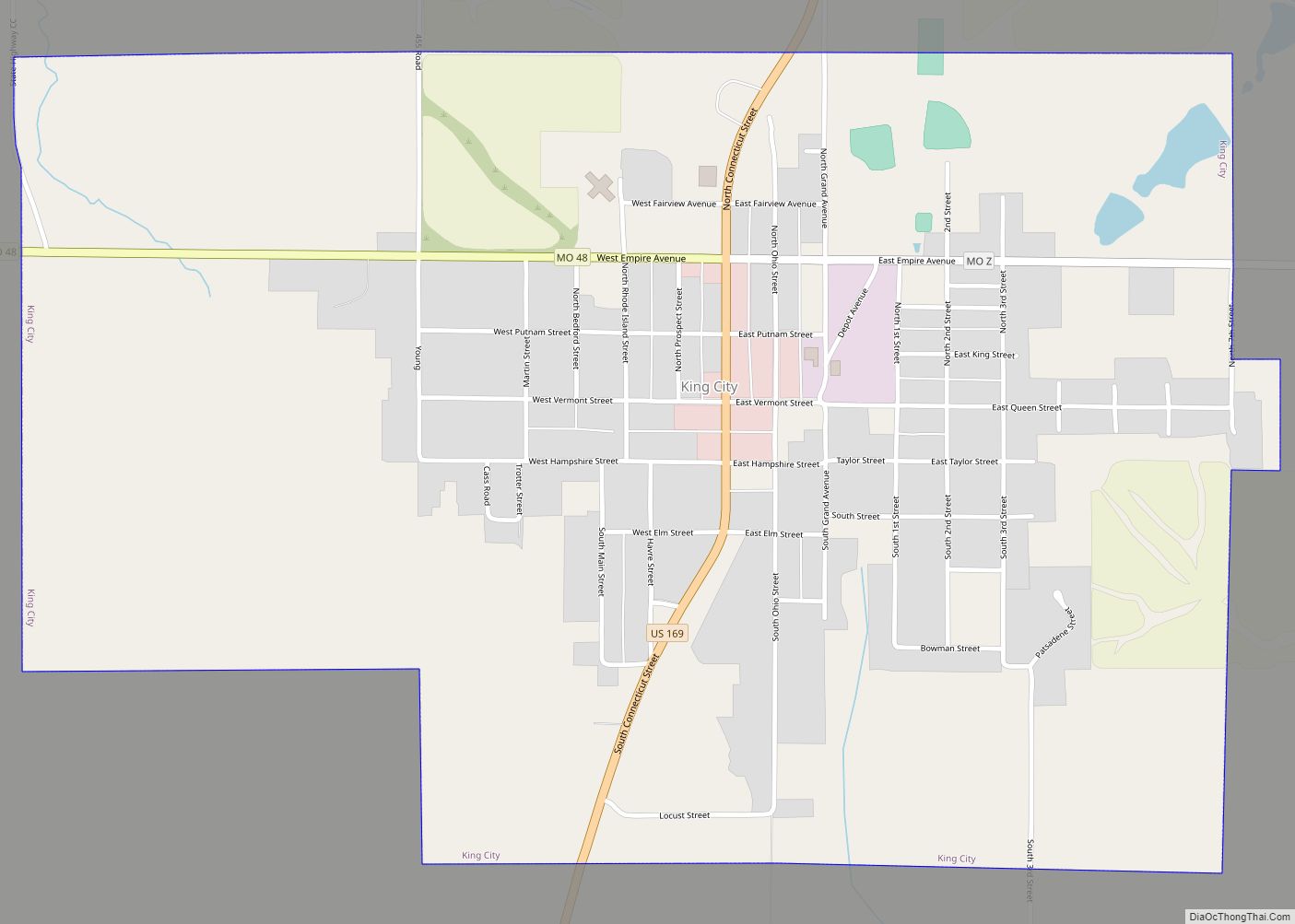
King City is a city in southwest Gentry County, Missouri, United States. The population was 799 at the 2020 census. King City city overview: Name: King City city LSAD Code: 25 LSAD Description: city (suffix) State: Missouri County: Gentry County Elevation: 1,109 ft (338 m) Total Area: 1.38 sq mi (3.58 km²) Land Area: 1.38 sq mi (3.58 km²) Water Area: 0.00 sq mi (0.00 km²) ... Read more
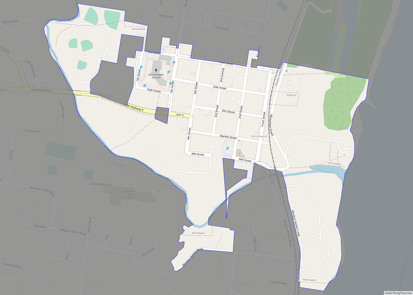
Kimmswick is a city in Jefferson County, Missouri, United States. The population was 157 at the 2010 census. Kimmswick city overview: Name: Kimmswick city LSAD Code: 25 LSAD Description: city (suffix) State: Missouri County: Jefferson County Elevation: 407 ft (124 m) Total Area: 0.24 sq mi (0.61 km²) Land Area: 0.23 sq mi (0.61 km²) Water Area: 0.00 sq mi (0.00 km²) Total Population: 133 Population ... Read more
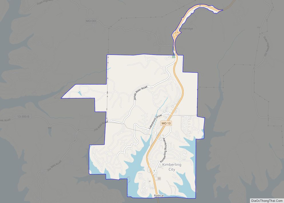
Kimberling City is a city in Stone County, Missouri, United States. The population was 2,344 at the 2020 census. Kimberling City city overview: Name: Kimberling City city LSAD Code: 25 LSAD Description: city (suffix) State: Missouri County: Stone County Elevation: 951 ft (290 m) Total Area: 3.86 sq mi (10.00 km²) Land Area: 3.50 sq mi (9.08 km²) Water Area: 0.36 sq mi (0.93 km²) Total ... Read more
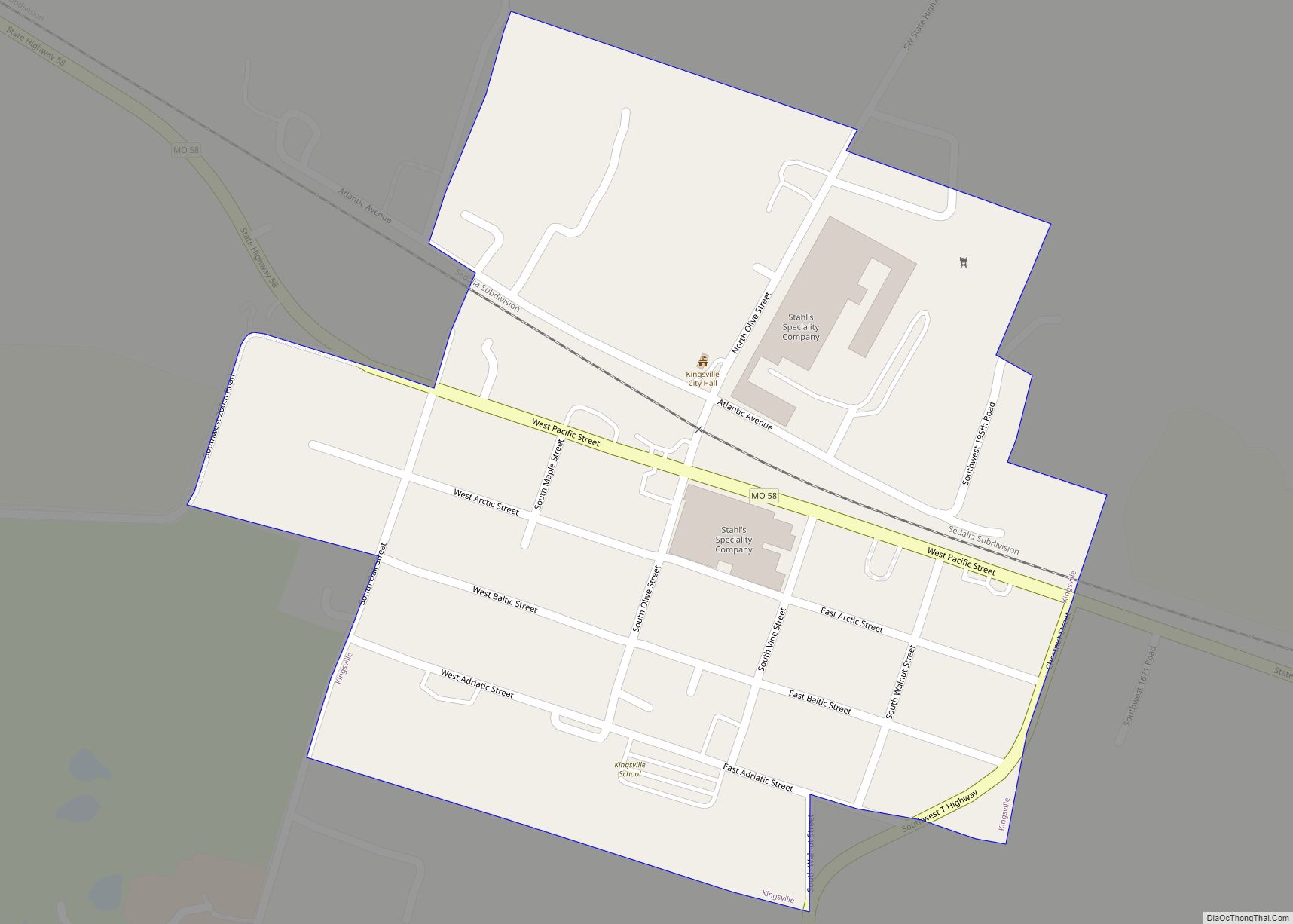
Kingsville is a city in west central Johnson County, Missouri, United States. The population was 245 at the 2020 census. Kingsville city overview: Name: Kingsville city LSAD Code: 25 LSAD Description: city (suffix) State: Missouri County: Johnson County Elevation: 912 ft (278 m) Total Area: 0.31 sq mi (0.80 km²) Land Area: 0.31 sq mi (0.80 km²) Water Area: 0.00 sq mi (0.00 km²) Total Population: ... Read more
Kingston is a city in Caldwell County, Missouri, and is part of the Kansas City metropolitan area with the United States. The population was 290 at the 2020 census. It is the county seat of Caldwell County. Kingston city overview: Name: Kingston city LSAD Code: 25 LSAD Description: city (suffix) State: Missouri County: Caldwell County ... Read more
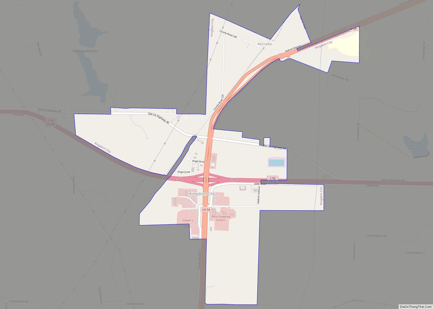
Kingdom City is a village in Callaway County, Missouri, United States. It is part of the Jefferson City Metropolitan Statistical Area. The population was 128 at the 2010 census. The village lies north of the intersection of Interstate 70 and U.S. Route 54. Kingdom City village overview: Name: Kingdom City village LSAD Code: 47 LSAD ... Read more
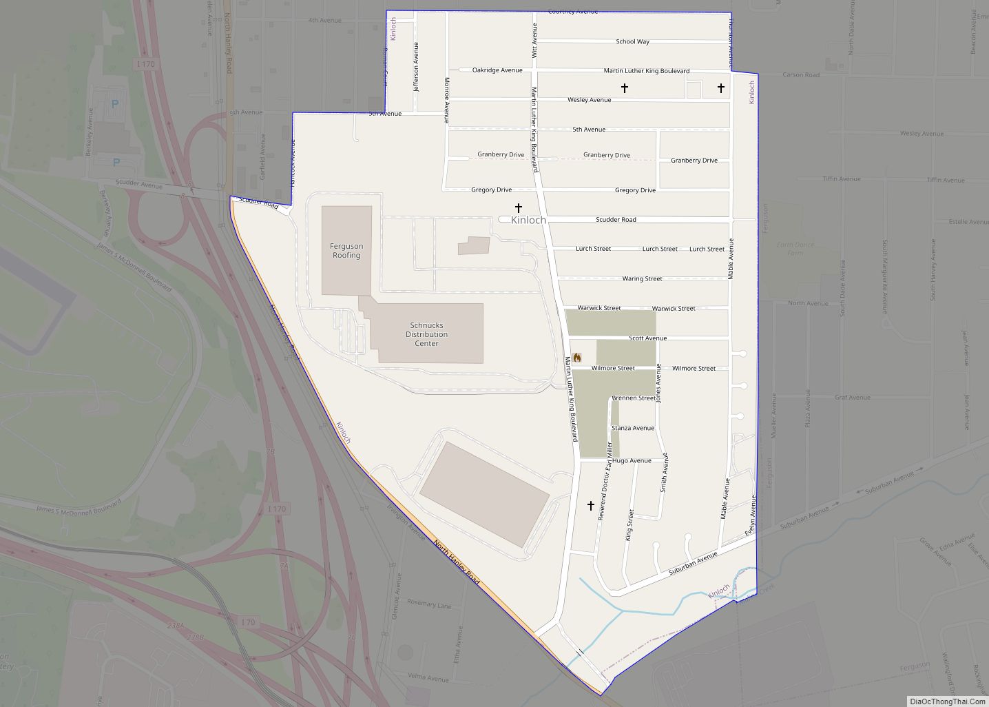
Kinloch is a city in St. Louis County, Missouri, United States. The population was 298 as of the 2010 census. The oldest African-American community to be incorporated in Missouri, Kinloch was home to a vibrant and flourishing black community for much of the 19th and 20th century. It began to decline in the 1980s, when ... Read more
