Kahoka is a city in and the county seat of Clark County, in the northeast tip of Missouri, United States. As of the 2020 census, its population was 1,961.
| Name: | Kahoka city |
|---|---|
| LSAD Code: | 25 |
| LSAD Description: | city (suffix) |
| State: | Missouri |
| County: | Clark County |
| Elevation: | 696 ft (212 m) |
| Total Area: | 1.62 sq mi (4.19 km²) |
| Land Area: | 1.59 sq mi (4.11 km²) |
| Water Area: | 0.03 sq mi (0.08 km²) |
| Total Population: | 1,961 |
| Population Density: | 1,236.44/sq mi (477.46/km²) |
| ZIP code: | 63445 |
| Area code: | 660 |
| FIPS code: | 2937790 |
| GNISfeature ID: | 2395484 |
Online Interactive Map
Click on ![]() to view map in "full screen" mode.
to view map in "full screen" mode.
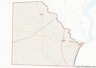
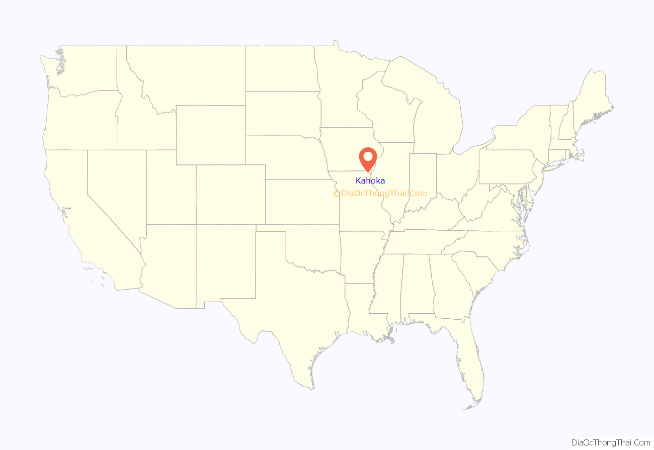
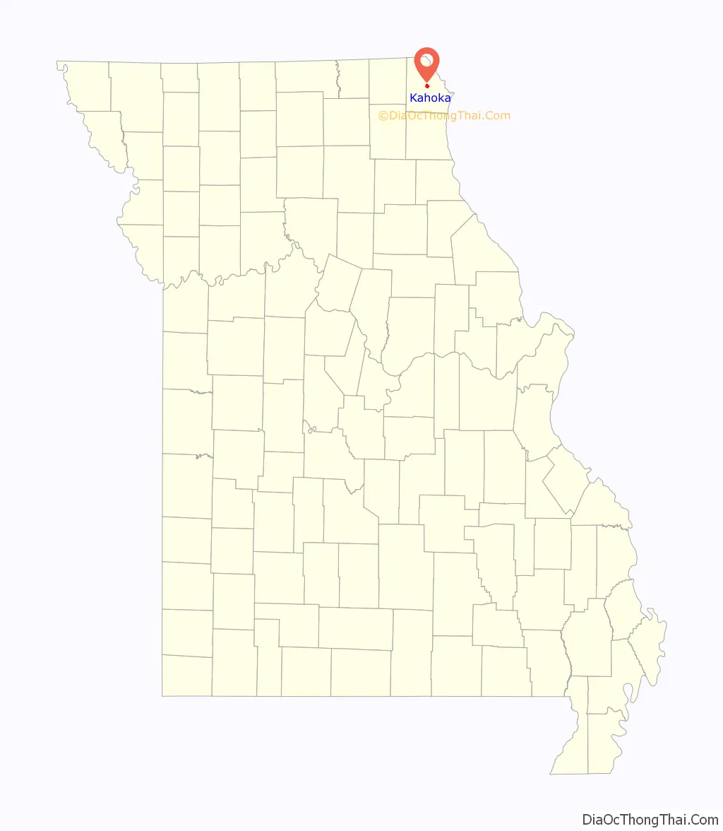
Kahoka location map. Where is Kahoka city?
History
Kahoka was platted in 1858. The city is named for the historic Cahokia tribe of the Illiniwek or Illinois Confederacy, which occupied territory on both sides of the Mississippi River in this area at the time of European encounter.
The Clark County Courthouse, Col. Hiram M. Hiller House, and Montgomery Opera House are listed on the National Register of Historic Places.
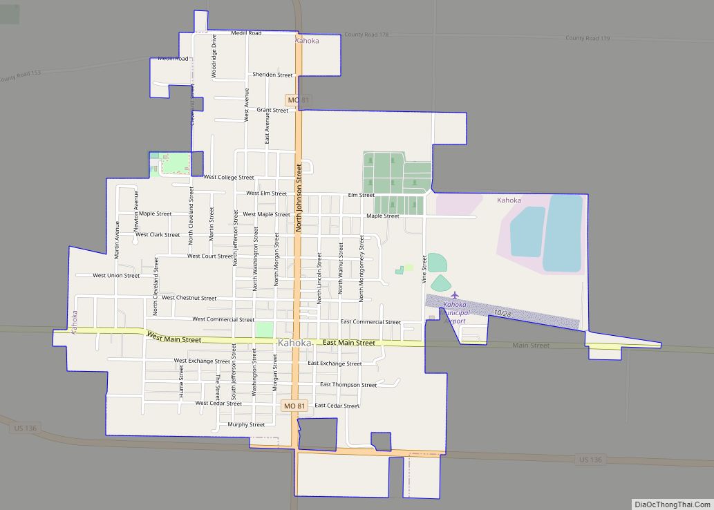
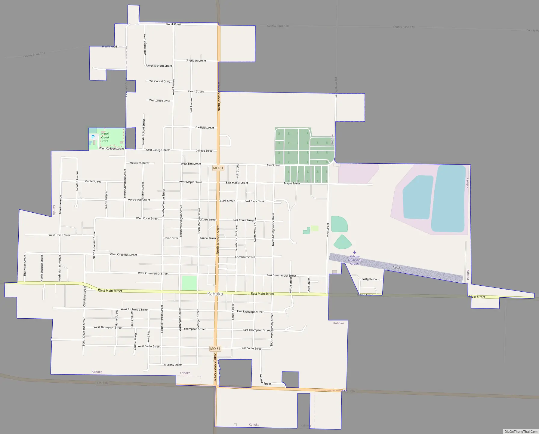
Kahoka Road Map
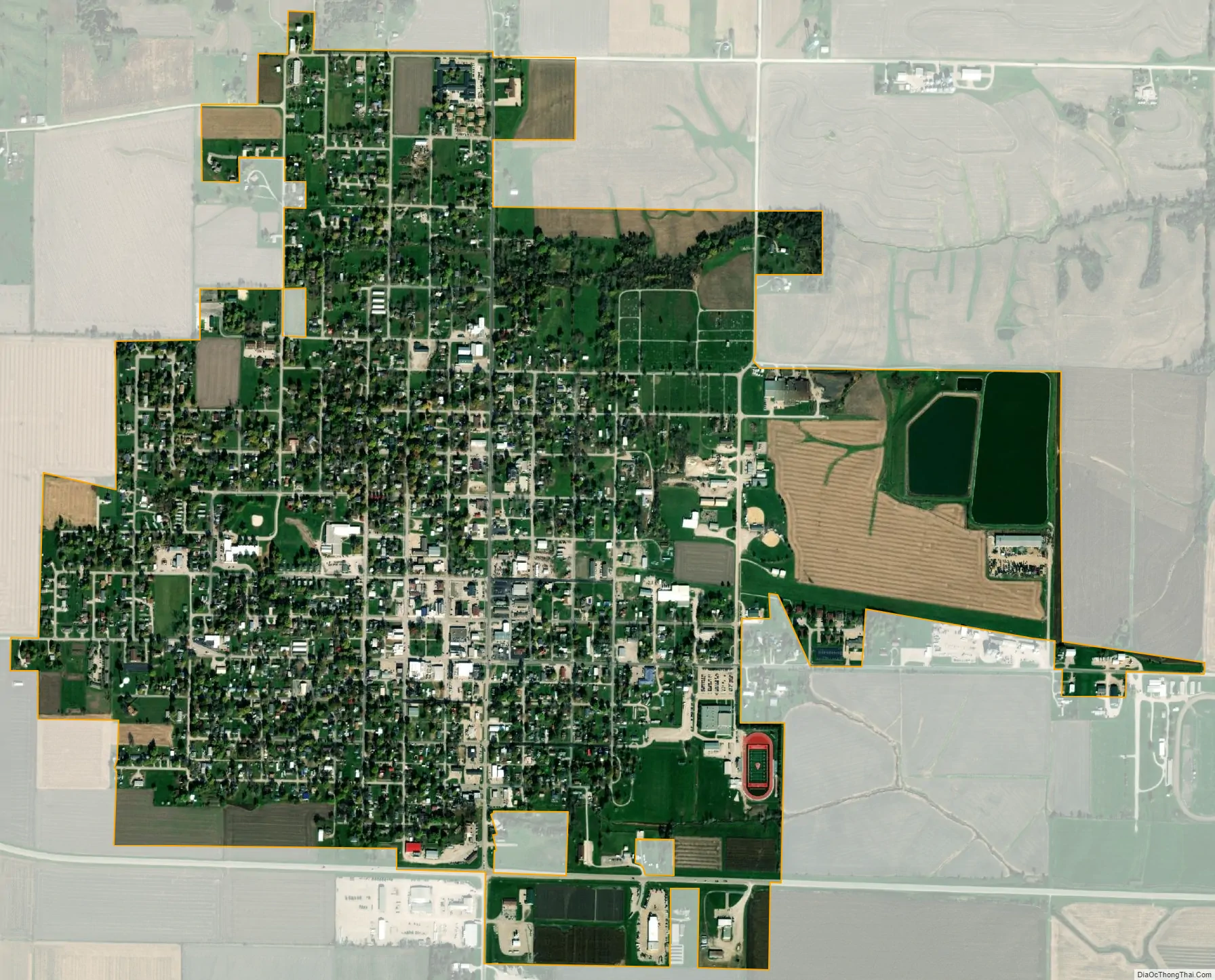
Kahoka city Satellite Map
Geography
Kahoka is located at the intersection of U.S. Route 136 and Missouri Route 81. Wayland is approximately seven miles to the east and Luray is 8.5 miles to the west. The Fox River flows past about one mile to the northeast.
According to the United States Census Bureau, the city has a total area of 1.60 square miles (4.14 km), of which 1.57 square miles (4.07 km) is land and 0.03 square miles (0.08 km) is water.
See also
Map of Missouri State and its subdivision:- Adair
- Andrew
- Atchison
- Audrain
- Barry
- Barton
- Bates
- Benton
- Bollinger
- Boone
- Buchanan
- Butler
- Caldwell
- Callaway
- Camden
- Cape Girardeau
- Carroll
- Carter
- Cass
- Cedar
- Chariton
- Christian
- Clark
- Clay
- Clinton
- Cole
- Cooper
- Crawford
- Dade
- Dallas
- Daviess
- De Kalb
- Dent
- Douglas
- Dunklin
- Franklin
- Gasconade
- Gentry
- Greene
- Grundy
- Harrison
- Henry
- Hickory
- Holt
- Howard
- Howell
- Iron
- Jackson
- Jasper
- Jefferson
- Johnson
- Knox
- Laclede
- Lafayette
- Lawrence
- Lewis
- Lincoln
- Linn
- Livingston
- Macon
- Madison
- Maries
- Marion
- McDonald
- Mercer
- Miller
- Mississippi
- Moniteau
- Monroe
- Montgomery
- Morgan
- New Madrid
- Newton
- Nodaway
- Oregon
- Osage
- Ozark
- Pemiscot
- Perry
- Pettis
- Phelps
- Pike
- Platte
- Polk
- Pulaski
- Putnam
- Ralls
- Randolph
- Ray
- Reynolds
- Ripley
- Saint Charles
- Saint Clair
- Saint Francois
- Saint Louis
- Sainte Genevieve
- Saline
- Schuyler
- Scotland
- Scott
- Shannon
- Shelby
- Stoddard
- Stone
- Sullivan
- Taney
- Texas
- Vernon
- Warren
- Washington
- Wayne
- Webster
- Worth
- Wright
- Alabama
- Alaska
- Arizona
- Arkansas
- California
- Colorado
- Connecticut
- Delaware
- District of Columbia
- Florida
- Georgia
- Hawaii
- Idaho
- Illinois
- Indiana
- Iowa
- Kansas
- Kentucky
- Louisiana
- Maine
- Maryland
- Massachusetts
- Michigan
- Minnesota
- Mississippi
- Missouri
- Montana
- Nebraska
- Nevada
- New Hampshire
- New Jersey
- New Mexico
- New York
- North Carolina
- North Dakota
- Ohio
- Oklahoma
- Oregon
- Pennsylvania
- Rhode Island
- South Carolina
- South Dakota
- Tennessee
- Texas
- Utah
- Vermont
- Virginia
- Washington
- West Virginia
- Wisconsin
- Wyoming