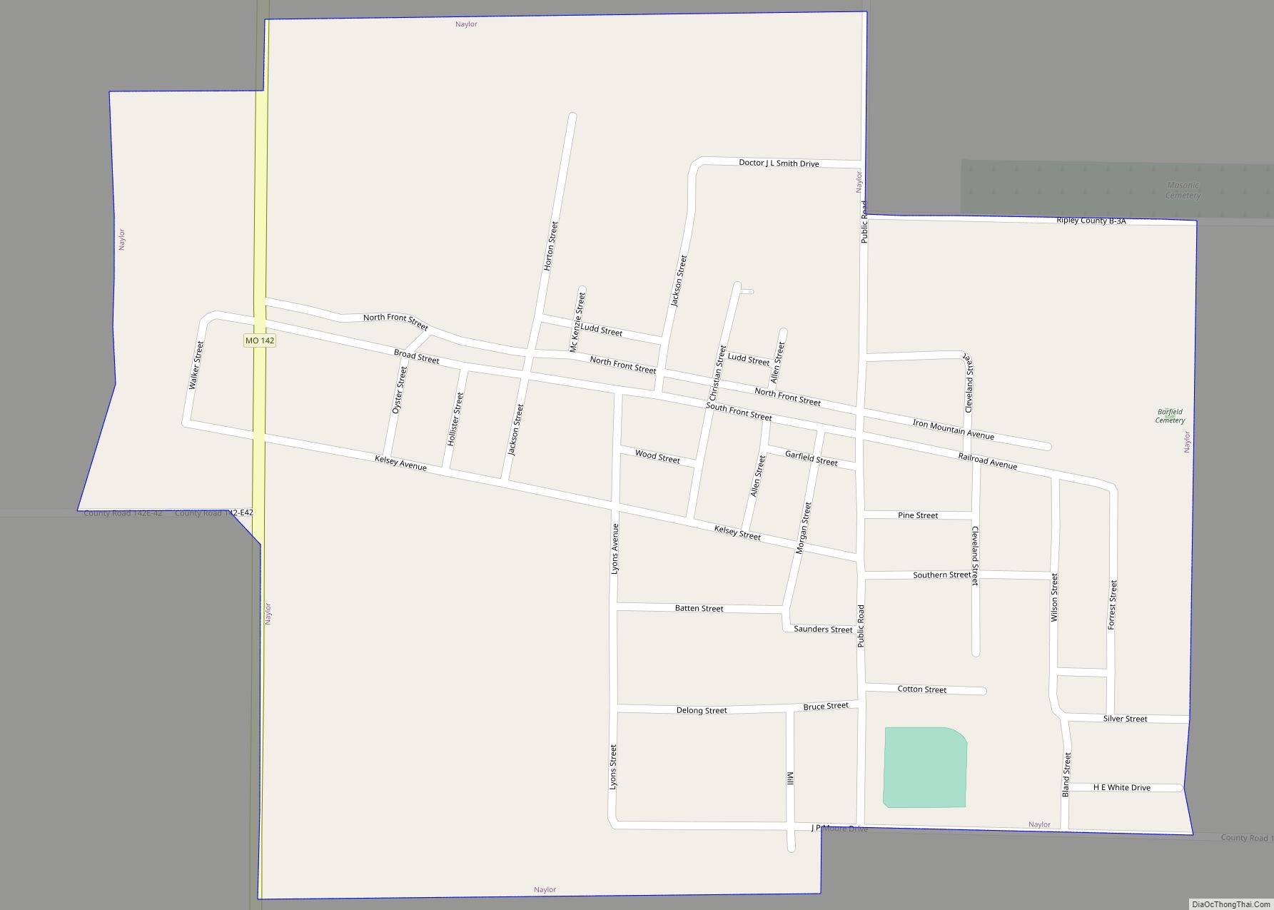
Naylor is a city in southeastern Ripley County, Missouri, United States. The population was 440 at the 2020 census. Naylor city overview: Name: Naylor city LSAD Code: 25 LSAD Description: city (suffix) State: Missouri County: Ripley County Elevation: 308 ft (94 m) Total Area: 0.55 sq mi (1.43 km²) Land Area: 0.55 sq mi (1.43 km²) Water Area: 0.00 sq mi (0.00 km²) Total Population: 440 ... Read more
Missouri Cities and Places
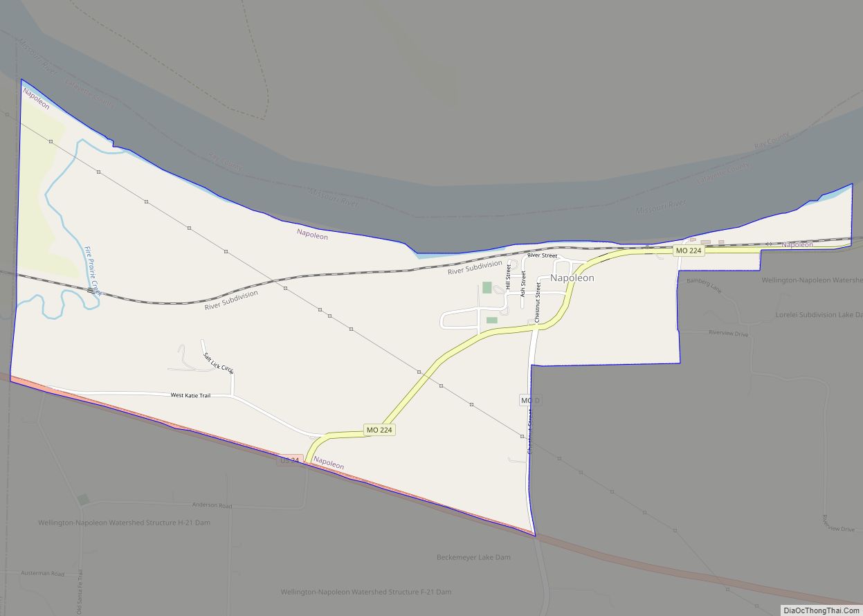
Napoleon is a city in Lafayette County, Missouri, and part of the Kansas City metropolitan area within the United States. It is located approximately 30 miles (48 km) east of Kansas City. The population was 222 at the 2010 census. Napoleon city overview: Name: Napoleon city LSAD Code: 25 LSAD Description: city (suffix) State: Missouri County: ... Read more
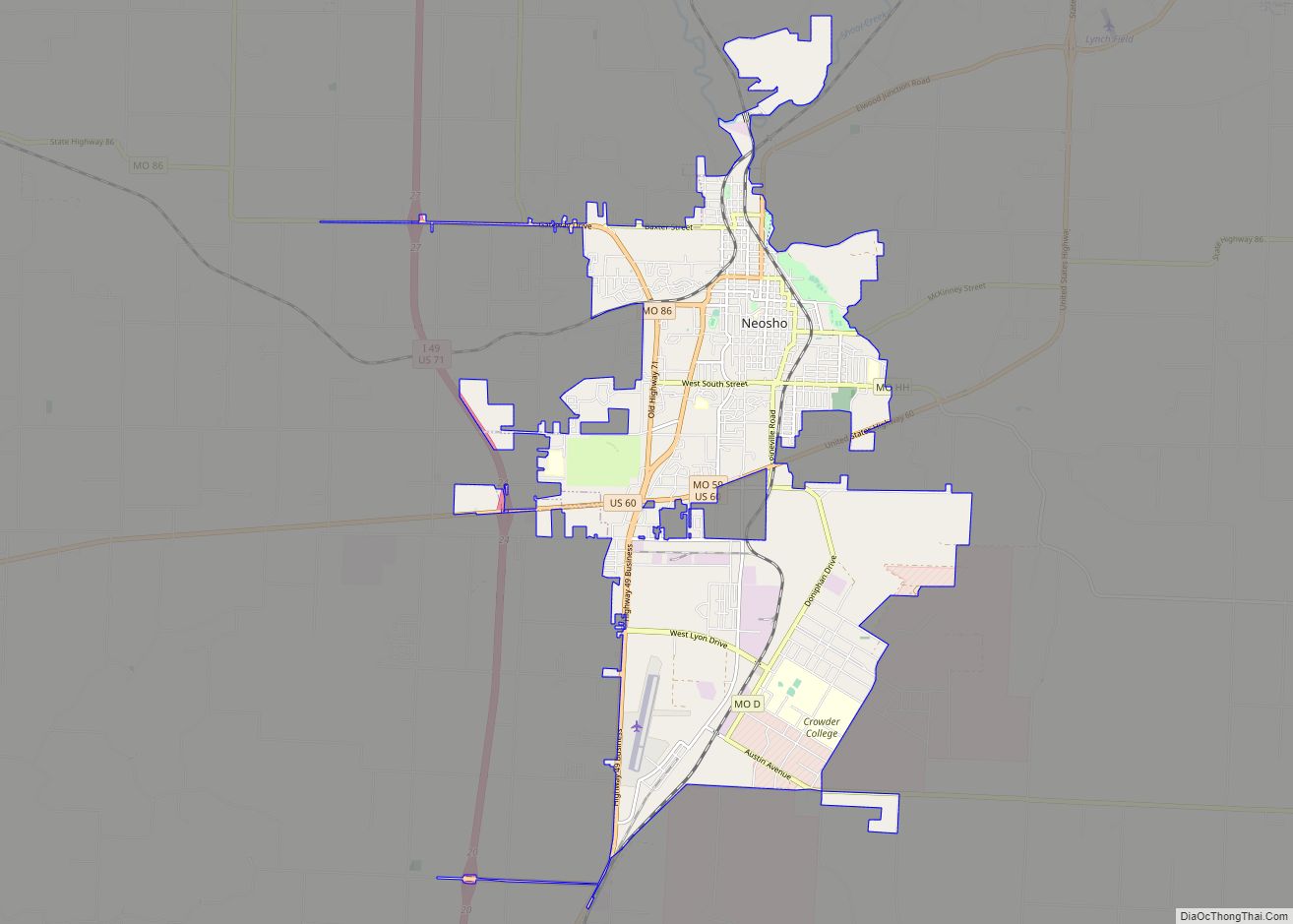
Neosho (/niːˈoʊʃoʊ/; originally Siouan pronunciation: [niˈoʒo] or Siouan pronunciation: [niˈoʒu]) is the most populous city in Newton County, Missouri, United States, which it serves as the county seat. With a population of 12,590 as of the 2020 census, the city is a part of the Joplin, Missouri Metropolitan Statistical Area, a region with an estimated 176,849 (2011) ... Read more
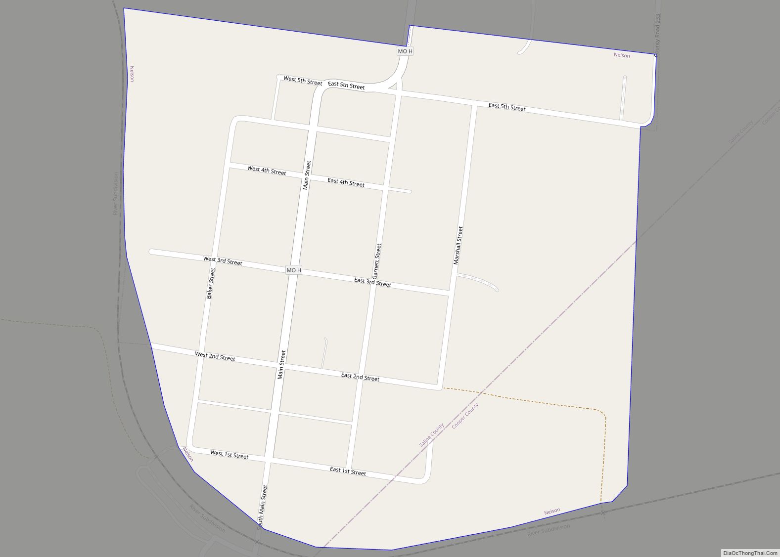
Nelson is a city in Saline County, Missouri, United States. The population was 152 at the 2020 census. Nelson city overview: Name: Nelson city LSAD Code: 25 LSAD Description: city (suffix) State: Missouri County: Saline County Elevation: 650 ft (200 m) Total Area: 0.33 sq mi (0.85 km²) Land Area: 0.33 sq mi (0.85 km²) Water Area: 0.00 sq mi (0.00 km²) Total Population: 152 Population ... Read more
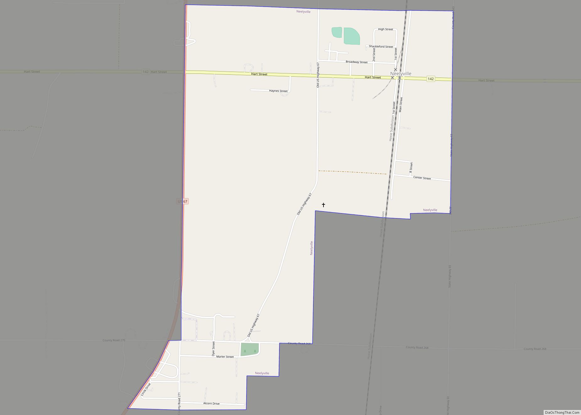
Neelyville is a city in Butler County in Southeast Missouri, United States. The population was 318 at the 2020 census. Neelyville is included within the Poplar Bluff Micropolitan Statistical Area. Neelyville city overview: Name: Neelyville city LSAD Code: 25 LSAD Description: city (suffix) State: Missouri County: Butler County Elevation: 302 ft (92 m) Total Area: 1.15 sq mi (2.98 km²) ... Read more
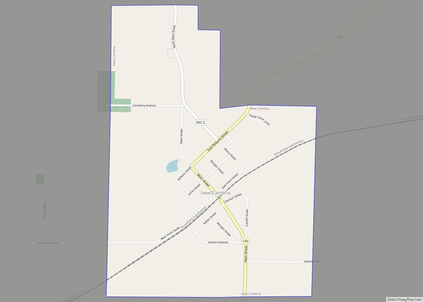
New Cambria is a city in Macon County, Missouri, United States. The population was 153 at the 2020 census. New Cambria city overview: Name: New Cambria city LSAD Code: 25 LSAD Description: city (suffix) State: Missouri County: Macon County Total Area: 0.68 sq mi (1.75 km²) Land Area: 0.67 sq mi (1.74 km²) Water Area: 0.00 sq mi (0.01 km²) Total Population: 153 Population ... Read more
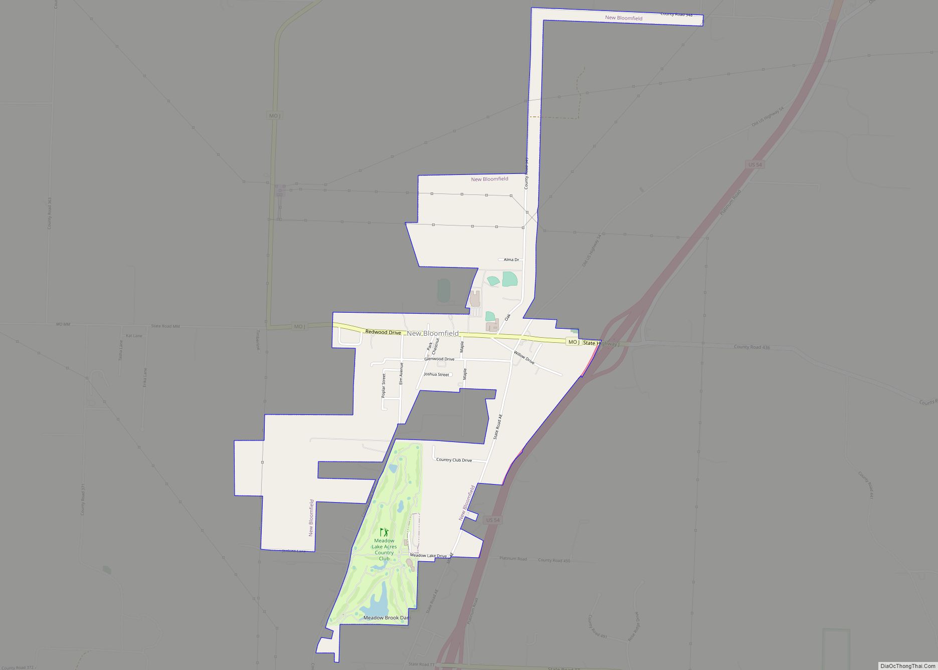
New Bloomfield is a city in Cedar Township, Callaway County, Missouri, United States. The population was 669 at the 2010 census. It is part of the Jefferson City Metropolitan Statistical Area. New Bloomfield city overview: Name: New Bloomfield city LSAD Code: 25 LSAD Description: city (suffix) State: Missouri County: Callaway County Elevation: 869 ft (265 m) Total ... Read more
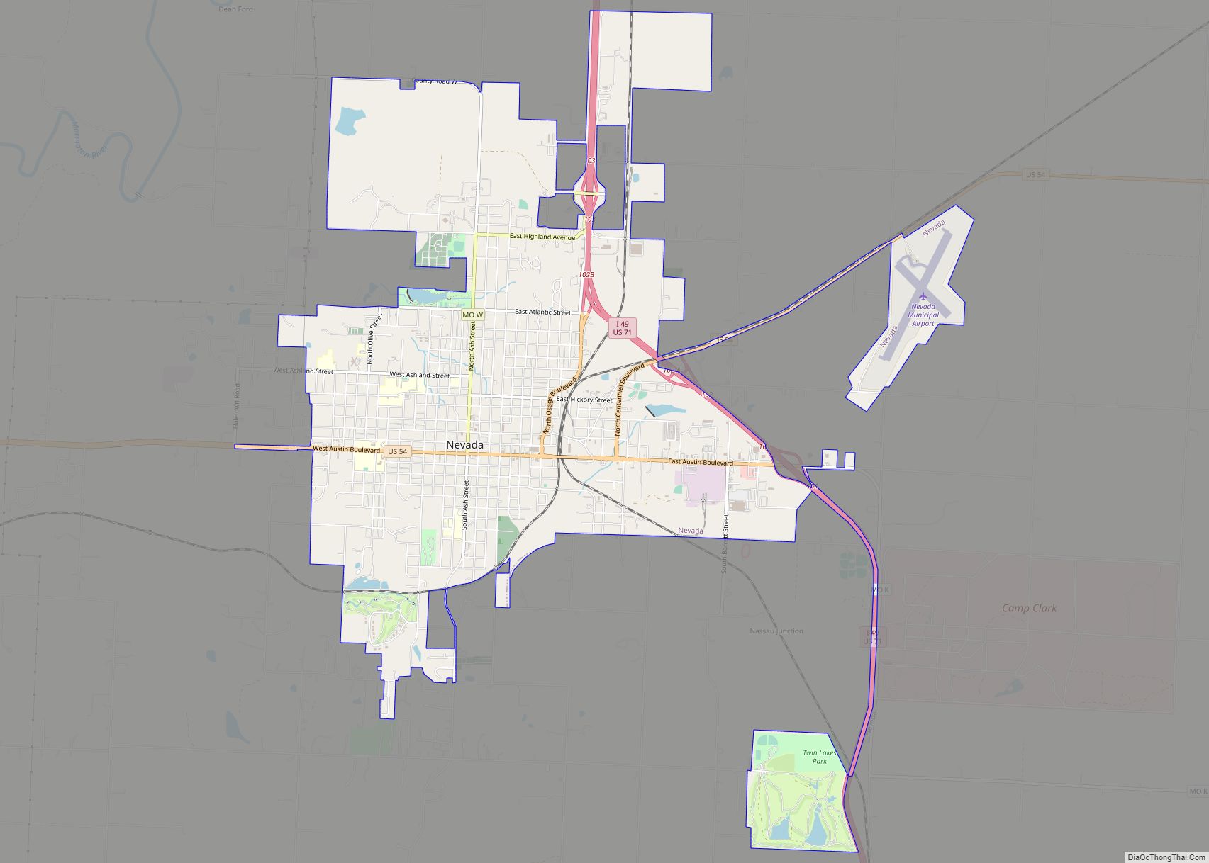
Nevada (/nəˈveɪdə/ nə-VAY-də) is a city in and the county seat of Vernon County, Missouri, United States. The population was 8,386 at the 2010 census, and 8,254 in the 2018 estimate. The local government has a council-manager model. Nevada city overview: Name: Nevada city LSAD Code: 25 LSAD Description: city (suffix) State: Missouri County: Vernon ... Read more
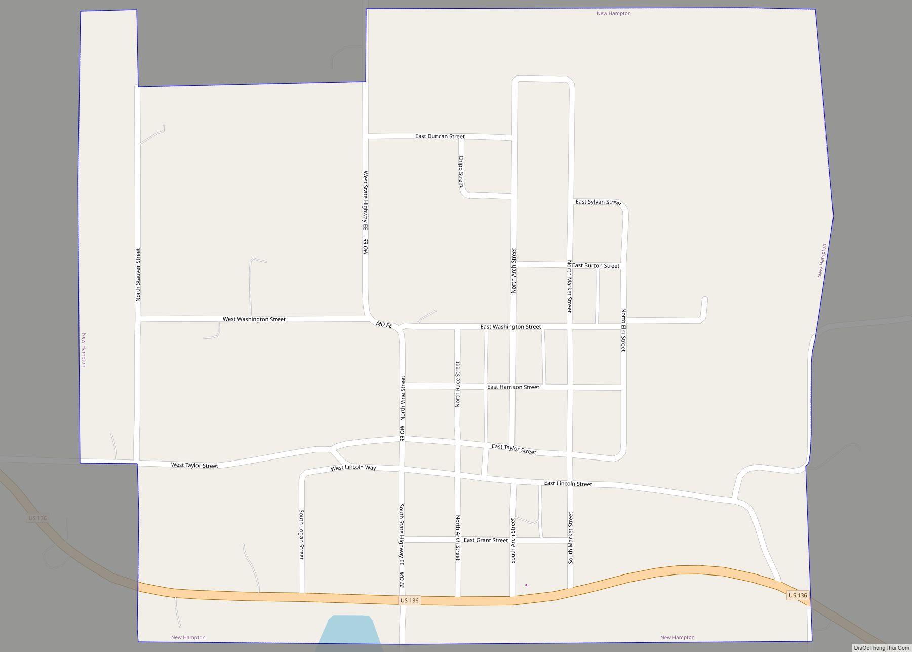
New Hampton is a city in southwest Harrison County, Missouri, United States. The population was 228 at the 2020 census. New Hampton city overview: Name: New Hampton city LSAD Code: 25 LSAD Description: city (suffix) State: Missouri County: Harrison County Elevation: 994 ft (303 m) Total Area: 0.55 sq mi (1.42 km²) Land Area: 0.55 sq mi (1.42 km²) Water Area: 0.00 sq mi (0.00 km²) ... Read more
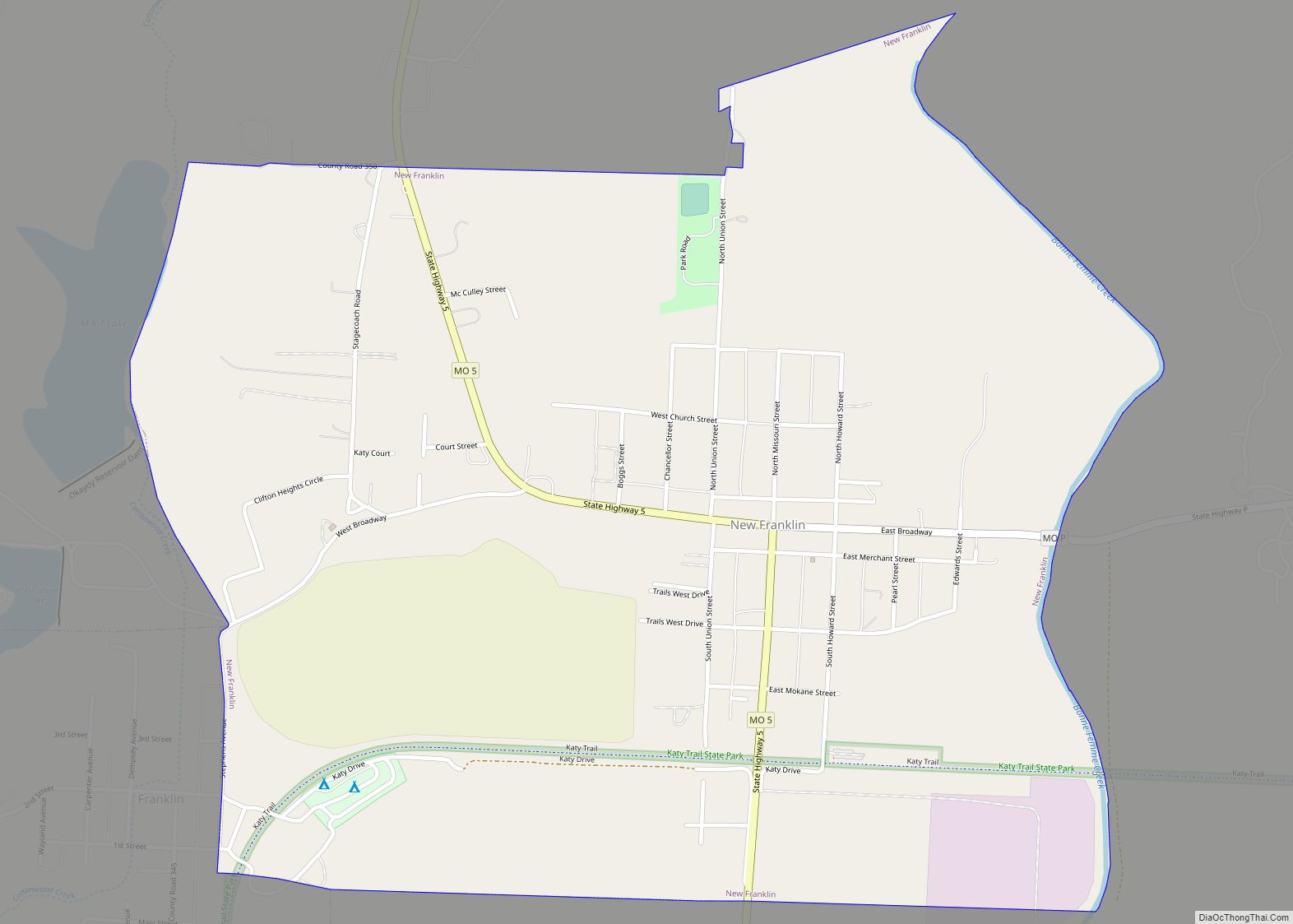
New Franklin is a city in Howard County, Missouri, United States. The population was 1,027 at the 2020 census. It is part of the Columbia, Missouri Metropolitan Statistical Area. The community is 0.25 miles (0.40 km) northeast of and uphill from Franklin, a flood-prone historic community which was the eastern terminus of the Santa Fe Trail. ... Read more
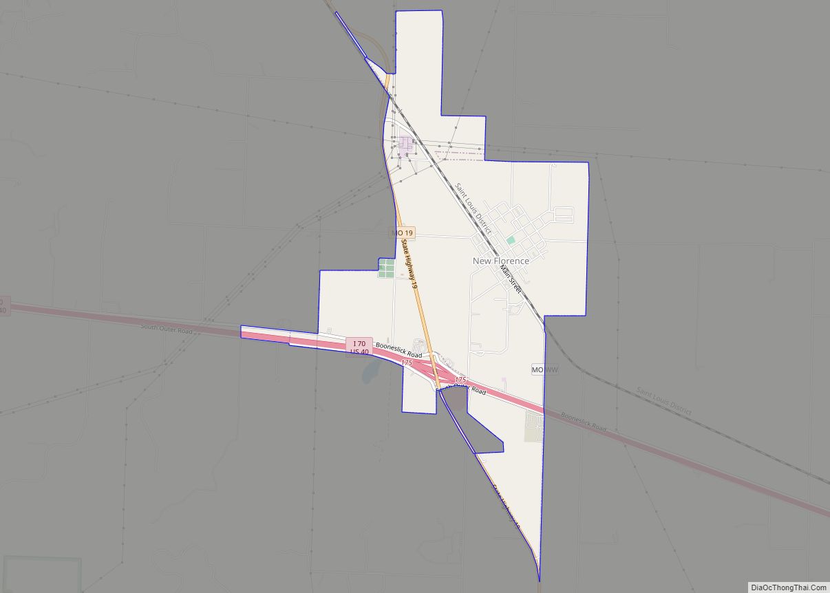
New Florence is a city in Montgomery County, Missouri, United States. The population was 641 at the 2020 census. New Florence includes a branch of Stone Hill Winery, based in Hermann. From here to the St. Louis suburbs is the geographic area known as the Missouri Rhineland, first established as a center of vineyards by ... Read more
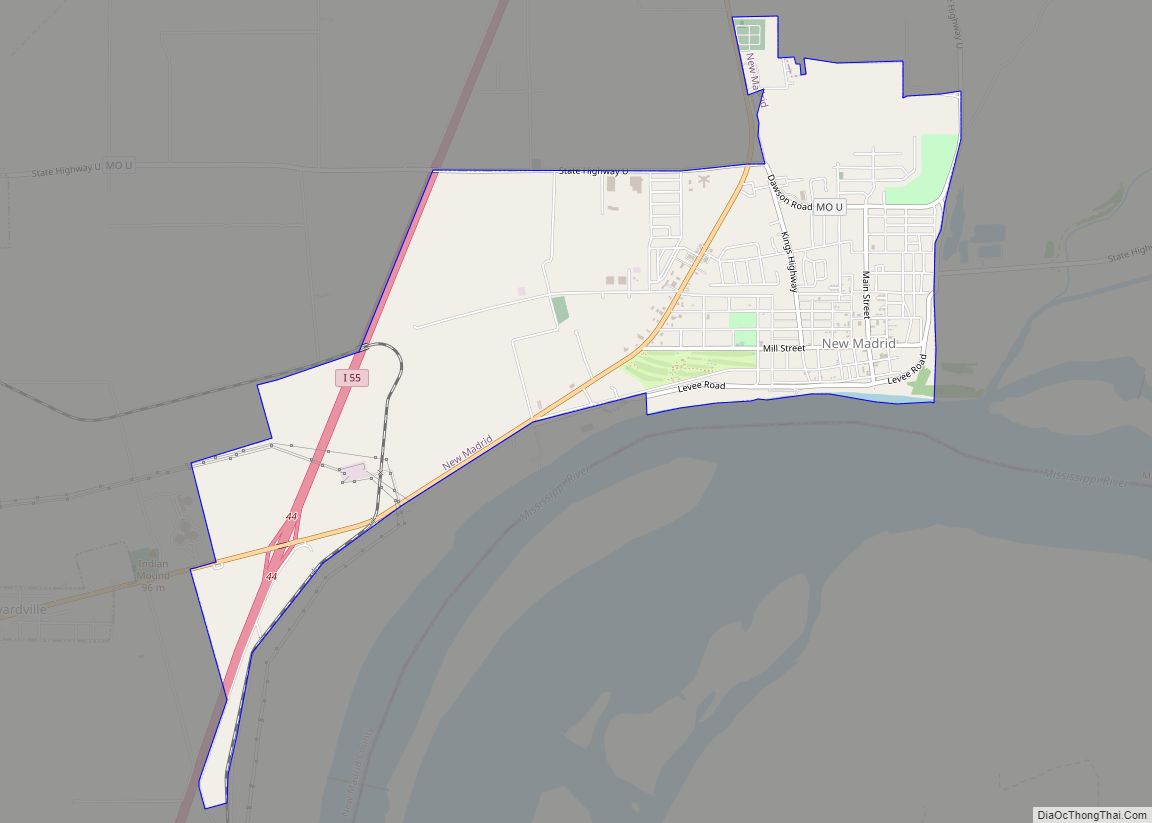
New Madrid (Spanish: Nueva Madrid) (pronounced New MADrid) is a city in New Madrid County, Missouri, United States. The population was 2,787 at the 2020 census. New Madrid is the county seat of New Madrid County. The city is located 42 miles (68 km) southwest of Cairo, Illinois, and north of an exclave of Fulton County, ... Read more
