New Madrid (Spanish: Nueva Madrid) (pronounced New MADrid) is a city in New Madrid County, Missouri, United States. The population was 2,787 at the 2020 census. New Madrid is the county seat of New Madrid County. The city is located 42 miles (68 km) southwest of Cairo, Illinois, and north of an exclave of Fulton County, Kentucky, across the Mississippi River.
The town is on the north side of the Kentucky Bend in the Mississippi River, which is also known as “New Madrid Bend” or “Madrid Bend.” The river curves in an oxbow around an exclave of Fulton County, Kentucky. Scientists expect the river eventually to cut across the neck of the peninsula and make a more direct channel, leaving the Kentucky territory as an island.
New Madrid was the epicenter of the very powerful 1811–12 New Madrid earthquakes.
| Name: | New Madrid city |
|---|---|
| LSAD Code: | 25 |
| LSAD Description: | city (suffix) |
| State: | Missouri |
| County: | New Madrid County |
| Elevation: | 295 ft (90 m) |
| Total Area: | 4.54 sq mi (11.75 km²) |
| Land Area: | 4.50 sq mi (11.66 km²) |
| Water Area: | 0.04 sq mi (0.09 km²) |
| Total Population: | 2,787 |
| Population Density: | 619.20/sq mi (239.05/km²) |
| ZIP code: | 63869 |
| Area code: | 573 |
| FIPS code: | 2952076 |
| GNISfeature ID: | 0723282 |
| Website: | http://www.new-madrid.mo.us/ |
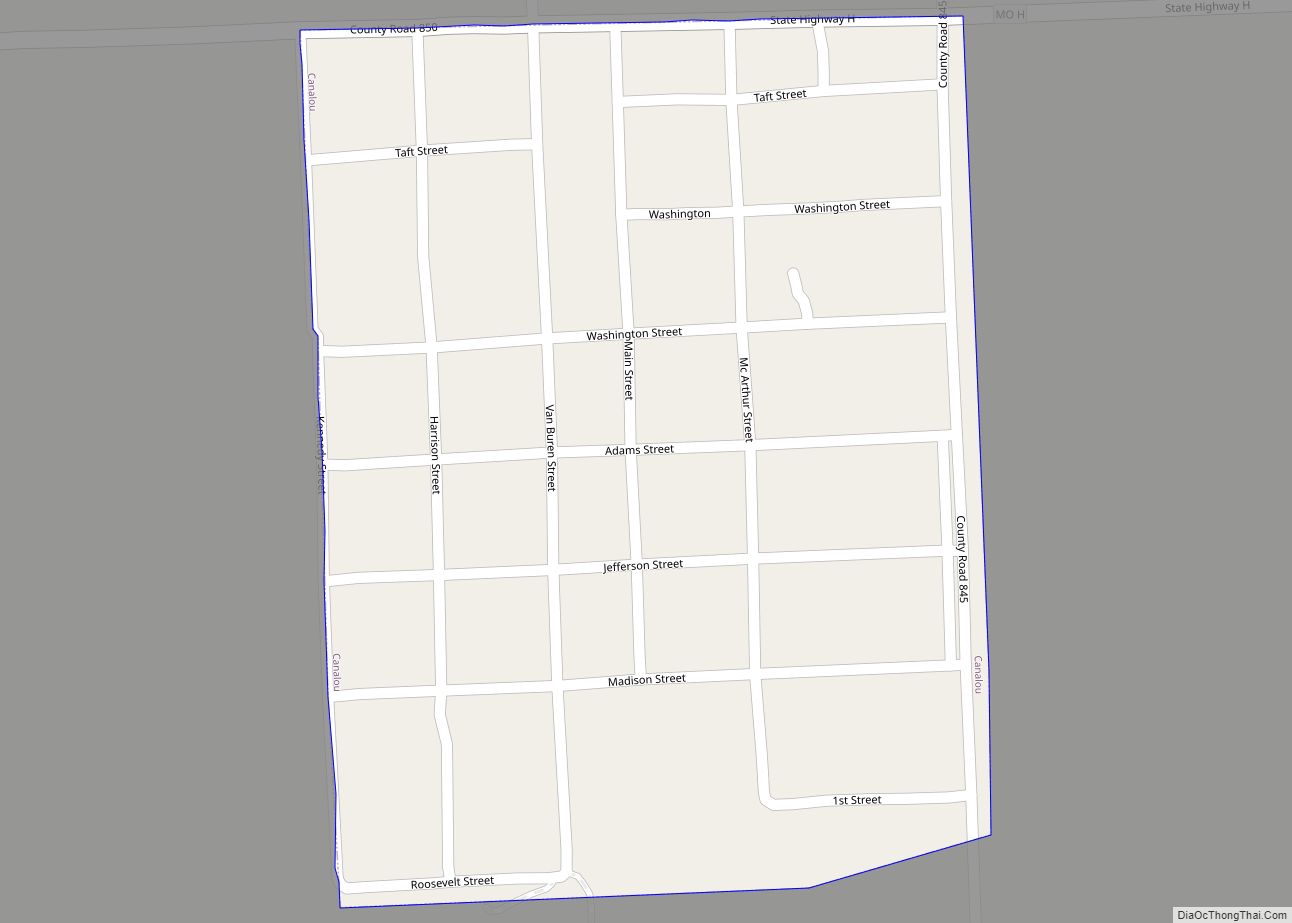
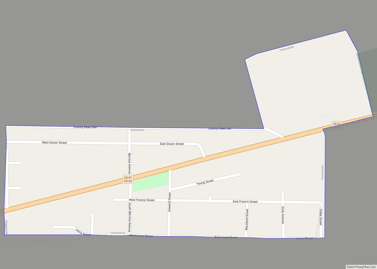
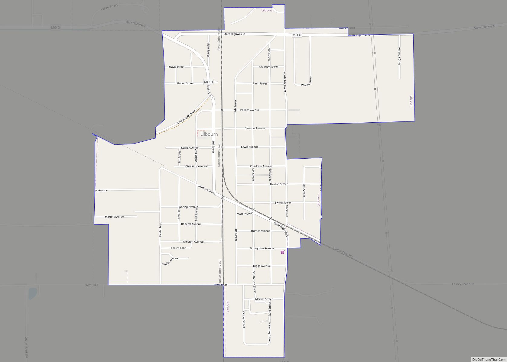
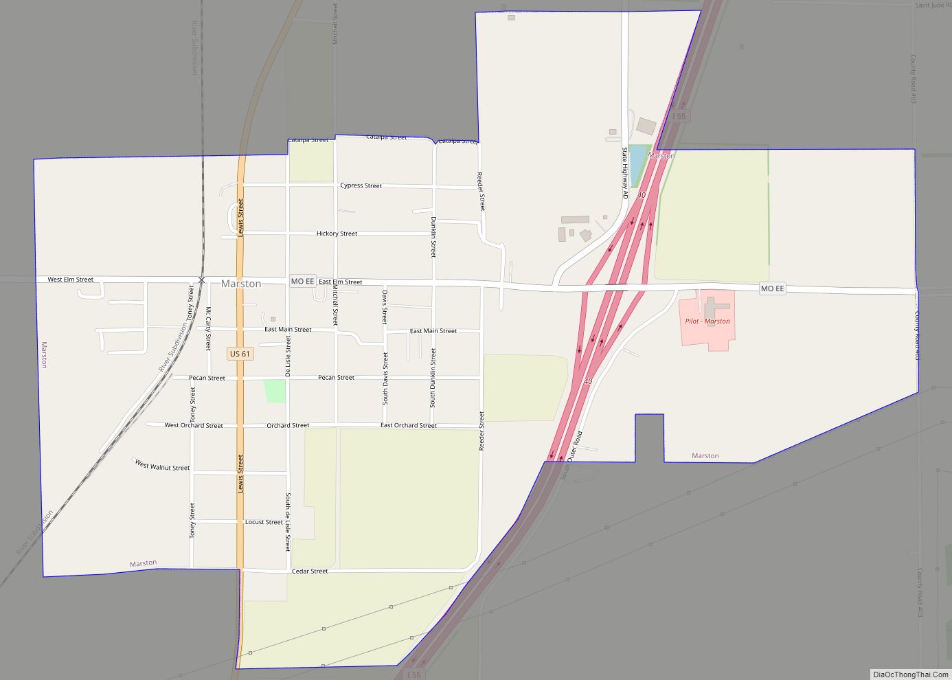
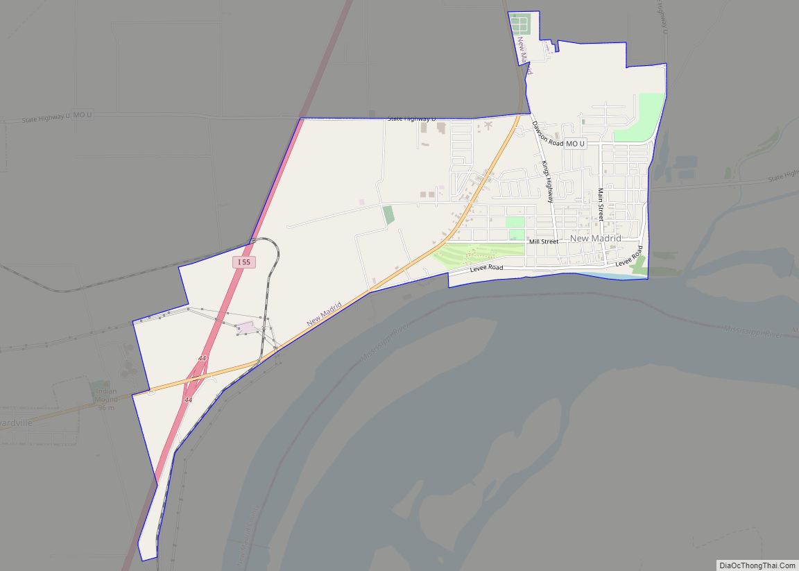
Online Interactive Map
Click on ![]() to view map in "full screen" mode.
to view map in "full screen" mode.
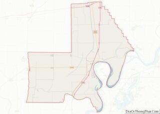
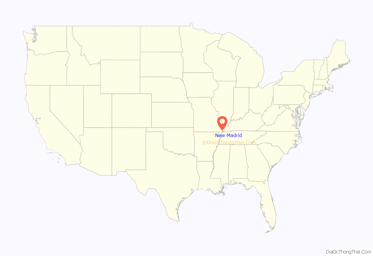
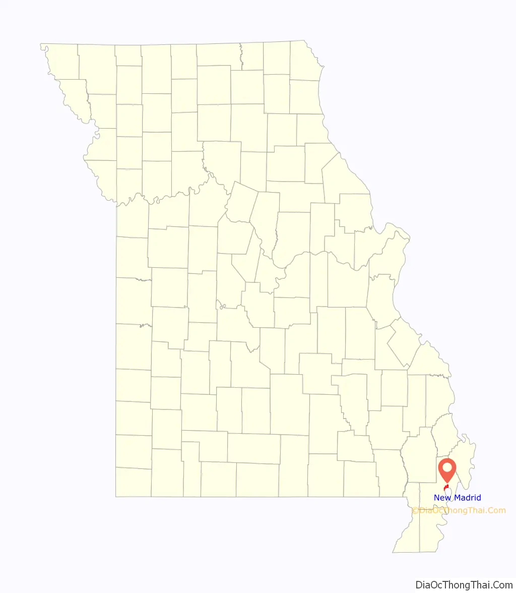
New Madrid location map. Where is New Madrid city?
History
The first more or less permanent settlement at present-day New Madrid was established by bands of Shawnee, Delaware, Creek, and Cherokee who were turned into refugees due to the U.S. War for Independence. These refugee Native American bands accepted Spanish offers to settle on the west bank of the Mississippi River in the early 1780s. These mixed Native American groups established a settlement and informal trading post where a northward, horseshoe bend of the Mississippi met the Chepusa creek, which provided an easy place for landing boats. Native American hunters and European-American merchants made the settlement a location for processing the bounty of hunts, including the valuable but messy fat of bears and buffalo, which was used in preparing skins and furs. The settlement quickly acquired the name L’Anse a la Graise — “Cove of Grease” or “Greasy Cove.”
European Americans renamed the settlement New Madrid around 1780 under the auspices of Spanish Governor Bernardo de Gálvez, who was appointed to rule Spanish Louisiana (the land west of the Mississippi River), and Manuel Pérez, Lieutenant Governor of Upper Louisiana in Saint Louis. They welcomed settlers from the United States, but required them to become subjects of (i.e. swear allegiance to) the Spanish crown. In addition, they had to agree to live under the guidance of his appointed empresario, Colonel George Morgan, an American Revolutionary War veteran from New Jersey. Morgan recruited a number of American families to settle at New Madrid, attracting a few hundred people to the region. Settlement in the 1790s and early 1800s remained relatively low due to the physical geography of New Madrid and its hinterlands. The Mississippi frequently washed away the town’s river banks, and a Spanish fort was washed away. Surrounded by low, swampy land, New Madrid developed a well-earned reputation for diseases, especially in the summer and fall. Spanish census data from the late 1790s show around 800 residents at the village of New Madrid. New Madrid continued to operate as a site of exchange between Native Americans in the St. Francis River Valley and European American traders operating out of New Madrid.
In 1800, Spain traded the territory back to France in the Third Treaty of San Ildefonso. After trying to regain control of Saint-Domingue (the present Haiti), where a slave rebellion was underway, Napoleon gave up on his North American colonies, agreeing to sell this territory to the United States in 1803 as part of the Louisiana Purchase.
The area is noted as the site of a series of more than 1,000 earthquakes in 1811 and 1812, ranging up to approximately magnitude 8, the most powerful non-subduction zone earthquake ever recorded in the United States. New Madrid lies far from any plate boundaries, but it is on the New Madrid Seismic Zone. The major earthquake was felt as far away as the East Coast.
During the Civil War, the Battle of Island Number Ten took place on the Mississippi River near New Madrid.
In the antebellum period, this fertile floodplain area was developed for cotton plantations, based on the labor of enslaved African Americans. They were emancipated after the Civil War and worked to make new lives. As whites struggled to re-establish dominance after the Reconstruction era, they intimidated and attacked blacks under the guise of Jim Crow laws, working to suppress voting and control their activities. Three African-American men are documented as being lynched by whites in New Madrid, the county seat, near the turn of the century: Unknown Negro, on November 29, 1898; Louis Wright, a musician in a minstrel show accused of altercations with whites, hanged on February 17, 1902; and unknown Negro, May 30, 1910.
By the turn of the 20th century, some industry was being developed in New Madrid, which contained two lumber mills, a grist mill, a stave and heading factory, and a cotton gin. It was considered a rough town. There were four Protestant churches, two with independent African-American congregations, and one Catholic church.
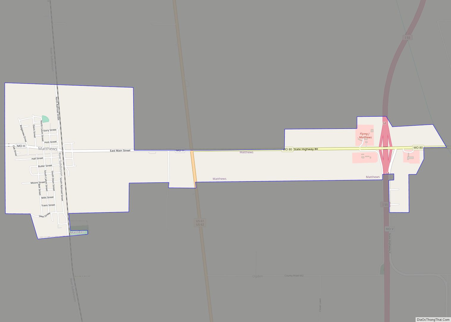
New Madrid Road Map

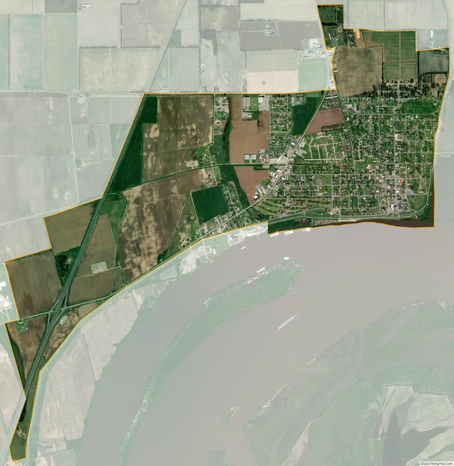
New Madrid city Satellite Map
Geography
New Madrid is located at 36°35′16″N 89°32′9″W / 36.58778°N 89.53583°W / 36.58778; -89.53583 (36.59, -89.54). According to the United States Census Bureau, the city has a total area of 4.53 square miles (11.73 km), of which 4.49 square miles (11.63 km) is land and 0.04 square miles (0.10 km) is water.
Climate
New Madrid has a humid subtropical climate (Köppen Cfa) with hot, humid summers and chilly, though not severe winters. Winter weather can vary from very mild and rainy when air masses from the Gulf of Mexico predominate, to very cold, dry and windy with northerly or northwesterly airflows as in the famous cold month of January 1977. On average there are 82 nights which fall to or below 32 °F or 0 °C, whilst one night falls to or below 0 °F or −17.8 °C, and the coldest temperature ever has been −14 °F or −25.6 °C on January 17, 1982. The hottest has been 107 °F or 41.7 °C record on August 4, 1964, whilst an average of 2.9 days exceed 100 °F or 37.8 °C.
Rainfall is fairly heavy throughout the year due to moist air from the Gulf being advected on the western side of the Bermuda High, plus occasional remnant depressions from hurricanes passing up the Mississippi Valley. Between 1963 and 2012, the wettest calendar year was 1990 with 71.24 inches or 1,809.5 millimetres and the driest 2005 with 32.36 inches or 821.9 millimetres. The wettest day was September 23, 2006 with 11.38 inches (289.1 mm) in one day, and September 2006 was also the wettest month with 15.27 inches (387.9 mm), whilst no precipitation fell during October 1964.
Snowfall is very rare, as it is normally too dry to snow when cold air masses reach the Bootheel, so that the median is only 0.4 inches or 0.010 metres per year and the mean just 5.7 inches or 0.14 metres. The most snow in one month was in January 1977 with 13.1 inches or 0.33 metres, whilst the snowiest season was from July 1966 to June 1967 with 19.3 inches or 0.49 metres.
See also
Map of Missouri State and its subdivision:- Adair
- Andrew
- Atchison
- Audrain
- Barry
- Barton
- Bates
- Benton
- Bollinger
- Boone
- Buchanan
- Butler
- Caldwell
- Callaway
- Camden
- Cape Girardeau
- Carroll
- Carter
- Cass
- Cedar
- Chariton
- Christian
- Clark
- Clay
- Clinton
- Cole
- Cooper
- Crawford
- Dade
- Dallas
- Daviess
- De Kalb
- Dent
- Douglas
- Dunklin
- Franklin
- Gasconade
- Gentry
- Greene
- Grundy
- Harrison
- Henry
- Hickory
- Holt
- Howard
- Howell
- Iron
- Jackson
- Jasper
- Jefferson
- Johnson
- Knox
- Laclede
- Lafayette
- Lawrence
- Lewis
- Lincoln
- Linn
- Livingston
- Macon
- Madison
- Maries
- Marion
- McDonald
- Mercer
- Miller
- Mississippi
- Moniteau
- Monroe
- Montgomery
- Morgan
- New Madrid
- Newton
- Nodaway
- Oregon
- Osage
- Ozark
- Pemiscot
- Perry
- Pettis
- Phelps
- Pike
- Platte
- Polk
- Pulaski
- Putnam
- Ralls
- Randolph
- Ray
- Reynolds
- Ripley
- Saint Charles
- Saint Clair
- Saint Francois
- Saint Louis
- Sainte Genevieve
- Saline
- Schuyler
- Scotland
- Scott
- Shannon
- Shelby
- Stoddard
- Stone
- Sullivan
- Taney
- Texas
- Vernon
- Warren
- Washington
- Wayne
- Webster
- Worth
- Wright
- Alabama
- Alaska
- Arizona
- Arkansas
- California
- Colorado
- Connecticut
- Delaware
- District of Columbia
- Florida
- Georgia
- Hawaii
- Idaho
- Illinois
- Indiana
- Iowa
- Kansas
- Kentucky
- Louisiana
- Maine
- Maryland
- Massachusetts
- Michigan
- Minnesota
- Mississippi
- Missouri
- Montana
- Nebraska
- Nevada
- New Hampshire
- New Jersey
- New Mexico
- New York
- North Carolina
- North Dakota
- Ohio
- Oklahoma
- Oregon
- Pennsylvania
- Rhode Island
- South Carolina
- South Dakota
- Tennessee
- Texas
- Utah
- Vermont
- Virginia
- Washington
- West Virginia
- Wisconsin
- Wyoming