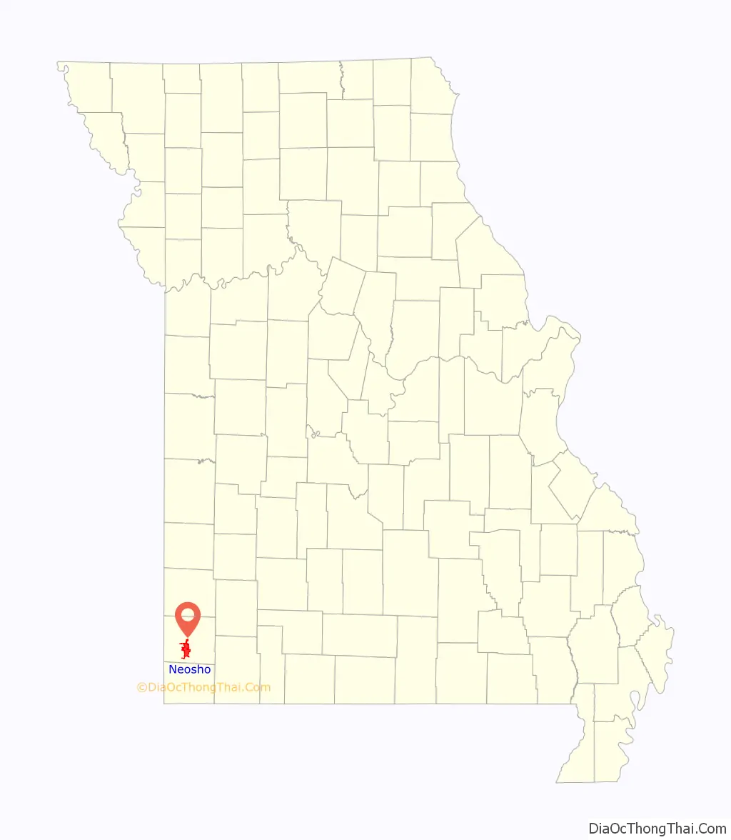
Neosho (/niːˈoʊʃoʊ/; originally Siouan pronunciation: [niˈoʒo] or Siouan pronunciation: [niˈoʒu]) is the most populous city in Newton County, Missouri, United States, which it serves as the county seat. With a population of 12,590 as of the 2020 census, the city is a part of the Joplin, Missouri Metropolitan Statistical Area, a region with an estimated 176,849 (2011) residents. Neosho lies on the western edge of the Ozarks, in the far southwest of the state.
The name “Neosho” is generally accepted to be of Native American (most likely Osage) derivation, meaning “clear, cold water”, referring to local freshwater springs. The springs attracted varying cultures of Native American inhabitants for thousands of years. The Osage Nation had long occupied the territory at the time of European contact.
Like the Osage, European-American settlers were also attracted to the springs, and founded the community of Neosho in 1833. It was incorporated as a municipal government in 1878. Nicknamed “City of Springs”, Neosho has long served as an agricultural center. Since 1888, it has been the site of the Neosho National Fish Hatchery, the oldest in the National Fish Hatchery System.
It is known locally as the “Gateway to the Ozarks”. Since 1957, it has also been identified as “the Flower Box City”.
| Name: | Neosho city |
|---|---|
| LSAD Code: | 25 |
| LSAD Description: | city (suffix) |
| State: | Missouri |
| County: | Newton County |
| Founded: | 1829 |
| Incorporated: | August 20, 1847, again in 1878 |
| Elevation: | 1,037 ft (316 m) |
| Total Area: | 15.77 sq mi (40.86 km²) |
| Land Area: | 15.75 sq mi (40.80 km²) |
| Water Area: | 0.02 sq mi (0.06 km²) |
| Total Population: | 12,590 |
| Population Density: | 799.31/sq mi (308.61/km²) |
| ZIP code: | 64850 |
| Area code: | 417 |
| FIPS code: | 2951572 |
| GNISfeature ID: | 0723172 |
| Website: | www.neoshomo.org |
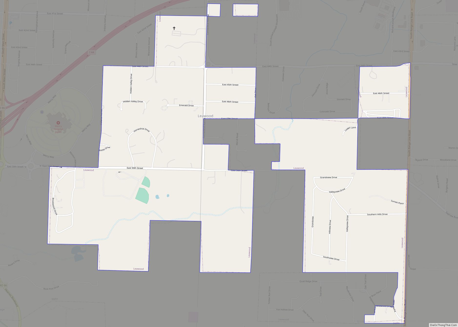
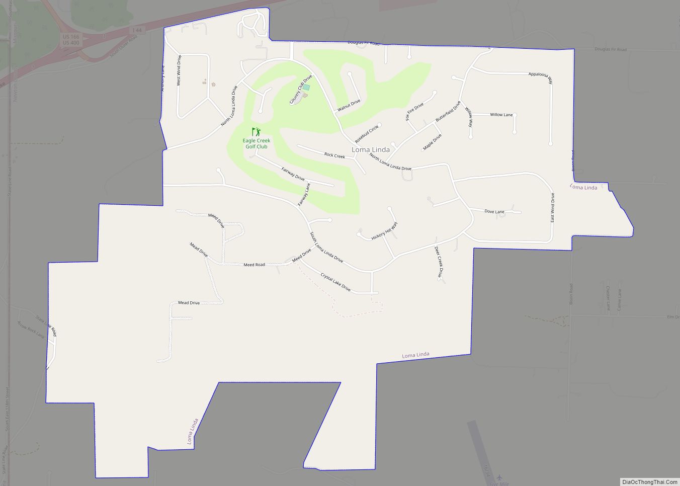
Online Interactive Map
Click on ![]() to view map in "full screen" mode.
to view map in "full screen" mode.
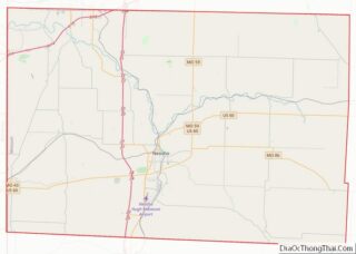
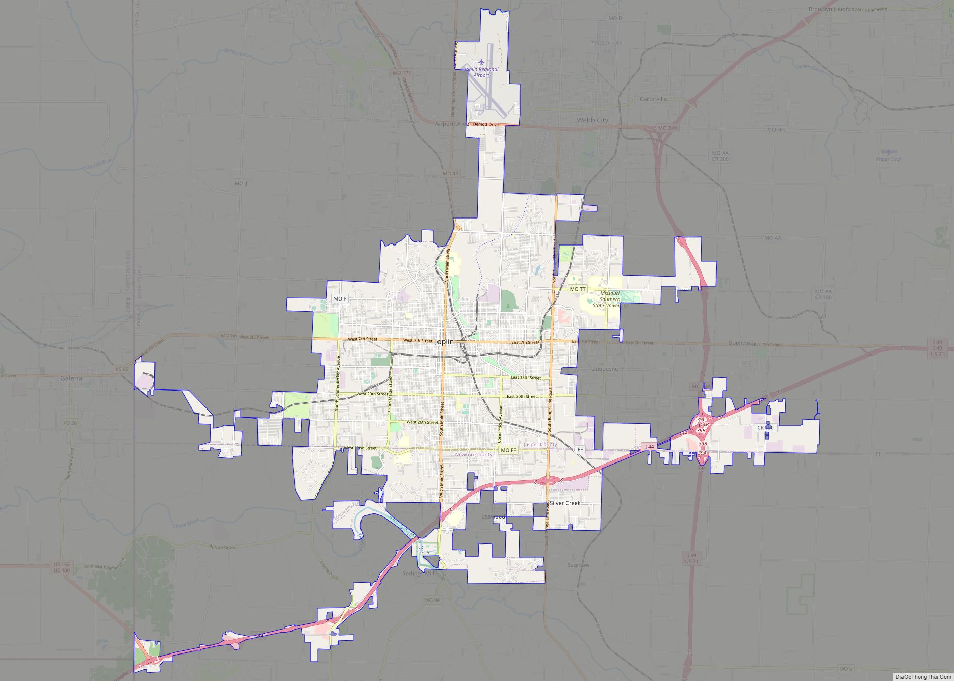
Neosho location map. Where is Neosho city?
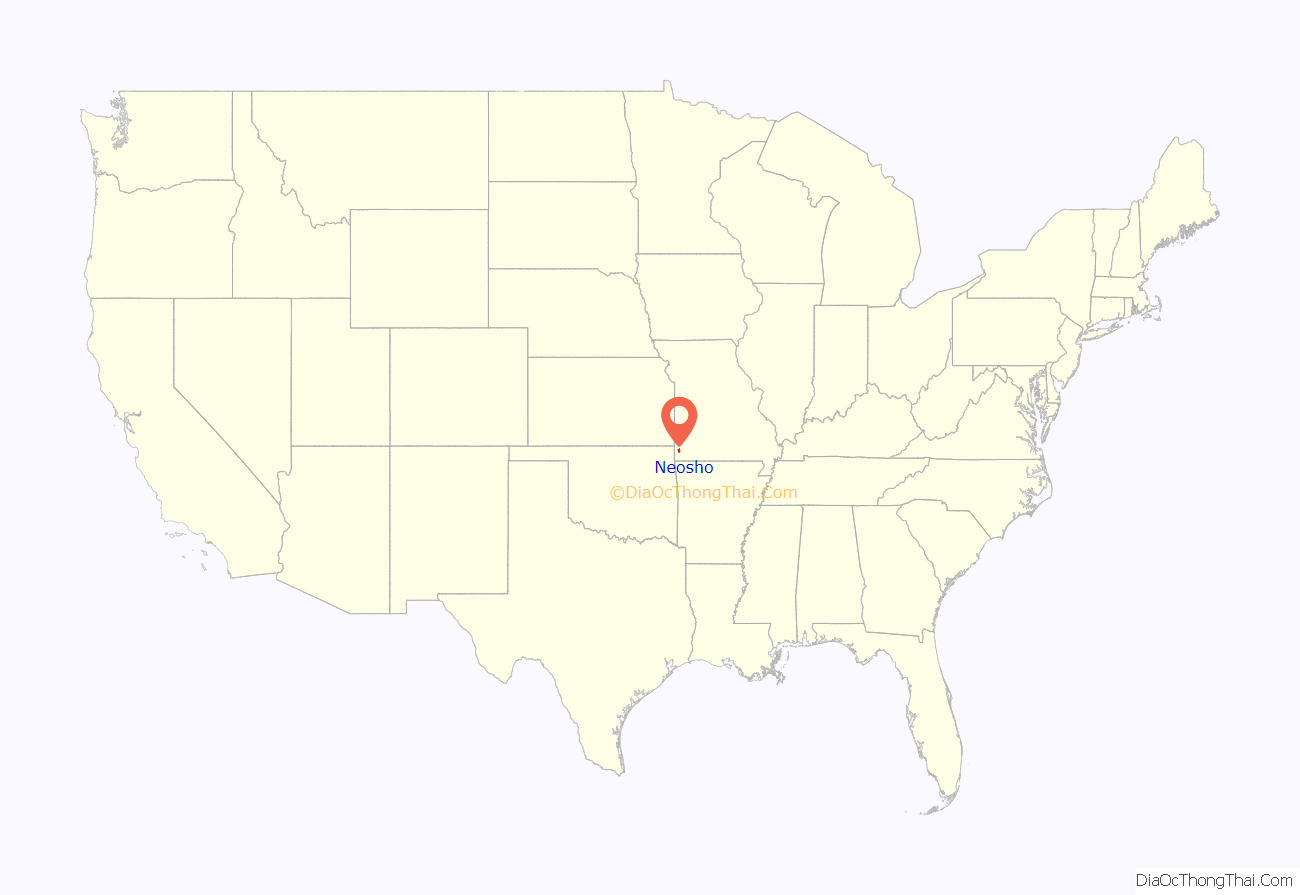
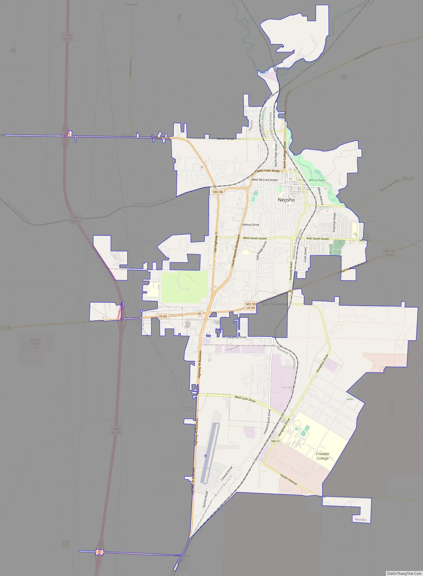
Neosho Road Map
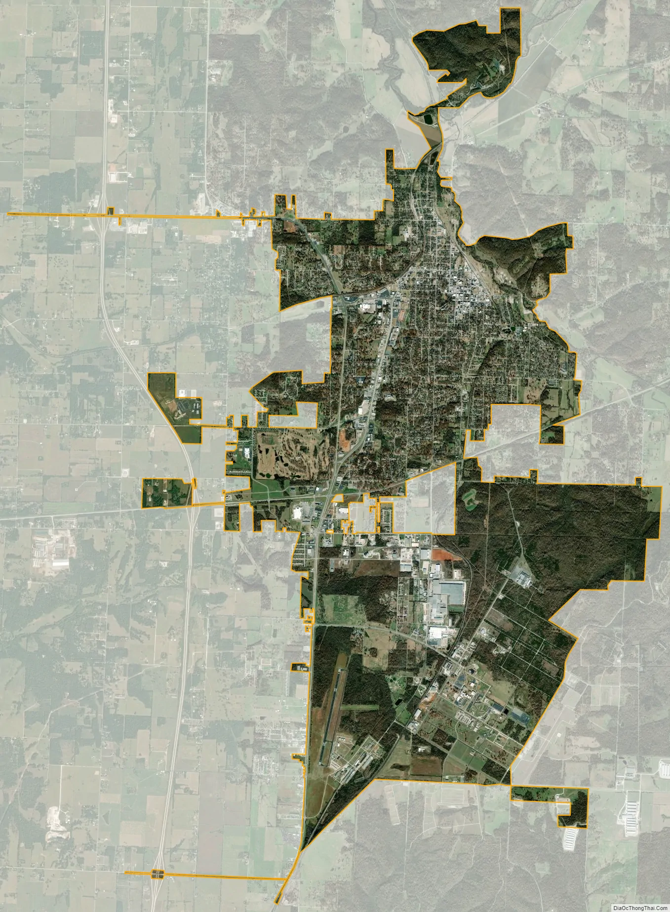
Neosho city Satellite Map
Geography
Geography
Neosho is in south central Newton County approximately 15 miles south-southeast of Joplin. It is at the intersection of US routes 60 and 71.
According to the United States Census Bureau, the city has a total area of 15.75 square miles (40.79 km), of which 15.73 square miles (40.74 km) is land and 0.02 square miles (0.05 km) is water.
Neosho is noted for numerous springs including:
Also known historically as Clark Spring, Big Spring is Neosho’s largest spring and is located near the historic downtown in the city’s main park, Big Spring Park. This spring issues at the base of a high bluff of Mississippian limestone from a series of cavernous openings developed along a bedding plane, and flows through the city park.
Also known as historically as Walbridge Spring, located 900 feet (270 m) east of the Big Spring and a block east of the courthouse square, Bell’s Iron Spring played an important role in Neosho’s development. Originally rising in the valley and capable of supplying a city of 50,000 people, though hidden from view for many years, this spring is currently the focus of an ongoing restoration project, which includes plans to re-expose the spring and redevelop the surrounding property as a public historic park. Due to the recent discovery of the presence of endangered Ozark cave fish in the spring, the city is working closely with Missouri Department of Conservation and the U.S. Fish and Wildlife Service.
Hearrell, McMahon, Bartholic, and Elm Springs supply water to the Neosho National Fish Hatchery. In 1888, Hearrell Spring, named after Lemuel B Hearrell, began supplying water to the newly built hatchery. In 1908, McMahon Spring was added to supply the hatchery’s fish rearing ponds, after its condemnation under the governmental power of eminent domain. In 1964, after the closing of nearby Fort Crowder, additional water was supplied by Elm Spring and Bartholic Spring. With Hearrell Spring producing nearly the same volume of water as Big Spring, the combined flow of these four springs is about 2,000,000 gallons per day as it arrives at the hatchery. While Hearrell Spring arises at the hatchery, water from the other springs is piped several miles by pipeline from their origins to the hatchery.
- Bethesda Spring – in the northeast section. Historically notable for its purported healing properties.
- Birch Spring – a strong spring just south of the Bethesda Spring.
- Brock’s Spring – on the eastern line of Neosho.
- Carter & Clark Springs – in the northern part of town. Considered by early residents to have medicinal qualities.
- Hobo Spring – also known as Williams Spring, west of downtown.
- McElhany Springs – forming a bold stream of freestone water in the western part of the town.
- Mertin Springs – three springs north of the Bethesda spring which rush from beneath a cliff.
- Morse Spring
- Sevier’s Springs – two soft water springs just south of Brock’s Spring.
Climate
Neosho lies near the geographic center of the contiguous United States, in an area with a high concentration of freshwater streams and lakes. This makes for a humid subtropical (Köppen climate classification: Cfa) with moderate precipitation and extremes of hot and cold. Summers can be very humid, with moist air riding up from the Gulf of Mexico, and during July and August daytime highs can reach into the triple digits. Winters vary from mild days to bitterly cold, with lows reaching into the teens below zero a few times a year.
Neosho is situated in “Tornado Alley”, a broad region where cold air from the Rocky Mountains and Canada collides with warm air from the Gulf of Mexico, leading to the formation of powerful storms. Neosho has had many severe outbreaks of tornadoes, including an EF4 tornado hit the Neosho area on May 10, 2008 and traveled about 80 miles (130 km) in two states, as well as a major tornado that caused massive destruction on April 24, 1975 which resulted in three killed and many injured. The region is also prone to ice storms, such as the 2007 ice storm during which hundreds of thousands lost power for days and (in some cases) weeks. The White House declared 34 counties in Missouri disaster areas. Damage in Missouri totaled $352.9 million (2007 USD).
See also
Map of Missouri State and its subdivision:- Adair
- Andrew
- Atchison
- Audrain
- Barry
- Barton
- Bates
- Benton
- Bollinger
- Boone
- Buchanan
- Butler
- Caldwell
- Callaway
- Camden
- Cape Girardeau
- Carroll
- Carter
- Cass
- Cedar
- Chariton
- Christian
- Clark
- Clay
- Clinton
- Cole
- Cooper
- Crawford
- Dade
- Dallas
- Daviess
- De Kalb
- Dent
- Douglas
- Dunklin
- Franklin
- Gasconade
- Gentry
- Greene
- Grundy
- Harrison
- Henry
- Hickory
- Holt
- Howard
- Howell
- Iron
- Jackson
- Jasper
- Jefferson
- Johnson
- Knox
- Laclede
- Lafayette
- Lawrence
- Lewis
- Lincoln
- Linn
- Livingston
- Macon
- Madison
- Maries
- Marion
- McDonald
- Mercer
- Miller
- Mississippi
- Moniteau
- Monroe
- Montgomery
- Morgan
- New Madrid
- Newton
- Nodaway
- Oregon
- Osage
- Ozark
- Pemiscot
- Perry
- Pettis
- Phelps
- Pike
- Platte
- Polk
- Pulaski
- Putnam
- Ralls
- Randolph
- Ray
- Reynolds
- Ripley
- Saint Charles
- Saint Clair
- Saint Francois
- Saint Louis
- Sainte Genevieve
- Saline
- Schuyler
- Scotland
- Scott
- Shannon
- Shelby
- Stoddard
- Stone
- Sullivan
- Taney
- Texas
- Vernon
- Warren
- Washington
- Wayne
- Webster
- Worth
- Wright
- Alabama
- Alaska
- Arizona
- Arkansas
- California
- Colorado
- Connecticut
- Delaware
- District of Columbia
- Florida
- Georgia
- Hawaii
- Idaho
- Illinois
- Indiana
- Iowa
- Kansas
- Kentucky
- Louisiana
- Maine
- Maryland
- Massachusetts
- Michigan
- Minnesota
- Mississippi
- Missouri
- Montana
- Nebraska
- Nevada
- New Hampshire
- New Jersey
- New Mexico
- New York
- North Carolina
- North Dakota
- Ohio
- Oklahoma
- Oregon
- Pennsylvania
- Rhode Island
- South Carolina
- South Dakota
- Tennessee
- Texas
- Utah
- Vermont
- Virginia
- Washington
- West Virginia
- Wisconsin
- Wyoming