New Franklin is a city in Howard County, Missouri, United States. The population was 1,027 at the 2020 census. It is part of the Columbia, Missouri Metropolitan Statistical Area.
The community is 0.25 miles (0.40 km) northeast of and uphill from Franklin, a flood-prone historic community which was the eastern terminus of the Santa Fe Trail.
| Name: | New Franklin city |
|---|---|
| LSAD Code: | 25 |
| LSAD Description: | city (suffix) |
| State: | Missouri |
| County: | Howard County |
| Elevation: | 646 ft (197 m) |
| Total Area: | 1.34 sq mi (3.46 km²) |
| Land Area: | 1.32 sq mi (3.43 km²) |
| Water Area: | 0.01 sq mi (0.03 km²) |
| Total Population: | 1,027 |
| Population Density: | 775.09/sq mi (299.37/km²) |
| ZIP code: | 65274 |
| Area code: | 660 |
| FIPS code: | 2951824 |
| GNISfeature ID: | 0723198 |
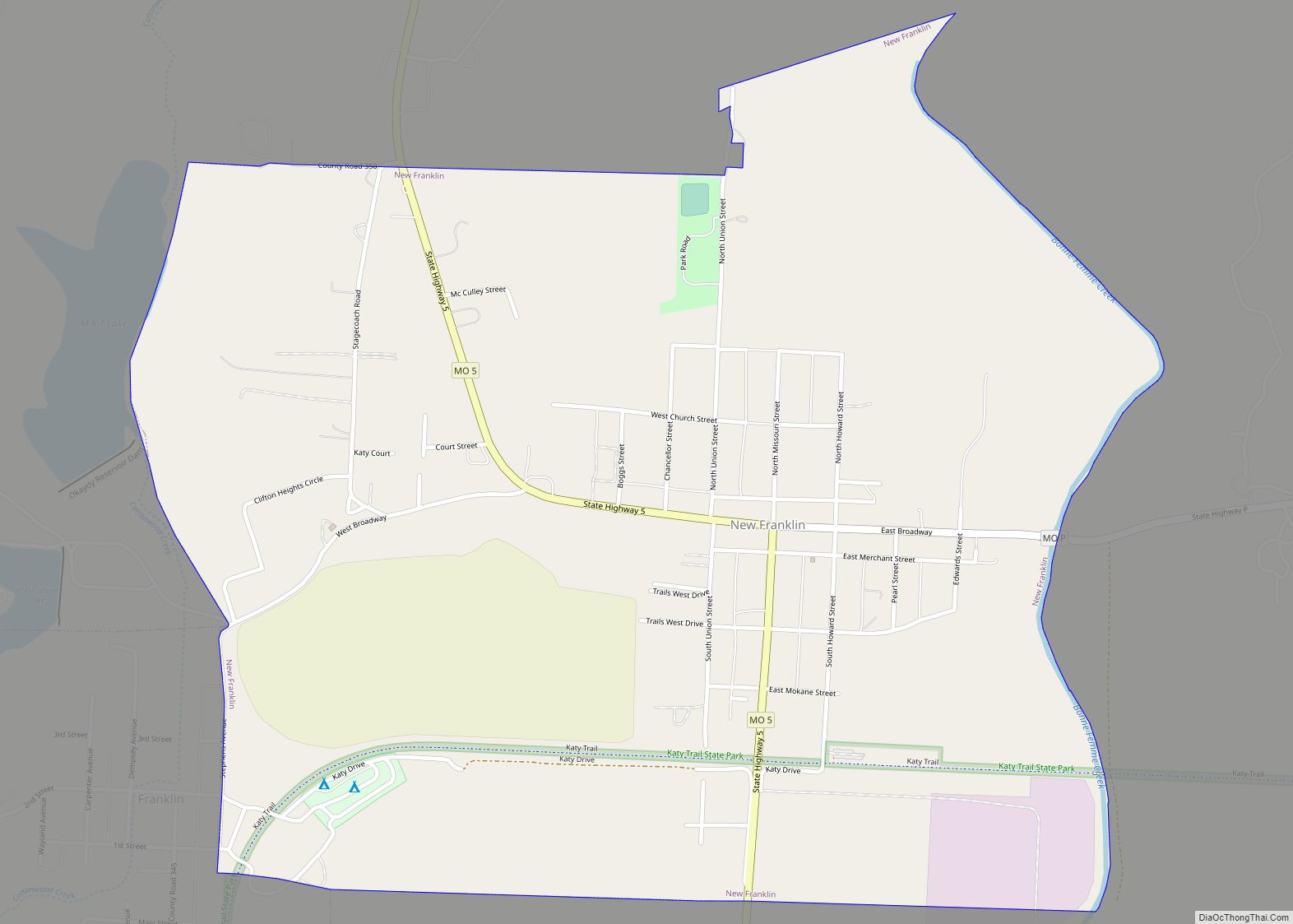
Online Interactive Map
Click on ![]() to view map in "full screen" mode.
to view map in "full screen" mode.
New Franklin location map. Where is New Franklin city?


History
Franklin was laid out in 1816. Due to the town’s frequent flooding, Franklin was relocated up the hill in 1826, giving rise to the community of New Franklin. Franklin’s name is taken from the name of Benjamin Franklin.
The Harris-Chilton-Ruble House, Thomas Hickman House, New Franklin Commercial Historic District, and Rivercene are listed on the National Register of Historic Places.
New Franklin Road Map
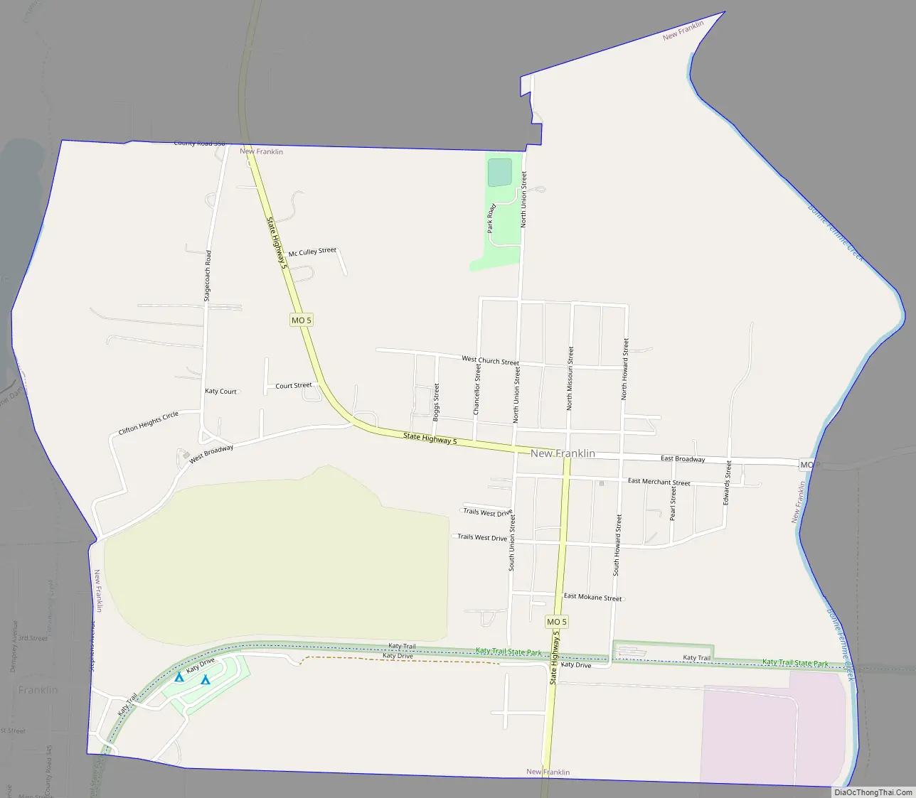
New Franklin city Satellite Map

Geography
New Franklin is located at 39°0′58″N 92°44′18″W / 39.01611°N 92.73833°W / 39.01611; -92.73833 (39.016071, -92.738308). According to the United States Census Bureau, the city has a total area of 1.34 square miles (3.47 km), of which 1.33 square miles (3.44 km) is land and 0.01 square miles (0.03 km) is water.
See also
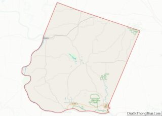
Map of Missouri State and its subdivision:- Adair
- Andrew
- Atchison
- Audrain
- Barry
- Barton
- Bates
- Benton
- Bollinger
- Boone
- Buchanan
- Butler
- Caldwell
- Callaway
- Camden
- Cape Girardeau
- Carroll
- Carter
- Cass
- Cedar
- Chariton
- Christian
- Clark
- Clay
- Clinton
- Cole
- Cooper
- Crawford
- Dade
- Dallas
- Daviess
- De Kalb
- Dent
- Douglas
- Dunklin
- Franklin
- Gasconade
- Gentry
- Greene
- Grundy
- Harrison
- Henry
- Hickory
- Holt
- Howard
- Howell
- Iron
- Jackson
- Jasper
- Jefferson
- Johnson
- Knox
- Laclede
- Lafayette
- Lawrence
- Lewis
- Lincoln
- Linn
- Livingston
- Macon
- Madison
- Maries
- Marion
- McDonald
- Mercer
- Miller
- Mississippi
- Moniteau
- Monroe
- Montgomery
- Morgan
- New Madrid
- Newton
- Nodaway
- Oregon
- Osage
- Ozark
- Pemiscot
- Perry
- Pettis
- Phelps
- Pike
- Platte
- Polk
- Pulaski
- Putnam
- Ralls
- Randolph
- Ray
- Reynolds
- Ripley
- Saint Charles
- Saint Clair
- Saint Francois
- Saint Louis
- Sainte Genevieve
- Saline
- Schuyler
- Scotland
- Scott
- Shannon
- Shelby
- Stoddard
- Stone
- Sullivan
- Taney
- Texas
- Vernon
- Warren
- Washington
- Wayne
- Webster
- Worth
- Wright
- Alabama
- Alaska
- Arizona
- Arkansas
- California
- Colorado
- Connecticut
- Delaware
- District of Columbia
- Florida
- Georgia
- Hawaii
- Idaho
- Illinois
- Indiana
- Iowa
- Kansas
- Kentucky
- Louisiana
- Maine
- Maryland
- Massachusetts
- Michigan
- Minnesota
- Mississippi
- Missouri
- Montana
- Nebraska
- Nevada
- New Hampshire
- New Jersey
- New Mexico
- New York
- North Carolina
- North Dakota
- Ohio
- Oklahoma
- Oregon
- Pennsylvania
- Rhode Island
- South Carolina
- South Dakota
- Tennessee
- Texas
- Utah
- Vermont
- Virginia
- Washington
- West Virginia
- Wisconsin
- Wyoming