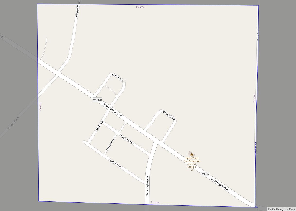
Truxton is a village in Lincoln County, Missouri, United States. The population was 91 at the 2010 census. Truxton village overview: Name: Truxton village LSAD Code: 47 LSAD Description: village (suffix) State: Missouri County: Lincoln County Elevation: 712 ft (217 m) Total Area: 0.27 sq mi (0.69 km²) Land Area: 0.27 sq mi (0.69 km²) Water Area: 0.00 sq mi (0.00 km²) Total Population: 59 Population ... Read more
Missouri Cities and Places
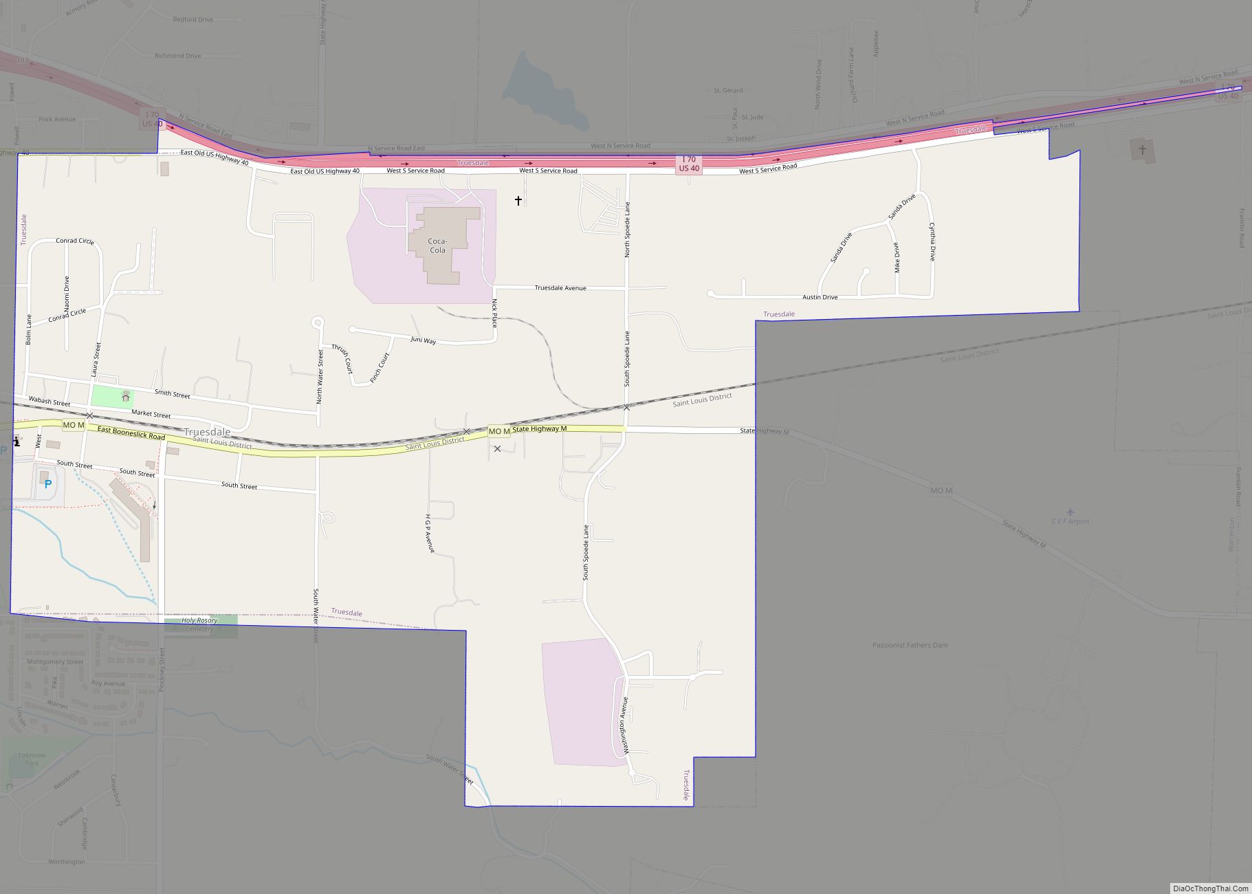
Truesdale is a city in Warren County, Missouri, United States. It is directly adjacent to the east of Warrenton and is part of the St. Louis MSA. The population was 732 according to the 2010 Census. Truesdale city overview: Name: Truesdale city LSAD Code: 25 LSAD Description: city (suffix) State: Missouri County: Warren County Elevation: ... Read more
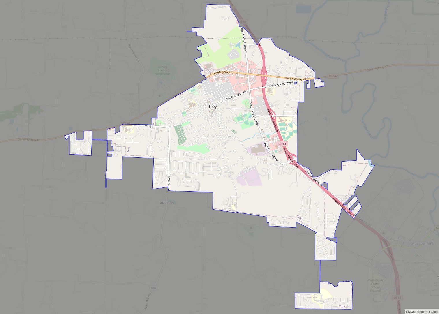
Troy is a city in Lincoln County, Missouri, United States. As of 2019, the estimated population was 12,820. It is the county seat of Lincoln County. Troy is an exurb of St. Louis, and is part of the St. Louis Metropolitan Statistical Area. Troy city overview: Name: Troy city LSAD Code: 25 LSAD Description: city ... Read more
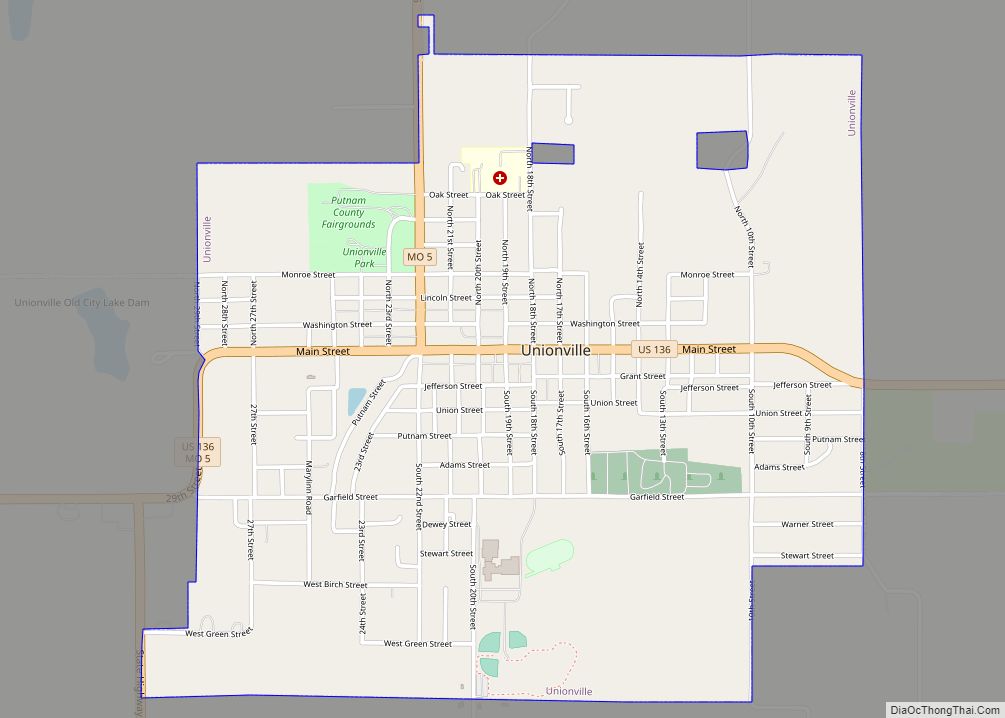
Unionville is a city in Putnam County, Missouri, United States. The population was 1,735 at the 2020 census. It is the county seat of Putnam County. Unionville city overview: Name: Unionville city LSAD Code: 25 LSAD Description: city (suffix) State: Missouri County: Putnam County Elevation: 1,047 ft (319 m) Total Area: 2.00 sq mi (5.17 km²) Land Area: 2.00 sq mi (5.17 km²) ... Read more
Union is a city in and the county seat of Franklin County, Missouri, United States. It is located on the Bourbeuse River, 50 miles (80 km) southwest of St. Louis. The population was 12,348 at the 2020 census. Union city overview: Name: Union city LSAD Code: 25 LSAD Description: city (suffix) State: Missouri County: Franklin County ... Read more
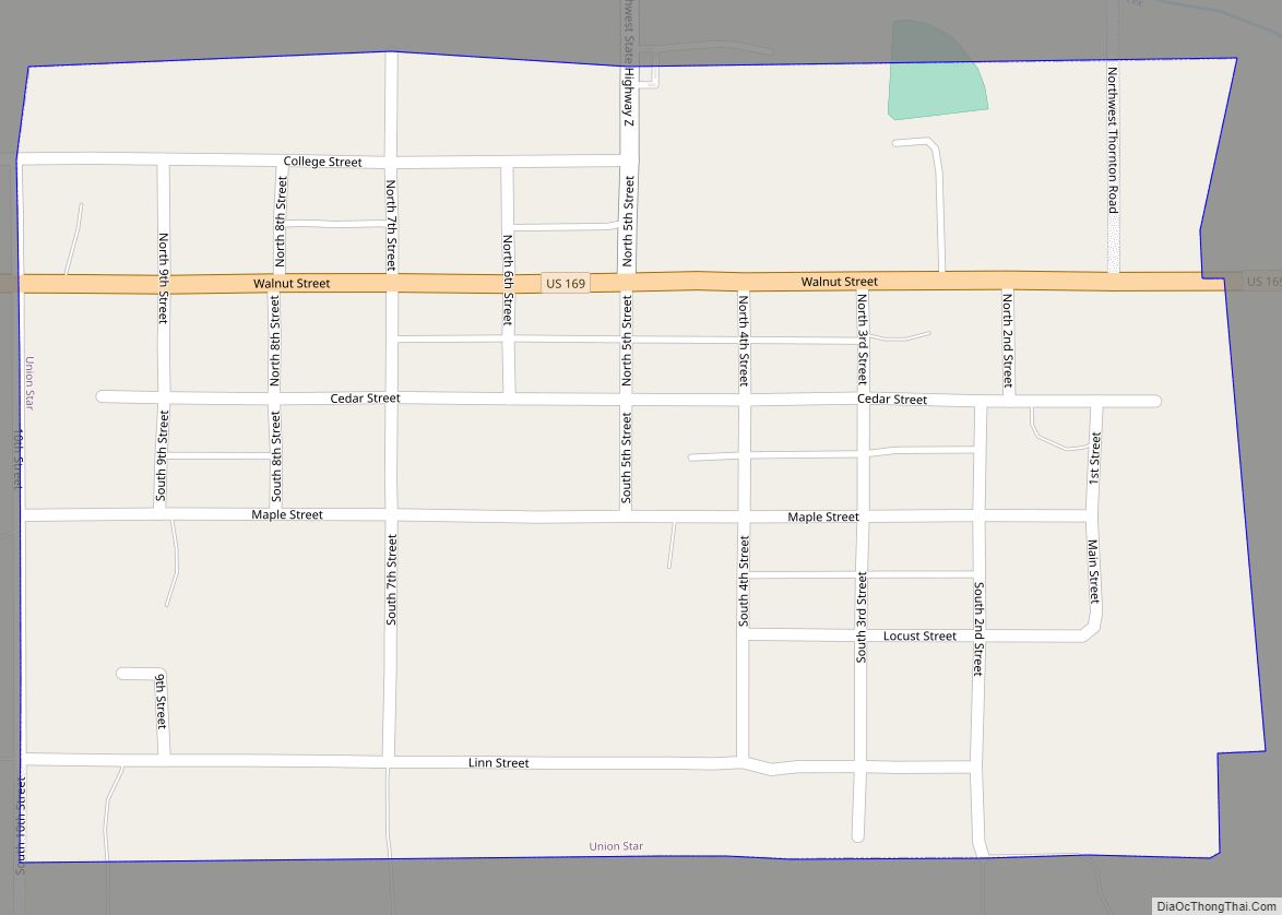
Union Star is a city in northwest DeKalb County, Missouri, United States, along the Third Fork of the Platte River. The population was 380 at the 2020 census. It is part of the St. Joseph, MO–KS Metropolitan Statistical Area. Union Star town overview: Name: Union Star town LSAD Code: 43 LSAD Description: town (suffix) State: ... Read more
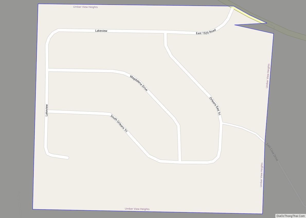
Umber View Heights is a village in Cedar County, Missouri, United States. The population was 41 at the 2020 census. The name Umber is derived from one Mr. Umber, the proprietor of an early-20th-century country store. Umber View Heights village overview: Name: Umber View Heights village LSAD Code: 47 LSAD Description: village (suffix) State: Missouri ... Read more
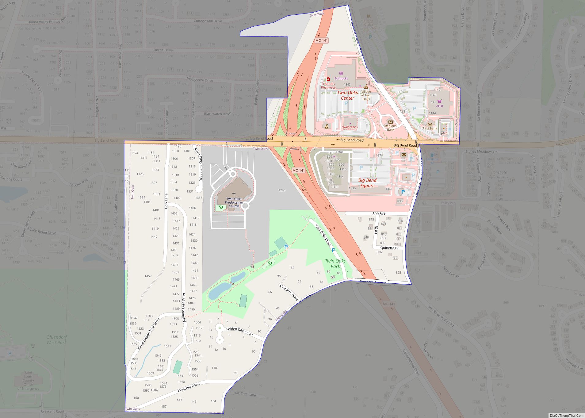
Twin Oaks is a 4th class city in St. Louis County, Missouri, United States. The former Village of Twin Oaks changed its status to that of a city by public election in November 2016. The population was 392 at the 2010 census. Twin Oaks village overview: Name: Twin Oaks village LSAD Code: 47 LSAD Description: ... Read more
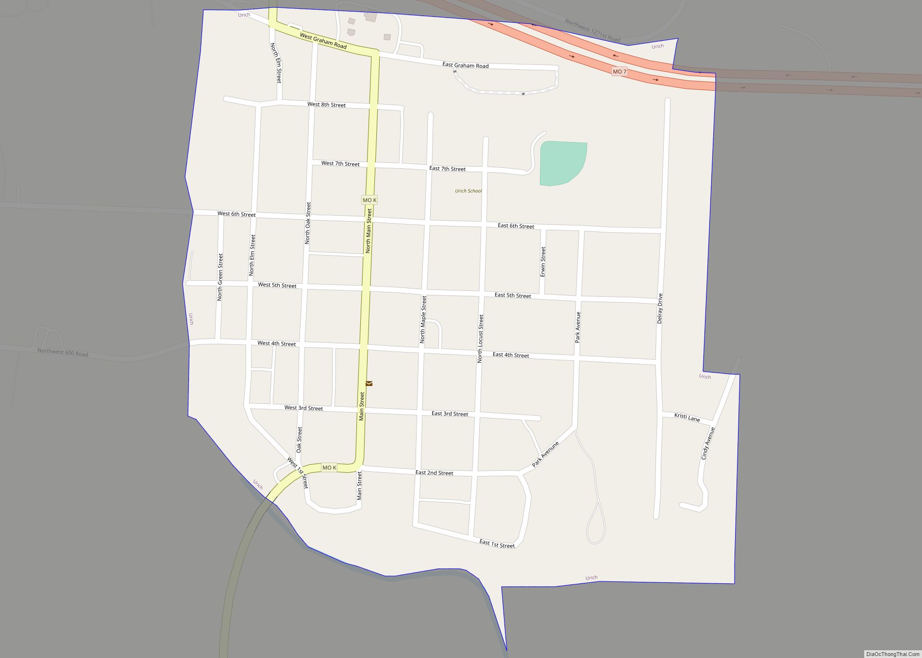
Urich is a city in Henry County, Missouri, United States. The population was 505 at the 2010 census. Urich city overview: Name: Urich city LSAD Code: 25 LSAD Description: city (suffix) State: Missouri County: Henry County Elevation: 768 ft (234 m) Total Area: 0.40 sq mi (1.05 km²) Land Area: 0.40 sq mi (1.05 km²) Water Area: 0.00 sq mi (0.00 km²) Total Population: 463 Population ... Read more
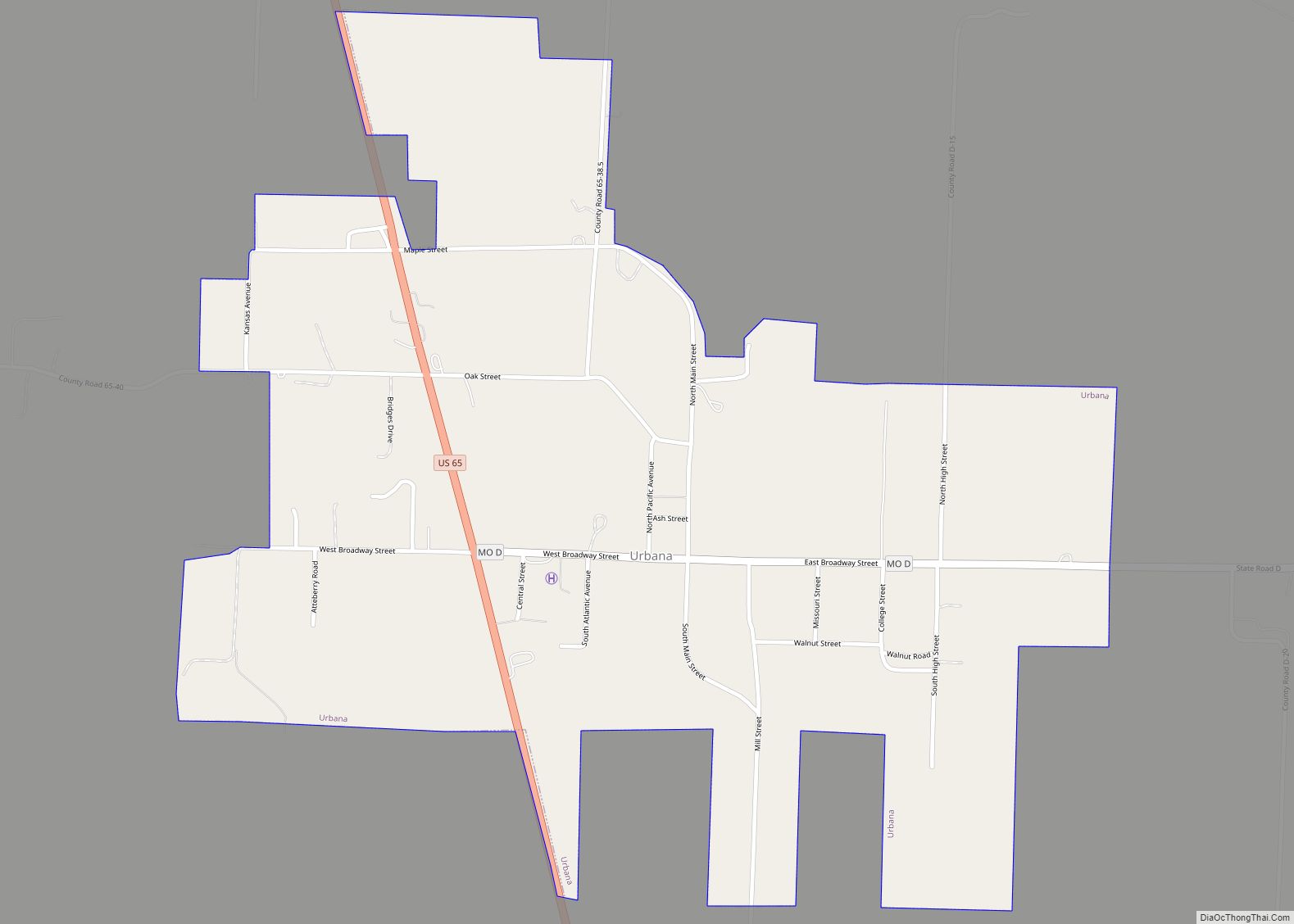
Urbana is a city in Dallas County, Missouri, United States. The population was 414 at the 2010 census. It is part of the Springfield, Missouri Metropolitan Statistical Area. Urbana city overview: Name: Urbana city LSAD Code: 25 LSAD Description: city (suffix) State: Missouri County: Dallas County Elevation: 1,034 ft (315 m) Total Area: 0.96 sq mi (2.49 km²) Land Area: ... Read more
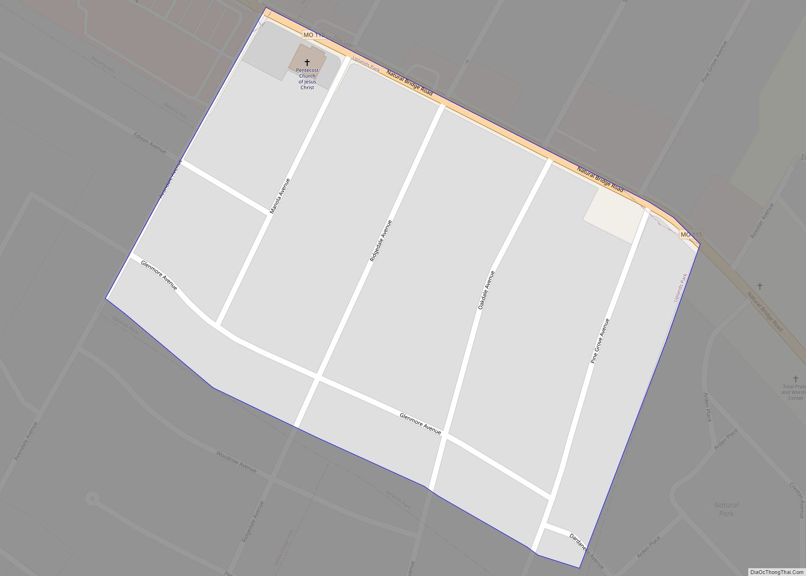
Uplands Park is a village in St. Louis County, Missouri, United States. The population was 445 at the 2010 census. The village is one of many small majority black communities located in the Natural Bridge corridor of mid-St. Louis County, characterized by small homes on small lots. Uplands Park village overview: Name: Uplands Park village ... Read more
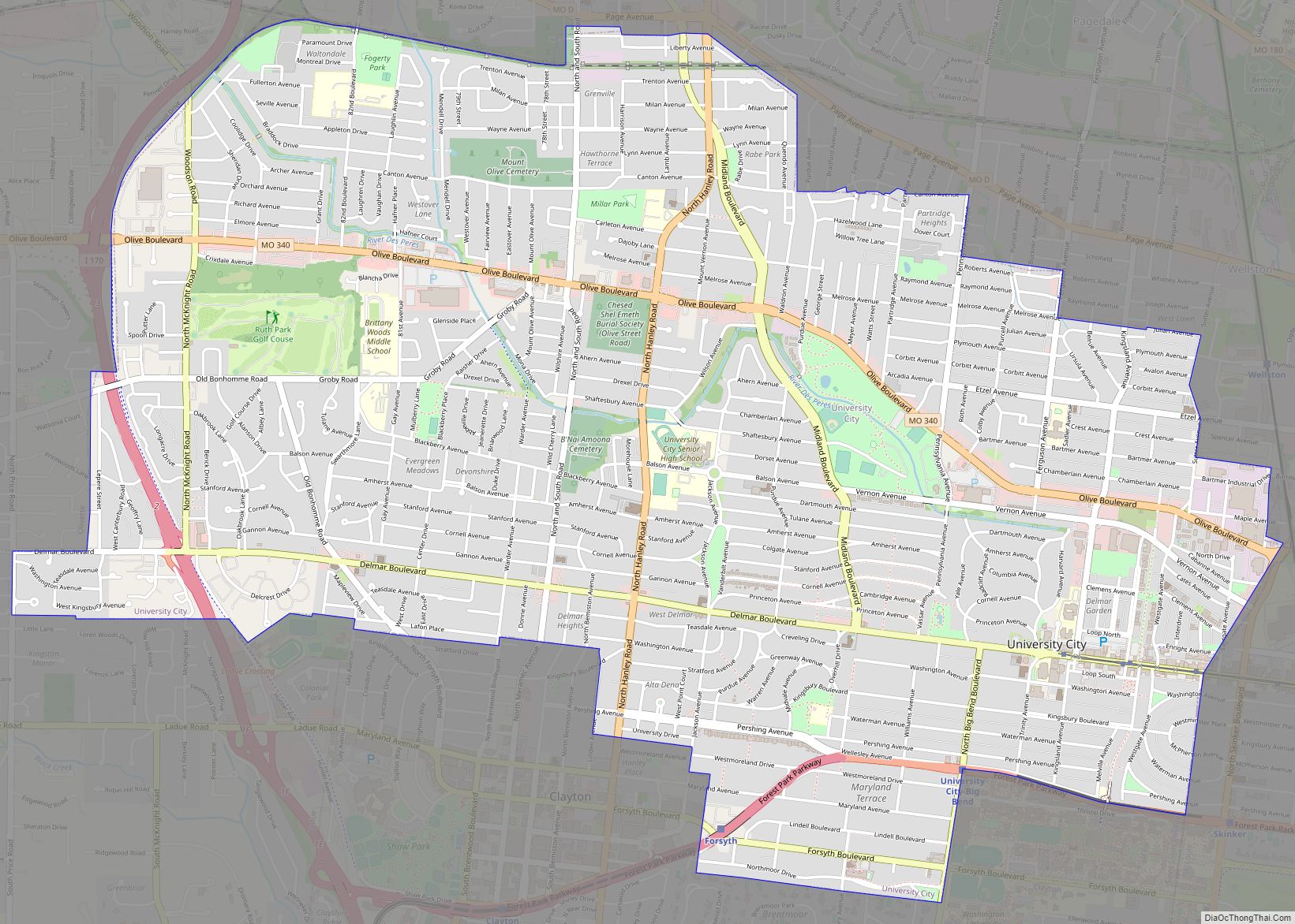
University City (colloquially, U. City) is an inner-ring suburb of the city of St. Louis in St. Louis County, in the U.S. state of Missouri. The population was measured at 35,065 by the 2020 census. The city is one of the older suburbs in the St. Louis area, having been a streetcar suburb in the ... Read more
