University City (colloquially, U. City) is an inner-ring suburb of the city of St. Louis in St. Louis County, in the U.S. state of Missouri. The population was measured at 35,065 by the 2020 census.
The city is one of the older suburbs in the St. Louis area, having been a streetcar suburb in the late 19th and early 20th centuries; much historic architecture remains in the southern, older portion of the city, particularly along Delmar Boulevard. The northern portions of the city, mostly developed after World War II, have more of a suburban feel with many shopping centers and other automobile-centered development. The city is named for nearby Washington University.
University City has much municipal open space, the largest parcels being 85-acre (340,000 m) Heman Park (which includes recreation and community centers and public pool facilities) and Ruth Park (a public golf course and nature trails). The city has four elementary schools, one middle school, two Catholic grade schools, one Jewish high school, and one public high school. The School District of University City is separately managed from other school districts in the area.
| Name: | University City city |
|---|---|
| LSAD Code: | 25 |
| LSAD Description: | city (suffix) |
| State: | Missouri |
| County: | St. Louis County |
| Elevation: | 525 ft (160 m) |
| Total Area: | 5.88 sq mi (15.23 km²) |
| Land Area: | 5.88 sq mi (15.23 km²) |
| Water Area: | 0.00 sq mi (0.00 km²) |
| Total Population: | 35,065 |
| Population Density: | 5,961.41/sq mi (2,301.72/km²) |
| FIPS code: | 2975220 |
| GNISfeature ID: | 2397091 |
Online Interactive Map
Click on ![]() to view map in "full screen" mode.
to view map in "full screen" mode.
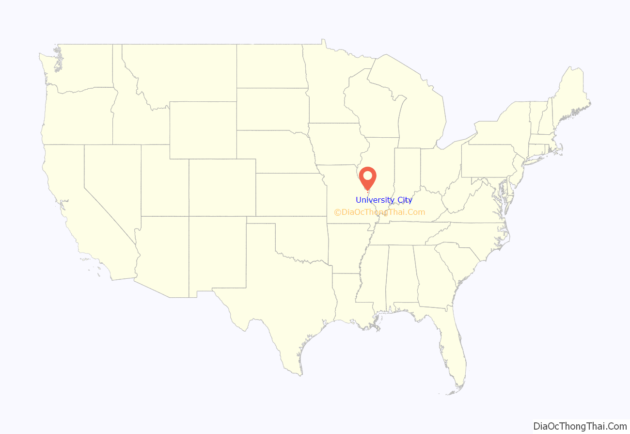
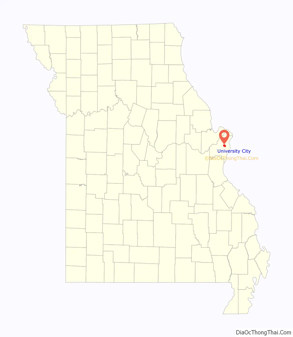
University City location map. Where is University City city?
History
In the late 19th century, the area that is now University City was primarily farms and small farming communities. In 1902, Edward Gardner Lewis purchased 85 acres just outside the city limits of St. Louis, northwest of Forest Park, where the St. Louis World’s Fair would be held two years later in 1904. Lewis was the publisher of Woman’s Magazine and Woman’s Farm Journal. The 85-acre area would be the headquarters for Lewis’s publishing company, as well the site for a model city, inspired by the City Beautiful movement.
In 1903, Lewis broke ground for his publishing company’s headquarters: the Magazine Building (now City Hall), an ornate octagonal 135-foot tower. Soon, other architecturally significant structures and developments were erected, including an austere Egyptian temple, the Art Academy, and the Lion Gates. The Egyptian temple once served as a Masonic Temple and is now home to the Church of Scientology of St. Louis. The Art Academy and the Lion Gates were designed by the Eames & Young architecture firm, which enlisted sculptor George Julian Zolnay to create the Lion Gates.
University City was formally incorporated in September 1906 and Lewis became its first mayor. Between 1910 and 1920, University City grew faster than any other city in Missouri. By the 1920s, University City’s main business corridor, along Delmar Boulevard just north of Washington University, was a bustling commercial district with new multifamily housing attracting new residents. Streetcars were the primary mode of transportation for shoppers and residents alike. After World War II, the city experienced its greatest housing construction.
In the 1960s, Black people displaced by urban renewal projects in the city of St. Louis began to move west into St. Louis County. “University City was the first county municipality to struggle with the issues of fair housing and traditions of segregation,” Nini Harris wrote. One innovative and controversial attempt to combat segregation was The University City Home Rental Trust.
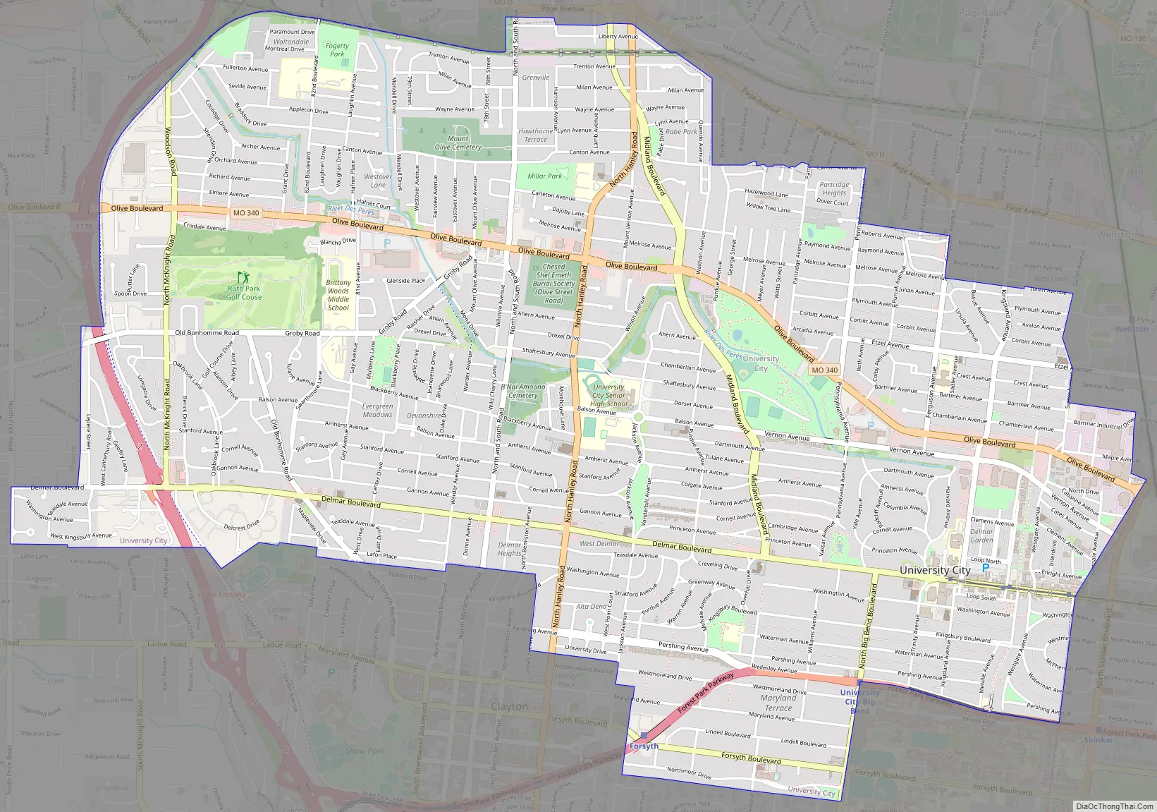
University City Road Map
University City city Satellite Map

Geography
University City’s southern border is approximated by Northmoor. The eastern border is approximated by Skinker Boulevard. The western border is approximated by old McKnight, some of which is now Interstate 170.
According to the United States Census Bureau, the city has a total area of 5.90 square miles (15.28 km), all of it land.
The highest point of University City is the western terminus of Delmar Boulevard, at the tri-border of University City, Ladue, and Olivette.
The city also contains part of Midland Boulevard, which divides the watersheds of the Mississippi River and the Missouri River. The River Des Peres rises in the hills near the University City and Clayton boundary, flows north, takes a strong turn at Ruth Park, and then runs through culverts southeast through the city of St. Louis to debouche in the Mississippi River.
See also
Map of Missouri State and its subdivision:- Adair
- Andrew
- Atchison
- Audrain
- Barry
- Barton
- Bates
- Benton
- Bollinger
- Boone
- Buchanan
- Butler
- Caldwell
- Callaway
- Camden
- Cape Girardeau
- Carroll
- Carter
- Cass
- Cedar
- Chariton
- Christian
- Clark
- Clay
- Clinton
- Cole
- Cooper
- Crawford
- Dade
- Dallas
- Daviess
- De Kalb
- Dent
- Douglas
- Dunklin
- Franklin
- Gasconade
- Gentry
- Greene
- Grundy
- Harrison
- Henry
- Hickory
- Holt
- Howard
- Howell
- Iron
- Jackson
- Jasper
- Jefferson
- Johnson
- Knox
- Laclede
- Lafayette
- Lawrence
- Lewis
- Lincoln
- Linn
- Livingston
- Macon
- Madison
- Maries
- Marion
- McDonald
- Mercer
- Miller
- Mississippi
- Moniteau
- Monroe
- Montgomery
- Morgan
- New Madrid
- Newton
- Nodaway
- Oregon
- Osage
- Ozark
- Pemiscot
- Perry
- Pettis
- Phelps
- Pike
- Platte
- Polk
- Pulaski
- Putnam
- Ralls
- Randolph
- Ray
- Reynolds
- Ripley
- Saint Charles
- Saint Clair
- Saint Francois
- Saint Louis
- Sainte Genevieve
- Saline
- Schuyler
- Scotland
- Scott
- Shannon
- Shelby
- Stoddard
- Stone
- Sullivan
- Taney
- Texas
- Vernon
- Warren
- Washington
- Wayne
- Webster
- Worth
- Wright
- Alabama
- Alaska
- Arizona
- Arkansas
- California
- Colorado
- Connecticut
- Delaware
- District of Columbia
- Florida
- Georgia
- Hawaii
- Idaho
- Illinois
- Indiana
- Iowa
- Kansas
- Kentucky
- Louisiana
- Maine
- Maryland
- Massachusetts
- Michigan
- Minnesota
- Mississippi
- Missouri
- Montana
- Nebraska
- Nevada
- New Hampshire
- New Jersey
- New Mexico
- New York
- North Carolina
- North Dakota
- Ohio
- Oklahoma
- Oregon
- Pennsylvania
- Rhode Island
- South Carolina
- South Dakota
- Tennessee
- Texas
- Utah
- Vermont
- Virginia
- Washington
- West Virginia
- Wisconsin
- Wyoming


