Troy is a city in Lincoln County, Missouri, United States. As of 2019, the estimated population was 12,820. It is the county seat of Lincoln County. Troy is an exurb of St. Louis, and is part of the St. Louis Metropolitan Statistical Area.
| Name: | Troy city |
|---|---|
| LSAD Code: | 25 |
| LSAD Description: | city (suffix) |
| State: | Missouri |
| County: | Lincoln County |
| Elevation: | 515 ft (157 m) |
| Total Area: | 7.76 sq mi (20.10 km²) |
| Land Area: | 7.72 sq mi (19.99 km²) |
| Water Area: | 0.04 sq mi (0.11 km²) |
| Total Population: | 12,686 |
| Population Density: | 1,643.48/sq mi (634.53/km²) |
| ZIP code: | 63379 |
| Area code: | 636 |
| FIPS code: | 2973942 |
| GNISfeature ID: | 2397062 |
| Website: | cityoftroymissouri.com |
Online Interactive Map
Click on ![]() to view map in "full screen" mode.
to view map in "full screen" mode.
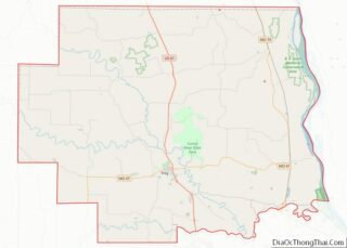
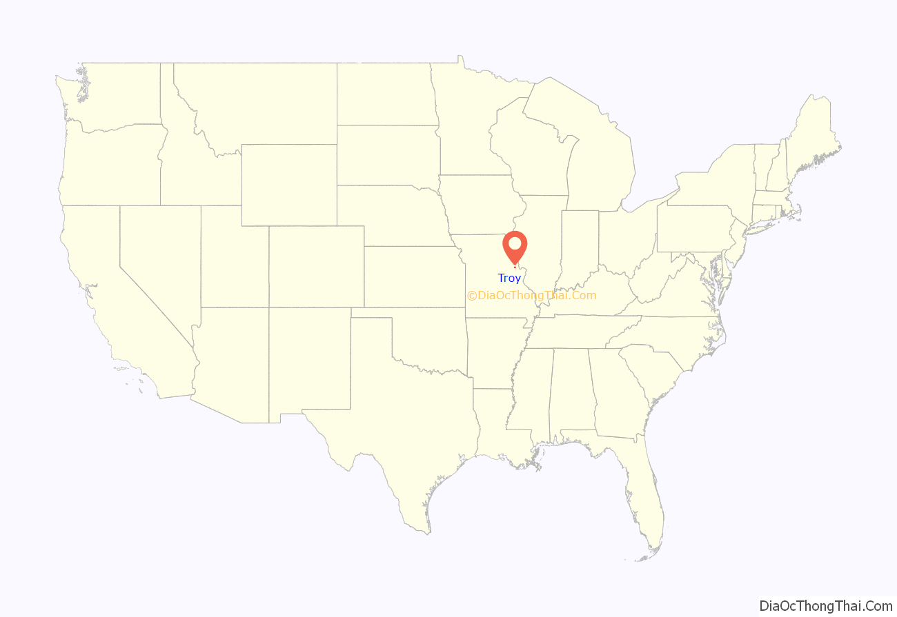
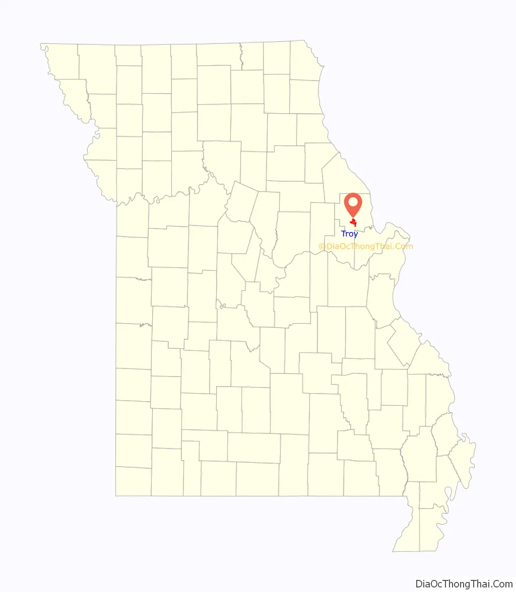
Troy location map. Where is Troy city?
History
Troy was platted in 1819. Some say the community was named after Troy, New York, while others believe the name is a transfer from Troy, Vermont. An early variant name was Woods Fort. A post office called Troy has been in operation since 1823.
Historic sites
Fort Cap au Gris, a War of 1812 fortification, was built near Troy in 1814. Lincoln County Medical Center was established in Troy in 1953 under the Hill-Burton Memorial Hospitals Act, as Lincoln County Memorial Hospital. Cuivre River State Park, one of the largest of Missouri’s state parks, lies approximately three miles to the northeast of Troy, across the Cuivre River valley.
The Downtown Troy Historic District was listed on the National Register of Historic Places in 2013.
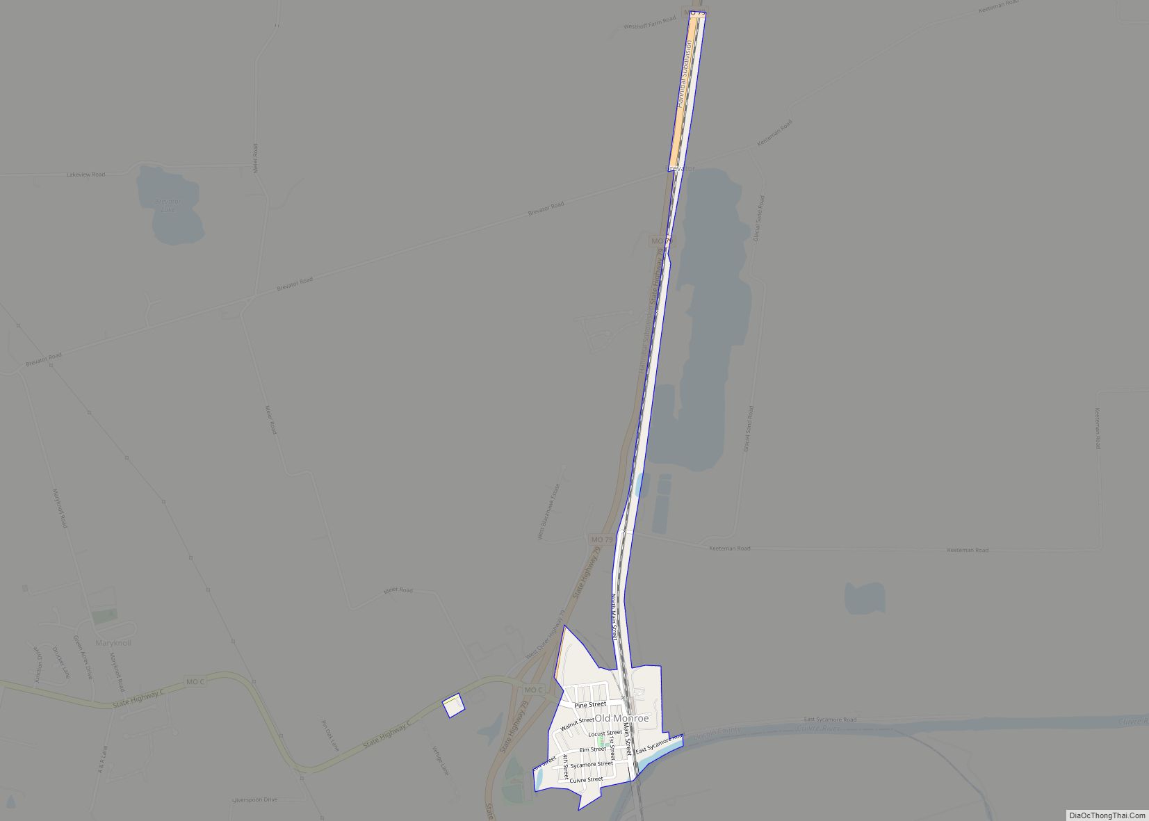
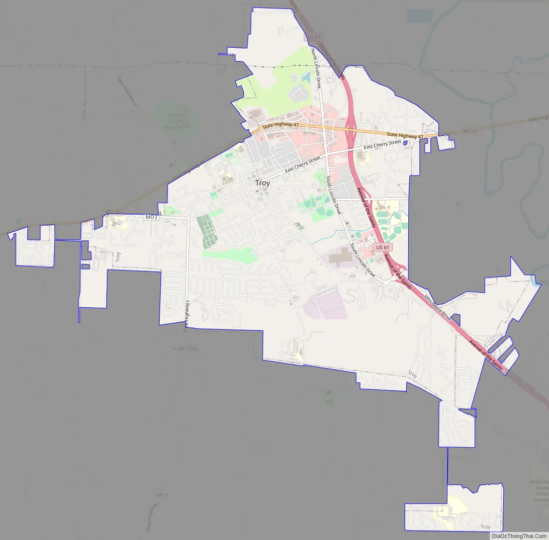
Troy Road Map
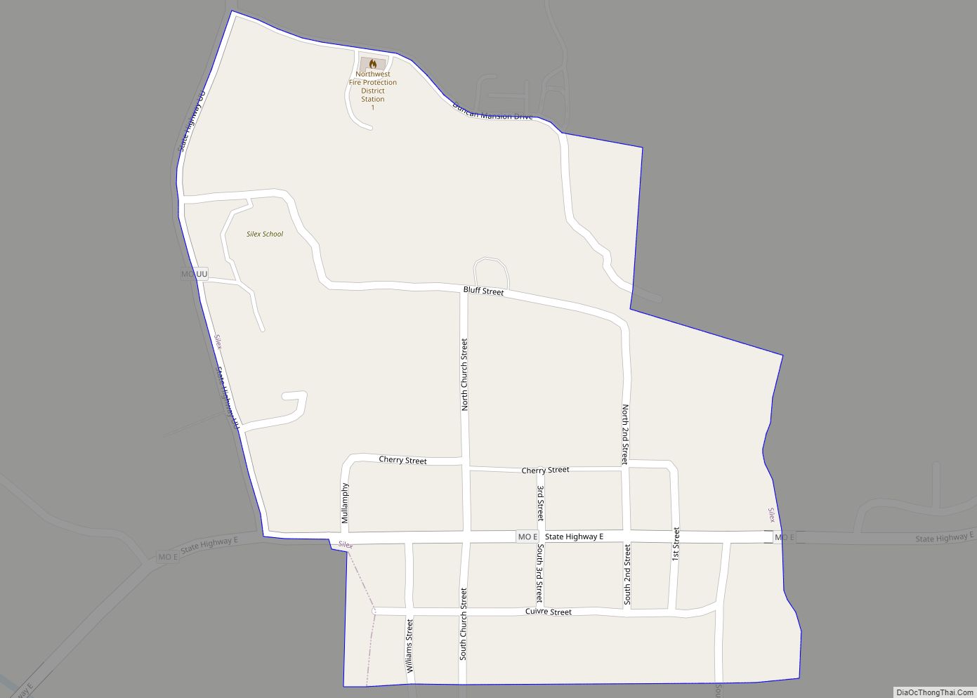
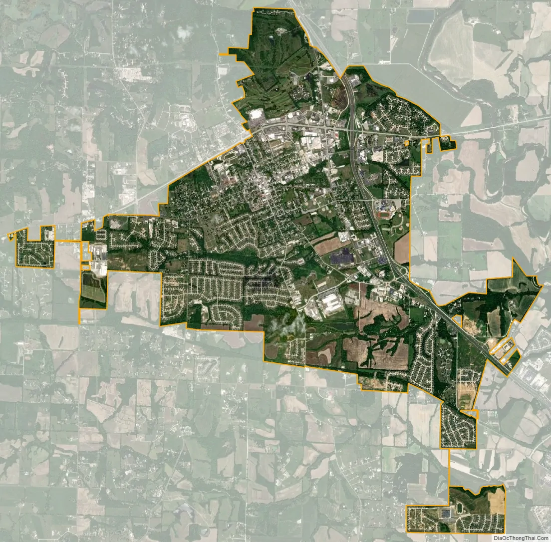
Troy city Satellite Map
Geography
Troy is located two miles west of the Cuivre River. U.S. 61 passes the east side of the city and Missouri Route 47 passes through the north side.
According to the United States Census Bureau, the city has a total area of 7.34 square miles (19.01 km), of which 7.30 square miles (18.91 km) is land and 0.04 square miles (0.10 km) is water.
See also
Map of Missouri State and its subdivision:- Adair
- Andrew
- Atchison
- Audrain
- Barry
- Barton
- Bates
- Benton
- Bollinger
- Boone
- Buchanan
- Butler
- Caldwell
- Callaway
- Camden
- Cape Girardeau
- Carroll
- Carter
- Cass
- Cedar
- Chariton
- Christian
- Clark
- Clay
- Clinton
- Cole
- Cooper
- Crawford
- Dade
- Dallas
- Daviess
- De Kalb
- Dent
- Douglas
- Dunklin
- Franklin
- Gasconade
- Gentry
- Greene
- Grundy
- Harrison
- Henry
- Hickory
- Holt
- Howard
- Howell
- Iron
- Jackson
- Jasper
- Jefferson
- Johnson
- Knox
- Laclede
- Lafayette
- Lawrence
- Lewis
- Lincoln
- Linn
- Livingston
- Macon
- Madison
- Maries
- Marion
- McDonald
- Mercer
- Miller
- Mississippi
- Moniteau
- Monroe
- Montgomery
- Morgan
- New Madrid
- Newton
- Nodaway
- Oregon
- Osage
- Ozark
- Pemiscot
- Perry
- Pettis
- Phelps
- Pike
- Platte
- Polk
- Pulaski
- Putnam
- Ralls
- Randolph
- Ray
- Reynolds
- Ripley
- Saint Charles
- Saint Clair
- Saint Francois
- Saint Louis
- Sainte Genevieve
- Saline
- Schuyler
- Scotland
- Scott
- Shannon
- Shelby
- Stoddard
- Stone
- Sullivan
- Taney
- Texas
- Vernon
- Warren
- Washington
- Wayne
- Webster
- Worth
- Wright
- Alabama
- Alaska
- Arizona
- Arkansas
- California
- Colorado
- Connecticut
- Delaware
- District of Columbia
- Florida
- Georgia
- Hawaii
- Idaho
- Illinois
- Indiana
- Iowa
- Kansas
- Kentucky
- Louisiana
- Maine
- Maryland
- Massachusetts
- Michigan
- Minnesota
- Mississippi
- Missouri
- Montana
- Nebraska
- Nevada
- New Hampshire
- New Jersey
- New Mexico
- New York
- North Carolina
- North Dakota
- Ohio
- Oklahoma
- Oregon
- Pennsylvania
- Rhode Island
- South Carolina
- South Dakota
- Tennessee
- Texas
- Utah
- Vermont
- Virginia
- Washington
- West Virginia
- Wisconsin
- Wyoming