Union is a city in and the county seat of Franklin County, Missouri, United States. It is located on the Bourbeuse River, 50 miles (80 km) southwest of St. Louis. The population was 12,348 at the 2020 census.
| Name: | Union city |
|---|---|
| LSAD Code: | 25 |
| LSAD Description: | city (suffix) |
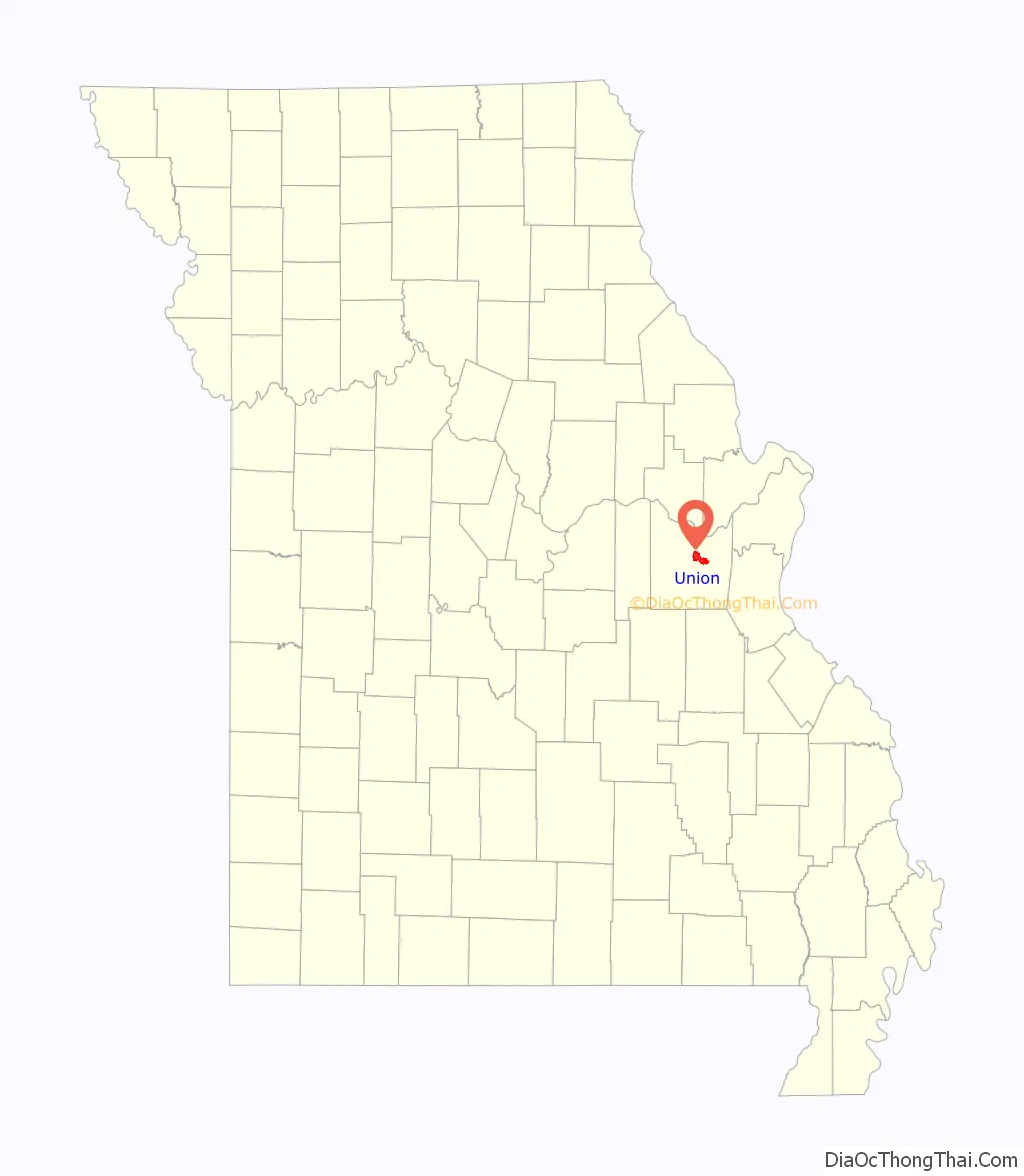
| State: | Missouri |
| County: | Franklin County |
| Founded: | 1826 |
| Elevation: | 528 ft (161 m) |
| Total Area: | 9.03 sq mi (23.38 km²) |
| Land Area: | 9.03 sq mi (23.38 km²) |
| Water Area: | 0.00 sq mi (0.00 km²) |
| Total Population: | 12,348 |
| Population Density: | 1,368.20/sq mi (528.25/km²) |
| ZIP code: | 63084 |
| Area code: | 636 |
| FIPS code: | 2974626 |
| GNISfeature ID: | 2397086 |
| Website: | http://www.unionmissouri.gov/ |
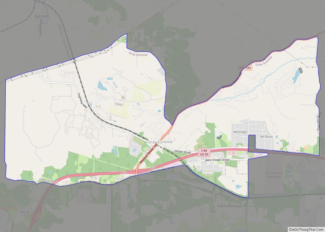
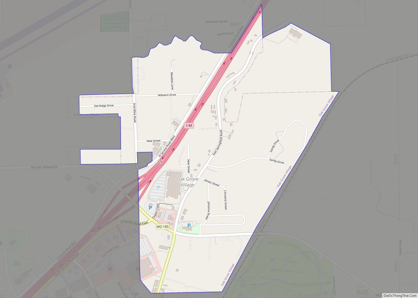
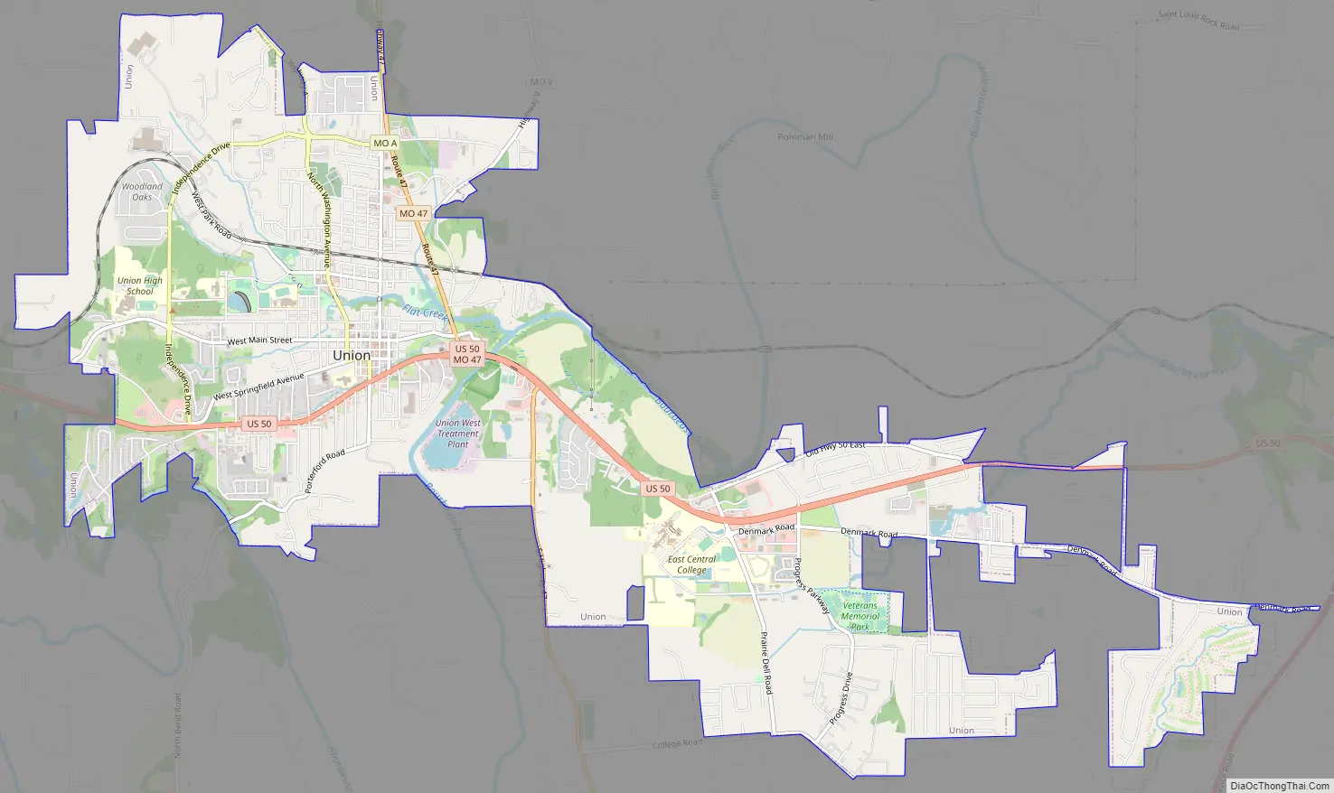
Online Interactive Map
Click on ![]() to view map in "full screen" mode.
to view map in "full screen" mode.
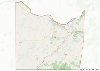
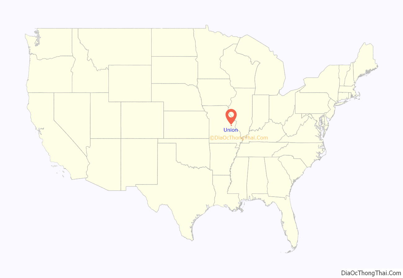
Union location map. Where is Union city?
History
Union was founded in 1826 and designated as the county seat in 1827. The city is named for the ideal of political unity. A post office called Union has been in operation since 1827.
Early German settlers established themselves in and around Franklin County, including what would later be known as Union. German architecture, culture, and especially surnames are still prevalent around Union and surrounding areas. Depending on the definition, the city is within or near a region known as the Missouri Rhineland.
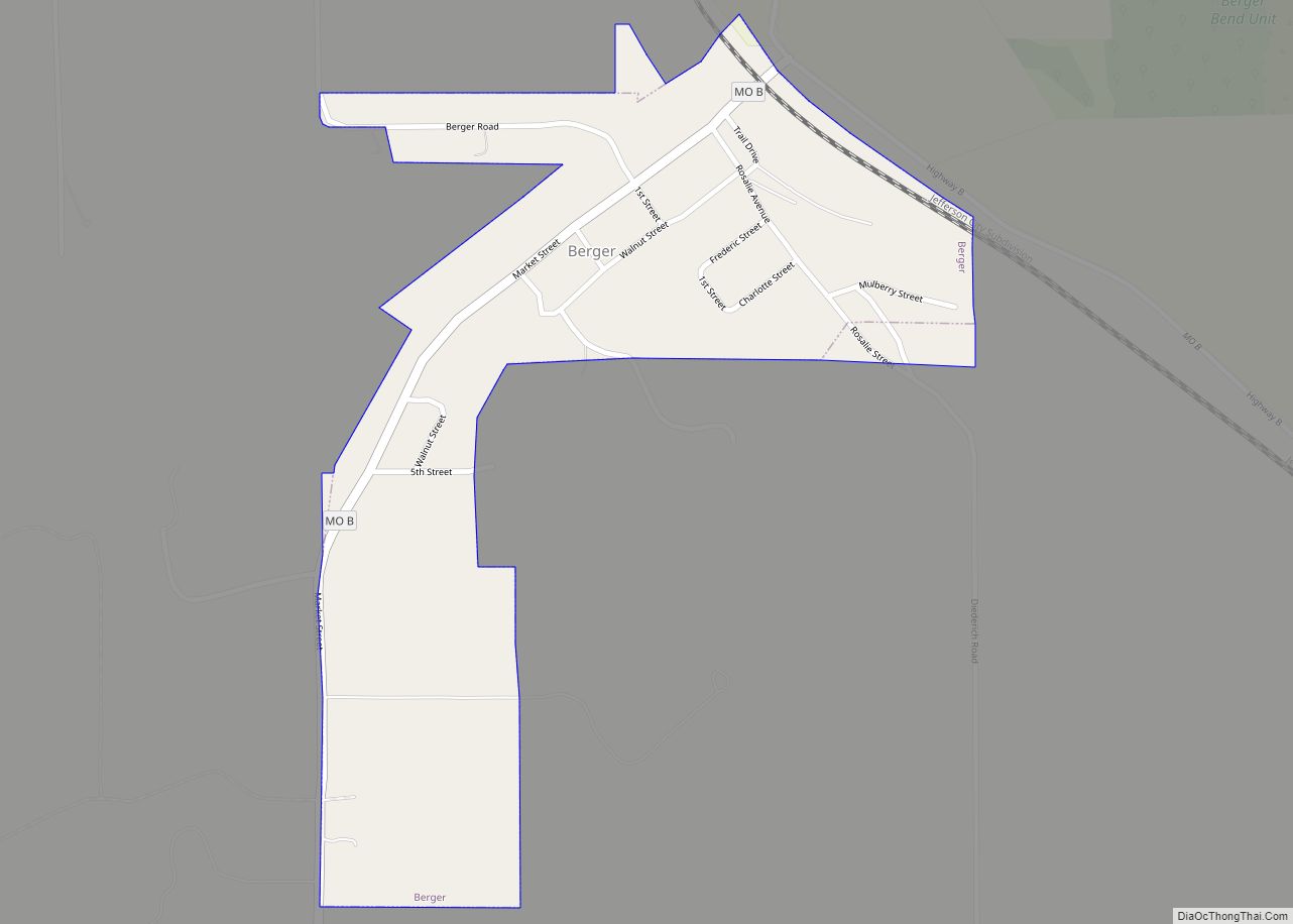
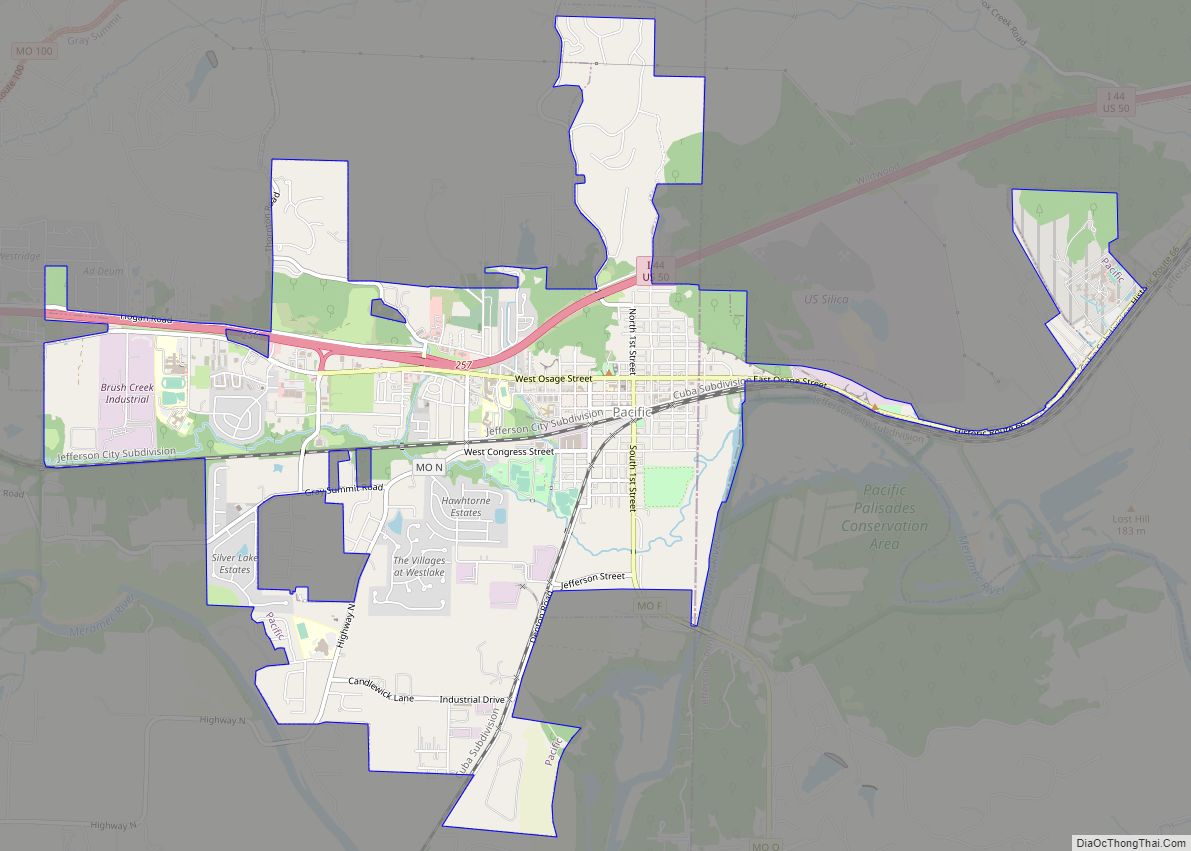
Union Road Map
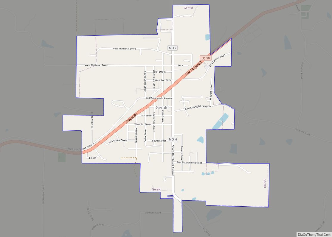
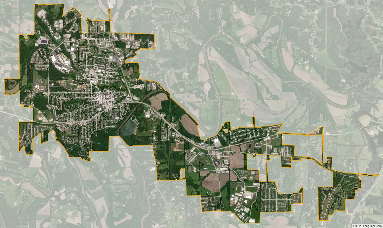
Union city Satellite Map
Geography
The city is located on the northwest side of the Bourbeuse River. US Route 50 passes through the city and I-44 is approximately five miles to the east. Washington, on the Missouri River, is seven miles to the north on Missouri Route 47.
According to the United States Census Bureau, the city has a total area of 9.16 square miles (23.72 km), all land.
See also
Map of Missouri State and its subdivision:- Adair
- Andrew
- Atchison
- Audrain
- Barry
- Barton
- Bates
- Benton
- Bollinger
- Boone
- Buchanan
- Butler
- Caldwell
- Callaway
- Camden
- Cape Girardeau
- Carroll
- Carter
- Cass
- Cedar
- Chariton
- Christian
- Clark
- Clay
- Clinton
- Cole
- Cooper
- Crawford
- Dade
- Dallas
- Daviess
- De Kalb
- Dent
- Douglas
- Dunklin
- Franklin
- Gasconade
- Gentry
- Greene
- Grundy
- Harrison
- Henry
- Hickory
- Holt
- Howard
- Howell
- Iron
- Jackson
- Jasper
- Jefferson
- Johnson
- Knox
- Laclede
- Lafayette
- Lawrence
- Lewis
- Lincoln
- Linn
- Livingston
- Macon
- Madison
- Maries
- Marion
- McDonald
- Mercer
- Miller
- Mississippi
- Moniteau
- Monroe
- Montgomery
- Morgan
- New Madrid
- Newton
- Nodaway
- Oregon
- Osage
- Ozark
- Pemiscot
- Perry
- Pettis
- Phelps
- Pike
- Platte
- Polk
- Pulaski
- Putnam
- Ralls
- Randolph
- Ray
- Reynolds
- Ripley
- Saint Charles
- Saint Clair
- Saint Francois
- Saint Louis
- Sainte Genevieve
- Saline
- Schuyler
- Scotland
- Scott
- Shannon
- Shelby
- Stoddard
- Stone
- Sullivan
- Taney
- Texas
- Vernon
- Warren
- Washington
- Wayne
- Webster
- Worth
- Wright
- Alabama
- Alaska
- Arizona
- Arkansas
- California
- Colorado
- Connecticut
- Delaware
- District of Columbia
- Florida
- Georgia
- Hawaii
- Idaho
- Illinois
- Indiana
- Iowa
- Kansas
- Kentucky
- Louisiana
- Maine
- Maryland
- Massachusetts
- Michigan
- Minnesota
- Mississippi
- Missouri
- Montana
- Nebraska
- Nevada
- New Hampshire
- New Jersey
- New Mexico
- New York
- North Carolina
- North Dakota
- Ohio
- Oklahoma
- Oregon
- Pennsylvania
- Rhode Island
- South Carolina
- South Dakota
- Tennessee
- Texas
- Utah
- Vermont
- Virginia
- Washington
- West Virginia
- Wisconsin
- Wyoming