Eureka (Kutenai: ʔa·knuk̓inʔis) is a town in Lincoln County, Montana, United States, 9 miles (14 km) south of the Canada–US border. The population was 1,380 at the 2020 census. The town’s mayor is LeeAnn Schermerhorn. Eureka town overview: Name: Eureka town LSAD Code: 43 LSAD Description: town (suffix) State: Montana County: Lincoln County Elevation: 2,582 ft (787 m) ... Read more
Montana Cities and Places
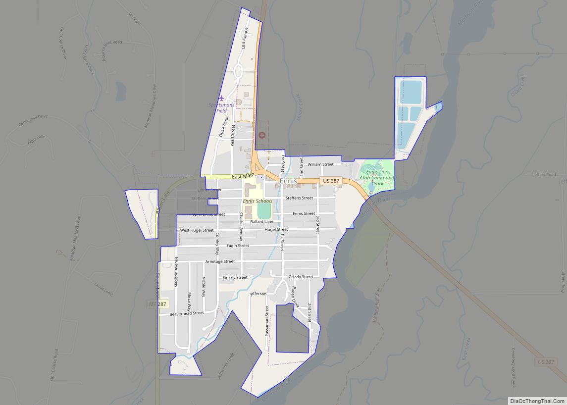
Ennis is a town in Madison County, Montana, United States, in the southwestern part of the state. The population was 917 at the 2020 census. U.S. Route 287 runs through town, following the Madison River as it descends from the town of West Yellowstone. Ennis town overview: Name: Ennis town LSAD Code: 43 LSAD Description: ... Read more
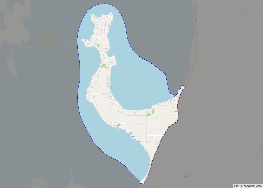
Finley Point (Salish: sčc̓méple ) is a census-designated place (CDP) in Lake County, Montana, United States. As of the 2010 census the population was 480. Finley Point CDP overview: Name: Finley Point CDP LSAD Code: 57 LSAD Description: CDP (suffix) State: Montana County: Lake County Elevation: 2,927 ft (892 m) Total Area: 11.39 sq mi (29.51 km²) Land Area: 4.27 sq mi ... Read more
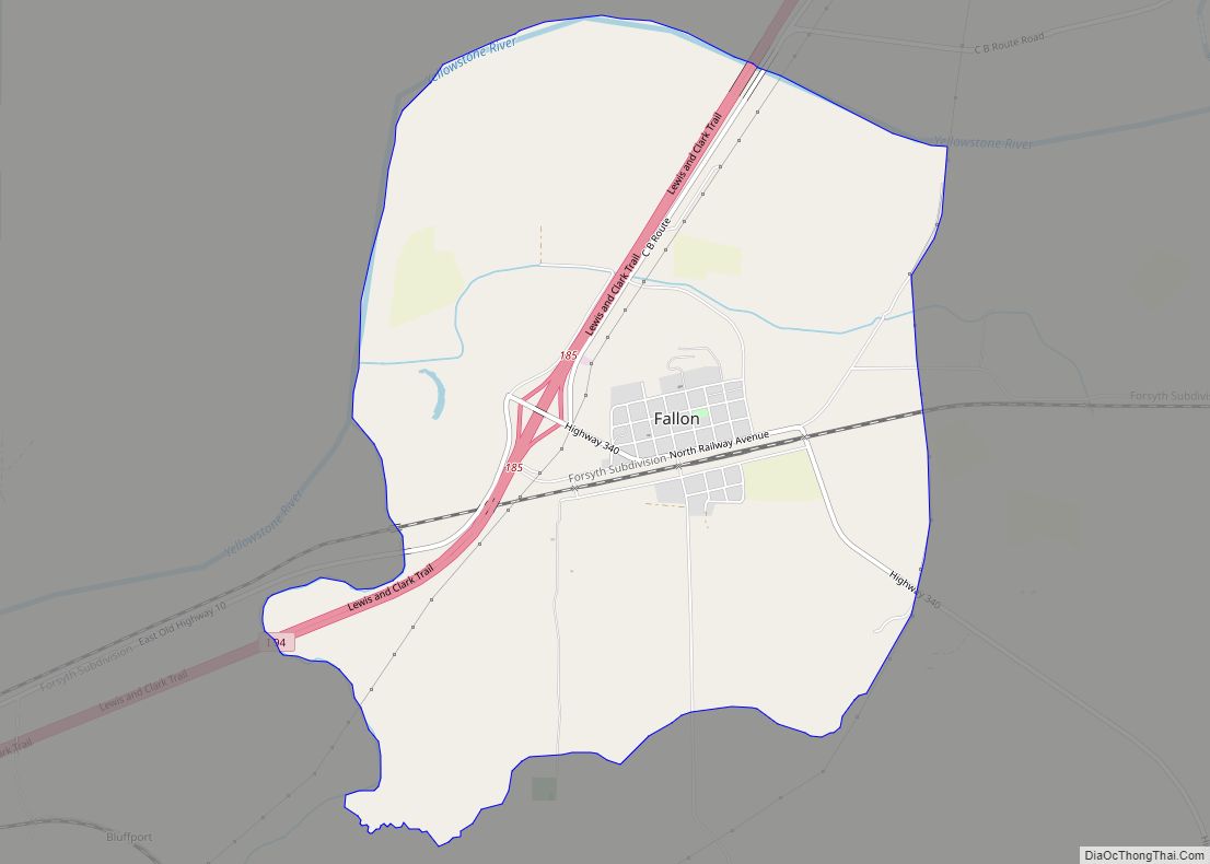
Fallon is an unincorporated small town in Prairie County, Montana, United States. The population was 164 at the 2010 census., although, as the town name has been co-opted for use by the United States Census Bureau as a census-designated place, this figure may include persons living well outside the town’s limits. Fallon’s current mayor is ... Read more
Fairview is a town in Richland County, Montana, United States. The population was 896 at the 2020 census. The town is directly on the North Dakota border. Fairview incorporated in 1913. Fairview town overview: Name: Fairview town LSAD Code: 43 LSAD Description: town (suffix) State: Montana County: Richland County Elevation: 1,913 ft (583 m) Total Area: 0.80 sq mi ... Read more
Florence (Salish: čp̓úƛ̓us ) is a census-designated place (CDP) in Ravalli County, Montana, United States. The population was 821 at the 2020 census. Florence CDP overview: Name: Florence CDP LSAD Code: 57 LSAD Description: CDP (suffix) State: Montana County: Ravalli County Elevation: 3,265 ft (995 m) Total Area: 0.77 sq mi (1.99 km²) Land Area: 0.77 sq mi (1.99 km²) Water Area: 0.00 sq mi ... Read more
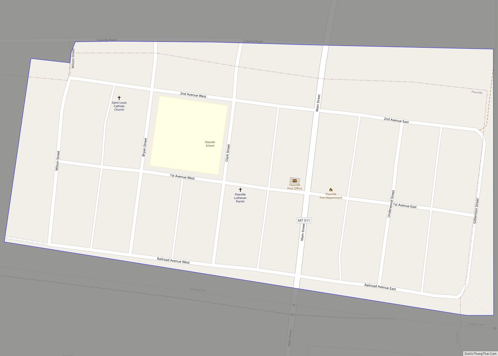
Flaxville is a town in Daniels County, Montana, United States. The population was 63 at the 2020 census. Flaxville town overview: Name: Flaxville town LSAD Code: 43 LSAD Description: town (suffix) State: Montana County: Daniels County Elevation: 2,782 ft (848 m) Total Area: 0.08 sq mi (0.20 km²) Land Area: 0.08 sq mi (0.20 km²) Water Area: 0.00 sq mi (0.00 km²) Total Population: 63 Population ... Read more
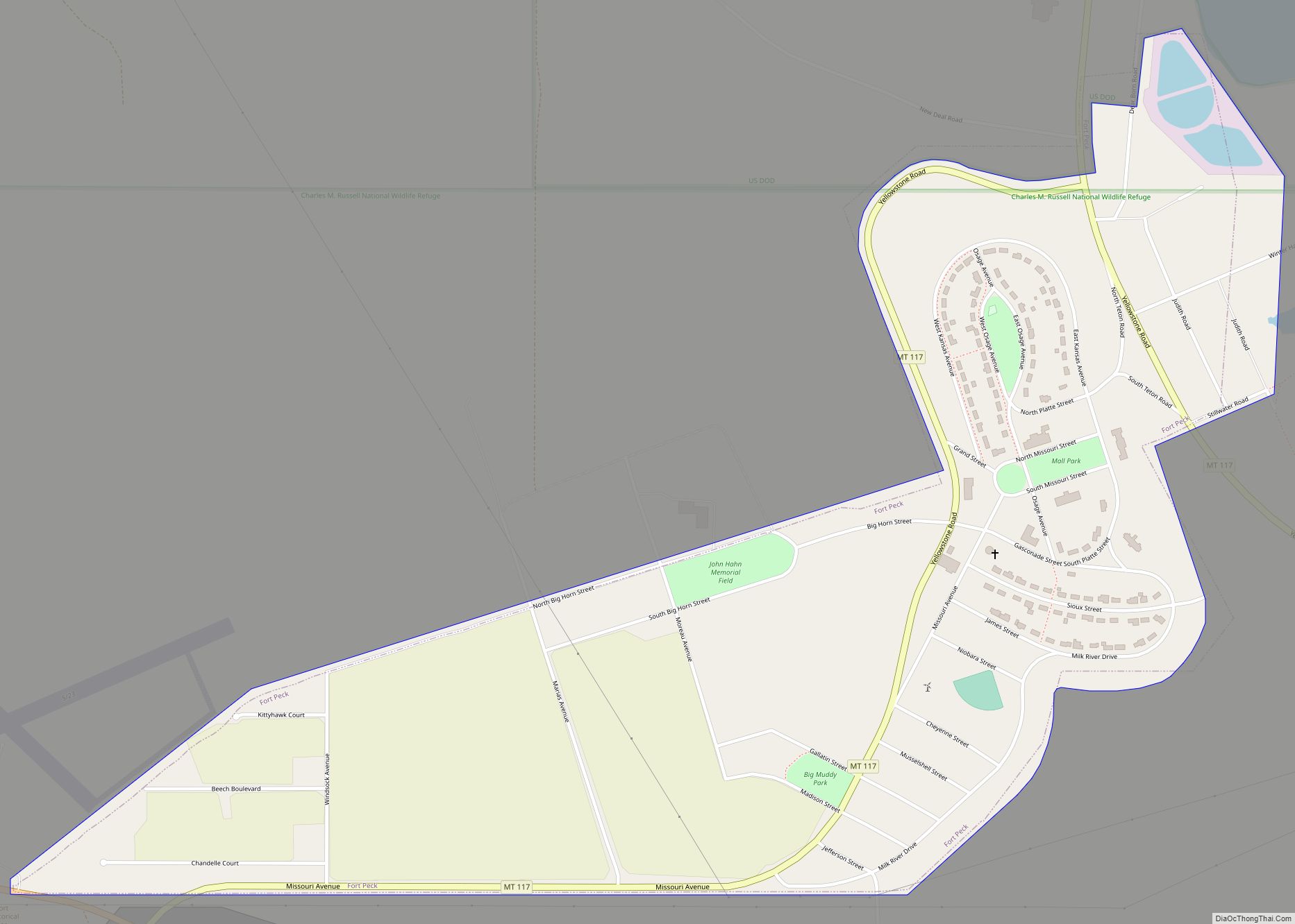
Fort Peck is a town in Valley County, Montana, United States. The population was 239 at the 2020 census. Fort Peck town overview: Name: Fort Peck town LSAD Code: 43 LSAD Description: town (suffix) State: Montana County: Valley County Total Area: 0.89 sq mi (2.31 km²) Land Area: 0.89 sq mi (2.31 km²) Water Area: 0.00 sq mi (0.00 km²) Total Population: 239 Population ... Read more
Fort Benton is a city in and the county seat of Chouteau County, Montana, United States. Established in 1846, Fort Benton is the oldest continuously occupied settlement in Montana. Fort Benton was the most upstream navigable port on the Mississippi River System, and is considered “the world’s innermost port”. The city’s waterfront area, the most ... Read more
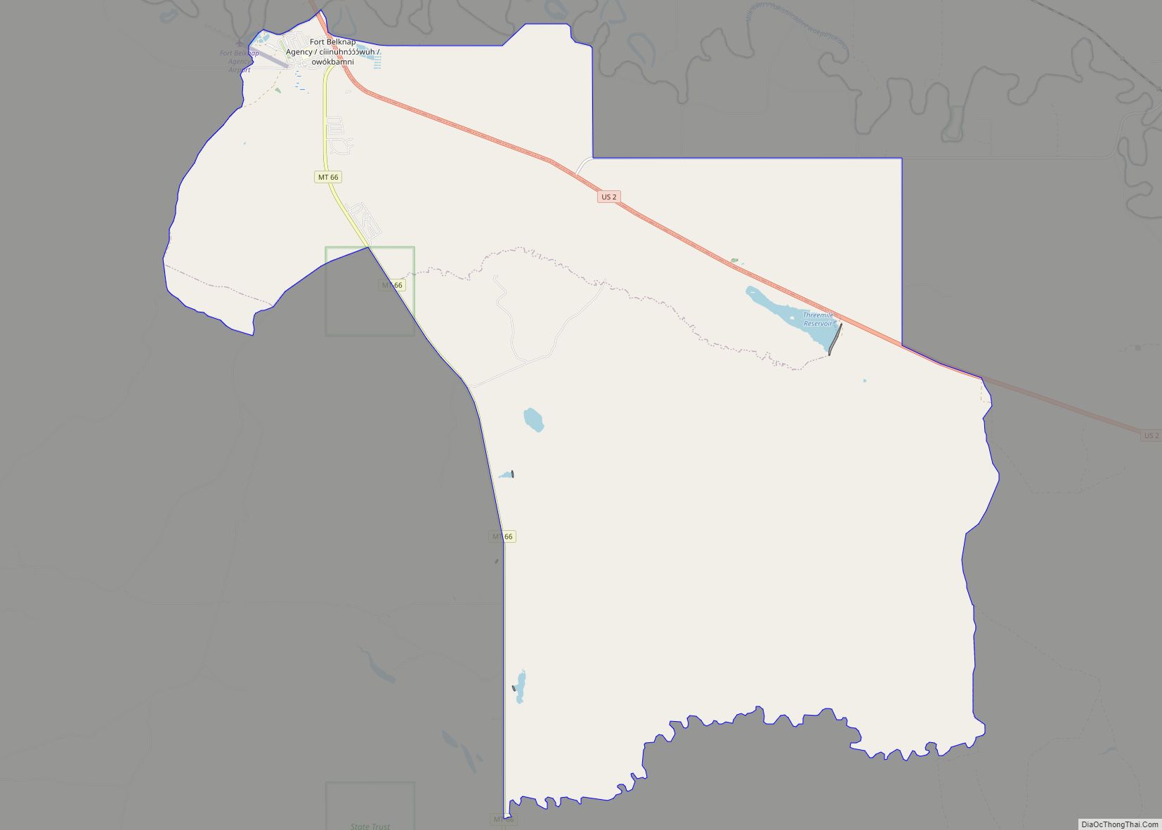
Fort Belknap Agency is a census-designated place (CDP) in Blaine County, Montana, United States. As of the 2010 census, its population was 1,293. Fort Belknap Agency CDP overview: Name: Fort Belknap Agency CDP LSAD Code: 57 LSAD Description: CDP (suffix) State: Montana County: Blaine County Elevation: 2,375 ft (724 m) Total Area: 45.76 sq mi (118.52 km²) Land Area: 45.50 sq mi ... Read more
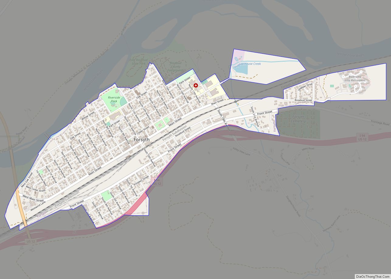
Forsyth is a city in and the county seat of Rosebud County, Montana, United States. The population was 1,647 at the 2020 census. Forsyth was established in 1876 as the first settlement on the Yellowstone River, and in 1882 residents named the town after General James William Forsyth who commanded Fort Maginnis, Montana during the ... Read more
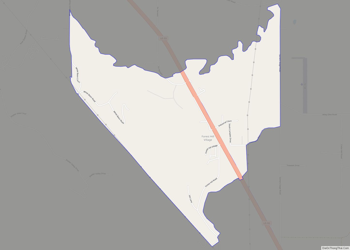
Forest Hill Village is a census-designated place (CDP) in Flathead County, Montana, United States. The population was 206 at the 2010 census. It is located on U.S. Route 93, 6 miles south of Kalispell. It is just north of Flathead Lake. Forest Hill Village CDP overview: Name: Forest Hill Village CDP LSAD Code: 57 LSAD ... Read more

