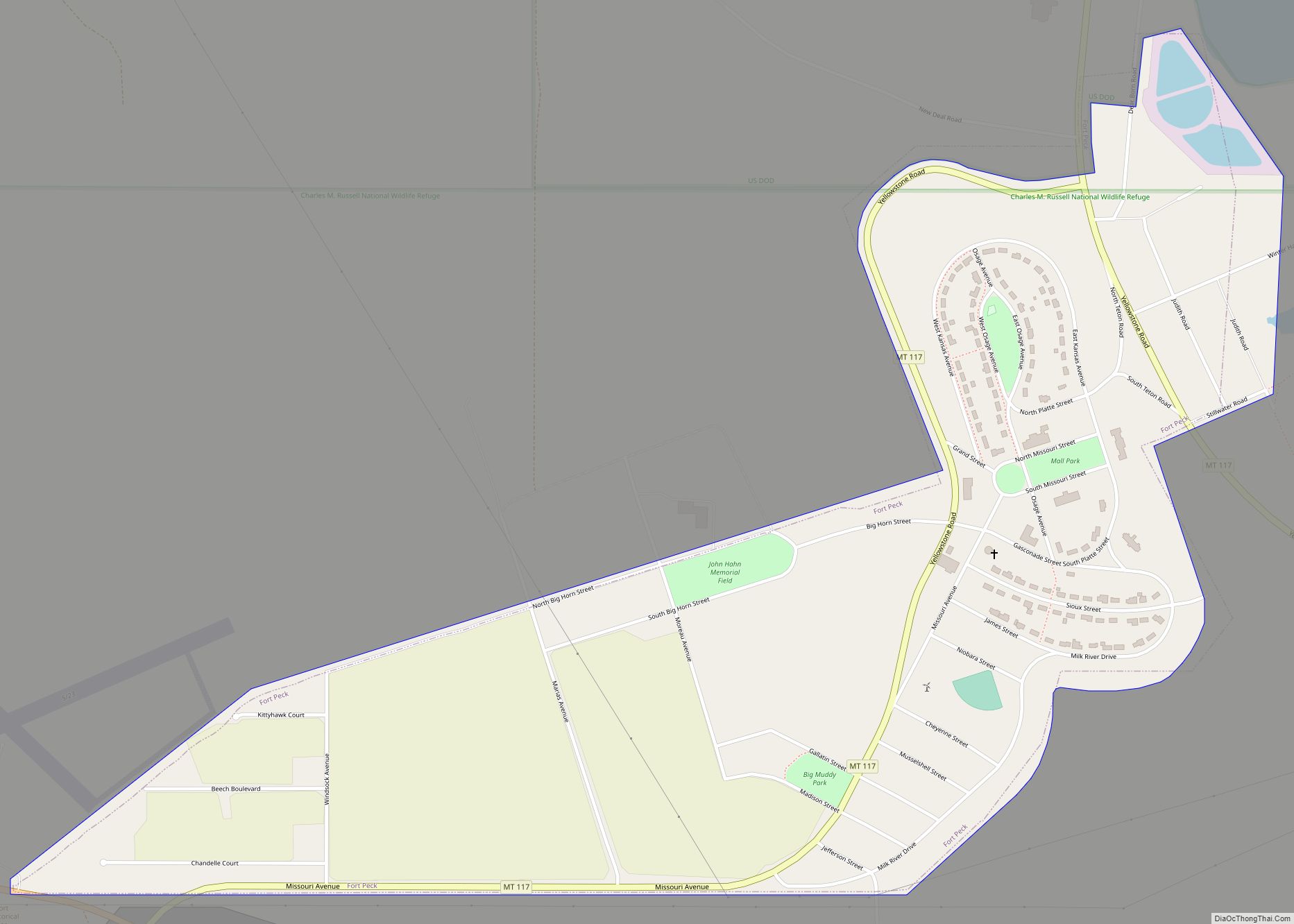
Fort Peck is a town in Valley County, Montana, United States. The population was 239 at the 2020 census.
| Name: | Fort Peck town |
|---|---|
| LSAD Code: | 43 |
| LSAD Description: | town (suffix) |
| State: | Montana |
| County: | Valley County |
| Total Area: | 0.89 sq mi (2.31 km²) |
| Land Area: | 0.89 sq mi (2.31 km²) |
| Water Area: | 0.00 sq mi (0.00 km²) |
| Total Population: | 239 |
| Population Density: | 267.64/sq mi (103.30/km²) |
| ZIP code: | 59255 |
| Area code: | 406 |
| FIPS code: | 3028450 |
Online Interactive Map
Click on ![]() to view map in "full screen" mode.
to view map in "full screen" mode.
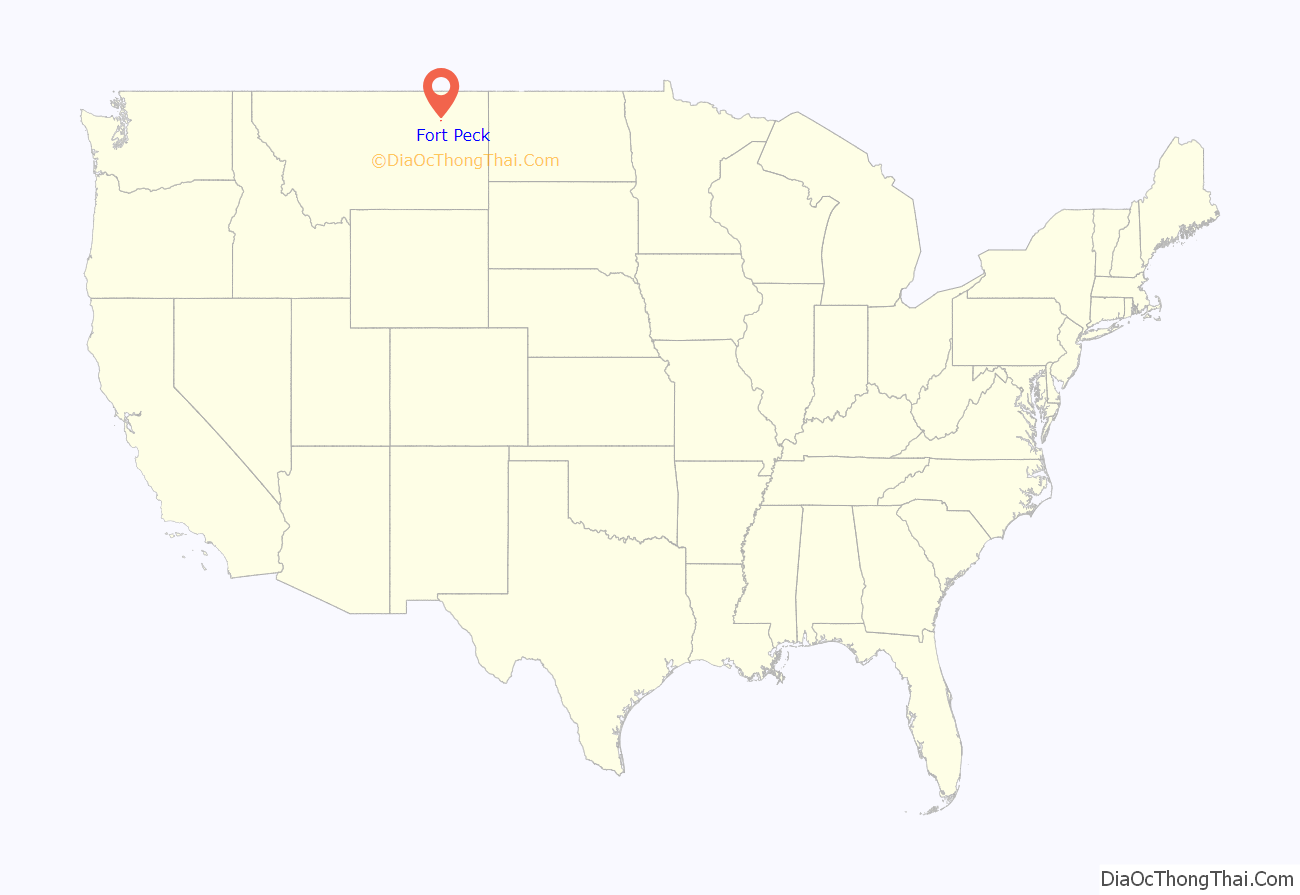
Fort Peck location map. Where is Fort Peck town?

History
The name Fort Peck is associated with Col. Campbell K. Peck, the partner of Elias H. Durfee in the Leavenworth, Kansas trading firm of Durfee and Peck. In 1867, company employee Abe Farwell constructed the Fort Peck trading post along the Missouri River, which enjoyed a virtual monopoly in trade with the Sioux and Assiniboine people. After its short life as a trading post, Fort Peck served as an Indian agency from 1873 until 1878. At that time, the agency was moved to its current location at Poplar. Fort Peck had a post office from 1879 to 1881.
A new town of Fort Peck, located approximately two miles north of the original, was built in 1934 to house Army Corps of Engineers employees involved in the construction of the Fort Peck Dam. Designed to be temporary, the government-owned town nevertheless included many features of a permanent town, including an administrative headquarters, a hospital, stores, a theater, a recreation hall, and other facilities. Totally inadequate to house the 10,000-plus employees, Fort Peck was soon joined by numerous shanty towns, including Wheeler, New Deal, Delano Heights, and Park Grove. The Fort Peck Original Houses Historic District, the Fort Peck Theatre, and the hospital, administration building, and other associated public works properties are listed in the National Register.
The Administration Building, the Employee’s Hotel and Garage, the Garage and Fire Station, the Hospital, and the Recreation Hall of the government-run town are listed on the National Register of Historic Places.
Fort Peck Road Map

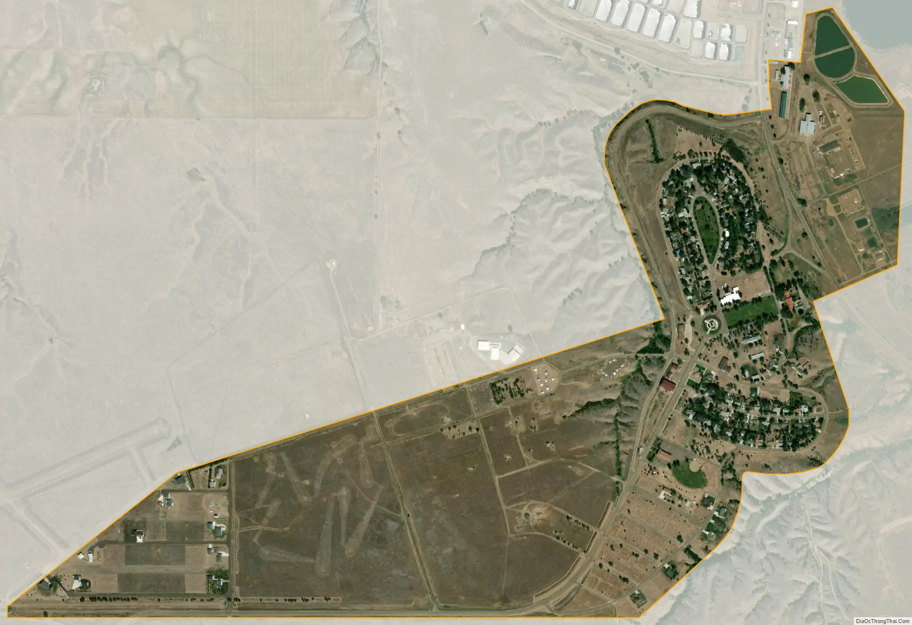
Fort Peck city Satellite Map
Geography
Fort Peck is located at 48°0′28″N 106°27′1″W / 48.00778°N 106.45028°W / 48.00778; -106.45028 (48.007858, -106.450327).
According to the United States Census Bureau, the town has a total area of 0.86 square miles (2.23 km), all land.
See also
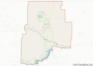
Map of Montana State and its subdivision:- Beaverhead
- Big Horn
- Blaine
- Broadwater
- Carbon
- Carter
- Cascade
- Chouteau
- Custer
- Daniels
- Dawson
- Deer Lodge
- Fallon
- Fergus
- Flathead
- Gallatin
- Garfield
- Glacier
- Golden Valley
- Granite
- Hill
- Jefferson
- Judith Basin
- Lake
- Lewis and Clark
- Liberty
- Lincoln
- Madison
- McCone
- Meagher
- Mineral
- Missoula
- Musselshell
- Park
- Petroleum
- Phillips
- Pondera
- Powder River
- Powell
- Prairie
- Ravalli
- Richland
- Roosevelt
- Rosebud
- Sanders
- Sheridan
- Silver Bow
- Stillwater
- Sweet Grass
- Teton
- Toole
- Treasure
- Valley
- Wheatland
- Wibaux
- Yellowstone
- Alabama
- Alaska
- Arizona
- Arkansas
- California
- Colorado
- Connecticut
- Delaware
- District of Columbia
- Florida
- Georgia
- Hawaii
- Idaho
- Illinois
- Indiana
- Iowa
- Kansas
- Kentucky
- Louisiana
- Maine
- Maryland
- Massachusetts
- Michigan
- Minnesota
- Mississippi
- Missouri
- Montana
- Nebraska
- Nevada
- New Hampshire
- New Jersey
- New Mexico
- New York
- North Carolina
- North Dakota
- Ohio
- Oklahoma
- Oregon
- Pennsylvania
- Rhode Island
- South Carolina
- South Dakota
- Tennessee
- Texas
- Utah
- Vermont
- Virginia
- Washington
- West Virginia
- Wisconsin
- Wyoming