Fort Benton is a city in and the county seat of Chouteau County, Montana, United States. Established in 1846, Fort Benton is the oldest continuously occupied settlement in Montana. Fort Benton was the most upstream navigable port on the Mississippi River System, and is considered “the world’s innermost port”.
The city’s waterfront area, the most important aspect of its 19th century growth, was designated the Fort Benton Historic District, a National Historic Landmark, in 1961.
The population was 1,449 at the 2020 census.
| Name: | Fort Benton city |
|---|---|
| LSAD Code: | 25 |
| LSAD Description: | city (suffix) |
| State: | Montana |
| County: | Chouteau County |
| Elevation: | 2,621 ft (799 m) |
| Total Area: | 2.29 sq mi (5.94 km²) |
| Land Area: | 2.29 sq mi (5.94 km²) |
| Water Area: | 0.00 sq mi (0.00 km²) |
| Total Population: | 1,449 |
| Population Density: | 631.92/sq mi (243.97/km²) |
| ZIP code: | 59442 |
| Area code: | 406 |
| FIPS code: | 3028000 |
| GNISfeature ID: | 1750122 |
| Website: | www.fortbenton.com |
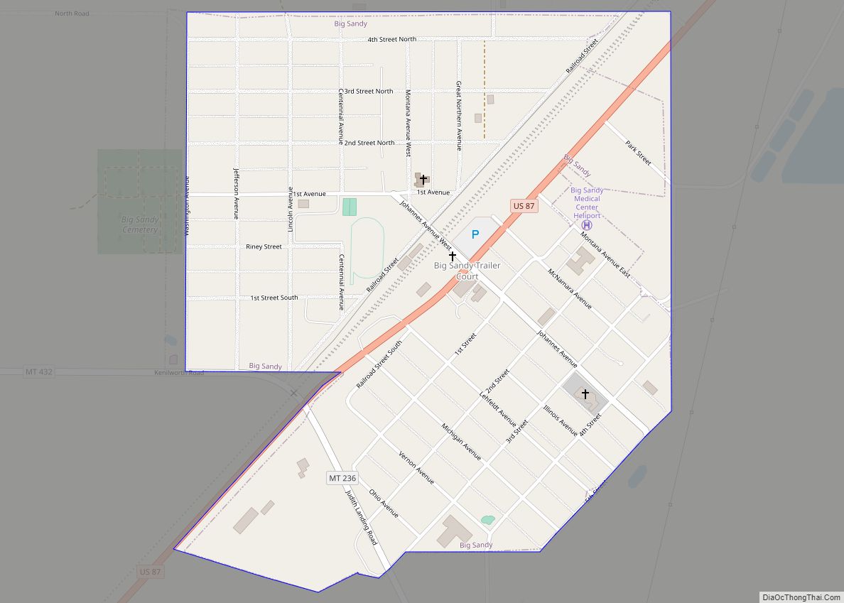
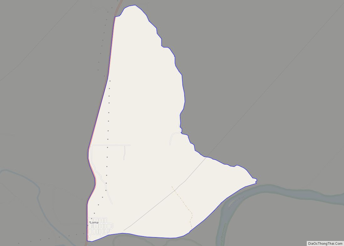
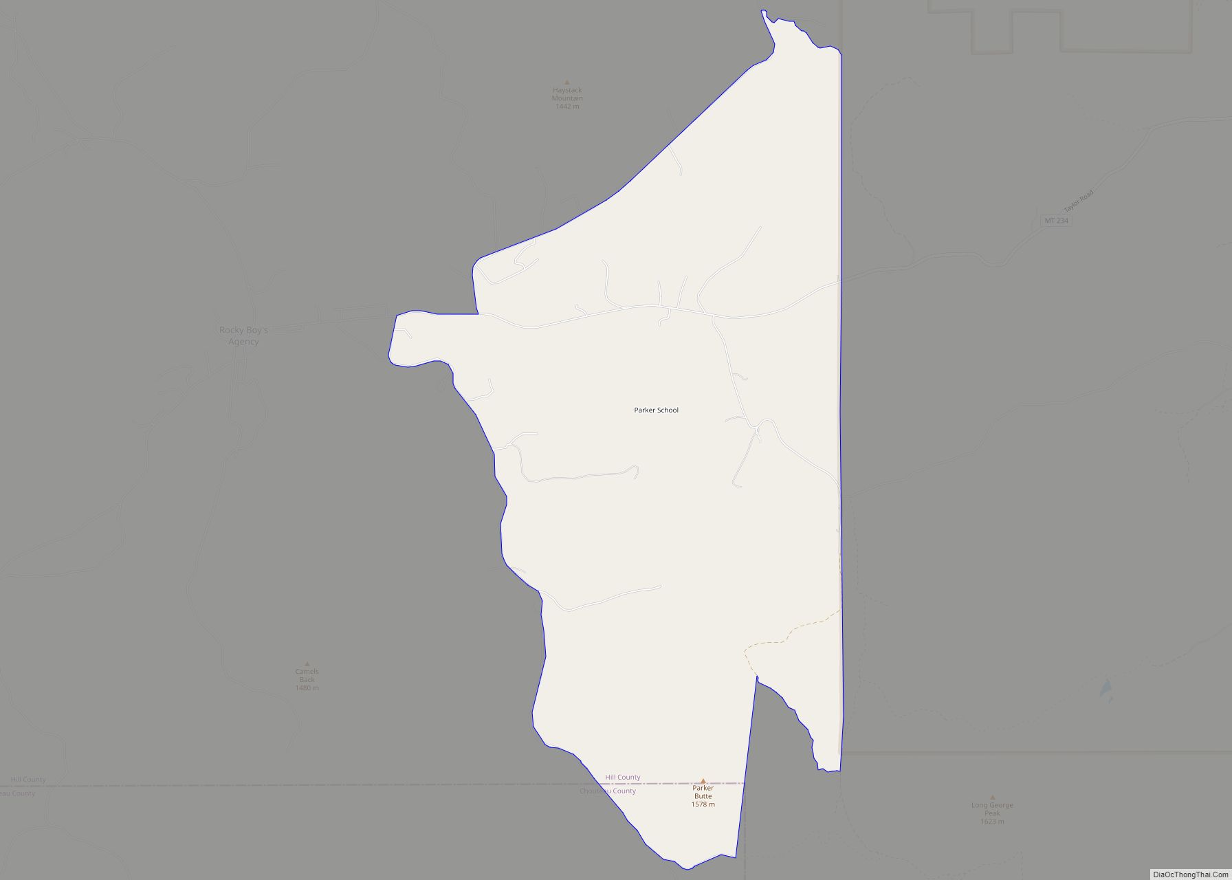
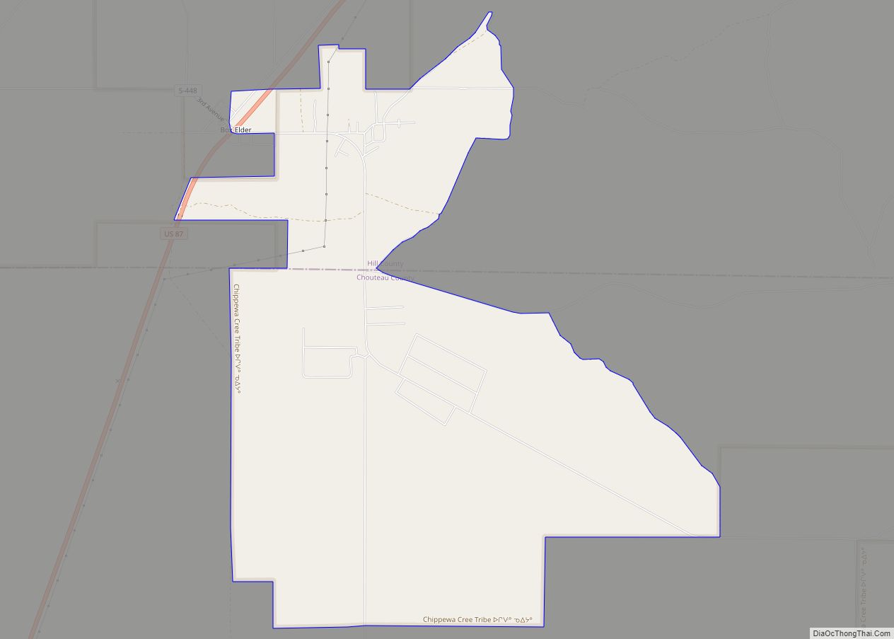
Online Interactive Map
Click on ![]() to view map in "full screen" mode.
to view map in "full screen" mode.
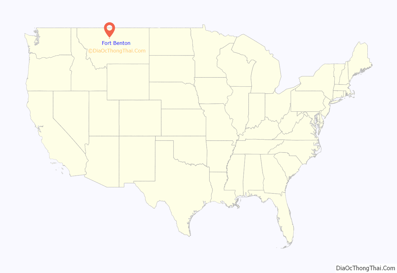
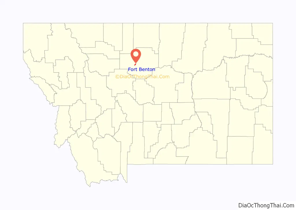
Fort Benton location map. Where is Fort Benton city?
History
Established in 1846 as Fort Lewis and relocated 15 miles downstream in 1847 by Alexander Culbertson, who worked for Auguste Chouteau and Pierre Chouteau, Jr. of St. Louis, the original fort was the last fur trading post on the Upper Missouri River, which soon made it an important economic center. For 30 years, the port attracted steamboats carrying goods, merchants, gold miners and settlers, coming from New Orleans, Memphis, St. Louis, Hannibal, Bismarck, and Kansas City, among other places. As the eastern terminus for the 642-mile-long Mullan Road, completed by the United States Army in 1860, and at the head of navigation of the Missouri River, Fort Benton was part of the overland link between the Missouri and the Columbia River, with its own head of navigation at Fort Walla Walla in Washington. Twenty thousand migrants used the road to travel to the Northwest in its first year. It became an important route for miners from both directions going into the interior of Idaho and north to Canada. Steamboat travel to Fort Benton from St. Louis, Missouri, helped broadly fuel the development of the American West between 1860 and 1890, when it was supplanted by railroad transport. The river was an important route for miners to the newly discovered gold fields of southern Montana at what became Bannack and Virginia City beginning in 1862, and Helena beginning in 1865.
With the decline of the fur trade, the American Fur Company sold the fort to the Northwest Fur Company in 1865, and the fort became a U.S. Army post from 1868 until the army units departed in 1881. Founder Alexander Culbertson formally named it Fort Benton on Christmas Day 1850, in honor of Senator Thomas Hart Benton of Missouri. Beginning in the early 1860s, with the arrival of the first steamboats, a town began to grow up around the fort. Besides being one of the most important ports on the Missouri-Mississippi river system, Fort Benton was once the “World’s Innermost Port” – the furthest point of navigable water on the Missouri River. It was served by numerous well-known “mountain boats” (designed specifically for the Missouri River), including the Yellowstone and the Far West, and their famed captains, Joseph LaBarge and Grant Marsh, respectively.
Fort Benton’s importance in trade was superseded by the construction of transcontinental railroads in the late 19th century. In 1867, Fort Benton was the site where Union General Thomas Francis Meagher, then acting governor of Montana Territory, fell overboard from his steamboat and drowned in the river; his body was never recovered.
Conflict with Natives
In 1869, Mountain Chief, then Chief of the Pikuni Blackfeet Indians, travelled to the town of Fort Benton to request the agent of his reservation to remove illegal whiskey traders from Blackfeet land. The chief was physically assaulted by a gang of white residents. In the same year, Mountain Chief’s brother and a teenage boy were assassinated in Fort Benton, supposedly in retaliation for the death of a white cattle rancher near to the town. In both cases, officials neglected to file criminal charges on behalf of these three Blackfeet Indians. In 1870, a group of 10 Blackfeet Indians would be killed by Fort Benton soldiers and vigilantes for the alleged crime of cattle raiding.
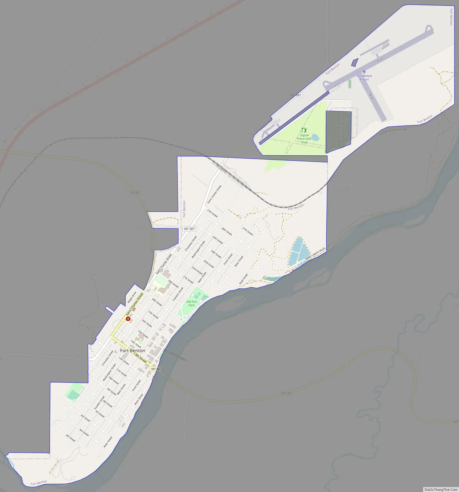
Fort Benton Road Map
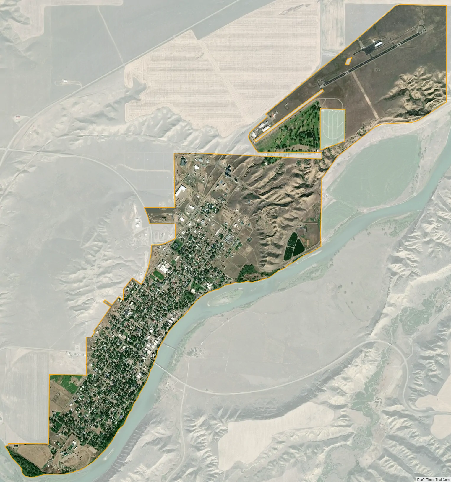
Fort Benton city Satellite Map
Geography
Fort Benton is located at 47°49′10″N 110°40′11″W / 47.81944°N 110.66972°W / 47.81944; -110.66972 (47.819307, -110.669726). It is located off U.S. Route 87
According to the United States Census Bureau, the city has a total area of 2.07 square miles (5.36 km), all land.
The community sits in a narrow river valley on the west bank of the Missouri River and is in a geographic area known as the Golden Triangle (one of several dozen folk regions of Montana) due to the strength of the wheat industry of the region. For example, in 2007, Chouteau County was one of two counties in the United States with the highest wheat production. The long summer days (due to being at almost 48 degrees N latitude) and fertile soil of the area (due in part to ash deposits from the Elkhorn Volcanics to the south) leads to exceptionally “hard” wheat (high protein content) thriving in the area.
Fort Benton experiences a semi-arid climate (Köppen BSk) with cold, dry winters and hot, wetter summers. On July 5, 1988, the Fort Benton area was struck by an F3 tornado that injured two people.
See also
Map of Montana State and its subdivision:- Beaverhead
- Big Horn
- Blaine
- Broadwater
- Carbon
- Carter
- Cascade
- Chouteau
- Custer
- Daniels
- Dawson
- Deer Lodge
- Fallon
- Fergus
- Flathead
- Gallatin
- Garfield
- Glacier
- Golden Valley
- Granite
- Hill
- Jefferson
- Judith Basin
- Lake
- Lewis and Clark
- Liberty
- Lincoln
- Madison
- McCone
- Meagher
- Mineral
- Missoula
- Musselshell
- Park
- Petroleum
- Phillips
- Pondera
- Powder River
- Powell
- Prairie
- Ravalli
- Richland
- Roosevelt
- Rosebud
- Sanders
- Sheridan
- Silver Bow
- Stillwater
- Sweet Grass
- Teton
- Toole
- Treasure
- Valley
- Wheatland
- Wibaux
- Yellowstone
- Alabama
- Alaska
- Arizona
- Arkansas
- California
- Colorado
- Connecticut
- Delaware
- District of Columbia
- Florida
- Georgia
- Hawaii
- Idaho
- Illinois
- Indiana
- Iowa
- Kansas
- Kentucky
- Louisiana
- Maine
- Maryland
- Massachusetts
- Michigan
- Minnesota
- Mississippi
- Missouri
- Montana
- Nebraska
- Nevada
- New Hampshire
- New Jersey
- New Mexico
- New York
- North Carolina
- North Dakota
- Ohio
- Oklahoma
- Oregon
- Pennsylvania
- Rhode Island
- South Carolina
- South Dakota
- Tennessee
- Texas
- Utah
- Vermont
- Virginia
- Washington
- West Virginia
- Wisconsin
- Wyoming