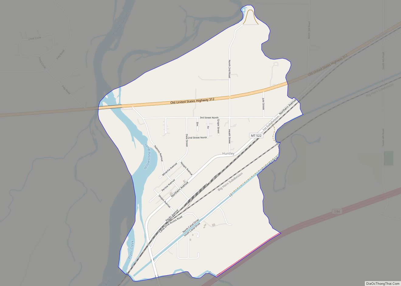
Huntley is a census-designated place (CDP) in Yellowstone County, Montana, United States. The population was 411 at the 2000 census. Huntley lent its name to the Huntley Project, a federal irrigation project that began delivering water to the arid district in 1907. Today, Huntley is an eastern suburb of Billings and is located east of ... Read more
Montana Cities and Places
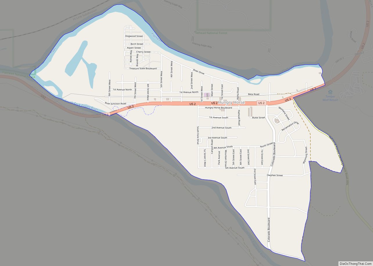
Hungry Horse is an unincorporated community and census-designated place (CDP) in Flathead County, Montana, United States. The population was 828 at the 2020 census. The ZIP code for Hungry Horse is 59919. Hungry Horse CDP overview: Name: Hungry Horse CDP LSAD Code: 57 LSAD Description: CDP (suffix) State: Montana County: Flathead County Elevation: 3,097 ft (944 m) ... Read more
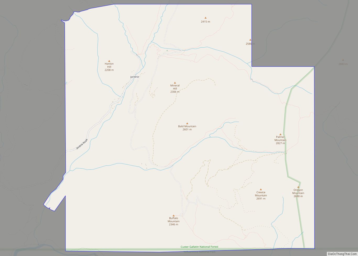
Jardine is an unincorporated village in Park County, Montana, United States. The town lies just to the north of Gardiner on inactive travertine terraces, much like those at Mammoth Hot Springs in nearby Yellowstone National Park. The town’s chief industry was a gold mine. The community has the name of A. C. Jardine, a businessperson ... Read more
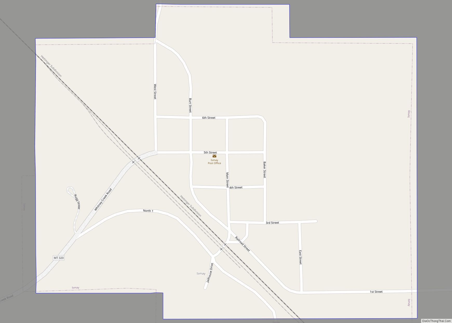
Ismay is a town in Custer County, Montana, United States. The population was 17 at the 2020 census. The town is the least-populous incorporated municipality in the state of Montana. The town’s name is an amalgamation of Isabella and May, the names of the daughters of Albert J Earling, division superintendent (later president) of the ... Read more
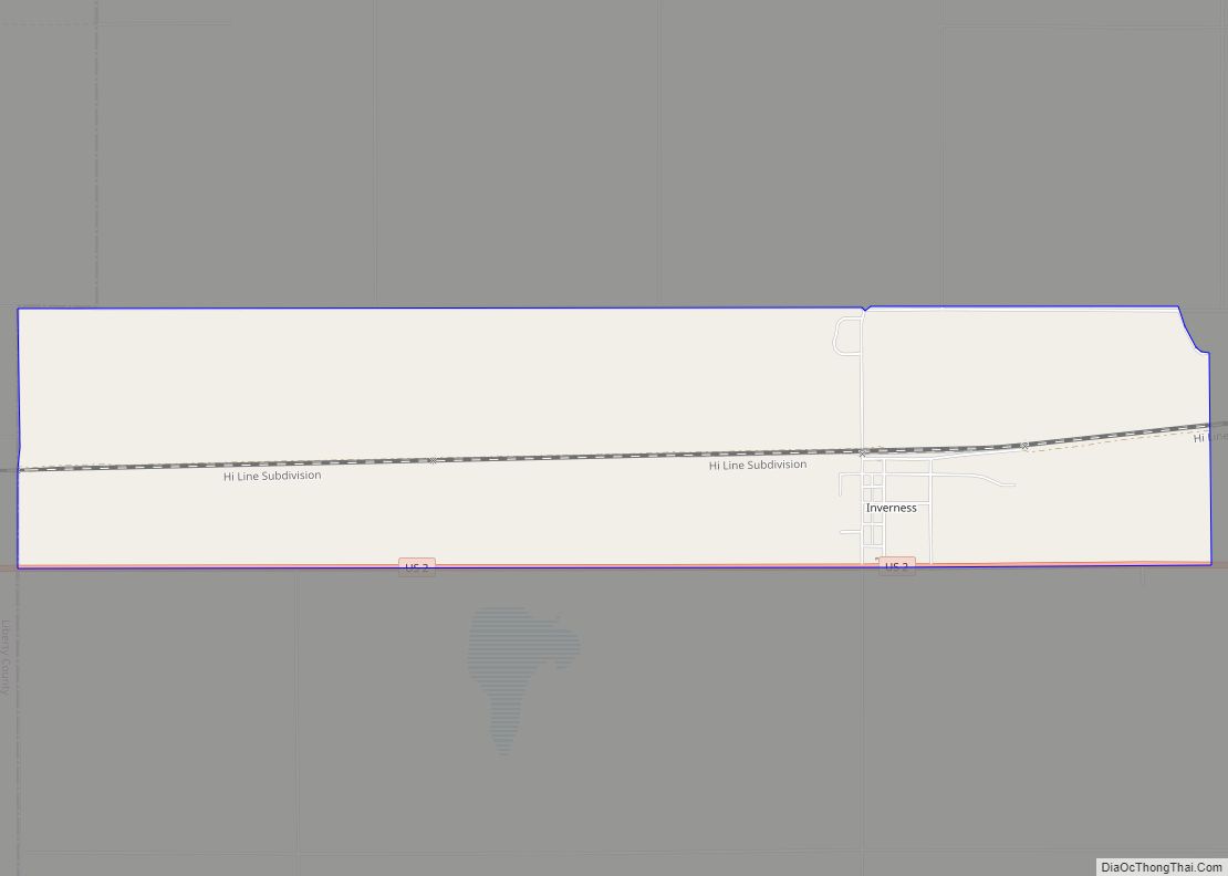
Inverness is a census-designated place (CDP) in Hill County, Montana, United States. The population was 55 at the 2010 census. It was named after a town in Scotland. Inverness CDP overview: Name: Inverness CDP LSAD Code: 57 LSAD Description: CDP (suffix) State: Montana County: Hill County Elevation: 3,297 ft (1,005 m) Total Area: 3.90 sq mi (10.10 km²) Land Area: ... Read more
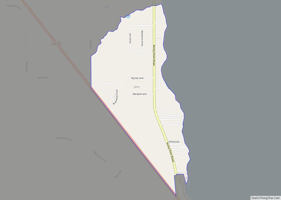
Jette is a census-designated place (CDP) in Lake County, Montana, United States. The population was 253 at the 2010 census. Jette CDP overview: Name: Jette CDP LSAD Code: 57 LSAD Description: CDP (suffix) State: Montana County: Lake County Elevation: 2,936 ft (895 m) Total Area: 0.62 sq mi (1.60 km²) Land Area: 0.62 sq mi (1.60 km²) Water Area: 0.00 sq mi (0.00 km²) Total Population: ... Read more
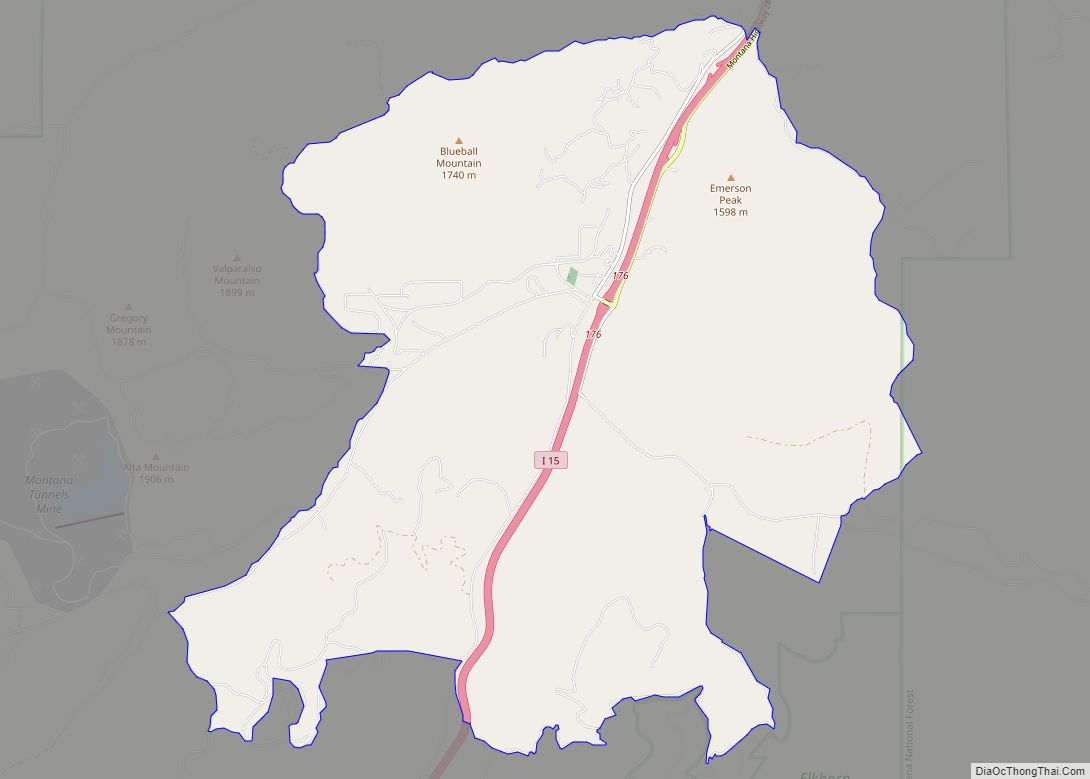
Jefferson City is an unincorporated community and census-designated place (CDP) in Jefferson County, Montana, United States. The population was 472 at the 2010 census. It is part of the Helena Micropolitan Statistical Area. The community began as a stop along the Fort Benton and Virginia City stage line. It took its name when Jefferson County ... Read more
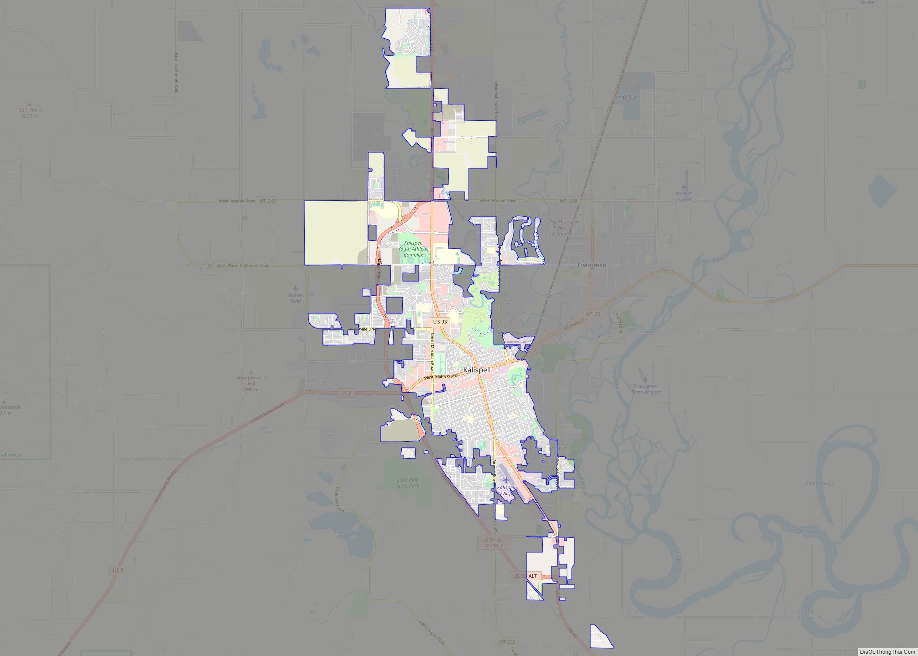
Kalispell (/ˈkæləˌspɛl, ˌkæləˈspɛl/, Montana Salish: Ql̓ispé, Kutenai language: kqayaqawakⱡuʔnam) is a city in and the county seat of Flathead County, Montana, United States. The 2020 census put Kalispell’s population at 24,558. In Montana’s northwest region, it is the largest city and the commercial center of the Kalispell Micropolitan Statistical Area. The name Kalispell is a ... Read more
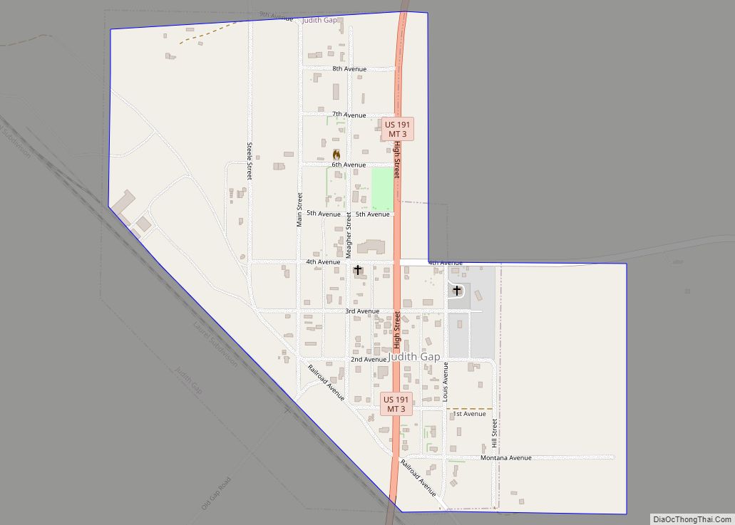
Judith Gap is a city in Wheatland County, Montana, United States. The population was 110 at the 2020 census. Judith Gap city overview: Name: Judith Gap city LSAD Code: 25 LSAD Description: city (suffix) State: Montana County: Wheatland County Elevation: 4,639 ft (1,414 m) Total Area: 0.33 sq mi (0.86 km²) Land Area: 0.33 sq mi (0.86 km²) Water Area: 0.00 sq mi (0.00 km²) Total ... Read more
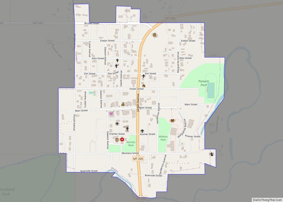
Jordan is a town in and the county seat of Garfield County, Montana, United States. The population was 356 at the 2020 census. It is Garfield County’s only incorporated community. Jordan town overview: Name: Jordan town LSAD Code: 43 LSAD Description: town (suffix) State: Montana County: Garfield County Elevation: 2,602 ft (793 m) Total Area: 0.35 sq mi (0.90 km²) ... Read more
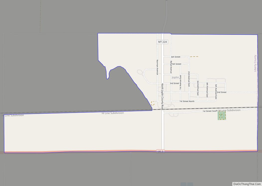
Joplin is a unincorporated community and census-designated place (CDP) in Liberty County, Montana, United States. The population was 157 at the 2010 census. Joplin CDP overview: Name: Joplin CDP LSAD Code: 57 LSAD Description: CDP (suffix) State: Montana County: Liberty County Elevation: 3,323 ft (1,013 m) Total Area: 1.29 sq mi (3.34 km²) Land Area: 1.26 sq mi (3.27 km²) Water Area: 0.03 sq mi ... Read more
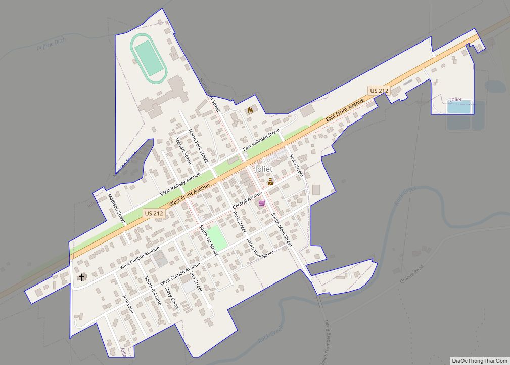
Joliet is a town in Carbon County, Montana, United States. It is part of the Billings, Montana Metropolitan Statistical Area. The population was 577 at the 2020 census. Joliet town overview: Name: Joliet town LSAD Code: 43 LSAD Description: town (suffix) State: Montana County: Carbon County Elevation: 3,737 ft (1,139 m) Total Area: 0.27 sq mi (0.71 km²) Land Area: ... Read more
