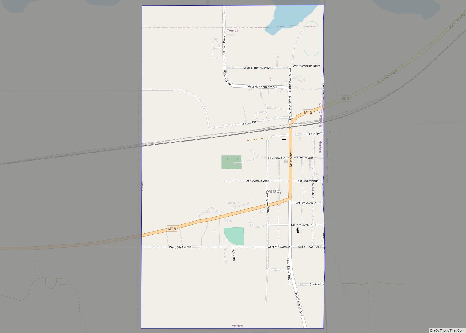
Westby is a town in Sheridan County, Montana, United States. The population was 167 at the 2020 census. Westby town overview: Name: Westby town LSAD Code: 43 LSAD Description: town (suffix) State: Montana County: Sheridan County Elevation: 2,103 ft (641 m) Total Area: 0.57 sq mi (1.48 km²) Land Area: 0.56 sq mi (1.46 km²) Water Area: 0.01 sq mi (0.02 km²) Total Population: 167 Population ... Read more
Montana Cities and Places
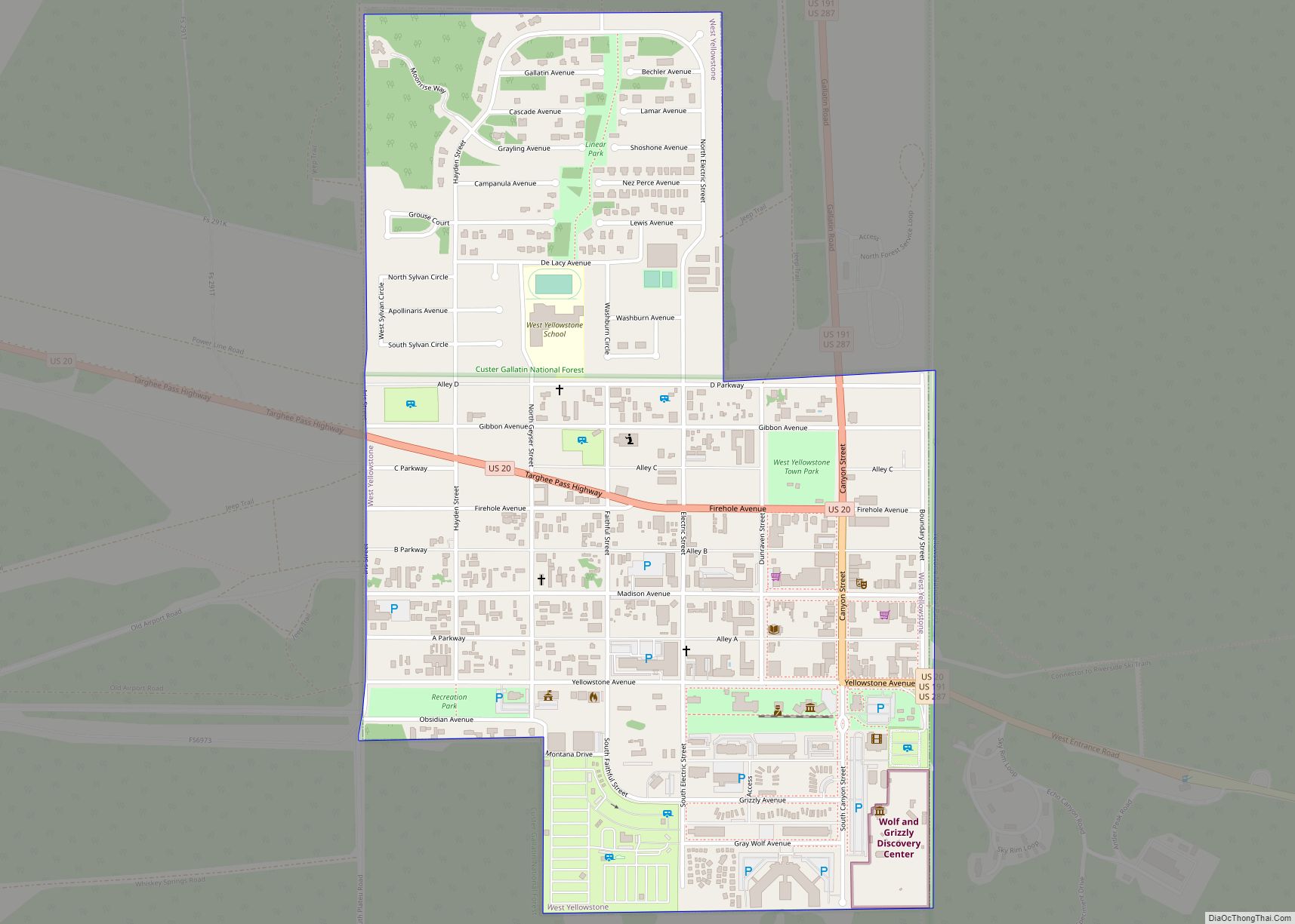
West Yellowstone is a town in Gallatin County, Montana, United States, adjacent to Yellowstone National Park. The population was 1,272 at the 2020 census. West Yellowstone is served by Yellowstone Airport. It is part of the Bozeman, MT Micropolitan Statistical Area. West Yellowstone offers lodging, gift shops, and other services to travelers visiting nearby Yellowstone ... Read more
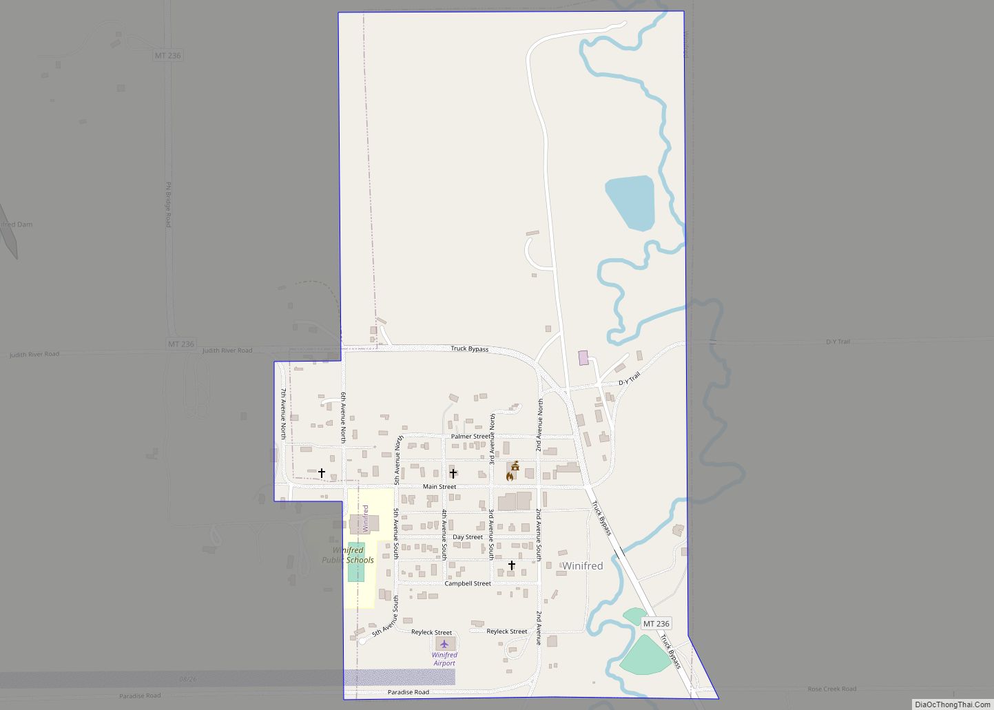
Winifred is a small town in rural north-central Fergus County, Montana, United States, founded in 1913 and providing services for its region’s populace. The town population was 172 at the 2020 census. Winifred town overview: Name: Winifred town LSAD Code: 43 LSAD Description: town (suffix) State: Montana County: Fergus County Elevation: 3,235 ft (986 m) Total Area: ... Read more
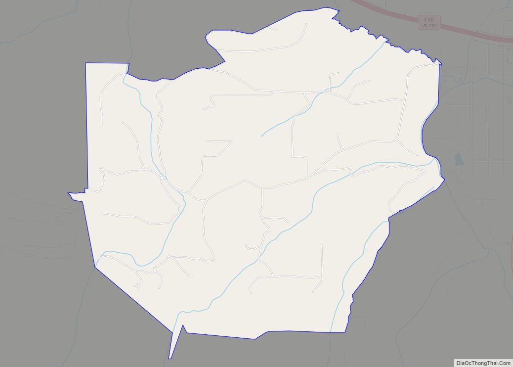
Wineglass is a census-designated place in Park County, Montana, United States. Its population was 256 as of the 2010 census. Wineglass CDP overview: Name: Wineglass CDP LSAD Code: 57 LSAD Description: CDP (suffix) State: Montana County: Park County Elevation: 5,111 ft (1,558 m) Total Area: 6.27 sq mi (16.24 km²) Land Area: 6.27 sq mi (16.24 km²) Water Area: 0.00 sq mi (0.00 km²) Total Population: ... Read more
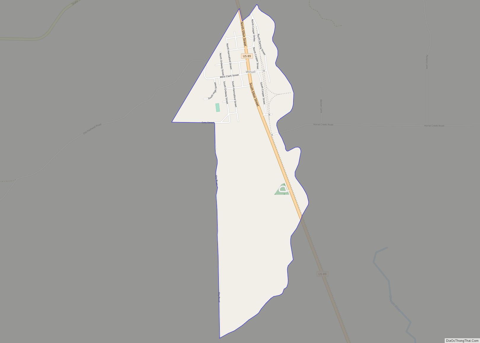
Wilsall is a census-designated place (CDP) in Park County, Montana, United States. The population was 237 at the 2000 census. Wilsall CDP overview: Name: Wilsall CDP LSAD Code: 57 LSAD Description: CDP (suffix) State: Montana County: Park County Elevation: 5,059 ft (1,542 m) Total Area: 1.12 sq mi (2.90 km²) Land Area: 1.12 sq mi (2.90 km²) Water Area: 0.00 sq mi (0.00 km²) Total Population: ... Read more
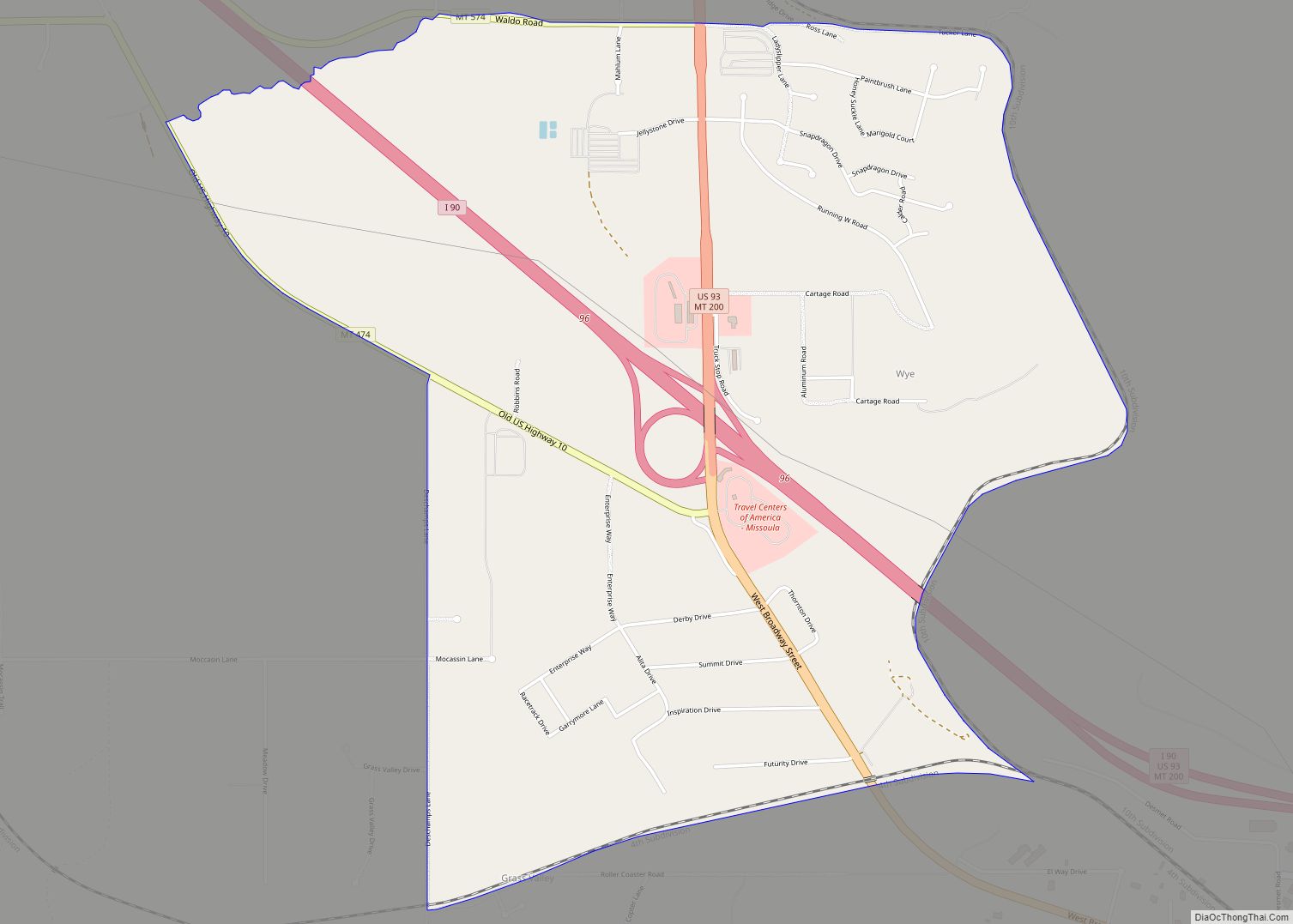
Wye is a unincorporated community in Missoula County, Montana, United States. It is part of the Missoula, Montana Metropolitan Statistical Area. The population was 511 at the 2010 census, an increase from its population of 381 in 2000. For statistical purposes, the United States Census Bureau has defined Saticoy as a census-designated place (CDP). Wye ... Read more
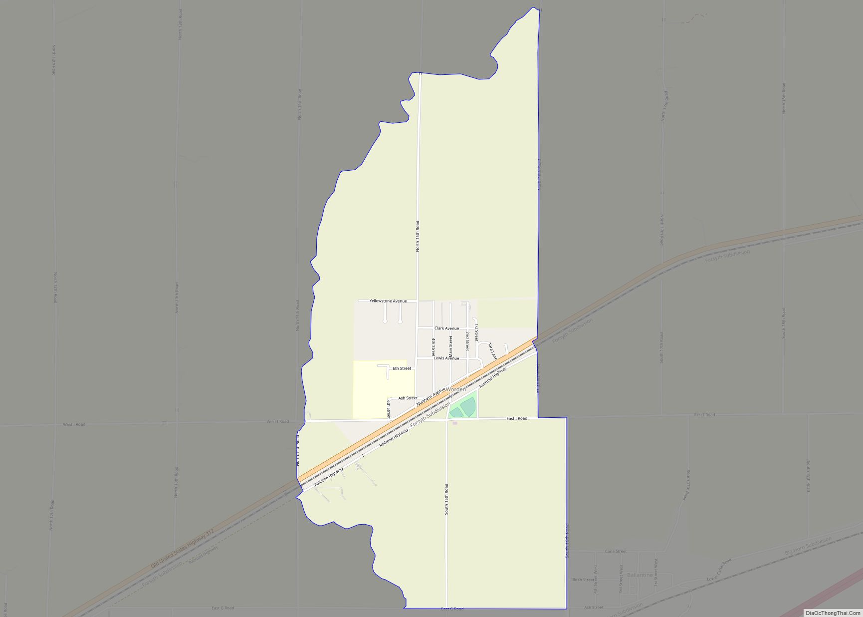
Worden is a census-designated place (CDP) in Yellowstone County, Montana, United States. The population was 506 at the 2000 census. Worden, along with Ballantine, Huntley, and Pompey’s Pillar, is part of the Huntley Project, an irrigation district established by the United States Bureau of Reclamation in 1907. Worden is home to a number of restaurants, ... Read more
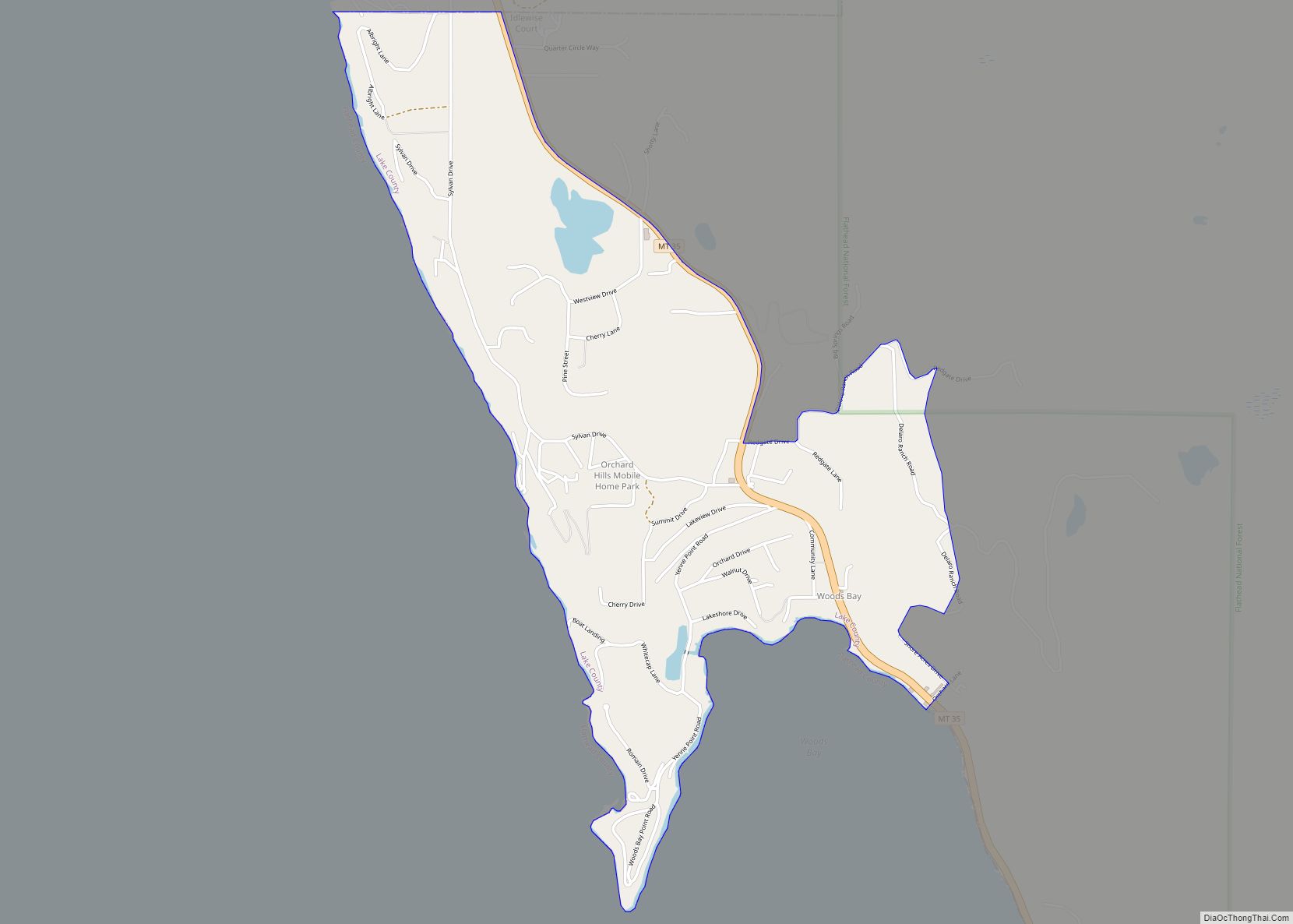
Woods Bay is a census-designated place (CDP) in Lake County, Montana, United States. The population was 661 at the 2010 census, down from 748 at the 2000 census. Woods Bay CDP overview: Name: Woods Bay CDP LSAD Code: 57 LSAD Description: CDP (suffix) State: Montana County: Lake County Elevation: 2,910 ft (890 m) Total Area: 1.38 sq mi (3.56 km²) ... Read more
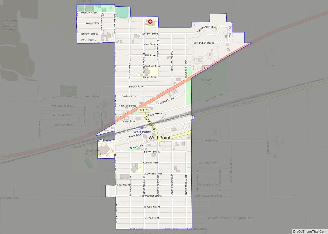
Wolf Point (Assiniboine: šųktógeja oʾípa) is an incorporated ranchingtown in, and the county seat of, Roosevelt County, Montana, United States. The population was 2,517 at the 2020 census, down 4% from 2,621 in the 2010 Census. It is the largest community on the Fort Peck Indian Reservation. Wolf Point is the home of the annual ... Read more
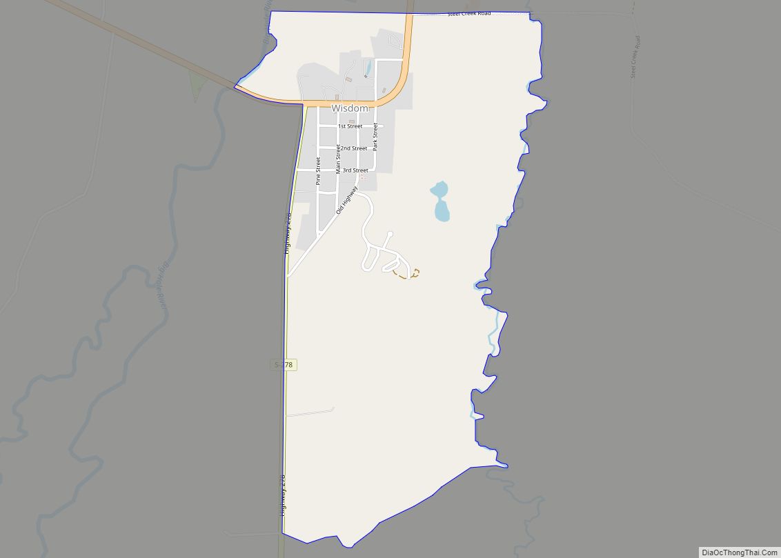
Wisdom is a small town in Beaverhead County, Montana, United States. The population was 98 at the 2010 census. The ZIP Code of the area is 59761. The town includes three tourist lodgings, service station, grocery, school (K-8), post office and a Forest Service office. Wisdom CDP overview: Name: Wisdom CDP LSAD Code: 57 LSAD ... Read more
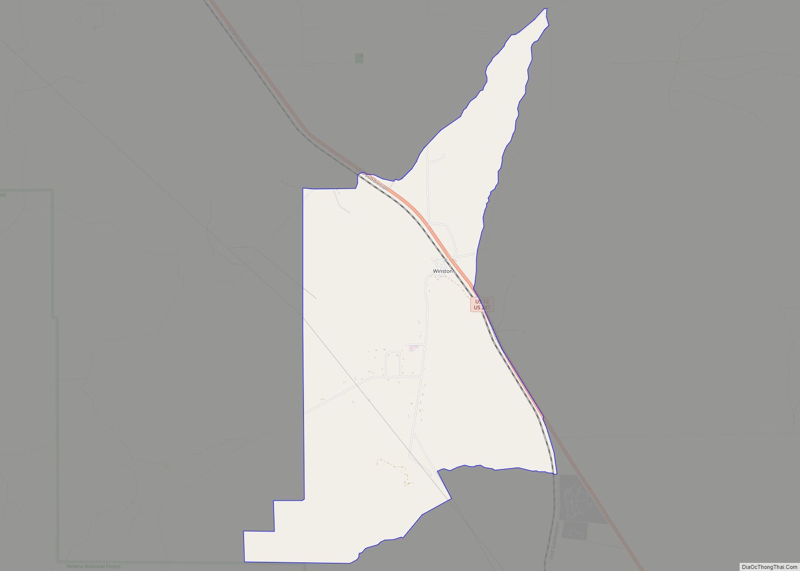
Winston is a census-designated place (CDP) in Broadwater County, Montana, United States. The population was 147 at the 2010 census. The post office opened in 1892. Winston CDP overview: Name: Winston CDP LSAD Code: 57 LSAD Description: CDP (suffix) State: Montana County: Broadwater County Elevation: 4,360 ft (1,330 m) Total Area: 5.22 sq mi (13.52 km²) Land Area: 5.22 sq mi (13.52 km²) ... Read more
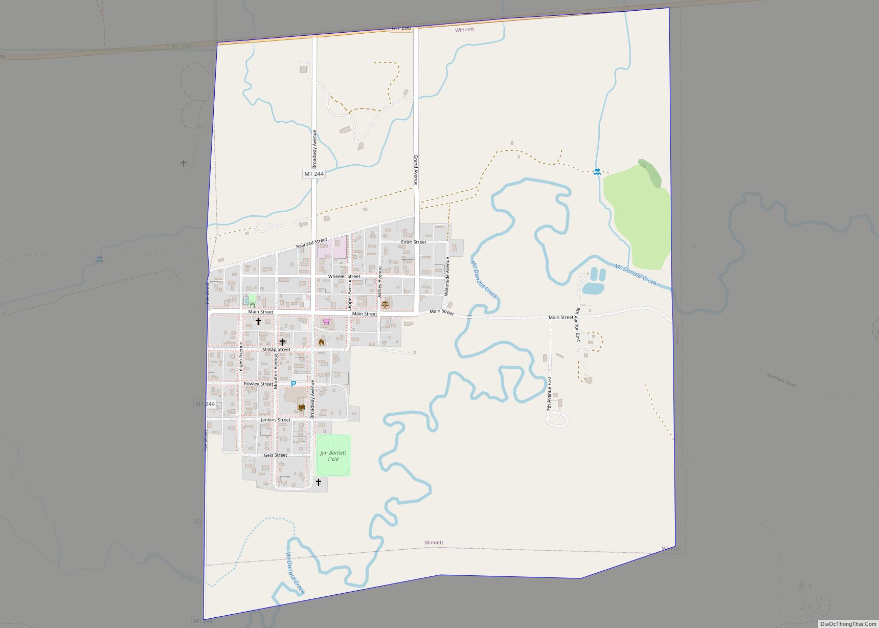
Winnett is a town in and the county seat of Petroleum County, Montana, United States. The population was 188 at the 2020 census. Winnett town overview: Name: Winnett town LSAD Code: 43 LSAD Description: town (suffix) State: Montana County: Petroleum County Elevation: 2,953 ft (900 m) Total Area: 1.02 sq mi (2.64 km²) Land Area: 1.02 sq mi (2.64 km²) Water Area: 0.00 sq mi ... Read more
