Wolf Point (Assiniboine: šųktógeja oʾípa) is an incorporated ranchingtown in, and the county seat of, Roosevelt County, Montana, United States. The population was 2,517 at the 2020 census, down 4% from 2,621 in the 2010 Census. It is the largest community on the Fort Peck Indian Reservation. Wolf Point is the home of the annual Wild Horse Stampede, held every year during the second weekend of July. Wolf Point’s Wild Horse Stampede is the oldest rodeo in Montana, and has been called the “Grandaddy of Montana Rodeos”.
Wolf Point also is home of the Wadopana Pow-wow, the oldest traditional pow wow in Montana and always held the first week in August.
| Name: | Wolf Point city |
|---|---|
| LSAD Code: | 25 |
| LSAD Description: | city (suffix) |
| State: | Montana |
| County: | Roosevelt County |
| Elevation: | 2,000 ft (609 m) |
| Total Area: | 0.88 sq mi (2.29 km²) |
| Land Area: | 0.88 sq mi (2.29 km²) |
| Water Area: | 0.00 sq mi (0.00 km²) |
| Total Population: | 2,517 |
| Population Density: | 2,850.51/sq mi (1,100.95/km²) |
| ZIP code: | 59201 |
| Area code: | 406 |
| FIPS code: | 3081475 |
| GNISfeature ID: | 0778652 |
| Website: | http://ci.wolf-point.mt.us/ |
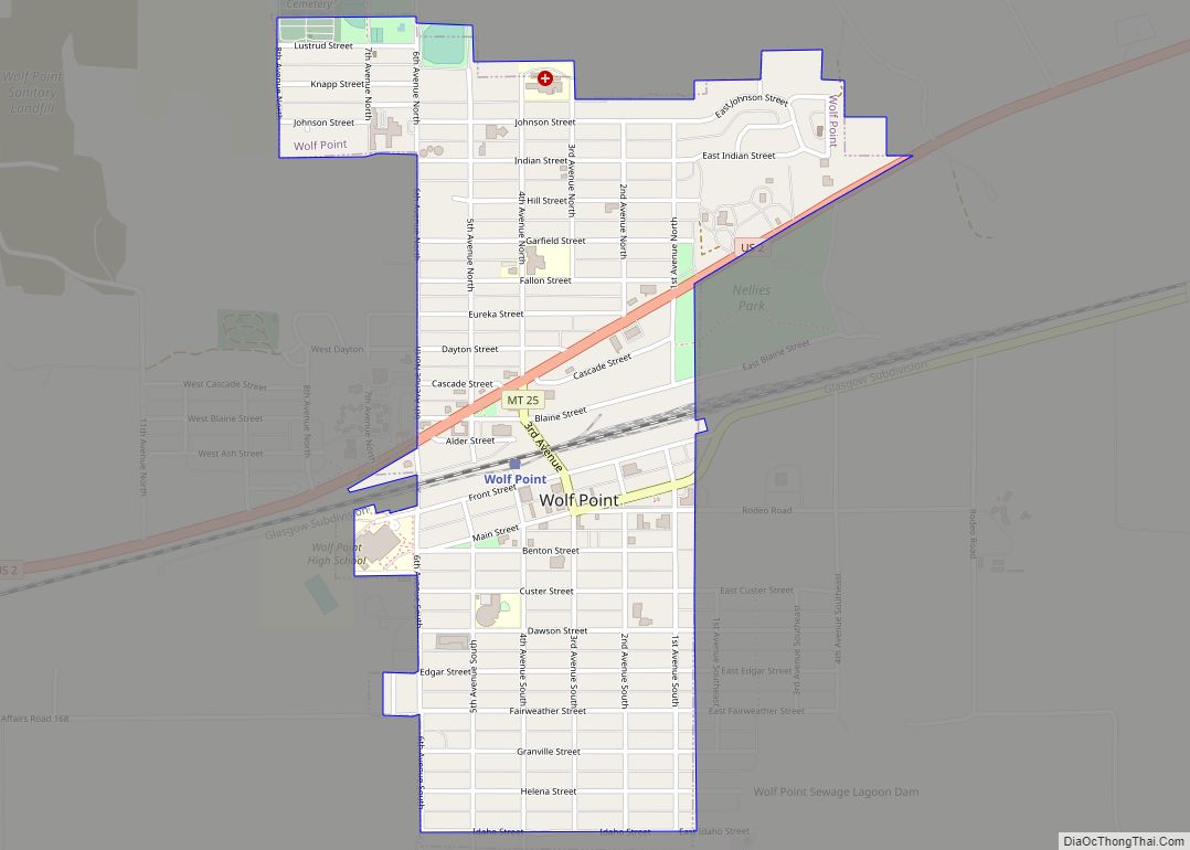
Online Interactive Map
Click on ![]() to view map in "full screen" mode.
to view map in "full screen" mode.
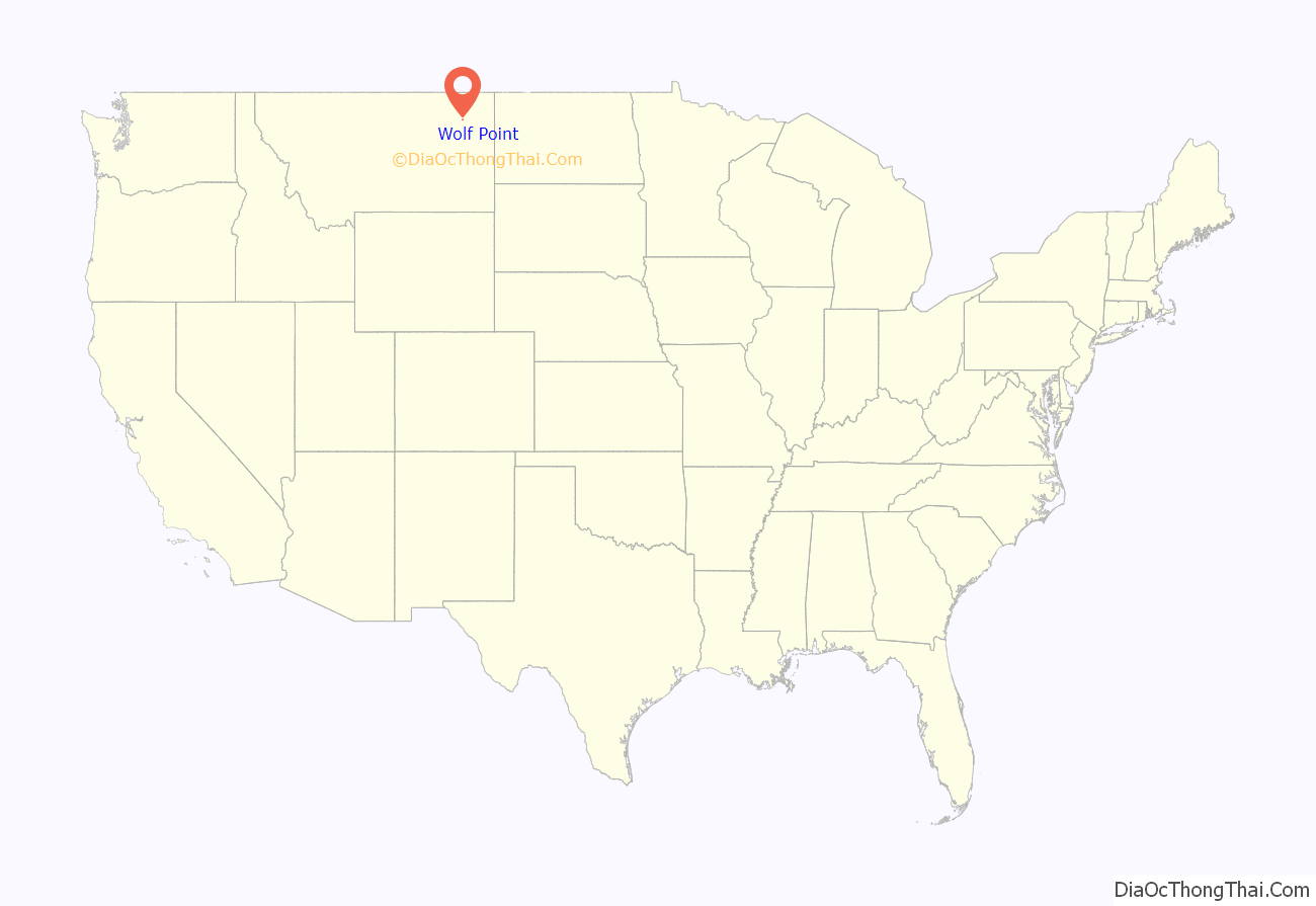
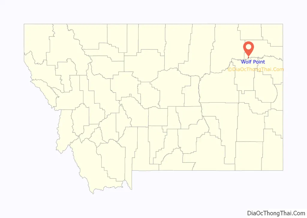
Wolf Point location map. Where is Wolf Point city?
History
Wolf Point began as a trading post in the 1860s, at the confluence of Wolf Creek and the Missouri River. Farming began in the area as early as 1874. The Great Northern Railway arrived in 1887. Wolf Point incorporated in 1915 and became the county seat in 1919.
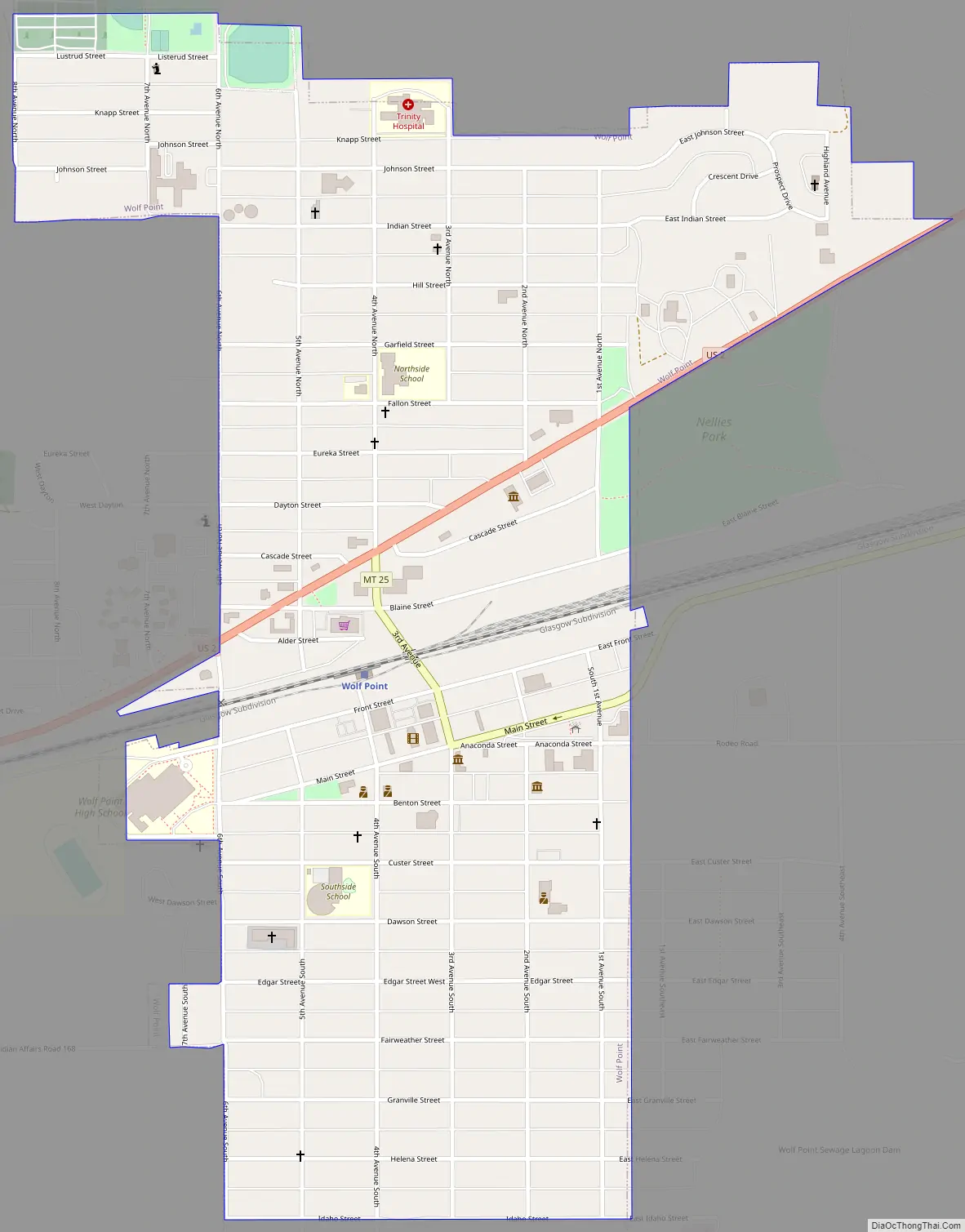
Wolf Point Road Map
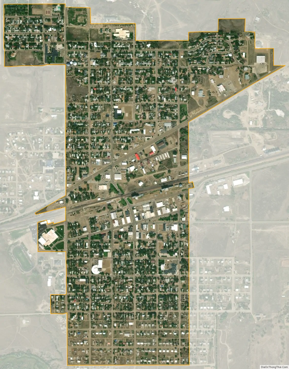
Wolf Point city Satellite Map
Geography
Topography
Wolf Point is located in north-eastern Montana in the wide, shallow valley of the Missouri River, just below its confluence with Wolf Creek. Wolf Point is situated on the High Plains of eastern Montana. According to the United States Census Bureau, the city has a total area of 0.88 square miles (2.28 km), all land.
The city is located on the north bank of the Missouri River, the southern part occupying the ancestral floodplain of that river. The northern part occupies south facing, low-lying hills overlooking a terrace. The central business district is located in the described southern portion.
Climate
Wolf Point experiences a semi-arid steppe climate (BSkw), with generally cold, dry winters and hot summers. Late spring and early summer is on average the wettest period of the year. During the summer warm, humid air masses more typical of a warm summer continental climate (Dfb) may move into the area from the south or east. Summertime thunderstorms commonly occur and sometimes can be severe featuring hail and, infrequently, funnel clouds or tornados.
Cold waves may cover the area 6 to 12 times per winter, with temperatures well below 0 °F (−17.8 °C). Between cold waves there are sometimes periods of longer than 10 days of mild, but often windy weather caused by chinook winds. These winds cause temperatures to rise rapidly, often giving relief in the form of mild temperatures in the coldest months of the year.
See also
Map of Montana State and its subdivision:- Beaverhead
- Big Horn
- Blaine
- Broadwater
- Carbon
- Carter
- Cascade
- Chouteau
- Custer
- Daniels
- Dawson
- Deer Lodge
- Fallon
- Fergus
- Flathead
- Gallatin
- Garfield
- Glacier
- Golden Valley
- Granite
- Hill
- Jefferson
- Judith Basin
- Lake
- Lewis and Clark
- Liberty
- Lincoln
- Madison
- McCone
- Meagher
- Mineral
- Missoula
- Musselshell
- Park
- Petroleum
- Phillips
- Pondera
- Powder River
- Powell
- Prairie
- Ravalli
- Richland
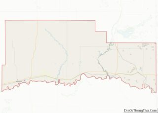
- Roosevelt
- Rosebud
- Sanders
- Sheridan
- Silver Bow
- Stillwater
- Sweet Grass
- Teton
- Toole
- Treasure
- Valley
- Wheatland
- Wibaux
- Yellowstone
- Alabama
- Alaska
- Arizona
- Arkansas
- California
- Colorado
- Connecticut
- Delaware
- District of Columbia
- Florida
- Georgia
- Hawaii
- Idaho
- Illinois
- Indiana
- Iowa
- Kansas
- Kentucky
- Louisiana
- Maine
- Maryland
- Massachusetts
- Michigan
- Minnesota
- Mississippi
- Missouri
- Montana
- Nebraska
- Nevada
- New Hampshire
- New Jersey
- New Mexico
- New York
- North Carolina
- North Dakota
- Ohio
- Oklahoma
- Oregon
- Pennsylvania
- Rhode Island
- South Carolina
- South Dakota
- Tennessee
- Texas
- Utah
- Vermont
- Virginia
- Washington
- West Virginia
- Wisconsin
- Wyoming