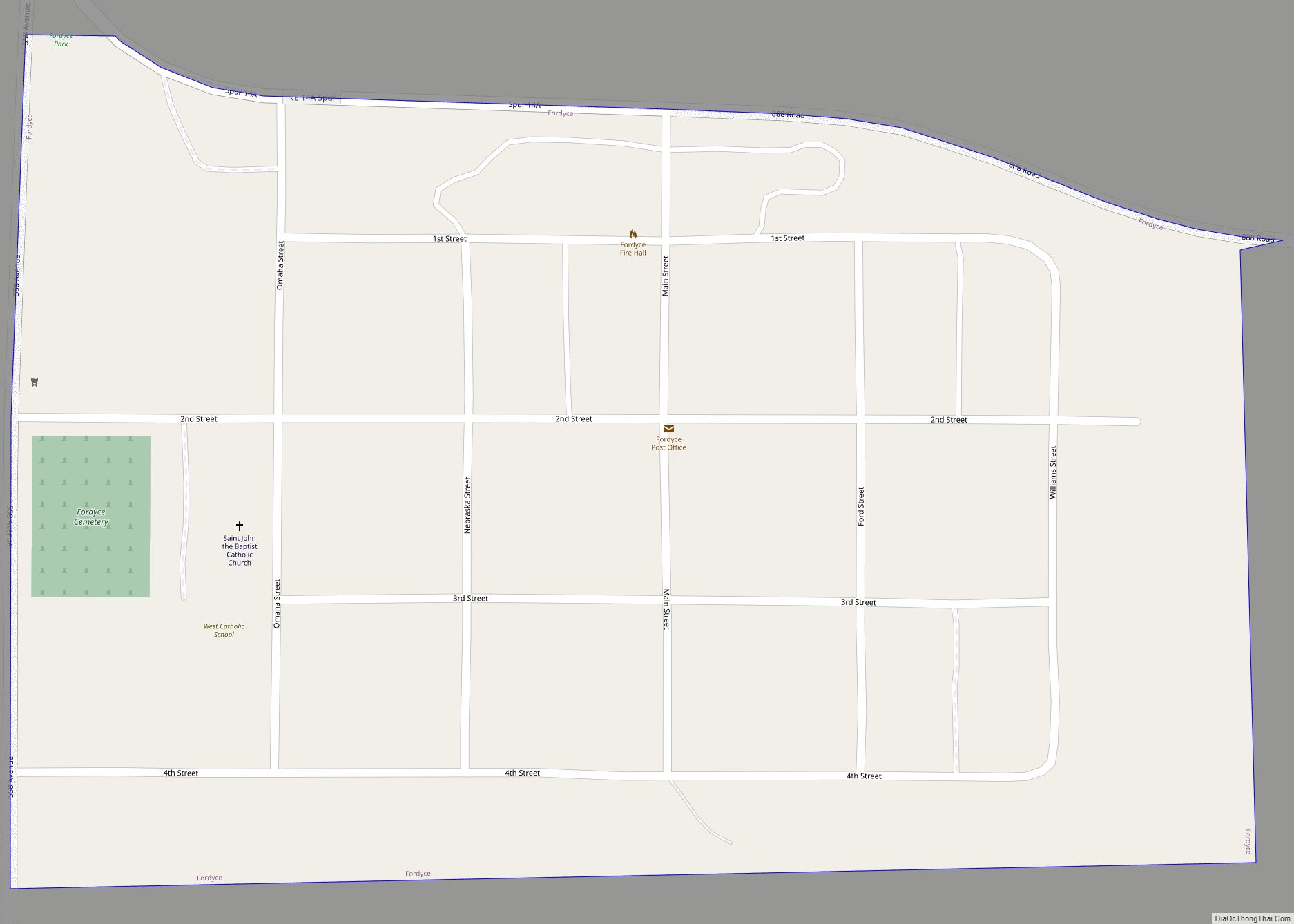
Fordyce is a village in Cedar County, Nebraska, United States. The population was 133 at the 2020 census. Fordyce village overview: Name: Fordyce village LSAD Code: 47 LSAD Description: village (suffix) State: Nebraska County: Cedar County Elevation: 1,371 ft (418 m) Total Area: 0.14 sq mi (0.38 km²) Land Area: 0.14 sq mi (0.38 km²) Water Area: 0.00 sq mi (0.00 km²) Total Population: 133 Population ... Read more
Nebraska Cities and Places
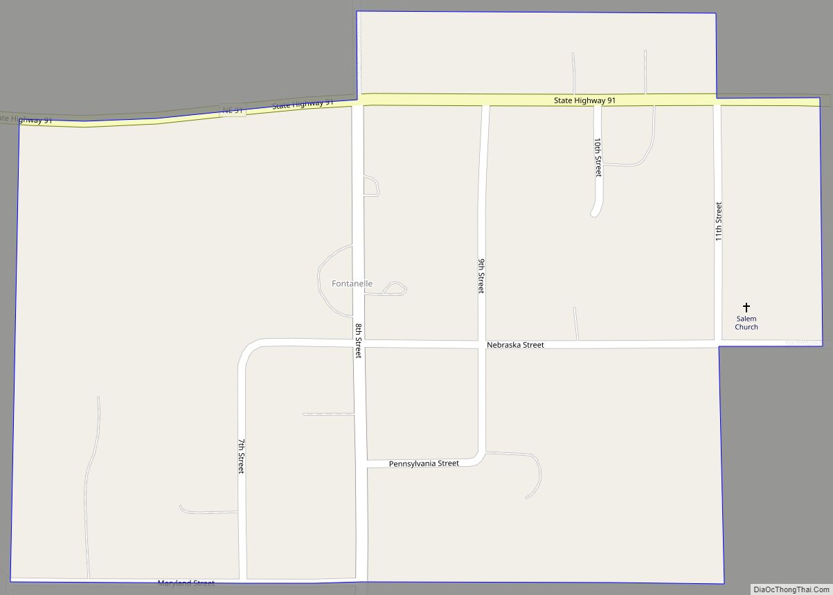
Fontanelle is an unincorporated community and census-designated place (CDP) in Washington County, Nebraska, United States. The site of repeated incursions by the neighboring Pawnee tribe, Fontanelle was an early boom town in the Nebraska Territory, but waned in importance after failing to secure a railroad connection in the late 19th century. The 1860 Federal Census ... Read more
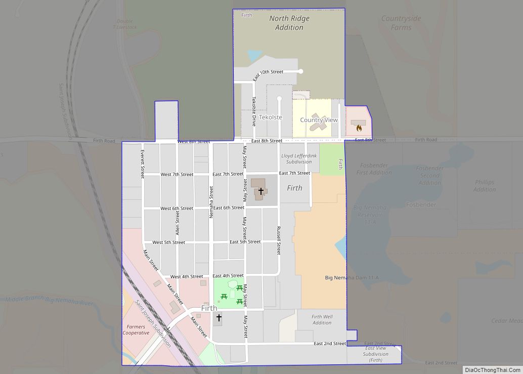
Firth is a village in Lancaster County, Nebraska, United States. It is part of the Lincoln, Nebraska Metropolitan Statistical Area. The population was 649 at the 2020 census. Firth village overview: Name: Firth village LSAD Code: 47 LSAD Description: village (suffix) State: Nebraska County: Lancaster County Elevation: 1,355 ft (413 m) Total Area: 0.35 sq mi (0.92 km²) Land Area: ... Read more
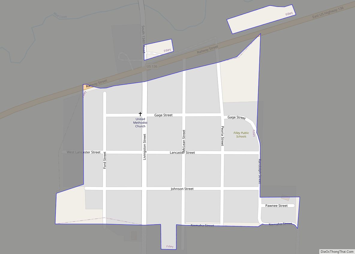
Filley is a village in Gage County, Nebraska, United States. The population was 124 at the 2020 census. Filley village overview: Name: Filley village LSAD Code: 47 LSAD Description: village (suffix) State: Nebraska County: Gage County Elevation: 1,404 ft (428 m) Total Area: 0.11 sq mi (0.28 km²) Land Area: 0.11 sq mi (0.28 km²) Water Area: 0.00 sq mi (0.00 km²) Total Population: 124 Population ... Read more
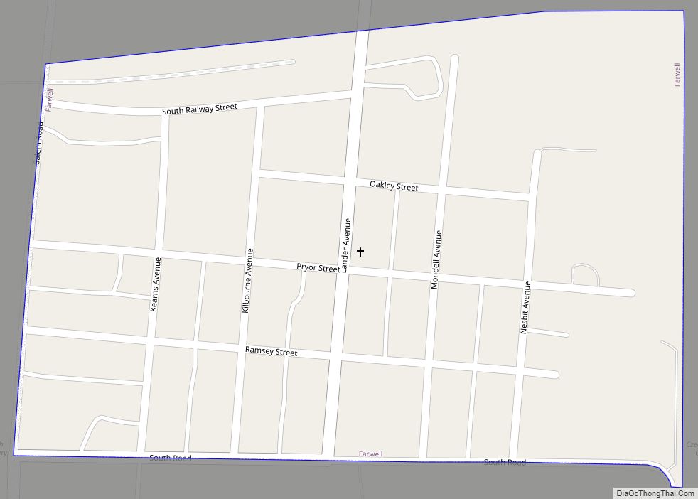
Farwell is a village in Howard County, Nebraska, United States. The population was 122 at the 2010 census. It is part of the Grand Island, Nebraska Micropolitan Statistical Area. Farwell village overview: Name: Farwell village LSAD Code: 47 LSAD Description: village (suffix) State: Nebraska County: Howard County Elevation: 1,998 ft (609 m) Total Area: 0.17 sq mi (0.45 km²) Land ... Read more
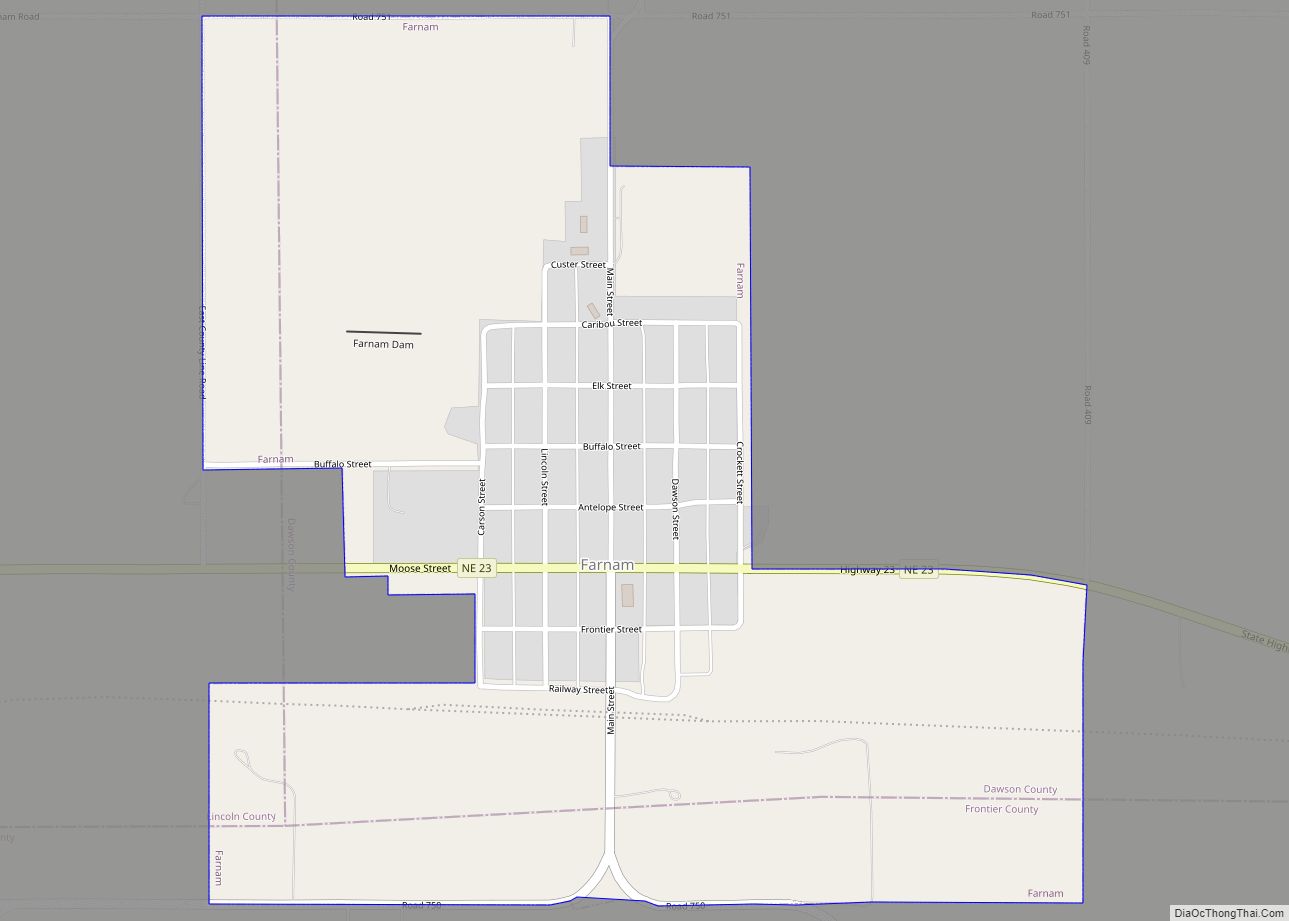
Farnam is a village in Dawson County, Nebraska, United States. It is part of the Lexington, Nebraska Micropolitan Statistical Area. The population was 171 at the 2010 census. Farnam village overview: Name: Farnam village LSAD Code: 47 LSAD Description: village (suffix) State: Nebraska County: Dawson County Elevation: 2,753 ft (839 m) Total Area: 0.67 sq mi (1.74 km²) Land Area: ... Read more
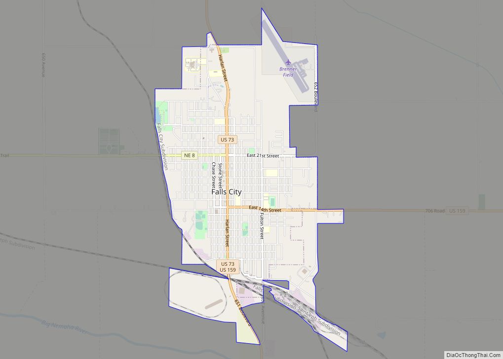
Falls City is a city and county seat of Richardson County, Nebraska, United States. The population was 4,133 at the 2020 census, down from 4,325 in 2010 and 4,671 in 2000. Falls City city overview: Name: Falls City city LSAD Code: 25 LSAD Description: city (suffix) State: Nebraska County: Richardson County Elevation: 988 ft (301 m) Total ... Read more
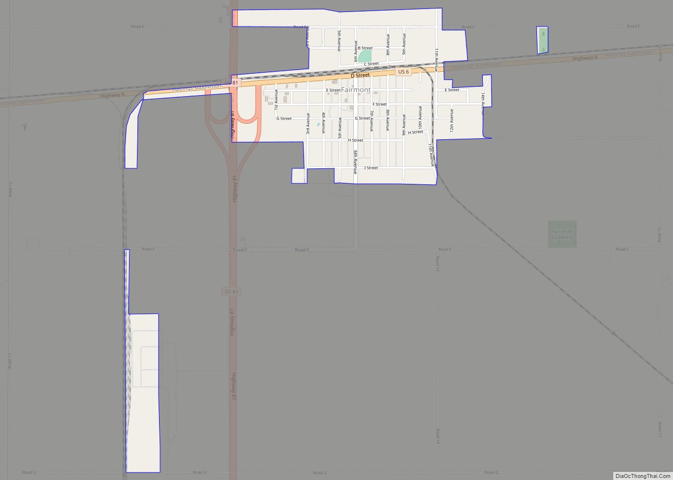
Fairmont is a village in Fillmore County, Nebraska, United States. The population was 602 at the 2020 census. Fairmont village overview: Name: Fairmont village LSAD Code: 47 LSAD Description: village (suffix) State: Nebraska County: Fillmore County Elevation: 1,640 ft (500 m) Total Area: 1.15 sq mi (2.98 km²) Land Area: 1.15 sq mi (2.98 km²) Water Area: 0.00 sq mi (0.00 km²) Total Population: 602 Population ... Read more
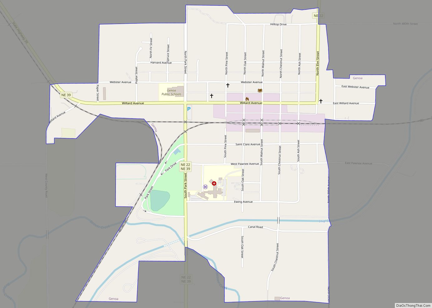
Genoa (pron. je NO uh) is a city in Nance County, Nebraska, United States. The population was 1,003 at the 2010 census. The city was founded by Mormons in 1857. In the fall of 1859, the Mormon Colony was forced to abandon Genoa when the town and surrounding area were incorporated into the newly created ... Read more
Geneva is a city in, and the county seat of, Fillmore County, Nebraska, United States. The population was 2,217 at the 2010 census. Geneva city overview: Name: Geneva city LSAD Code: 25 LSAD Description: city (suffix) State: Nebraska County: Fillmore County Elevation: 1,644 ft (501 m) Total Area: 2.28 sq mi (5.91 km²) Land Area: 2.28 sq mi (5.91 km²) Water Area: 0.00 sq mi ... Read more
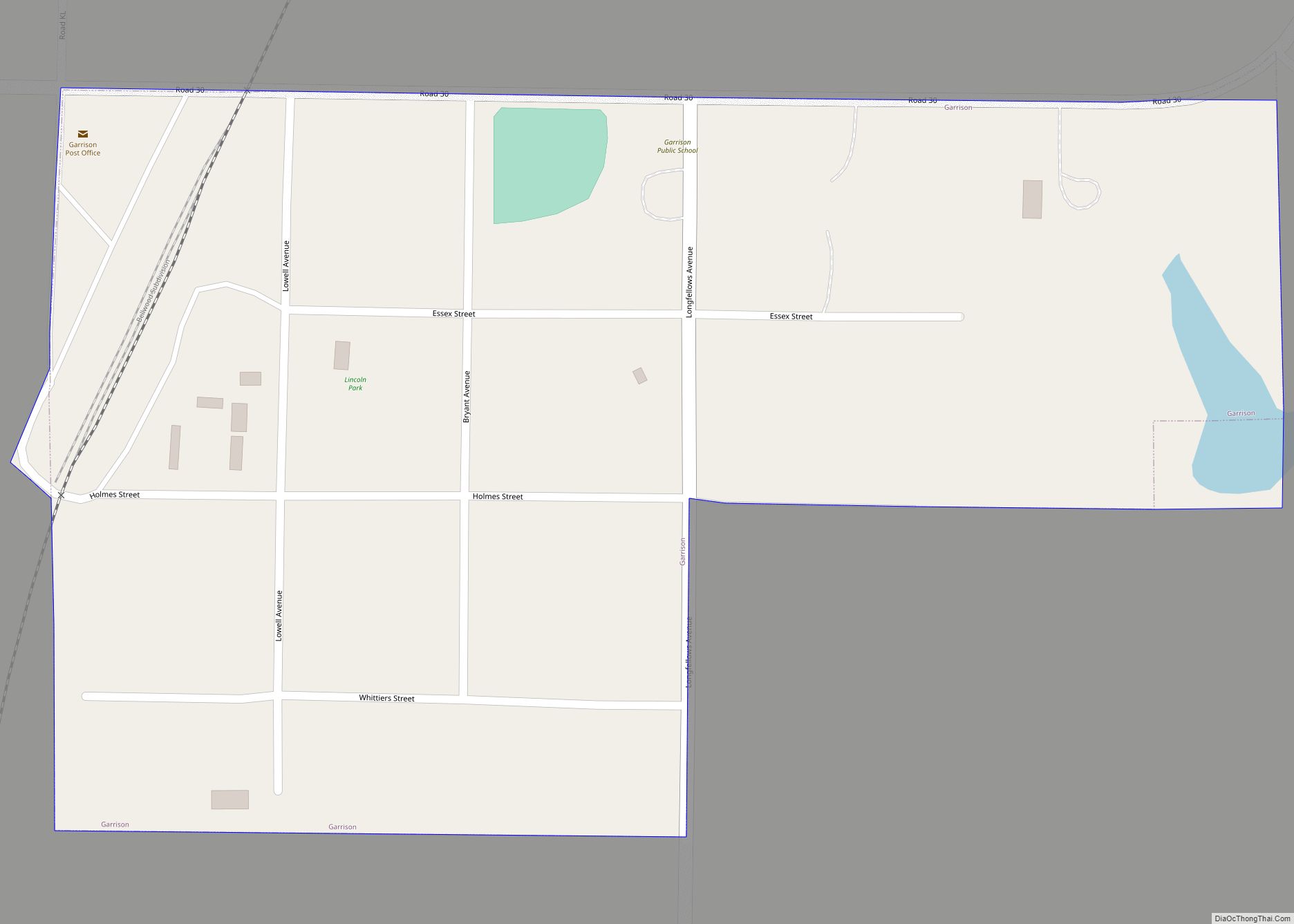
Garrison is a village in Butler County, Nebraska, United States. The population was 54 at the 2010 census. Garrison village overview: Name: Garrison village LSAD Code: 47 LSAD Description: village (suffix) State: Nebraska County: Butler County Elevation: 1,601 ft (488 m) Total Area: 0.11 sq mi (0.28 km²) Land Area: 0.11 sq mi (0.28 km²) Water Area: 0.00 sq mi (0.00 km²) Total Population: 55 Population ... Read more
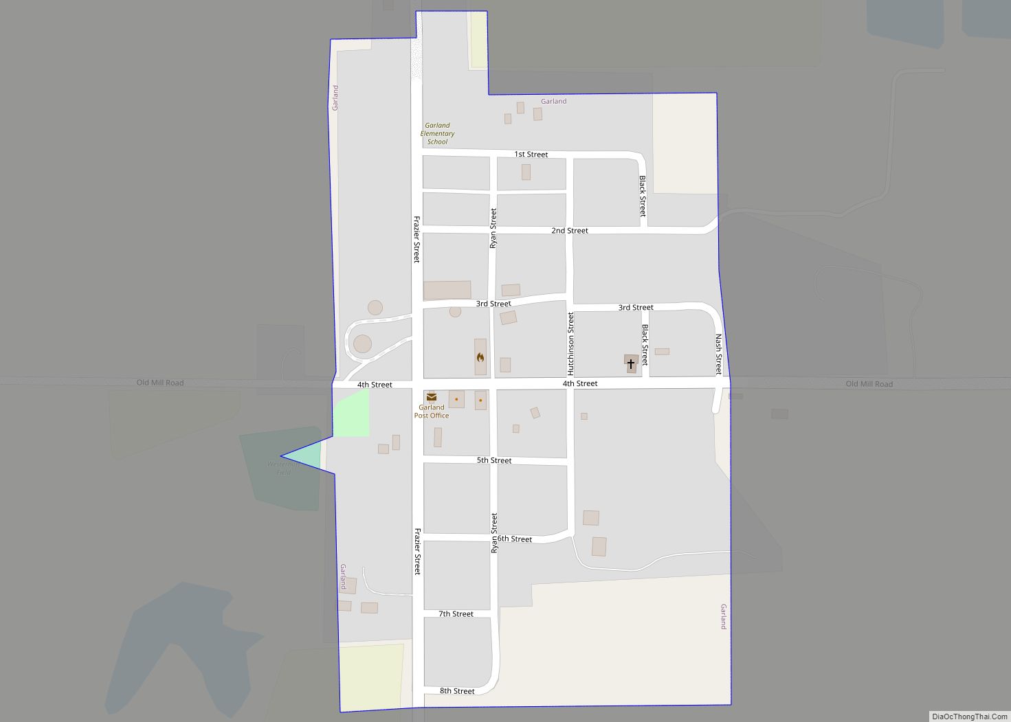
Garland, formerly known as Germantown, is a village in Seward County, Nebraska, United States. It is part of the Lincoln, Nebraska Metropolitan Statistical Area. The population was 216 at the 2010 census. Garland village overview: Name: Garland village LSAD Code: 47 LSAD Description: village (suffix) State: Nebraska County: Seward County Elevation: 1,575 ft (480 m) Total Area: ... Read more
