Falls City is a city and county seat of Richardson County, Nebraska, United States. The population was 4,133 at the 2020 census, down from 4,325 in 2010 and 4,671 in 2000.
| Name: | Falls City city |
|---|---|
| LSAD Code: | 25 |
| LSAD Description: | city (suffix) |
| State: | Nebraska |
| County: | Richardson County |
| Elevation: | 988 ft (301 m) |
| Total Area: | 3.35 sq mi (8.67 km²) |
| Land Area: | 3.34 sq mi (8.66 km²) |
| Water Area: | 0.01 sq mi (0.01 km²) |
| Total Population: | 4,133 |
| Population Density: | 1,236.31/sq mi (477.38/km²) |
| ZIP code: | 68355 |
| Area code: | 402 |
| FIPS code: | 3116655 |
| GNISfeature ID: | 2394740 |
| Website: | fallscityonline.com |
Online Interactive Map
Click on ![]() to view map in "full screen" mode.
to view map in "full screen" mode.
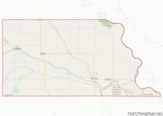
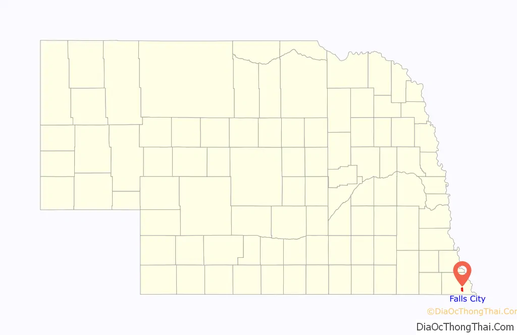
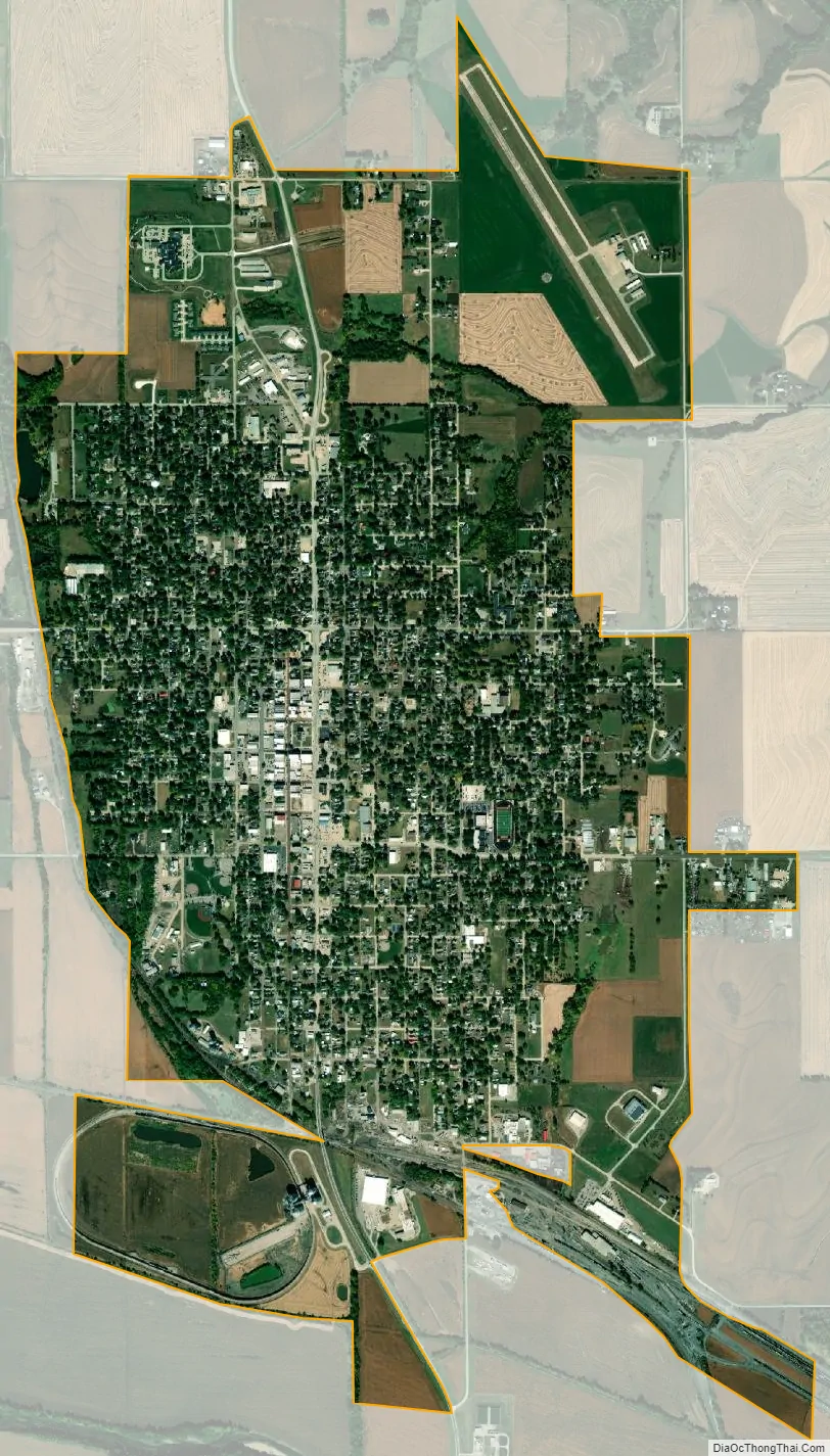
Falls City location map. Where is Falls City city?

History
Falls City was founded in the summer of 1857 by James Lane, John Burbank, J.E. Burbank, and Isaac L. Hamby. The town is located on the north side of the Big Nemaha River, in the southeast corner of the state. The river in 1857 had banks and bed of rock and stone. The town was located near where the river flowed over a four-foot (1.3 m) rock ledge called the “Falls of Nemaha”, for which the town was named. Over time the river has changed to the extent that the falls no longer exist.
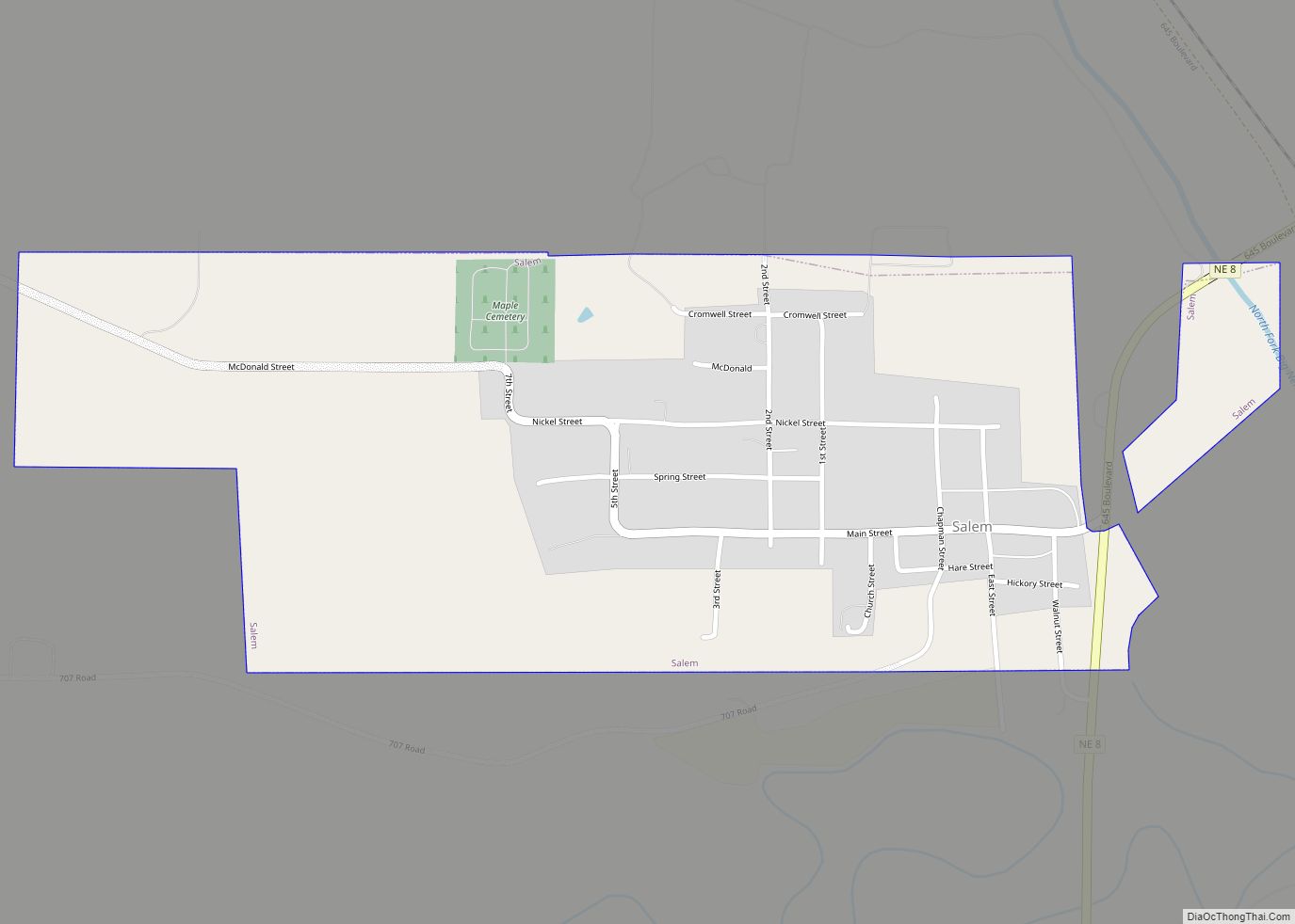
The town was a stop on the Underground Railroad for escaping slaves during the struggles resulting from the Kansas–Nebraska Act. Early in the city’s history, it won a prolonged process to become the county seat of Richardson County. The county originally selected Salem, Nebraska to be the county seat, but due to Salem’s lack of a suitable building site, a new election was held which Falls City tied in the vote. Finally in a third election in 1860, Falls City was declared the permanent site of the county seat.
Falls City grew in the late 19th century due to the arrival of the Atchison & Nebraska Railroad in 1871 and the Missouri Pacific in 1882, for which Falls City was designated as a division point in 1909. The population of the city peaked at 6,200 citizens in 1950.
In the summer of 1966, Braniff Airlines Flight 250 crashed near Falls City due to bad weather, killing all 42 on board. The BAC One-Eleven aircraft was on the Kansas City to Omaha leg of a multi-stop flight from New Orleans to Minneapolis on Saturday night, August 6.
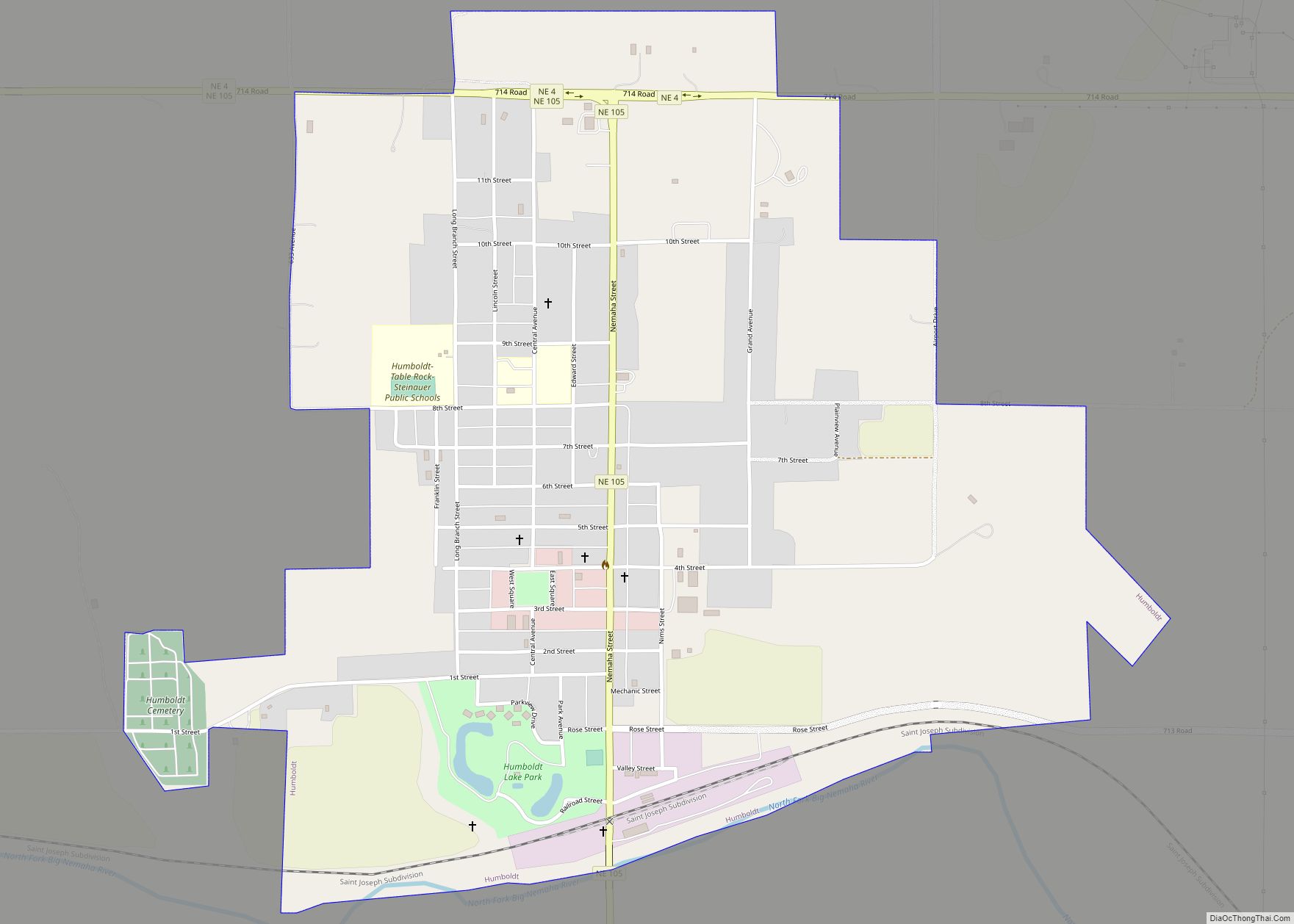
In 1993, Brandon Teena, a trans man who had recently arrived in Falls City, was murdered by two acquaintances who, upon discovering that he had been assigned female at birth, had beaten and raped him about a week previously. Brandon had reported the rape to the police, but the Richardson County sheriff had failed to take steps to protect him; in particular, he had not arrested the two alleged rapists. Learning that the rape had been reported, the two tracked Brandon to a farmhouse near Humboldt, where they killed him and two others. Brandon’s mother subsequently sued the sheriff and the county for negligence, wrongful death, and intentional infliction of emotional distress. Briefs were filed in the case by thirty-four civil-rights groups, including the Lambda Legal Defense and Education Fund; the matter eventually came before the Nebraska Supreme Court, which found the county negligent in failing to protect Brandon. The episode was dramatized in a 1999 film titled Boys Don’t Cry; actor Hilary Swank received an Academy Award for Best Actress for her portrayal of Brandon.
East side of Stone Street, 1868
Looking south on Stone Street, 1917
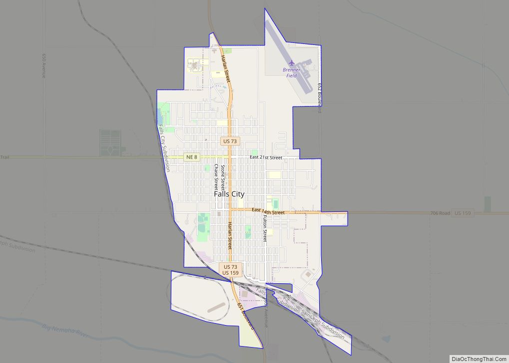
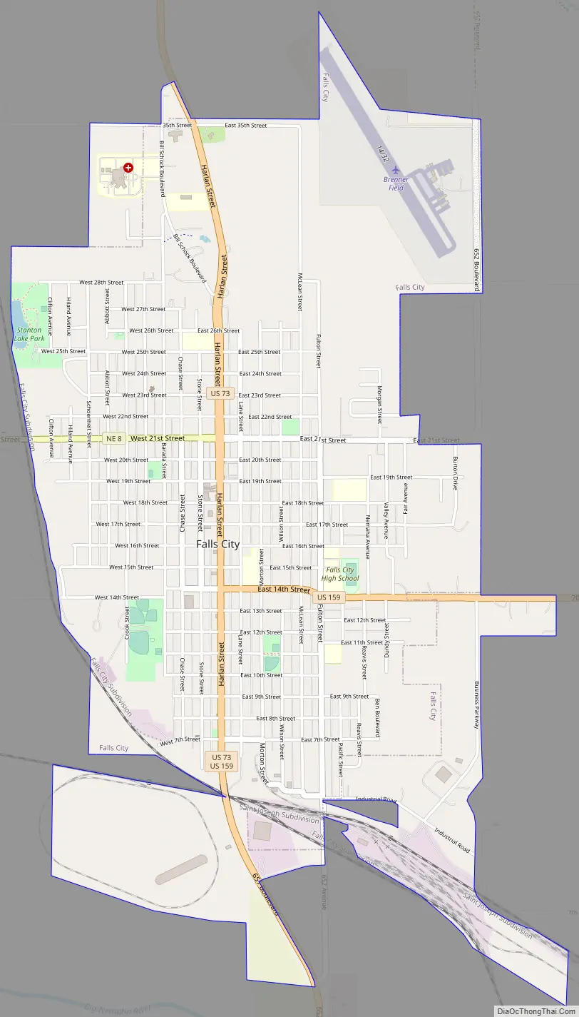
Falls City Road Map
Falls City city Satellite Map
Geography
According to the United States Census Bureau, the city has a total area of 3.06 square miles (7.93 km), of which 3.05 square miles (7.90 km) is land and 0.01 square miles (0.03 km) is water.
Major highways
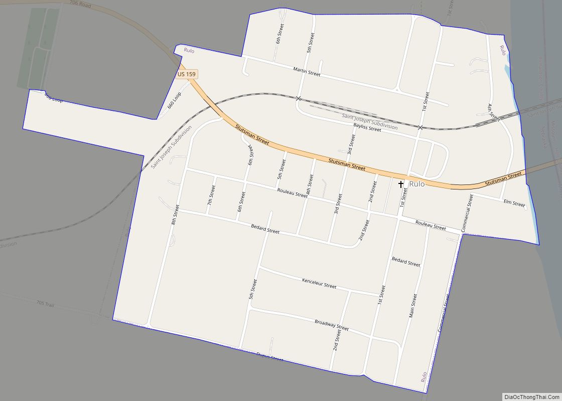
The major highways through the city are U.S. Highway 73 () running north and south through the city, U.S. Highway 159 () running east toward the Rulo bridge (and connecting to the state of Missouri), and Nebraska Highway 8 () running west toward Salem, Nebraska and continuing along the southern border of Nebraska. Other state highways provide connections between smaller towns in Richardson County, Nebraska.
Climate
Under the Köppen climate classification, Falls City is categorized as having a hot summer humid continental climate (Dfa).
See also
Map of Nebraska State and its subdivision:- Adams
- Antelope
- Arthur
- Banner
- Blaine
- Boone
- Box Butte
- Boyd
- Brown
- Buffalo
- Burt
- Butler
- Cass
- Cedar
- Chase
- Cherry
- Cheyenne
- Clay
- Colfax
- Cuming
- Custer
- Dakota
- Dawes
- Dawson
- Deuel
- Dixon
- Dodge
- Douglas
- Dundy
- Fillmore
- Franklin
- Frontier
- Furnas
- Gage
- Garden
- Garfield
- Gosper
- Grant
- Greeley
- Hall
- Hamilton
- Harlan
- Hayes
- Hitchcock
- Holt
- Hooker
- Howard
- Jefferson
- Johnson
- Kearney
- Keith
- Keya Paha
- Kimball
- Knox
- Lancaster
- Lincoln
- Logan
- Loup
- Madison
- McPherson
- Merrick
- Morrill
- Nance
- Nemaha
- Nuckolls
- Otoe
- Pawnee
- Perkins
- Phelps
- Pierce
- Platte
- Polk
- Red Willow
- Richardson
- Rock
- Saline
- Sarpy
- Saunders
- Scotts Bluff
- Seward
- Sheridan
- Sherman
- Sioux
- Stanton
- Thayer
- Thomas
- Thurston
- Valley
- Washington
- Wayne
- Webster
- Wheeler
- York
- Alabama
- Alaska
- Arizona
- Arkansas
- California
- Colorado
- Connecticut
- Delaware
- District of Columbia
- Florida
- Georgia
- Hawaii
- Idaho
- Illinois
- Indiana
- Iowa
- Kansas
- Kentucky
- Louisiana
- Maine
- Maryland
- Massachusetts
- Michigan
- Minnesota
- Mississippi
- Missouri
- Montana
- Nebraska
- Nevada
- New Hampshire
- New Jersey
- New Mexico
- New York
- North Carolina
- North Dakota
- Ohio
- Oklahoma
- Oregon
- Pennsylvania
- Rhode Island
- South Carolina
- South Dakota
- Tennessee
- Texas
- Utah
- Vermont
- Virginia
- Washington
- West Virginia
- Wisconsin
- Wyoming