Franklin is a city in Franklin County, Nebraska, United States. The population was 1,000 at the 2010 census. It is the county seat of Franklin County.
| Name: | Franklin city |
|---|---|
| LSAD Code: | 25 |
| LSAD Description: | city (suffix) |
| State: | Nebraska |
| County: | Franklin County |
| Elevation: | 1,864 ft (568 m) |
| Total Area: | 0.99 sq mi (2.57 km²) |
| Land Area: | 0.99 sq mi (2.57 km²) |
| Water Area: | 0.00 sq mi (0.00 km²) |
| Total Population: | 941 |
| Population Density: | 948.59/sq mi (366.14/km²) |
| ZIP code: | 68939 |
| Area code: | 308 |
| FIPS code: | 3117530 |
| GNISfeature ID: | 0829385 |
| Website: | www.franklinnebraska.com |
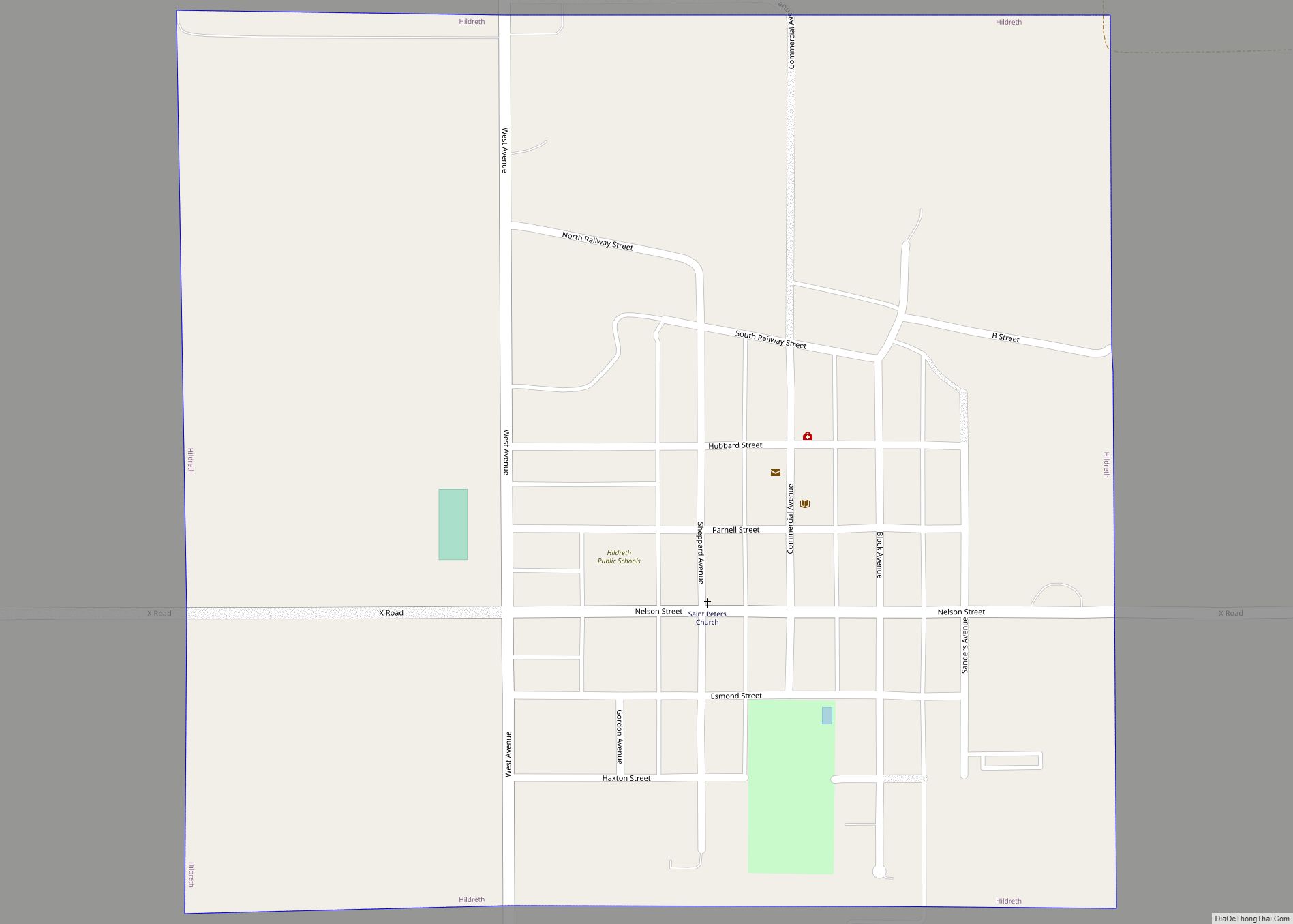
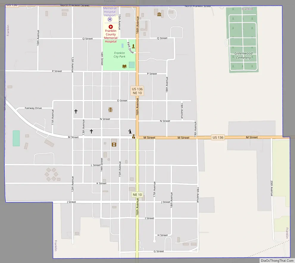
Online Interactive Map
Click on ![]() to view map in "full screen" mode.
to view map in "full screen" mode.
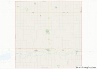
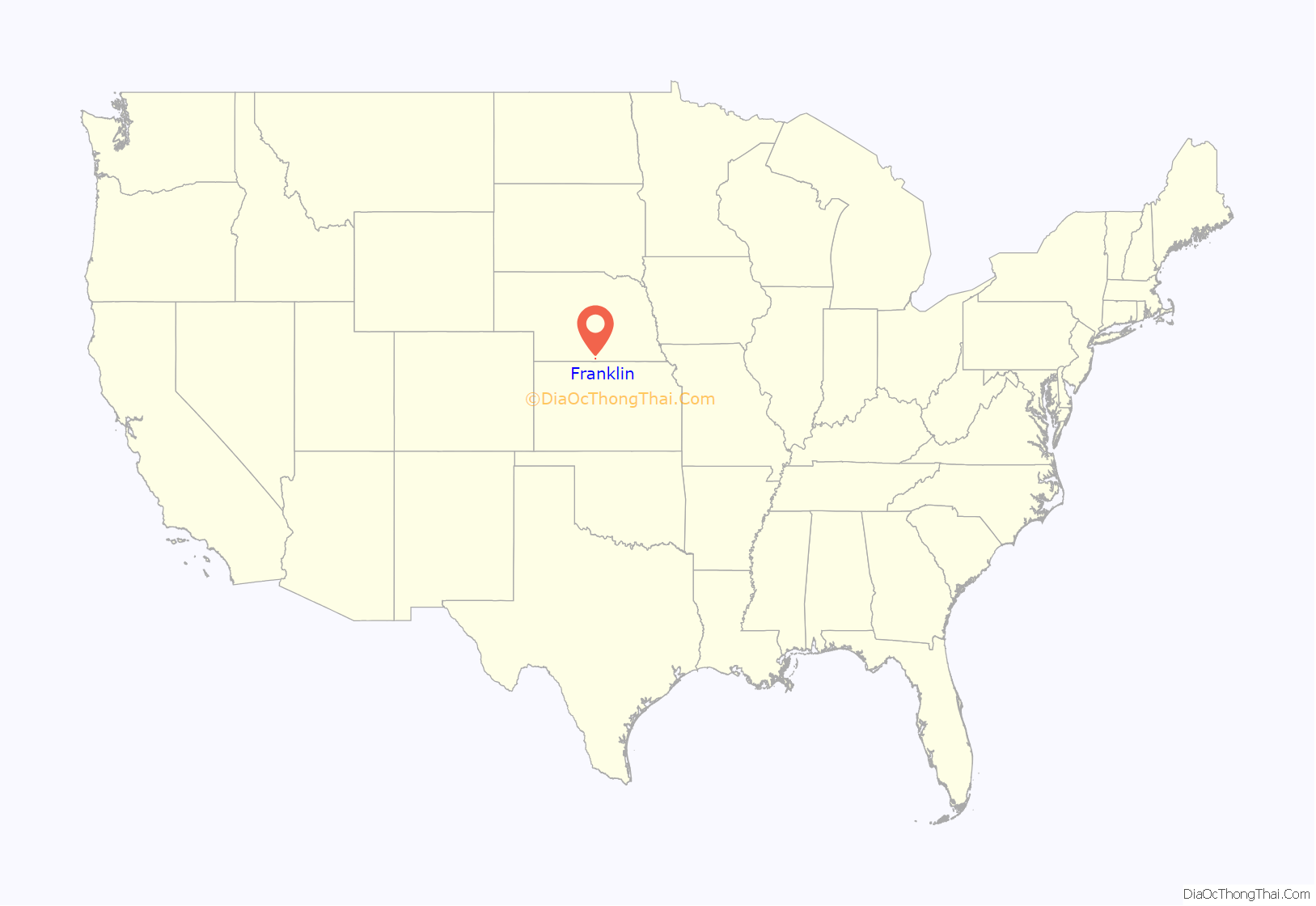
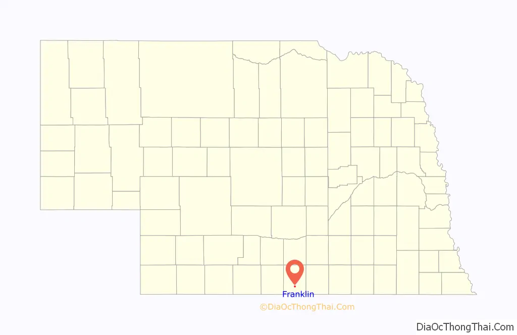
Franklin location map. Where is Franklin city?
History
Franklin was founded in the 1870s. It was named for Benjamin Franklin.
Former Nebraska Governor, Ashton Shallenberger, collapsed and then died a few moments later while giving a speech in Franklin on February 22, 1938.
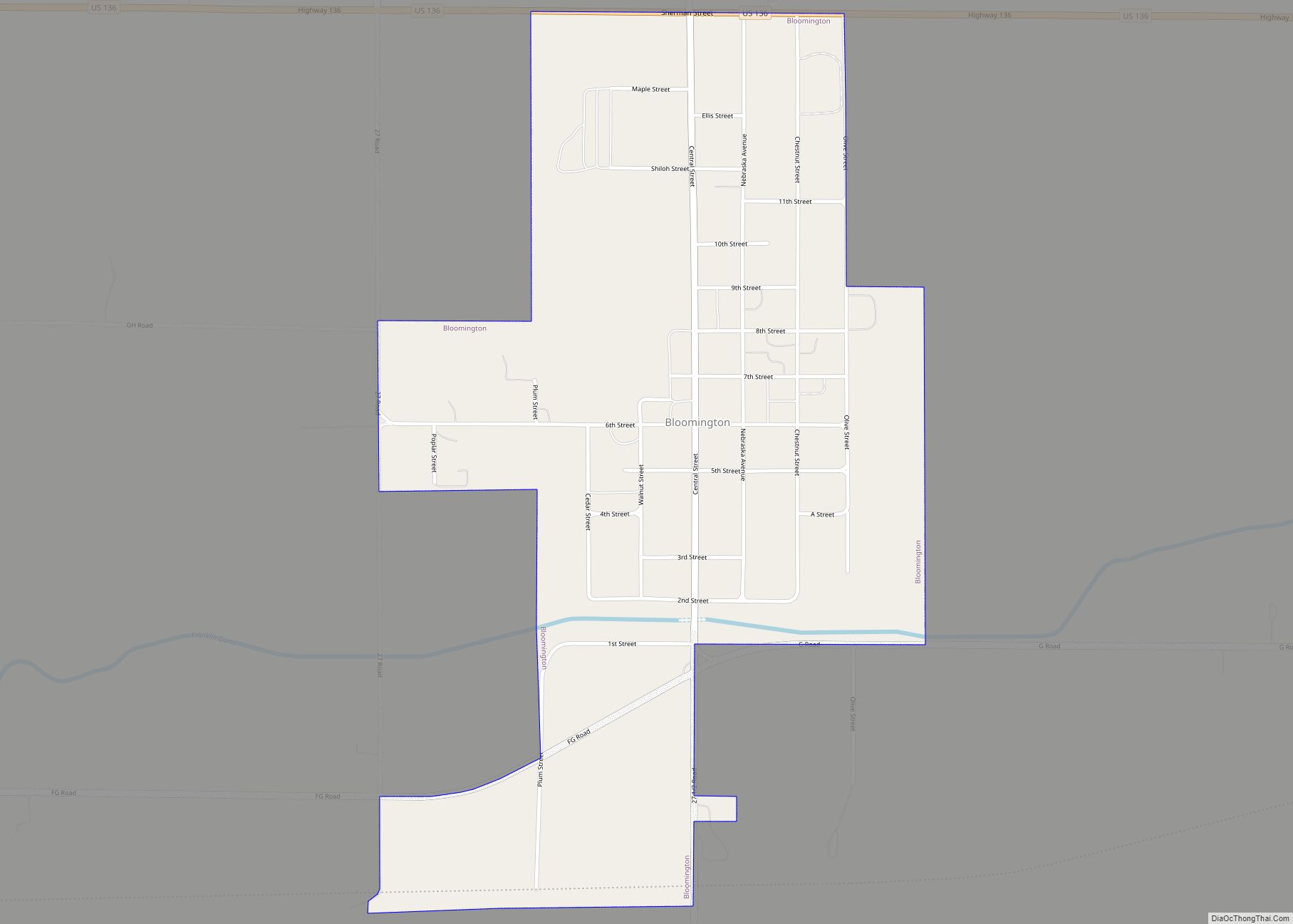
Franklin Road Map
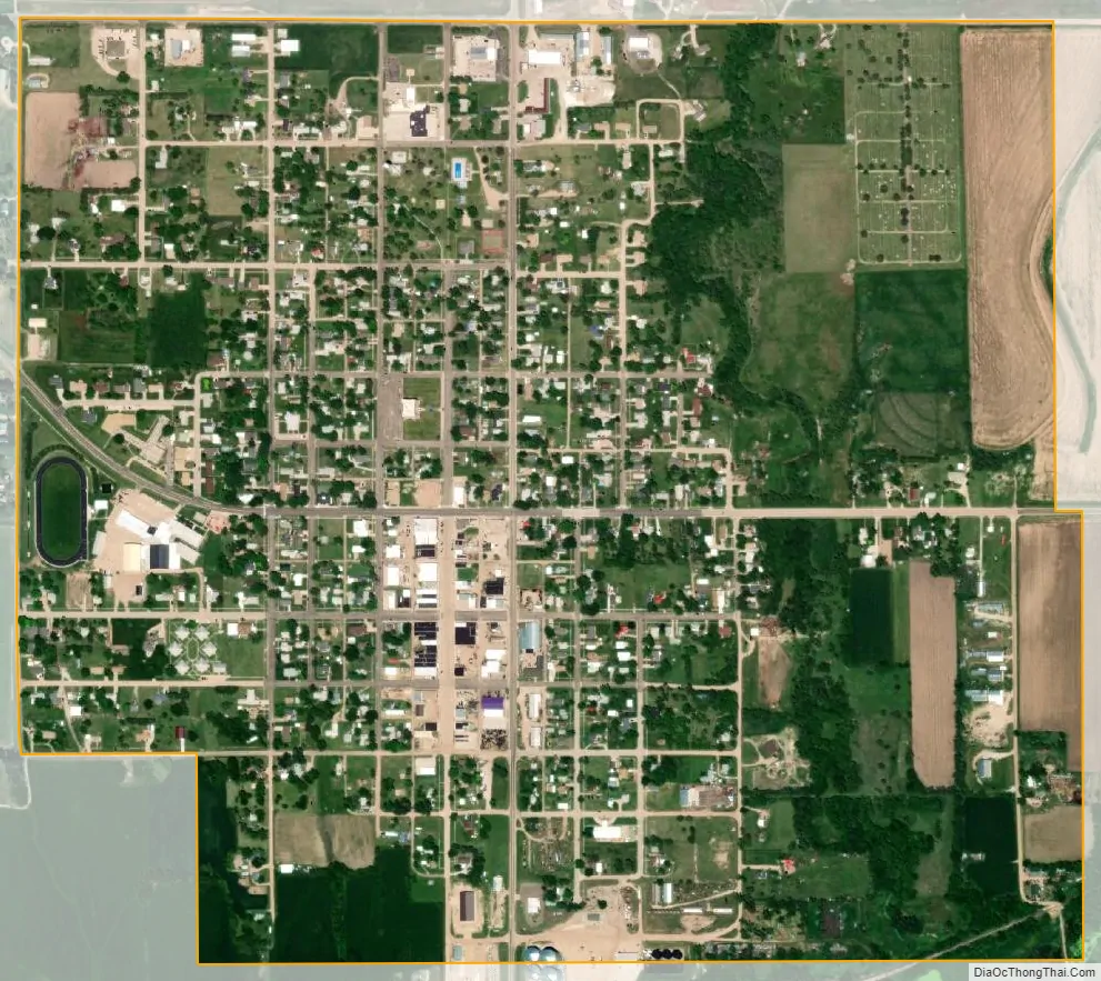
Franklin city Satellite Map
Geography
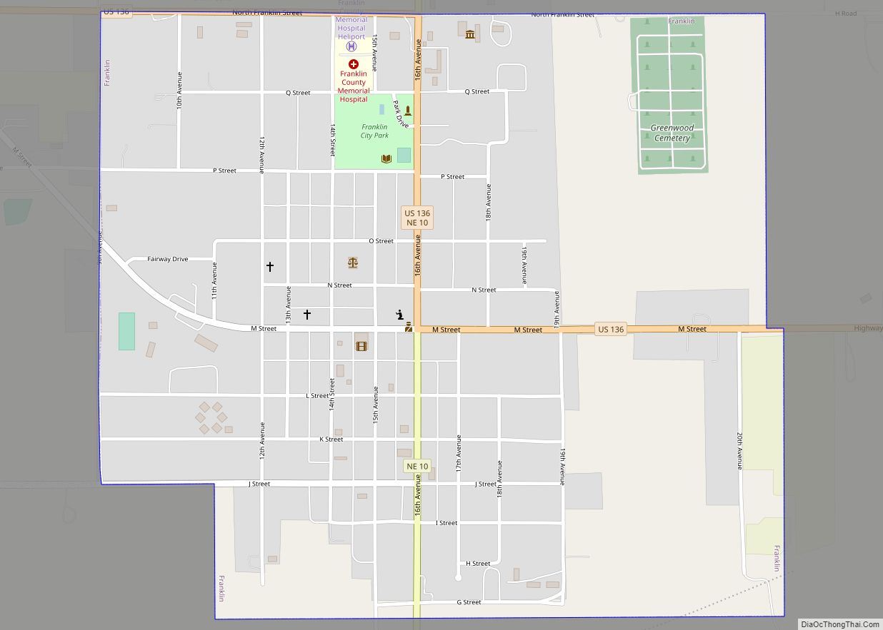
Franklin is located at 40°5′43″N 98°57′11″W / 40.09528°N 98.95306°W / 40.09528; -98.95306 (40.095357, -98.953083). According to the United States Census Bureau, the city has a total area of 0.99 square miles (2.56 km), all land.
See also
Map of Nebraska State and its subdivision:- Adams
- Antelope
- Arthur
- Banner
- Blaine
- Boone
- Box Butte
- Boyd
- Brown
- Buffalo
- Burt
- Butler
- Cass
- Cedar
- Chase
- Cherry
- Cheyenne
- Clay
- Colfax
- Cuming
- Custer
- Dakota
- Dawes
- Dawson
- Deuel
- Dixon
- Dodge
- Douglas
- Dundy
- Fillmore
- Franklin
- Frontier
- Furnas
- Gage
- Garden
- Garfield
- Gosper
- Grant
- Greeley
- Hall
- Hamilton
- Harlan
- Hayes
- Hitchcock
- Holt
- Hooker
- Howard
- Jefferson
- Johnson
- Kearney
- Keith
- Keya Paha
- Kimball
- Knox
- Lancaster
- Lincoln
- Logan
- Loup
- Madison
- McPherson
- Merrick
- Morrill
- Nance
- Nemaha
- Nuckolls
- Otoe
- Pawnee
- Perkins
- Phelps
- Pierce
- Platte
- Polk
- Red Willow
- Richardson
- Rock
- Saline
- Sarpy
- Saunders
- Scotts Bluff
- Seward
- Sheridan
- Sherman
- Sioux
- Stanton
- Thayer
- Thomas
- Thurston
- Valley
- Washington
- Wayne
- Webster
- Wheeler
- York
- Alabama
- Alaska
- Arizona
- Arkansas
- California
- Colorado
- Connecticut
- Delaware
- District of Columbia
- Florida
- Georgia
- Hawaii
- Idaho
- Illinois
- Indiana
- Iowa
- Kansas
- Kentucky
- Louisiana
- Maine
- Maryland
- Massachusetts
- Michigan
- Minnesota
- Mississippi
- Missouri
- Montana
- Nebraska
- Nevada
- New Hampshire
- New Jersey
- New Mexico
- New York
- North Carolina
- North Dakota
- Ohio
- Oklahoma
- Oregon
- Pennsylvania
- Rhode Island
- South Carolina
- South Dakota
- Tennessee
- Texas
- Utah
- Vermont
- Virginia
- Washington
- West Virginia
- Wisconsin
- Wyoming