Newport is a village in Rock County, Nebraska, United States. The population was 97 at the 2010 census. Newport village overview: Name: Newport village LSAD Code: 47 LSAD Description: village (suffix) State: Nebraska County: Rock County Elevation: 2,234 ft (681 m) Total Area: 0.32 sq mi (0.82 km²) Land Area: 0.32 sq mi (0.82 km²) Water Area: 0.00 sq mi (0.00 km²) Total Population: 68 Population ... Read more
Nebraska Cities and Places
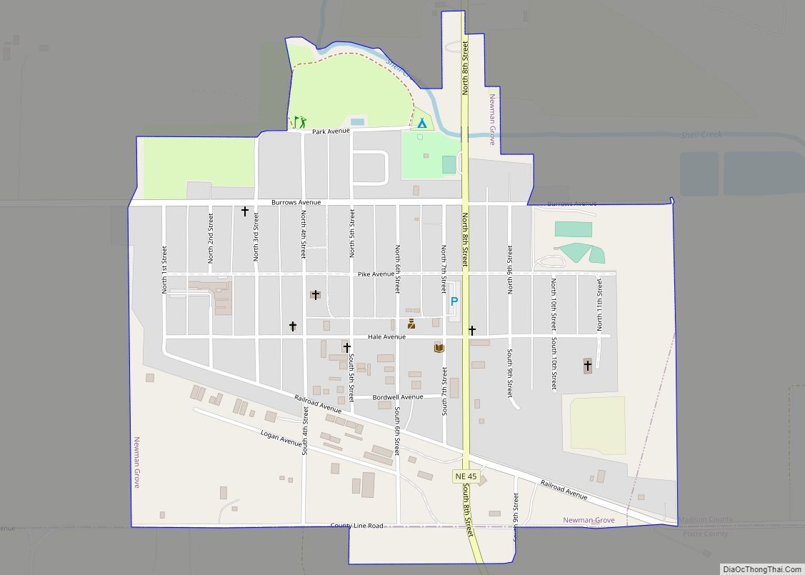
Newman Grove is a city in Madison and Platte Counties in the U.S. state of Nebraska. The population was 721 at the 2010 census. The Madison County portion of Newman Grove is part of the Norfolk, Nebraska Micropolitan Statistical Area. Newman Grove city overview: Name: Newman Grove city LSAD Code: 25 LSAD Description: city (suffix) ... Read more
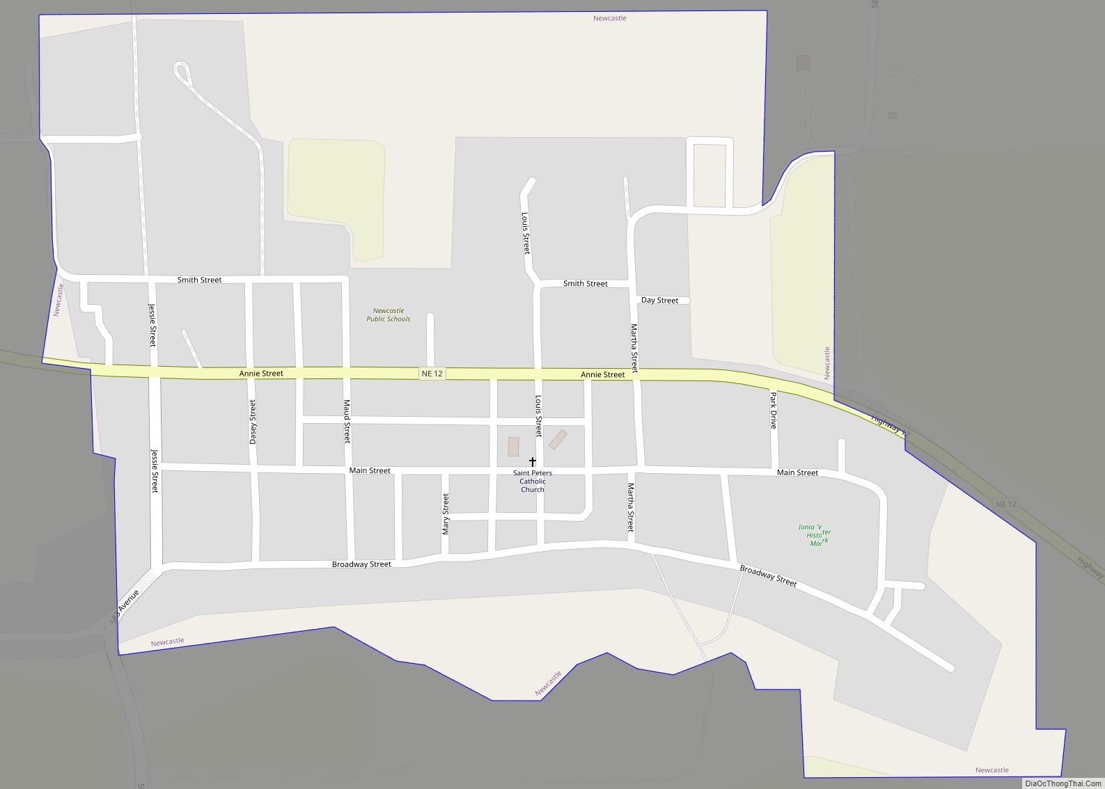
Newcastle is a village in Dixon County, Nebraska, United States. It is part of the Sioux City, IA–NE–SD Metropolitan Statistical Area. The population was 325 at the 2010 census. Newcastle village overview: Name: Newcastle village LSAD Code: 47 LSAD Description: village (suffix) State: Nebraska County: Dixon County Elevation: 1,289 ft (393 m) Total Area: 0.34 sq mi (0.88 km²) Land ... Read more
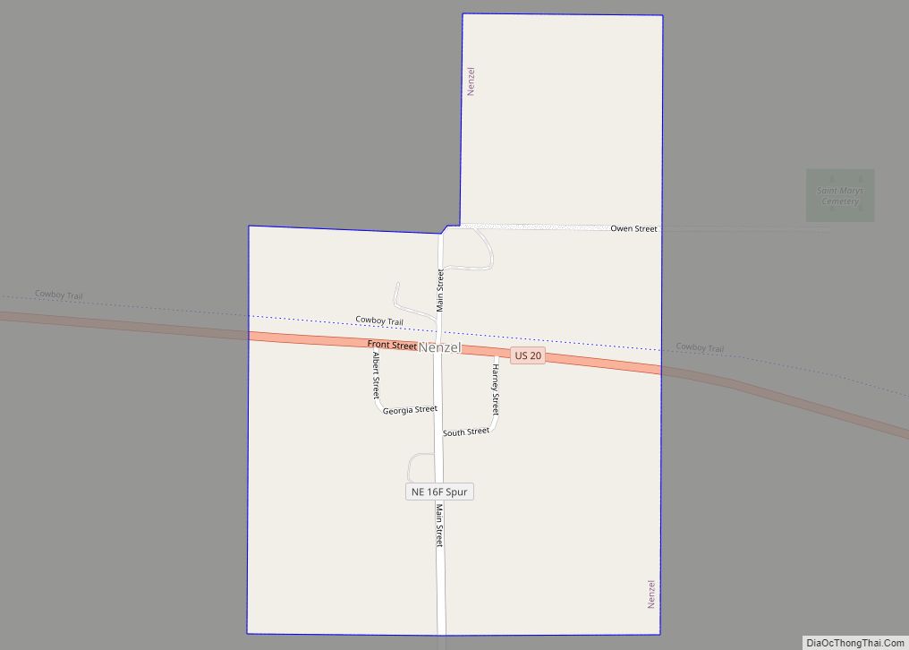
Nenzel is a village in Cherry County, Nebraska, United States. The population was 20 at the 2010 census. Nenzel village overview: Name: Nenzel village LSAD Code: 47 LSAD Description: village (suffix) State: Nebraska County: Cherry County Elevation: 3,114 ft (949 m) Total Area: 0.31 sq mi (0.81 km²) Land Area: 0.31 sq mi (0.81 km²) Water Area: 0.00 sq mi (0.00 km²) Total Population: 17 Population ... Read more
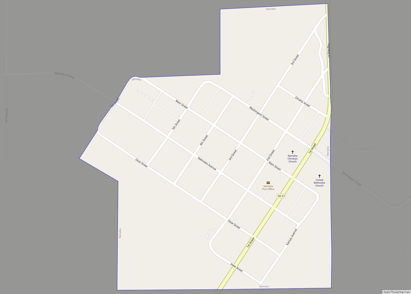
Nemaha is a village in Nemaha County, Nebraska, United States. The population was 116 at the 2020 census. Nemaha village overview: Name: Nemaha village LSAD Code: 47 LSAD Description: village (suffix) State: Nebraska County: Nemaha County Elevation: 912 ft (278 m) Total Area: 0.30 sq mi (0.79 km²) Land Area: 0.30 sq mi (0.79 km²) Water Area: 0.00 sq mi (0.00 km²) Total Population: 116 Population ... Read more
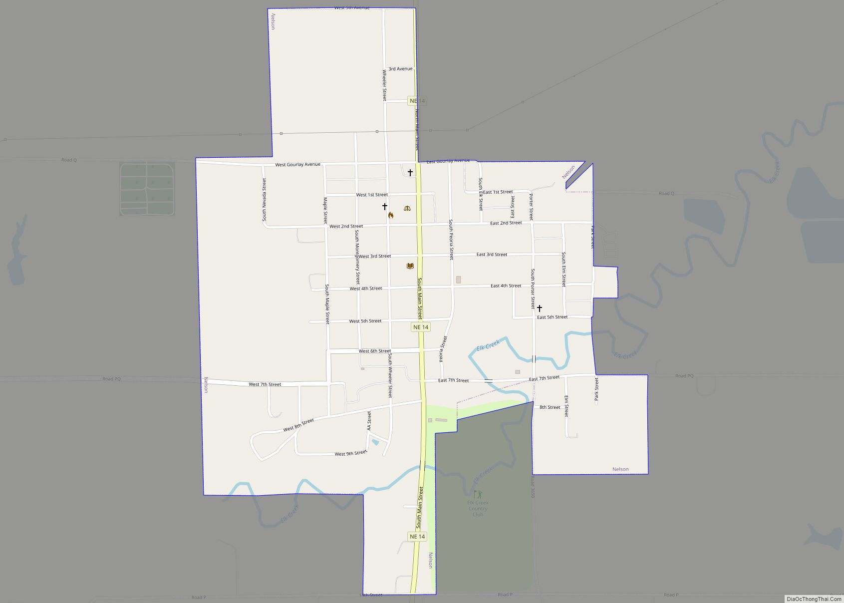
Nelson is a village and the county seat of Nuckolls County, Nebraska, United States. The population was 488 at the 2010 census. The city was named for C. Nelson Wheeler, the original owner of the town site. Nelson city overview: Name: Nelson city LSAD Code: 25 LSAD Description: city (suffix) State: Nebraska County: Nuckolls County ... Read more
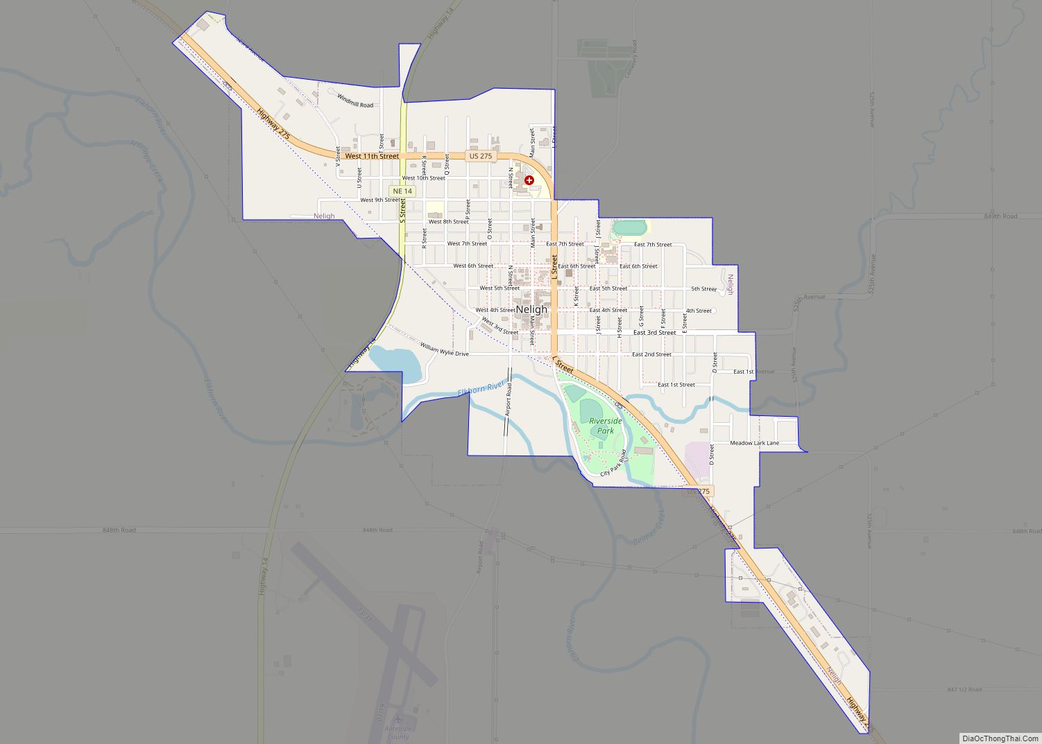
Neligh /ˈniːliː/ NEE-lee is a city and county seat in Antelope County, Nebraska, United States. The population was 1,599 at the 2010 census. Neligh city overview: Name: Neligh city LSAD Code: 25 LSAD Description: city (suffix) State: Nebraska County: Antelope County Elevation: 1,755 ft (535 m) Total Area: 1.47 sq mi (3.82 km²) Land Area: 1.46 sq mi (3.79 km²) Water Area: 0.01 sq mi ... Read more
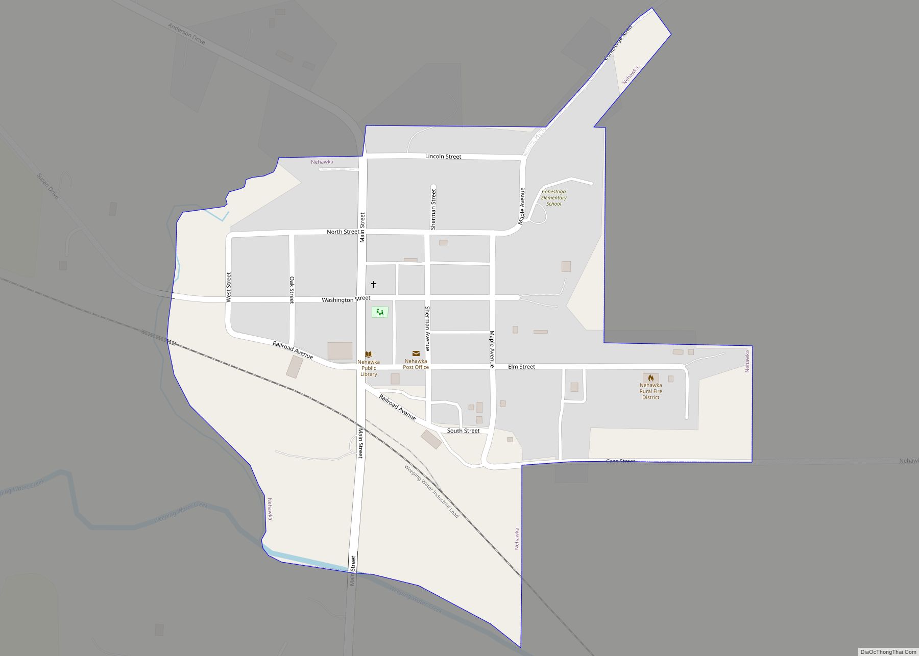
Nehawka is a village in southeast Cass County, Nebraska, United States. The population was 173 at the 2020 census. Nehawka village overview: Name: Nehawka village LSAD Code: 47 LSAD Description: village (suffix) State: Nebraska County: Cass County Elevation: 997 ft (304 m) Total Area: 0.23 sq mi (0.59 km²) Land Area: 0.23 sq mi (0.59 km²) Water Area: 0.00 sq mi (0.00 km²) Total Population: 173 ... Read more
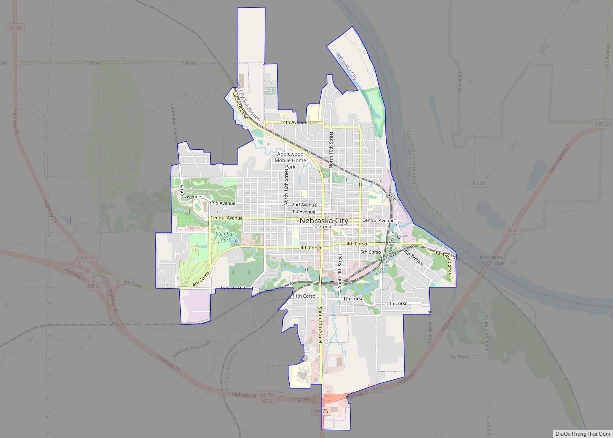
Nebraska City is a city in Nebraska and the county seat of Otoe County, Nebraska, United States. As of the 2020 census, the city population was 7,222. The Nebraska State Legislature has credited Nebraska City as being the oldest incorporated city in the state, as it was the first approved by a special act of ... Read more
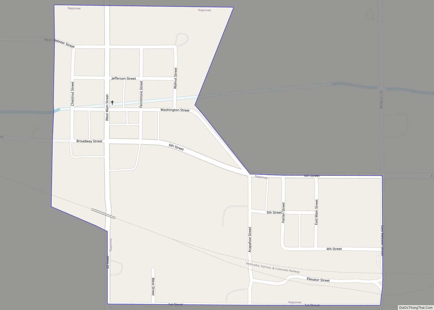
Naponee (Mississauga: naapanne; “flour”) is a village in Franklin County, Nebraska, United States. The population was 106 at the 2010 census. Naponee village overview: Name: Naponee village LSAD Code: 47 LSAD Description: village (suffix) State: Nebraska County: Franklin County Elevation: 1,919 ft (585 m) Total Area: 0.23 sq mi (0.60 km²) Land Area: 0.23 sq mi (0.60 km²) Water Area: 0.00 sq mi (0.00 km²) Total ... Read more
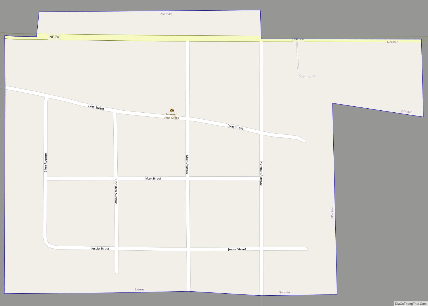
Norman is a village in Kearney County, Nebraska, United States. It is part of the Kearney, Nebraska Micropolitan Statistical Area. The population was 36 at the 2020 census. Norman village overview: Name: Norman village LSAD Code: 47 LSAD Description: village (suffix) State: Nebraska County: Kearney County Elevation: 2,083 ft (635 m) Total Area: 0.09 sq mi (0.24 km²) Land Area: ... Read more
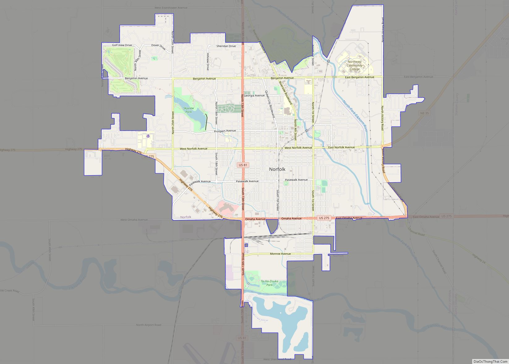
Norfolk (/ˈnɔːrfɔːrk/ or /ˈnɔːrfoʊk/) is a city in Madison County, Nebraska, United States, 113 miles northwest of Omaha and 83 miles west of Sioux City at the intersection of U.S. Routes 81 and 275. The population was 24,210 at the 2010 census, making it the ninth-largest city in Nebraska. It is the principal city of ... Read more

