O’Neill is a city in Holt County, Nebraska, United States. The population was 3,705 at the 2010 census. It is the county seat of Holt County.
| Name: | O’Neill city |
|---|---|
| LSAD Code: | 25 |
| LSAD Description: | city (suffix) |
| State: | Nebraska |
| County: | Holt County |
| Incorporated: | 1882 |
| Elevation: | 1,988 ft (606 m) |
| Total Area: | 2.38 sq mi (6.18 km²) |
| Land Area: | 2.38 sq mi (6.18 km²) |
| Water Area: | 0.00 sq mi (0.00 km²) |
| Total Population: | 3,581 |
| Population Density: | 1,501.47/sq mi (579.61/km²) |
| ZIP code: | 68763 |
| Area code: | 402 |
| FIPS code: | 3137105 |
| GNISfeature ID: | 0831786 |
| Website: | cityofoneillnebraska.com |
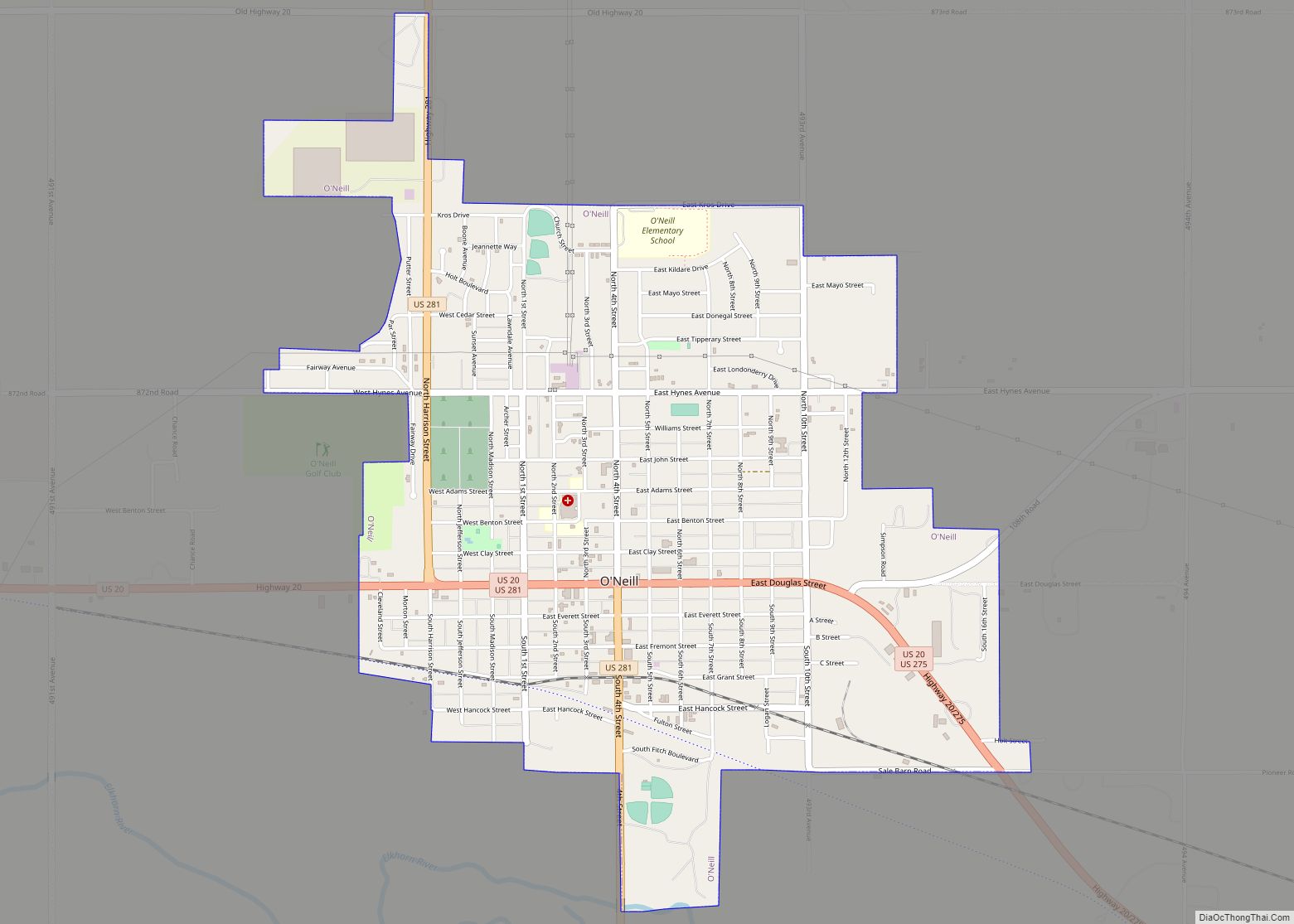
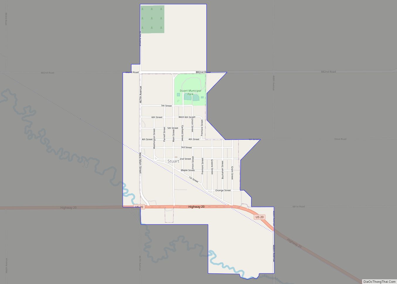
Online Interactive Map
Click on ![]() to view map in "full screen" mode.
to view map in "full screen" mode.
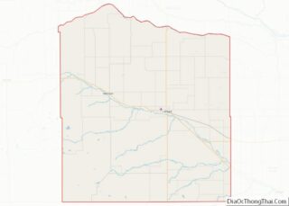
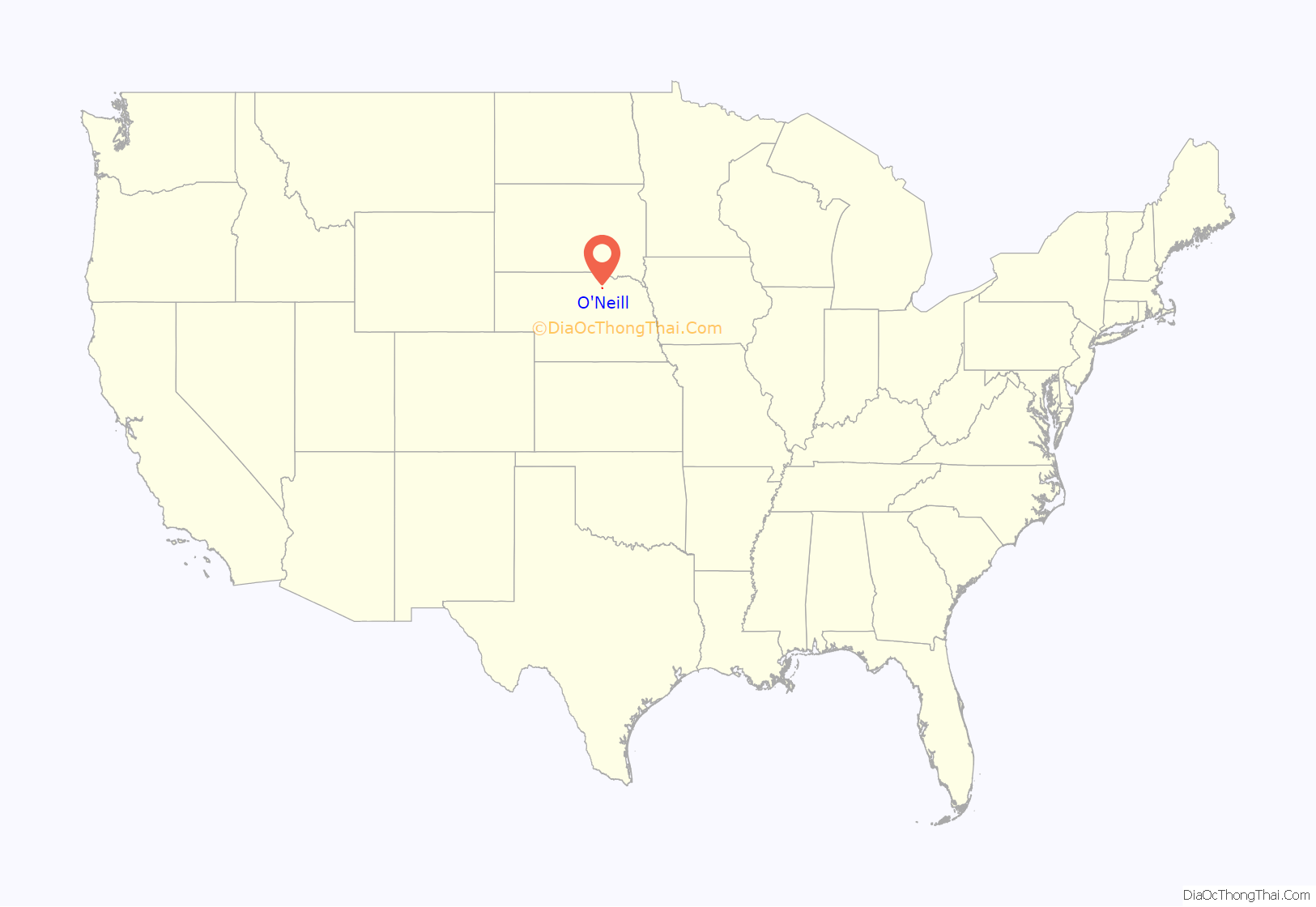
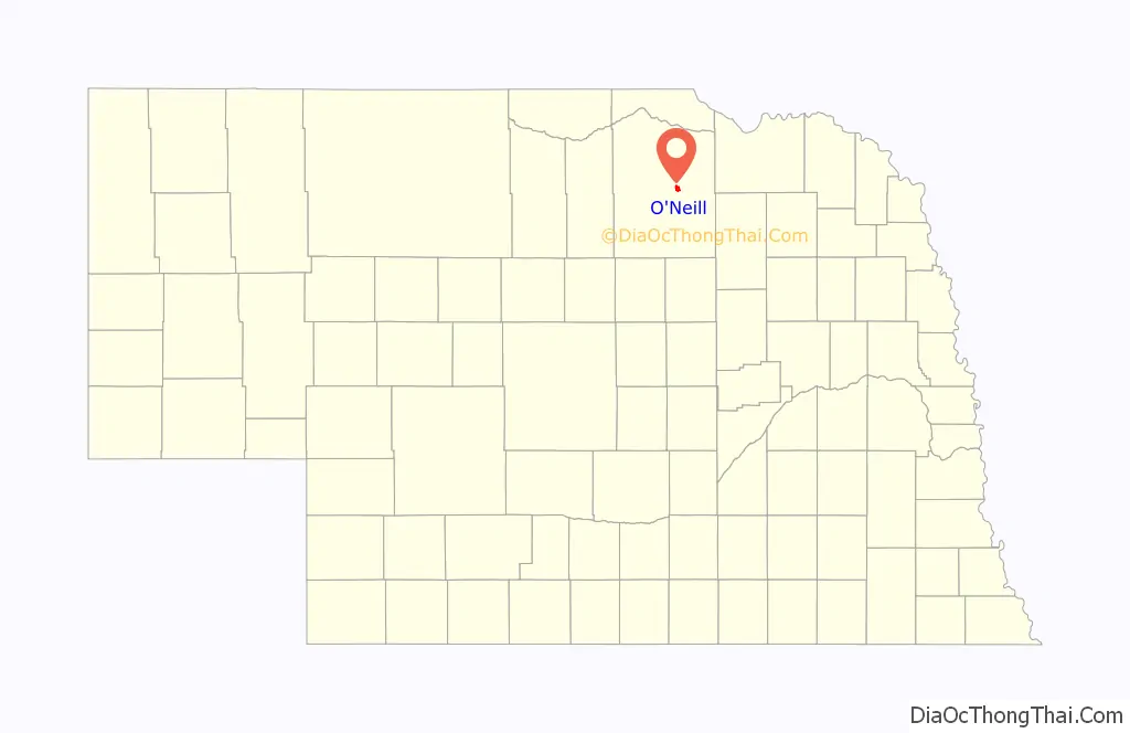
O’Neill location map. Where is O’Neill city?
History
O’Neill was platted in 1874. It was named for one of its founders, John O’Neill. O’Neill was originally settled largely by Irish immigrants.
The town was incorporated in 1882.
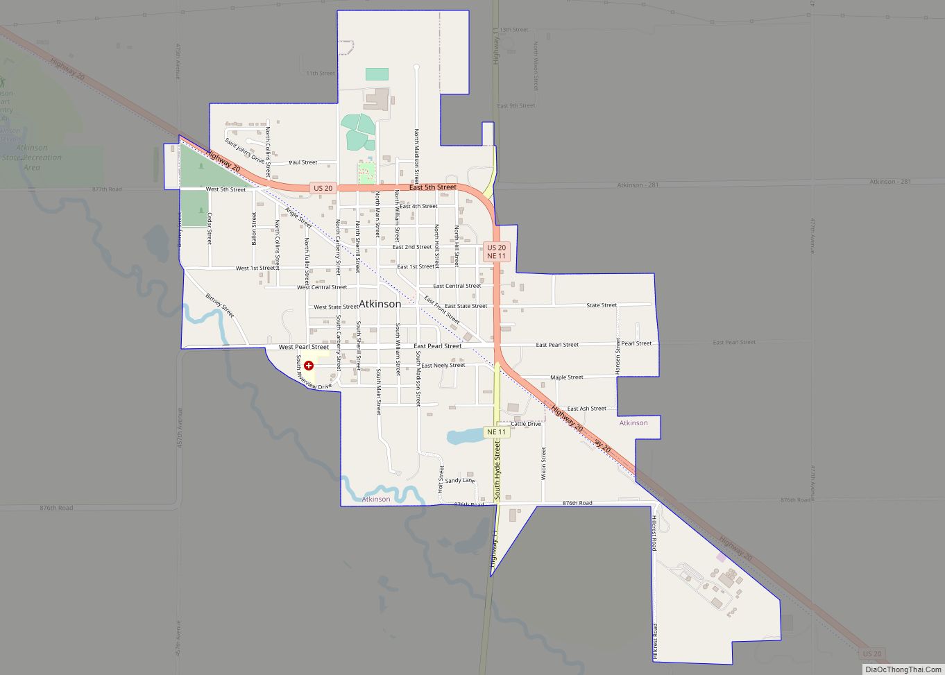
O’Neill Road Map
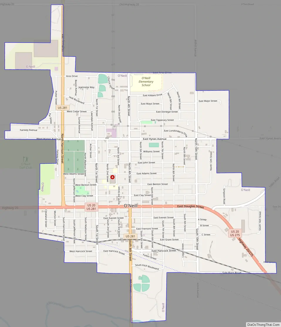
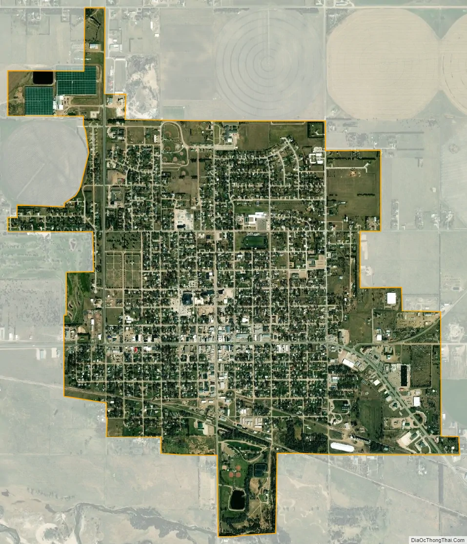
O’Neill city Satellite Map
Geography
O’Neill is located at 42°27′39″N 98°38′49″W / 42.46083°N 98.64694°W / 42.46083; -98.64694 (42.460753, -98.647016). According to the United States Census Bureau, the city has a total area of 2.38 square miles (6.16 km), all land.
O’Neill is the official Irish capital of Nebraska. Cattle, potatoes, tomatoes, soybeans and corn are the major products produced near this town.
Climate
See also
Map of Nebraska State and its subdivision:- Adams
- Antelope
- Arthur
- Banner
- Blaine
- Boone
- Box Butte
- Boyd
- Brown
- Buffalo
- Burt
- Butler
- Cass
- Cedar
- Chase
- Cherry
- Cheyenne
- Clay
- Colfax
- Cuming
- Custer
- Dakota
- Dawes
- Dawson
- Deuel
- Dixon
- Dodge
- Douglas
- Dundy
- Fillmore
- Franklin
- Frontier
- Furnas
- Gage
- Garden
- Garfield
- Gosper
- Grant
- Greeley
- Hall
- Hamilton
- Harlan
- Hayes
- Hitchcock
- Holt
- Hooker
- Howard
- Jefferson
- Johnson
- Kearney
- Keith
- Keya Paha
- Kimball
- Knox
- Lancaster
- Lincoln
- Logan
- Loup
- Madison
- McPherson
- Merrick
- Morrill
- Nance
- Nemaha
- Nuckolls
- Otoe
- Pawnee
- Perkins
- Phelps
- Pierce
- Platte
- Polk
- Red Willow
- Richardson
- Rock
- Saline
- Sarpy
- Saunders
- Scotts Bluff
- Seward
- Sheridan
- Sherman
- Sioux
- Stanton
- Thayer
- Thomas
- Thurston
- Valley
- Washington
- Wayne
- Webster
- Wheeler
- York
- Alabama
- Alaska
- Arizona
- Arkansas
- California
- Colorado
- Connecticut
- Delaware
- District of Columbia
- Florida
- Georgia
- Hawaii
- Idaho
- Illinois
- Indiana
- Iowa
- Kansas
- Kentucky
- Louisiana
- Maine
- Maryland
- Massachusetts
- Michigan
- Minnesota
- Mississippi
- Missouri
- Montana
- Nebraska
- Nevada
- New Hampshire
- New Jersey
- New Mexico
- New York
- North Carolina
- North Dakota
- Ohio
- Oklahoma
- Oregon
- Pennsylvania
- Rhode Island
- South Carolina
- South Dakota
- Tennessee
- Texas
- Utah
- Vermont
- Virginia
- Washington
- West Virginia
- Wisconsin
- Wyoming