Nebraska City is a city in Nebraska and the county seat of Otoe County, Nebraska, United States. As of the 2020 census, the city population was 7,222.
The Nebraska State Legislature has credited Nebraska City as being the oldest incorporated city in the state, as it was the first approved by a special act of the Nebraska Territorial Legislature in 1855.
Nebraska City is home of Arbor Day, the Missouri River Basin Lewis and Clark Center (which focuses on the natural history achievements of the expedition), and the Mayhew Cabin, the only site in the state recognized by the National Park Service as a station on the Underground Railroad.
| Name: | Nebraska City city |
|---|---|
| LSAD Code: | 25 |
| LSAD Description: | city (suffix) |
| State: | Nebraska |
| County: | Otoe County |
| Elevation: | 1,043 ft (318 m) |
| Total Area: | 4.97 sq mi (12.88 km²) |
| Land Area: | 4.97 sq mi (12.88 km²) |
| Water Area: | 0.00 sq mi (0.00 km²) |
| Total Population: | 7,222 |
| Population Density: | 1,452.24/sq mi (560.73/km²) |
| ZIP code: | 68410 |
| Area code: | 402 |
| FIPS code: | 3133705 |
| GNISfeature ID: | 2395162 |
| Website: | nebraskacityne.gov |
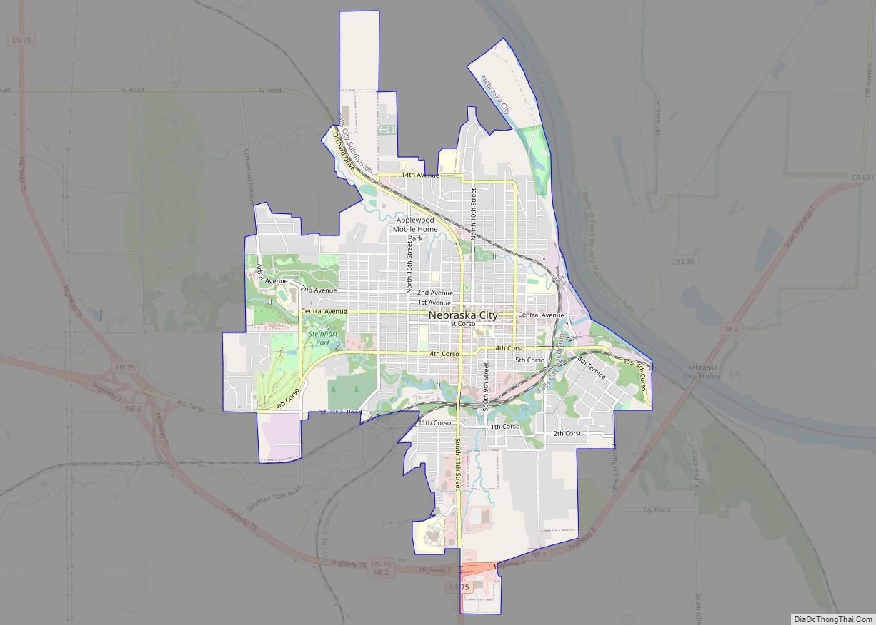
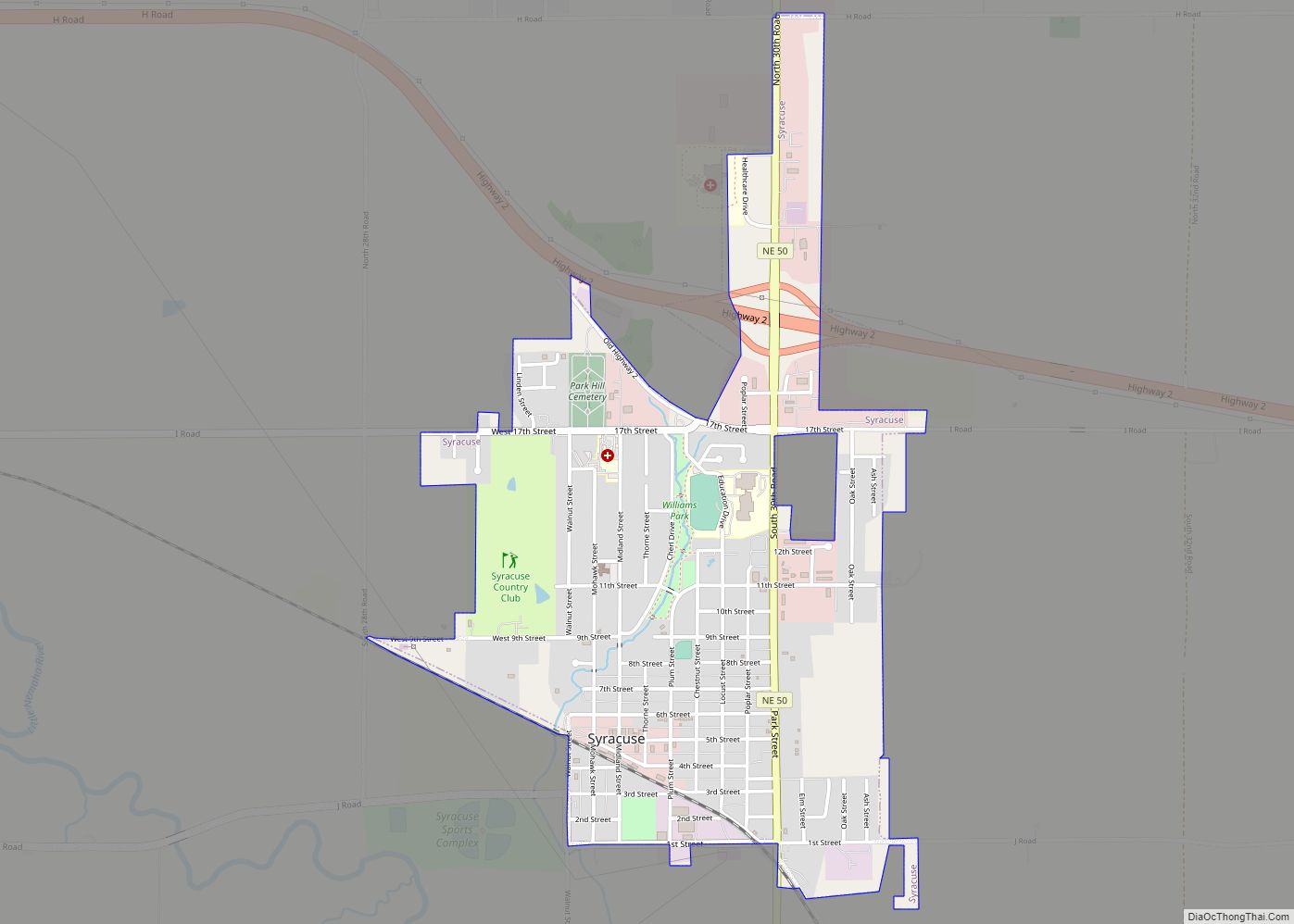
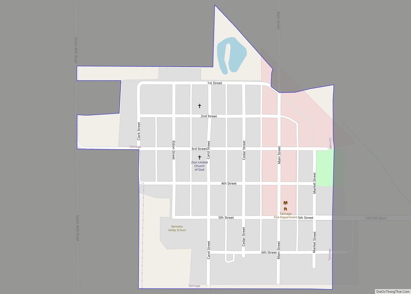
Online Interactive Map
Click on ![]() to view map in "full screen" mode.
to view map in "full screen" mode.
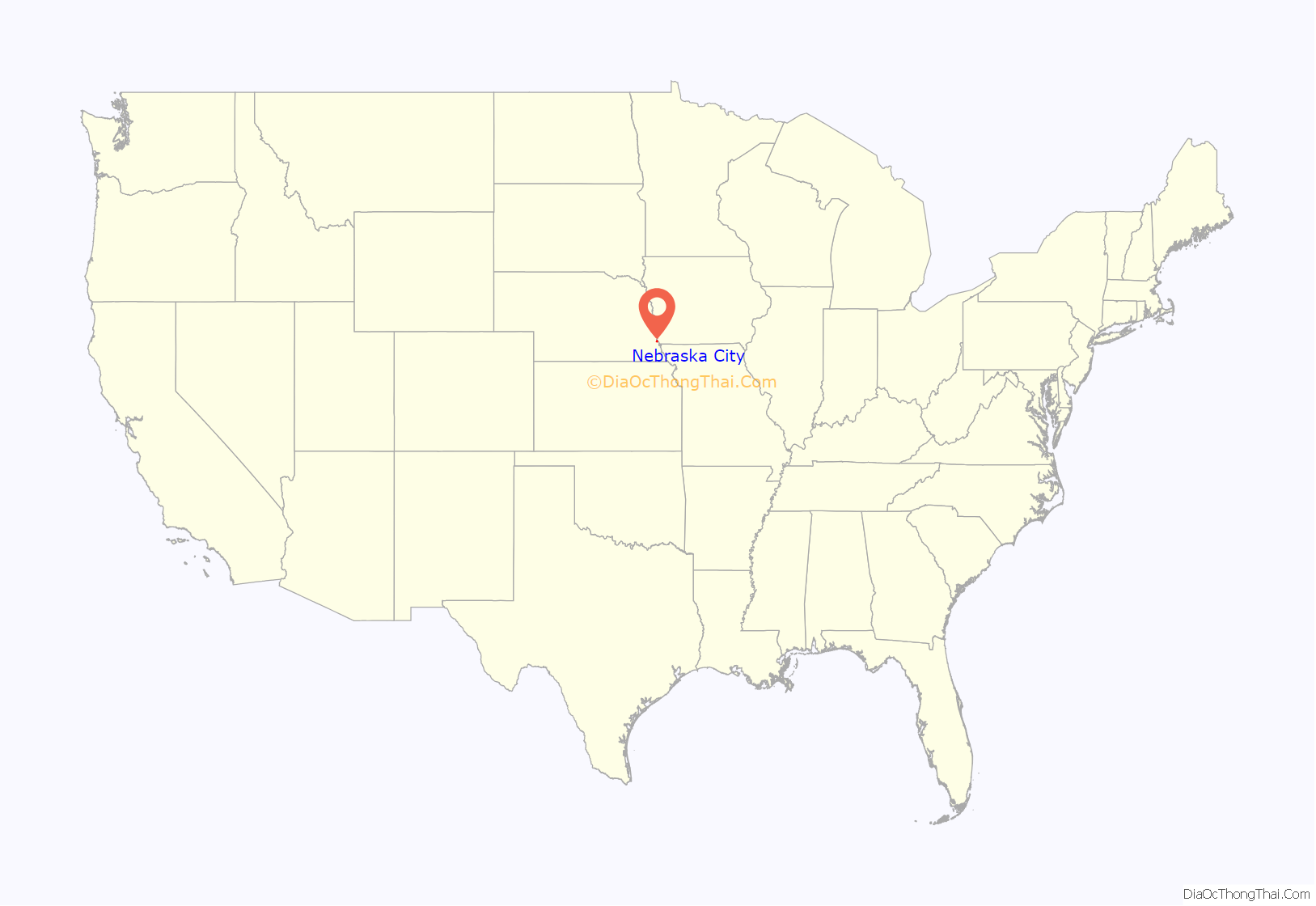
Nebraska City location map. Where is Nebraska City city?

History
Early European-American official exploration was reported in 1804 by Lewis and Clark as they journeyed west along the Missouri River. They encountered many of the historic Native American tribes whose ancestors had inhabited the territory for thousands of years.
During the years of early pioneer settlement, in 1846 the US Army built Old Fort Kearny at Nebraska City. Several years later, the army abandoned it to relocate the fort to central Nebraska, now south of present-day Kearney.
Shortly after the post was vacated, John Boulware developed an important river-crossing and ferry service from Iowa to present-day Nebraska City. He and his father expanded their business and in 1852 or 1853 built a ferry house, the first residence in Nebraska City.
In 1854 the Kansas–Nebraska Act allowed legal settlement in the regional area. Three townships were incorporated by settlers including Stephen Nuckolls, one of the fathers of Nebraska City. Nebraska City and Kearney City were incorporated in 1855, and South Nebraska City was incorporated in 1856. During those years, Nebraska City competed fiercely to become the Nebraska Territory capital. On December 31, 1857, these three town sites along with Prairie City joined, incorporating as present-day Nebraska City. Before the American Civil War, Nebraska City was noted as having the Territory’s largest population of slaves. Many worked on the riverfront as laborers, involved with moving freight and luggage associated with steamboat traffic.
By the mid-19th century, steamboats on the Missouri River were the vitalizing force behind Nebraska City’s growth, bringing commerce, people and freight to the west. In the spring of 1858 Russell, Majors and Waddell started freighting from Nebraska City on a government contract to transport all provisions for all western forts. The supplies were brought up the Missouri River by steamboat and then taken out by wagon train. Nebraska City’s favorable position (with a gradual slope from the river to the table land above) and good trail made it an important link to the west.
Since that beginning, the city became established as a regional transportation, economic, and agriculture hub for the three state area. Additional forms of transportation were important, including the steam wagon and the first locomotive engine of the Midland Pacific.
J. Sterling Morton came to Nebraska City in 1855 to edit the Nebraska City News. Originally from Michigan, he and his wife Caroline were lovers of nature. Morton served as Secretary of Agriculture under President Grover Cleveland’s administration and in 1872 he was instrumental in establishing the annual tree planting day, Arbor Day. Governor Robert Furnas of Nebraska issued the first Arbor Day Proclamation on March 31, 1874. The holiday is celebrated around the world.
Nebraska City has its own hospital, St Marys Hospital. As the county seat, it has the courthouse and associated county offices.
Nebraska City Road Map

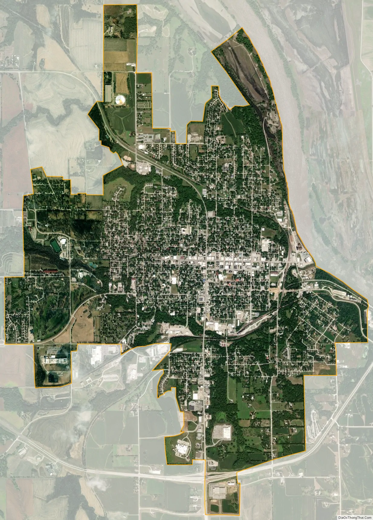
Nebraska City city Satellite Map
Geography
Nebraska City is located on the western bank of the Missouri River. According to the United States Census Bureau, the city has a total area of 4.69 square miles (12.15 km), all land.
Climate
See also
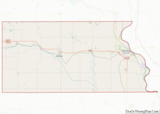
Map of Nebraska State and its subdivision:- Adams
- Antelope
- Arthur
- Banner
- Blaine
- Boone
- Box Butte
- Boyd
- Brown
- Buffalo
- Burt
- Butler
- Cass
- Cedar
- Chase
- Cherry
- Cheyenne
- Clay
- Colfax
- Cuming
- Custer
- Dakota
- Dawes
- Dawson
- Deuel
- Dixon
- Dodge
- Douglas
- Dundy
- Fillmore
- Franklin
- Frontier
- Furnas
- Gage
- Garden
- Garfield
- Gosper
- Grant
- Greeley
- Hall
- Hamilton
- Harlan
- Hayes
- Hitchcock
- Holt
- Hooker
- Howard
- Jefferson
- Johnson
- Kearney
- Keith
- Keya Paha
- Kimball
- Knox
- Lancaster
- Lincoln
- Logan
- Loup
- Madison
- McPherson
- Merrick
- Morrill
- Nance
- Nemaha
- Nuckolls
- Otoe
- Pawnee
- Perkins
- Phelps
- Pierce
- Platte
- Polk
- Red Willow
- Richardson
- Rock
- Saline
- Sarpy
- Saunders
- Scotts Bluff
- Seward
- Sheridan
- Sherman
- Sioux
- Stanton
- Thayer
- Thomas
- Thurston
- Valley
- Washington
- Wayne
- Webster
- Wheeler
- York
- Alabama
- Alaska
- Arizona
- Arkansas
- California
- Colorado
- Connecticut
- Delaware
- District of Columbia
- Florida
- Georgia
- Hawaii
- Idaho
- Illinois
- Indiana
- Iowa
- Kansas
- Kentucky
- Louisiana
- Maine
- Maryland
- Massachusetts
- Michigan
- Minnesota
- Mississippi
- Missouri
- Montana
- Nebraska
- Nevada
- New Hampshire
- New Jersey
- New Mexico
- New York
- North Carolina
- North Dakota
- Ohio
- Oklahoma
- Oregon
- Pennsylvania
- Rhode Island
- South Carolina
- South Dakota
- Tennessee
- Texas
- Utah
- Vermont
- Virginia
- Washington
- West Virginia
- Wisconsin
- Wyoming