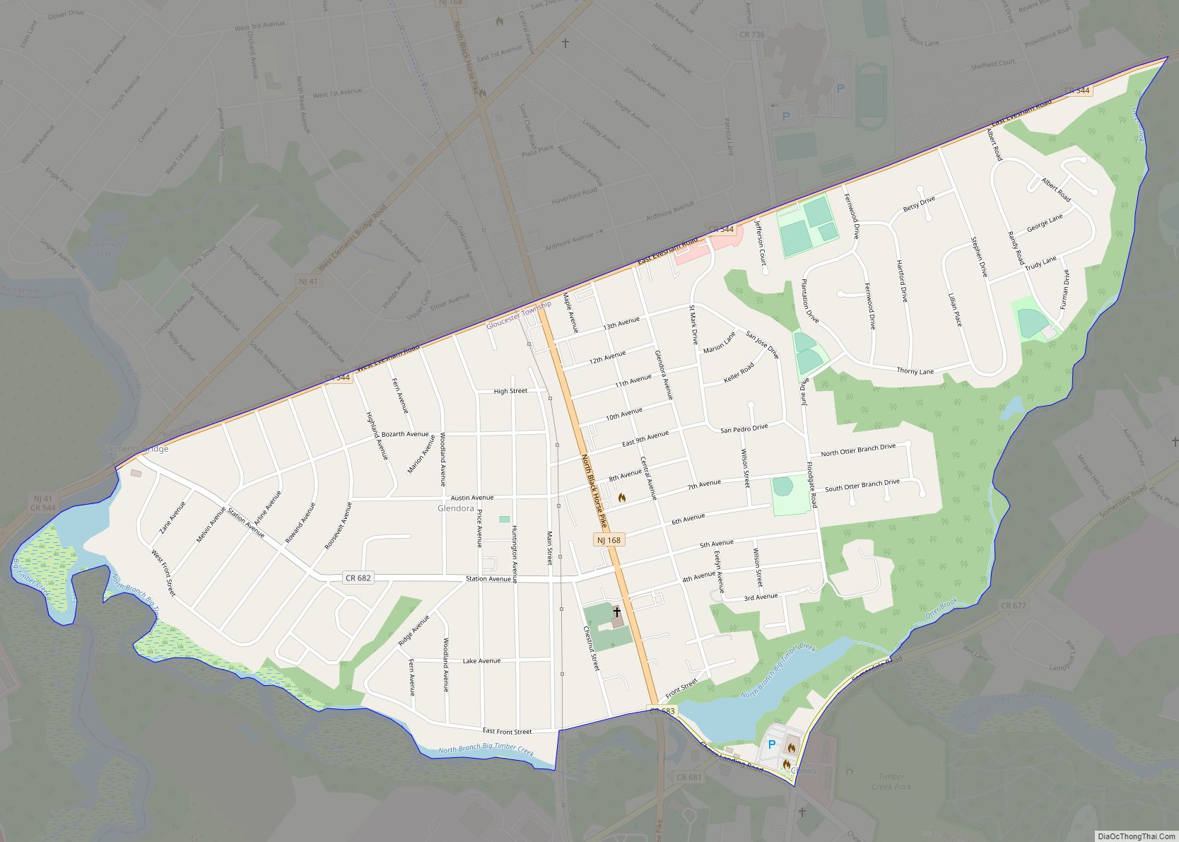
Glendora is an unincorporated community and census-designated place (CDP) located within Gloucester Township, in Camden County, New Jersey, United States. As of the 2010 United States Census, the CDP’s population was 4,750. Glendora CDP overview: Name: Glendora CDP LSAD Code: 57 LSAD Description: CDP (suffix) State: New Jersey County: Camden County Elevation: 79 ft (24 m) Total ... Read more
New Jersey Cities and Places
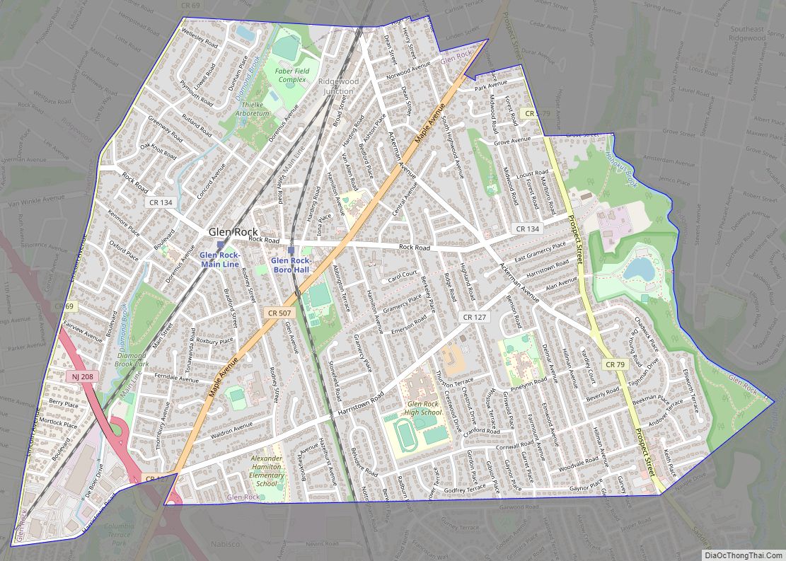
Glen Rock is a borough in Bergen County, in the U.S. state of New Jersey. As of the 2020 United States census, the borough’s population was 12,133, an increase of 532 (+4.6%) from the 2010 census count of 11,601, which in turn reflected increased by 55 (+0.5%) from the 11,546 counted in the 2000 census. ... Read more
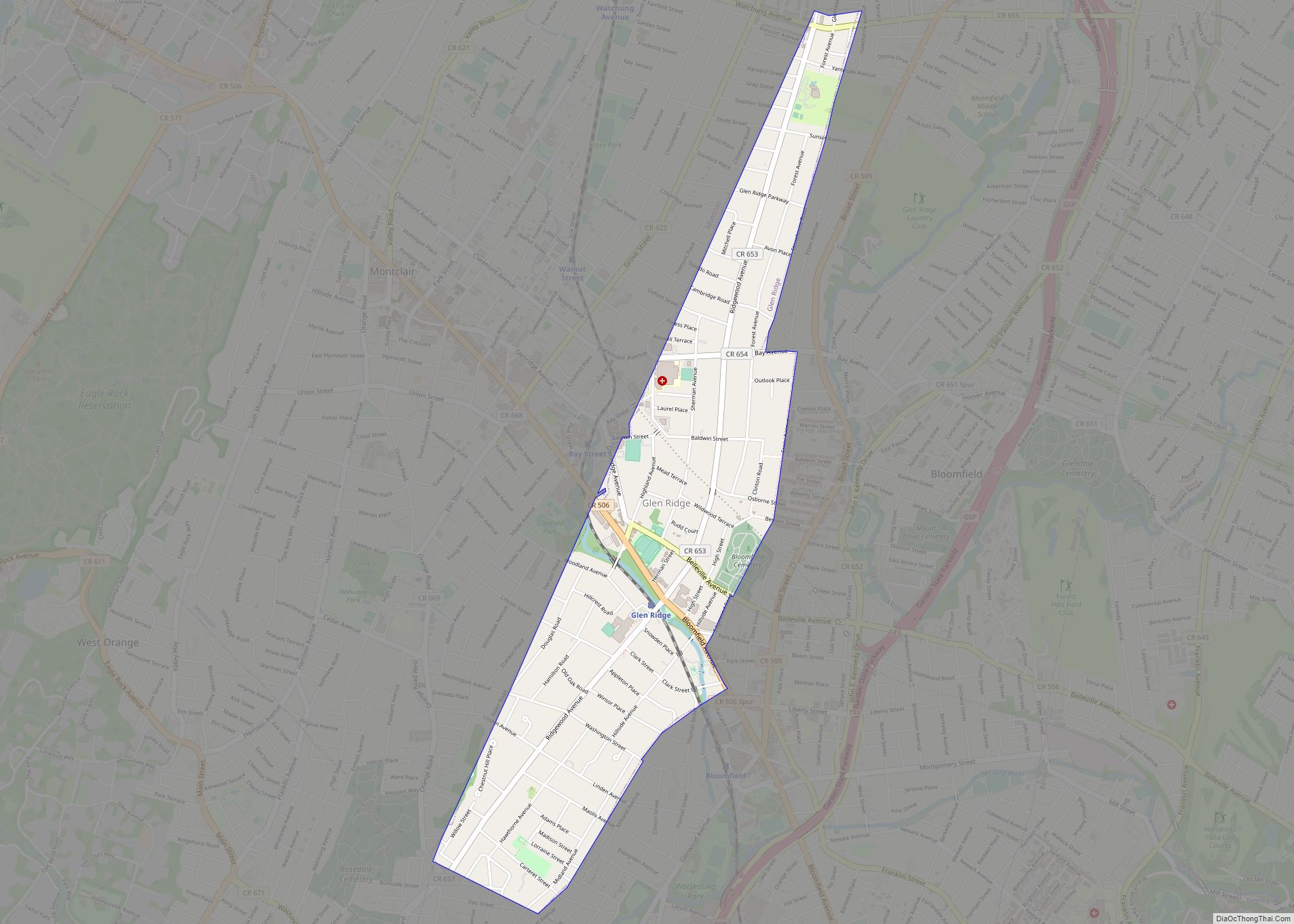
Glen Ridge is a borough in Essex County, in the U.S. state of New Jersey. As of the 2020 United States census, the borough’s population was 7,802, an increase of 275 (+3.7%) from the 2010 census count of 7,527, which in turn reflected an increase of 256 (+3.5%) from the 7,271 counted in the 2000 ... Read more
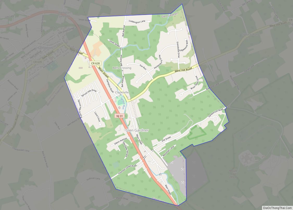
Glen Gardner is a borough in Hunterdon County, in the U.S. state of New Jersey. As of the 2020 United States census, the borough’s population was 1,682, a decrease of 22 (−1.3%) from the 2010 census count of 1,704, which in turn reflected a decline of 198 (−10.4%) from the 1,902 counted in the 2000 ... Read more
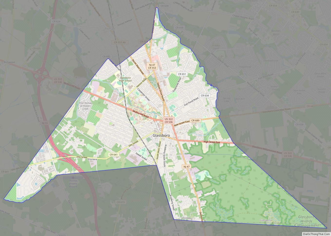
Glassboro is a borough in Gloucester County, in the U.S. state of New Jersey. As of the 2020 United States census, the borough’s population was 23,149, an increase of 4,570 (+24.6%) from the 2010 census count of 18,579, which in turn reflected a decline of 489 (−2.6%) from the 19,068 counted in the 2000 census. ... Read more
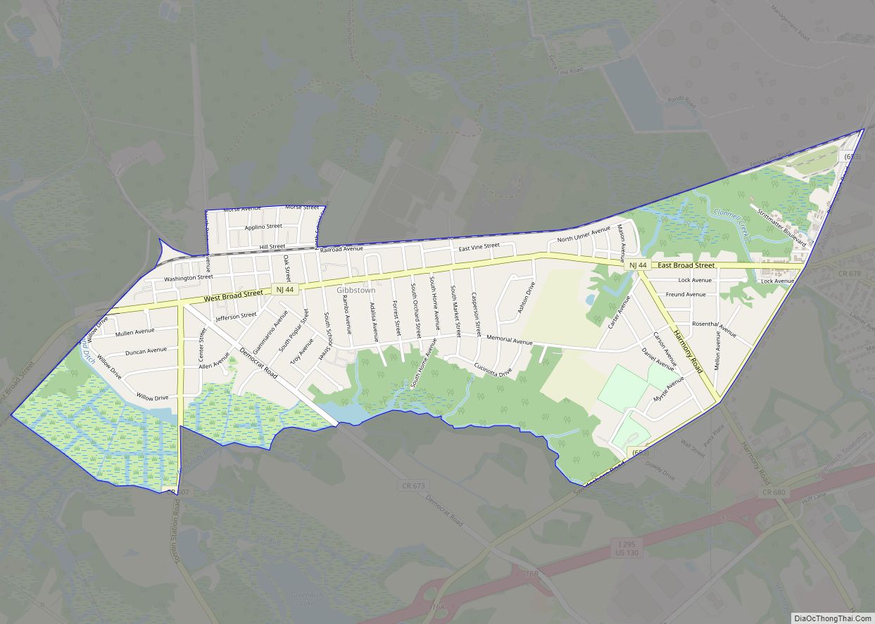
Gibbstown is an unincorporated community and census-designated place (CDP) located within Greenwich Township, in Gloucester County, New Jersey. As of the 2010 U.S. census, the CDP’s population was 3,739. Gibbstown is the location of C. A. Nothnagle Log House, purportedly the oldest house in New Jersey and the oldest surviving log house in the U.S., ... Read more
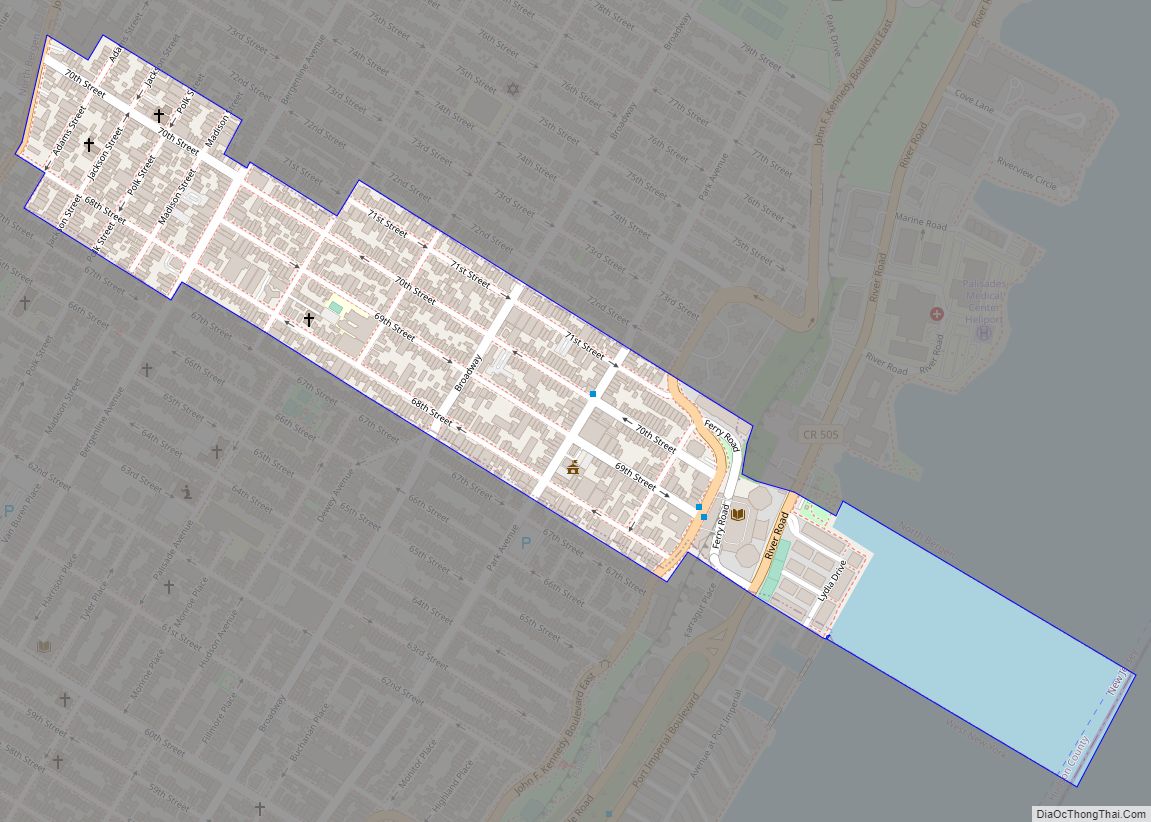
Guttenberg (/ˈɡʌtənbɜːrɡ/ GUT-ən-burg) is a town in the northern part of Hudson County, in the U.S. state of New Jersey. In the 2010 Census, it was the most densely populated incorporated municipality in the United States, as well as one of the most densely populated municipalities worldwide, with 57,116 people per square mile (22,052/km) of ... Read more
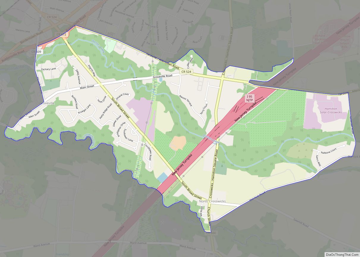
Groveville is an unincorporated community and census-designated place (CDP) located within Hamilton Township, in Mercer County, New Jersey, United States. As of the 2010 United States Census, the CDP’s population was 2,945. Before the 2010 Census, the area was part of the Yardville-Groville CDP. Groveville CDP overview: Name: Groveville CDP LSAD Code: 57 LSAD Description: ... Read more
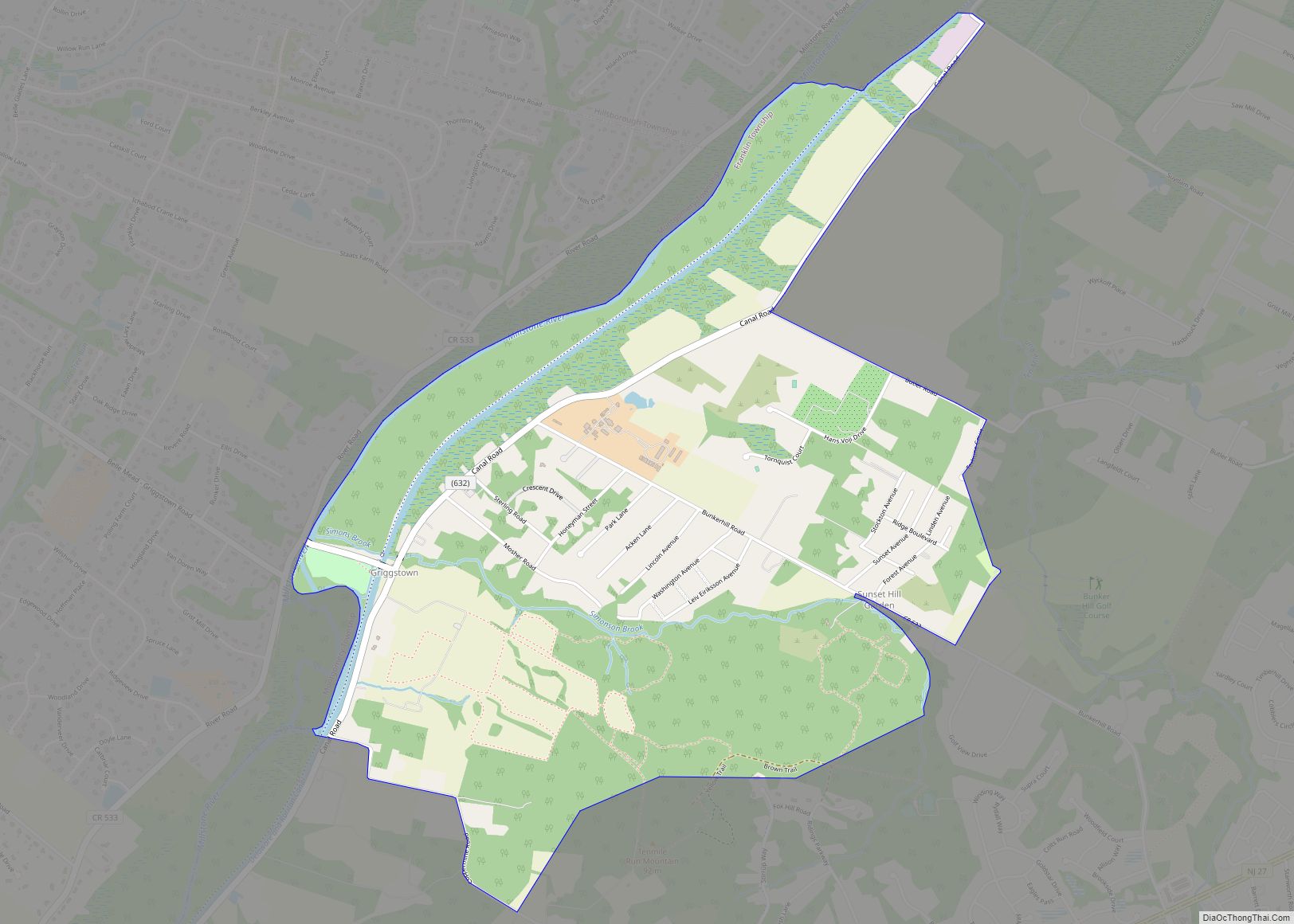
Griggstown is an unincorporated community and census-designated place (CDP) located within Franklin Township, in Somerset County, New Jersey, United States. As of the 2010 United States Census, the CDP’s population was 819. The area was first settled around 1733. Griggstown CDP overview: Name: Griggstown CDP LSAD Code: 57 LSAD Description: CDP (suffix) State: New Jersey ... Read more
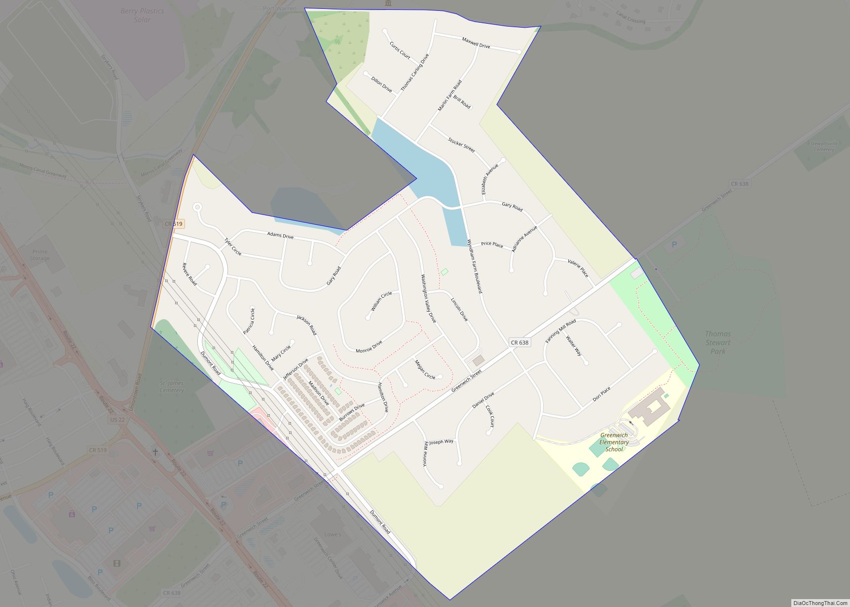
Greenwich is an unincorporated community and census-designated place (CDP) located within Greenwich Township in Warren County, New Jersey, United States, that was defined as part of the 2010 United States Census. As of the 2010 Census, the CDP’s population was 2,755. Greenwich CDP overview: Name: Greenwich CDP LSAD Code: 57 LSAD Description: CDP (suffix) State: ... Read more
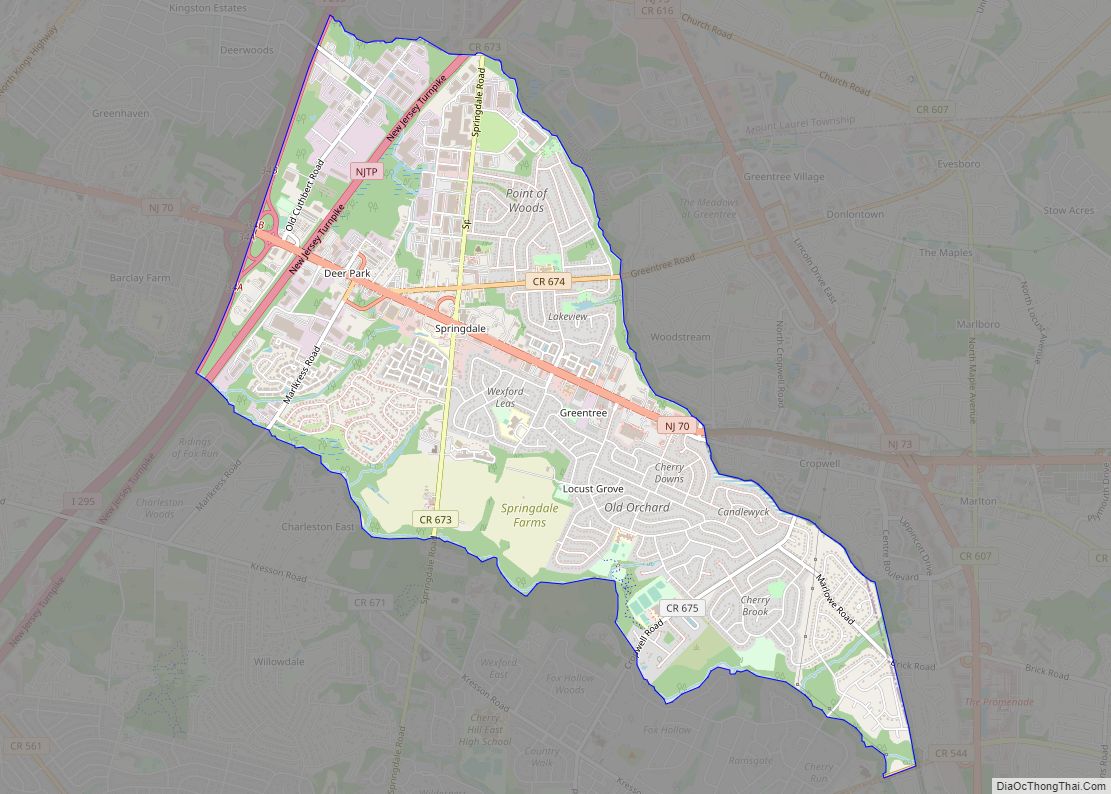
Greentree is an unincorporated community and census-designated place (CDP) located within Cherry Hill Township, in Camden County, New Jersey, United States. As of the 2010 United States Census, the CDP’s population was 11,367. Greentree CDP overview: Name: Greentree CDP LSAD Code: 57 LSAD Description: CDP (suffix) State: New Jersey County: Camden County Elevation: 89 ft (27 m) ... Read more
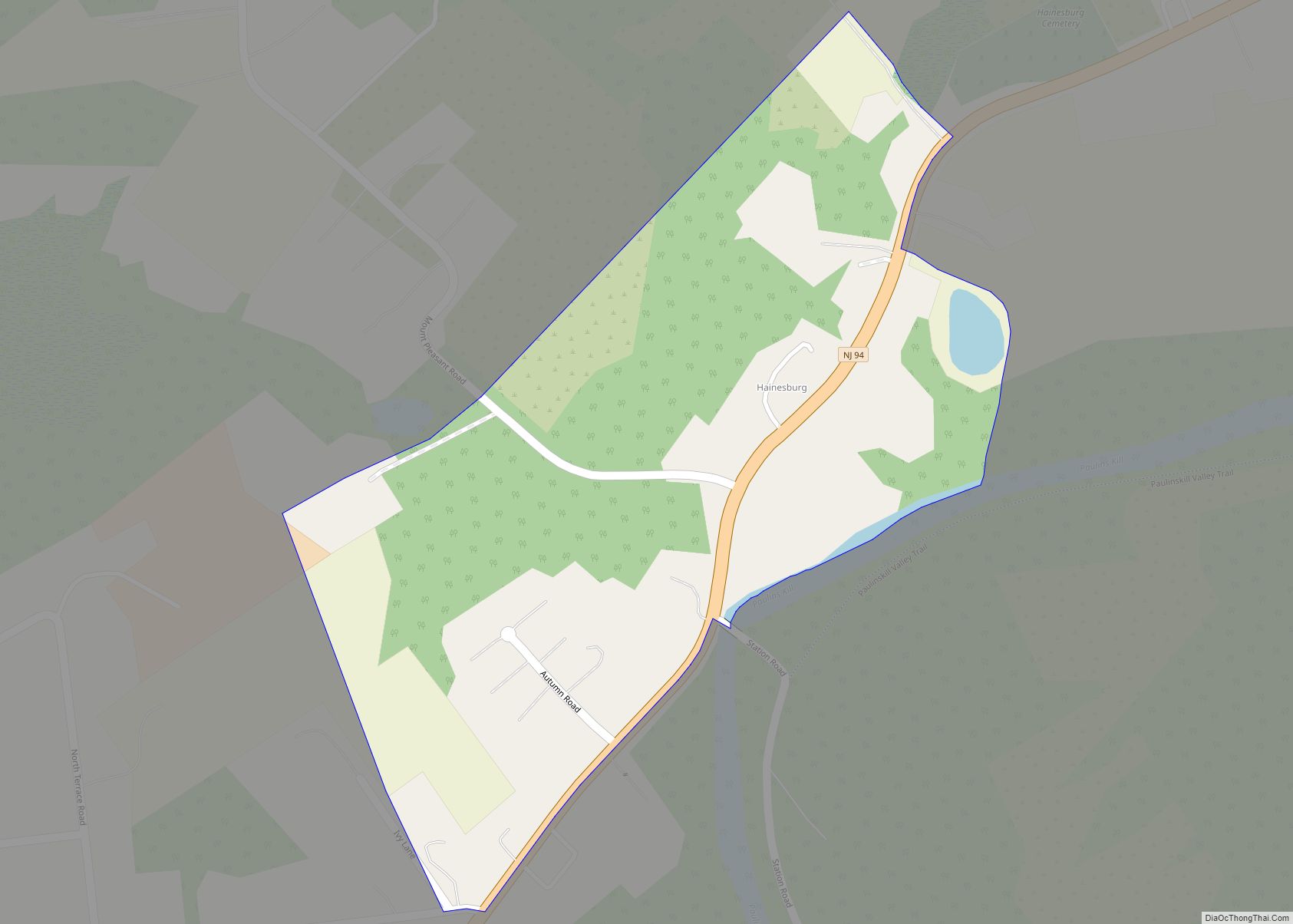
Hainesburg is an unincorporated community and census-designated place (CDP) located within Knowlton Township in Warren County, New Jersey, United States. While the community has existed for over a century, the CDP was designated as part of the 2010 United States Census. As of the 2010 Census, the CDP’s population was 91. Hainesburg CDP overview: Name: ... Read more
