Guttenberg (/ˈɡʌtənbɜːrɡ/ GUT-ən-burg) is a town in the northern part of Hudson County, in the U.S. state of New Jersey. In the 2010 Census, it was the most densely populated incorporated municipality in the United States, as well as one of the most densely populated municipalities worldwide, with 57,116 people per square mile (22,052/km) of land area. Only four blocks wide, Guttenberg has been variously ranked as the ninth-smallest municipality in the state (based on data from the U.S. Census Bureau) or as the state’s seventh-smallest municipality (based on data from the New Jersey Department of Environmental Protection).
As of the 2020 United States census, the town’s population was 12,017, an increase of 841 (+7.5%) from the 2010 census count of 11,176, which in turn reflected an increase of 369 (+3.4%) from the 10,807 counted in the 2000 Census. As of the 2010 Census, almost one-fifth of the town’s population resided in the Galaxy Towers, a trio of residential skyscrapers overlooking the Hudson River.
The current population growth and density in Guttenberg represents a significant change since 1983, when it was described by The New York Times, as “an old community of two-story row houses, small stores and light industry.”
| Name: | Guttenberg town |
|---|---|
| LSAD Code: | 43 |
| LSAD Description: | town (suffix) |
| State: | New Jersey |
| County: | Hudson County |
| Incorporated: | March 9, 1859 |
| Elevation: | 194 ft (59 m) |
| Total Area: | 0.24 sq mi (0.62 km²) |
| Land Area: | 0.19 sq mi (0.50 km²) |
| Water Area: | 0.05 sq mi (0.12 km²) 20.00% |
| Total Population: | 12,017 |
| Population Density: | 62,264.2/sq mi (24,040.3/km²) |
| ZIP code: | 07093 |
| Area code: | 201 |
| FIPS code: | 3428650 |
| GNISfeature ID: | 0885235 |
| Website: | www.guttenbergnj.org |
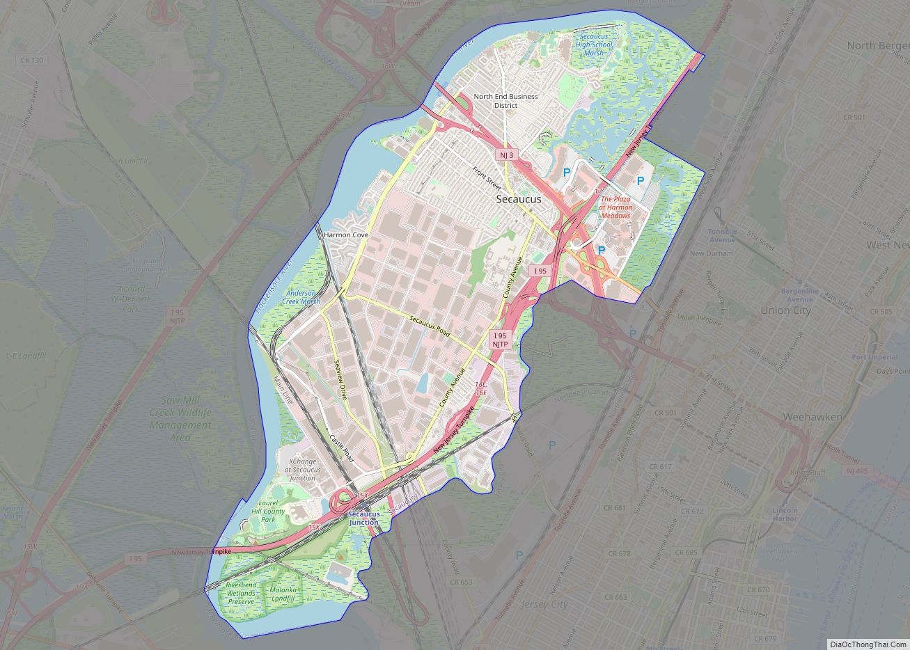
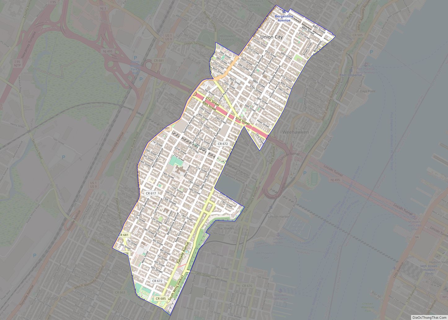
Online Interactive Map
Click on ![]() to view map in "full screen" mode.
to view map in "full screen" mode.
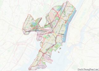
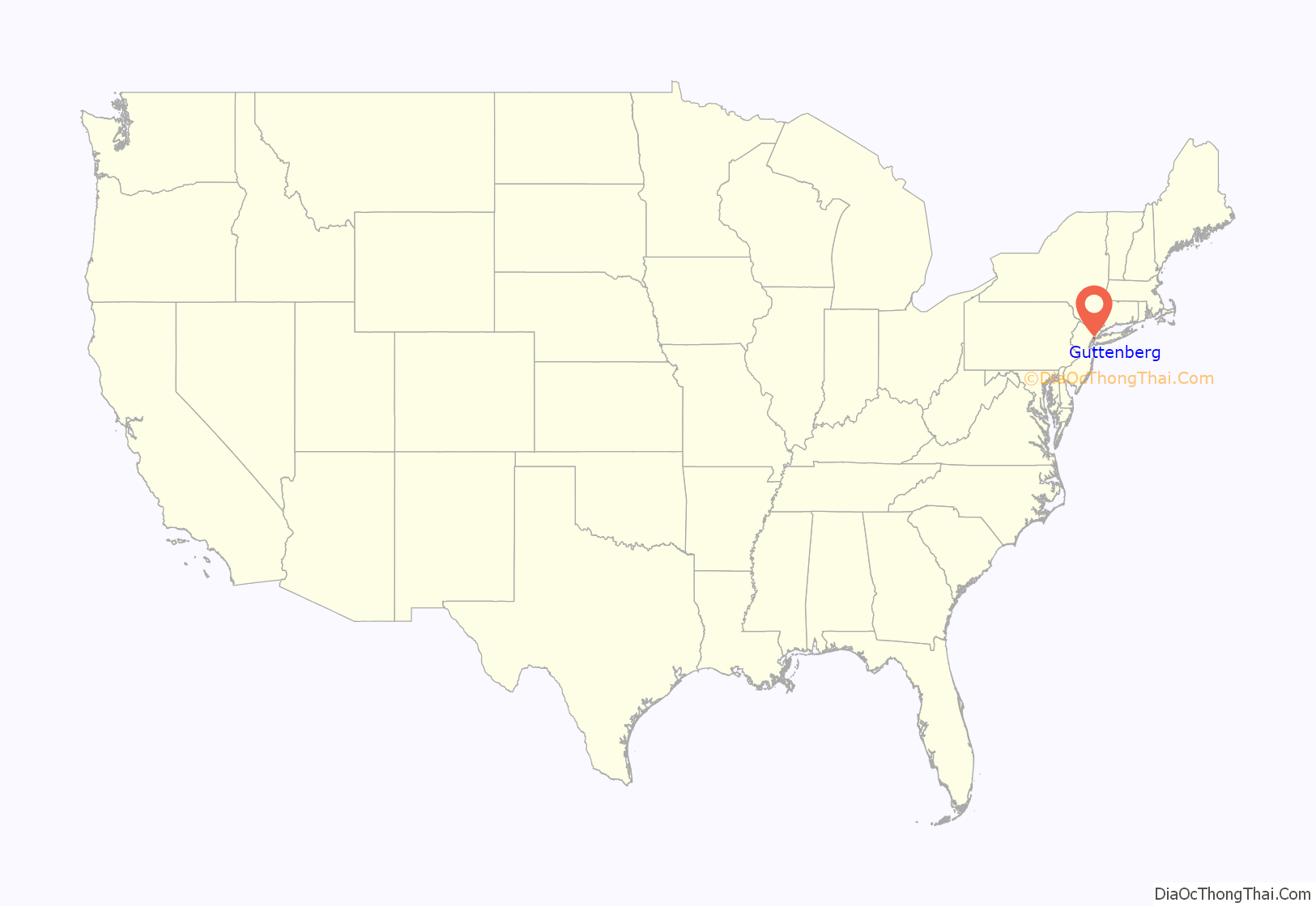
Guttenberg location map. Where is Guttenberg town?
History
Guttenberg was formerly a farm owned by William Cooper, sold in 1853 to a group of New Yorkers, who had formed the Weehawken Land and Ferry Association. Like nearby Union Hill, it was subdivided and lots were sold mostly to Germans. The company ran two ferries, the Hultz and the Flora, which crossed the Hudson from the landings at the foot of Bulls Ferry Road, Pleasant Valley, Fort Lee, and Spring Street in Manhattan.
Guttenberg was formed as a town on March 9, 1859, from portions of North Bergen Township, but remained as a part of the township that was not fully independent. Guttenberg became part of Union Township when it was formed on February 28, 1861, and became fully independent as of April 1, 1878. The municipality takes its name from Johannes Gutenberg, the inventor of the European version of the printing press, though other sources indicate that the name derives from “good village” in German.
Galaxy Towers, developed by Prudential Insurance Company, were built in the late 1970s on Boulevard East. The three octagonal skyscrapers rise 415 feet (126 m) and contain 1,075 apartments.
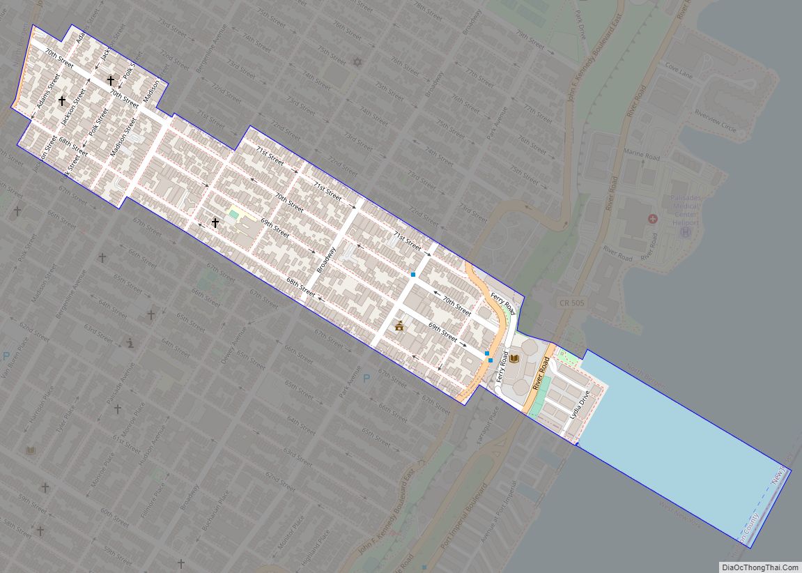
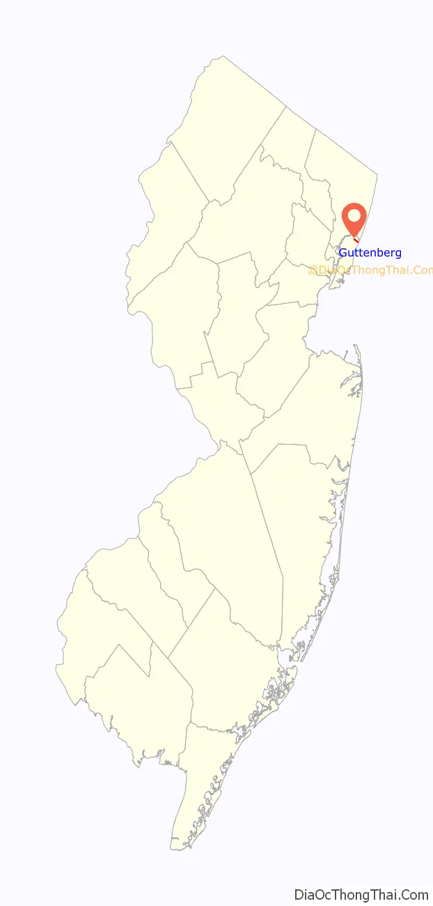
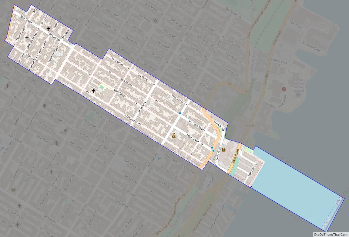
Guttenberg Road Map
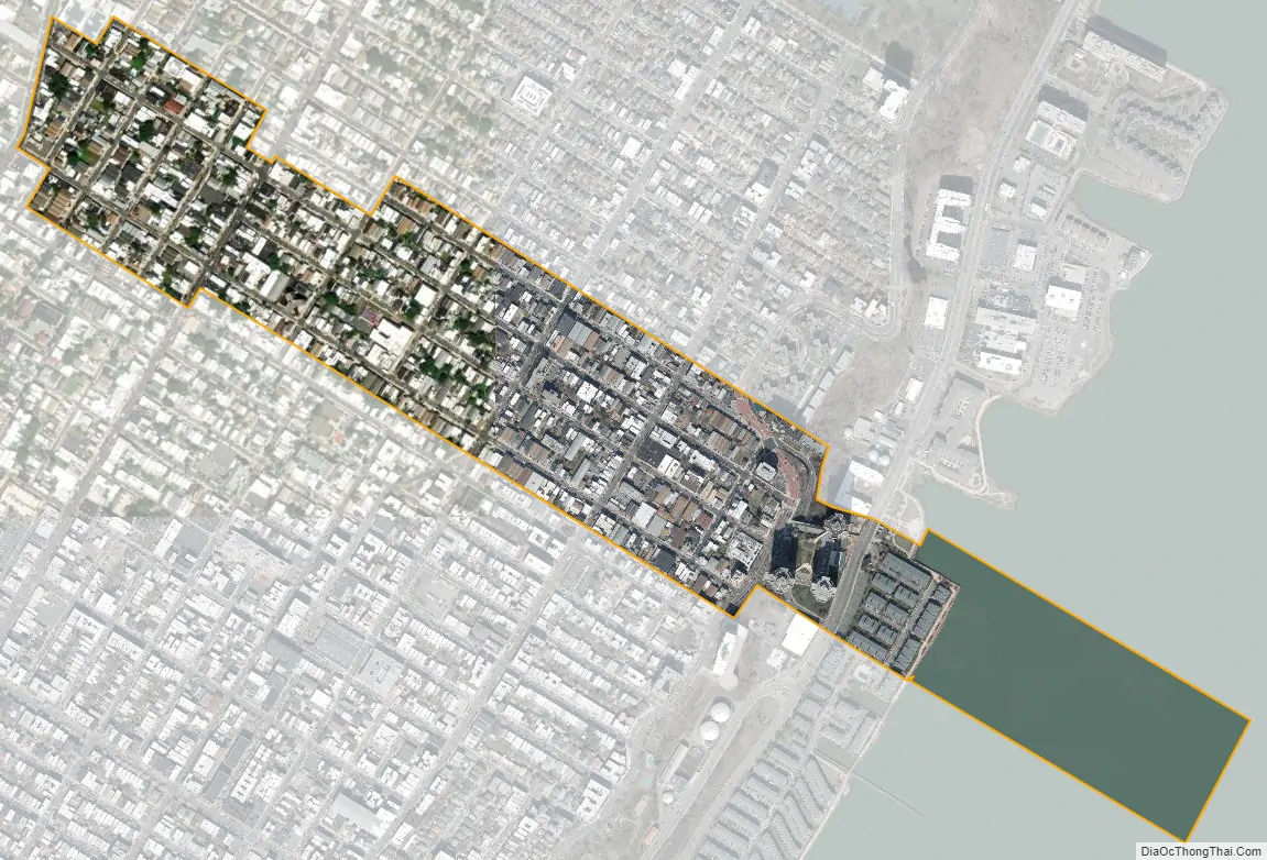
Guttenberg city Satellite Map
Geography
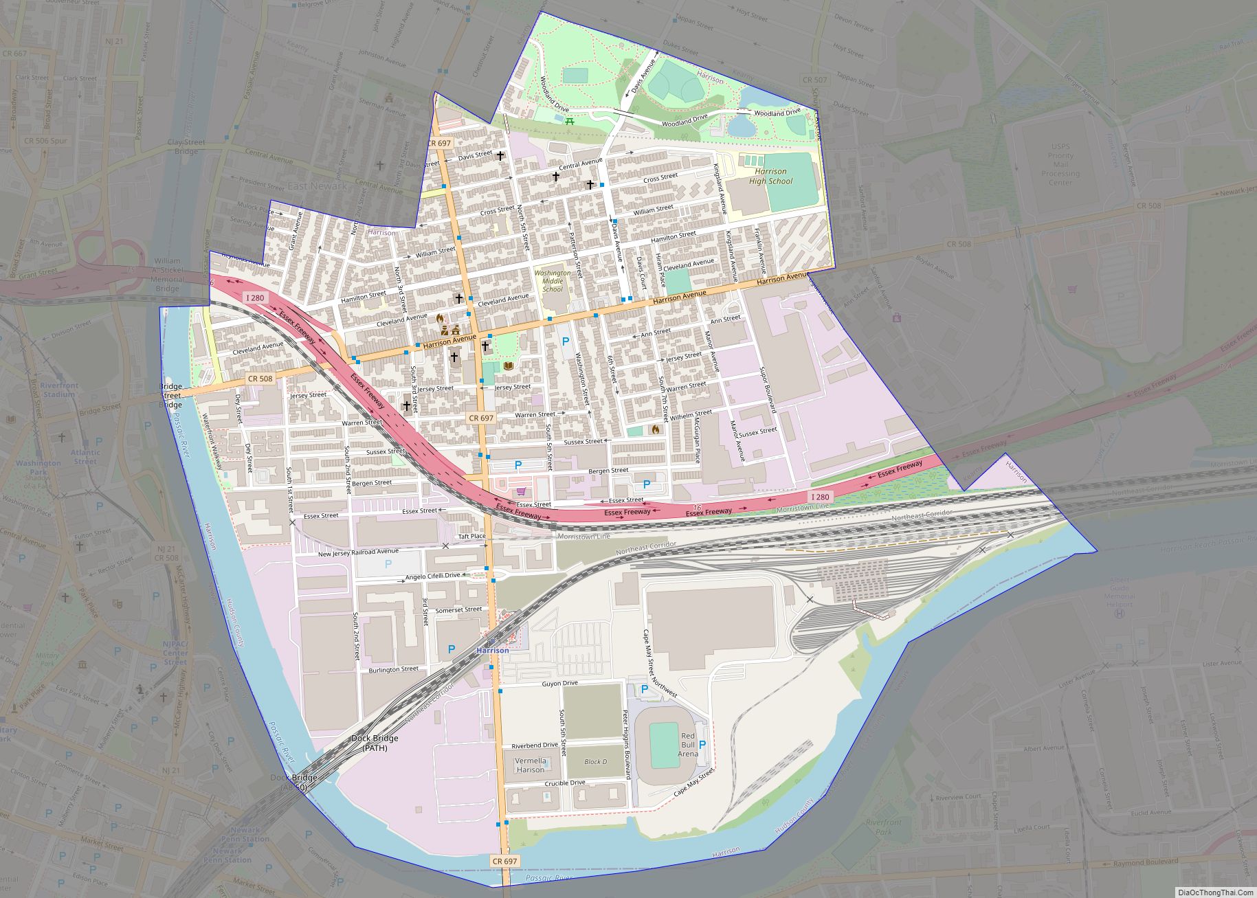
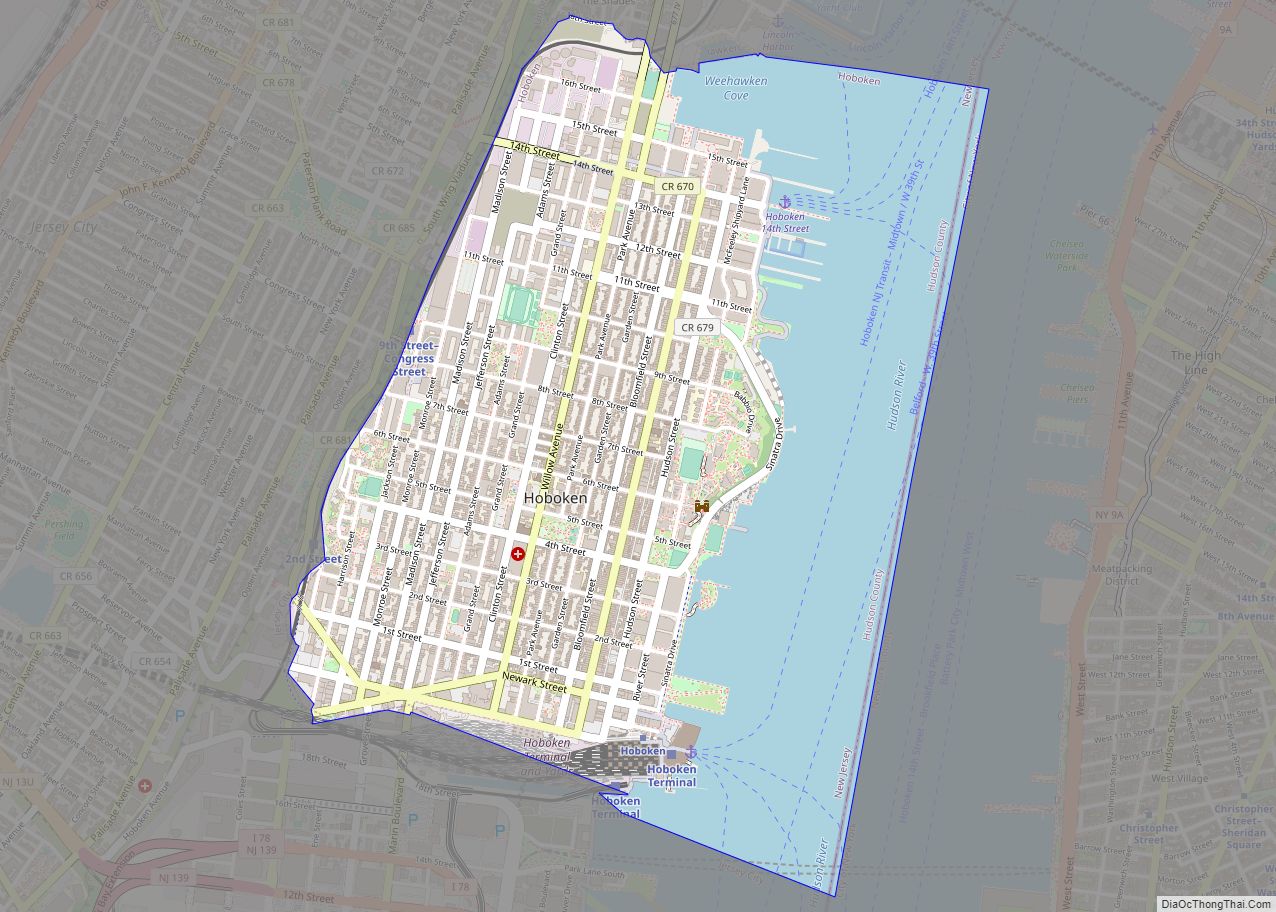
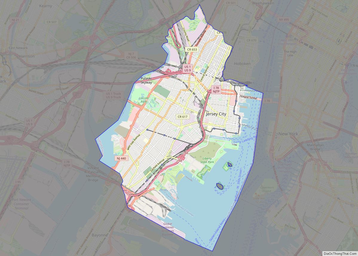
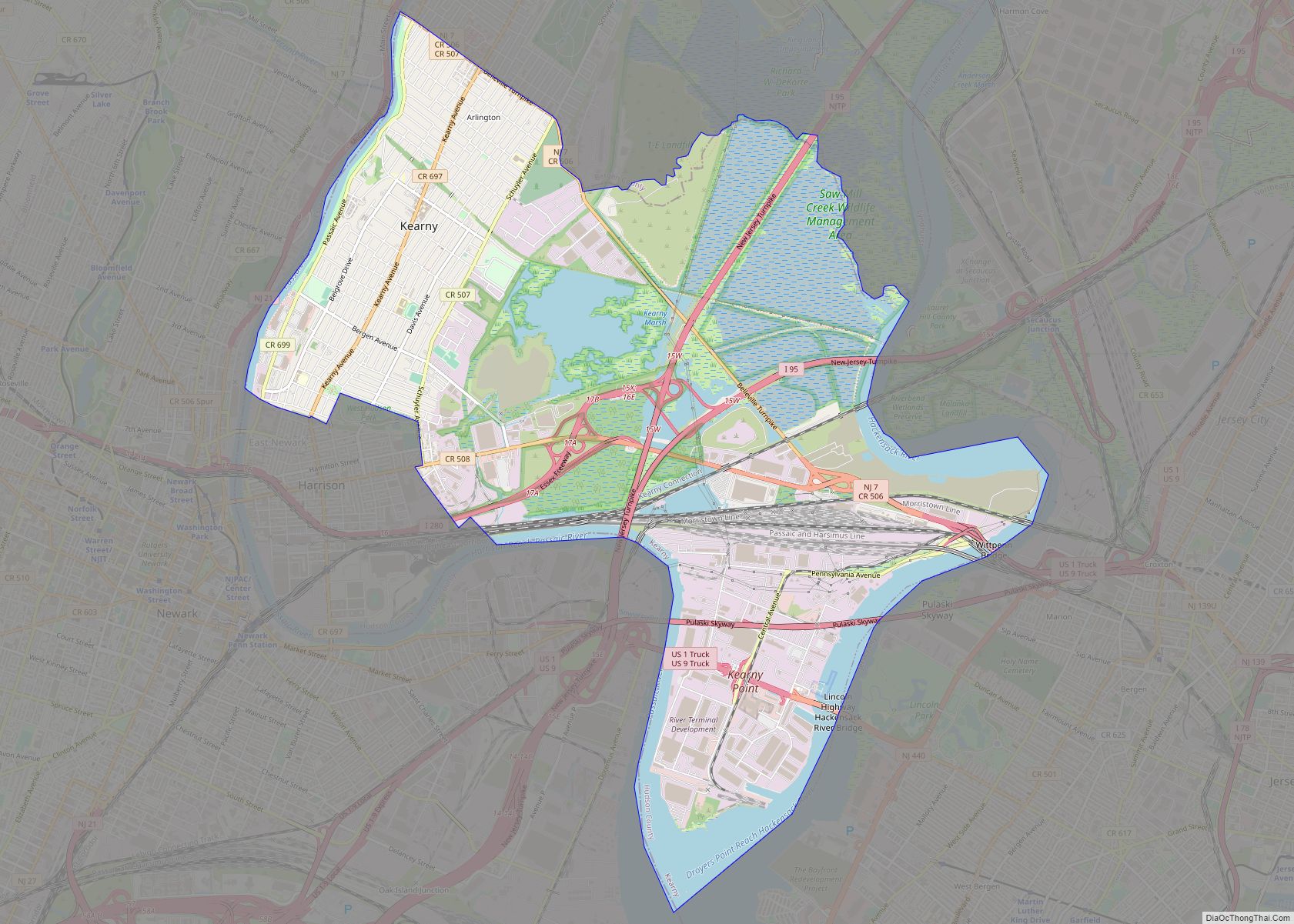
Guttenberg is located atop the Hudson Palisades, south of Woodcliff and the Racetrack Section in North Bergen and north of West New York. To the east the town shares a border the New York City borough of Manhattan (Upper West Side) in the Hudson River. Its western border is Kennedy Boulevard. Bergenline Avenue, the commercial corridor of North Hudson, runs north and south through the town, and is the heart of “Havana on the Hudson”.
According to the United States Census Bureau, the town had a total area of 0.24 square miles (0.62 km), including 0.19 square miles (0.50 km) of land and 0.05 square miles (0.12 km) of water (20.00%). The town is four blocks long, and takes less than a minute to drive through.
See also
Map of New Jersey State and its subdivision: Map of other states:- Alabama
- Alaska
- Arizona
- Arkansas
- California
- Colorado
- Connecticut
- Delaware
- District of Columbia
- Florida
- Georgia
- Hawaii
- Idaho
- Illinois
- Indiana
- Iowa
- Kansas
- Kentucky
- Louisiana
- Maine
- Maryland
- Massachusetts
- Michigan
- Minnesota
- Mississippi
- Missouri
- Montana
- Nebraska
- Nevada
- New Hampshire
- New Jersey
- New Mexico
- New York
- North Carolina
- North Dakota
- Ohio
- Oklahoma
- Oregon
- Pennsylvania
- Rhode Island
- South Carolina
- South Dakota
- Tennessee
- Texas
- Utah
- Vermont
- Virginia
- Washington
- West Virginia
- Wisconsin
- Wyoming