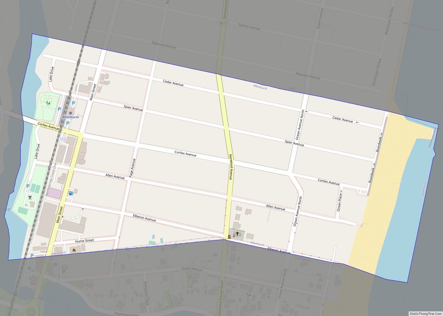
Allenhurst is a borough located at the Jersey Shore, in Monmouth County, in the U.S. state of New Jersey. The settlement was named after resident Abner Allen and was incorporated as a borough by an act of the New Jersey Legislature on April 26, 1897, from portions of Ocean Township. As of the 2020 United ... Read more
New Jersey Cities and Places
Allendale is a borough in Bergen County, in the U.S. state of New Jersey. As of the 2020 United States census, the borough’s population was 6,848, an increase of 343 (+5.3%) from the 2010 census count of 6,505, which in turn reflected a decline of 194 (−2.9%) from the 6,699 counted in 2000. In 2012, ... Read more
Allamuchy is an unincorporated community and census-designated place (CDP) located within Allamuchy Township, in Warren County, New Jersey, United States. As of the 2020 census, its population was 208. As of the 2000 United States census, the area of the current CDP was part of the Allamuchy-Panther Valley CDP, which had a 2000 Census population ... Read more
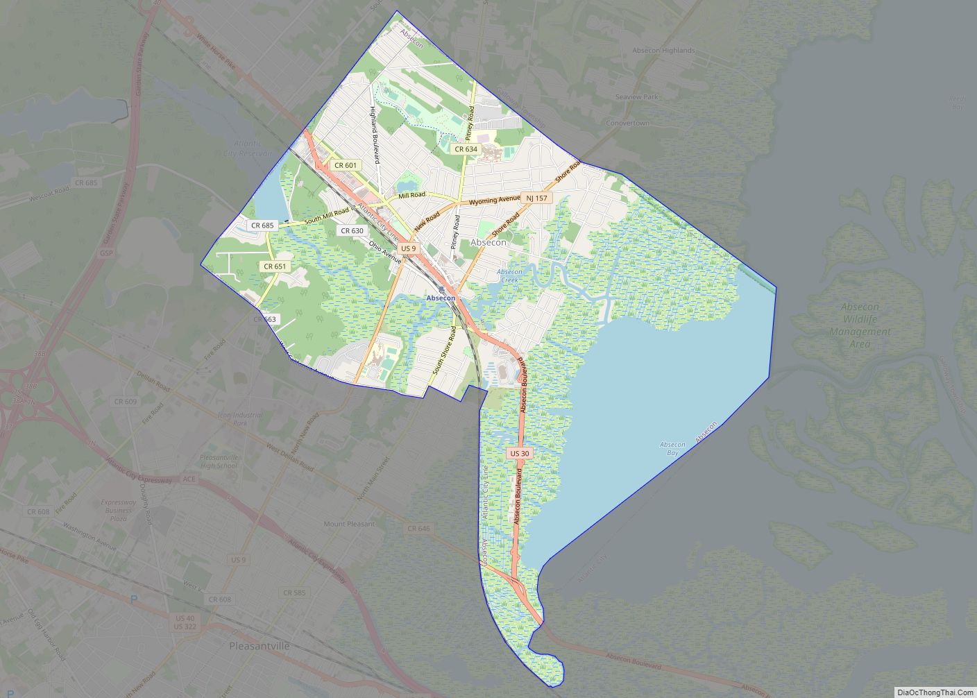
Absecon (/æbsˈiːkin/, ab-SEE-kin) is a city in Atlantic County, in the U.S. state of New Jersey. As of the 2020 United States Census, the city’s population was 9,137, its highest decennial count ever and an increase of 726 (+8.6%) from the 2010 census count of 8,411, which in turn had reflected an increase of 773 ... Read more
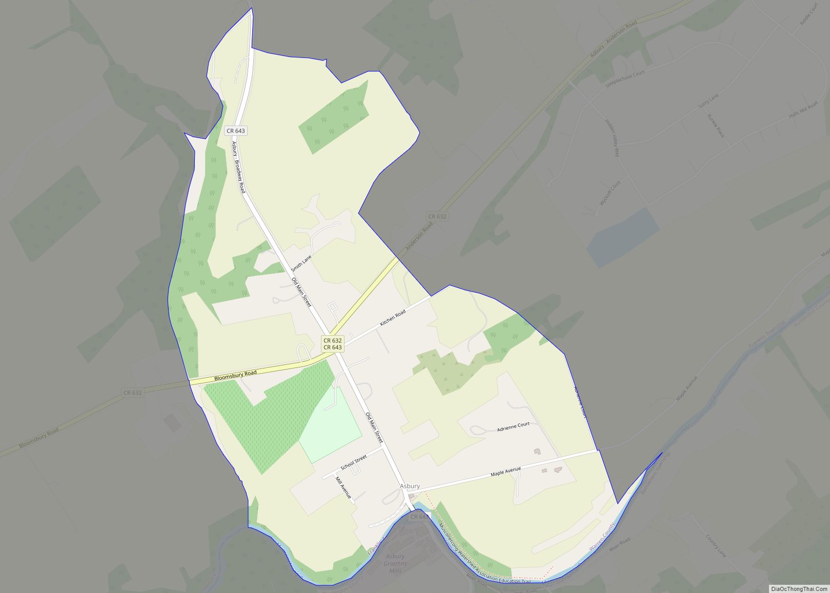
Asbury is an unincorporated community and census-designated place (CDP) located within Franklin Township in Warren County, New Jersey, United States, that was created as part of the 2010 United States Census. As of the 2010 Census, the CDP’s population was 273. Asbury CDP overview: Name: Asbury CDP LSAD Code: 57 LSAD Description: CDP (suffix) State: ... Read more
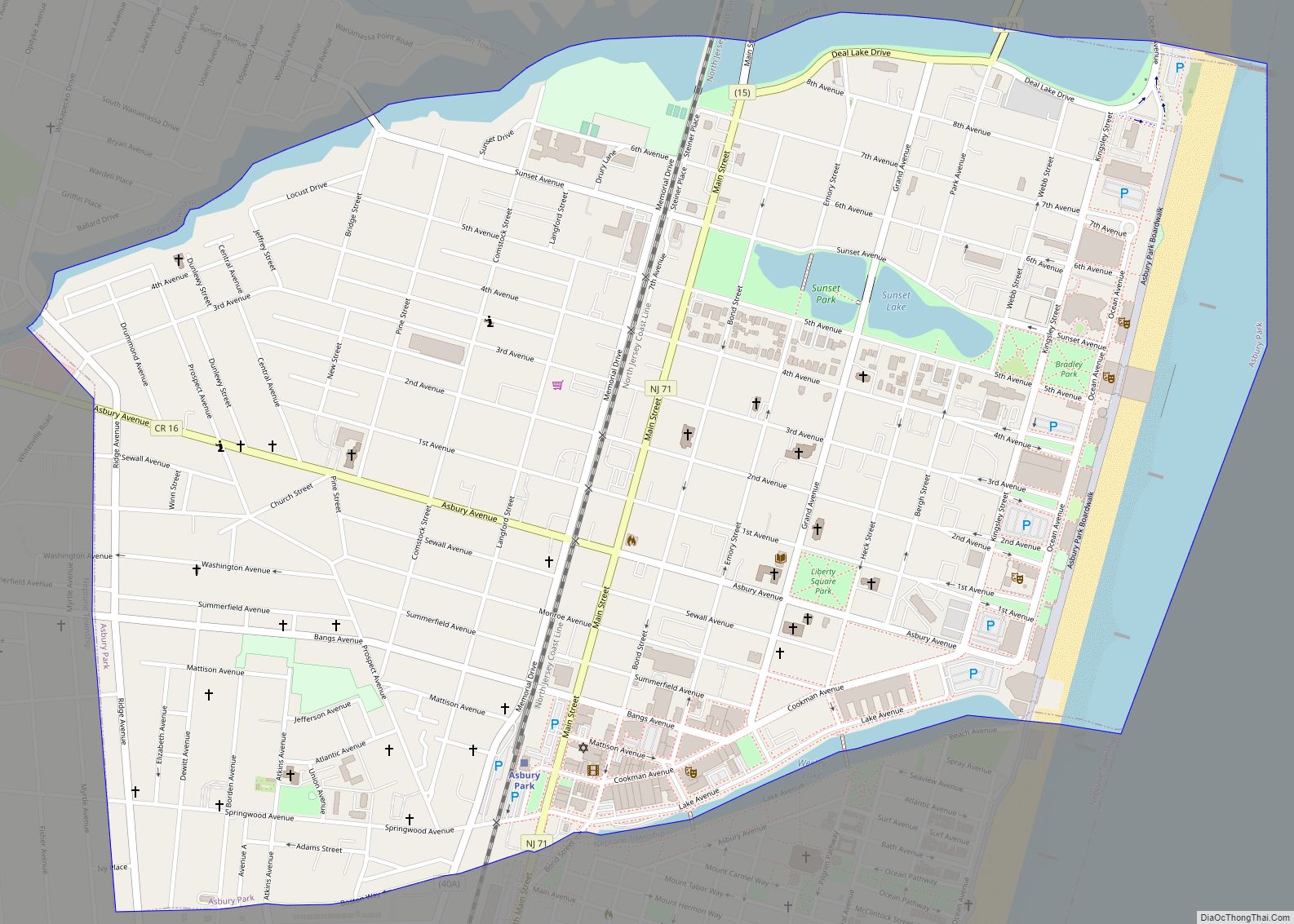
Asbury Park (/æzbɛri/) is a beachfront city located on the Jersey Shore in Monmouth County in the U.S. state of New Jersey. It is part of the New York metropolitan area. As of the 2020 United States census, the city’s population was 15,188, a decrease of 928 (−5.8%) from the 2010 census count of 16,116, ... Read more
Annandale is an unincorporated community and census-designated place (CDP) located within Clinton Township, in Hunterdon County, New Jersey, United States. As of the 2010 United States Census, the CDP’s population was 1,695. The Annandale Historic District was listed on the state and national registers of historic places in 1994. Annandale CDP overview: Name: Annandale CDP ... Read more
Andover borough overview: Name: Andover borough LSAD Code: 21 LSAD Description: borough (suffix) State: New Jersey County: Sussex County FIPS code: 3401330 Online Interactive Map Andover online map. Source: Basemap layers from Google Map, Open Street Map (OSM), Arcgisonline, Wmflabs. Boundary Data from Database of Global Administrative Areas. Andover location map. Where is Andover borough? ... Read more
Anderson is an unincorporated community and census-designated place (CDP) located within Mansfield Township, in Warren County, in the U.S. state of New Jersey, that was created as part of the 2010 United States census. As of the 2020 United States Census, the CDP’s population was 306, a decrease of 36 (-10.5%) from the 342 enumerated ... Read more
Avalon is a borough in Cape May County, in the U.S. state of New Jersey. It is located on Seven Mile Island. As of the 2020 United States census, the borough’s population was 1,243, a decrease of 91 (−6.8%) from the 2010 census count of 1,334, which in turn declined by 809 (−37.8%) from the ... Read more
Audubon is a borough in Camden County, in the U.S. state of New Jersey. As of the 2020 United States census, the borough’s population was 8,707, a decrease of 112 (−1.3%) from the 2010 census count of 8,819, which in turn reflected a decline of 363 (−4.0%) from the 9,182 counted in the 2000 census. ... Read more
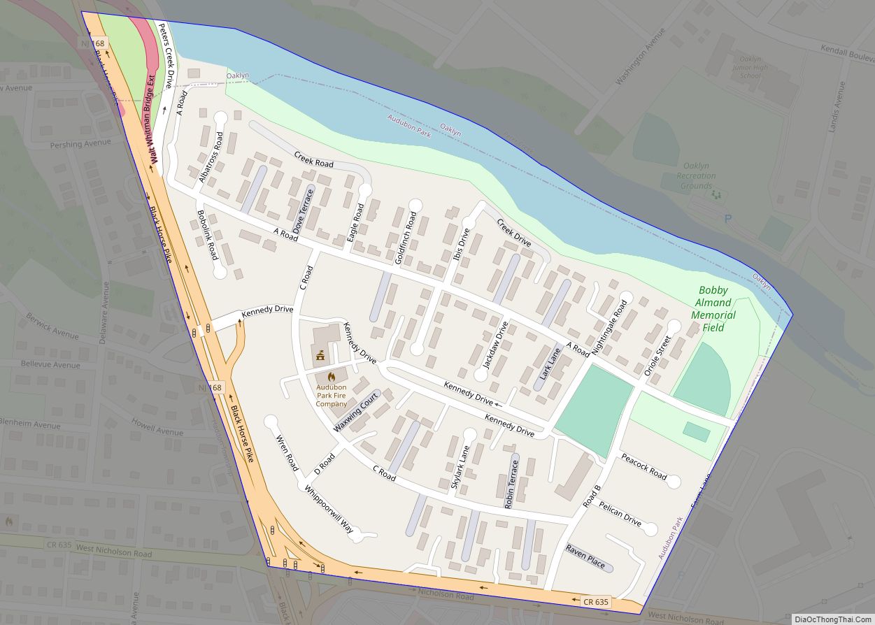
Audubon Park is a borough in Camden County, in the U.S. state of New Jersey. As of the 2020 United States census, the borough’s population was 991, a decrease of 32 (−3.1%) from the 2010 census count of 1,023, which in turn reflected a decline of 79 (−7.2%) from the 1,102 counted in the 2000 ... Read more
