Anderson is an unincorporated community and census-designated place (CDP) located within Mansfield Township, in Warren County, in the U.S. state of New Jersey, that was created as part of the 2010 United States census. As of the 2020 United States Census, the CDP’s population was 306, a decrease of 36 (-10.5%) from the 342 enumerated ... Read more
New Jersey Cities and Places
Avalon is a borough in Cape May County, in the U.S. state of New Jersey. It is located on Seven Mile Island. As of the 2020 United States census, the borough’s population was 1,243, a decrease of 91 (−6.8%) from the 2010 census count of 1,334, which in turn declined by 809 (−37.8%) from the ... Read more
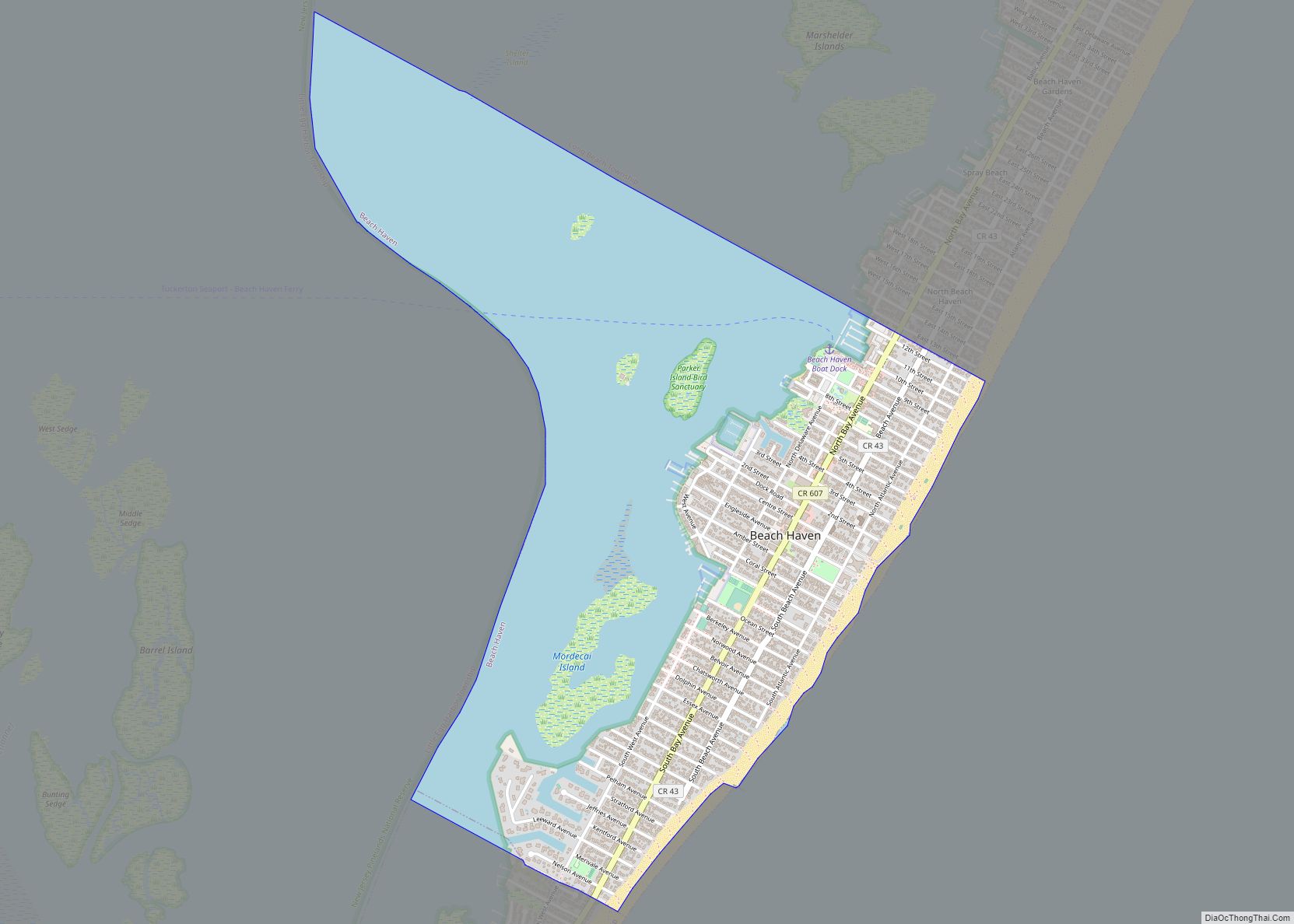
Beach Haven is a borough situated on the Jersey Shore in southern Ocean County, in the U.S. state of New Jersey. The borough is located on Long Beach Island (LBI) and borders the Atlantic Ocean. As of the 2020 United States census, the borough’s population was 1,027, a decrease of 143 (−12.2%) from the 2010 ... Read more
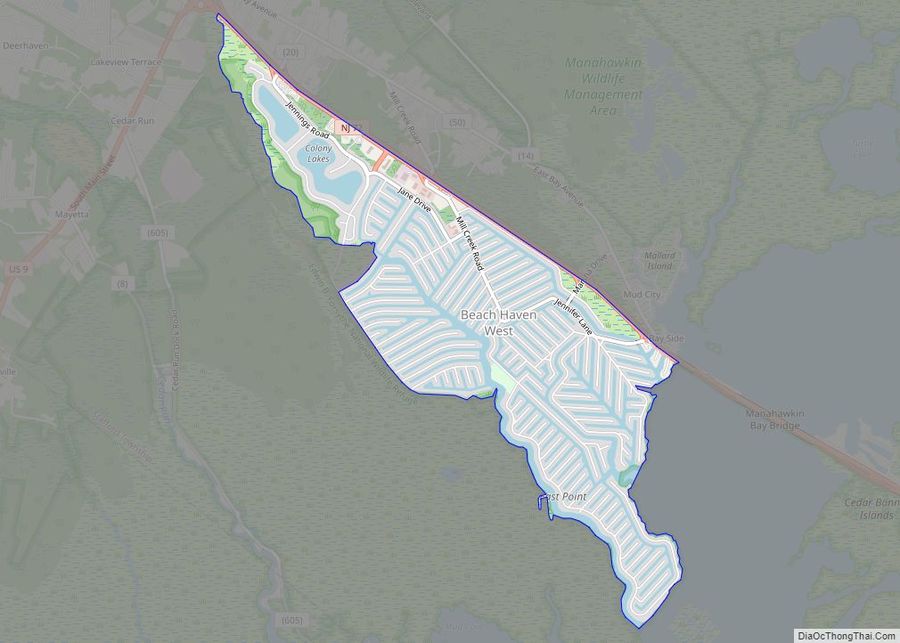
Beach Haven West is an unincorporated community and census-designated place (CDP) located within Stafford Township, in Ocean County, in the U.S. state of New Jersey. As of the 2020 United States census, the CDP’s population was 4,143, an increase of 247 (+6.3%) from the 3,896 recorded at the 2010 census, which in turn had reflected ... Read more
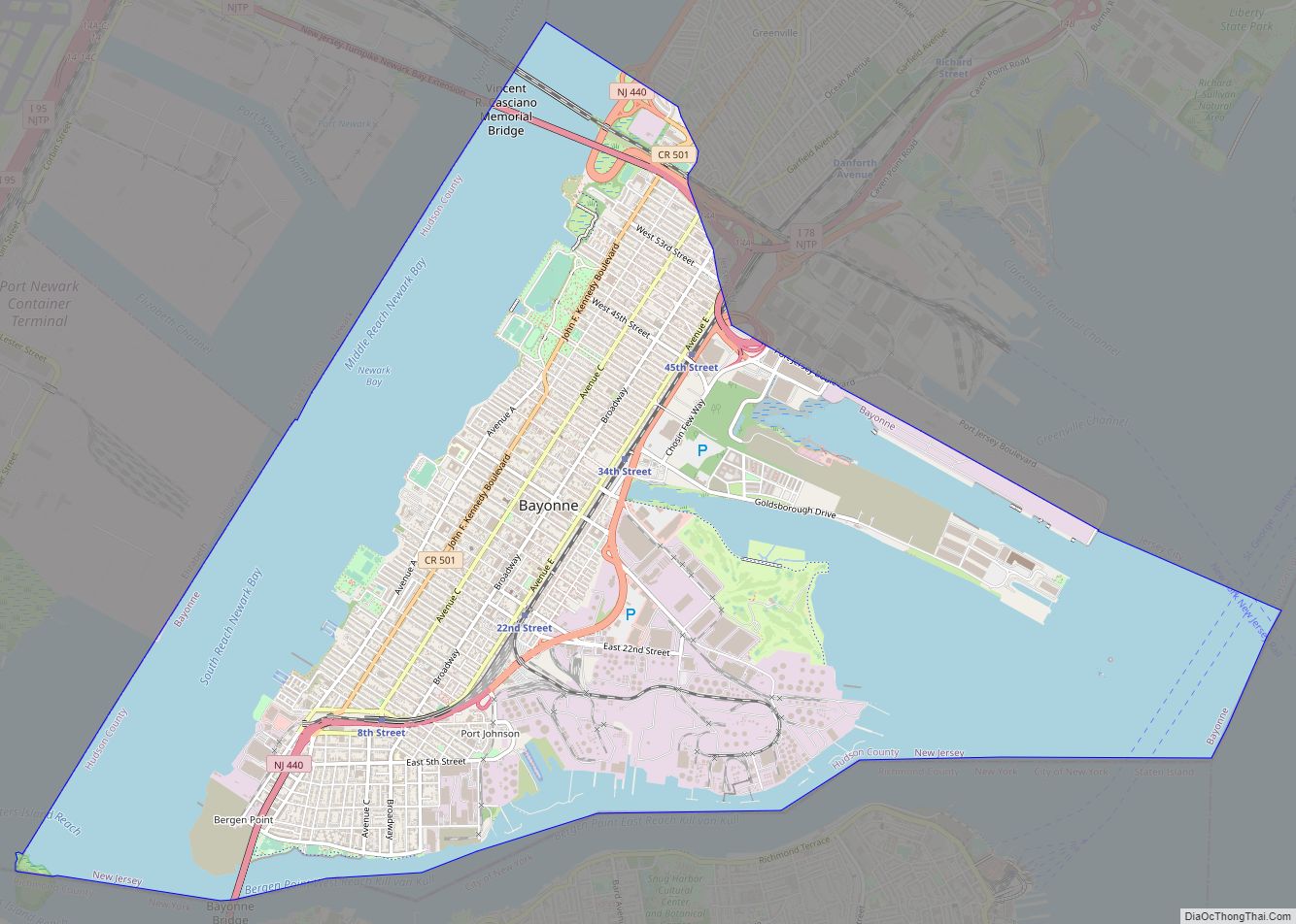
Bayonne (/beɪˈ(j)oʊn/ bay-(Y)OHN) is a city in Hudson County in the U.S. state of New Jersey. Located in the Gateway Region, Bayonne is situated on a peninsula between Newark Bay to the west, the Kill Van Kull to the south, and New York Bay to the east. As of the 2020 United States census, the ... Read more
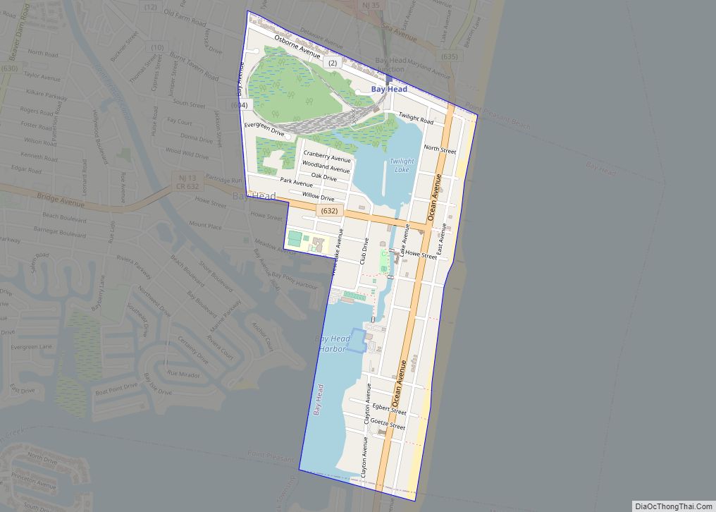
Bay Head is a borough situated on the Jersey Shore in northern Ocean County, in the U.S. state of New Jersey. As of the 2020 United States census, the borough’s population was 930, a decrease of 38 (−3.9%) from the 2010 census count of 968, which in turn reflected a decline of 270 (−21.8%) from ... Read more
Barrington is a borough in Camden County, in the U.S. state of New Jersey. As of the 2020 United States census, the borough’s population was 7,075, an increase of 92 (+1.3%) from the 2010 census count of 6,983, which in turn reflected a decline of 101 (-1.4%) from the 7,084 counted in the 2000 census. ... Read more
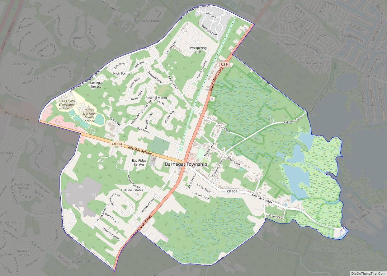
Barnegat is an unincorporated community and census-designated place (CDP) located within Barnegat Township, in Ocean County, in the U.S. state of New Jersey. As of the 2010 United States census, the CDP’s population was 2,817. Barnegat CDP overview: Name: Barnegat CDP LSAD Code: 57 LSAD Description: CDP (suffix) State: New Jersey County: Ocean County Elevation: ... Read more
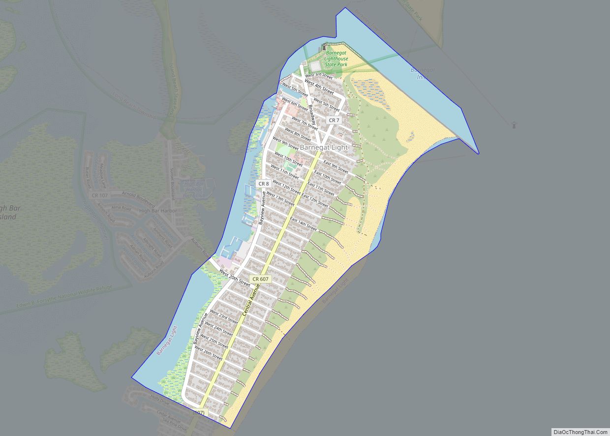
Barnegat Light is a borough in Ocean County, in the U.S. state of New Jersey. As of the 2020 United States census, the borough’s population was 640, an increase of 66 (+11.5%) from the 2010 census count of 574, which in turn reflected a decline of 190 (−24.9%) from the 764 counted at the 2000 ... Read more
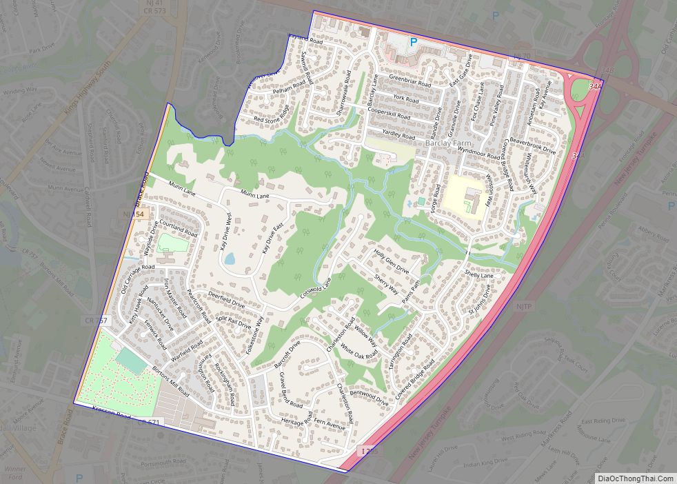
Barclay Farm (or simply Barclay) is an unincorporated community and census-designated place (CDP) located within Cherry Hill, in Camden County, in the U.S. state of New Jersey, that had been part of the Barclay-Kingston CDP until 2000, which was split to form the CDPs of Barclay and Kingston Estates as of the 2010 Census. Until ... Read more
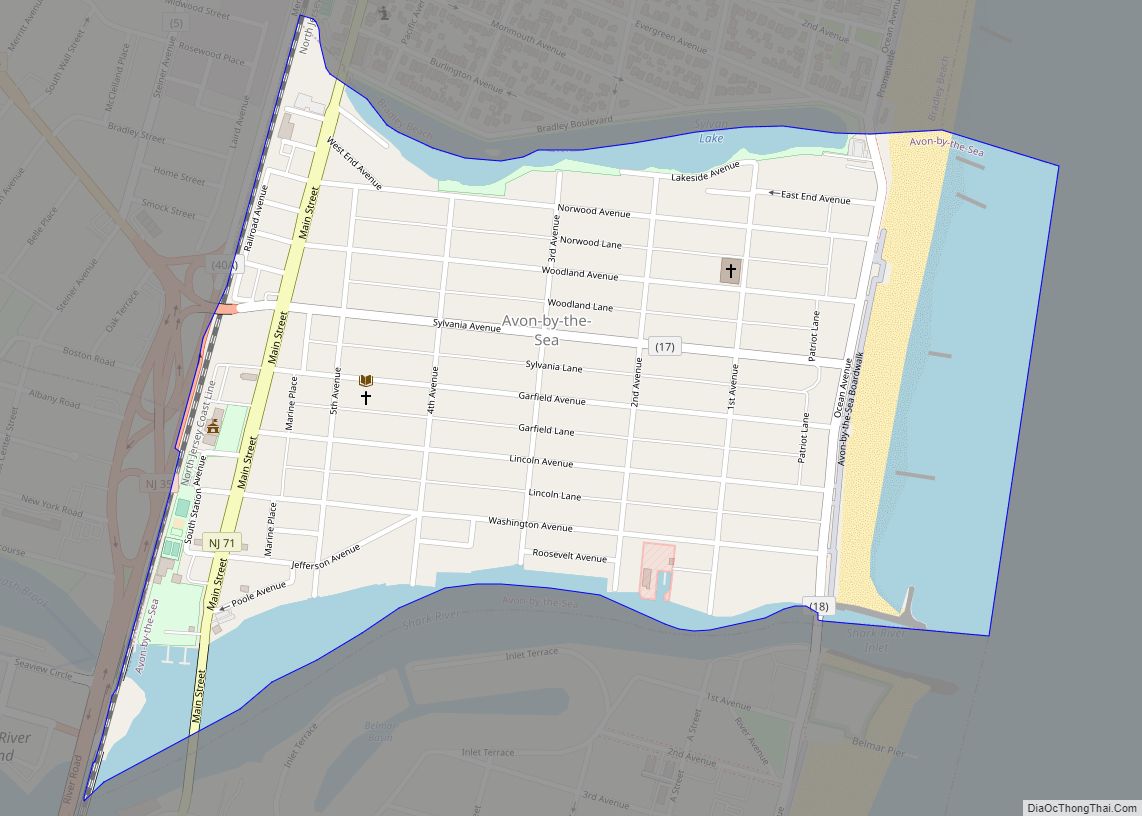
Avon-by-the-Sea (often called simply Avon; pronunciation: /ævɒn/, AH-von) is a borough in Monmouth County, in the U.S. state of New Jersey. As of the 2020 United States census, the borough’s population was 1,933, an increase of 32 (+1.7%) from the 2010 census count of 1,901, which in turn reflected a decline of 343 (−15.3%) from ... Read more
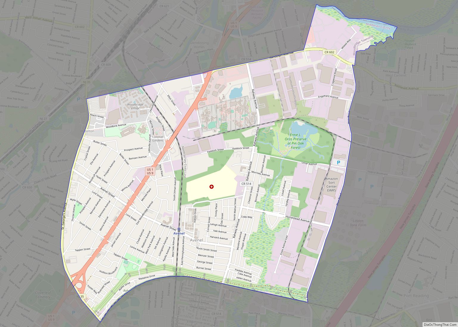
Avenel /ævənɛl/ is an unincorporated community and census-designated place (CDP) located within Woodbridge Township, in Middlesex County, in the U.S. state of New Jersey. Avenel is approximately 25 miles (40 km) southwest of Midtown Manhattan along the North Jersey Coast rail line As of the 2020 United States census, the CDP’s population was 16,920, a decrease ... Read more


