Bayonne (/beɪˈ(j)oʊn/ bay-(Y)OHN) is a city in Hudson County in the U.S. state of New Jersey. Located in the Gateway Region, Bayonne is situated on a peninsula between Newark Bay to the west, the Kill Van Kull to the south, and New York Bay to the east. As of the 2020 United States census, the city was the state’s 15th-most-populous municipality, surpassing 2010 #15 Passaic, with a population of 71,686, an increase of 8,662 (+13.7%) from the 2010 census count of 63,024, which in turn reflected an increase of 1,182 (+1.9%) from the 61,842 counted in the 2000 census. The Census Bureau’s Population Estimates Program calculated that the city’s population was 69,211 in 2021, ranking the city the 544th-most-populous in the country.
Bayonne was originally formed as a township on April 1, 1861, from portions of Bergen Township. Bayonne was reincorporated as a city by an act of the New Jersey Legislature on March 10, 1869, replacing Bayonne Township, subject to the results of a referendum held nine days later. At the time it was formed, Bayonne included the communities of Bergen Point, Constable Hook, Centreville, Pamrapo and Saltersville.
While somewhat diminished, traditional manufacturing, distribution, and maritime activities remain a driving force of the economy of the city. A portion of the Port of New York and New Jersey is located there, as is the Cape Liberty Cruise Port.
| Name: | Bayonne city |
|---|---|
| LSAD Code: | 25 |
| LSAD Description: | city (suffix) |
| State: | New Jersey |
| County: | Hudson County |
| Incorporated: | April 1, 1861 (as township) |
| Elevation: | 7 ft (2 m) |
| Total Area: | 11.22 sq mi (29.06 km²) |
| Land Area: | 5.82 sq mi (15.08 km²) |
| Water Area: | 5.40 sq mi (13.98 km²) 47.50% |
| Population Density: | 12,315.1/sq mi (4,754.9/km²) |
| ZIP code: | 07002 |
| FIPS code: | 3403580 |
| GNISfeature ID: | 0885151 |
| Website: | www.bayonnenj.org |
Online Interactive Map
Click on ![]() to view map in "full screen" mode.
to view map in "full screen" mode.
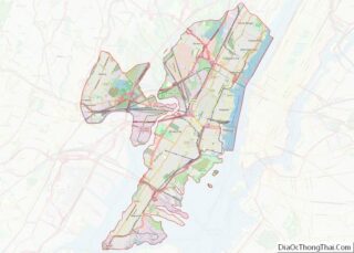
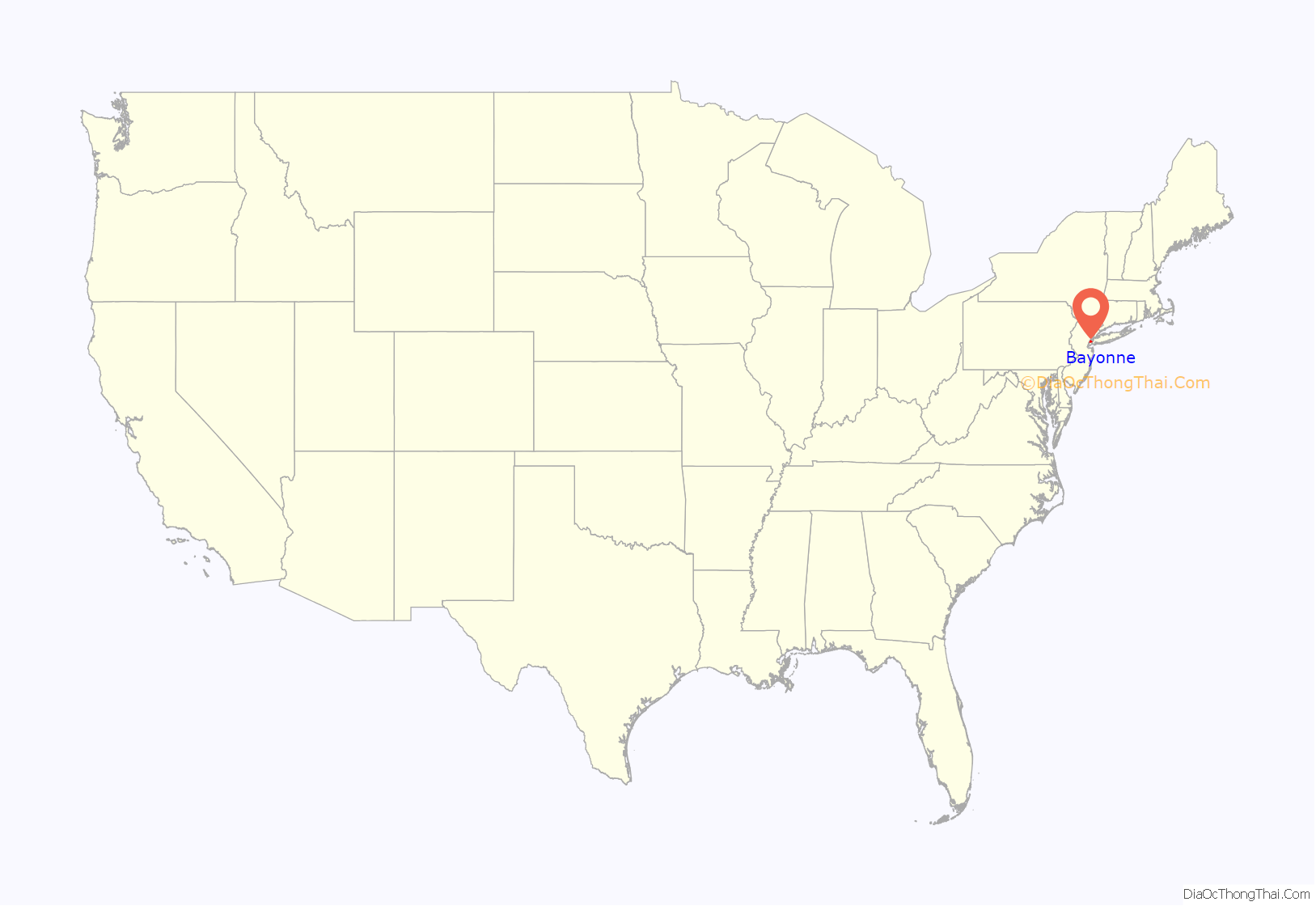
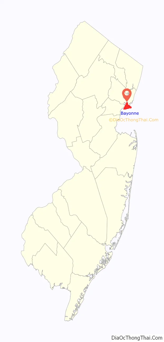
Bayonne location map. Where is Bayonne city?
History
Originally inhabited by Native Americans, the region presently known as Bayonne was claimed by the Netherlands after Henry Hudson explored the Hudson River which is named after him. According to Royden Page Whitcomb’s 1904 book, First History of Bayonne, New Jersey, the name Bayonne is speculated to have originated with Bayonne, France, from which Huguenots settled for a year before the founding of New Amsterdam. However, there is no empirical evidence for this notion. Whitcomb gives more credence to the idea that Erastus Randall, E.C. Bramhall and B.F. Woolsey, who bought the land owned by Jasper and William Cadmus for real estate speculation, named it Bayonne for purposes of real estate speculation, because it was located on the shores of two bays, Newark and New York.
Bayonne became one of the largest centers in the nation for refining crude oil and Standard Oil of New Jersey’s facility—which had grown from its original establishment in 1877—and its 6,000 employees made it the city’s largest place of employment. Significant civil unrest arose during the Bayonne refinery strikes of 1915–1916, in which mostly Polish-American workers staged labor actions against Standard Oil of New Jersey and Tidewater Petroleum, seeking improved pay and working conditions. Four striking workers were killed when strikebreakers, allegedly protected by police, fired upon a violent crowd.
The Cape Liberty Cruise Port is a cruise ship terminal that is on a 430-acre (170 ha) site that had been originally developed for industrial uses in the 1930s and then taken over by the U.S. government during World War II as the Military Ocean Terminal at Bayonne. Voyager of the Seas, departing from the cruise terminal in 2004, became the first passenger ship to depart from a port in New Jersey in almost 40 years.
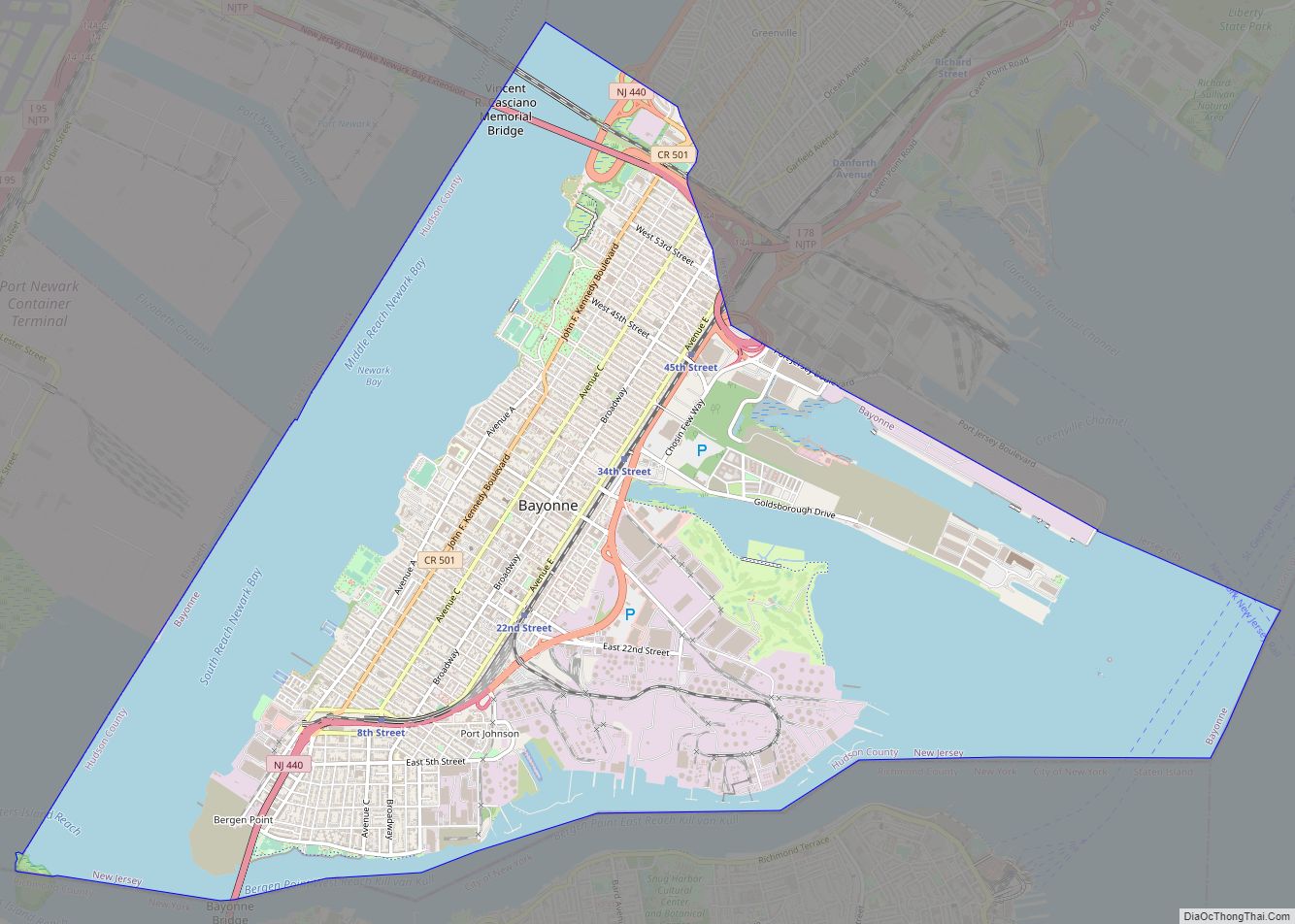
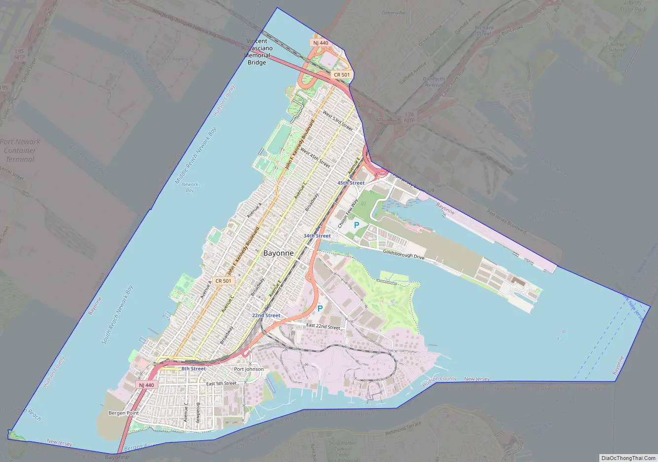
Bayonne Road Map
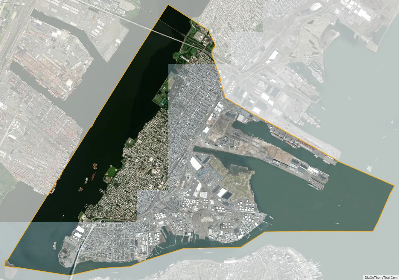
Bayonne city Satellite Map
Geography
Geography
According to the United States Census Bureau, the city had a total area of 11.09 square miles (28.72 km), including 5.82 square miles (15.08 km) of land and 5.27 square miles (13.64 km) of water (47.50%).
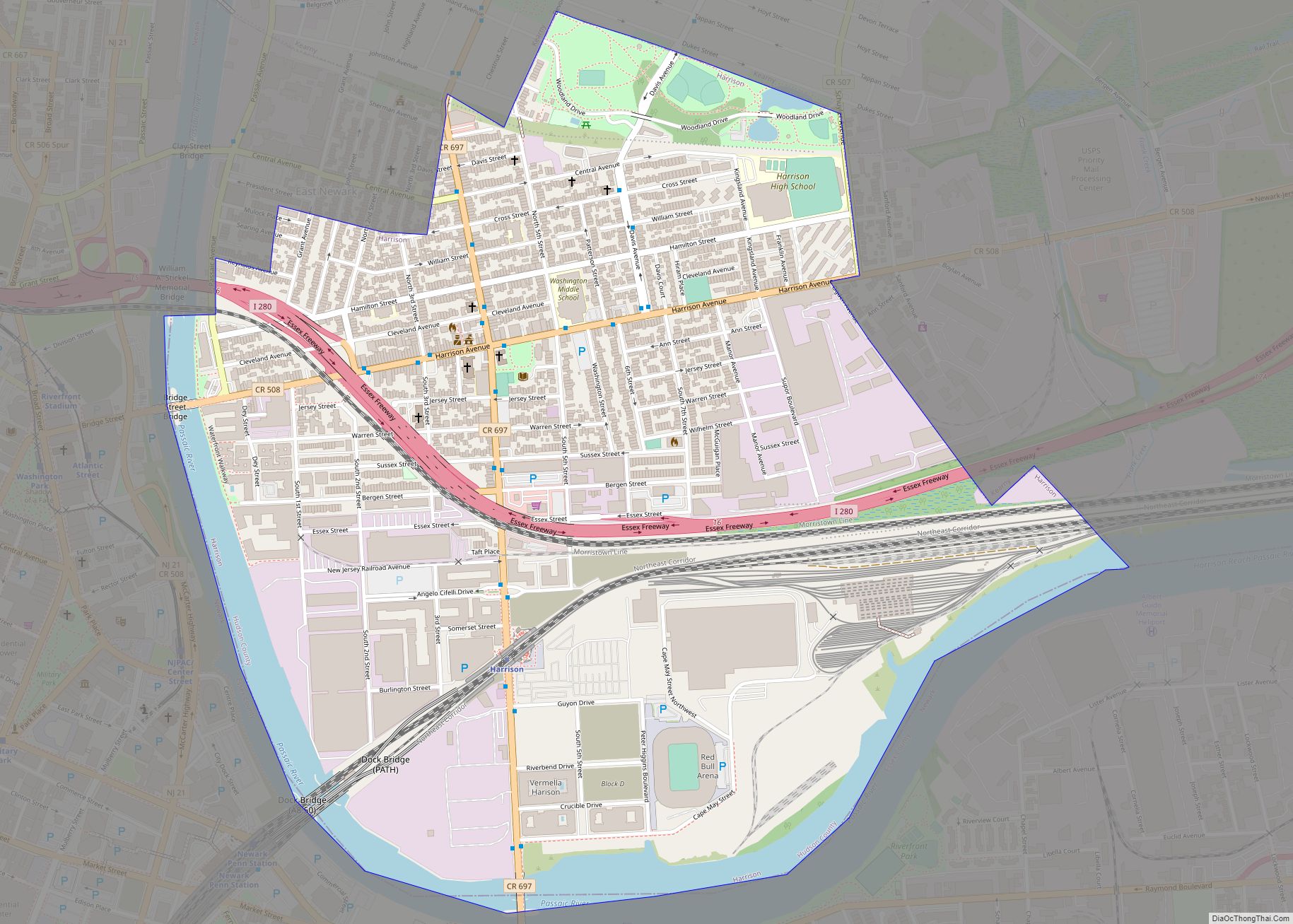
The city is located on a peninsula earlier known as Bergen Neck surrounded by Upper New York Bay to the east, Newark Bay to the west, and Kill Van Kull to the south. Bayonne is east of Newark, the state’s largest city, north of Elizabeth in Union County and west of Brooklyn. It shares a land border with Jersey City to the north and is connected to Staten Island by the Bayonne Bridge.
Unincorporated communities, localities and place names located partially or completely within the city include: Bergen Point, Constable Hook and Port Johnson.
Climate
Bayonne has a humid subtropical climate (Cfa) bordering a hot-summer humid continental climate (Dfa). The average monthly temperature varies from 32.3 °F in January to 77.0 °F in July. The hardiness zone is 7b and the average absolute minimum temperature is 5.2 °F.
See also
Map of New Jersey State and its subdivision: Map of other states:- Alabama
- Alaska
- Arizona
- Arkansas
- California
- Colorado
- Connecticut
- Delaware
- District of Columbia
- Florida
- Georgia
- Hawaii
- Idaho
- Illinois
- Indiana
- Iowa
- Kansas
- Kentucky
- Louisiana
- Maine
- Maryland
- Massachusetts
- Michigan
- Minnesota
- Mississippi
- Missouri
- Montana
- Nebraska
- Nevada
- New Hampshire
- New Jersey
- New Mexico
- New York
- North Carolina
- North Dakota
- Ohio
- Oklahoma
- Oregon
- Pennsylvania
- Rhode Island
- South Carolina
- South Dakota
- Tennessee
- Texas
- Utah
- Vermont
- Virginia
- Washington
- West Virginia
- Wisconsin
- Wyoming