Beach Haven is a borough situated on the Jersey Shore in southern Ocean County, in the U.S. state of New Jersey. The borough is located on Long Beach Island (LBI) and borders the Atlantic Ocean. As of the 2020 United States census, the borough’s population was 1,027, a decrease of 143 (−12.2%) from the 2010 census count of 1,170, which in turn reflected a decline of 108 (−8.5%) from the 1,278 counted at the 2000 census.
Beach Haven was incorporated as a Borough by an act of the New Jersey Legislature on November 11, 1890, from portions of Eagleswood Township, based on the results of a referendum held five days earlier.
| Name: | Beach Haven borough |
|---|---|
| LSAD Code: | 21 |
| LSAD Description: | borough (suffix) |
| State: | New Jersey |
| County: | Ocean County |
| Incorporated: | November 11, 1890 |
| Elevation: | 0 ft (0 m) |
| Total Area: | 2.33 sq mi (6.03 km²) |
| Land Area: | 0.98 sq mi (2.54 km²) |
| Water Area: | 1.35 sq mi (3.50 km²) 57.94% |
| Total Population: | 1,027 |
| Population Density: | 1,048.6/sq mi (404.9/km²) |
| ZIP code: | 08008 |
| FIPS code: | 3403940 |
| GNISfeature ID: | 885152 |
| Website: | www.beachhaven-nj.gov |
Online Interactive Map
Click on ![]() to view map in "full screen" mode.
to view map in "full screen" mode.
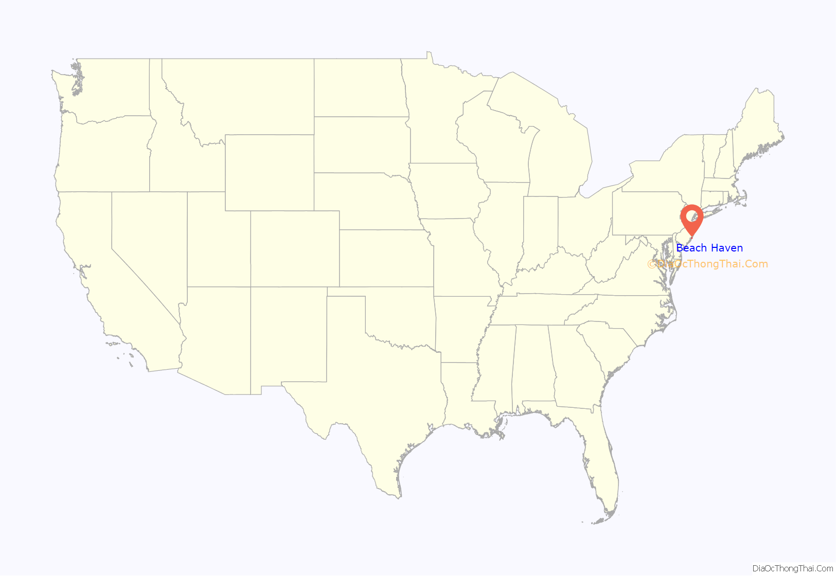
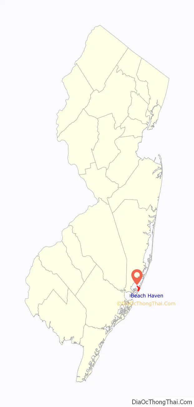
Beach Haven location map. Where is Beach Haven borough?
History
Beach Haven, known as the “Queen City,” is a late 19th-century beachfront resort originally established in 1873 to house wealthy summer residents from Philadelphia. Although some of the major structures, including several hotels and a boardwalk, were lost to storms in the 1940s including the Great Atlantic Hurricane of 1944, a large portion of the town retains its Victorian and Edwardian character. The Beach Haven Historic District listed in the New Jersey and the National Register of Historic Places in the early 1980s, encompasses the most intact buildings at the core of the resort.
The first incident in the Jersey Shore shark attacks of 1916 took place at the east end of Engleside Avenue. The ensuing series of attacks along the Jersey Shore became the basis for the book Jaws, by Peter Benchley.
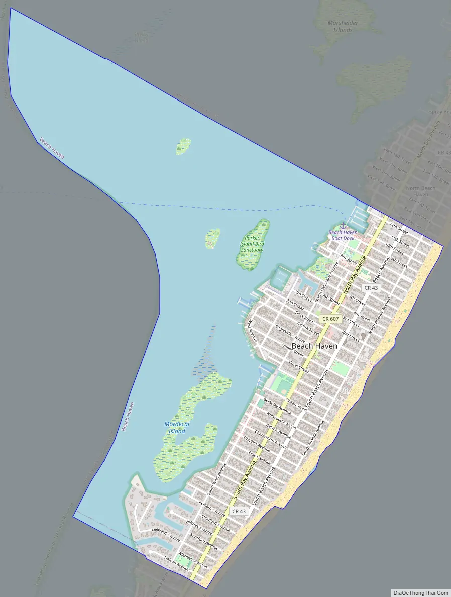
Beach Haven Road Map
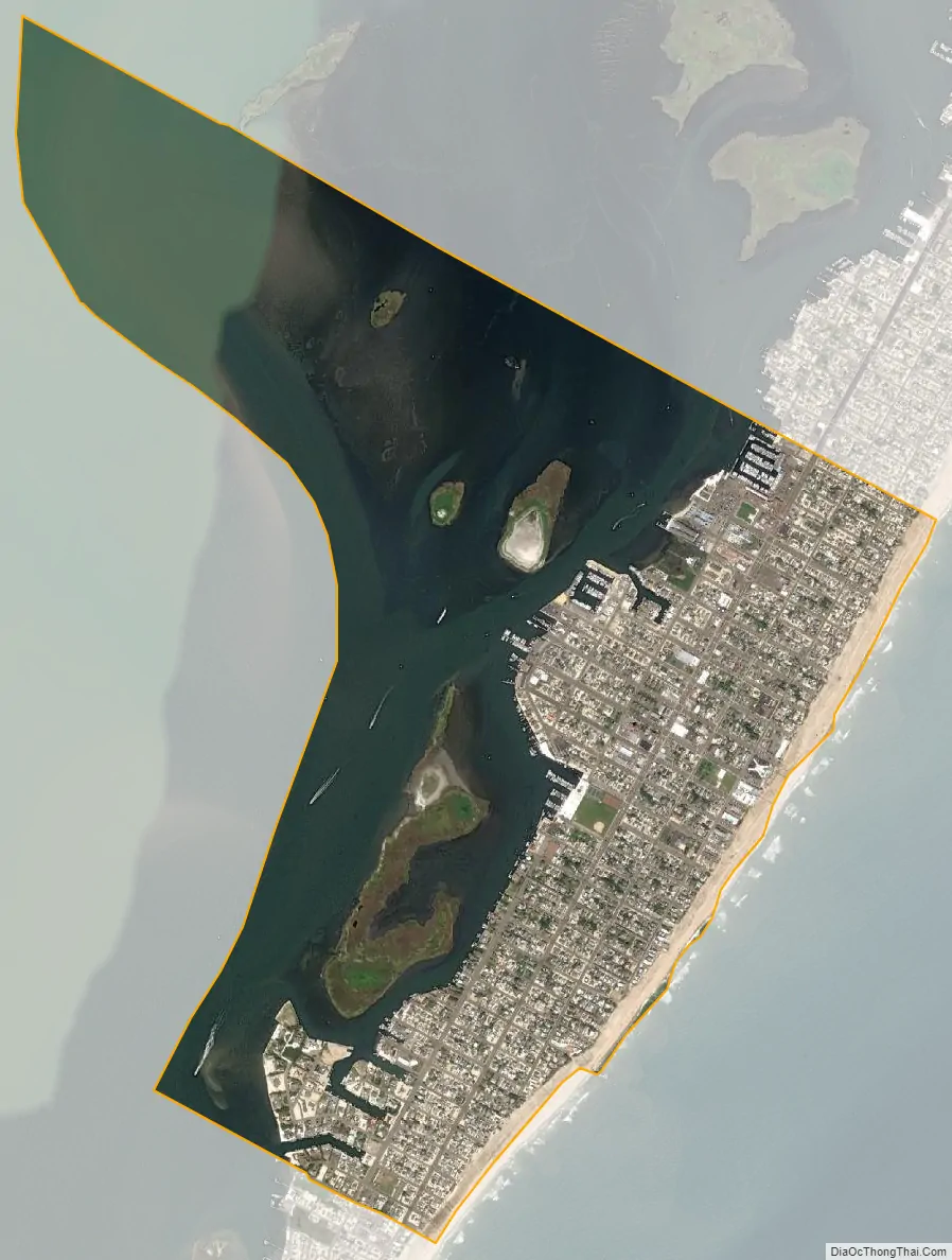
Beach Haven city Satellite Map
Geography
According to the United States Census Bureau, the borough had a total area of 2.33 square miles (6.03 km), including 0.98 square miles (2.54 km) of land and 1.35 square miles (3.50 km) of water (57.94%).
The borough borders the Ocean County municipalities of Little Egg Harbor Township and Long Beach Township.
See also
Map of New Jersey State and its subdivision: Map of other states:- Alabama
- Alaska
- Arizona
- Arkansas
- California
- Colorado
- Connecticut
- Delaware
- District of Columbia
- Florida
- Georgia
- Hawaii
- Idaho
- Illinois
- Indiana
- Iowa
- Kansas
- Kentucky
- Louisiana
- Maine
- Maryland
- Massachusetts
- Michigan
- Minnesota
- Mississippi
- Missouri
- Montana
- Nebraska
- Nevada
- New Hampshire
- New Jersey
- New Mexico
- New York
- North Carolina
- North Dakota
- Ohio
- Oklahoma
- Oregon
- Pennsylvania
- Rhode Island
- South Carolina
- South Dakota
- Tennessee
- Texas
- Utah
- Vermont
- Virginia
- Washington
- West Virginia
- Wisconsin
- Wyoming


