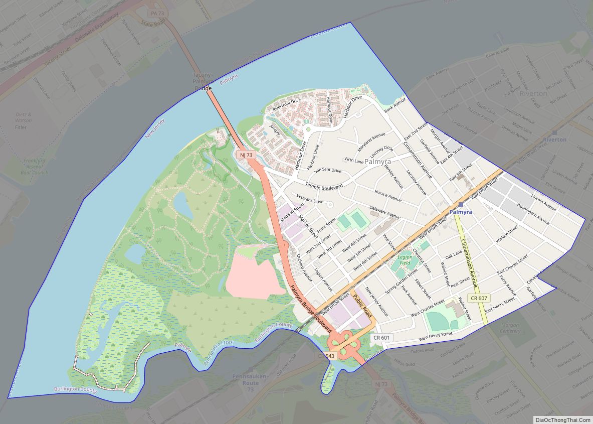
Palmyra is a borough in Burlington County, in the U.S. state of New Jersey. As of the 2020 United States census, the borough’s population was 7,438, an increase of 40 (+0.5%) from the 2010 census count of 7,398, which in turn reflected an increase of 307 (+4.3%) from the 7,091 counted in the 2000 census, ... Read more
New Jersey Cities and Places
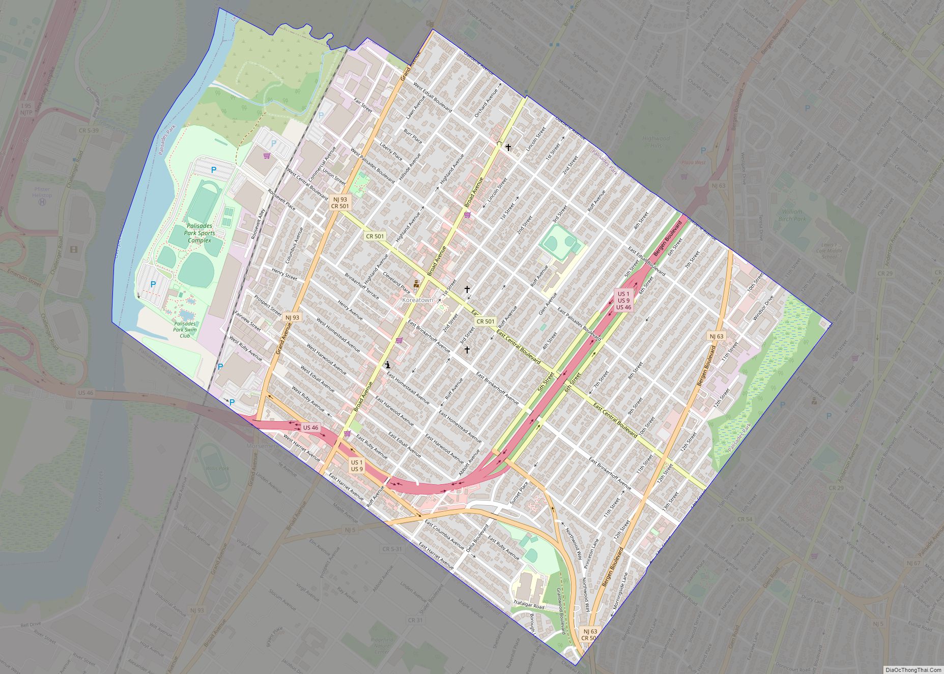
Palisades Park (Korean: 팰리세이즈 파크, romanized: Paelliseijeu Pakeu) is a borough in Bergen County, in the U.S. state of New Jersey. As of the 2020 United States census, the borough’s population was 20,292, an increase of 670 (+3.4%) from the 2010 census count of 19,622, which in turn reflected an increase of 2,549 (+14.9%) from the ... Read more
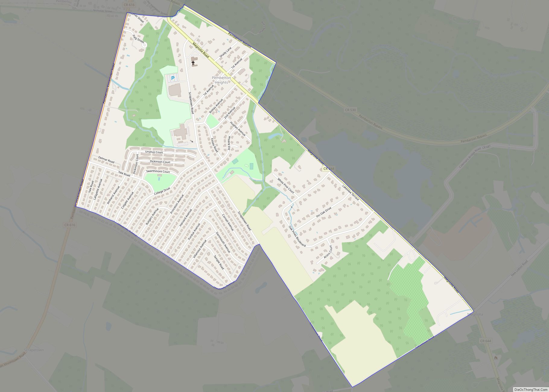
Pemberton Heights is an unincorporated community and census-designated place (CDP) located within Pemberton Township, in Burlington County, New Jersey, United States. As of the 2010 United States Census, the CDP’s population was 2,423. Pemberton Heights CDP overview: Name: Pemberton Heights CDP LSAD Code: 57 LSAD Description: CDP (suffix) State: New Jersey County: Burlington County Elevation: ... Read more
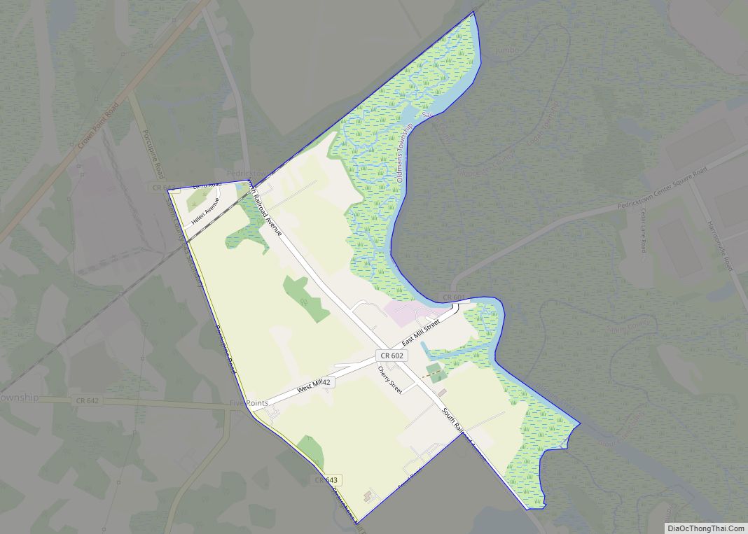
Pedricktown is an unincorporated community and census-designated place (CDP) located within Oldmans Township, in Salem County, New Jersey, United States. As of the 2010 United States Census, the CDP’s population was 524. The area is served as United States Postal Service ZIP code 08067. Pedricktown CDP overview: Name: Pedricktown CDP LSAD Code: 57 LSAD Description: ... Read more
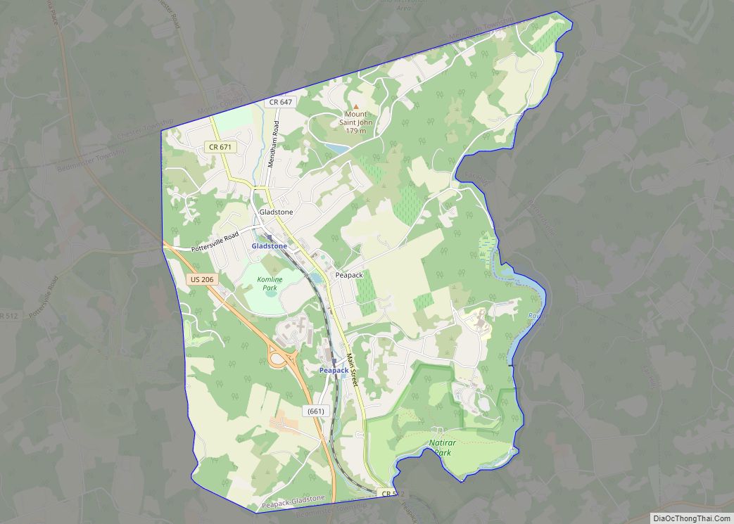
Peapack-Gladstone (also written as Peapack and Gladstone) is a borough in Somerset County in the U.S. state of New Jersey. As of the 2020 United States census, the borough’s population was 2,558, a decrease of 24 (−0.9%) from the 2010 census count of 2,582, which in turn reflected an increase of 149 (+6.1%) from the ... Read more
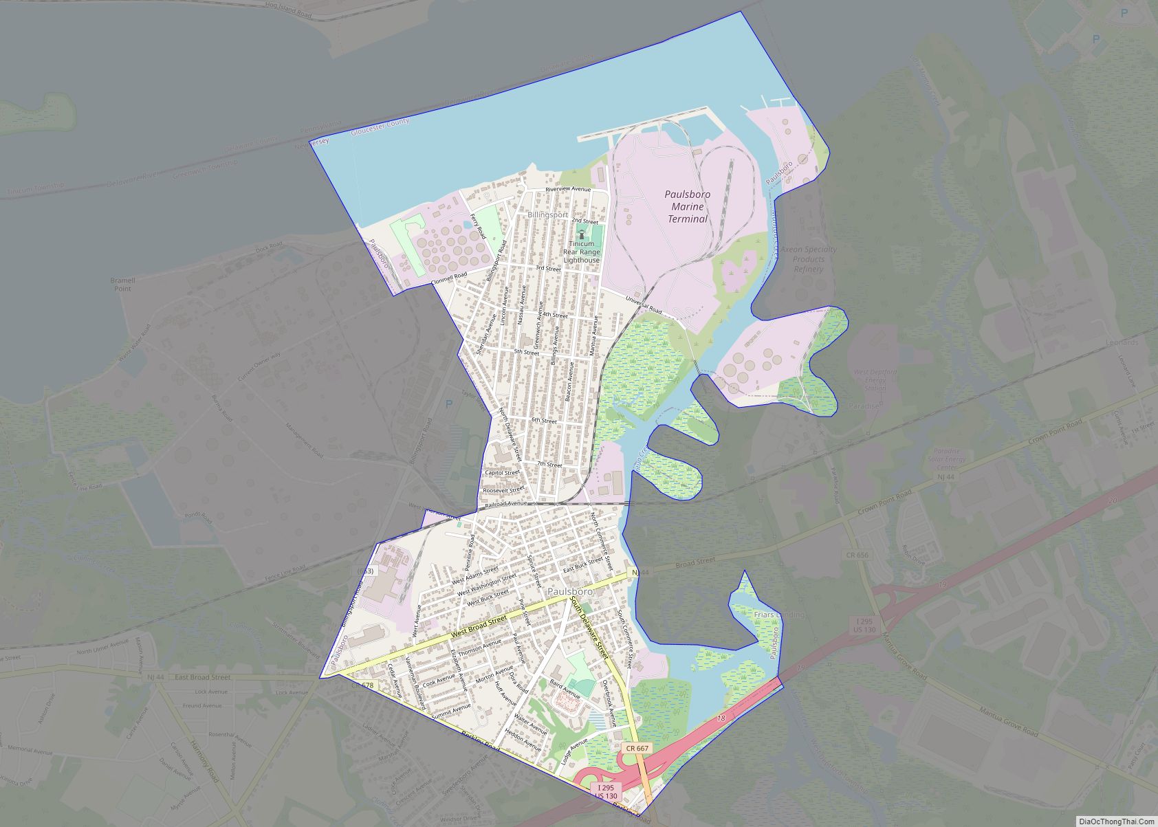
Paulsboro is a borough in Gloucester County, in the U.S. state of New Jersey. As of the 2020 United States census, the borough’s population was 6,196, an increase of 99 (+1.6%) from the 2010 census count of 6,097, which in turn reflected a decline of 63 (−1.0%) from the 6,160 counted in the 2000 census. ... Read more
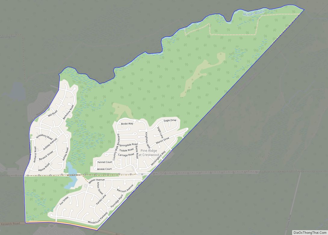
Pine Ridge at Crestwood is an unincorporated community and census-designated place (CDP) located within Manchester Township, in Ocean County, New Jersey, United States. As of the 2010 United States Census, the CDP’s population was 2,369. Pine Ridge at Crestwood CDP overview: Name: Pine Ridge at Crestwood CDP LSAD Code: 57 LSAD Description: CDP (suffix) State: ... Read more
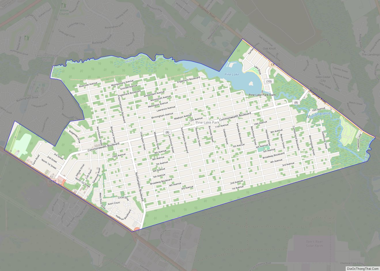
Pine Lake Park is an unincorporated community and census-designated place (CDP) located within Manchester Township, in Ocean County, New Jersey, United States. Until the 2000 Census, the CDP had been part of the Leisure Village West-Pine Lake Park CDP, which was split for the 2010 enumeration into separate CDPs for Leisure Village West and Pine ... Read more
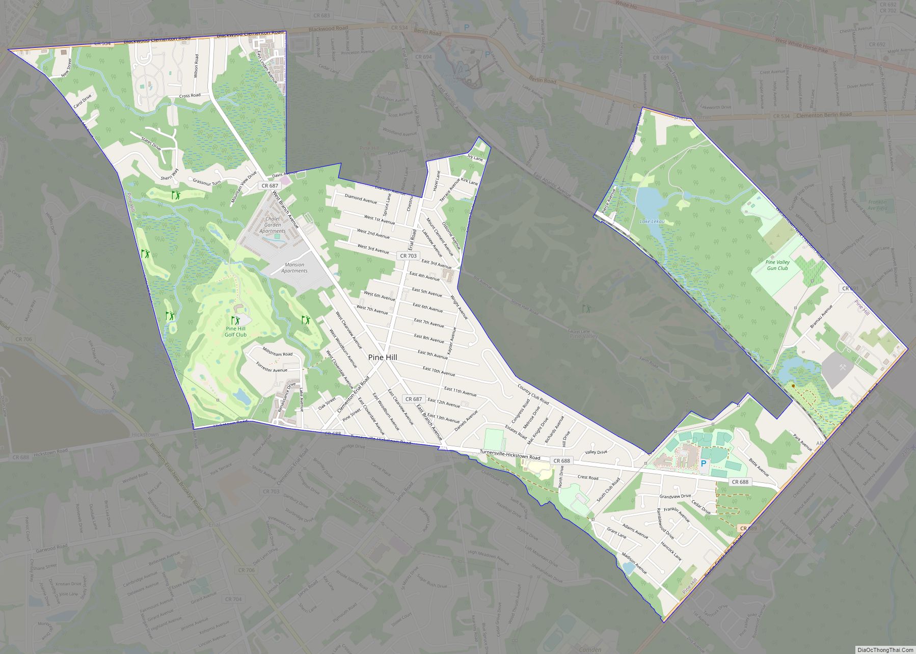
Pine Hill is a borough in Camden County, in the U.S. state of New Jersey. As of the 2020 United States census, the borough’s population was 10,743, an increase of 510 (+5.0%) from the 2010 census count of 10,233, which in turn reflected a decline of 647 (−5.9%) from the 10,880 counted in the 2000 ... Read more
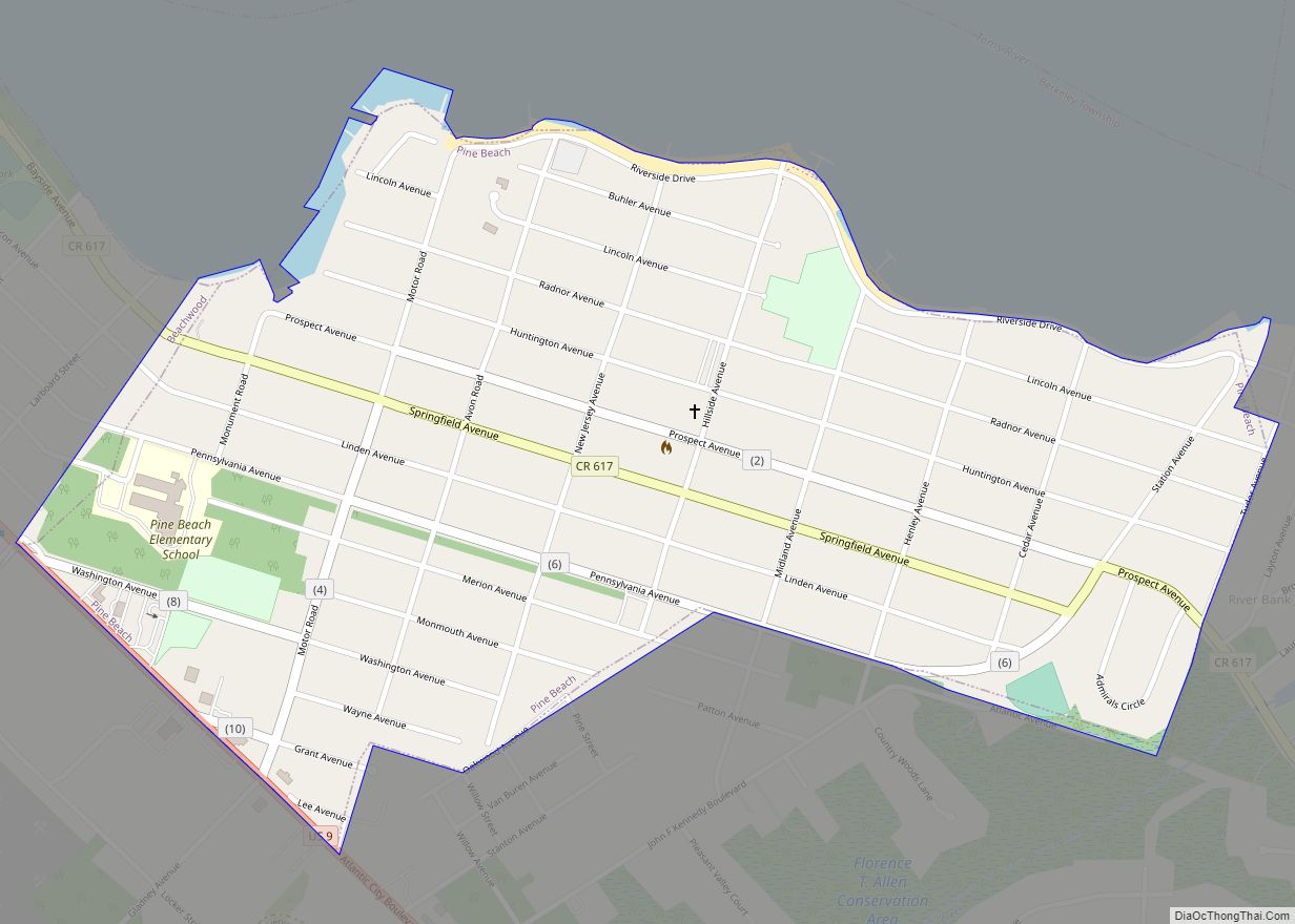
Pine Beach is a borough in Ocean County, in the U.S. state of New Jersey. As of the 2020 United States census, the borough’s population was 2,139, its highest ever decennial count and an increase of 12 (+0.6%) from the 2010 census count of 2,127, which in turn reflected an increase of 177 (+9.1%) from ... Read more
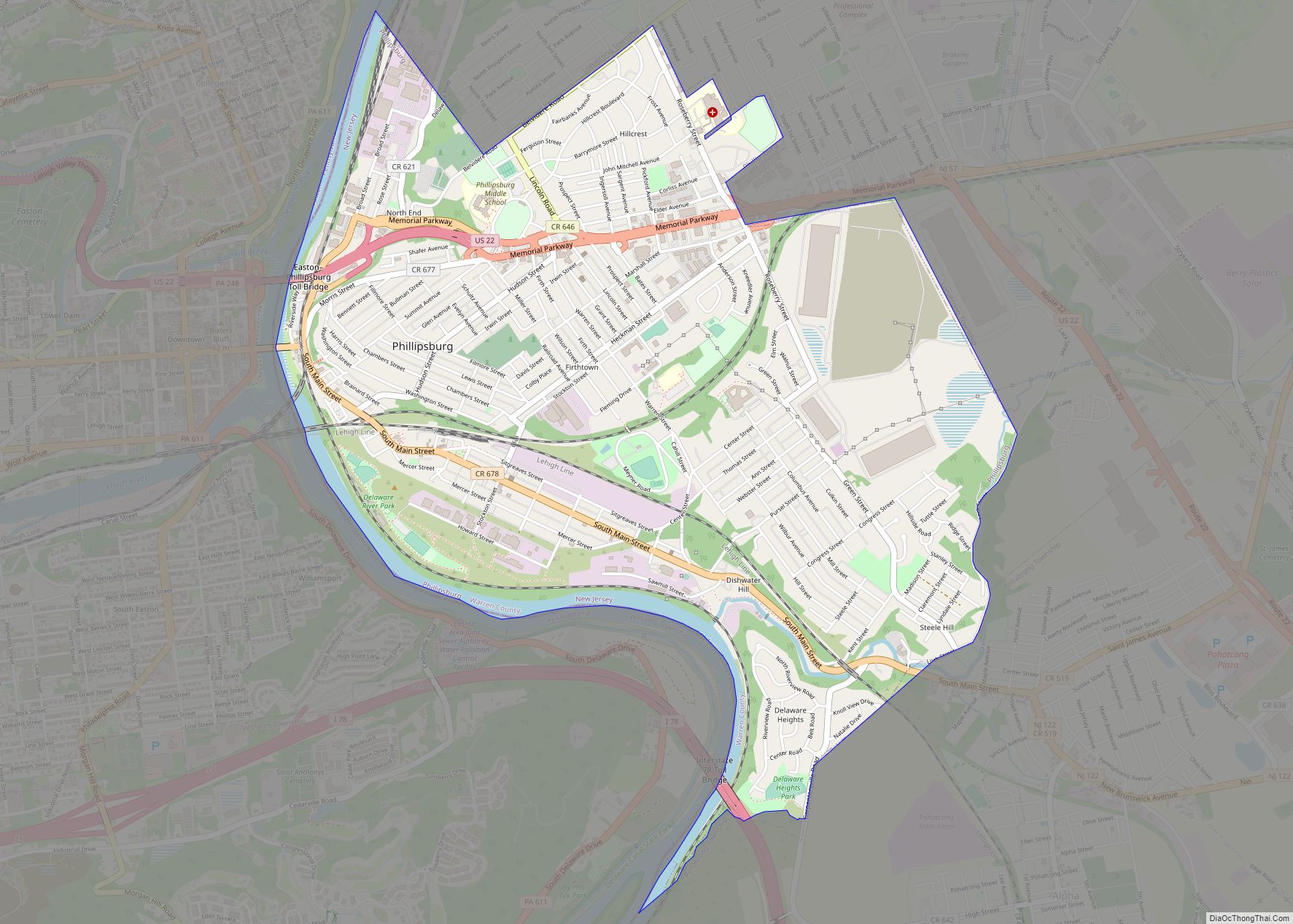
Phillipsburg is a town located along the Delaware River that is the most populous municipality in Warren County, in the U.S. state of New Jersey. As of the 2020 United States census, the town’s population was 15,249, an increase of 299 (+2.0%) from the 2010 census count of 14,950, which in turn reflected a decline ... Read more
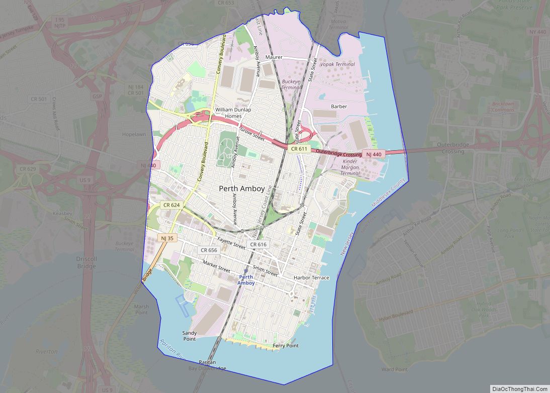
Perth Amboy is a city in Middlesex County, in the U.S. state of New Jersey. Perth Amboy is part of the New York metropolitan area. As of the 2020 United States census, the city’s population was 55,436, an increase of 4,622 (+9.1%) from the 2010 census count of 50,814, which in turn reflected an increase ... Read more
