Palisades Park (Korean: 팰리세이즈 파크, romanized: Paelliseijeu Pakeu) is a borough in Bergen County, in the U.S. state of New Jersey. As of the 2020 United States census, the borough’s population was 20,292, an increase of 670 (+3.4%) from the 2010 census count of 19,622, which in turn reflected an increase of 2,549 (+14.9%) from the 17,073 counted in the 2000 census.
The borough of Palisades Park was created by an act of the New Jersey Legislature on March 22, 1899, from portions of Ridgefield Township. A portion of its area was annexed by the neighboring borough of Fort Lee in April 1909. The borough was named for its location atop the New Jersey Palisades.
It is one of the largest and fastest growing ethnic Korean enclaves outside of Korea. Koreans comprise the majority (65%) of the population of the borough of Palisades Park, the municipality with the highest density of ethnic Koreans in the Western Hemisphere and the home of both the highest Korean-American density and percentage of any municipality in the United States. It has been called Koreatown on the Hudson and Little Korea.
| Name: | Palisades Park borough |
|---|---|
| LSAD Code: | 21 |
| LSAD Description: | borough (suffix) |
| State: | New Jersey |
| County: | Bergen County |
| Incorporated: | March 22, 1899 |
| Elevation: | 112 ft (34 m) |
| Total Area: | 1.28 sq mi (3.32 km²) |
| Land Area: | 1.24 sq mi (3.21 km²) |
| Water Area: | 0.04 sq mi (0.11 km²) 3.28% |
| Total Population: | 20,292 |
| Population Density: | 16,377.7/sq mi (6,323.5/km²) |
| ZIP code: | 07650 |
| Area code: | 201 |
| FIPS code: | 3455770 |
| GNISfeature ID: | 0885338 |
| Website: | www.mypalisadespark.com |
Online Interactive Map
Click on ![]() to view map in "full screen" mode.
to view map in "full screen" mode.
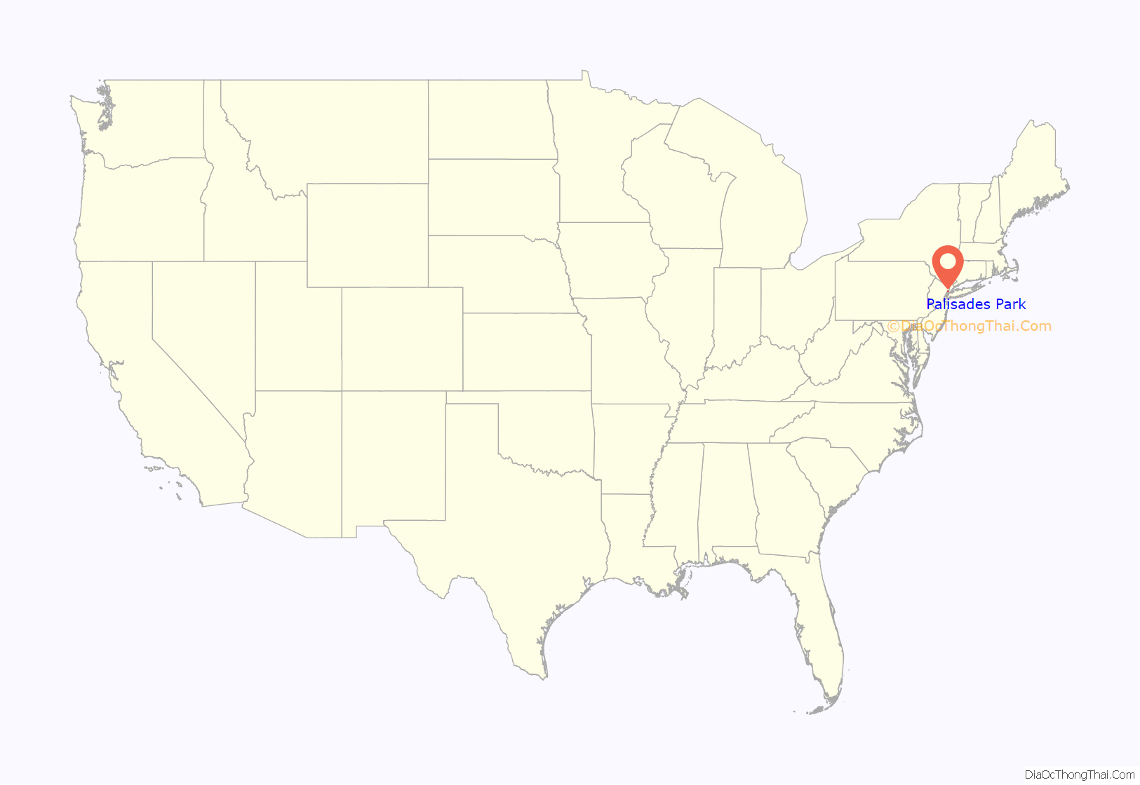
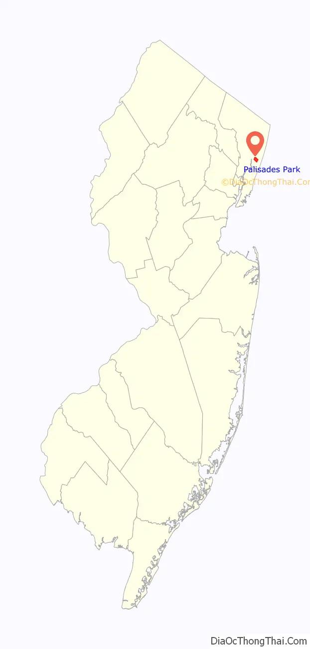
Palisades Park location map. Where is Palisades Park borough?
History
Until the 1980s, Palisades Park was overwhelmingly Caucasian, a mix of blue-collar workers and professionals whose families originated largely from Italy, Croatia, Germany, and Greece. Its houses were inexpensive, and it had a number of vacant shops and offices. In the 1990s, a continuous stream of Korean immigrants emerged into Palisades Park. A substantial number of affluent and educated Korean American professionals have settled in Bergen County since the early 2000s and have founded various academic and communally supportive organizations, including the Korean Parent Partnership Organization at the Bergen County Academies magnet high school and the Korean-American Association of New Jersey. Approximately 120 Korean stores were counted in Palisades Park in 2000, a number which has risen significantly since then, featuring restaurants and karaoke (noraebang) bars, grocery markets, education centers and bookstores, financial institutions, offices, electronics vendors, apparel boutiques, and other commercial enterprises.
In May 2012, borough officials rejected requests by two diplomatic delegations from Japan to remove a small monument from a public park, a brass plaque on a block of stone, dedicated in 2010 to the memory of comfort women, tens of thousands of women and girls, many Korean, who were forced into sexual slavery by Japanese soldiers during World War II. Days later, a South Korean delegation endorsed the borough’s decision. The first Japanese delegation cited apologies offered by their country’s government for its involvement as justifying the removal of the monument, while officials from the second delegation controversially claimed that “comfort women were a lie”. However, in neighboring Fort Lee, various Korean American groups could not reach consensus on the design and wording for such a monument as of early April 2013.
In May 2014, the Palisades Park Public Library created a memorial dedicated to the victims of the tragic sinking of the Sewol ferry off the South Korean coast on April 16, 2014.
Palisades Park Road Map

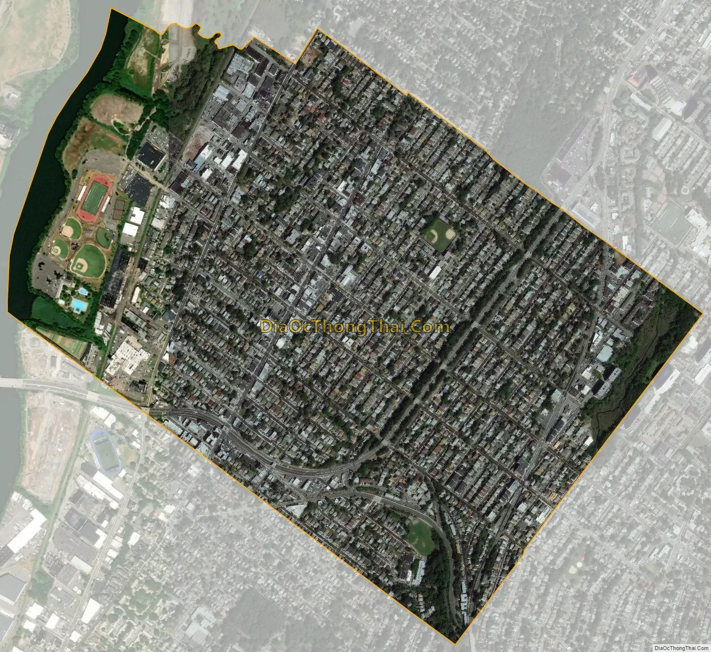
Palisades Park city Satellite Map
Geography
According to the U.S. Census Bureau, the borough had a total area of 1.28 square miles (3.32 km), including 1.24 square miles (3.21 km) of land and 0.04 square miles (0.11 km) of water (3.28%).
The borough borders Fort Lee, Leonia, Ridgefield and Ridgefield Park. Morsemere is a neighborhood largely in the northern part of Ridgefield straddling the southern border of Palisades Park.
The town’s central business district centered around Broad Avenue has been called Koreatown In mid-2015, a proposal was submitted by the Korean-American Association of Palisades Park to the mayor and council to add a second name to Broad Avenue, such as “Korean Market Street” (Meokjagolmok) or “Korea Way”.
See also
Map of New Jersey State and its subdivision: Map of other states:- Alabama
- Alaska
- Arizona
- Arkansas
- California
- Colorado
- Connecticut
- Delaware
- District of Columbia
- Florida
- Georgia
- Hawaii
- Idaho
- Illinois
- Indiana
- Iowa
- Kansas
- Kentucky
- Louisiana
- Maine
- Maryland
- Massachusetts
- Michigan
- Minnesota
- Mississippi
- Missouri
- Montana
- Nebraska
- Nevada
- New Hampshire
- New Jersey
- New Mexico
- New York
- North Carolina
- North Dakota
- Ohio
- Oklahoma
- Oregon
- Pennsylvania
- Rhode Island
- South Carolina
- South Dakota
- Tennessee
- Texas
- Utah
- Vermont
- Virginia
- Washington
- West Virginia
- Wisconsin
- Wyoming


