Phillipsburg is a town located along the Delaware River that is the most populous municipality in Warren County, in the U.S. state of New Jersey. As of the 2020 United States census, the town’s population was 15,249, an increase of 299 (+2.0%) from the 2010 census count of 14,950, which in turn reflected a decline of 216 (−1.4%) from the 15,166 counted in the 2000 census.
The Norfolk Southern Railway’s Lehigh Line, formerly the mainline of the Lehigh Valley Railroad with a mix of mainline trackage combined long leased to the Central Railroad of New Jersey by its builder Lehigh Coal & Navigation Company, runs through Phillipsburg and then across the Delaware River into Easton, Pennsylvania. The Belvidere Delaware Railroad was leased in 1871 and later acquired by the Pennsylvania Railroad, connecting the lower Poconos to Trenton, New Jersey and Philadelphia.
Phillipsburg is located 19.3 miles (31.1 km) northeast of Allentown, 78.9 miles (127.0 km) north of Philadelphia, and 70.1 miles (112.8 km) west of New York City.
| Name: | Phillipsburg town |
|---|---|
| LSAD Code: | 43 |
| LSAD Description: | town (suffix) |
| State: | New Jersey |
| County: | Warren County |
| Incorporated: | March 8, 1861 |
| Elevation: | 299 ft (91 m) |
| Total Area: | 3.31 sq mi (8.58 km²) |
| Land Area: | 3.19 sq mi (8.26 km²) |
| Water Area: | 0.12 sq mi (0.31 km²) 3.66% |
| Total Population: | 15,249 |
| Population Density: | 4,778.8/sq mi (1,845.1/km²) |
| ZIP code: | 08865 |
| Area code: | 908 exchanges: 213, 387, 454, 859, 995 |
| FIPS code: | 3458350 |
| GNISfeature ID: | 0885350 |
| Website: | www.phillipsburgnj.org |
Online Interactive Map
Click on ![]() to view map in "full screen" mode.
to view map in "full screen" mode.
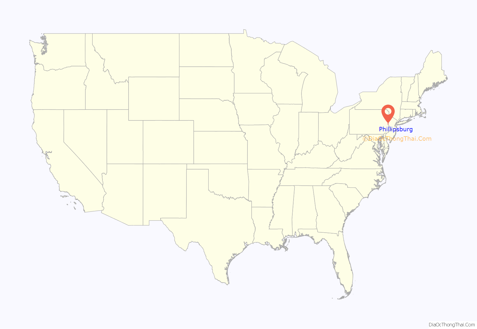
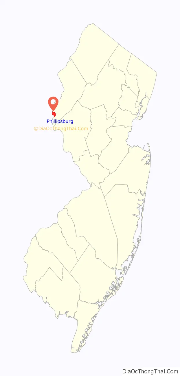
Phillipsburg location map. Where is Phillipsburg town?
History
The town grew from a sleepy agricultural village (in 1824), and was transformed into a transportation hub and shipping center as the Delaware River terminus of the Morris Canal (1829–1924), with operations commencing in 1831. the first transportation infrastructure project (of several, each eventually) giving the community a direct connection 107 miles (172 km) to New York City. The Central Railroad of New Jersey would soon follow with a connection, but the community’s growth (and for a long while, its importance) was that it reached the canal terminals of both the Delaware Canal and the Lehigh Canal by its cross-river cable ferry system to Easton, Pennsylvania. In 1853, the Lehigh Valley Railroad connected across the river with the CNJ and a passenger short line railroad, the Belvidere Delaware Railroad, as well as the Morris Canal, all within Phillipsburg. Rapid growth followed quickly.
Phillipsburg was incorporated as a town by an act of the New Jersey Legislature on March 8, 1861, from portions of Phillipsburg Township (now Lopatcong Township). The town was named for William Phillips, an early settler of the area.
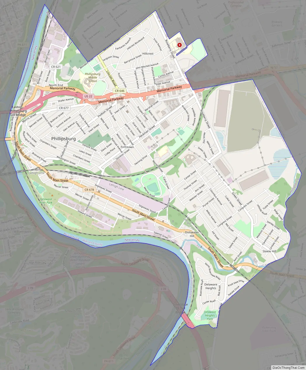
Phillipsburg Road Map
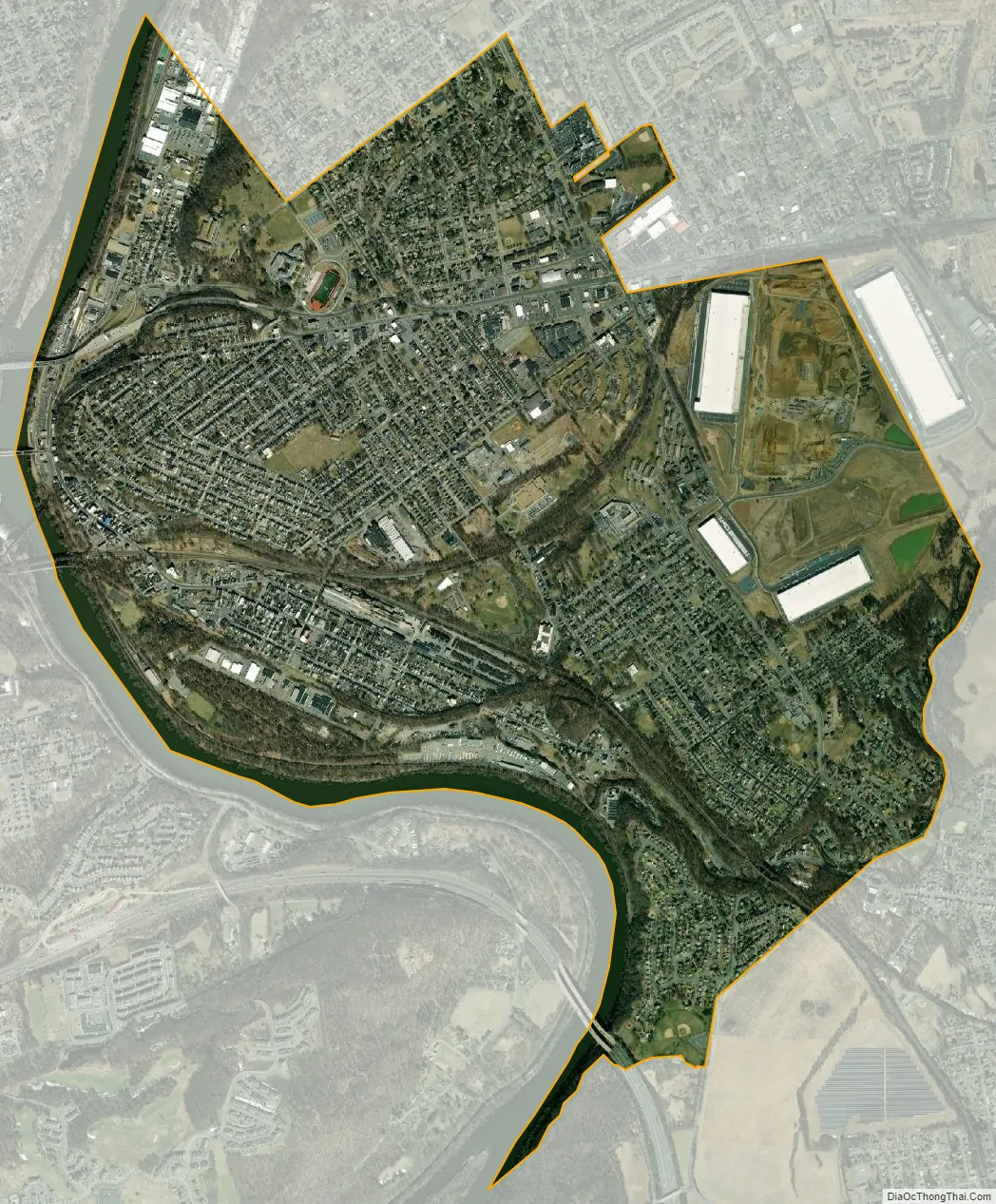
Phillipsburg city Satellite Map
Geography
According to the U.S. Census Bureau, the town had a total area of 3.31 square miles (8.58 km), including 3.19 square miles (8.26 km) of land and 0.12 square miles (0.31 km) of water (3.66%).
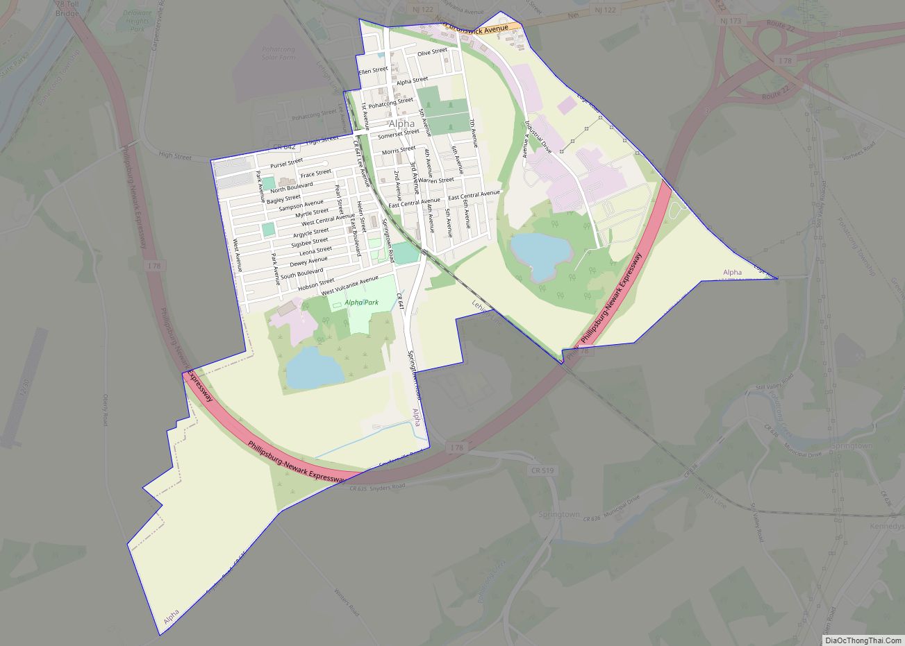
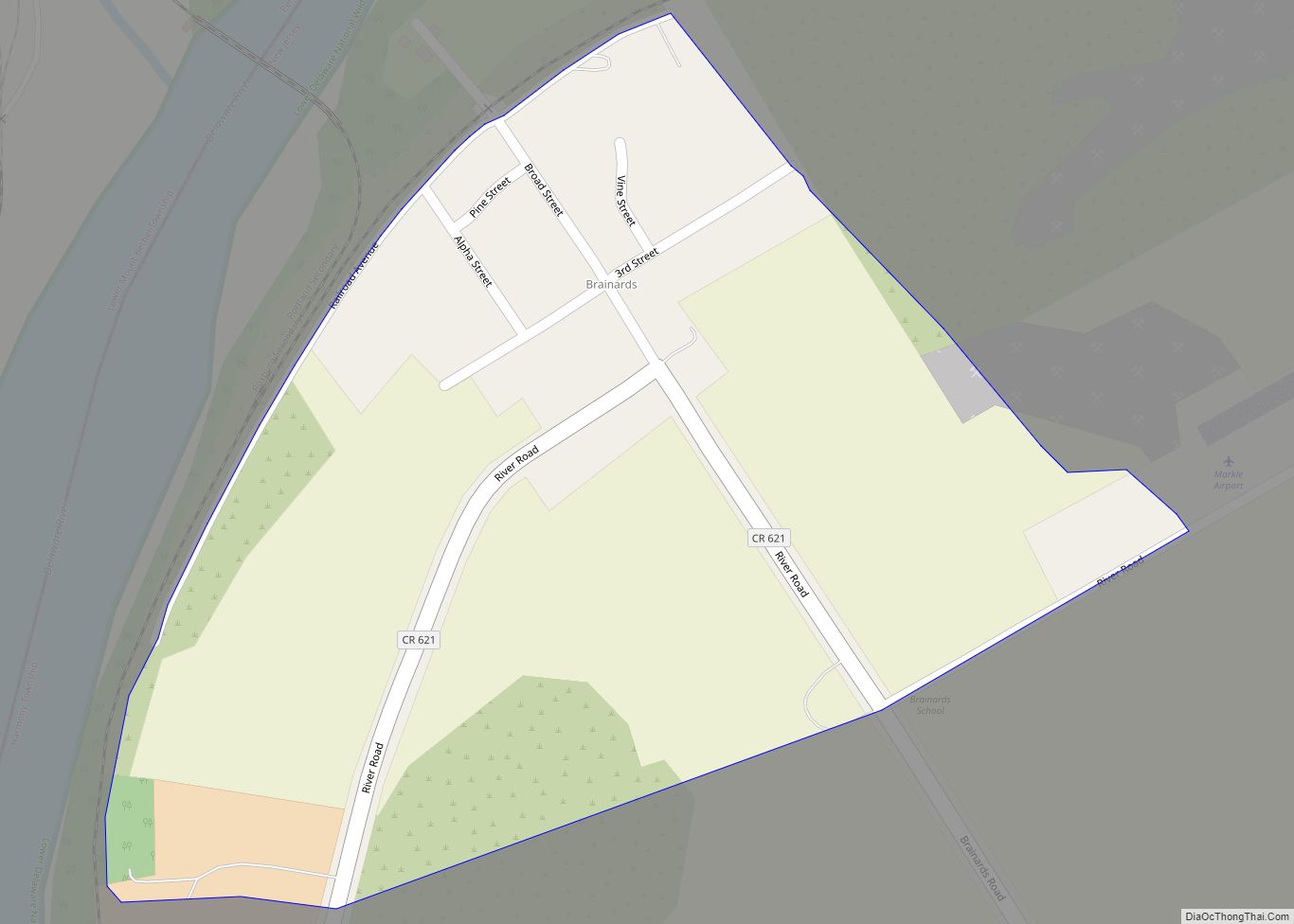
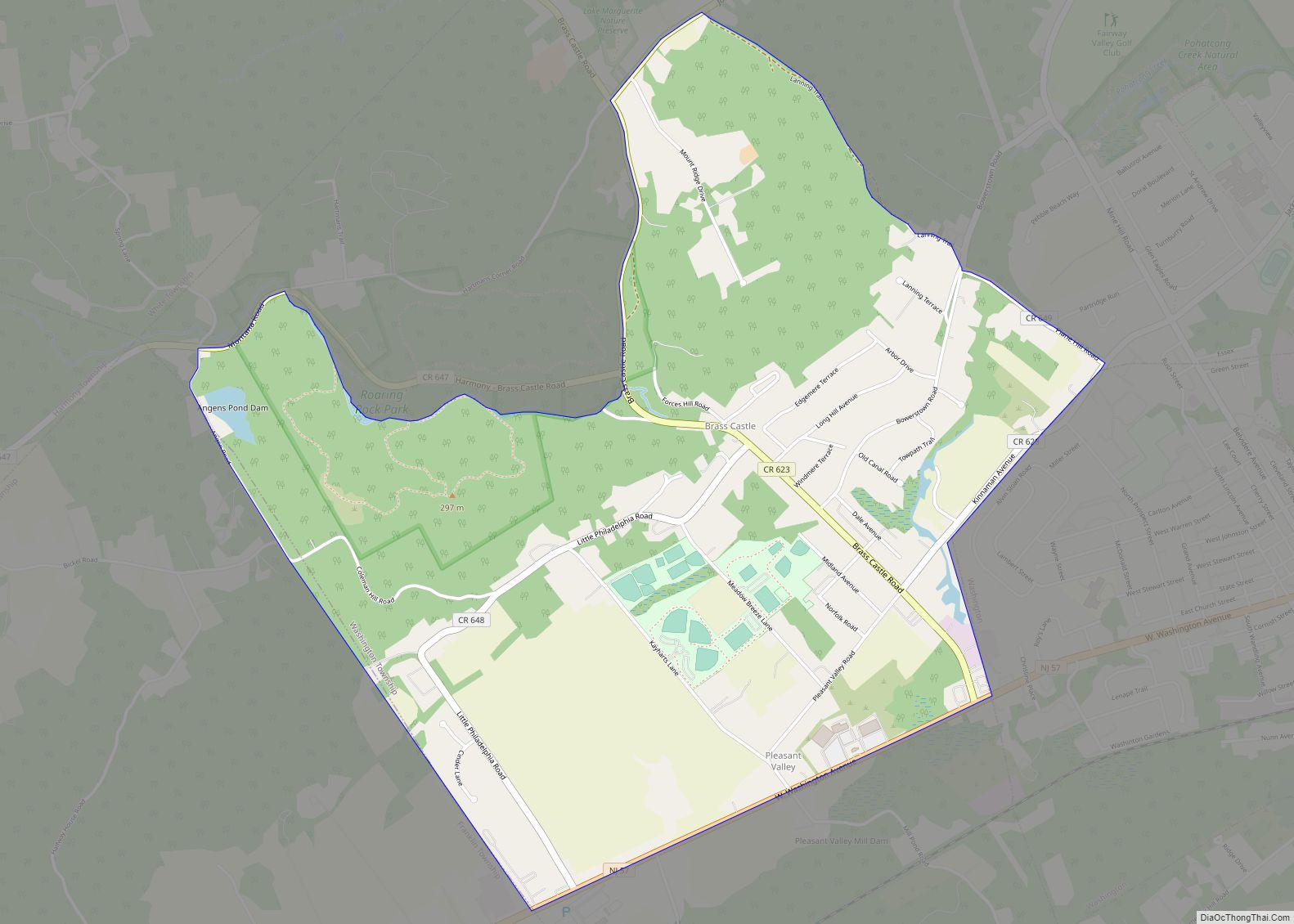
Unincorporated communities, localities and place names located partially or completely within the town include Andover Furnace, Delaware Park, Lopatcong Heights, Shirmers and Warren Heights.
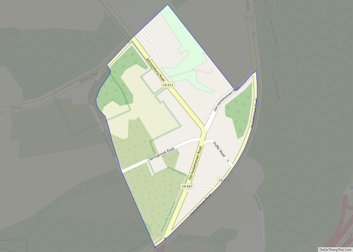
Pohatcong Mountain is a ridge, approximately 6 miles (9.7 km) long, in the Appalachian Mountains that extends from Phillipsburg northeast approximately to Washington.
Phillipsburg borders the municipalities of Lopatcong Township and Pohatcong Township in Warren County; and both Easton, Pennsylvania and Williams Township across the Delaware River in Northampton County, Pennsylvania.
Climate
See also
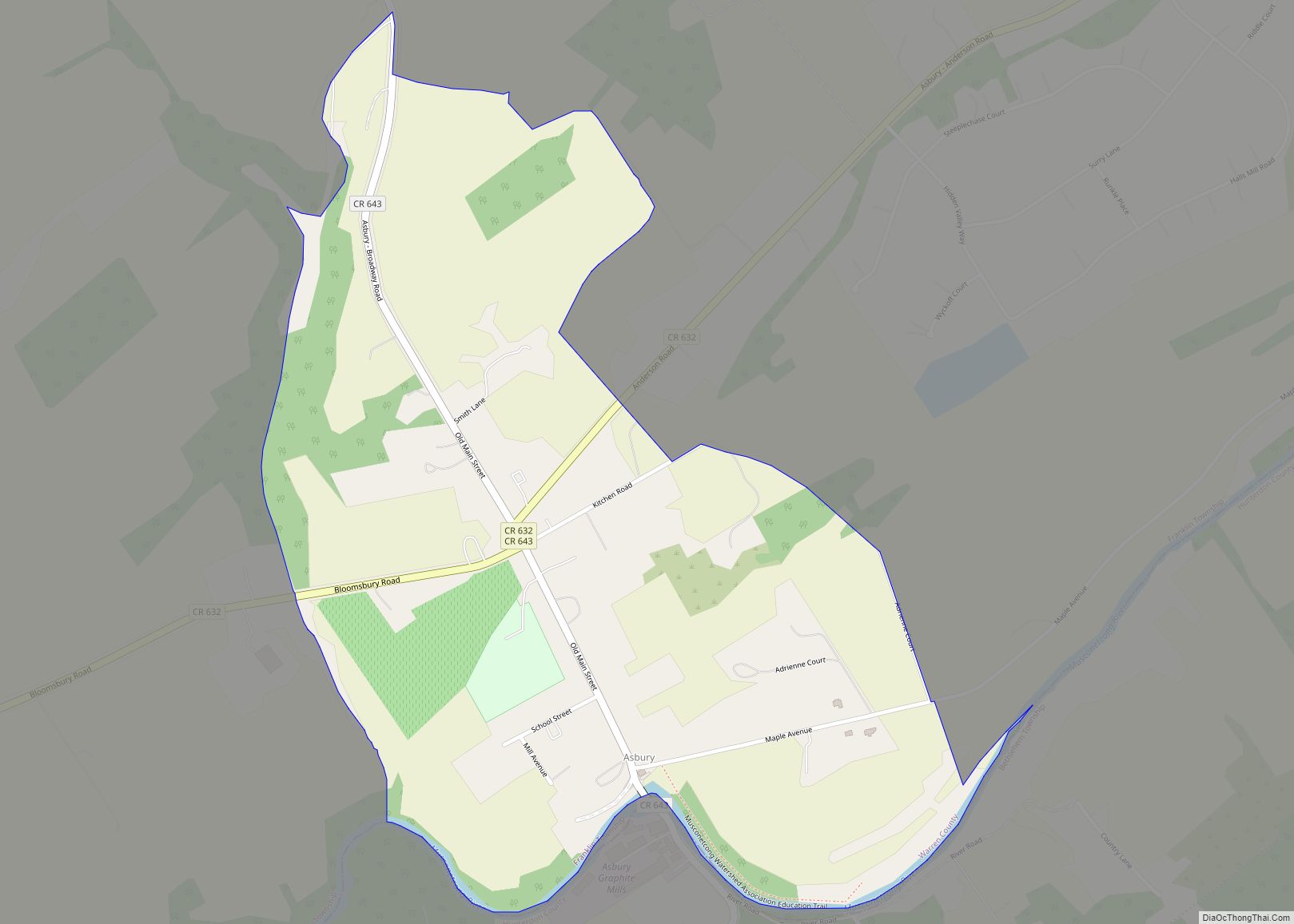
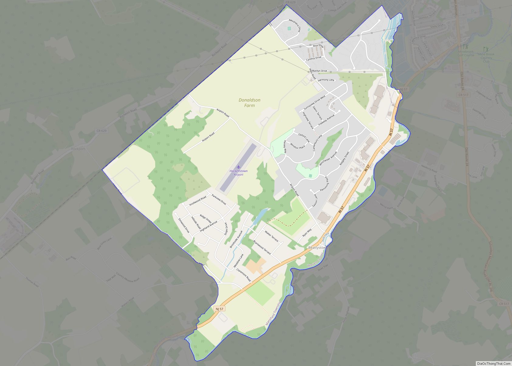
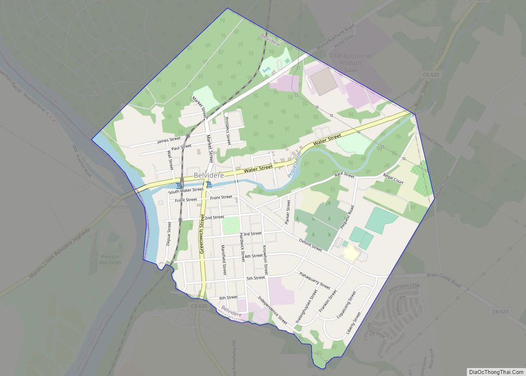
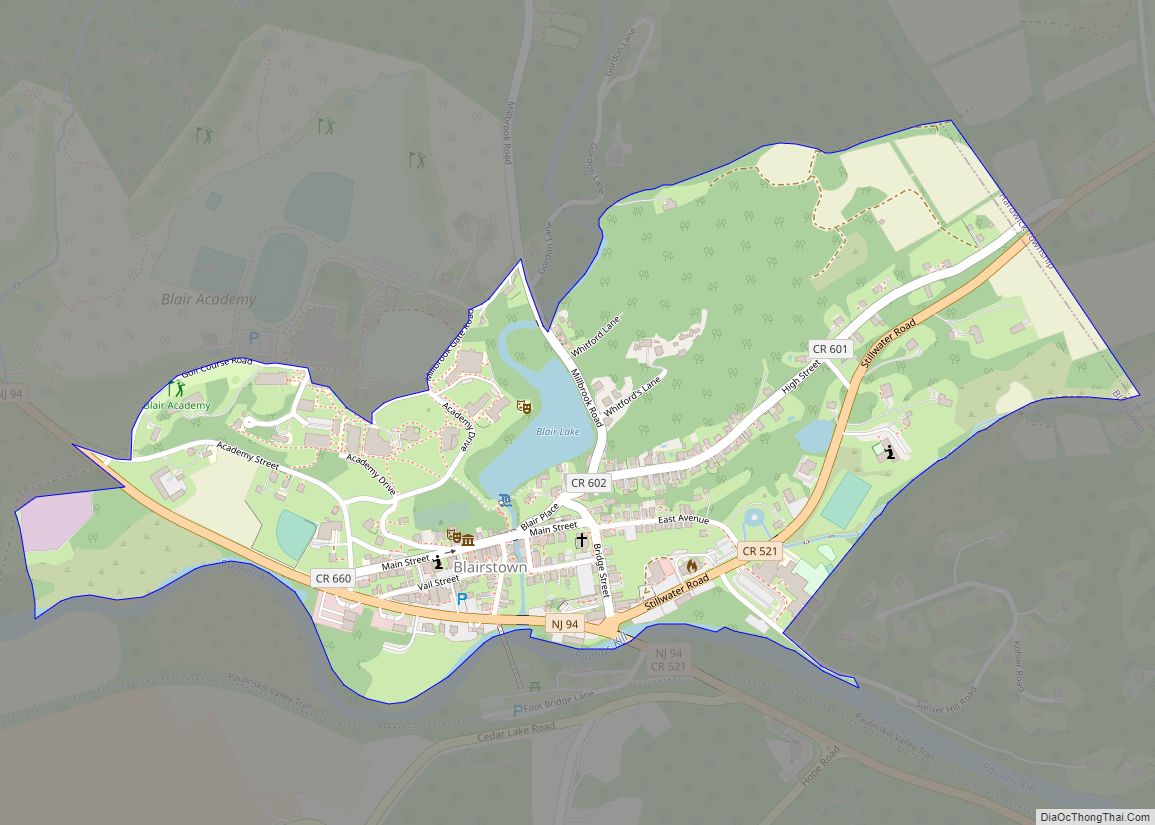
Map of New Jersey State and its subdivision: Map of other states:- Alabama
- Alaska
- Arizona
- Arkansas
- California
- Colorado
- Connecticut
- Delaware
- District of Columbia
- Florida
- Georgia
- Hawaii
- Idaho
- Illinois
- Indiana
- Iowa
- Kansas
- Kentucky
- Louisiana
- Maine
- Maryland
- Massachusetts
- Michigan
- Minnesota
- Mississippi
- Missouri
- Montana
- Nebraska
- Nevada
- New Hampshire
- New Jersey
- New Mexico
- New York
- North Carolina
- North Dakota
- Ohio
- Oklahoma
- Oregon
- Pennsylvania
- Rhode Island
- South Carolina
- South Dakota
- Tennessee
- Texas
- Utah
- Vermont
- Virginia
- Washington
- West Virginia
- Wisconsin
- Wyoming