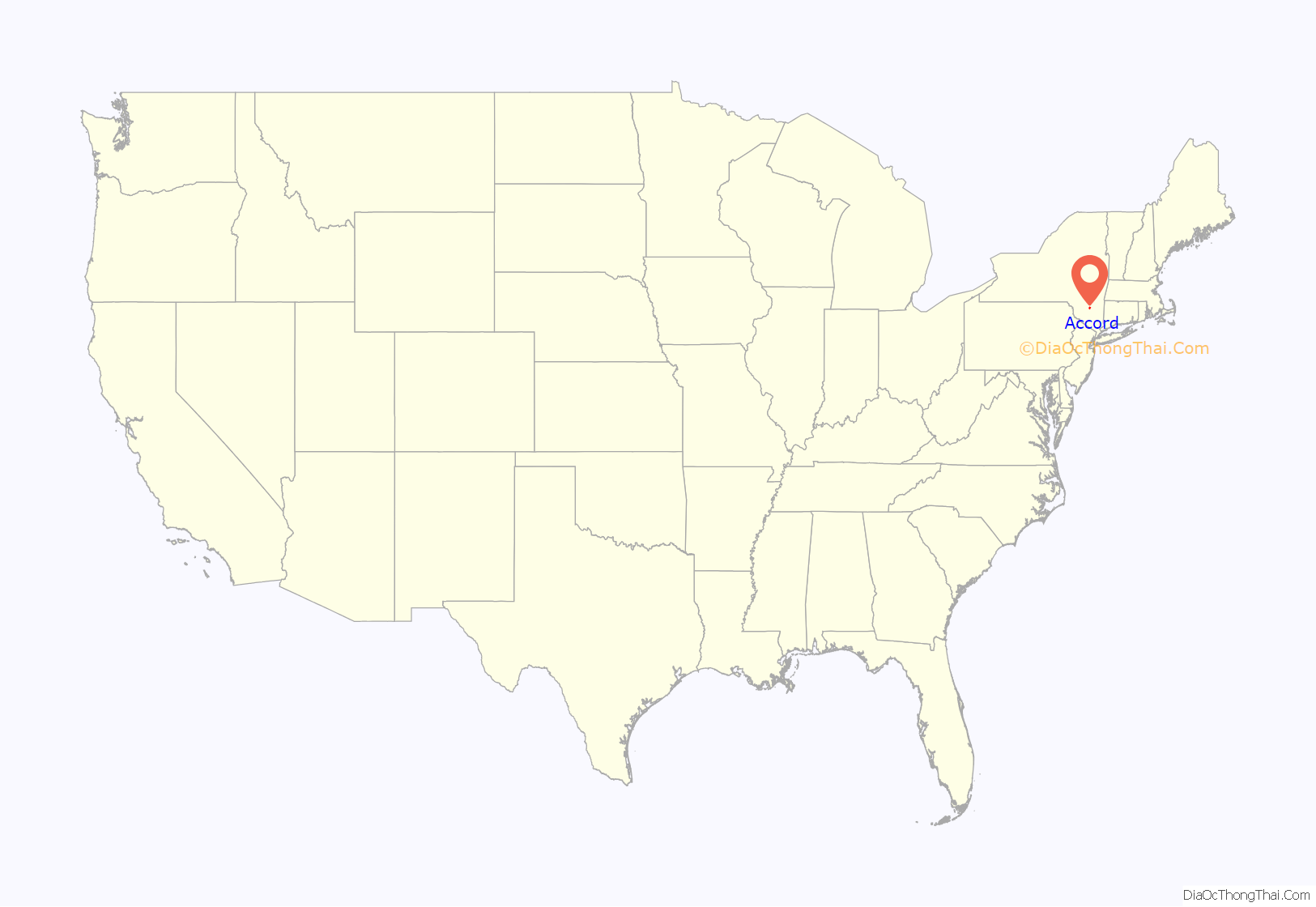
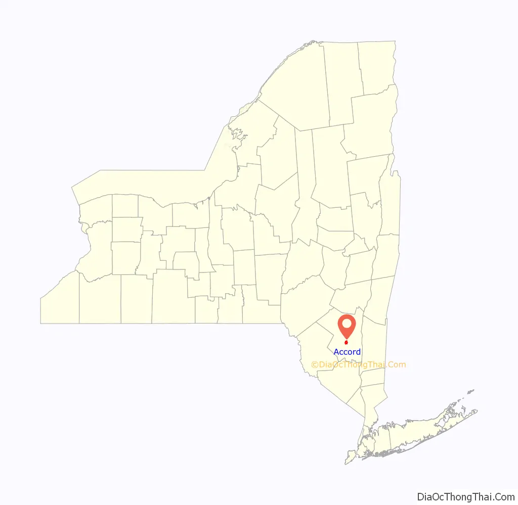
Accord /ˈækɔːrd/ is a hamlet and census-designated place (CDP) in Ulster County, New York, United States. Accord is located in the eastern part of the Town of Rochester (not to be confused with the City of Rochester) along US 209. Accord is the seat of town government. As of the 2020 census the population is 573.
Accord is also the name associated with the U.S. Postal Service Zip Code 12404, which takes in a much larger portion of Rochester than the CDP.
| Name: | Accord CDP |
|---|---|
| LSAD Code: | 57 |
| LSAD Description: | CDP (suffix) |
| State: | New York |
| County: | Ulster County |
| Elevation: | 253 ft (77 m) |
| Total Area: | 3.44 sq mi (8.92 km²) |
| Land Area: | 3.40 sq mi (8.81 km²) |
| Water Area: | 0.04 sq mi (0.11 km²) |
| Total Population: | 573 |
| Population Density: | 168.53/sq mi (65.06/km²) |
| ZIP code: | 12404 |
| Area code: | 845 |
| FIPS code: | 3600155 |
| GNISfeature ID: | 0942147 |
Online Interactive Map
Click on ![]() to view map in "full screen" mode.
to view map in "full screen" mode.
Accord location map. Where is Accord CDP?
History
A Delaware and Hudson Canal town originally named Port Jackson, it is thought that the name “Accord” resulted from a petition of the townspeople to the Capitol in Albany for a new name. The response was that the authorities could not come to an accord about a new name so the name “Accord” was chosen. The local pronunciation of this word is with a flat ‘A’ with the accent on the ‘A’ (ACK-kord).
Accord is home to a Paleolithic site discovered in 2004 called the ‘Mettacahonts Creek Find’, as it is currently being reviewed there is evidence of the items recovered dating to a period earlier than the currently accepted arrival of humans in North America. The over 200 specimens recovered, in pristine condition, are unusual in that there are multiples of the same lithics and there are large examples not commonly found in typical lithic sites in North America. It is also believed that the site was used over a period of many thousands of years. The collection is privately owned.
Appeldoorn Farm, Common School No. 10, and Joachim Schoonmaker Farm, in rural areas near the hamlet, are listed on the National Register of Historic Places. An application to list most of the hamlet on the Register as the Accord Historic District was filed with the U.S. National Park Service in December 2019; the next month it was approved and the district was listed.
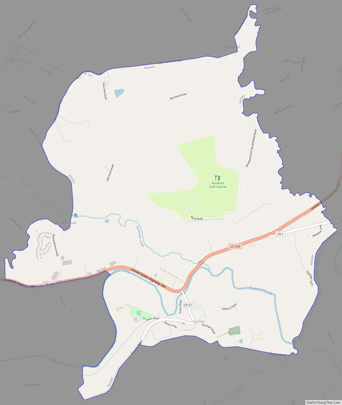
Accord Road Map
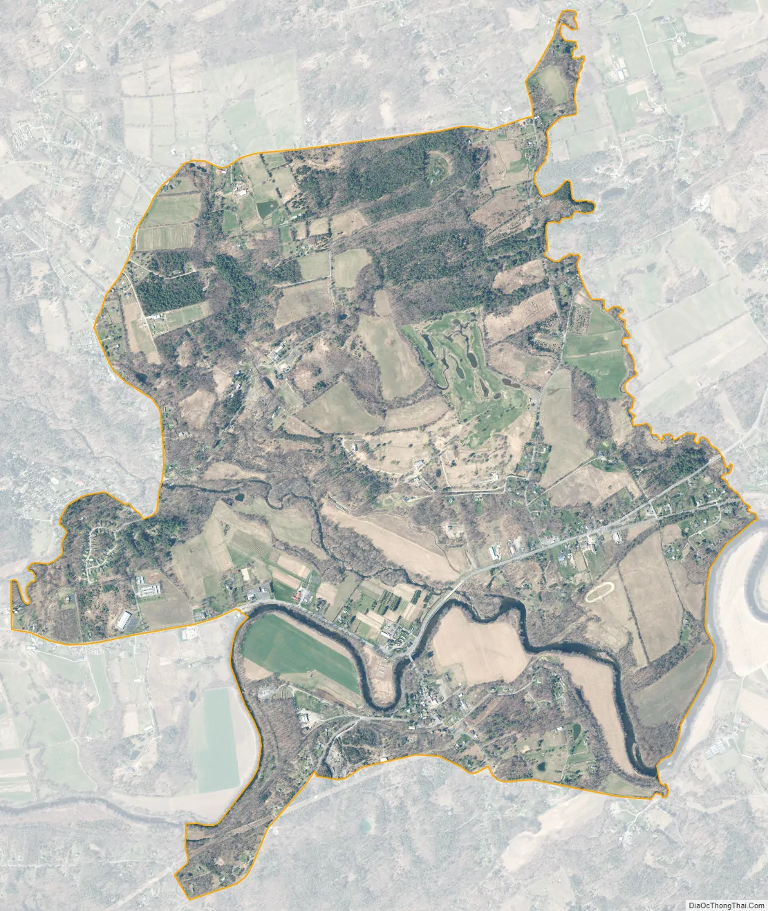
Accord city Satellite Map
Geography
Accord is located at 41°47′27″N 74°13′43″W / 41.79083°N 74.22861°W / 41.79083; -74.22861 (41.791103, -74.228766).
According to the United States Census Bureau, the CDP has a total area of 3.4 square miles (8.8 km), of which 3.4 square miles (8.8 km) is land and 0.1 square miles (0.26 km) (1.45%) is water.
See also
Map of New York State and its subdivision:- Albany
- Allegany
- Bronx
- Broome
- Cattaraugus
- Cayuga
- Chautauqua
- Chemung
- Chenango
- Clinton
- Columbia
- Cortland
- Delaware
- Dutchess
- Erie
- Essex
- Franklin
- Fulton
- Genesee
- Greene
- Hamilton
- Herkimer
- Jefferson
- Kings
- Lake Ontario
- Lewis
- Livingston
- Madison
- Monroe
- Montgomery
- Nassau
- New York
- Niagara
- Oneida
- Onondaga
- Ontario
- Orange
- Orleans
- Oswego
- Otsego
- Putnam
- Queens
- Rensselaer
- Richmond
- Rockland
- Saint Lawrence
- Saratoga
- Schenectady
- Schoharie
- Schuyler
- Seneca
- Steuben
- Suffolk
- Sullivan
- Tioga
- Tompkins
- Ulster
- Warren
- Washington
- Wayne
- Westchester
- Wyoming
- Yates
- Alabama
- Alaska
- Arizona
- Arkansas
- California
- Colorado
- Connecticut
- Delaware
- District of Columbia
- Florida
- Georgia
- Hawaii
- Idaho
- Illinois
- Indiana
- Iowa
- Kansas
- Kentucky
- Louisiana
- Maine
- Maryland
- Massachusetts
- Michigan
- Minnesota
- Mississippi
- Missouri
- Montana
- Nebraska
- Nevada
- New Hampshire
- New Jersey
- New Mexico
- New York
- North Carolina
- North Dakota
- Ohio
- Oklahoma
- Oregon
- Pennsylvania
- Rhode Island
- South Carolina
- South Dakota
- Tennessee
- Texas
- Utah
- Vermont
- Virginia
- Washington
- West Virginia
- Wisconsin
- Wyoming


