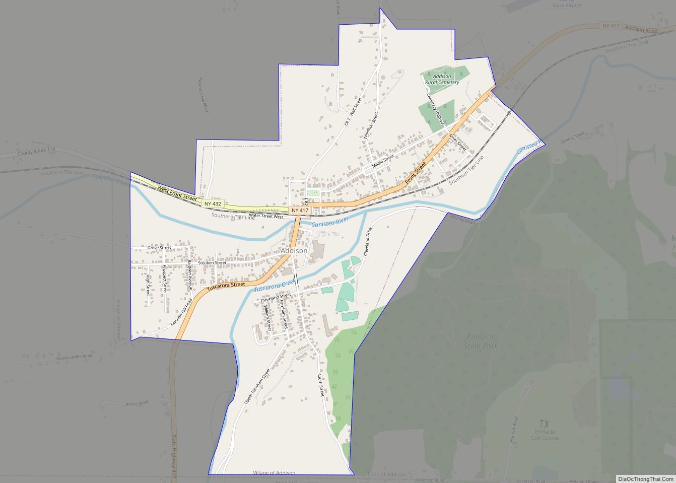
Addison is a village in Steuben County, New York, United States. The population was 1,763 at the 2010 census. The village and the surrounding town are named after the author Joseph Addison.
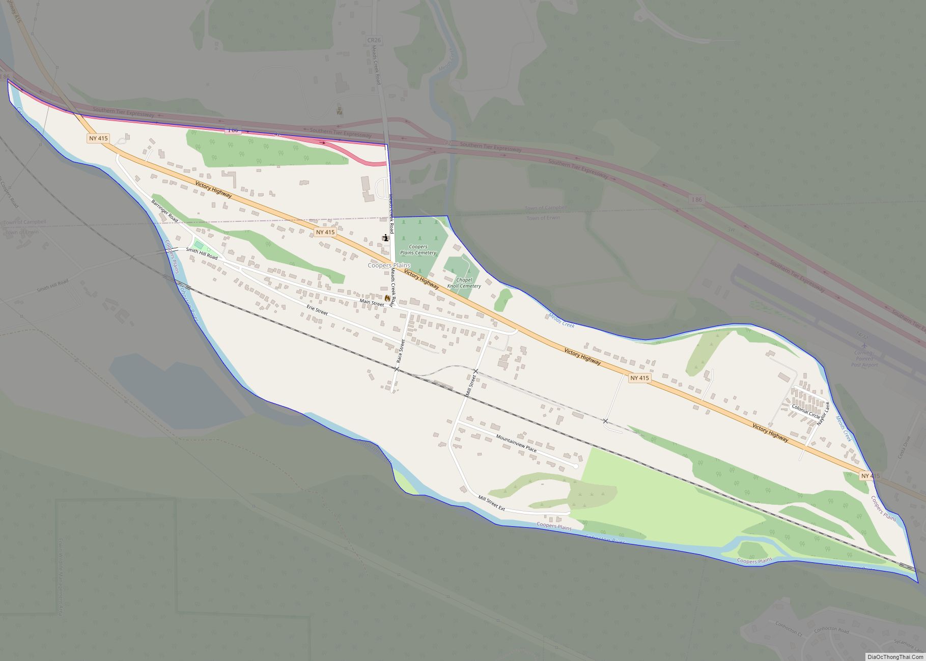
The Village of Addison is in the southeast part of the Town of Addison. The village is southwest of City of Corning.
Pinnacle State Park and Golf Course is east of the village.
| Name: | Addison village |
|---|---|
| LSAD Code: | 47 |
| LSAD Description: | village (suffix) |
| State: | New York |
| County: | Steuben County |
| Elevation: | 997 ft (304 m) |
| Total Area: | 1.89 sq mi (4.90 km²) |
| Land Area: | 1.89 sq mi (4.90 km²) |
| Water Area: | 0.00 sq mi (0.00 km²) |
| Total Population: | 1,561 |
| Population Density: | 824.62/sq mi (318.42/km²) |
| ZIP code: | 14801 |
| Area code: | 607 |
| FIPS code: | 3600276 |
| GNISfeature ID: | 0942177 |
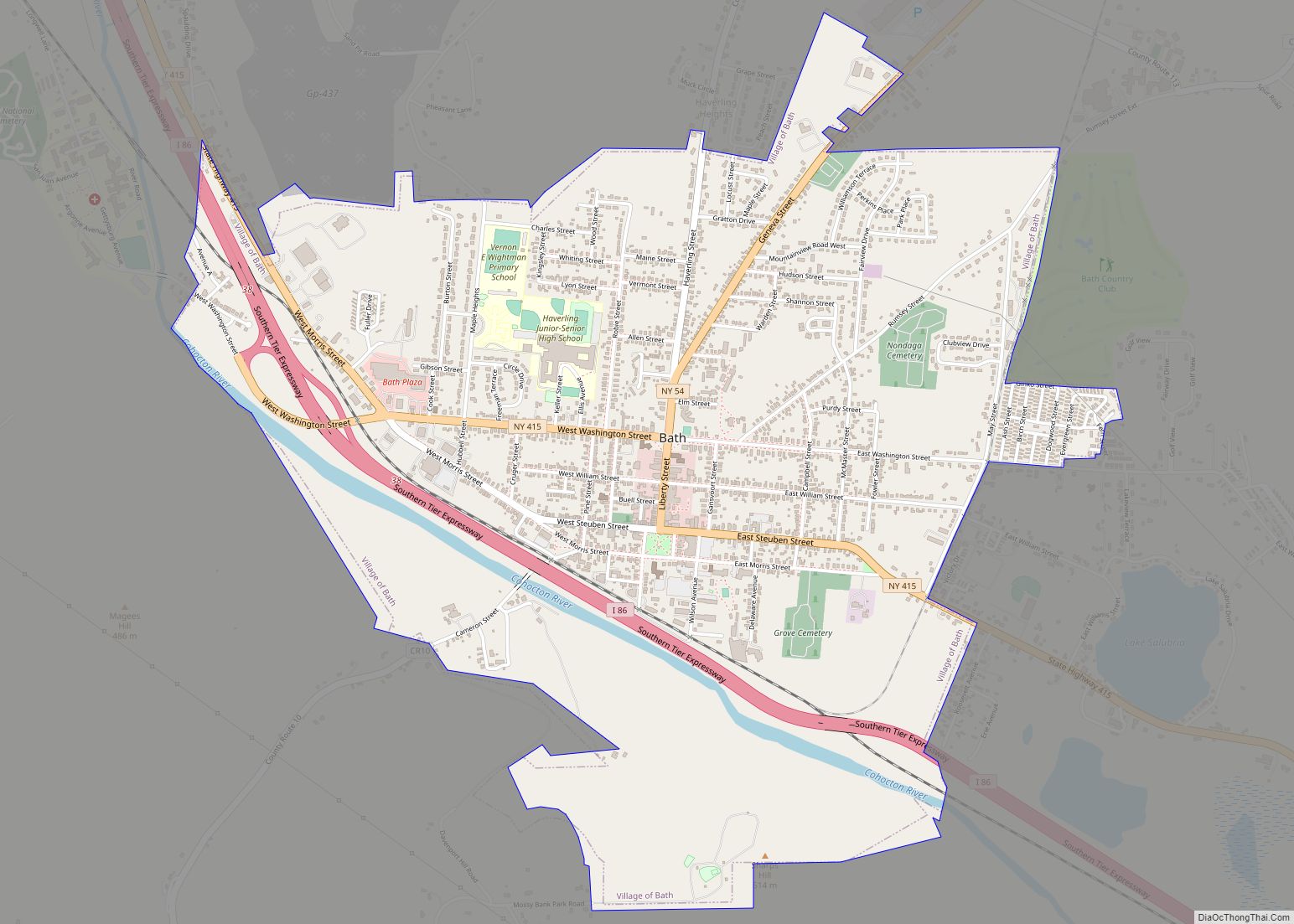
Online Interactive Map
Click on ![]() to view map in "full screen" mode.
to view map in "full screen" mode.
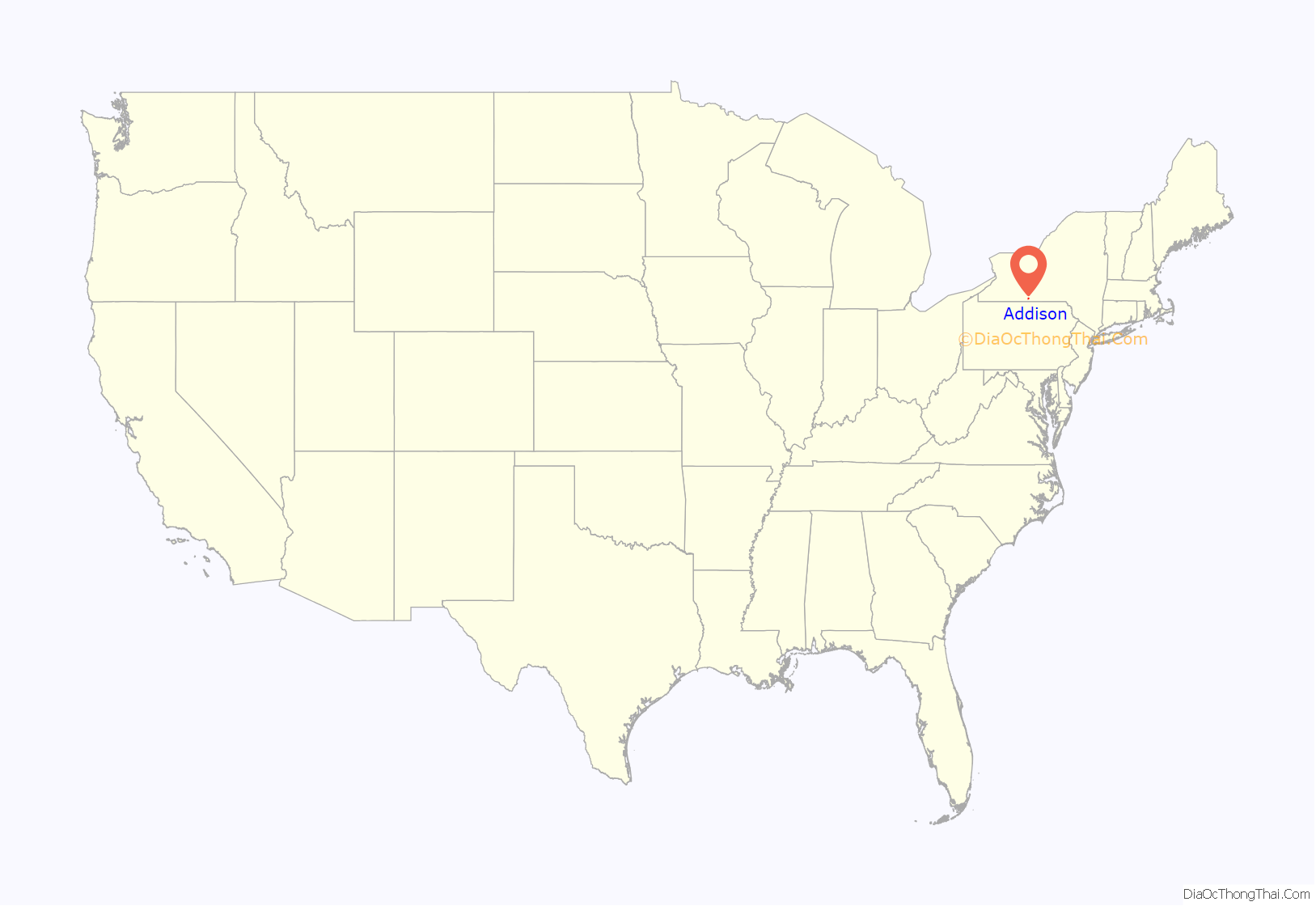
Addison location map. Where is Addison village?

History
The village was first incorporated in 1854 and re-incorporated in 1873.
Company E, 34th New York Volunteer Infantry Regiment, was principally recruited here during the American Civil War.
The population of Addison in 1990 was 1,842.
The Addison Village Hall, Church of the Redeemer, and William Wombough House are individually listed on the National Register of Historic Places. Also listed are the national historic districts: Main Street Historic District and Maple Street Historic District.
Addison Road Map

Addison city Satellite Map

Geography
Addison is located at 42°6′28″N 77°13′56″W / 42.10778°N 77.23222°W / 42.10778; -77.23222.
According to the United States Census Bureau, the village has a total area of 1.9 square miles (4.9 km), all land.
Steuben County Route 119 (former New York State Route 432) and New York State Route 417, along with County Roads 1 and 5 pass through the village. Tuscarora Creek flows into the Canisteo River in the village.
The village is in the Southern Tier of New York.
Addison is on the New Jersey-to-Buffalo Main Line of the Norfolk Southern Railway. Trains of the Canadian Pacific Railway operating under haulage arrangements also operate on this line through Addison. This line was opened in 1850 and known, prior to its 1999 acquisition by the Norfolk Southern, under the following names: New York & Erie Rail Road; Erie Railway; New York, Lake Erie & Western Railroad; Erie Railroad; Erie-Lackawanna Railroad; Erie Lackawanna Railroad; Erie Lackawanna Railway, and Consolidated Rail Corporation [Conrail].
From 1882 to 1961 Addison was also served by the Wellsville, Addison & Galeton Railroad and predecessors ( most notably the Baltimore & Ohio Railroad [1932—1956], the Buffalo & Susquehanna Railroad 1898-1932, and the Addison & Northern Pennsylvania Railroad]. The WA&G line was abandoned in 1961 by order of the Interstate Commerce Commission in order to promote highway transportation.
Climate
See also
Map of New York State and its subdivision:- Albany
- Allegany
- Bronx
- Broome
- Cattaraugus
- Cayuga
- Chautauqua
- Chemung
- Chenango
- Clinton
- Columbia
- Cortland
- Delaware
- Dutchess
- Erie
- Essex
- Franklin
- Fulton
- Genesee
- Greene
- Hamilton
- Herkimer
- Jefferson
- Kings
- Lake Ontario
- Lewis
- Livingston
- Madison
- Monroe
- Montgomery
- Nassau
- New York
- Niagara
- Oneida
- Onondaga
- Ontario
- Orange
- Orleans
- Oswego
- Otsego
- Putnam
- Queens
- Rensselaer
- Richmond
- Rockland
- Saint Lawrence
- Saratoga
- Schenectady
- Schoharie
- Schuyler
- Seneca
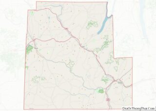
- Steuben
- Suffolk
- Sullivan
- Tioga
- Tompkins
- Ulster
- Warren
- Washington
- Wayne
- Westchester
- Wyoming
- Yates
- Alabama
- Alaska
- Arizona
- Arkansas
- California
- Colorado
- Connecticut
- Delaware
- District of Columbia
- Florida
- Georgia
- Hawaii
- Idaho
- Illinois
- Indiana
- Iowa
- Kansas
- Kentucky
- Louisiana
- Maine
- Maryland
- Massachusetts
- Michigan
- Minnesota
- Mississippi
- Missouri
- Montana
- Nebraska
- Nevada
- New Hampshire
- New Jersey
- New Mexico
- New York
- North Carolina
- North Dakota
- Ohio
- Oklahoma
- Oregon
- Pennsylvania
- Rhode Island
- South Carolina
- South Dakota
- Tennessee
- Texas
- Utah
- Vermont
- Virginia
- Washington
- West Virginia
- Wisconsin
- Wyoming